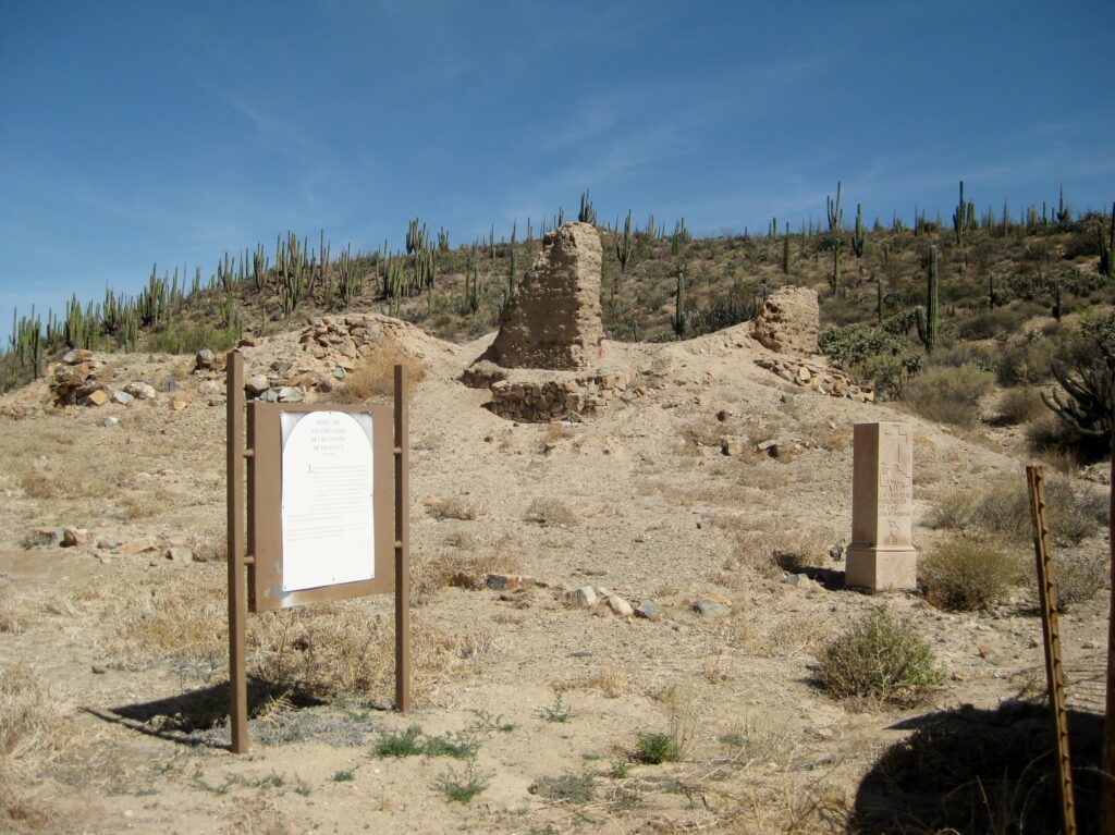
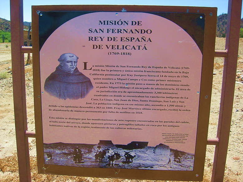
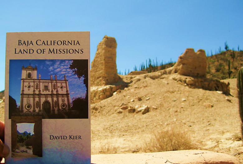
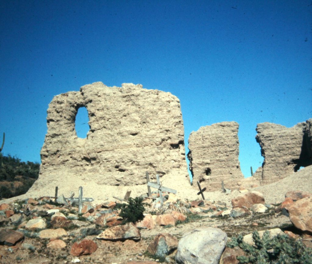
Full name: San Fernando de Velicatá
Founding date: May 14, 1769 Mission #18
Catholic Order: Franciscan
Founded by: Padre Junípero Serra
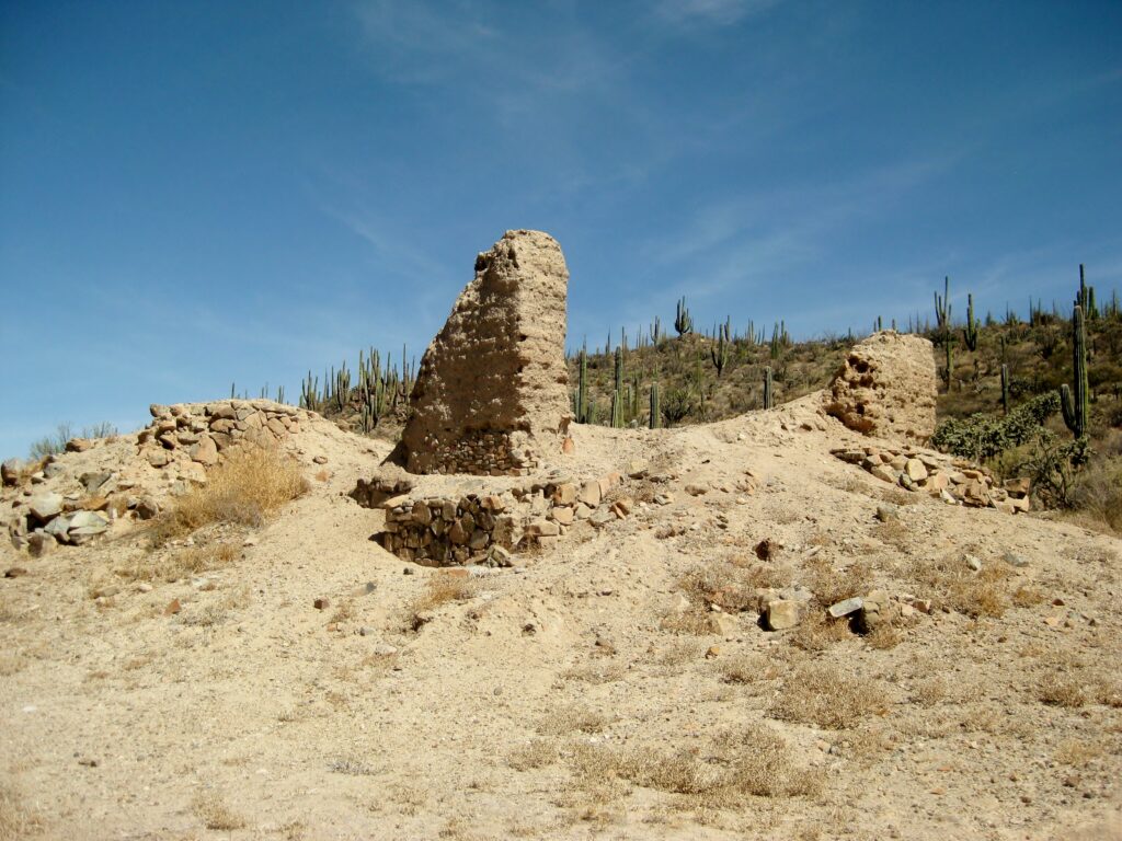
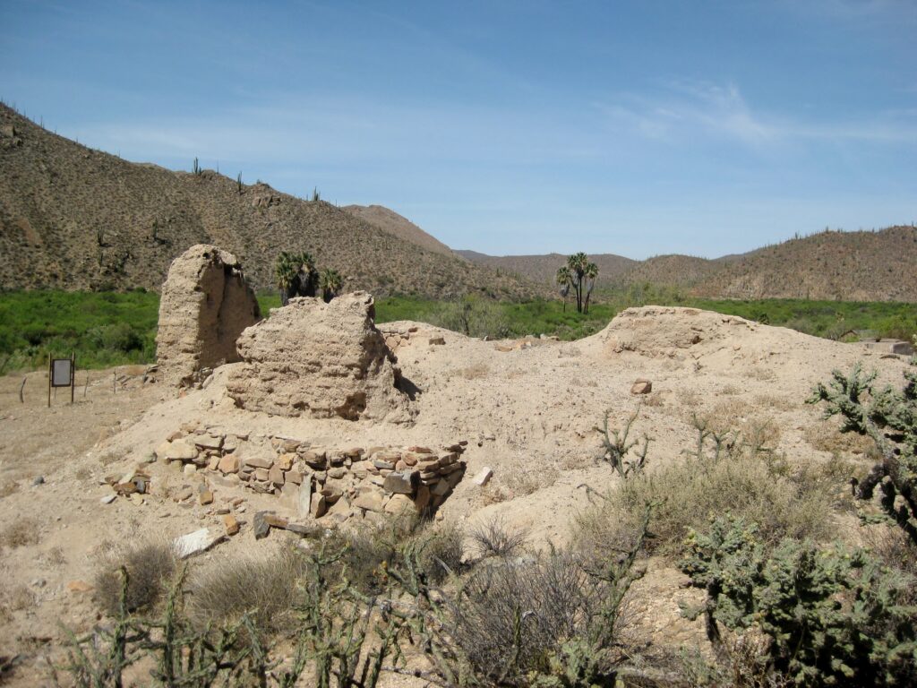
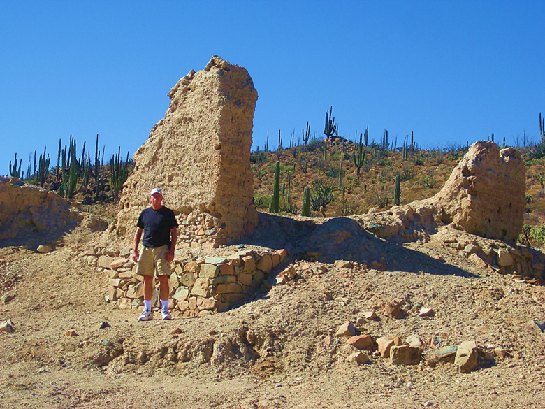
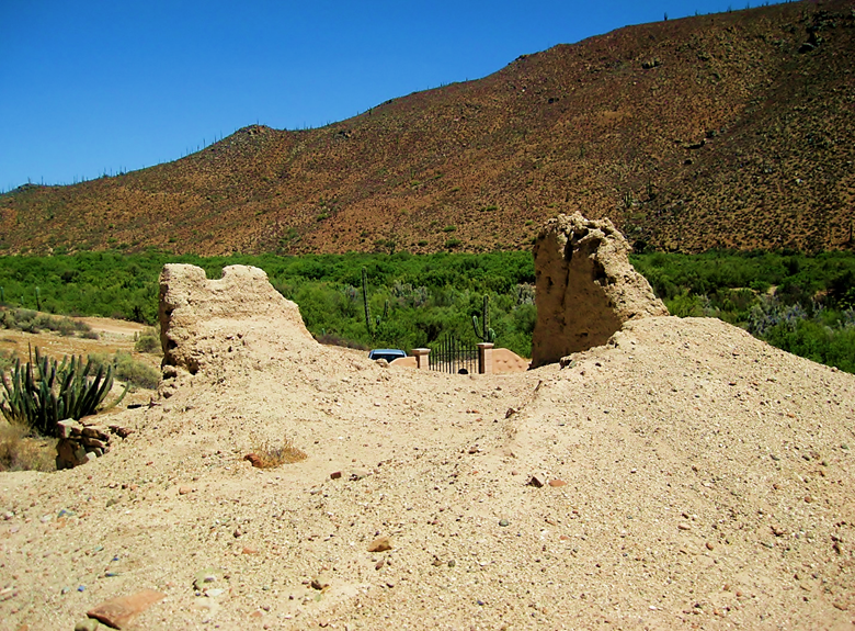
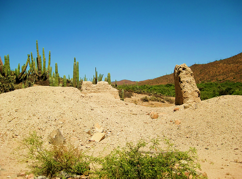
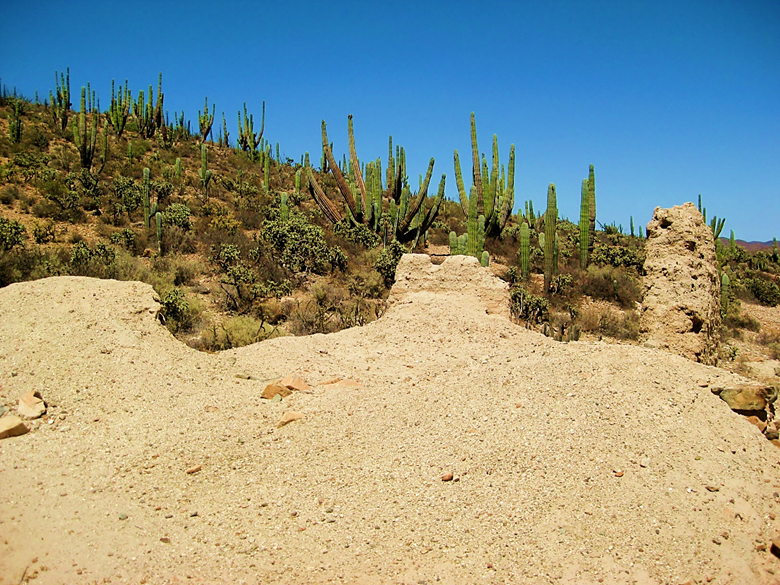
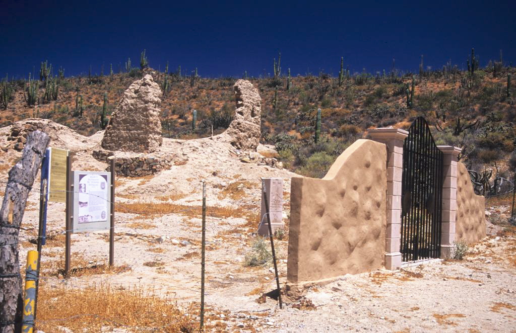
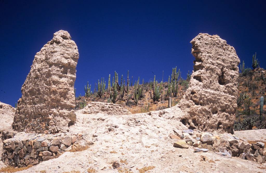
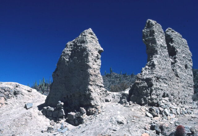
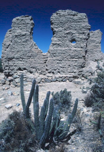
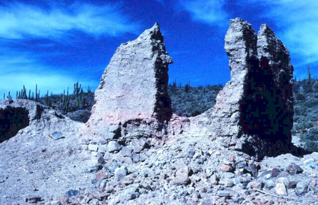
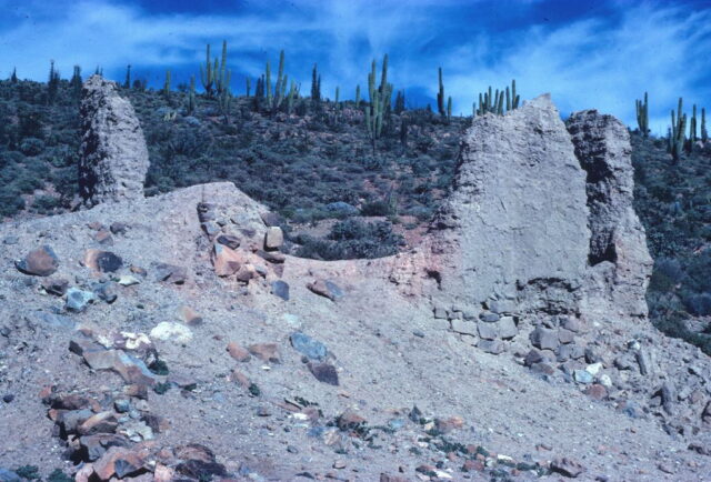
Condition: Adobe ruins remaining date to the 1790s
Closing date: Closed in 1822
GPS: 29.971109, -115.236434
Access: Mex. #1, Km. 121, south of San Quintín, 2.3 miles southwest, cattle gate at 1 mile (open in 2025).
>To see where Mission San Fernando de Velicatá is, maps and directions at bottom of page<<
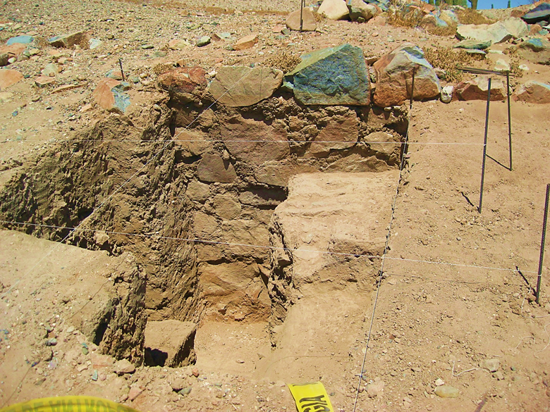
2025
2017


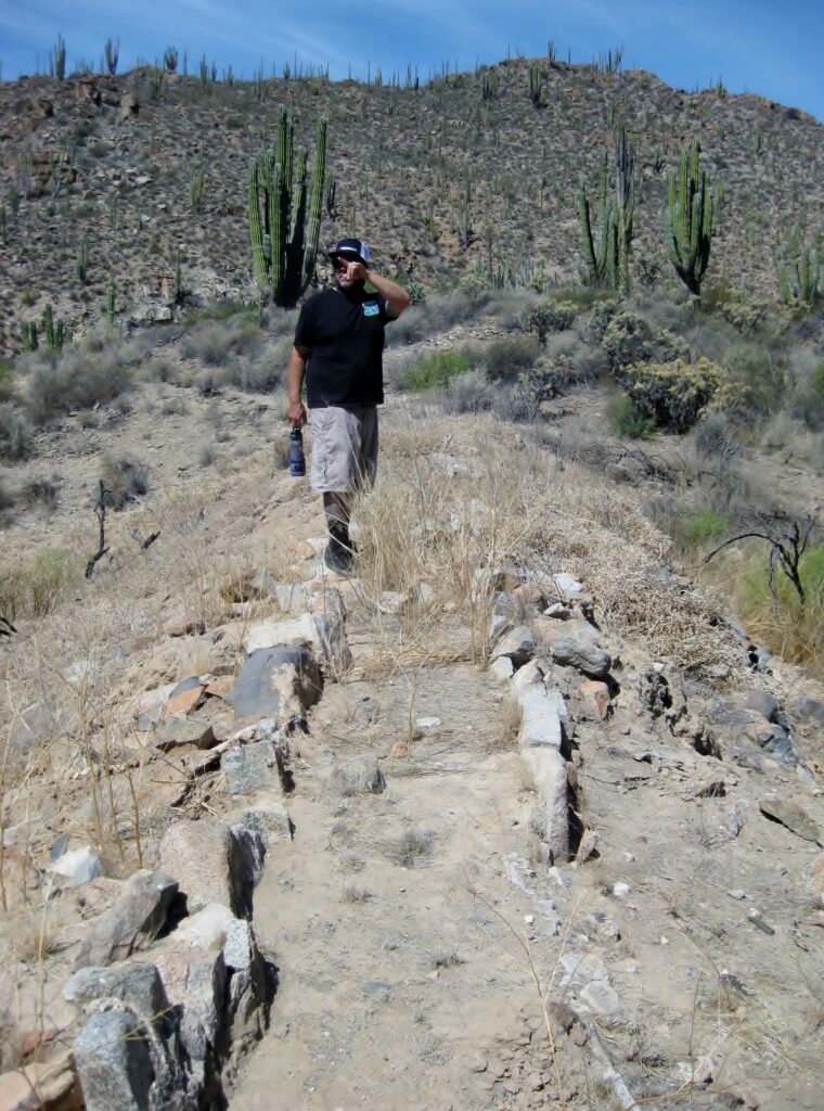
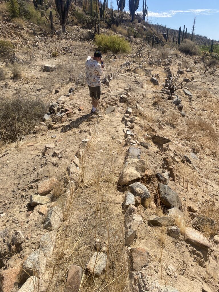
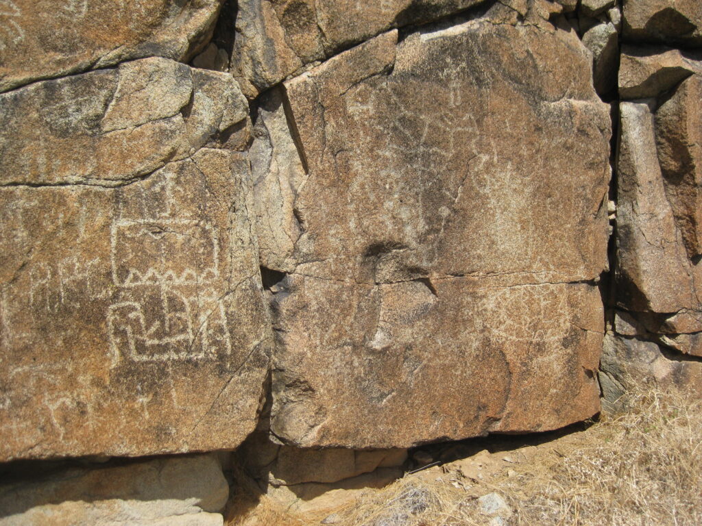
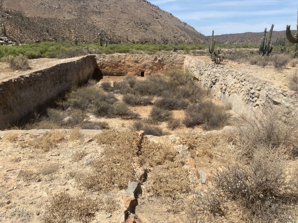
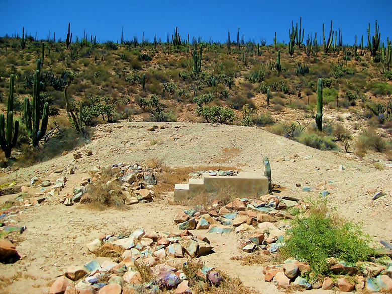
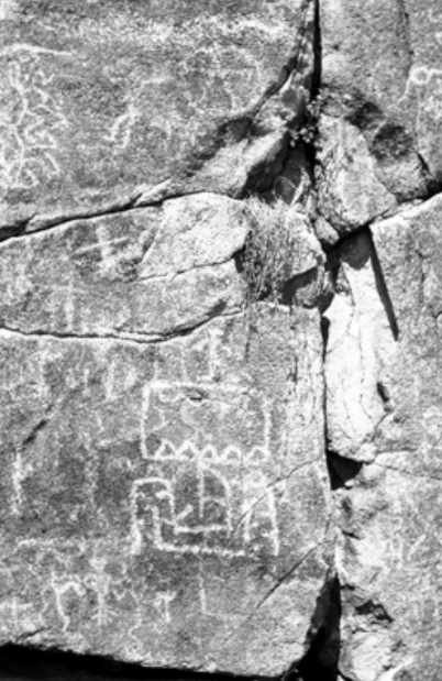
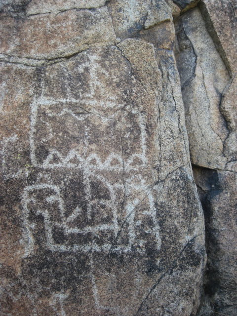
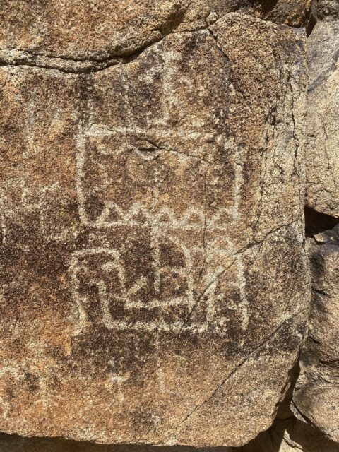
1 mile west and south, down the arroyo, and past the petroglyphs, is the mission ‘pila’ or reservoir.

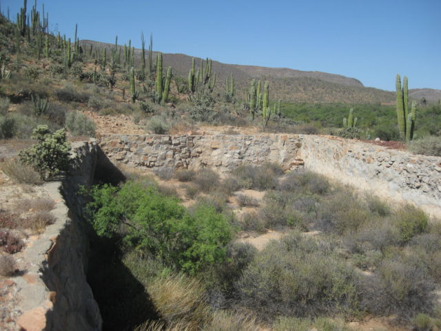
Below, two photos showing the water aqueduct that once brought water here from upstream.


INAH Plans: reservoir and aqueduct:


Sept-2016

July-2016
2008 Photos by Hans Bertsch:
Dec. 31, 2004 Photos by David Kier:


2000 Photo by David Kier:

1987 Photos by Hans Bertsch:
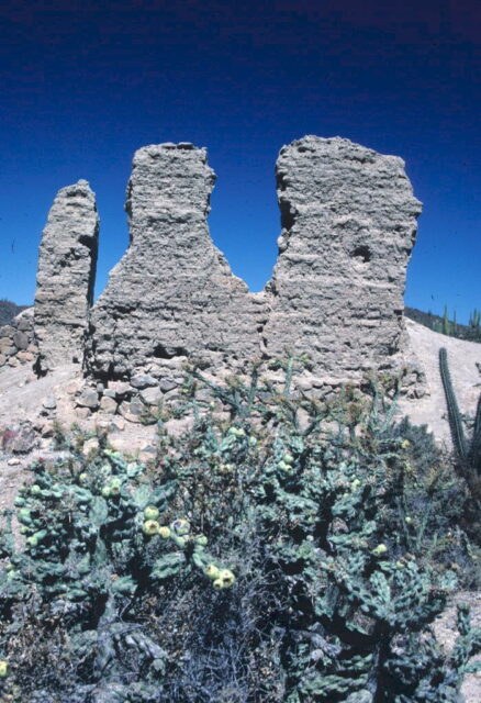
1981 Photos by Hans Bertsch:
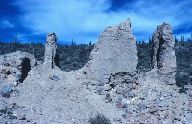
1975 Photo by David Kier (southeast side of ruins):

1974 Photo by David Kier (west side of ruins):

1953 (photo by Howard Gulick):


1926 (photos by George Hendry):


1926 photo by Peveril Meigs:
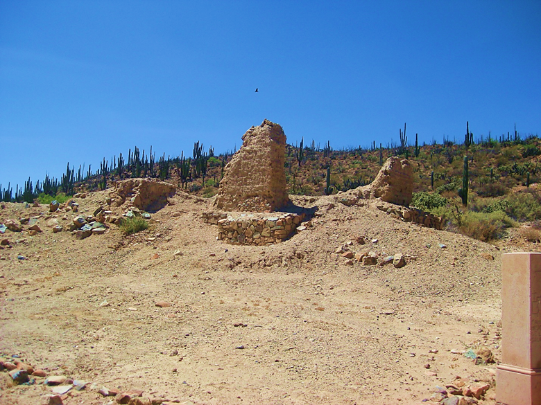
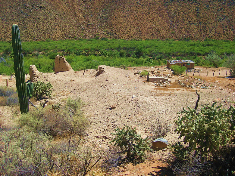
2017:
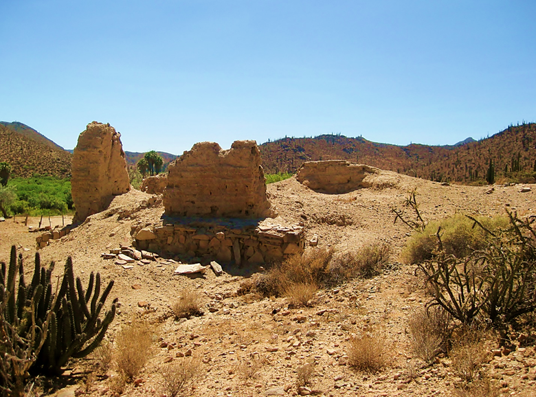
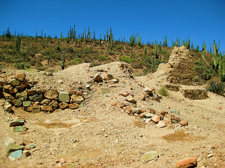
2025:
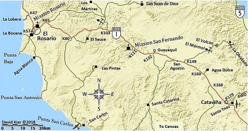
- GPS: 29.971109, -115.236434
- Directions: Highway #1, Km. 121 (south from San Quintín), 2.3 miles south and west. A cattle gate may be locked 1 mile from the mission.
- Mission Santo Domingo in photos: https://vivabaja.com/santo-domingo-in-photos/
- Mission Rosario (de Arriba) in photos: https://vivabaja.com/rosario-de-arriba/
- Mission Rosario de Abajo in photos: https://vivabaja.com/rosario-de-abajo
- Mission San Fernando in photos: https://vivabaja.com/san-fernando/
- Mission Santa María in photos: https://vivabaja.com/santa-maria/
- Mission San Borja in photos: https://vivabaja.com/san-borja/
- Mission Santa Gertrudis in photos: https://vivabaja.com/santa-gertrudis/
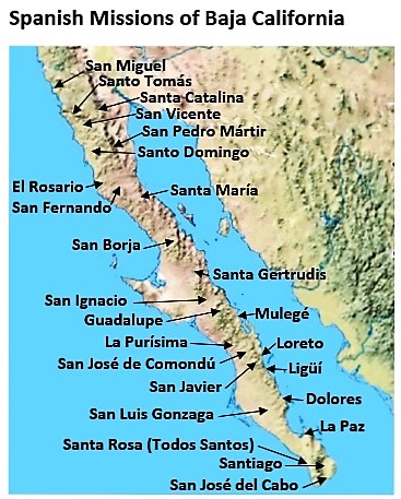
- All the missions, quick look and history, north to south: https://vivabaja.com/mission-site-photos/