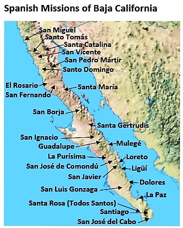
Full name: Santo Domingo
Founding date: August 30, 1775 (relocated 2.5 miles east in 1798) Mission #20
Catholic Order: Dominican
Founded by: Padre Miguel Hidalgo, Padre Manuel Garcia
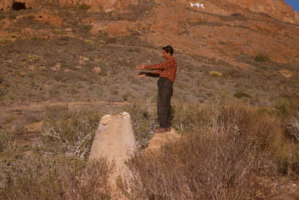
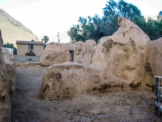
Condition: Adobe ruins at second site.
Closing date: Closed in 1822
GPS: 30.770889, -115.937222
Access: Mex. #1, Km. 169, south of Ensenada, 5 miles east.
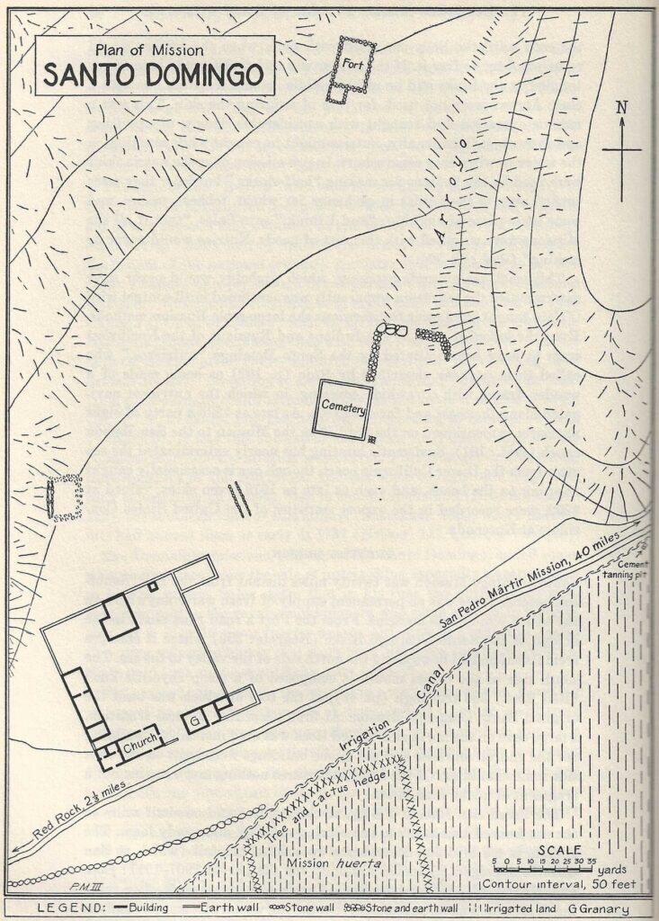
The second Dominican California mission was named Santo Domingo and located at the mouth of a long valley, a few miles from the ocean. A red-colored cliff was next to the new mission and the first services were held on August 30, 1775, in a cave in the cliff. In 1798, the mission was relocated 2.5 miles inland from the red cliff.
>> To see where this mission is, maps and directions at bottom of page <<

2025


2017


2014


2005


2003 (Jack Sword photo)

1954 (Howard Gulick photo)

1926 (Peveril Meigs photo)

1894 (photo provided by David Marrón and Ensenada’s history museum)
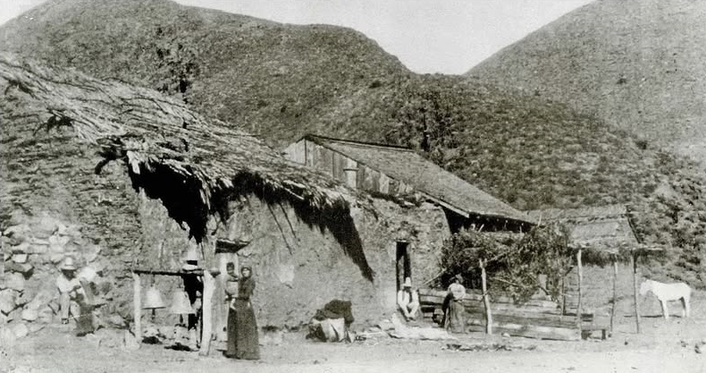
1886 (photo provided by Robert Jackson)


- GPS: 30.770889, -115.937222
- Directions: Highway 1( just north of Vicente Guerrero) at Km. 169+, go east 4.6 miles.
- Mission Rosario de Arriba in photos: https://vivabaja.com/rosario-de-arriba/
- Mission Rosario de Abajo in photos: https://vivabaja.com/rosario-de-abajo
- Mission San Fernando in photos: https://vivabaja.com/san-fernando/
- Mission Santa María in photos: https://vivabaja.com/santa-maria/
- Mission San Borja in photos: https://vivabaja.com/san-borja/
- Mission Santa Gertrudis in photos: https://vivabaja.com/santa-gertrudis/
- All the missions, quick look and history, north to south: https://vivabaja.com/mission-site-photos/
- VivaBaja.com MISSIONS SECTION: https://vivabaja.com/missions1
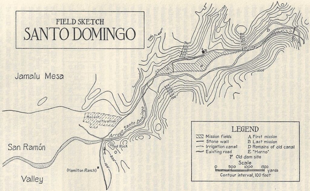
Site Plans from Peveril Meigs mid-1920s