DAY 11 (THU. AUG. 11, 2017)
BajaLinda makes sure I don’t leave hungry and makes a delicious breakfast (again)… these Baja trips are brutal! Thank you, Linda!
Their guest room has a few books, and now one more in case the history of the Spanish occupation of Baja California is of interest to guests?
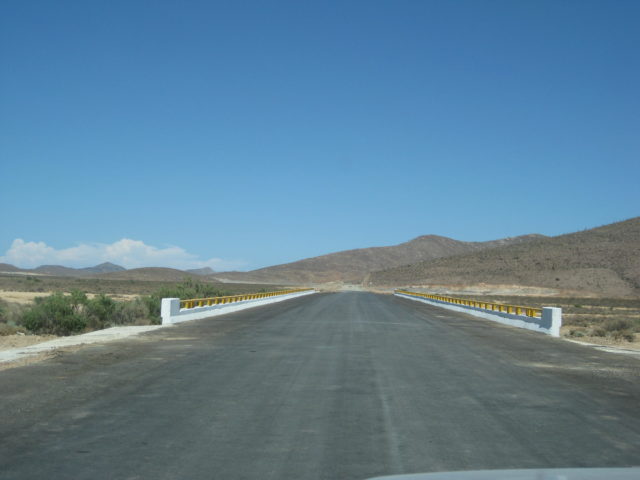
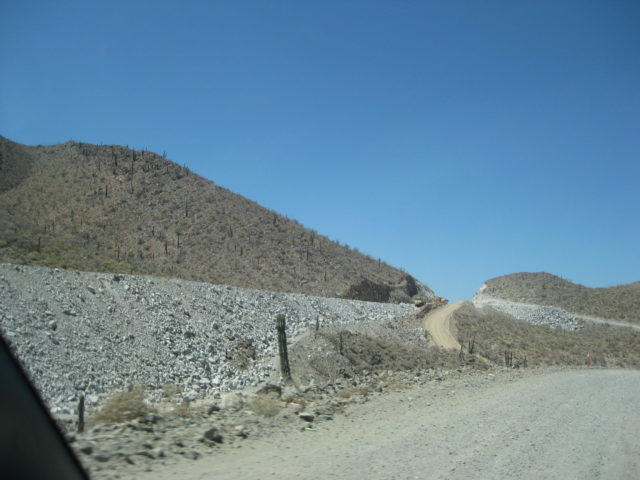
Their gate out on the north/south road is 1.3 miles from the homes. The short road to Hwy. 1 for northbound traffic turns south from their gate but soon bends eastward.
MILEAGE from Gate for Playas Pacificas:
0.2 & 0.4 Two roads turn south that continue down to Punta Marquez
3.6 Road comes in from the northwest.
4.0 Road south to Reforma Dos and Ejido Conquista (2.3 miles to paved road from La Paz)
4.2 Another road from Conquista
5.5 Fork, a road heads north. Continue ahead, eastward.
9.0 Junction with power line road coming from Conquista. Sign on the ground.
14.0 Highway 1, ~Km. 55.5 from La Paz.
There is widening on Hwy. 1, some kilometer markers have not been replaced.
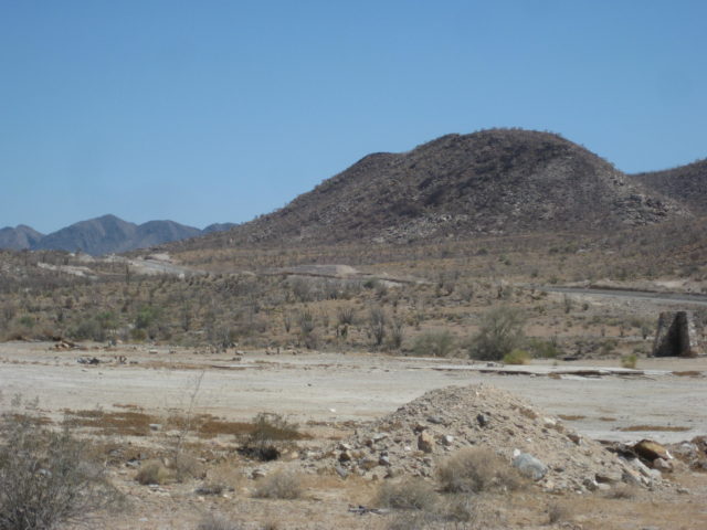
Km. 110.5 Road west to Santa Fe.
Km. 112+ Los Pocitas, a road (a divided boulevard leaving Highway 1) to the north (northeast) goes approx. 42 miles to La Soledad and beyond to San Evaristo, etc. A gift shop here is of interest selling local crafts and antiques.
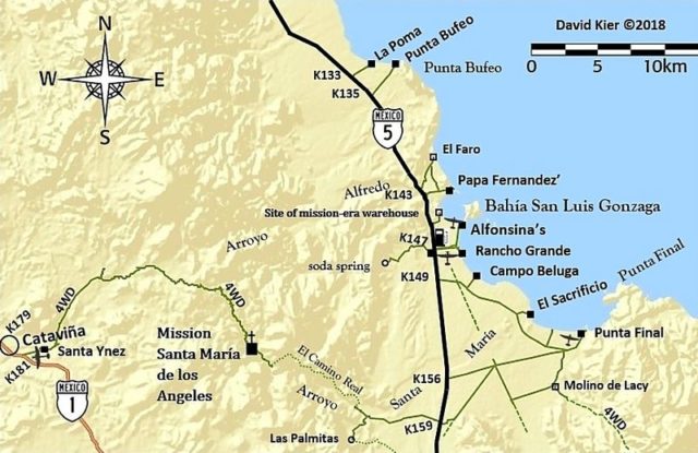
Km. 127.5 Unsigned junction with the road north to Mission San Luis Gonzaga (approx. 30 mi) or La Presa/ La Pasión region (approx. 40 mi).
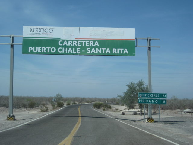
Km. 157 Santa Rita. Paved road west to Puerto Chale.
Km. 173 Road west to Puerto Cancún.
Km. 195 Road east to Mission San Luis Gonzaga, 22.3 mi / 1 hour.
Km. 206 Motel and RV Park, west side of highway.
Km. 208 Enter Ciudad Constitución.
Km. 210.5 Pemex (one of many)
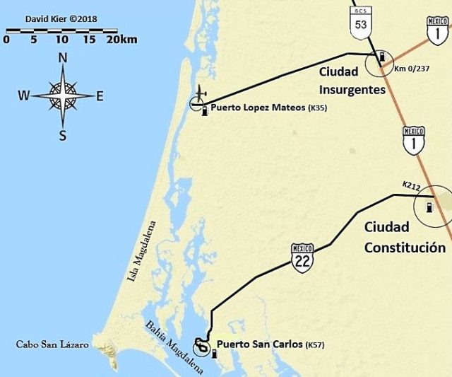
Km. 211.5 Hwy. 22 to Puerto San Carlos Junction.
Ok, a break from the road log…
So I pull into the Pemex, over on the left of the street. Get my tank filled (all women attendants, not bad, just rare). 15.73 pesos/liter, 50.9 liters in for the 205 miles traveled, 801 pesos. They try to sell me gas additive a couple times. I tell them that Pemex is good gas and the Toyota doesn’t need the additives.
I go to start the Tacoma to leave.. and the battery is dead.
2,000 miles of crazy places I have stopped and started and the truck is smart enough to not start in a city, at a gas station, and a block from an Auto Zone store! The ladies had some kind of gizmo to jump the battery, but it doesn’t work. I ask if one of them can come over and let me jump the batteries, she consents (gets a tip)… and a zip down the street to the bright Auto Zone store, on the right side of the street (northbound).
I leave my truck running and go inside… and am very impressed! I would say it looked exactly like any big Auto Zone in the U.S.
I ask one guy if they check batteries and they do. The device even printed out a reading with the word REPLACE (in Spanish)! The new battery included the install and what was nice, he plugged in something to my truck brain so none of my radio settings would be lost from removing the battery. My Barreries + store didn’t even do that (5 years ago).
Fortunately, I could use my debit card for the battery as I was running out of pesos… and had to use my stash of dollars for the last couple fuel ups going home. They had the Good and the Better battery naturally. (4 year or 5 year). The cost was approx. $98 or $78, so I went with the $78 one. It was smaller than what was in there, but it is still working for me, 2 weeks and 2,000 miles later! [That same battery is still working in February 2022!!]
What a relief… but this was a stress factor indeed. Now I needed to worry if this battery will start my truck in remote places. The extra time today for this cut into my schedule and not wishing to be at the bottom of the Agua Verde grade and not be able to drive back up the same day, I opted to only drive to the view point and leave my truck running!
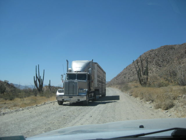
Constitución to Insurgentes is a four lane wide highway and Highway 1 swings to the east at Insurgentes (Km. 0 here, too).
Km. 1 Pemex station
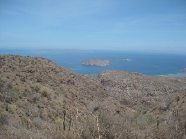
Km. 63.5 Paved junction for San Cosme and Puerto Agua Verde. A restaurant ‘El Parguito’ is at the junction.
Taking the paved road south for Agua Verde, the pavement ends at Km. 10 (6.2 mi).
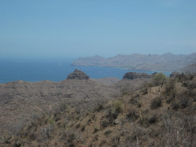
Km. 17+ (10.5 mi) is the view to the sea way below. Photos and then turn around.
Back on Hwy. 1, soon begin the long grade down to the coast.
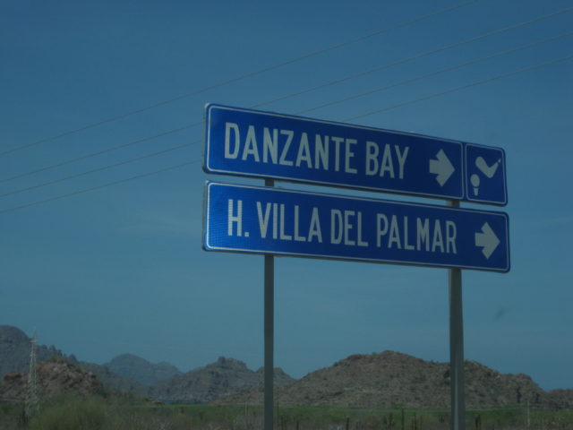
Km. 83 Villa del Palmar/ Danzante Resort (on Ensenada Blanca).
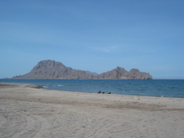
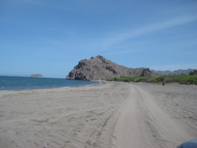
Km. 84+ Ligüí. Road to beach passes site of California’s 3rd Spanish mission (1705-1721). Ruins washed away between 1973-2002 as flash floods widened the arroyo. Even a new monument/ cross erected before 2009 has since been washed away. The beach is 0.9 mi from the highway. The mission was at 0.5 mi.

Km. 113.5 Highway becomes 4 lanes as it nears Loreto.
Km. 116+ Loreto Airport road, east.
Km. 117+ San Javier road, east.
Km. 119/Km. 0 Main Entrance to Loreto.


AGUA VERDE VIEWPOINT:


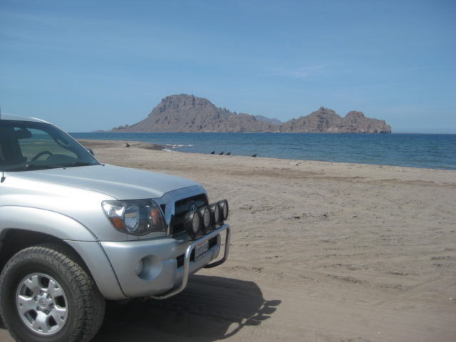
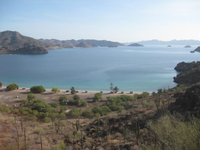
I passed by Loreto and headed for Bahía Concepción for a nice camp for the afternoon and evening…

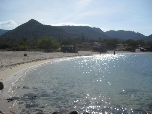
My go-to spot is La Perla, as nearby El Requesón is generally full of campers, all year. La Perla is quiet and farther from the highway to reduce the trucker noise (oh, you can still hear Jake brakes, but it is tolerable).
La Perla is easiest reached by going in the paved El Requeson access off the highway at Km. 92 (turns to dirt soon) and at the coast, go south. There is a back entrance to La Perla. It is at Km. 90.5+ and reached the original Transpeninsular road to La Paz, upon which you turn north. 0.4 mile for the full distance to camp from the highway.
There is one large family at the opposite end. I hope to sleep under the stars, but when the sun got low, I spotted one mosquito so the Coleman Instant tent was up, in a flash! The big family left before dark and the place was super quiet all night!
It was a restful night. I had a campfire and took one last swim in the bay. I only wish my wife could be with me here… She and I have had fun and wild camps here at La Perla. Last time (2015) a thunderstorm hit us after our tent was up and filled with our sleeping gear. The rain eventually came in sideways as the wind shifted. Waterfalls of water were pouring off the mountain top to the west… By dark, the rain and wind were gone, but our tent and bedding were soaked! We laugh at that time, indeed!
Coming up next, Day 12… photos of my camp in the morning and north to Mulegé then west to EX-MISION de GUADALUPE! A great OFF ROAD day trip… and ROUGH, but rewarding!!!
DAY 12 (SAT. Aug. 12, 2017)
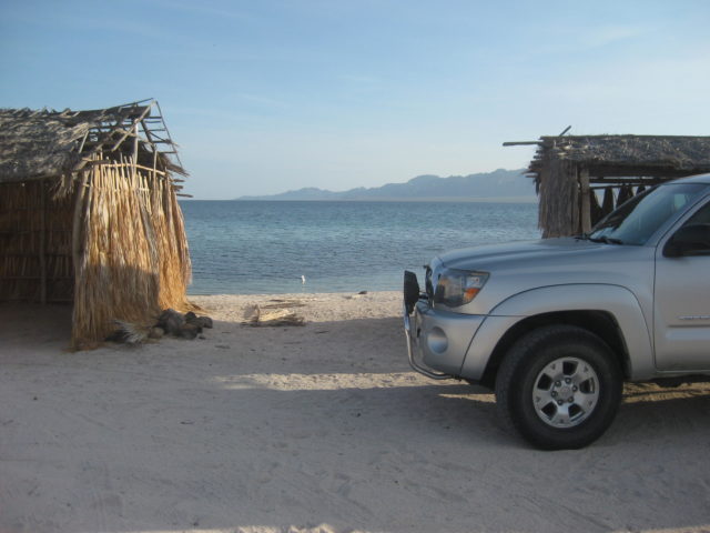
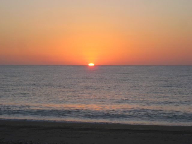
Good Morning from Bahía Concepción!
Today, my goal was to make the trip into the mountains west of Mulegé. I had never been in there and the 1720-1795 mission of Guadalupe de Huasinapí was always an interesting story… well, to be honest, every one of the 27 missions in Baja has an interesting story!
Here is my camp location at La Perla on Saturday morning…


At the south side of Mulegé, I top the gas tank off…
16.28 pesos/ liter
30.7 liters
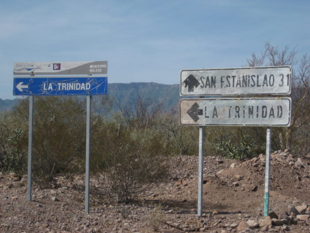
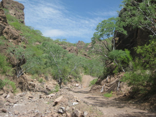
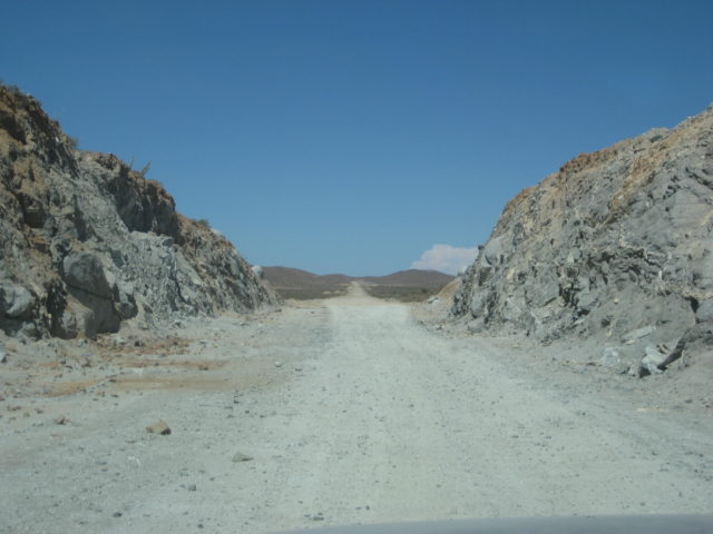
Just beyond the entrance to Mulegé is a concrete street going west, Km. 135.5. This is the road to take for La Trinidad cave art, the rough road across to the Pacific near San Juanico, and the rough road north from it to the mission site of Guadalupe:
ROAD LOG:
Total / Partial Miles
0.0 0.0 Hwy. 1 Mulegé, Km. 135.5 (Ice Road) Concrete street going west.
1.1 / 1.1 End pavement
2.4 / 1.3 Construction equipment yard
2.7 / 0.3 Fork. Ahead is the original road, but rocky. Left (south) is alternate, rejoins in 3.2 miles.
5.1 / 2.4 Cattle Guard
6.0 / 0.9 Alternate road junction
8.3 / 2.3 Rancho Trinidad junction, south (small sign).
11.1 / 2.8 Rancho Trinidad junction, south (big signs).
24.6 / 13.5 Rancho El Aguajito
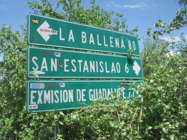
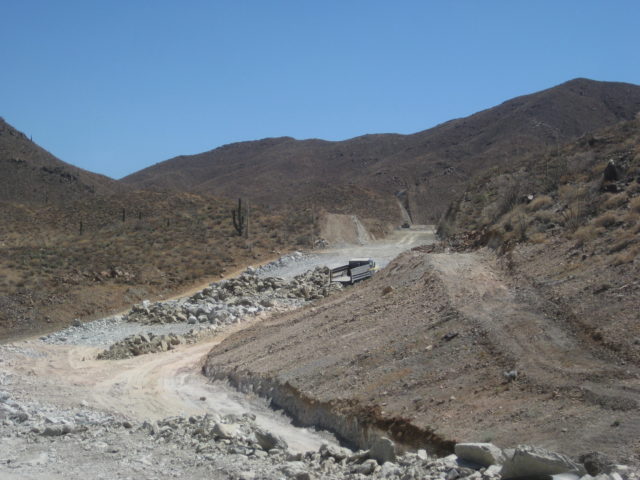
25.0 / 0.4 La Ballena Fork. Turn north for Guadalupe. Big signs.
25.8 / 0.8 Gate (always reclose behind you)
34.1 / 8.3 Fork. Go right. Left to ranch.
34.7 / 0.6 Gate.
36.9 / 2.2 Gate.
40.0 / 3.1 Road west.
40.1 / 0.1 Gate.
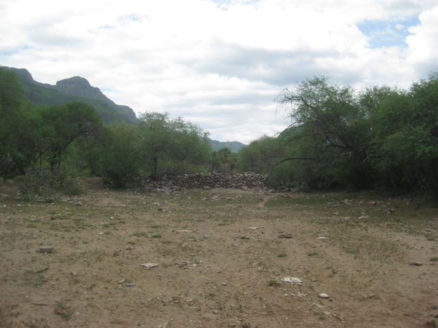
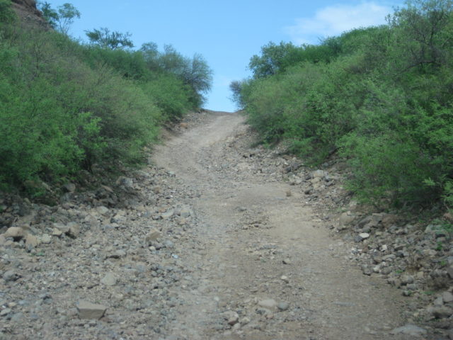
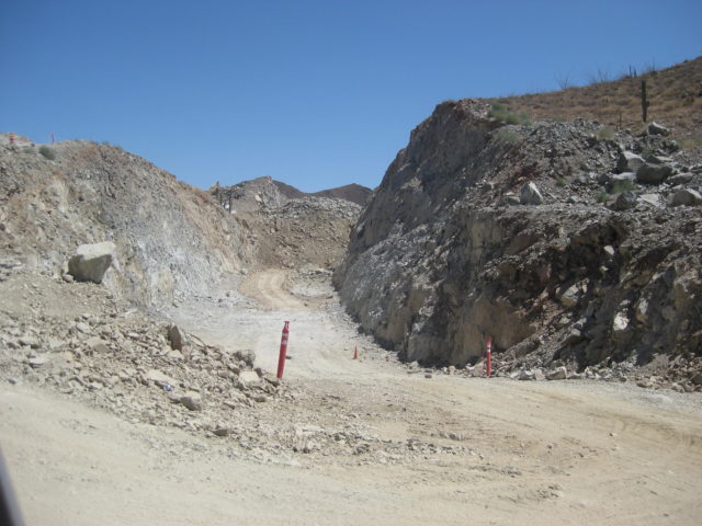
40.5 / 0.4 EX-MISION de GUADALUPE sign, turn left, cross arroyo, park near gate.


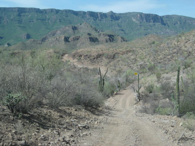


15.5 miles north of the La Ballena junction, you have almost arrived. The road ahead here goes 0.2 miles to the washed out road junction (that had gone to San José de Magdalena) and 0.1 more to Rancho La Presa. Turning left at the Ex-Misión sign goes across the arroyo to a wide area where a gate blocks driving closer to the mission. The gate is wired closed. [In late 2018, the road to San José de Magdalena was repaired and open, for about a year, before the next season’s flash floods destroyed the work. I was on the repaired road in May 2019.]
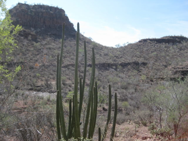
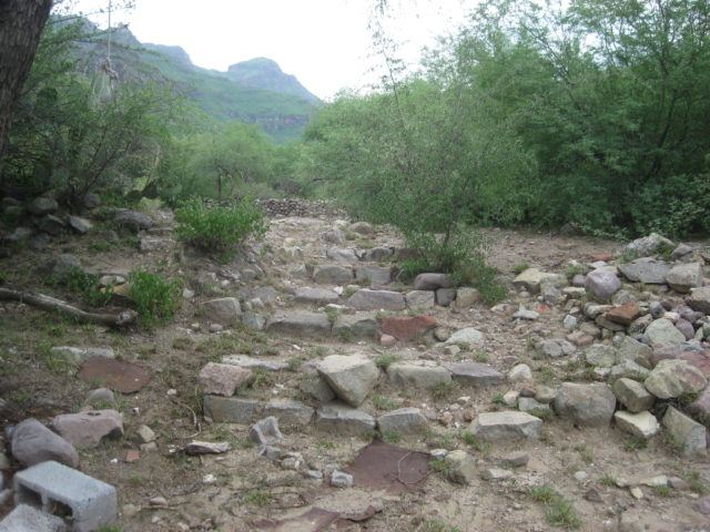
I parked my truck near the gate and walked down to the arroyo to follow it to the bottom of the mission complex. I returned to my truck on the road that the gate blocks, making a full circle.

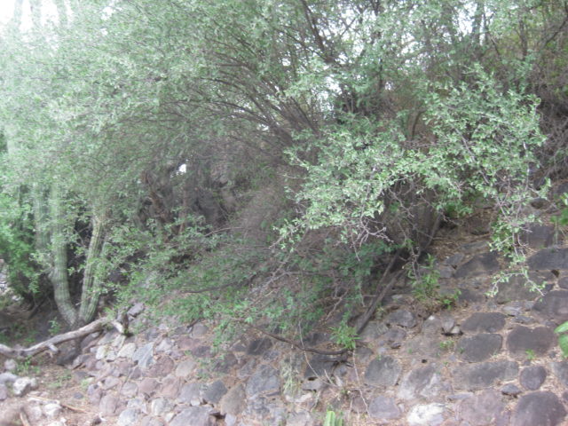
The site is heavily grown over as well as being surrounded by barbed wire. So, this is not for the casual mission seeker but more of something for the seriously motivated ones. The road in should be a good filter to screen out the less serious. Nomad friends were last here in January 2016. I was able to include one of their photos in my book that went to print in February. Other photos I had of the mission were from the 1990s and 1950.
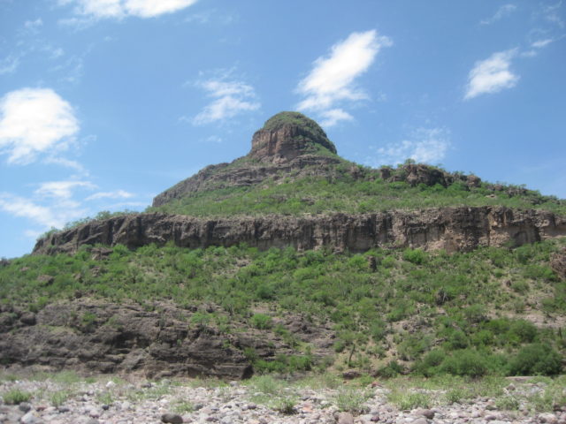
Walking up the arroyo from the road crossing, you discover how steep the slope is to your left (west) where the mission was established. Usually, missions are on flat areas. This was a terraced mission site.
Then, I came to see this…
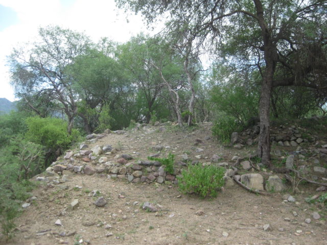
A 1744 report made by Padre Juan Antonio Balthasar said that Guadalupe had “the finest church in California.”
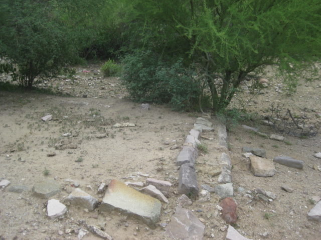
In November of 1744, heavy rains caused the collapse of the church’s adobe walls killing 100 Indian neophytes. A new stone and adobe mission church was built about 1750. These stone foundations are what we see today.
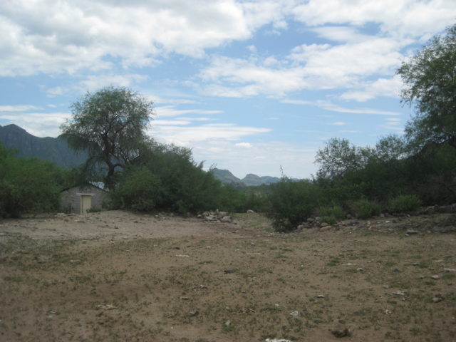
Looking south at the clearing and modern building that was possibly going to be a museum for the mission site. The road from the gate below ends here. I walk back to my truck from this clearing down that road. First, a little more looking around, a bit higher up the slope…

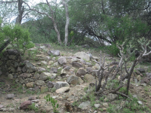
Bingo! This is the wall seen in Ed Vernon’s book: Las Misiones Antiguas, from a 1999 photo. Ed believed this was the west side of the church. If that is the case, I am standing inside the mission church here.
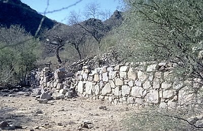
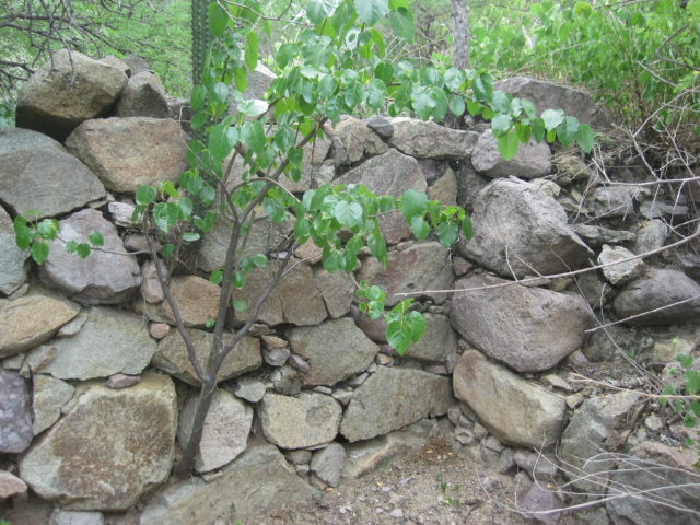
Rock walls formed the lower part of the church and adobe bricks added to the height. The roof was likely made of palm leaves over a wood frame. Some adobe was still standing in the 1990s.
Mission Guadalupe de Huasinapí operated here from 1720 to 1795. Enjoy my article on its story: https://www.bajabound.com/bajaadventures/bajatravel/mission_guadalupe

Heading back to Mulegé


A rugged day trip, allow 4 hours each way. How long you explore the mission is your call. I was only there for an hour, I think. It was a good hour, however!
I was back to Mulegé before 6:30 pm. I had been texting with Russ out on Punta Chivato, who invited me over for dinner. I just needed to pick up some tomatoes and an onion. There is great little store in Palo Verde, practically unmarked… and he had ice for sale, too. I was at Russ’s about 7:30. DONE DRIVING! (for today)
DAY 13 (Sun. Aug. 13, 2017)
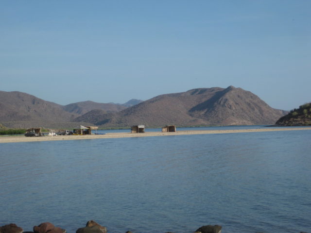
Russ and I had a nice visit. His home is in a perfect location on Shell Beach, a private home area next to Punta Chivato. His view faces south towards the entrance to Bahía Concepción.
Russ made us burritos and all was good.
I placed my cot out by his sea wall and had the stars above me. Tomorrow I would make the drive towards home so the final day would not be too stressful a day’s drive.
Sunday morning, I was on my way at 9:20.
Out to Hwy. 1 at Palo Verde and turning north…
The San Borjitas cave art access road is at Km. 156 [In May of 2019, I would get to see this cave]


Santa Rosalia is Km. 195 (from Loreto) and here becomes Km. 0, northbound to the state border at the Eagle Monument.
Pemex fill-up at the first station northbound, on the east side, closest to the harbor: 16.28 pesos/ liter; 930 pesos; 57.13 liters; Dollars were accepted at 16.00: 1. I was about out of pesos, so in dollars, it was $58.13 (I gave the attendant $60 and the change was his tip). I traveled 340 miles since the last fill up, mostly off road. In Mulegé, I added in 30.7 liters… So, 87.13 liters = 23.2 gallons for 340 miles = 14.6 MPG. With all the dirt roads driven yesterday and the Mulegé gas station well known to not have honest pumps, I am not disappointed in the figure.
Some overall mileage notes that I scribbled down:
Santa Rosalía to Vizcaino (Bahía Tortugas jcn.) 88 miles (143 kms.)
Santa Rosalía to Paralelo 28° (Eagle) 136 miles (220 kms.)
My mileages have all been adjusted for the 3.5% slow odometer because I am using oversized tires. When compared to the Mexican kilometer posts, this correction is spot on. On roads where I have deflated the tires down to 25 psi, the odometer slows down very close to accurate. My tires are 265/75-16, about 1″ taller than the stock 265/70-16 tires.
At the Eagle Monument Pemex (near Guerrero Negro), 28° Parallel of latitude and the state border, Pacific Time Zone…
I add gas at the Pemex station. Very nice personal there. A US$20 bought me 320 pesos of gas (16:00: 1). 15.88 pesos/liter. 20.1 liters.
12:54 PM became 11:54 AM!
19.6 miles north is Villa Jesus María (the final Pemex station on Hwy. 1 until El Rosario, or if using Hwy. 5, until Gonzaga Bay).
108.7 miles north is the Highway 5 junction (Laguna Chapala). It is 1:58 pm.
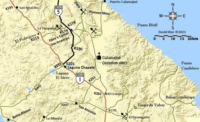
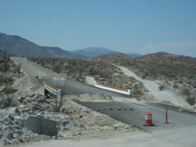
NEW ROADBED OPEN!
In the 2 weeks since I was last on this route, barriers blocking the new highway elevated roadbed (south of the original road) were removed and other cars were on it. During construction, these detours could very well change back.
Mile 0.0 Hwy. 1 & Hwy. 5 Junction, 1:58 pm.
Mile 0.9 Fork right onto new roadbed.
Mile 3.5 original and new roads rejoin.
Mile 5.2 off of new roadbed.
Mile 8.0 Construction camp, leave new road alignment and head for Coco’s Corner.
Mile 12.9 Coco’s Corner 2:36 pm
Mile 16.8 Las Arrastras 2:45 pm Rejoin new road route.
Mile 22.3 On pavement and new bridges.
Mile 23.2 Km. 167 (just north of previous pavement start.
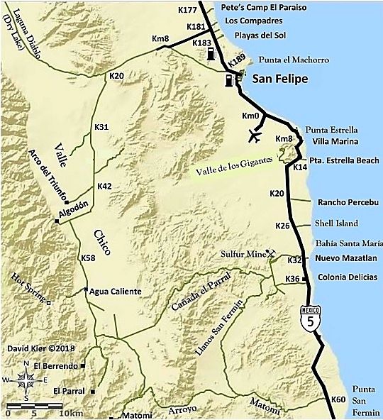
Mile 35.5 Gonzaga Bay Pemex, 3:12 pm


DAY 14 (Mon Aug. 14, 2017) The trip home:
I had a great evening under the stars.
Unless there is wind, Shell Island is an ideal beach camp and relaxing location. It is a 4WD only kind of place either for the deep sand on the beach or the possible mud beds that surround it. It is an island and during the highest lunar tides, sea water surrounds this barrier island beach. The access is at Km. 26 (another road cuts across from Km. 25). It is 1.3 miles to the mudflats and another 0.5 to the dry sand of the beach. The island is about one mile to the south end (Bahia Santa Maria bay) and three miles to the north point (opposite Rancho Percebu campground). Camp where ever you like or as much deep sand driving you can do.
In town, the car wash I have used most of the other times is open and can take me right away! Getting excess mud off the truck before going to the border can really make a crossing easy. I was once threatened to be turned back because of the mud and dirt on my truck!
Car wash (exterior only) was just $5. I always give a tip because I appreciate the job they do!
The gas station in San Felipe (at the ejido station, just north of town) was 15.91 pesos/ liter; offered an exchange rate of 17.60 pesos/ dollar and I was good for the 300-mile drive home to north San Diego County.
Just another awesome trip and fantastic service from my Tacoma. In the 3,000 miles, I had one tire puncture that we plugged and the 5+-year-old battery died on me, in the best place possible, a block from an Auto Zone store.
I took the Toll highway to Tecate (Mex. 2-D) which avoids the city of Mexicali. The toll was 75 pesos for Mexicali South; 24 pesos at La Rumorosa; and 70 pesos at El Hongo.
I was in the border line at 1:05 pm Monday and inside the USA at 2:09 pm. I got home at 3:57 pm.
SUCCESS!
Thank you to Baja Bound Insurance for sponsoring these mapping and research trips. I now have a lot of work to do to put these miles and notes into a road guide format. I look forward to sharing my work with you all and we can help each other with some feedback at what is most useful for you to have on your Baja travels.
Knowing that there are interesting and beautiful sites just out of sight may inspire you to see more of Baja than just going back to the same great place over and over? The future map is hopefully going to be useful as well. Stay tuned for TRIP #7: Pacific Coast & San Pedro Mártir
David www.vivabaja.com