DAY 8 (TUE. Aug 8): LA PAZ and north and east of La Paz
I took a look at the campground (RV Park) Campestre Maranatha, located behind the coffee shop Café Exquisito, at Km. 11 (between El Centenario and La Paz) on the right (south) side of the highway.
I had breakfast near the airport road along Hwy. 1 at a place called “Jalisco” and it was very good and just 90 pesos (=$5.19)+ tip. This is located by the Kilometer 10 marker, on the left (north) side of the highway.
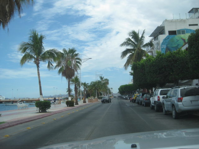
The airport road is at Km. 9 and the “Dove” is at Km. 8. Going south to Cabo, you would fork right at the Dove and again just ahead, another right onto the levee road. This time, I continue straight (left fork) which is now going north into downtown La Paz.
One thing that becomes obvious, particularly on the side streets, stop signs are just suggestions, more of a yield sign, maybe. If you do stop (when there is no cross-traffic) and cars are behind you, plan on being rear-ended! LOL, no, didn’t happen to me, but I sure can visualize it!
I top my gas tank in La Paz, having driven 325 miles since my last fill up. The price was 15.72 pesos/liter. The station offered an exchange of 16.50 pesos/dollar, but I had pesos purchased at 17.35/dollar. The truck took on 68.72 liters (18.15 gallons) meaning I got 17.9 MPG, which is great (mostly that this Pemex has honest liters). The cost was 1100 pesos plus a 20 peso tip for the attendant (nice personality and cleaned windows).
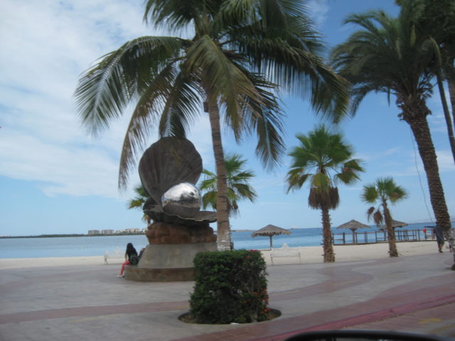
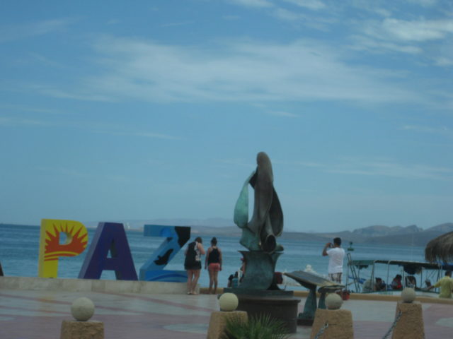
I drive along the Malecon (sea drive) and manage to take a few ‘out-the-window’ photos of the many interesting statues. I took many in 2012 when we were last here. There is a new one, an oyster with a big black pearl inside.
That hamburger and surf board rental place (Harker) that Harald and I ate at was 1.2 miles from the Dove
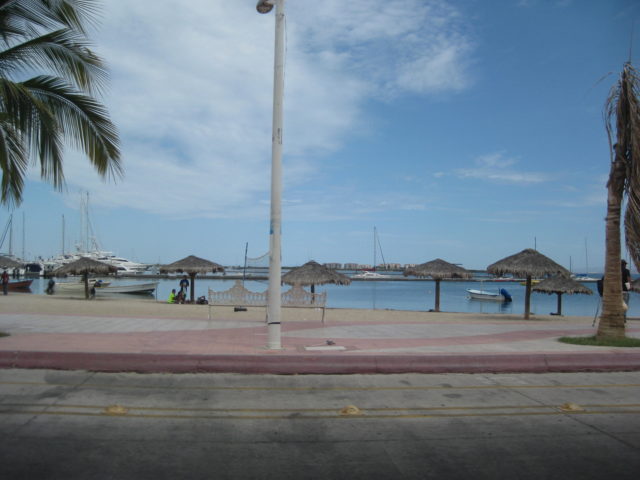
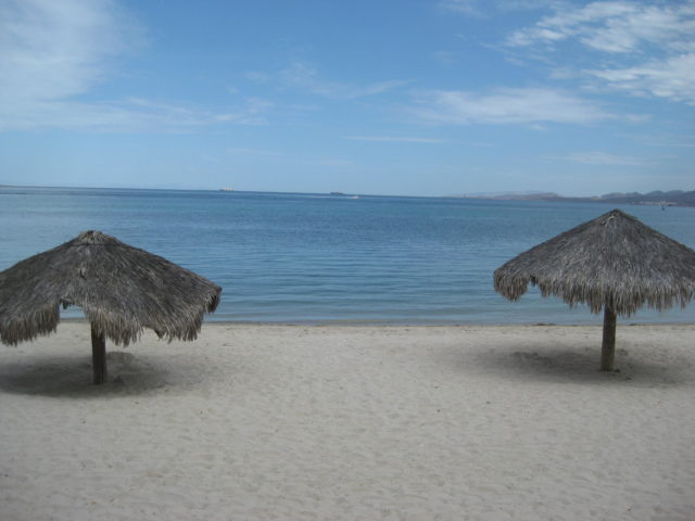
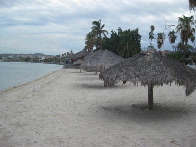
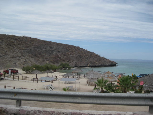
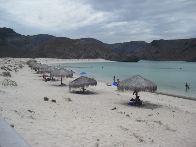
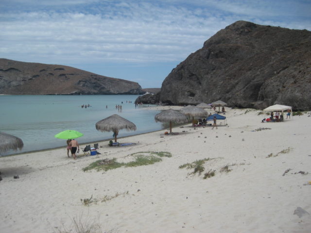
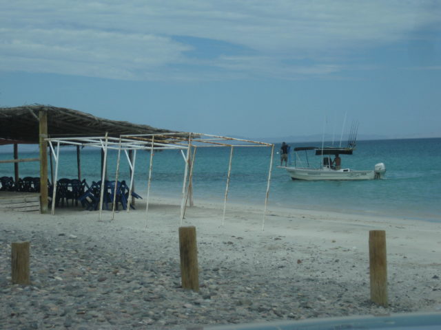
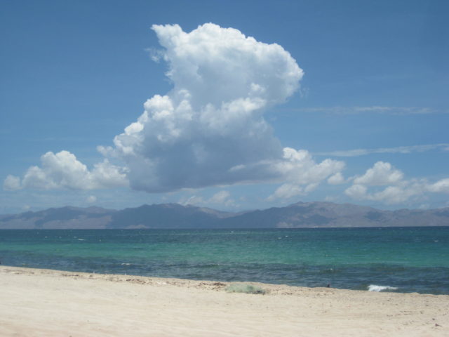
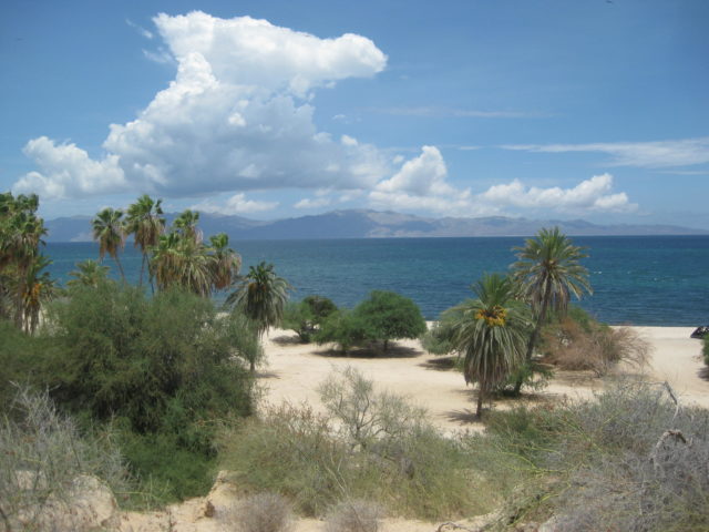
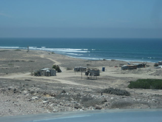
I do stop where I find a parking spot and walk across the street to the beach for a couple photos. Then, on north, past the ferry docks (transport across the gulf to the Mexican Mainland) and to both Balandra Beach and Tecolote Beach, very popular and already busy on this Tuesday morning.
The Dove to the La Paz Bypass road (to access the ferry landing for cargo trucks and others without going through La Paz city) is 5.8 miles. There are some kilometer markers and …
Km. 13 is Tesoro Beach at Mile 8.7 from the Dove.
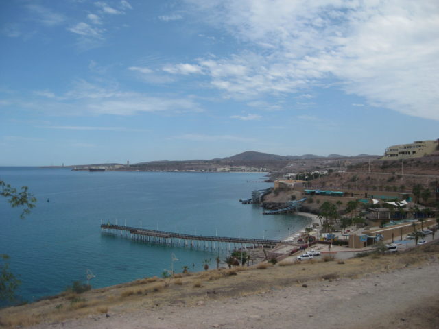
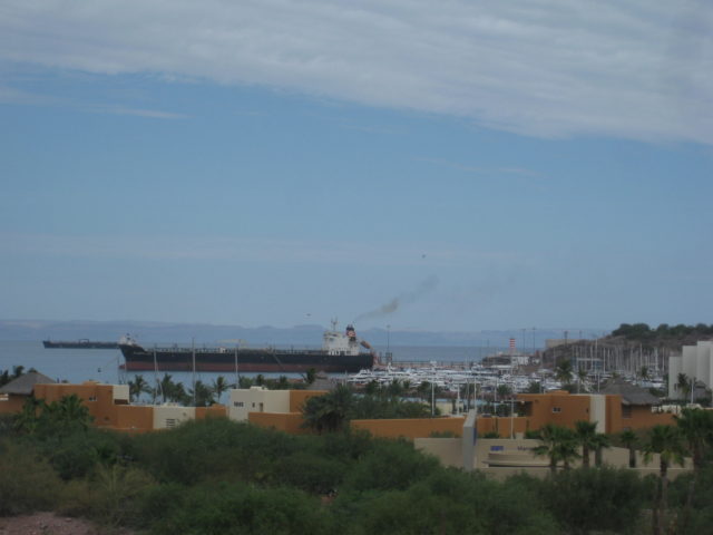
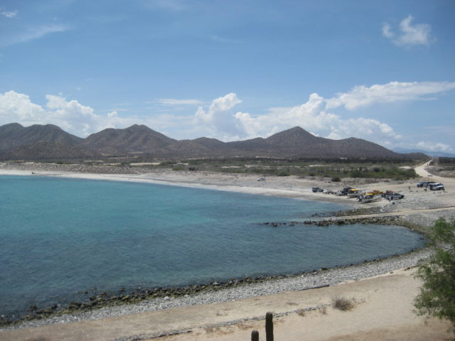
Km. 17 (11.4 miles from the Dove) is the Ferry Landing. Today two Baja Ferry ships were in port.
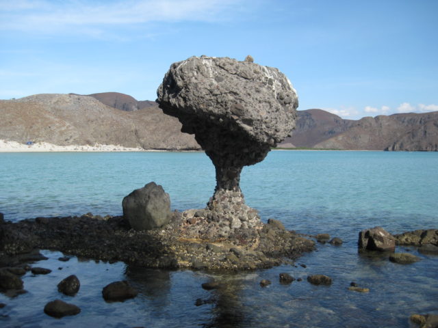
Km. 24 is the paved road left to parking for Balandra Beach. This is where the famous Mushroom Rock can be walked to. The beach parking lot was filling up when I got there.
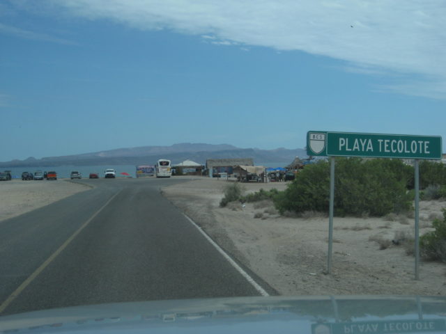
(=Km. 27) 1.8 miles north of the Balandra road is Tecolote Beach, a north facing beach across from Espíritu Santo Island.

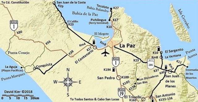
Some photos then turn back south and drive 9.2 miles (~15 kms.) to the Bypass route that goes around the east side of La Paz, avoiding downtown. These city bypass roads are called ‘Libramiento’ and most have them or someday will. Kilometer markers on the Libramiento begin on the north end…
Km. 6.5 is a big power plant.
Km. 17.5 is a Pemex station
Just south of the Pemex is the highway east to San Juan de los Planes and the coast.
A new set of kilometer markers is on this highway, and Kilometer 6 is 2.5 miles from the Libramiento road, which I will say is about Km. 4 for the San Juan de los Planes road.
13.1 miles from Libramiento (~Km. 21) is a dirt road south to Los Divisaderos and San Blas and goes on to Hwy. 1. Signed as an “Eco-Tourism” road.
Km. 37 Paved road north to La Ventana and El Sargento.
Back on the highway between La Paz and San Juan de los Planes…
Km. 37 El Sargento/ La Ventana highway junction.
Km. 39.5+ Pemex station, San Juan de los Planes
Km. 40.5 Paved road north to San Antonio on Hwy. 1 (20 kms. on sign, I measured it at 13.3 miles, as I returned to La Paz this way).
The road ahead passes through the town of San Juan de los Planes. Km. 0 in town.
Km. 3 Highway eastbound makes a 90° left (north) turn. A dirt road that continues east here is the road down to Los Barriles along the coast, called Boca del Alamo, ~30 miles.
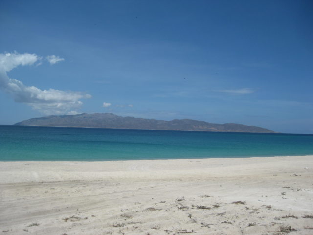
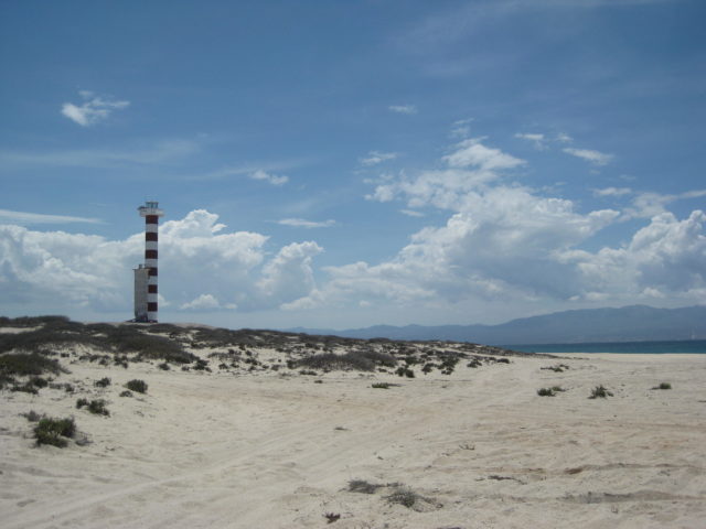
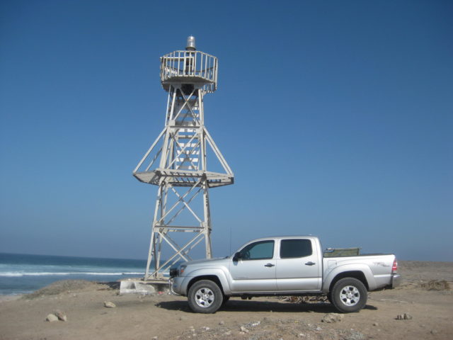
Km. 11.5 Dirt road to left goes to Punta Arena, 3.7 miles. A beautiful sand beach with a lighthouse.
=Km. 13 (0.9 mi from Punta Arena road) End of Pavement.
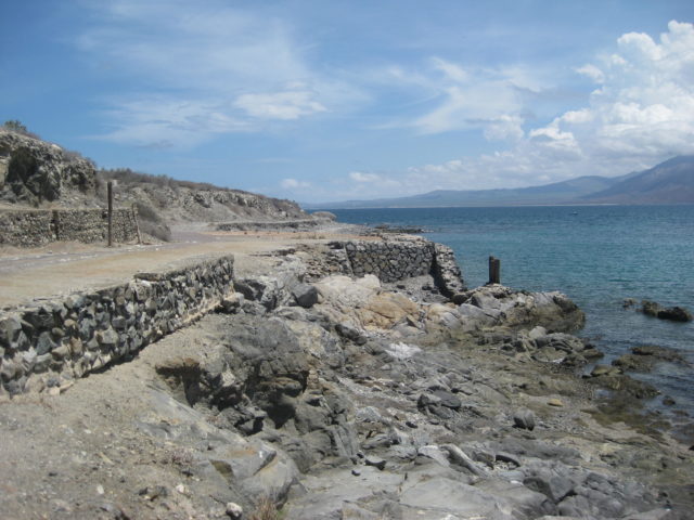
=Km. 14.5 (1.8 mi from Punta Arena road) Ensenada de los Muertos, boat launch.
Just beyond is a restaurant next to the silver ore docks built in the 1920s by the Boleo company.
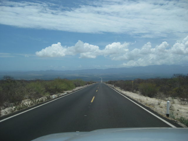
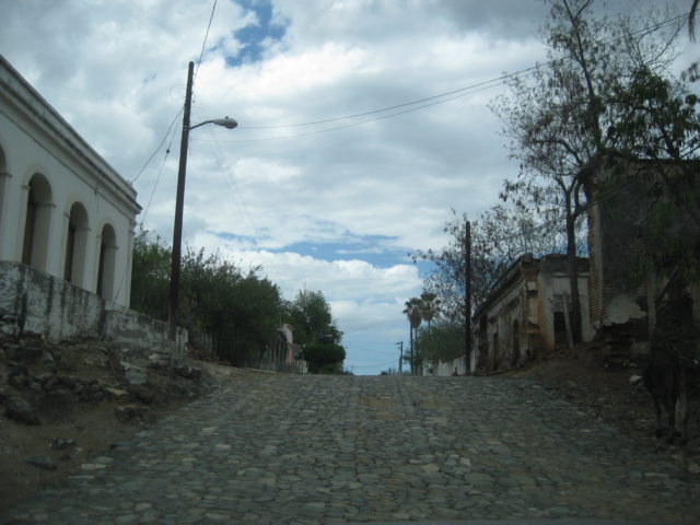
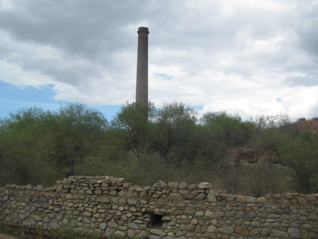
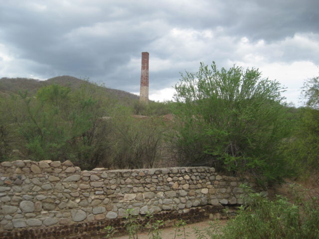
Returning to La Paz, I take the highway north to San Antonio then Highway 1 to La Paz. It is raining a bit as I drive around El Triunfo.
People were selling pitayas (pitahayas) along the street and I bought a bag to take back to Harald’s house for us to enjoy. 50 pesos for a couple dozen, golf ball size or bigger, reds and white flesh pitayas. Perhaps one of the finest fruits on earth… at least to the natives of Baja California!
The end of Day 8 and my last evening in the La Paz area. Thank you 4x4abc for your hospitality!
Tomorrow, I head north and west to the Pacific Coast at Punta Conejo then drive south on the Baja 1000 road to La Aguja and meet Rob and BajaLinda of Playas Pacificas.
DAY 9 Wed. Aug. 9, 2017:
I say my goodbyes to Harald and leave his little compound oasis.
Some road notes driving north from La Paz on Highway 1…
Km. 17 Junction with paved road to San Juan de la Costa and on to San Evaristo (the way I came to La Paz, a few days earlier).
Km. 21 Federal Police Checkpoint (not military). Waved through.
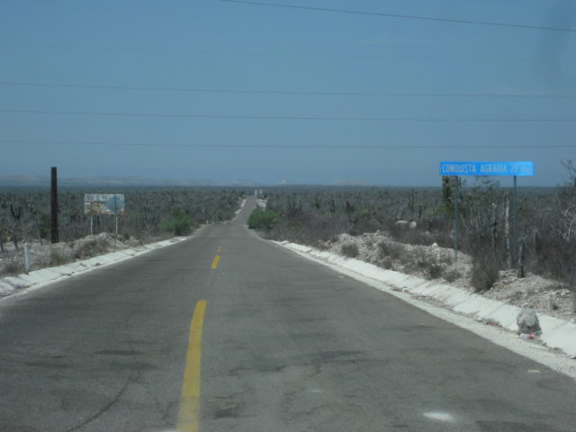
Km. 38+ Paved road west to Conquista Agraria, 28 kms. This is the fastest route to Playas Pacificas (La Aguja). However, I want to explore more, so I continue north.
Km. 55.5 Dirt road west to La Aguja, 14 miles. I will come out this way in 2 days.
Km. 76.5 San Agustin, large home/building on the left.
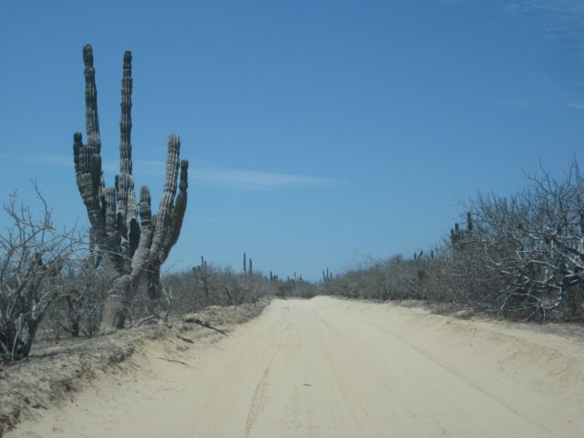
Km. 79.5 Punta Conejo road west. Dirt road, no typical government signs.
0.0 Highway 1
9.1 Fork, left for Punta Conejo and south.
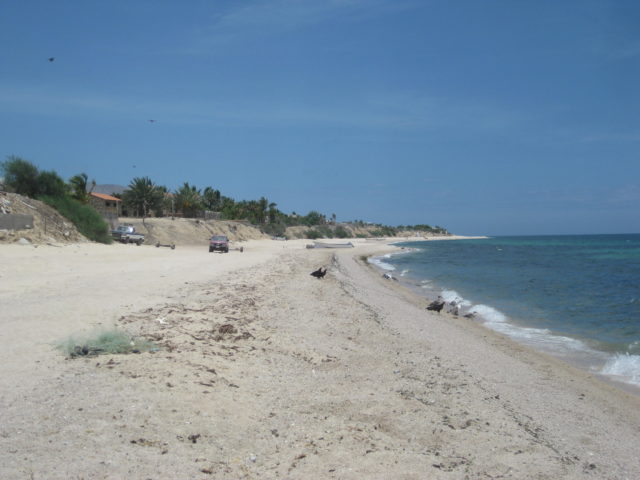
9.4 Fishing camp, Punta Conejo. I was last here in 1985 and not much has changed!
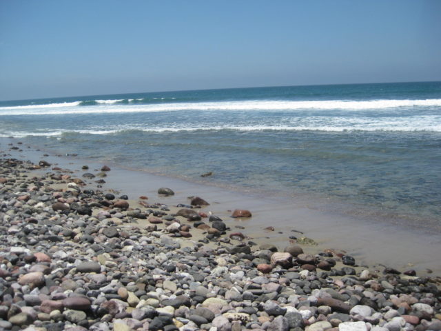
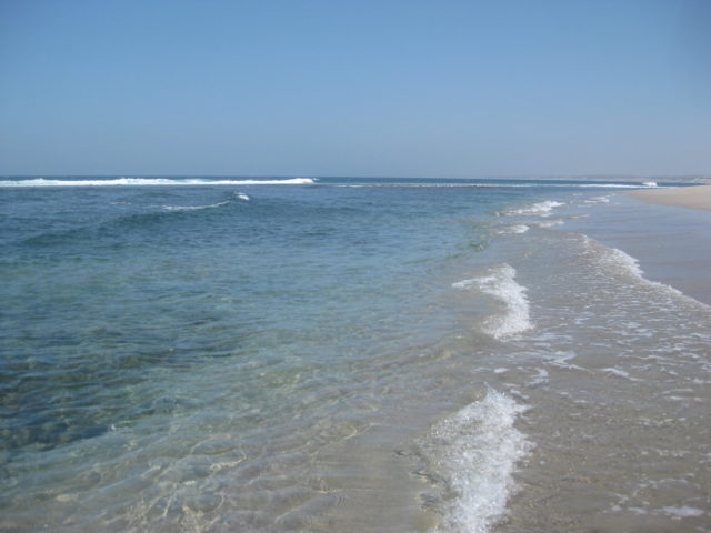
9.7 Punta Conejo Lighthouse, shoreline. The sea water is so clear!
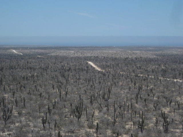
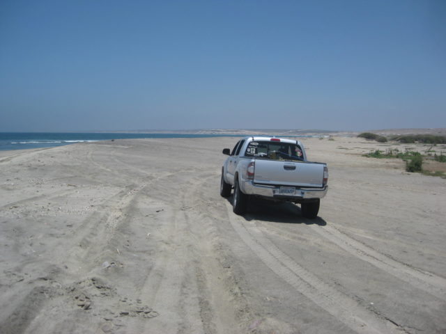
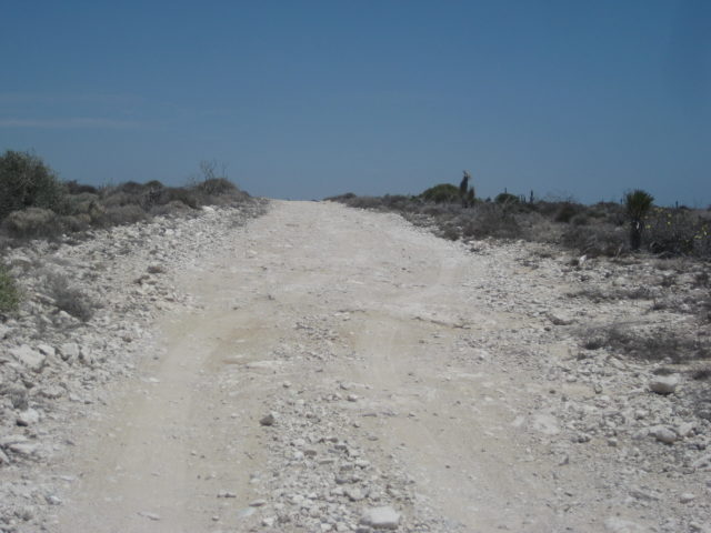
The road south is very rough on jagged rock face much of the distance south.
0.0 Punta Conejo Lighthouse
0.4 Ranch driveway
0.9 Beach access (0.1 to west)
2.3 Road to beach.
6.2 Abandoned ranch
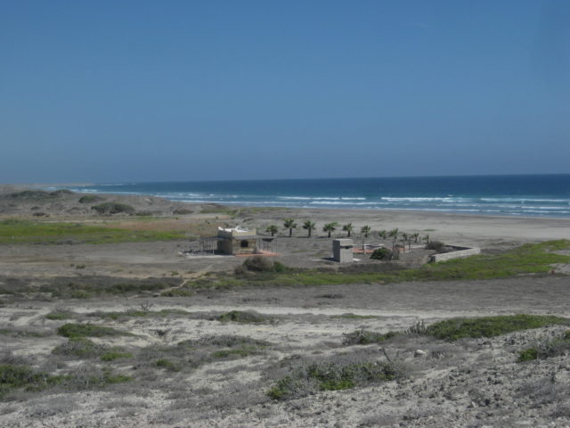
10.0 Playas Pacificas (La Aguja) entrance gate.
The next day, Rob shows me the road south and the farm villages nearby.
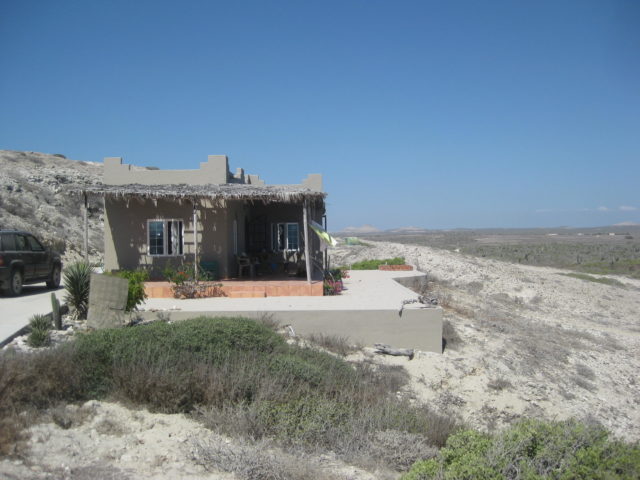
Rob and ‘BajaLinda’ have a commanding view of the huge beach and coast to the south. I am offered a place to relax and they treat me like royalty. MANY MANY THANKS! Linda is quite the gourmet cook, as well!
Mike Younghusband received a warm and helpful welcome when he and Don-Kay walked the length of Baja, a few years ago.

The next day, Rob gives me a tour of the property, and nearby towns.
DAY 10 (WED. AUG. 10, 2017)
Today, Rob wants to show me the project and nearby area.
After a delicious breakfast, we hop in the Tacoma and first drive up the hill above/ behind their home. Two homes are completed and occupied up there and one home is below, between the guest house I am in and Rob & Linda’s.
Other lots are outlined with painted rocks and there is a concrete road that goes up the hill. Lots have widespread views.
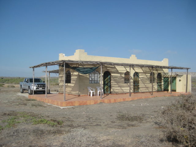
A small boutique style hotel (single level) is planned for the point in front. It would serve as a place for prospective homeowners to stay awhile and maybe for their visiting guests, too?
The land is secure, the water is secure, and the power is secure and a paved road is not far away at Conquista going to La Paz.
End of the tour… thank you, Rob!
Now, I have amazing quiet time to work on my trip notes, tomorrow’s plans, and take a walk and swim on the incredible beach out front!
The place begs you not to leave…
But, I have work to do… this is a job for me, after all! The Baja Bound Road Guide and Map still have some interesting roads to include!
Continues on next page…