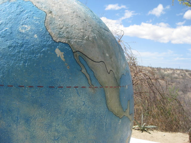
I get to Harald’s La Paz area home where I have been invited to stay. Karl (‘Fernweh’) is there as well. Harald (‘4x4abc’) has been living in La Paz for many years and Karl is a more recent arrival. Both are from Germany but have lived many years in the United States before moving to Mexico. Harald is an author of books on using and driving 4x4s. He maintains many great information pages at www.4x4abc
I am offered his guest room and it was great, AC, WiFi, and a swimming pool! As many on Baja Nomad know, Harald had a terrible accident and broke his right leg, below the knee, about 6 weeks ago. It was so bad, the local doctors said it would need amputating! With help from friends and Nomad donations, a specialist was brought in from Mexico City, and hopefully, the leg will be fully functional. When I was there, he was very mobile but wheelchair bound only. Not much more I could do but help with the pool and other small things. Harald had everything well under control. [By 2022, Harald is getting around and enojying four-wheeling, again]
That evening, Karl took us to dinner in La Paz and a very nice fresh seafood place. The name is a secret, I am told, so you will need to force it from him! LOL This time of year, restaurants are not busy!
Great sleep, had Wifi so I could talk with my wife and post onto Nomad or Tacoma World and Facebook, a little.
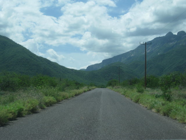
Tomorrow, the tire will get fixed. It got a sharp puncture before dropping off the mountain above San Evaristo. It was a slow leak, so I waited to La Paz, just in case what I did makes it worse. I simply added air every 20 miles or so.
DAY 5 MILES: 181, left camp at 8:38 am. I think I got to Harald’s about 7:00 pm.
Coming up next, Sunday Day 6… LA PAZ and a needed rest!
DAY 6 (SUN. Aug. 6)
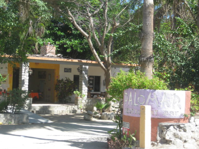
Harald’s home has the outdoors in focus as living outside is where life should be lived.
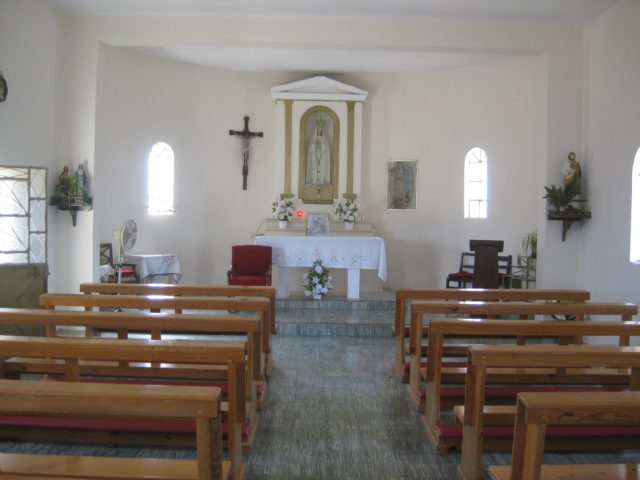
His kitchen and living room are outside, the guest room is next door, and his mission chapel meditation room is attached. All his building ideas were gleaned from a Spanish/ Moorish villa photographs he saw in a magazine.
The project is new, but fortunately, plants grow quickly in the tropics. Plants chosen were gathered out on Harald’s 4X4 trips and he has a lot of room for expansion.
Monday’s only project was plugging my tire’s newly acquired needle-hole. Harald could get out to examine it and make sure the plug went in at the correct angle. It worked and held air for the next 10 days, and 2,000 miles!
Now, I could visit with Harald and do any assistance while he is wheelchair bound. The only request was for me to use the swimming pool and clean the steps, not reachable by the auto pool sweeper. Easy for me, and until the wind blows more, that pool was clean!
You know you are in the tropics when coconuts grow on trees… by the pool at Harald’s.
As the sun dropped, I took Harald to the Malecon and we found a cool outdoor burger joint (that also doubled as a surfboard rental shop… Harker’s: https://www.tripadvisor.com/Restaur…r_Board_Restaurant-La_Paz_Baja_California.htm
I had the bacon cheese burger with fries and Harald had the sliders… and cold Pacificos. We watched the people walking, cruising, and the sun setting. The La Paz Malecon is a great experience for casual dining outdoors.
Day 6 was a success… the work was done, and I was relaxed!
Day 7 would be a BUSY day collection data, photos, and meeting an old friend, for the first time, Osprey (‘Jorge’) on Baja Nomad and other writing projects.
DAY 7 (MON. AUG 7) To Todos Santos
I was up and on the road at 8:08 and stopped at the Oxxo (they are everywhere) for a bag of ice, 21 pesos.
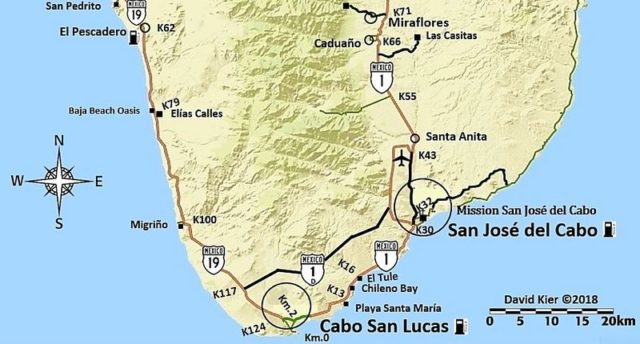
Made notes of Hwy. 1, La Paz entrance kilometer markers:
Km. 11 Campestre Maranatha Campground/ Café Exquisito, on right.

Km. 10 Breakfast place on left ‘Jalisco’
Km. 9 Airport Road
Km. 8 Dove or Whale Tale Monument (La Paz Malecon left, Cabo San Lucas right).

You fork right at the Dove/Whale Tale and right again by the WalMart onto a levee road to cross over to the Todos Santos/Cabo San Lucas highway.
There does not seem to be any kilometer markers for almost 7 miles southbound on Hwy. 1, and then there it is, Km. 200 (from Cabo via Los Barriles).
Pass through the farm center of San Pedro around Km. 189
Km. 185: Fork, Left to Los Barriles and Los Cabos vis Hwy. 1 or right to Todos Santos and Cabo San Lucas (Mex. #19). Unlike the other kilometer markers, Hwy. 19’s numbers get bigger going south.
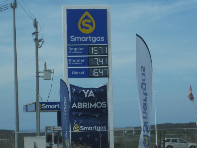
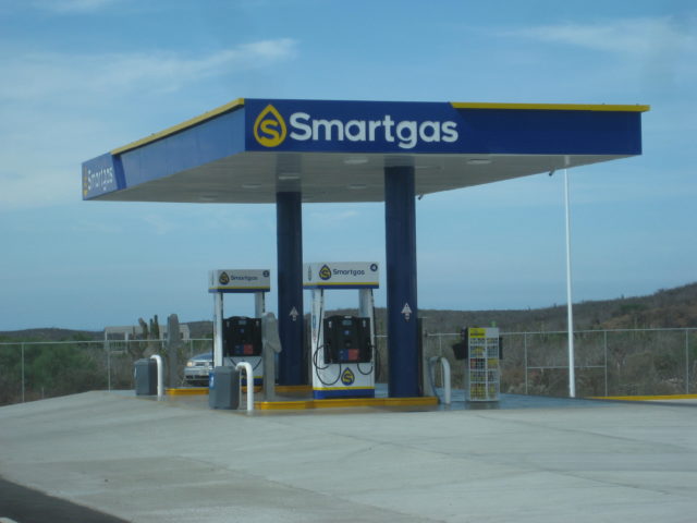
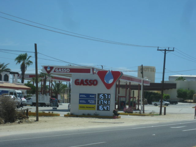
Km. 46 New non-Pemex gasoline dealer, SmartGas.
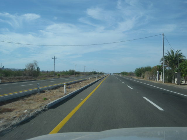
The bypass around Todos Santos is at Km. 47+. It is 4.6 miles long and totally stays out-of-sight of Todos Santos. I drove around twice to go through town on the first paved road then on the bypass to map and record it.
On the first paved road…
Km. 49 Pemex
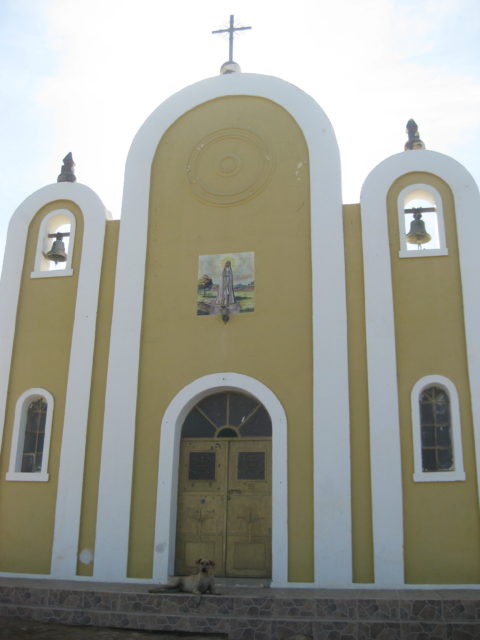
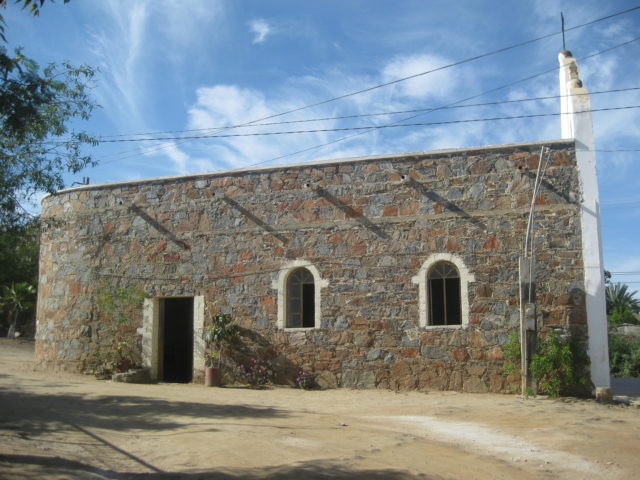
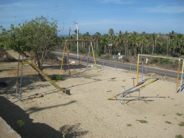
Km. 49.5 Playground and church on the left (east) side.
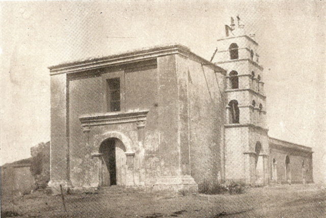
The playground was the location of the first Todos Santos Mission, founded in 1733 with the name Santa Rosa de las Palmas, it was California’s 13th mission. Bad luck followed when the Pericú Revolution began the following year. Padre Taraval was saved, but his Jesuit brothers at Santiago and San José del Cabo were murdered and their mission burned. La Paz mission was also attacked. The Jesuits and Spanish soldiers took over two years to regain control of the southern four missions.
In 1748, the mission on La Paz Bay was moved to Todos Santos and replaced Mission Santa Rosa there. 13 was an unlucky mission number!
Also, the mission at San José del Cabo was reduced to being a visita of Santiago (for the next 20 years). Four mission became two. It was a dramatic period that ended with the Jesuit expulsion in 1768.
See, when I drive in Baja, I think of all the years people struggled there, it meant that much to all of them! The mission here in Todos Santos was officially known as Nuestra Señora del Pilar de la Paz, but most documents written in the years that followed called the mission Todos Santos (the original visita name before a mission was here). No Native name was recorded for the location.
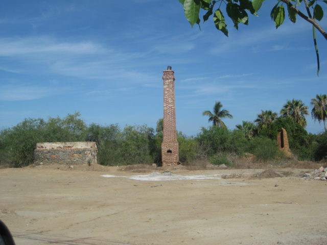
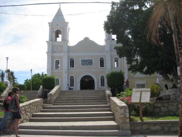
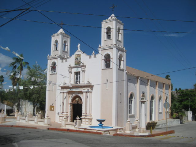
After I look through the 1970 church behind the playground, I try and find any signs of the 1733-1825 mission ruins (the mission moved again in 1825 to the church site in the town plaza, less than a mile south).
I do see some bricks and a survey pin of sorts, but no guarantees. 9:37 am.
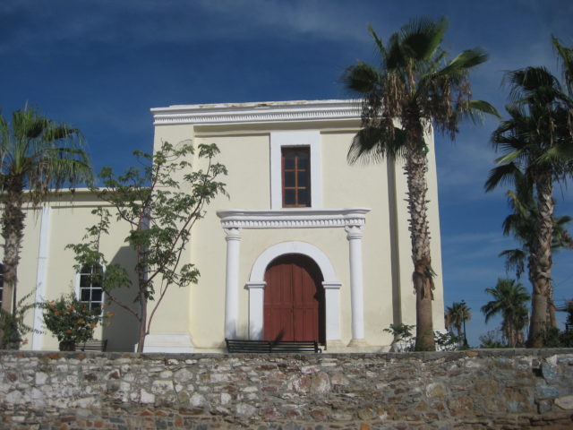
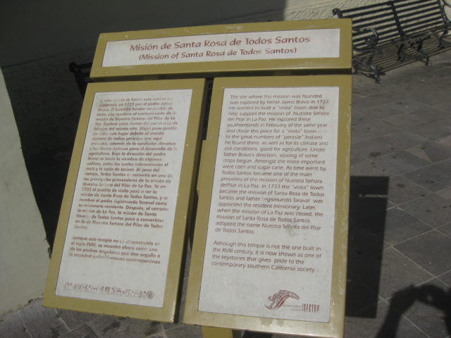
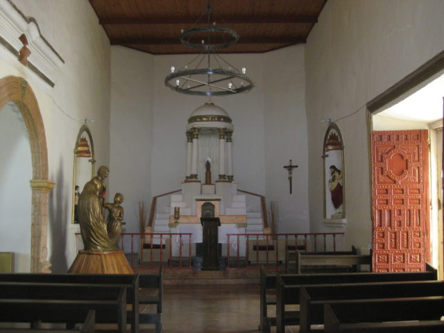
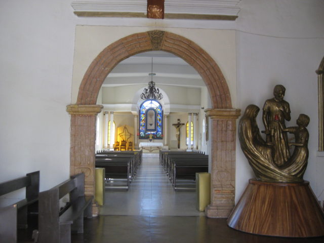
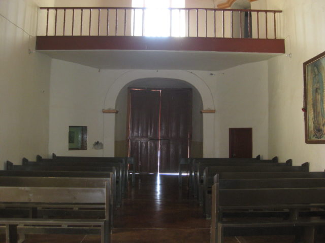
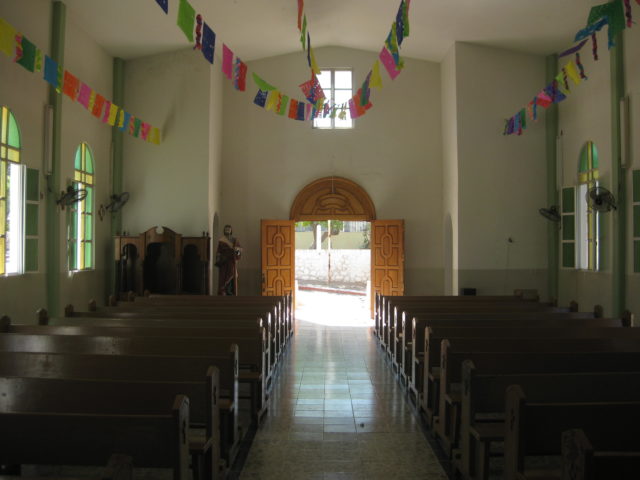
I arrive at the plaza and walk into the large church, modified since mission times with a new entry. Signs here do tell the mission story to enquiring minds.
As I head out of town I spot a car wash operation (man with a hose and bucket) next door to a breakfast café. Success, I am hungry and my truck is dirty (from El Datil salt flat oops). The restaurant is called La Valentina (110 pesos) and the car wash is El Cayito (90 pesos).
Todos Santos was very good to me this morning!
South to Los Cabos
After my breakfast and car wash, I continued south of the original highway to Cabo San Lucas.
Km. 56: South junction of bypass highway. I drive back north on it to measure and GPS track it, since it is too new to appear on our favorite maps (2010 AAA or 2009 Baja Almanac). I measure it at 4.6 miles long back to Km. 47+ on the original road. It is just 2 lanes and has separate kilometer markers. There was nothing I noted along the 7-kilometer bypass that simply avoids going through Todos Santos for those who are bound for places on south. The highway returns to 4-lanes-wide.
Km. 57+ Is an unmarked road off to the right (southwest) that goes to San Pedrito. See my Baja Bound article for more on this place (visited in 2012):
https://www.bajabound.com/bajaadventures/bajatravel/the_tropical_beach_at_san_pedrito.php
Km. 62 Pemex station El Pescadero
Km. 62.5+ Baja Beans R.V. Park
Km. 79 BajaBeachOasis.com on the sign. 0.3 mi to a big sand beach.
Km. 100 Puente El Migriño (bridge over big arroyo) and lots of off roader tracks in the dry river bed, below.
Km. 100.5 Road down to arroyo on south side of bridge, passes ATV rental business in 0.1 mi and arrives at the beach in 0.8 mi from the highway.
Km. 117 Los Cabos Bypass to go directly to San José del Cabo airport.
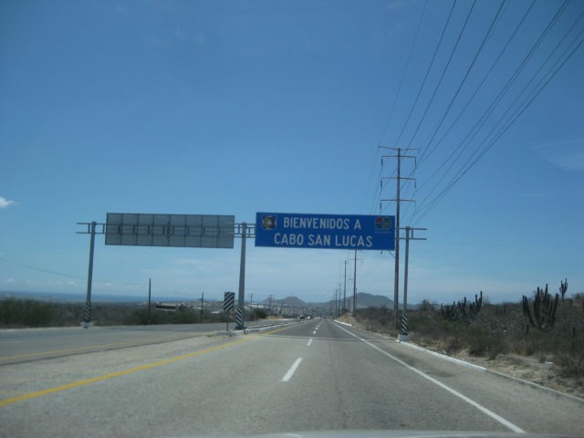
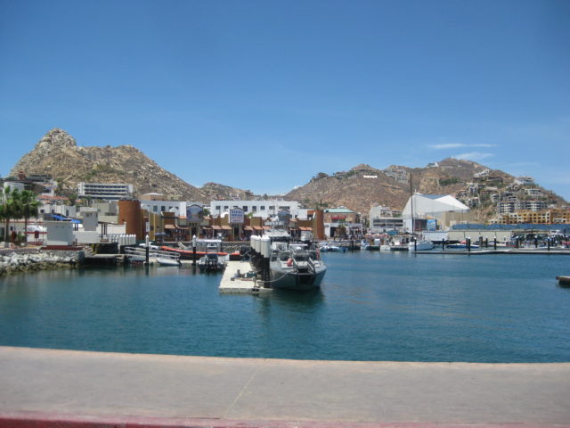
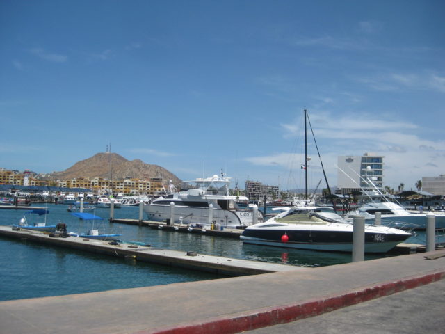
Km. 124 Enter Cabo San Lucas. It is a mess of traffic!
I drove to the abandoned fish cannery building where Km. 0 once was… the very south end of the Transpeninsular Highway. There was a ferry dock here that went to Puerto Vallarta for a few years.
Have enough? Can I go now? Thanks!
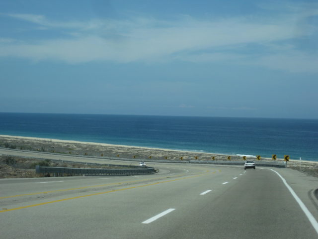
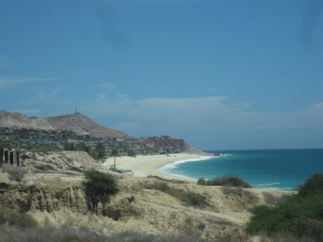
Km. 12.5 Playa Santa María
Km. 14.5 Chileno Bay Beach Parking
Km. 16 El Tule, open beach.
Km. 27.5+ View Parking.
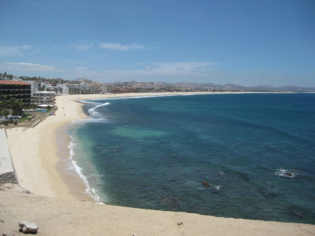
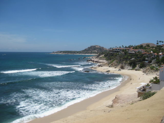
Km. 28 beach access
It is such heavy traffic and no pull offs before I realize I miss the south entrance to San José del Cabo and go to the downtown entrance. I first try to park near the mission site/ plaza… with only one narrow street going to it, and all other one-way streets going the wrong way, I abandon the thought of circling the city again. I did get in front of it in 2012:

Km. 39 North edge of San José del Cabo
North from Los Cabos
Km. 43 Airport Road, Pemex
Km. 46, Santa Anita
Km. 54.5 Naranjos Road
Km. 62.5 Paved road east to Las Casitas
Km. 65.5 Paved road west to Cadueño. Sideroad passes a water park (closed), goes through the little town, and pops back out to Highway 1 at Km. 66+.
Km. 71 Paved road west to Miraflores, 1.5 miles. A paved road goes north from town to the foot of the mountain, Boca de la Sierra. There a hiking trail and park is featured, 4.4 miles from Highway 1.
Km. 81.5 The Tropic of Cancer line. A museum/ rest area has been established here. On the first day of summer, the sun is directly overhead, at noon.
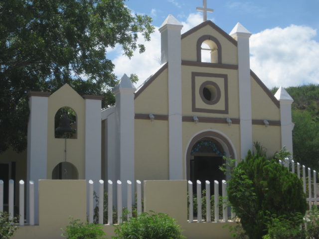


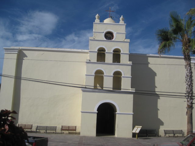
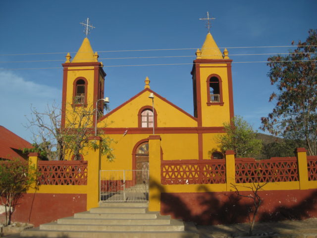
Km. 84.5 Paved road west to Santiago. Taking the road into Santiago, the long bridge over the riverbed is crossed and at Mile 1.5 is a Pemex station and plaza. Continuing across town is the church at Mile 1.9 and was the location of Mission Santiago from 1736 following the Pericú Revolt.
Mile 2.4 from Highway 1 is the location of the Santiago Zoo and the end of the paved road. The zoo has had a lot of controversy over the treatment of the animals and appears to have been closed, with signage painted over. There were some animals in pens, however.
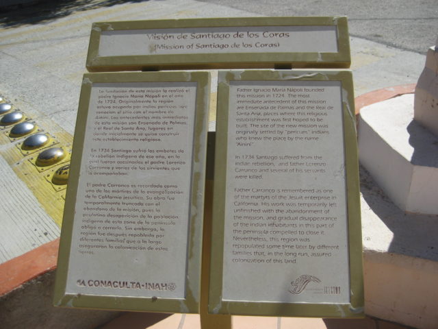
A modern church on the mission site of Santiago, California’s 10th Spanish mission. The first mission attempt was to the north at Santa Ana (near today’s San Antonio) in 1722. That failed after the new wall collapsed during a hurricane and killed many natives.
In 1724, Padre Nápoli tried again, only further south (about 2 miles north of this location). That prospered until the Pericú Revolt of 1734 in which the missionary at Santiago (Lorenzo Carranco) and the missionary at San José del Cabo (Nicolás Tamaral) were killed and burned. When the Spanish and Jesuits regained control over two years later, the Santiago mission was moved to this spot.
The history of events in this rugged land is so fascinating. Read more details in my book, Baja California Land of Missions, www.oldmissions.com, thank you for your interest!

Back on Highway 1…
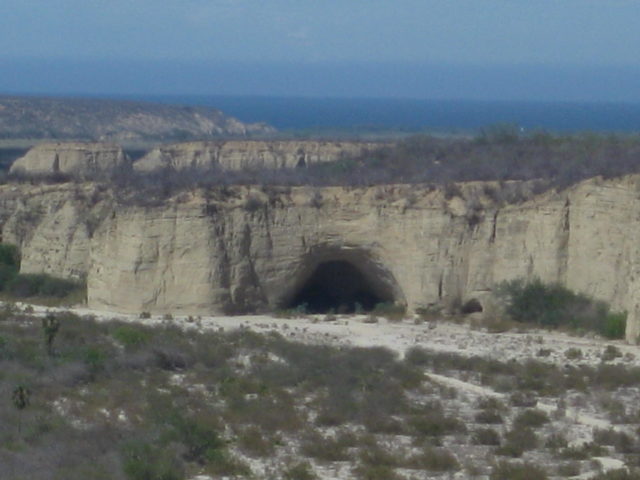
Km. 89.5 To the left of the road and looking north, see the Bat Cave of Santiago. Read more in my article on Baja Bound: https://www.bajabound.com/bajaadventures/bajatravel/the_bat_cave_of_santiago.php
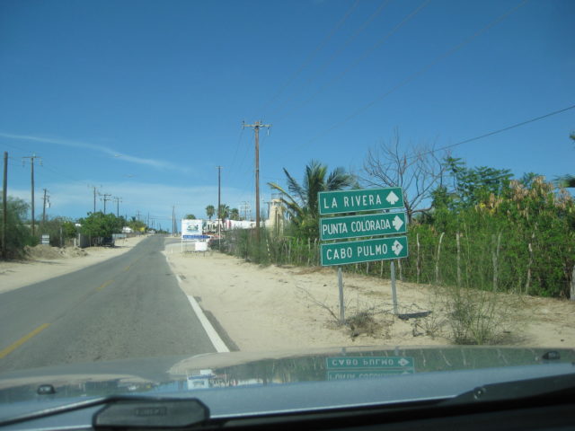
Km. 92.5 Paved road east to La Ribera and Cabo Pulmo. Just off Highway 1, a dirt road leaves the La Ribera road to go under the highway bridge to the bat cave. La Ribera is 12 kilometers from Highway 1 (7+ miles).
Km. 105 Buena Vista Resort
Km. 107 Buena Vista village
Km. 108.5 Los Barriles Pemex
Km. 110 Los Barriles paved main entrance.
Km. 127.5 San Bartolo
Km. 147 Graded road south to San Antonio de la Sierra, passing the famous Real de Sant Ana, the first commercial mine operation in California (silver). This was also where the Santiago mission was first established.
Km. 155.5 San Antonio (former silver mine and capital of Baja California Sur) and the junction with the paved road north to San Juan de los Planes (20 kms.), La Ventana, etc.
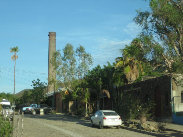
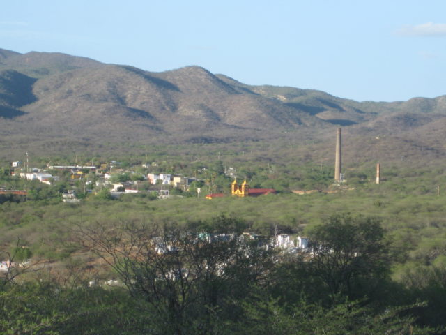
Km. 163 El Triunfo. The silver mines here flourished after the San Antonio mines were exhausted. The mines operated between 1860 and 1926. The Boleo copper mine people of Santa Rosalia tried to reestablish operations and built a loading dock at Ensenada de los Muertos to ship the silver bars out.
Km. 177.5+ Road north to San Blas and on to the La Paz-Los Planes highway.
Km. 185 Junction with Highway 19 to Todos Santos and Cabo San Lucas.
Km. 189 San Pedro
Km. 194 Pemex station.
Km. 200, final kilometer sign seen before La Paz.
Km. 200 + 7.0 miles = Km. 211+: Levee road west to Dove/ Whale Tail monument at the north entrance to La Paz. The levee road is 2 miles long between the two parts of Highway 1. The Home Depot and Wal Mart are near the Dove end of the ‘cut-across’ road.
Continues on next page…