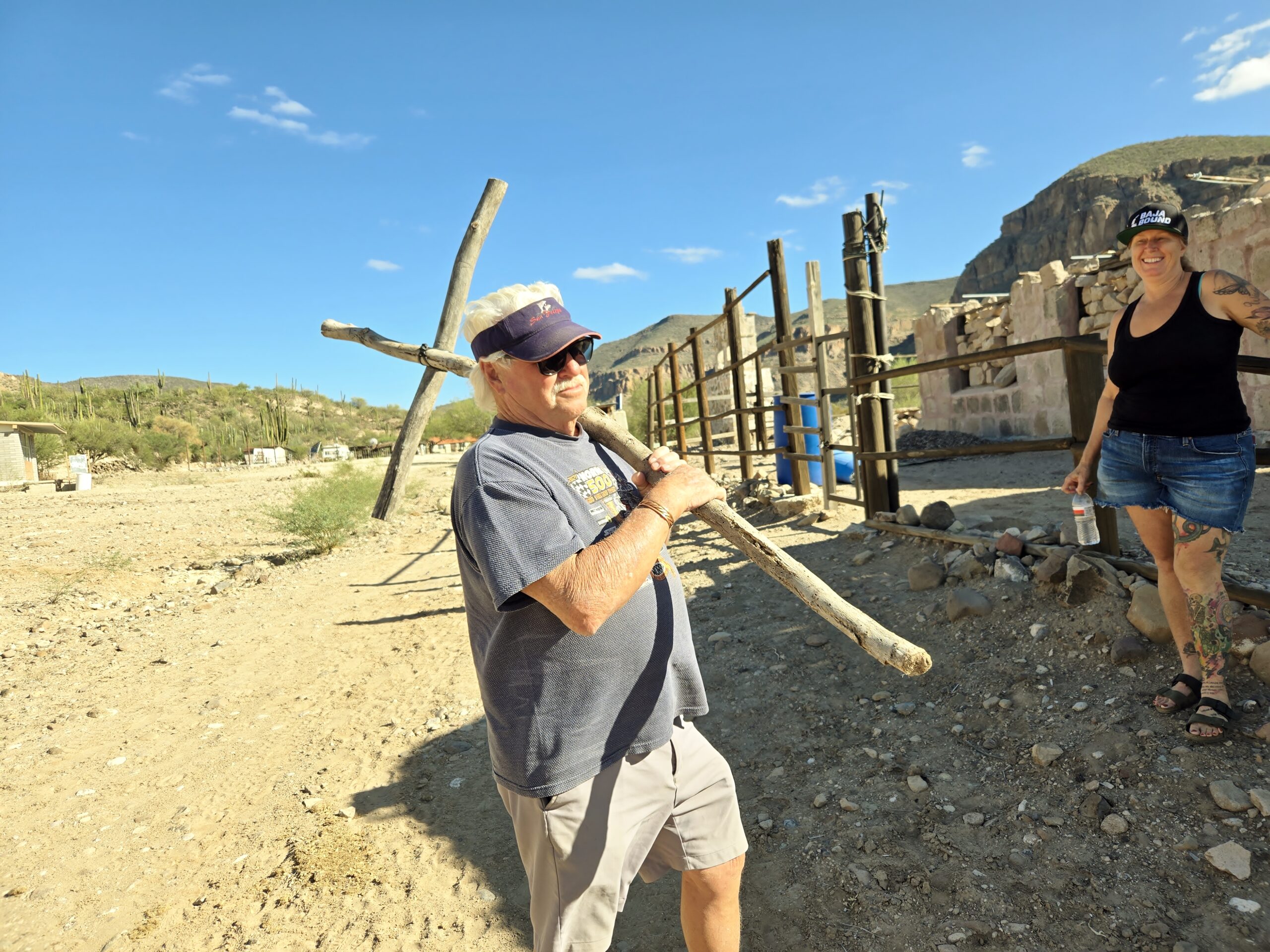
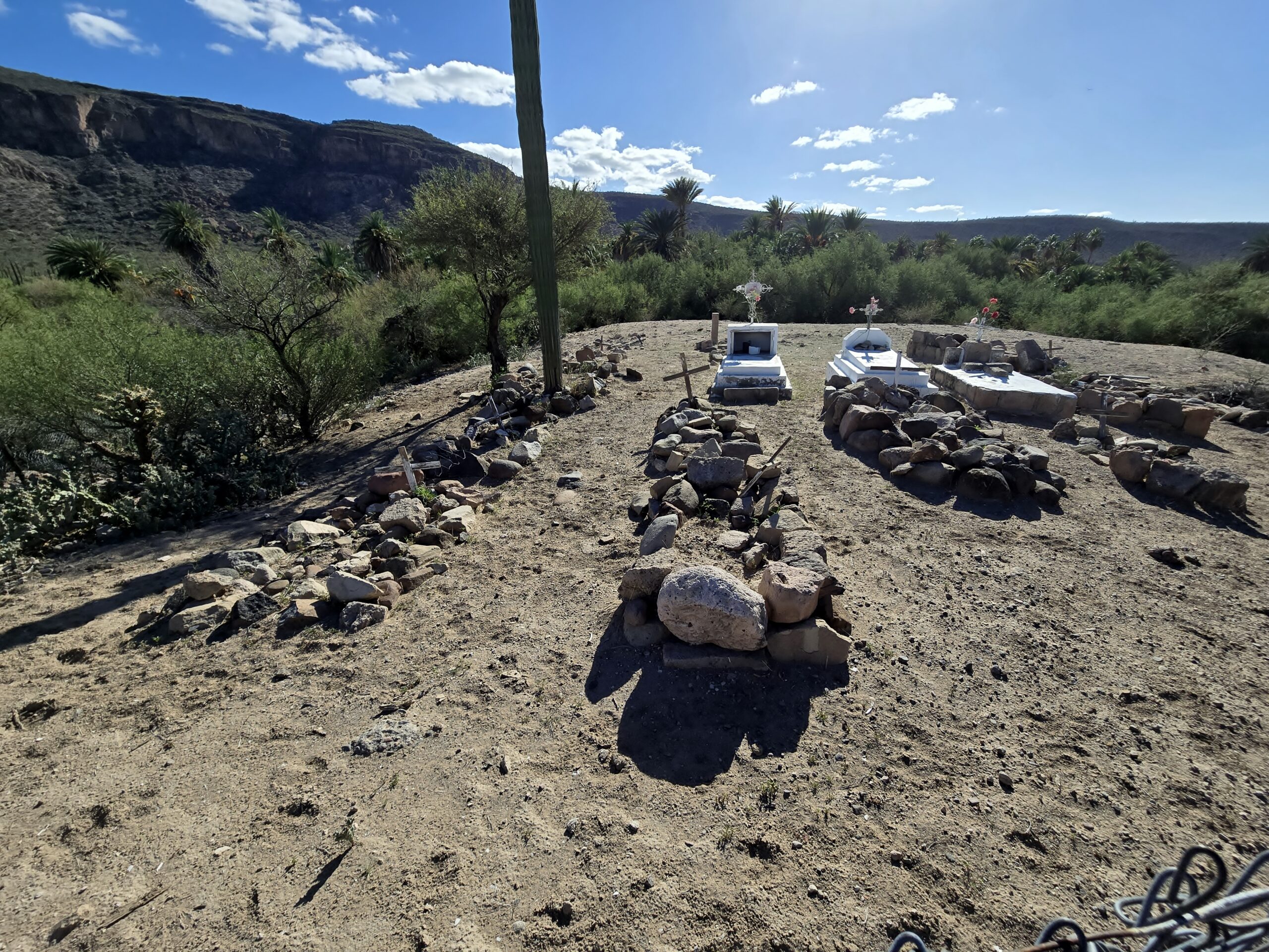
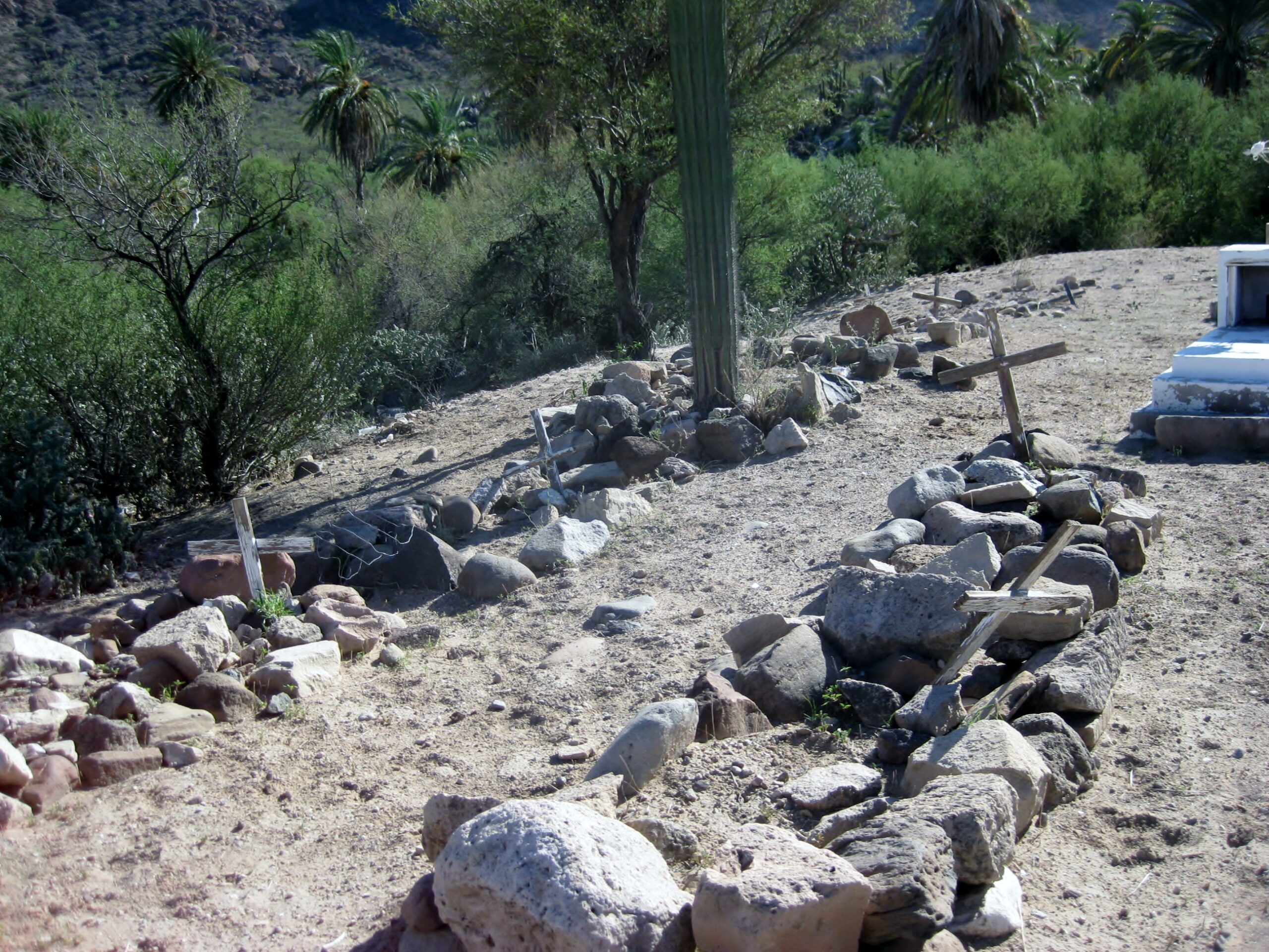
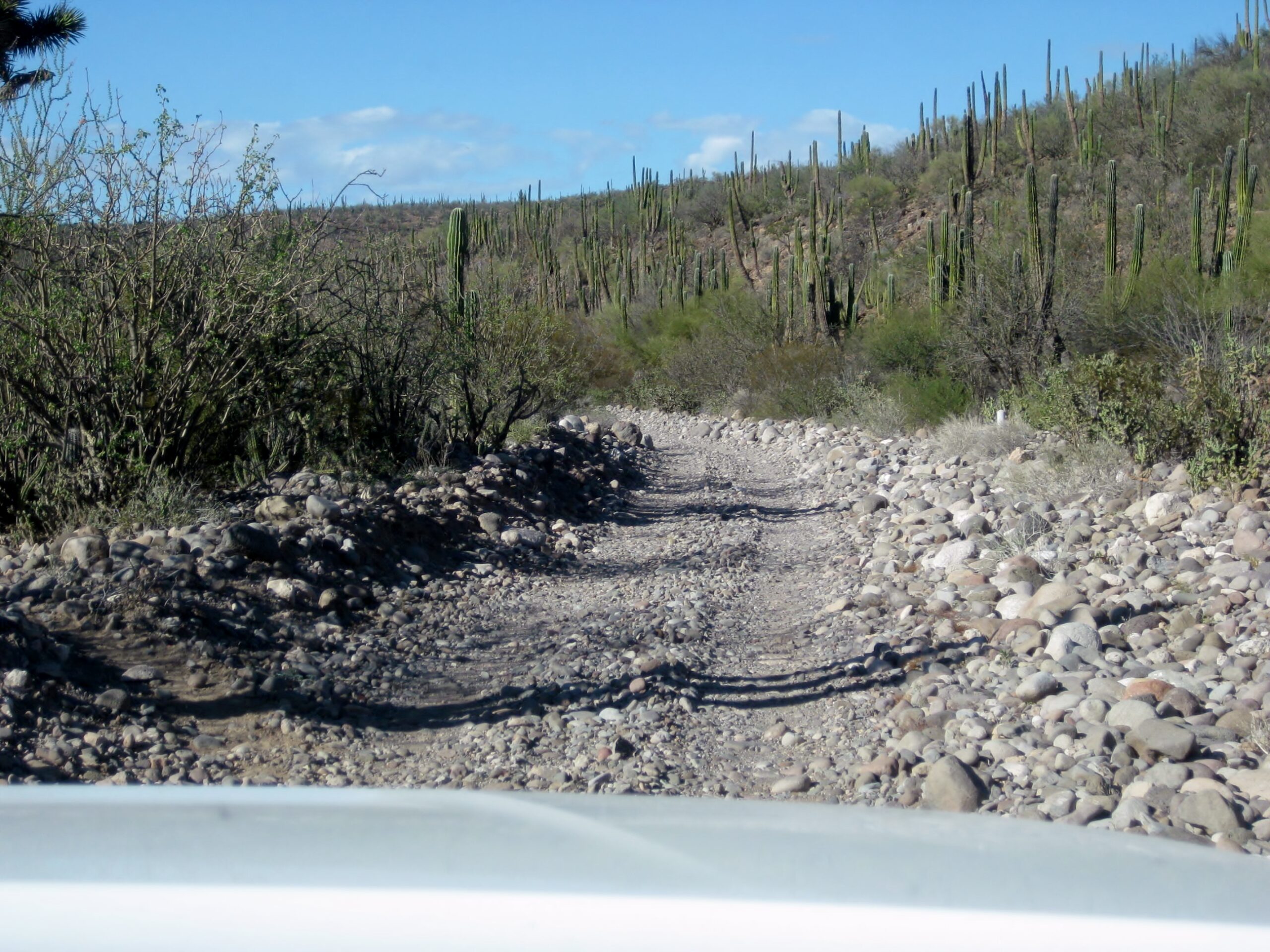
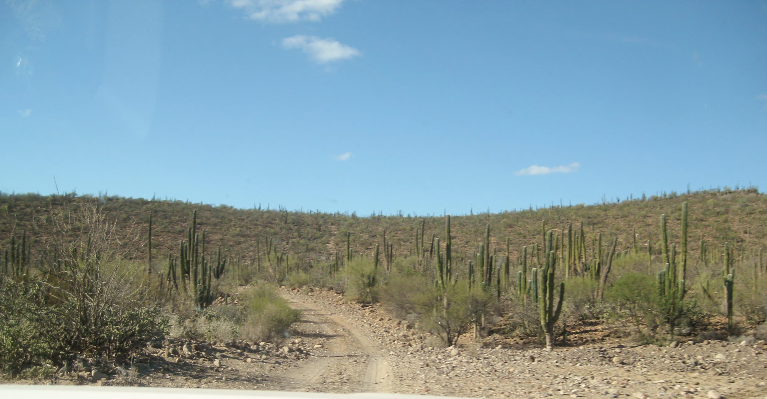
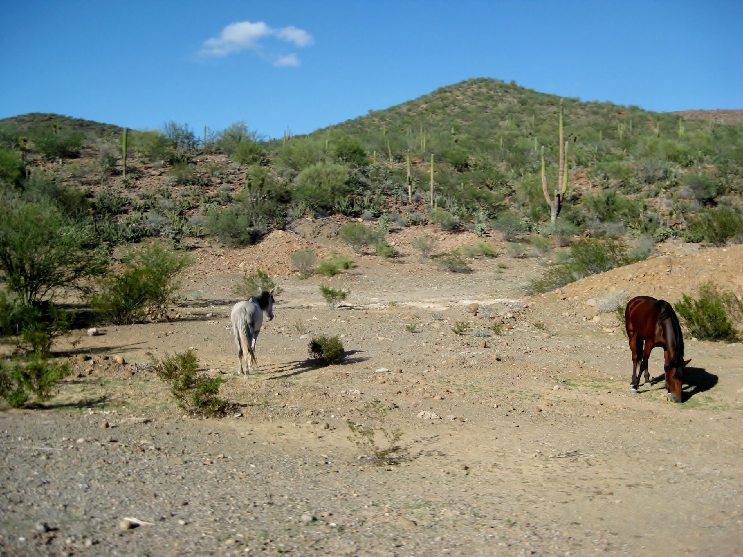
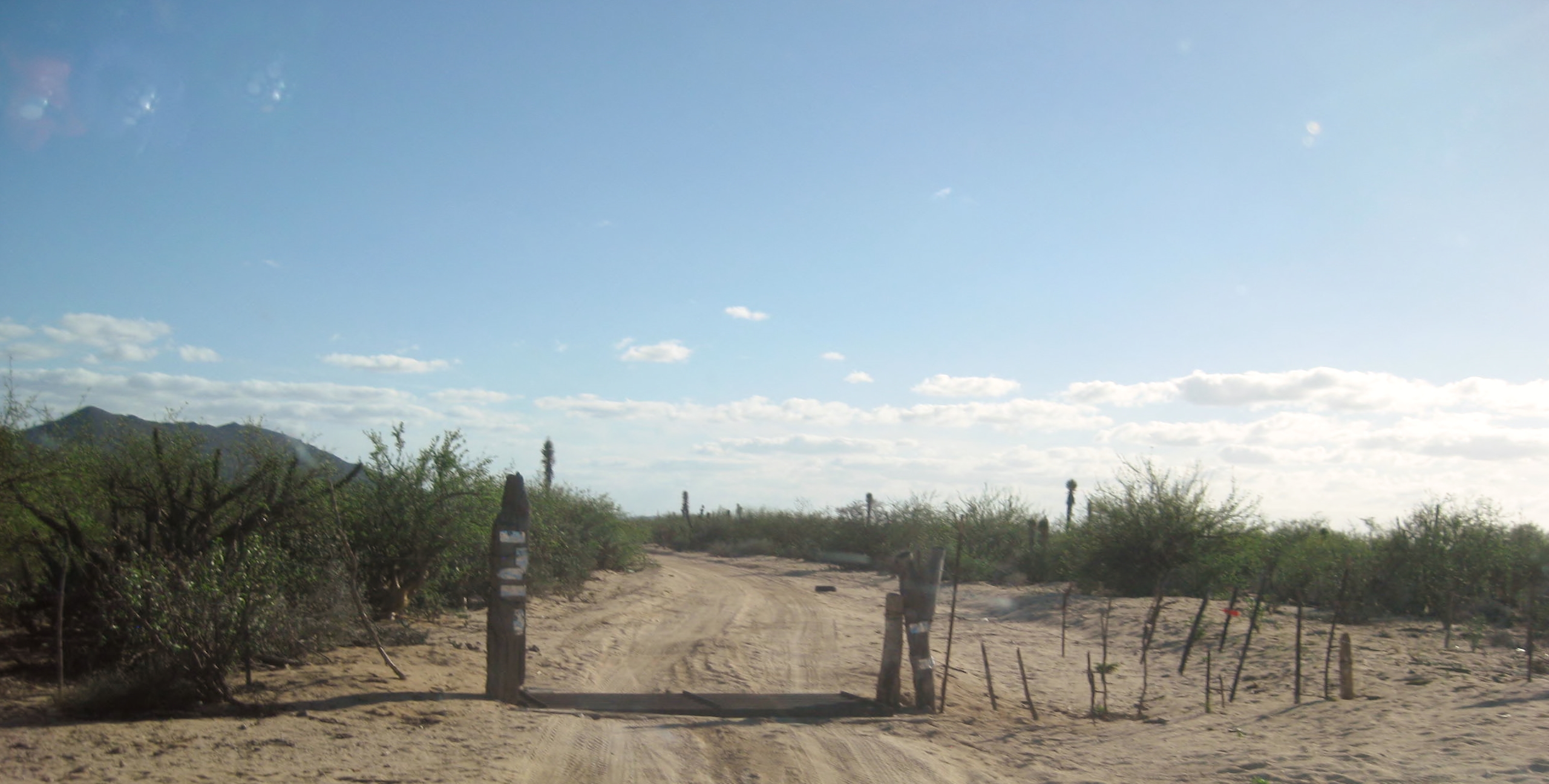
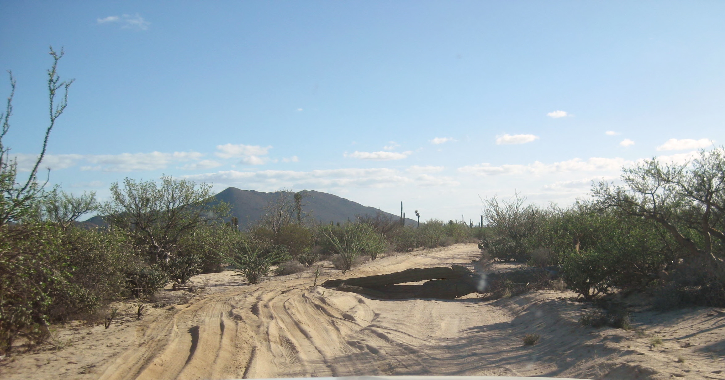
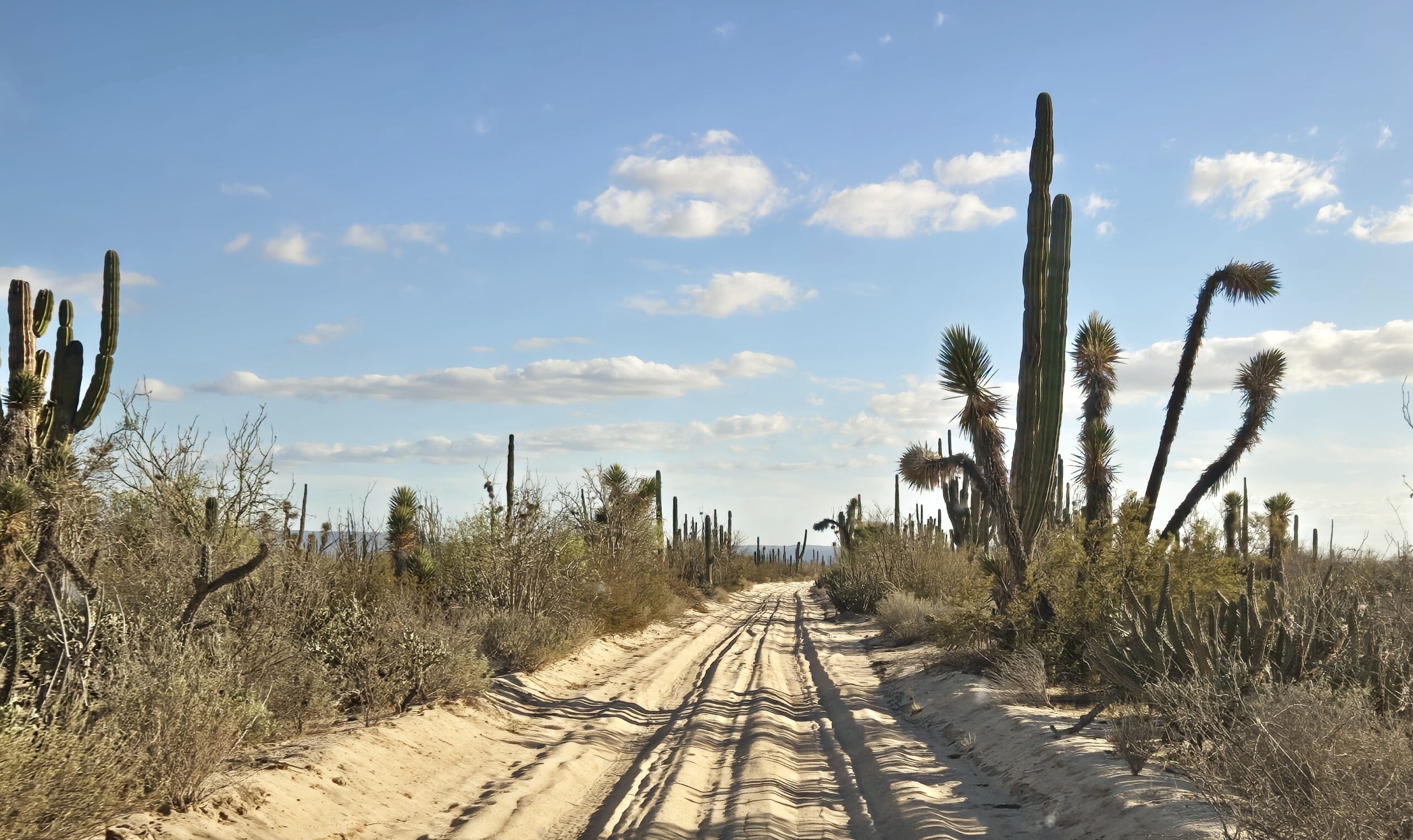
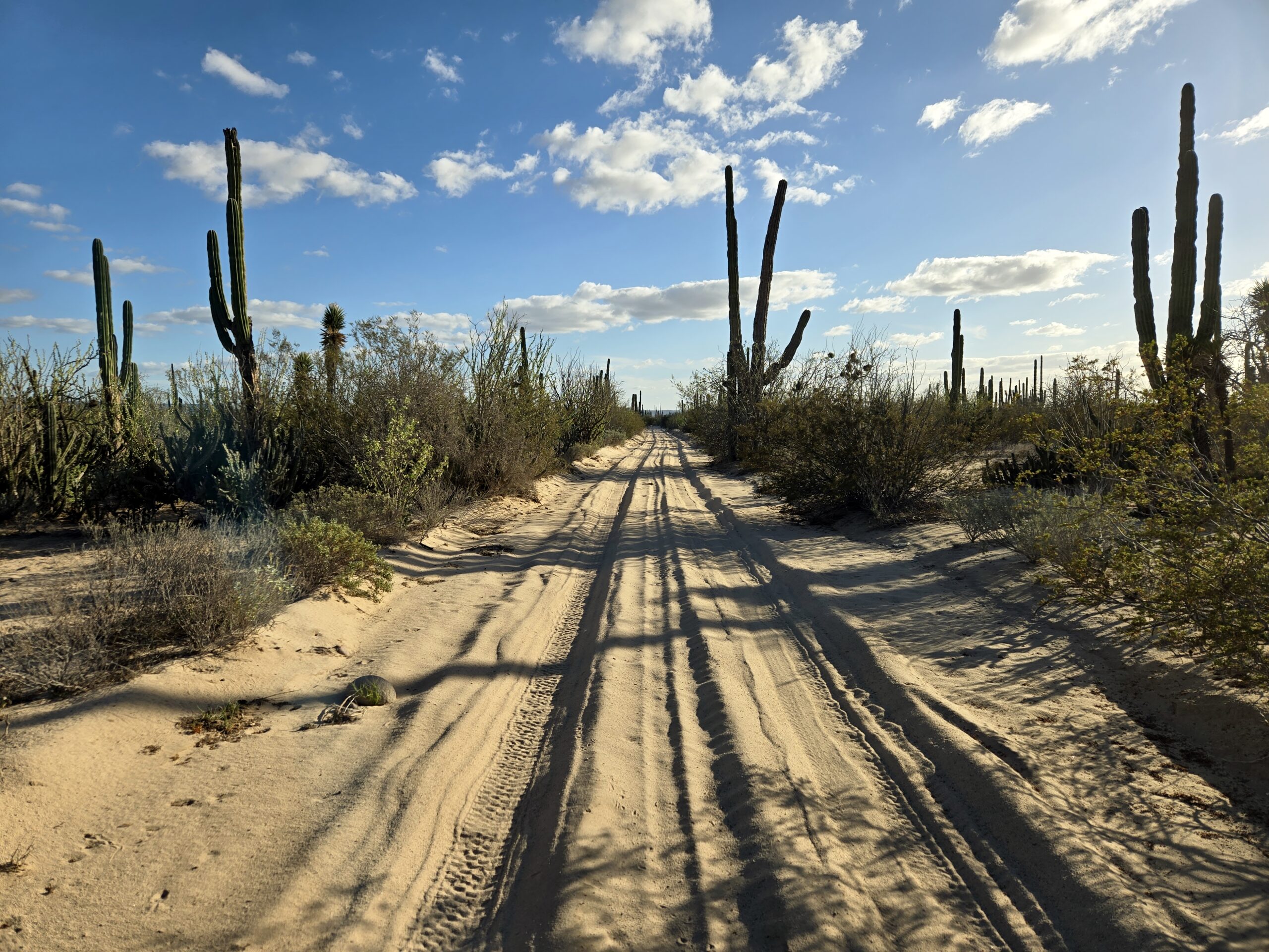
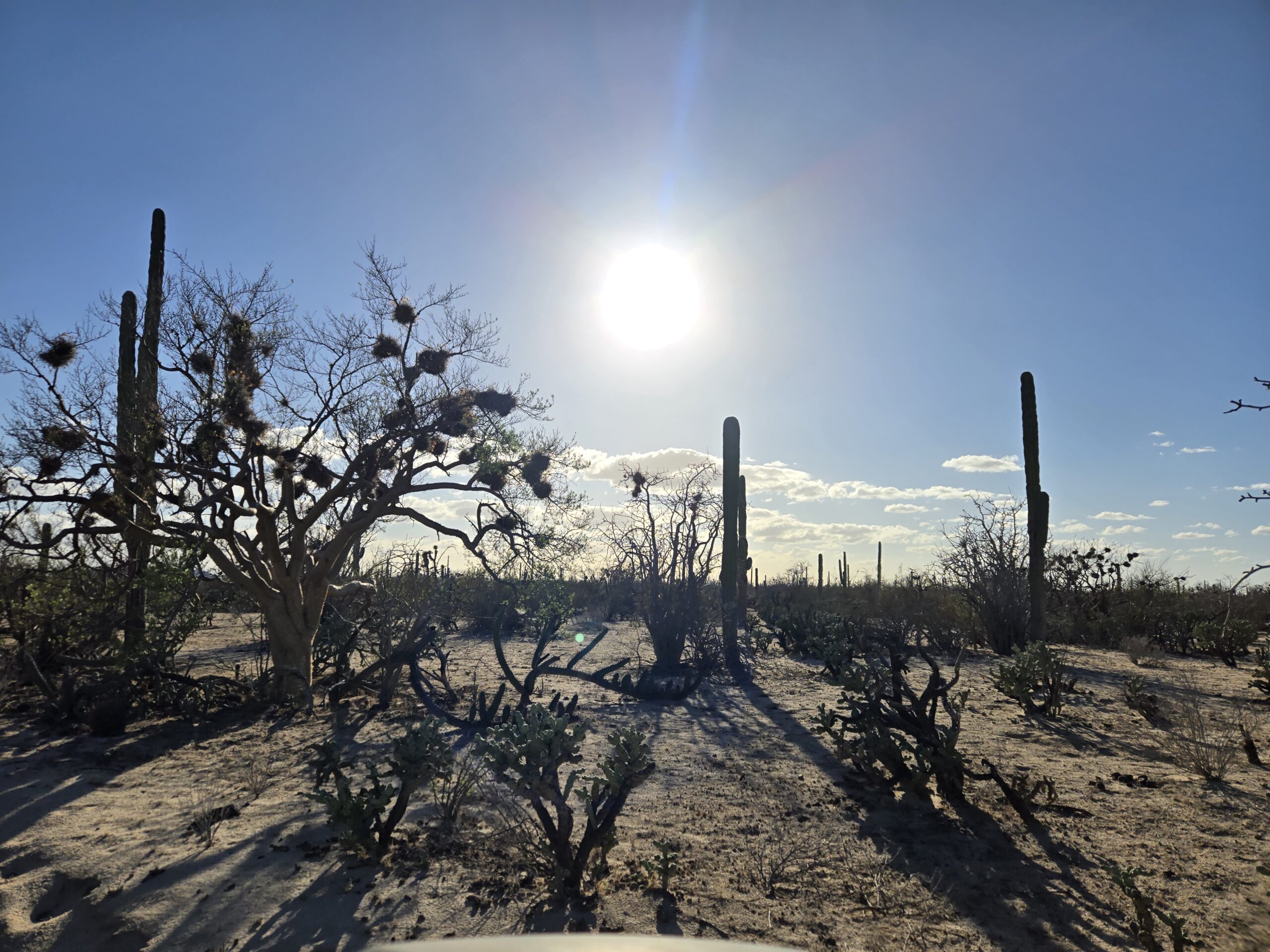
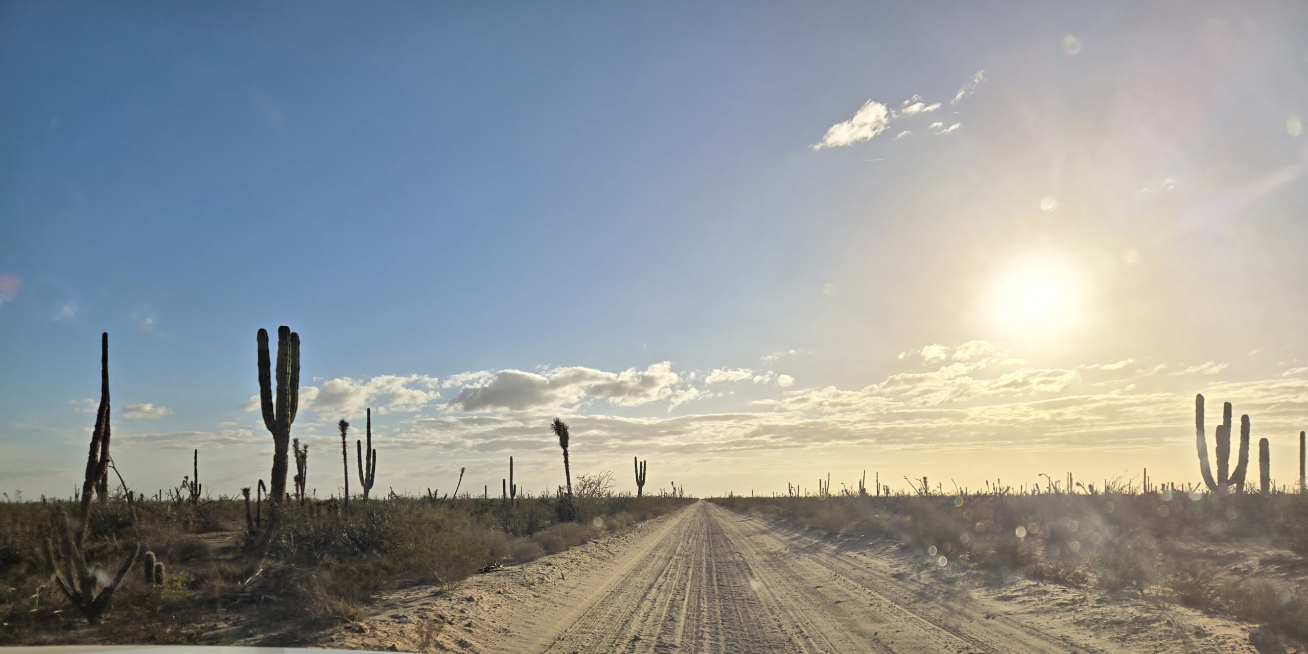
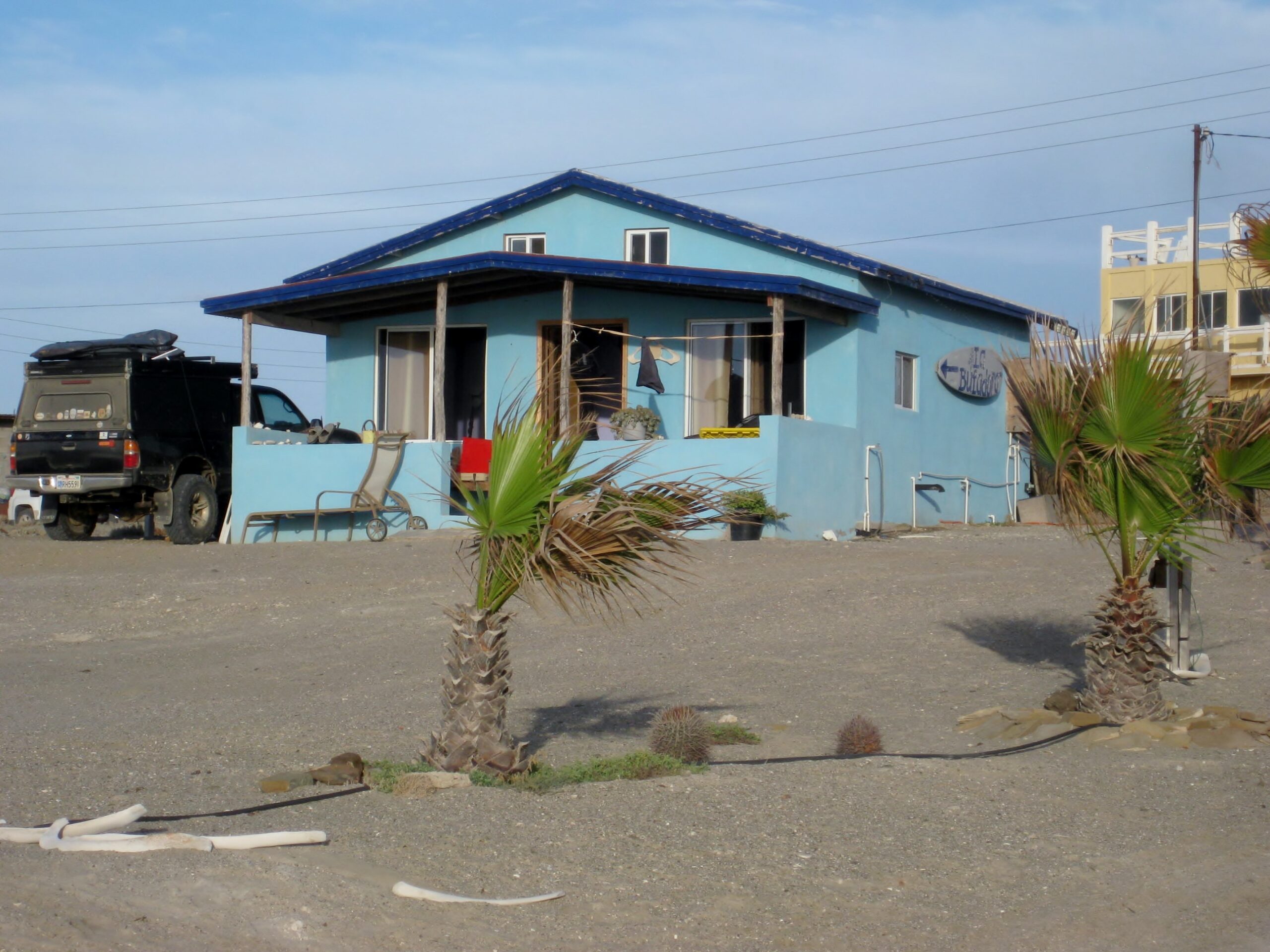
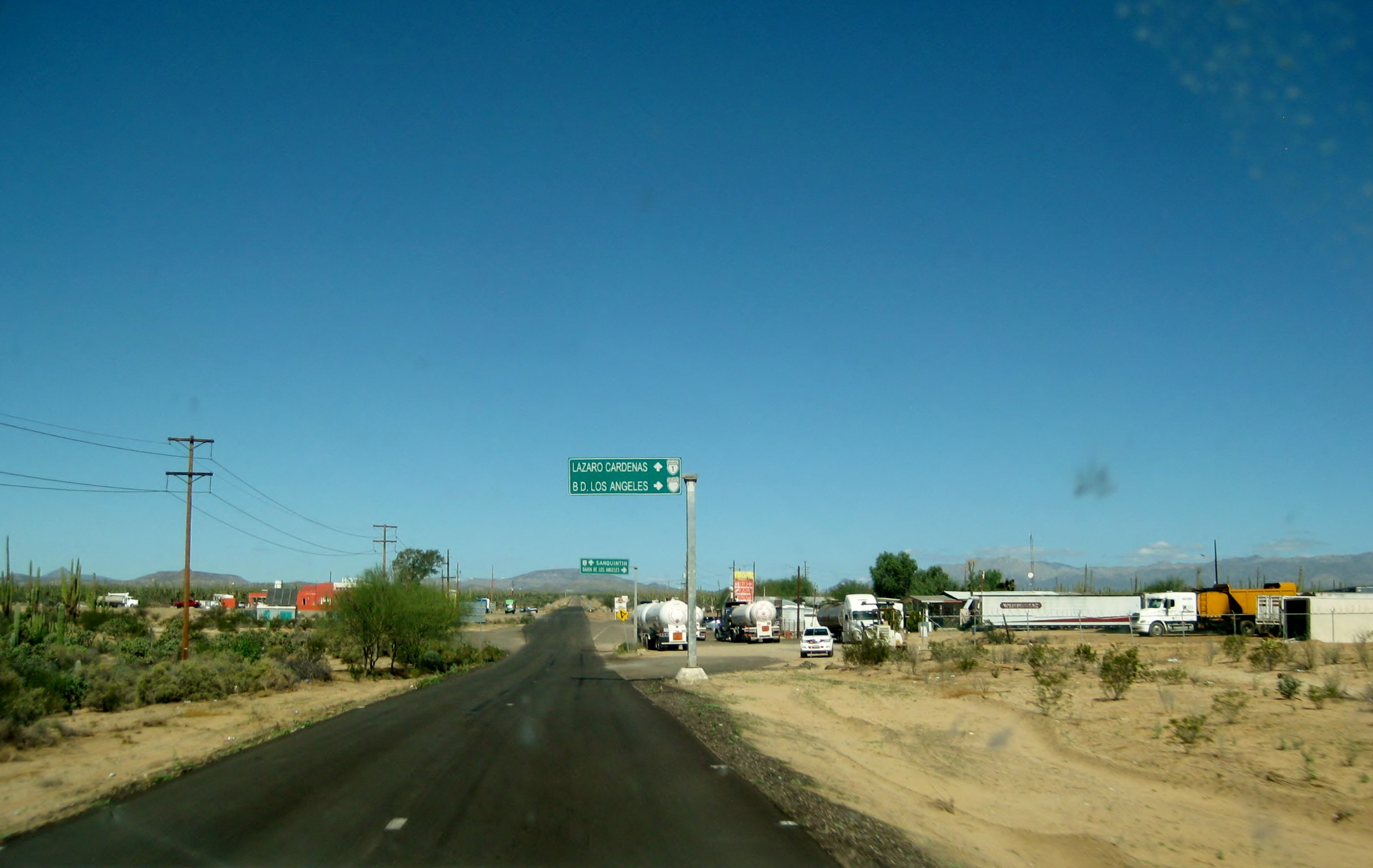
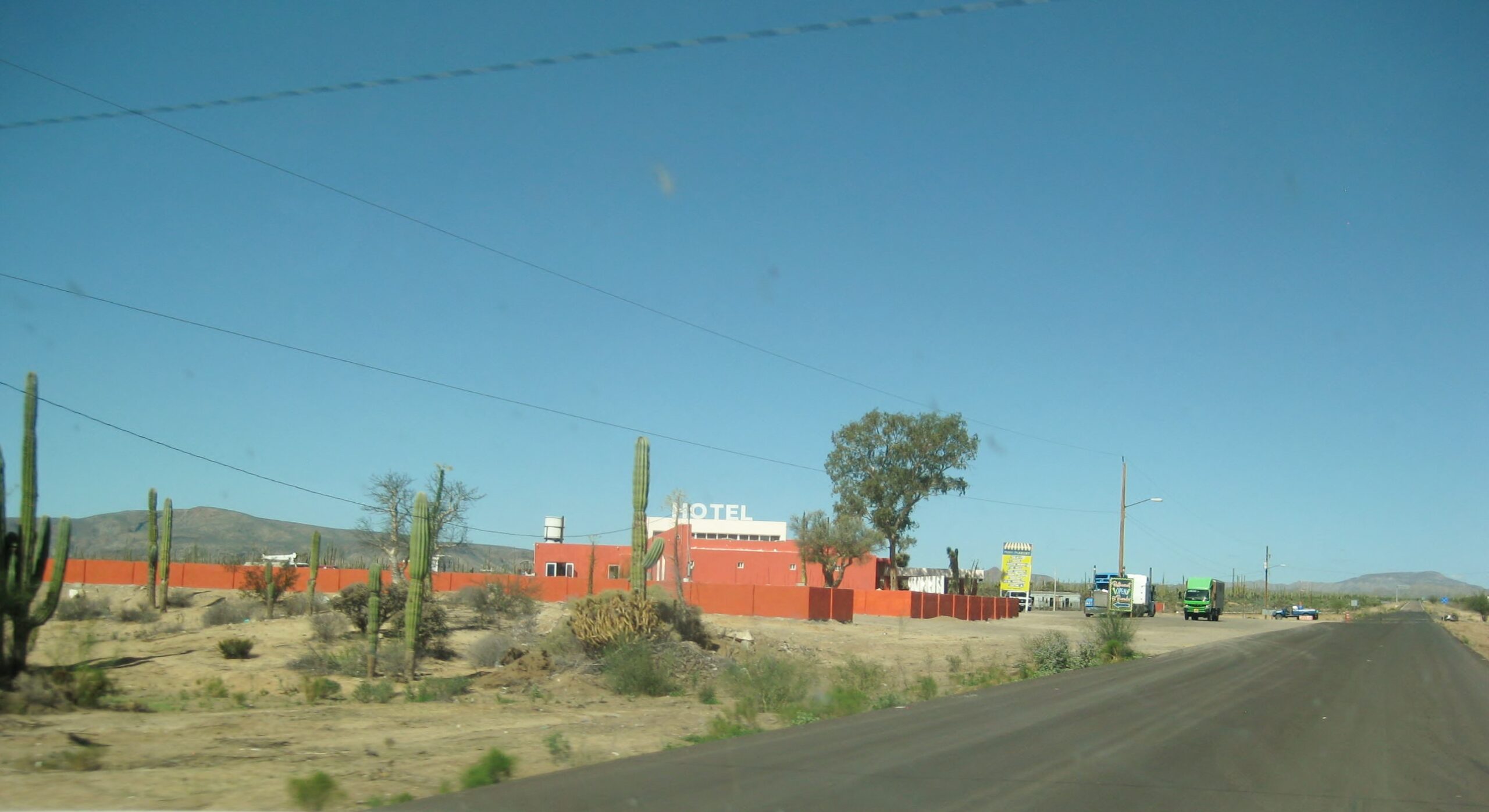
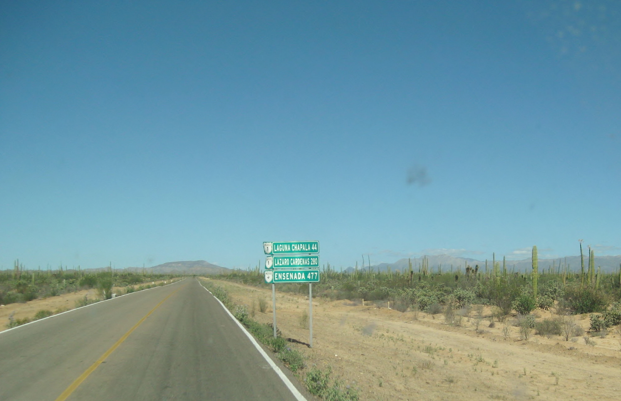
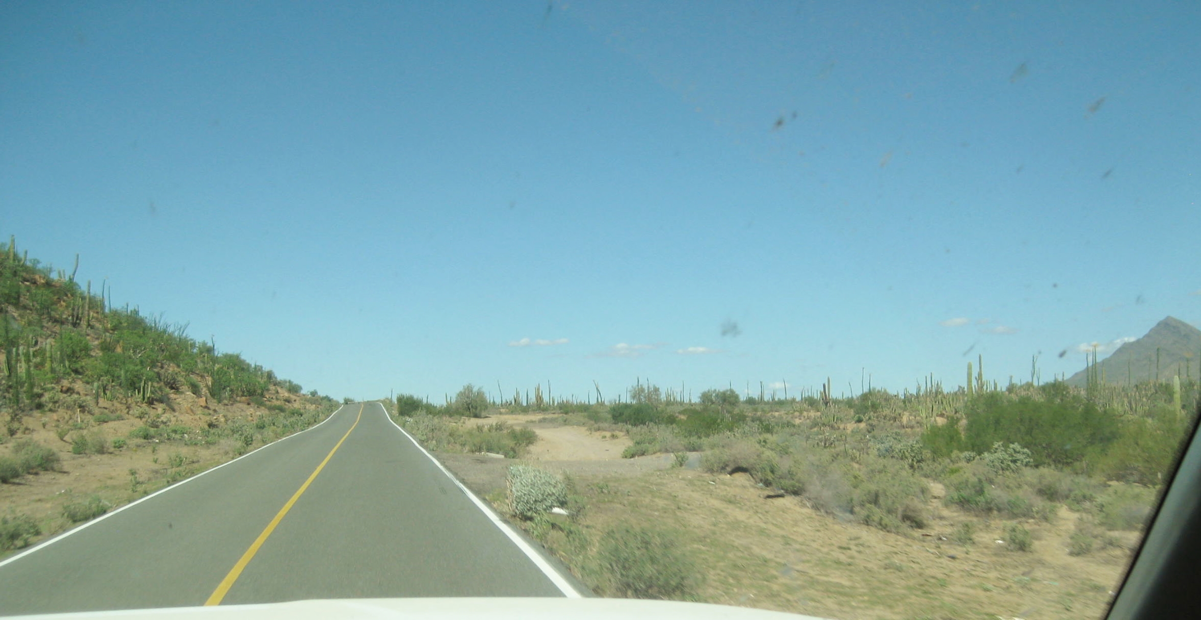
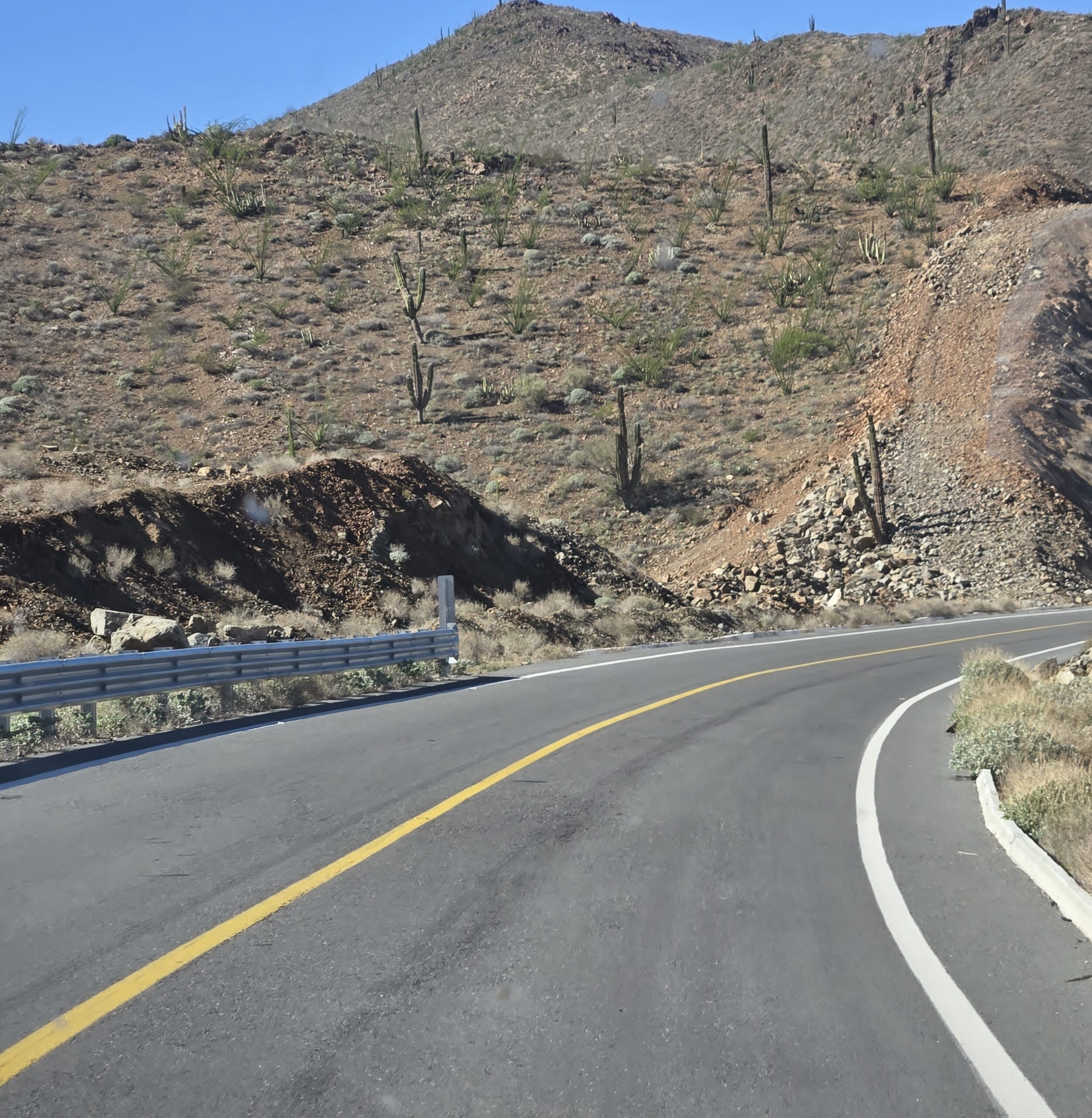
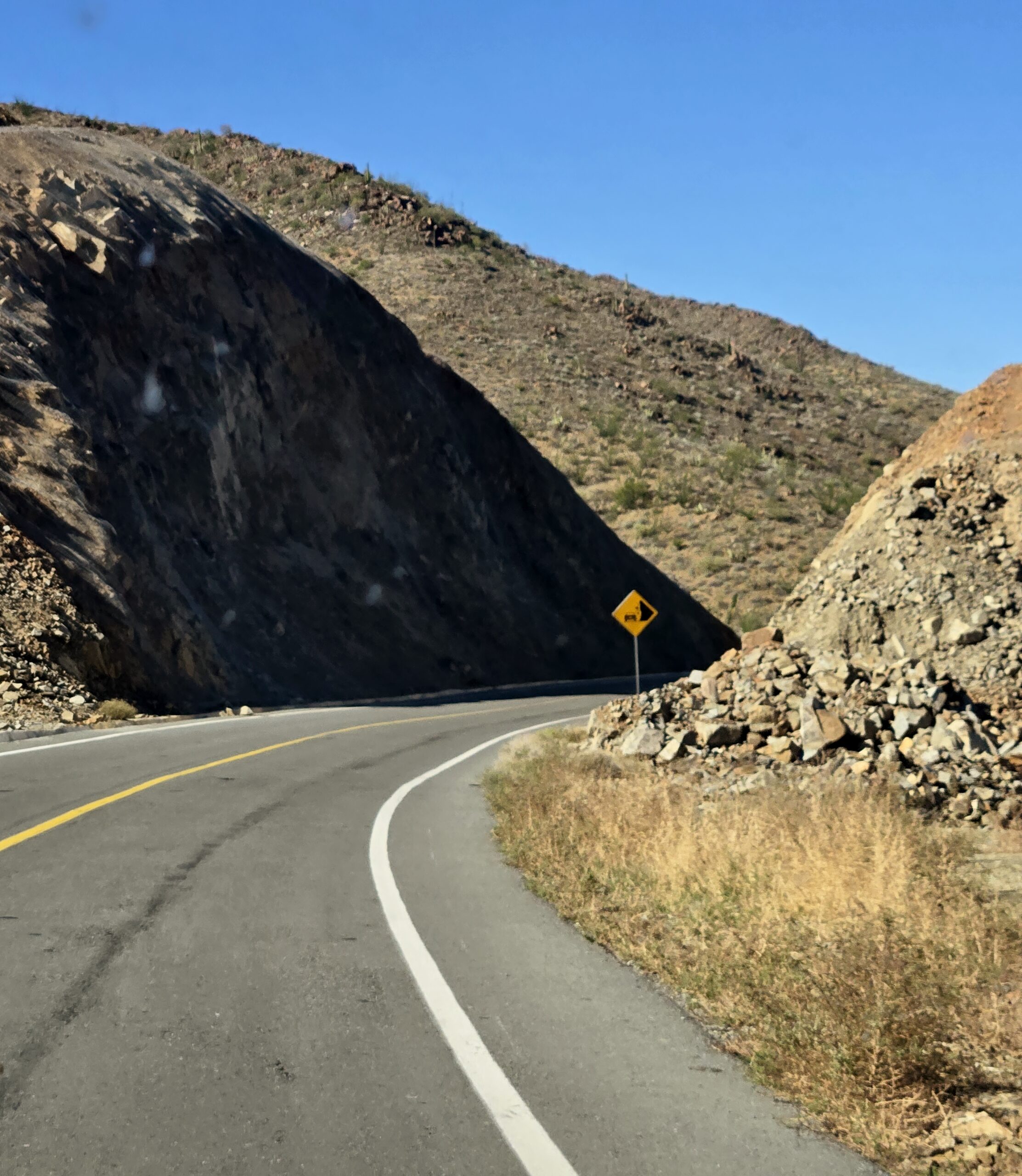
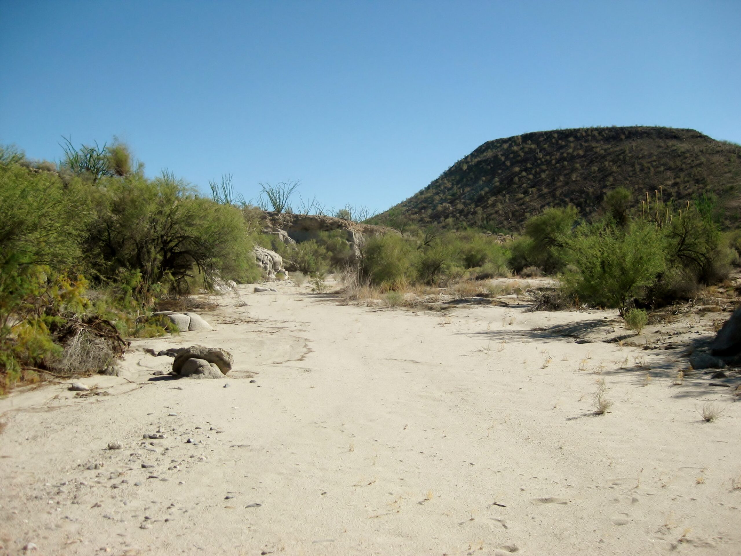
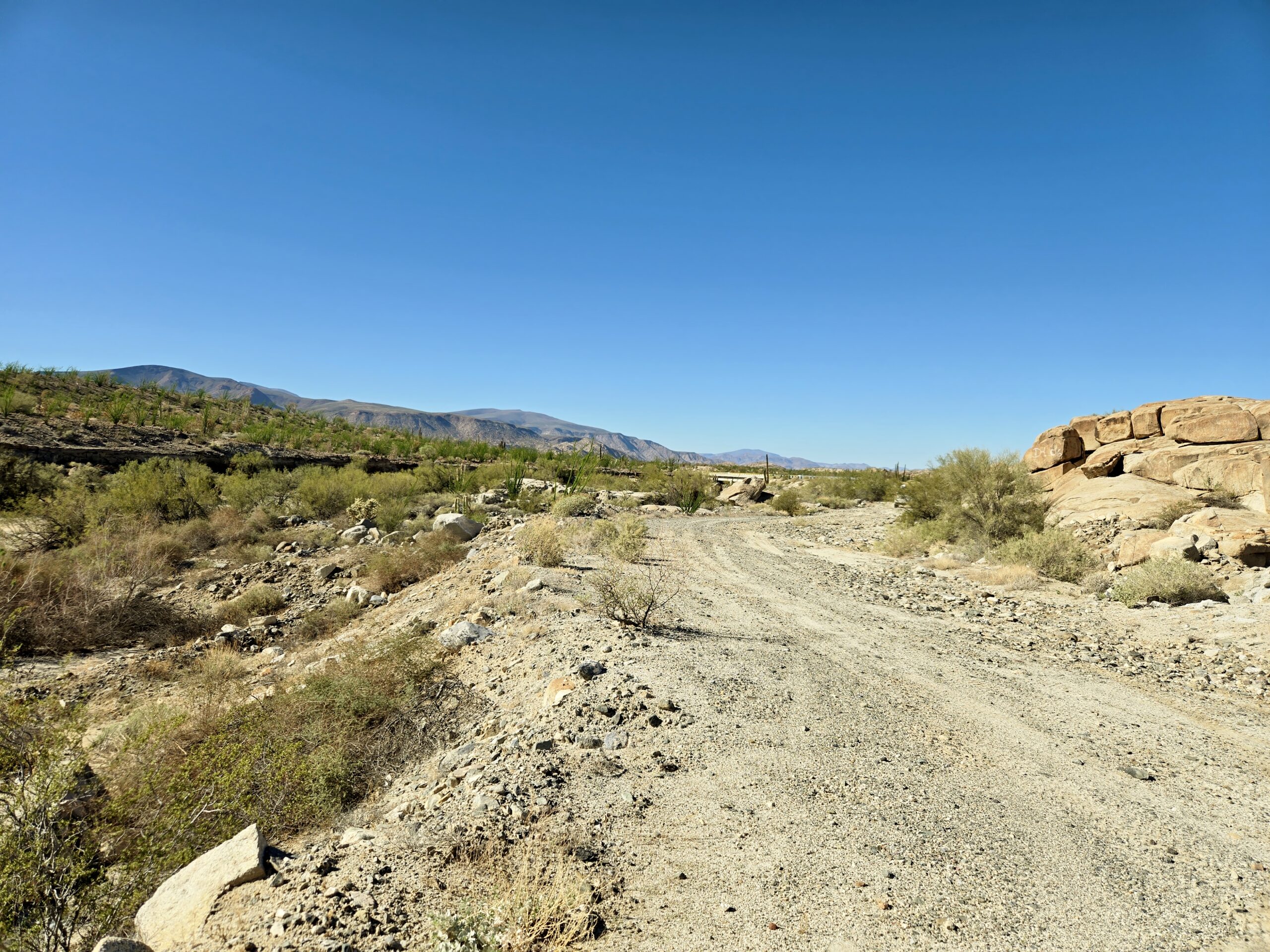
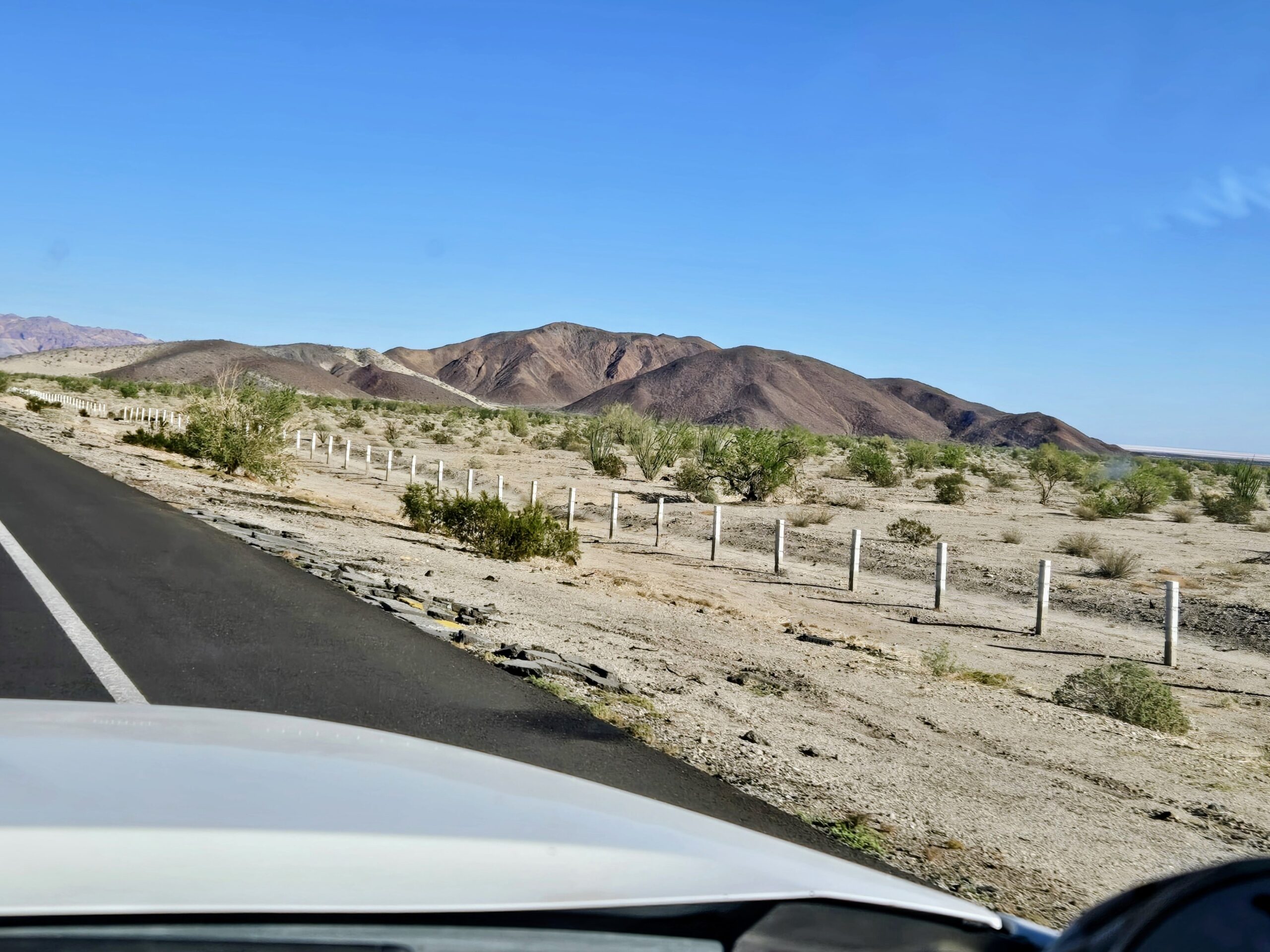
NEXT (still Day 3) we backtrack 12 miles then turn south, cross into the state of Baja California Sur, have a nice drive on the sandy Guillermo Prieto road to Mexico #1, near El Vizcaino, where we top the gas tanks and air up the tires. Then it is west to Bahía Asunción and Shari Bondy’s La Bufadora Inn, for two nights.
If you look hard, the mission road, El Camino Real. can be seen climbing the hill towards San Borja and San Diego!
The border with Baja California Sur.Fallen cardón detour.
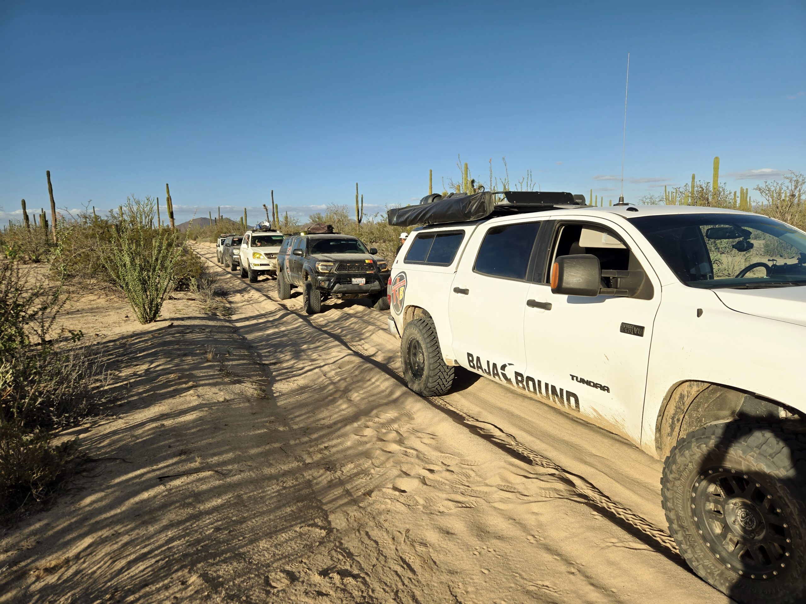
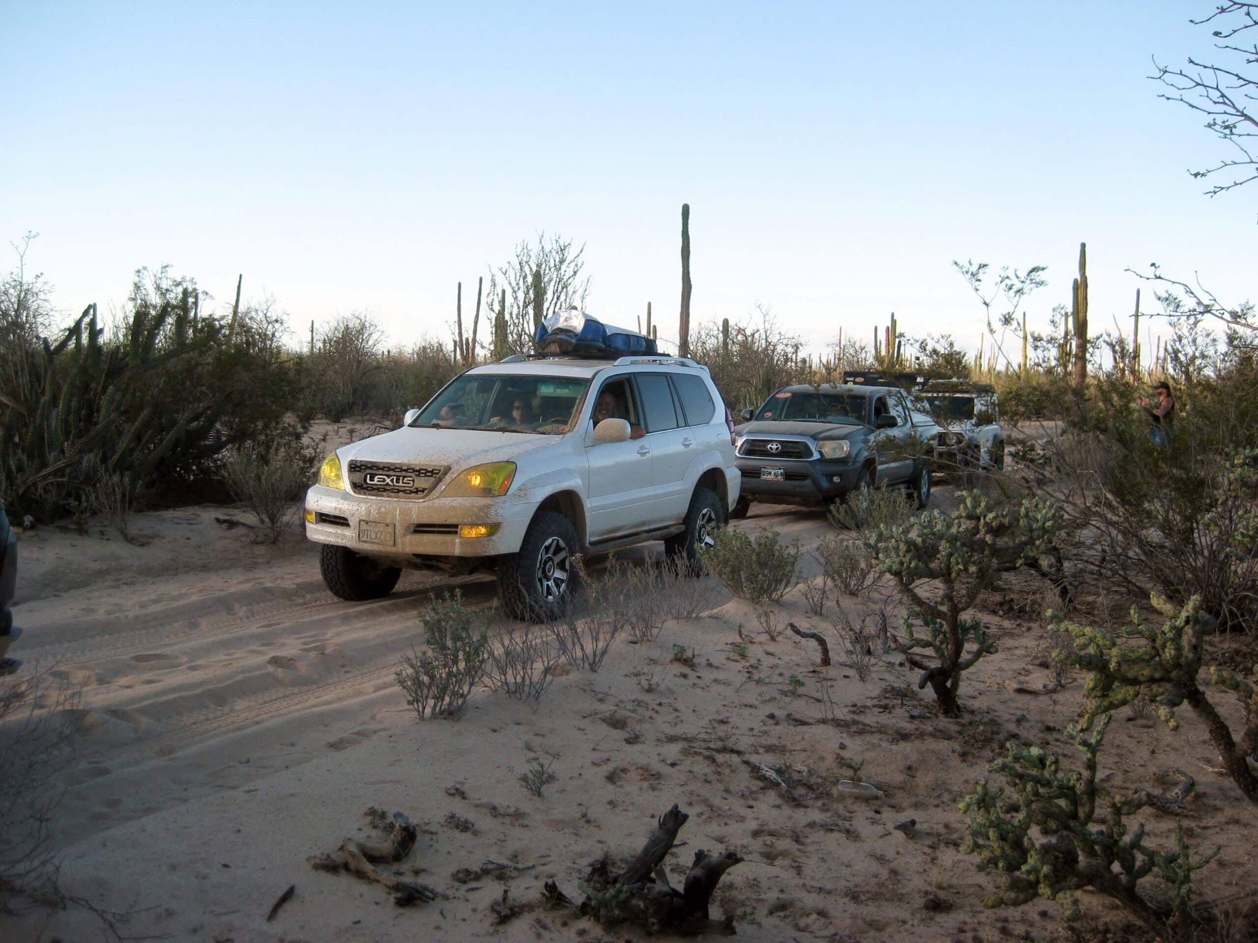
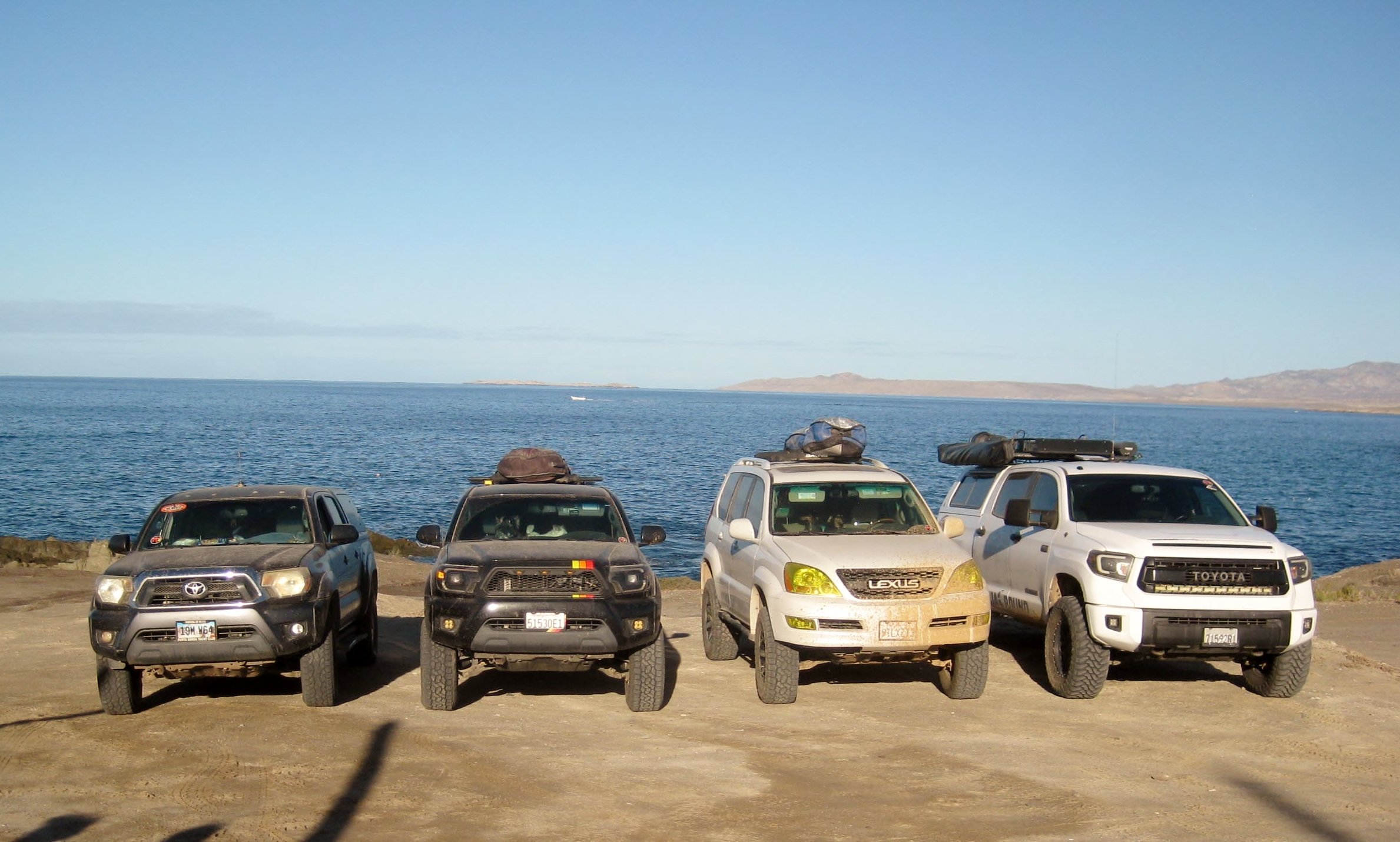
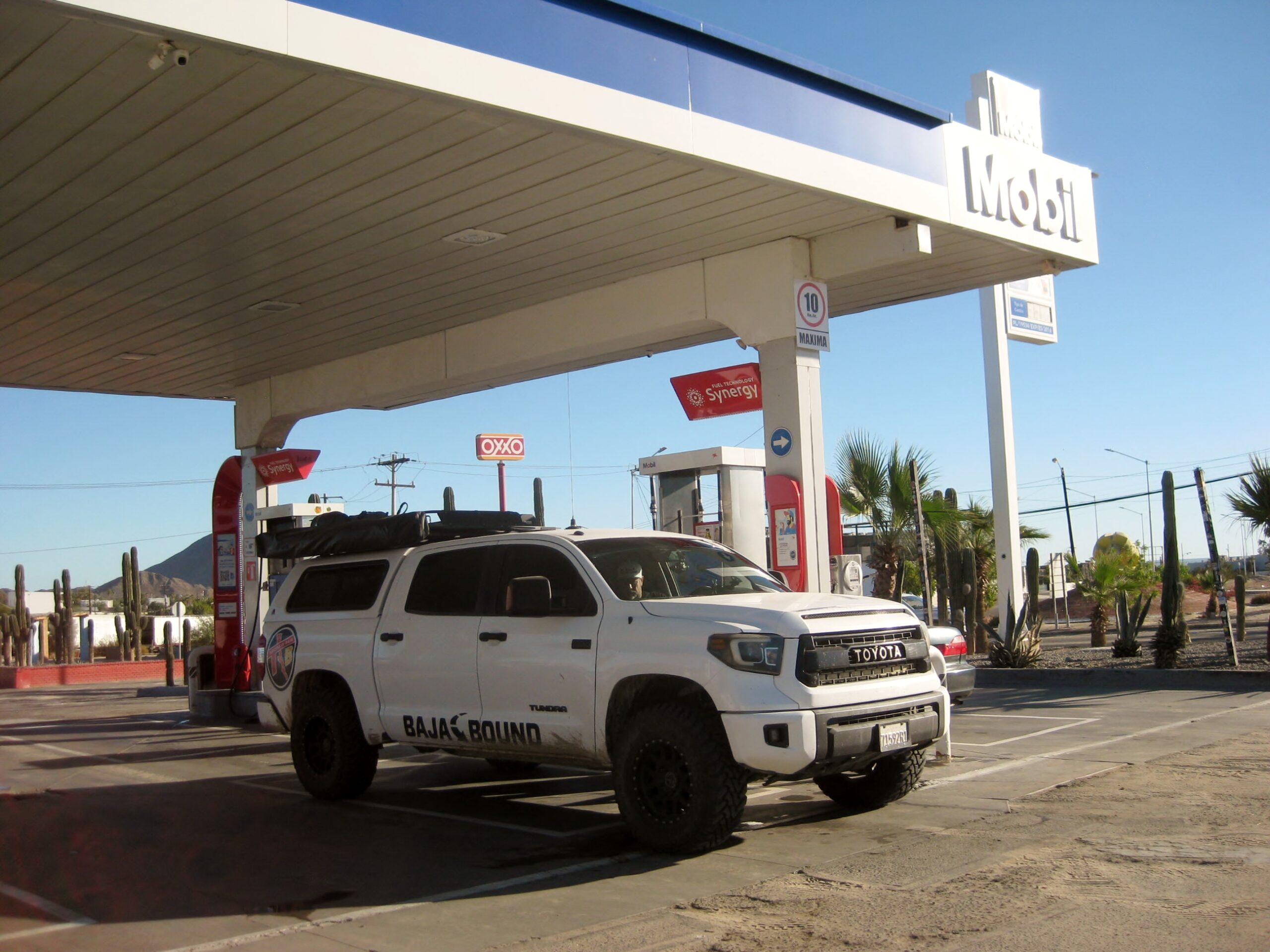
The Toyotas in Baja/ Viva Baja/ Baja Bound caravan.
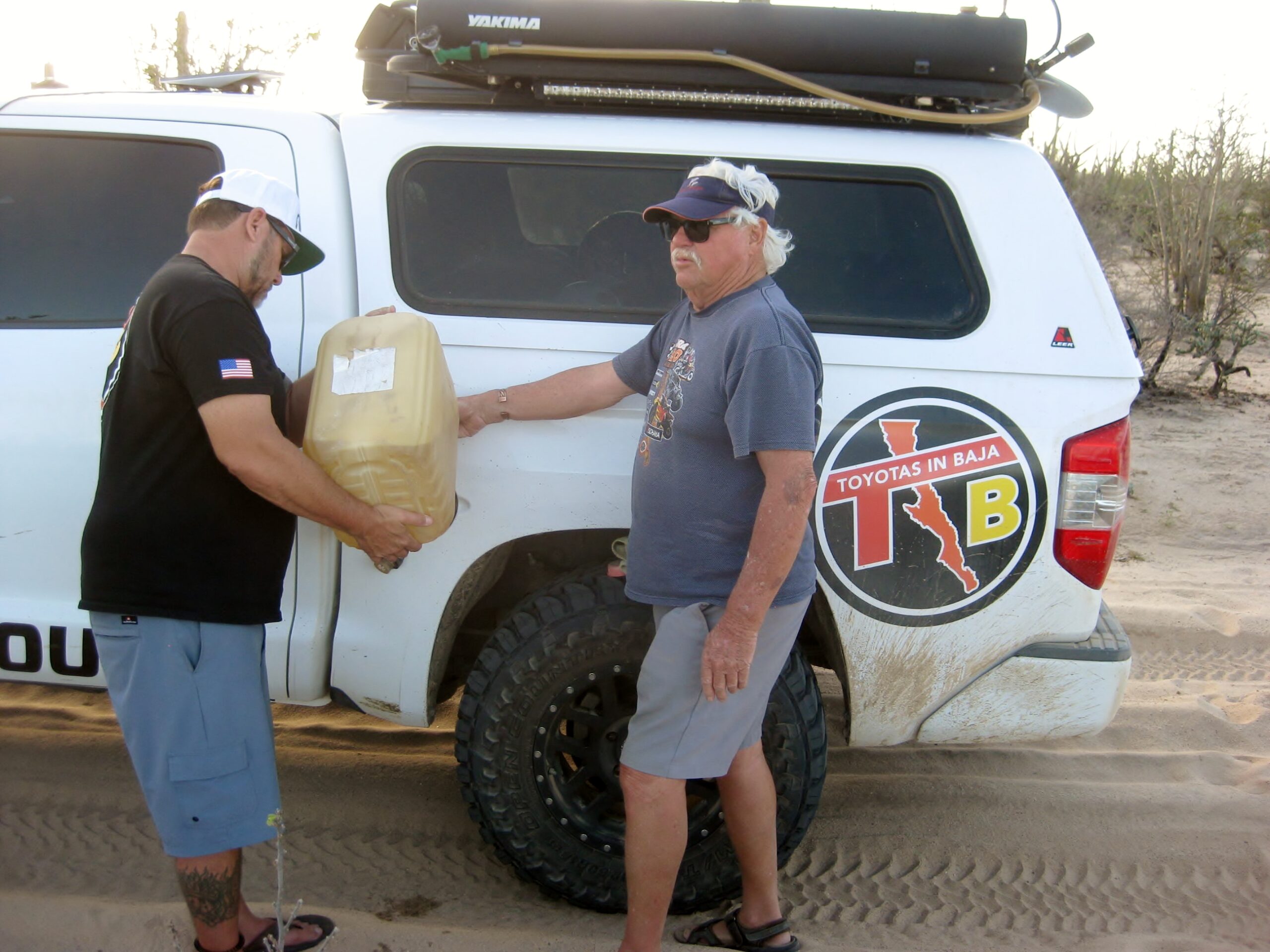
Lamoine provides some emergency gas for Dave’s thirsty Tundra. We hadn’t quite run out but were close to empty.
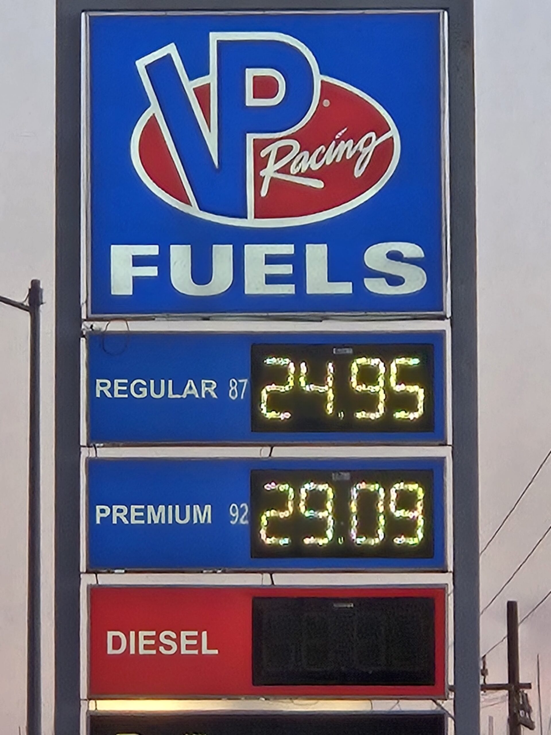
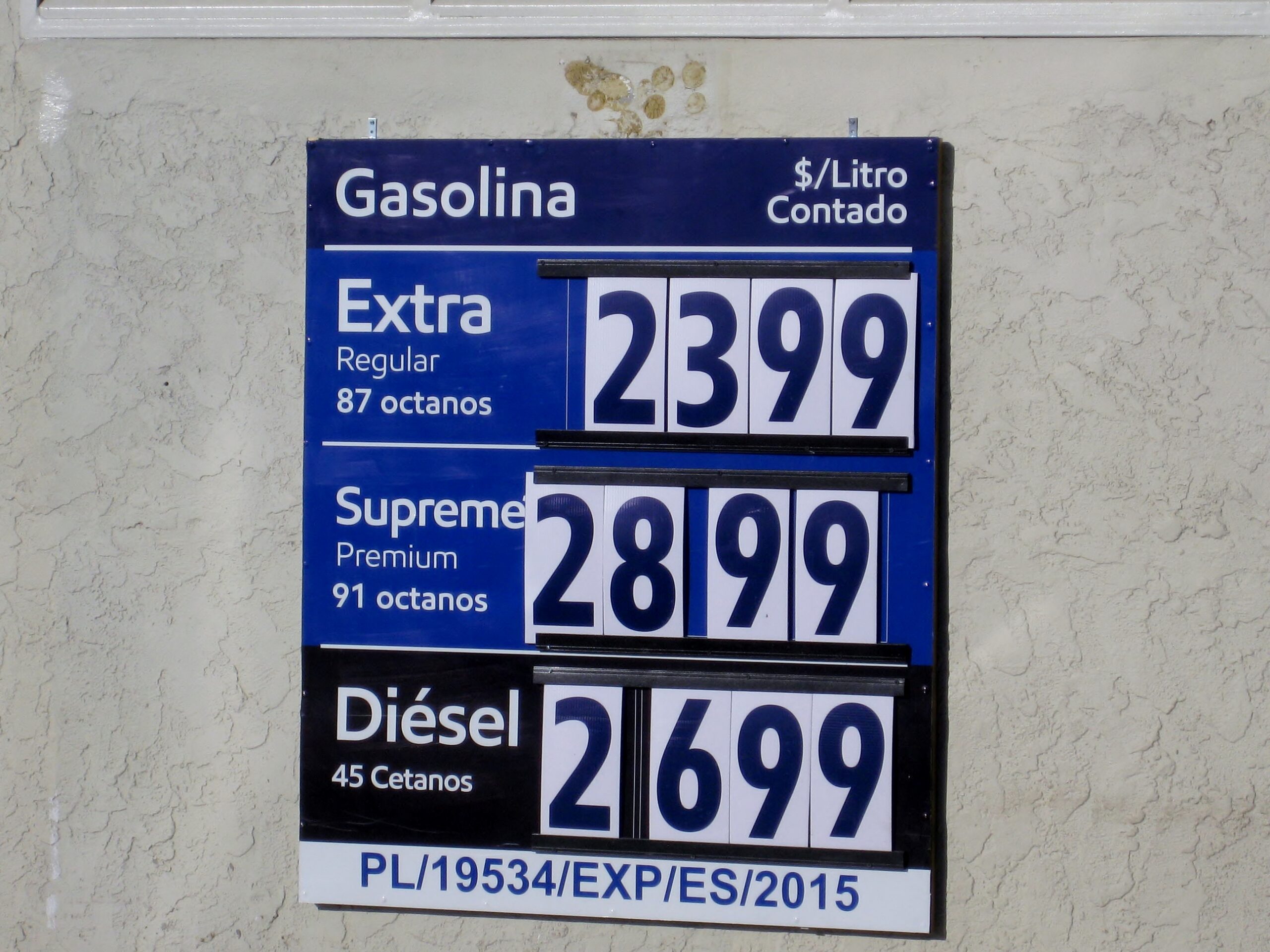
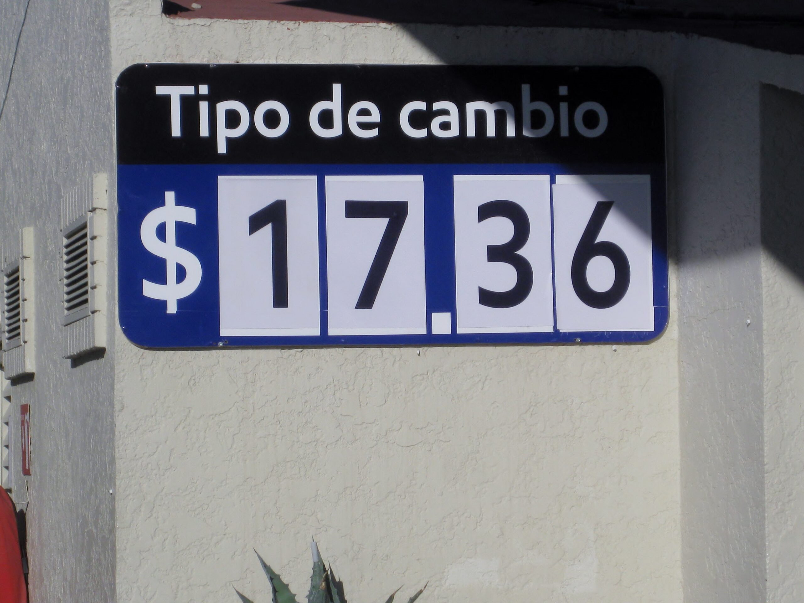
87 octane gas prices ranged between 22 to 25 pesos per liter on this trip. Here is the station at Vizcaino where gas was $5.46/ gallon (at 17.30 pesos:dollar).
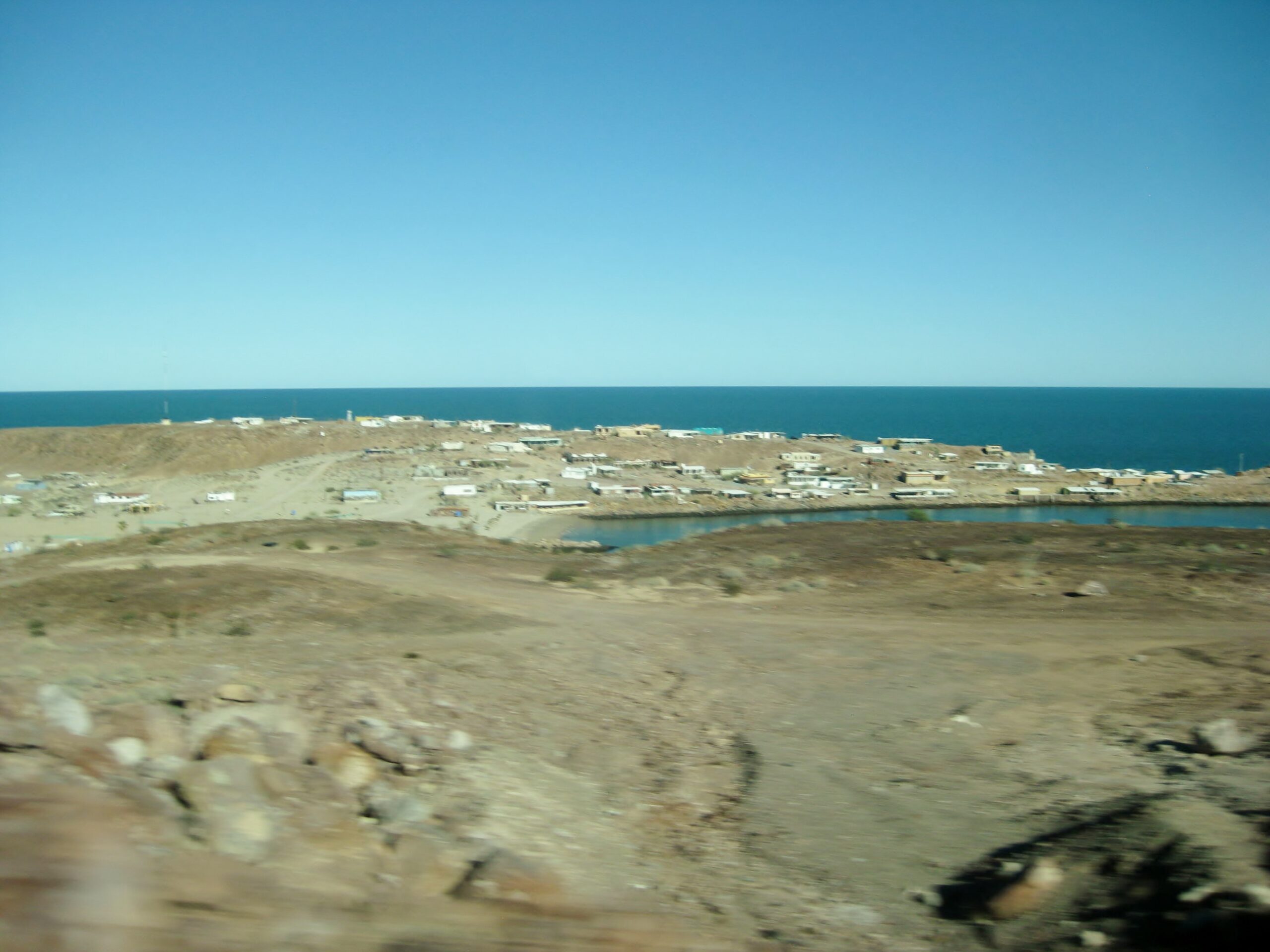
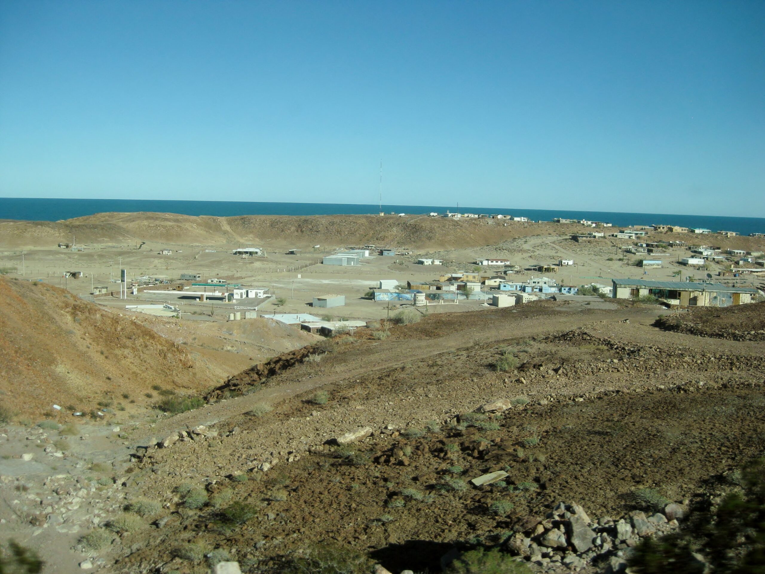
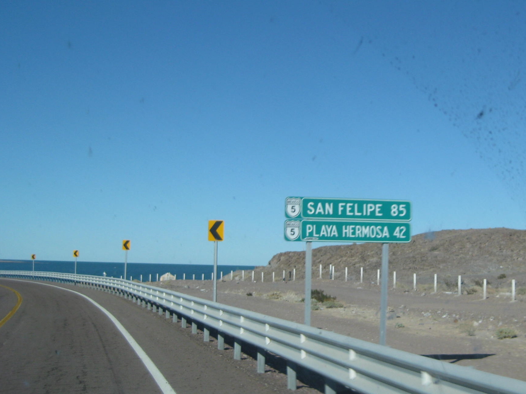
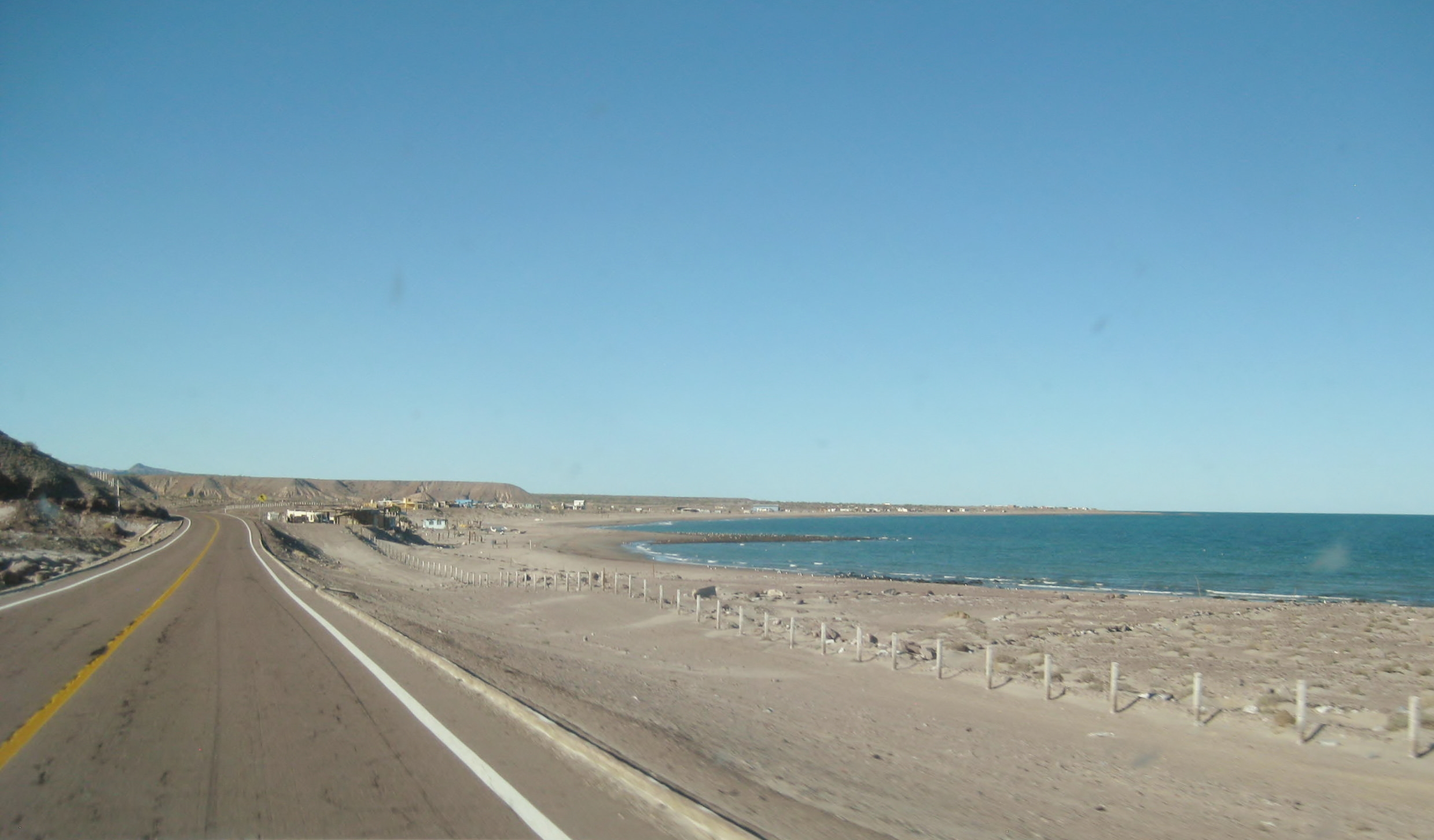
Bahía Asunción, at end of Day 3. All of Day 4, and morning of Day 5:
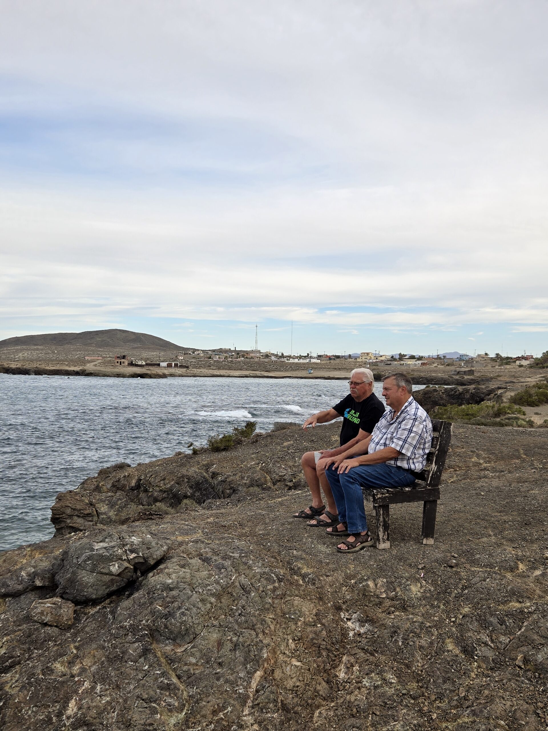
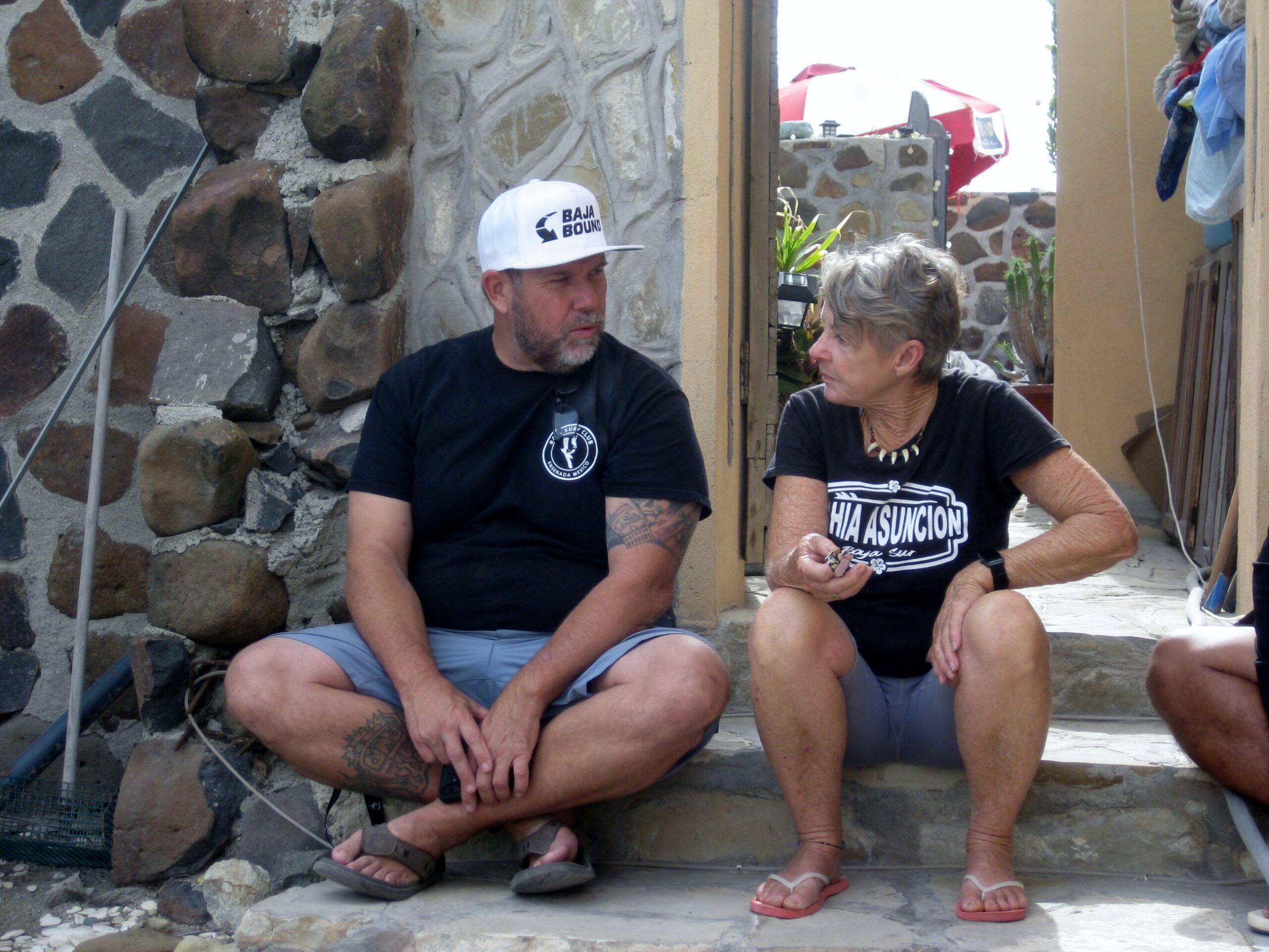
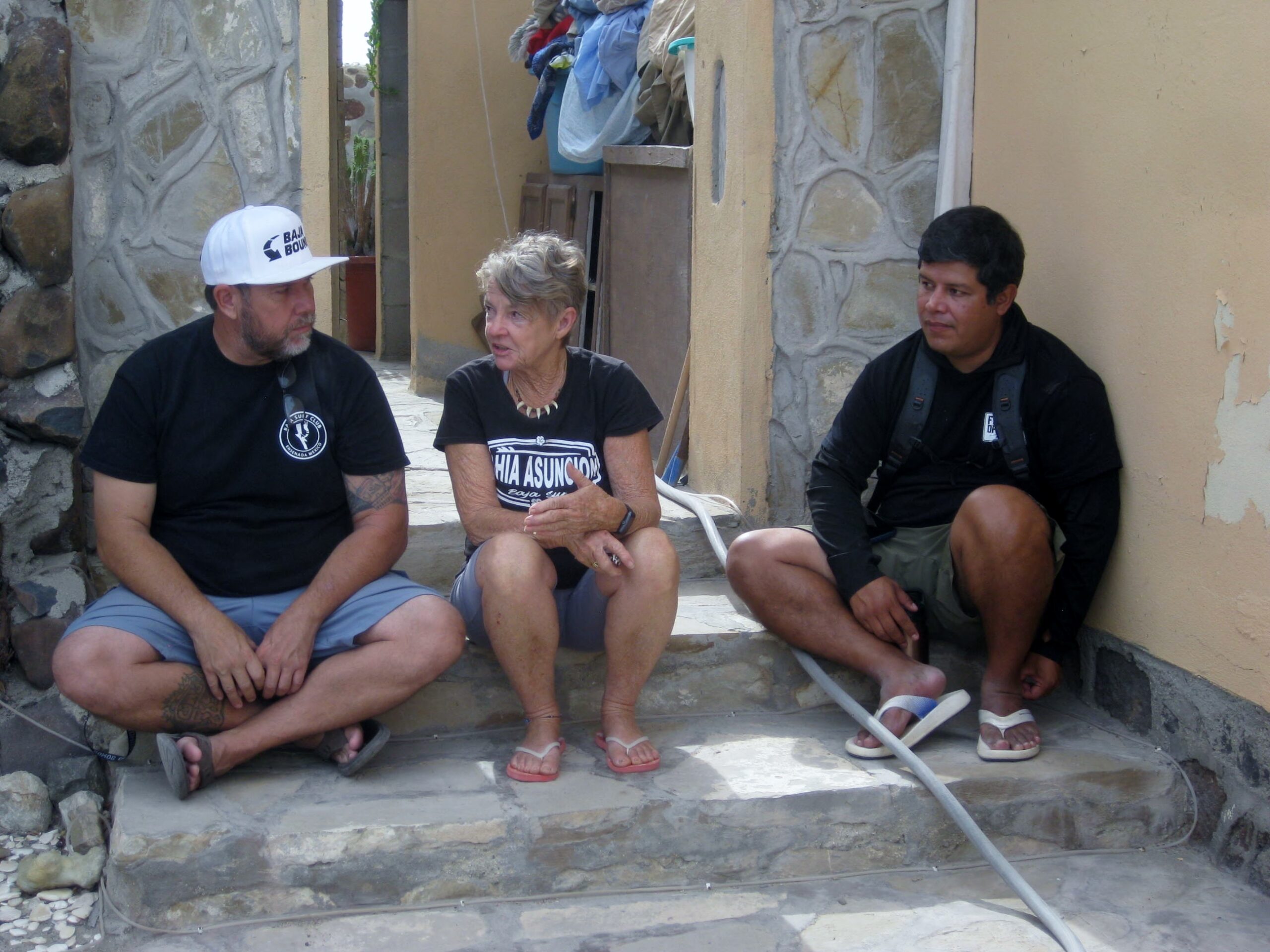
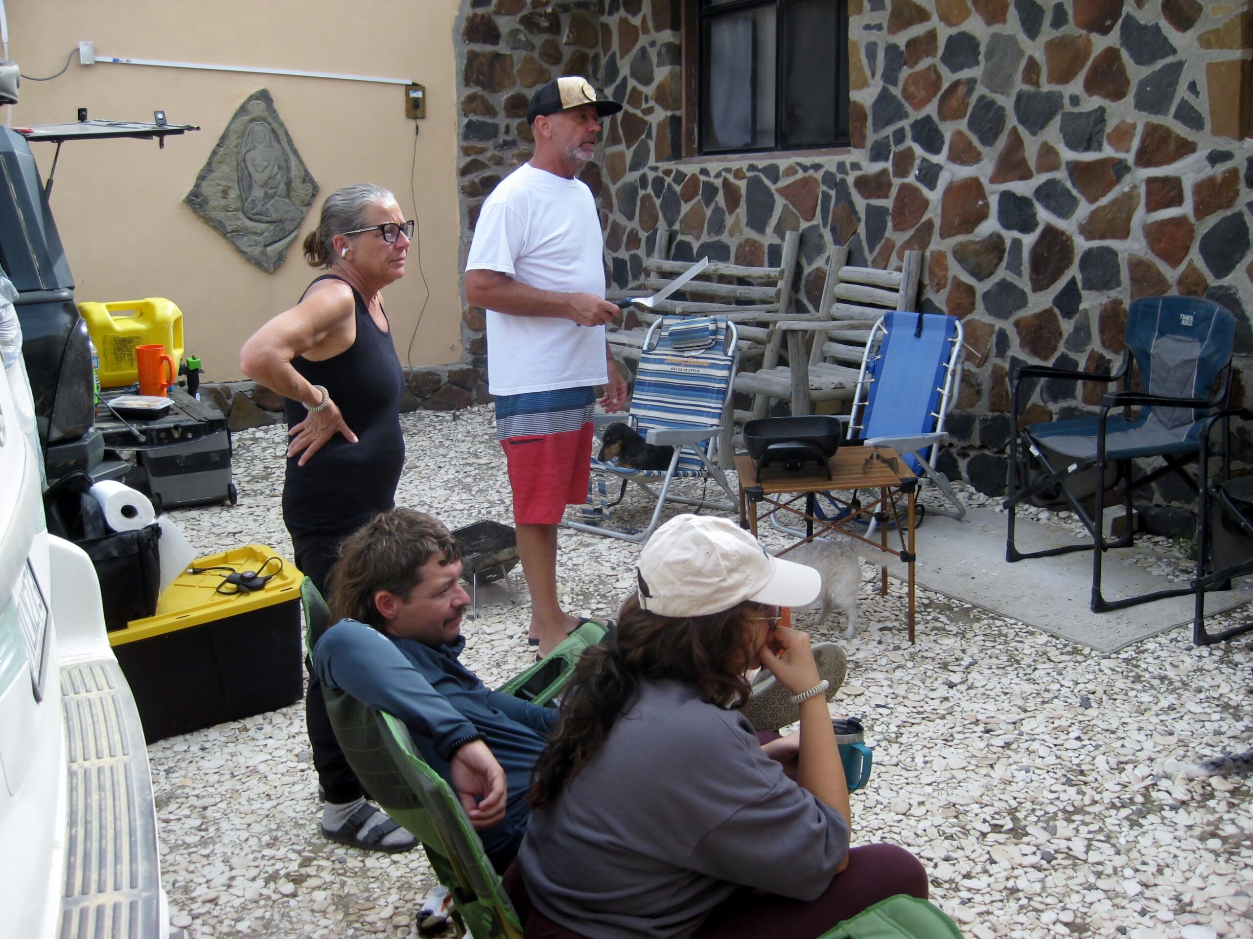
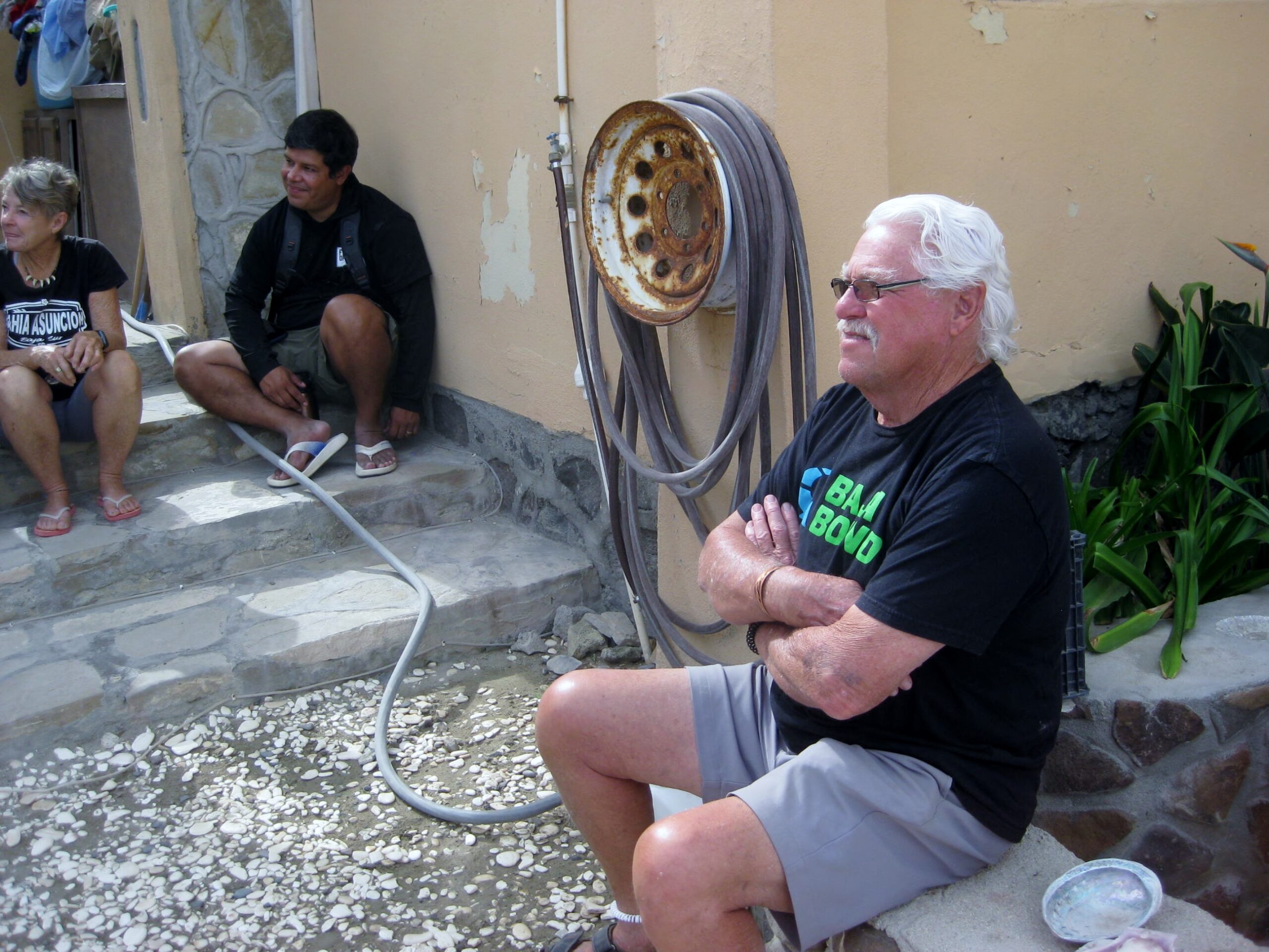
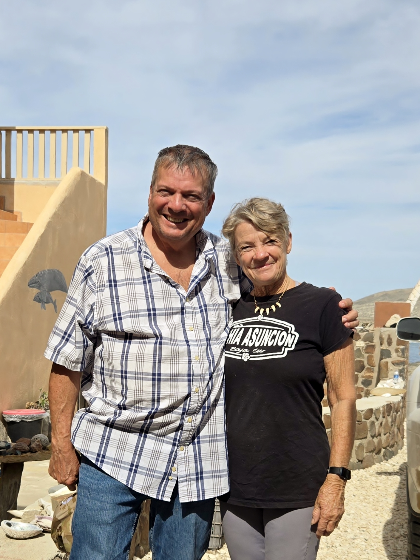
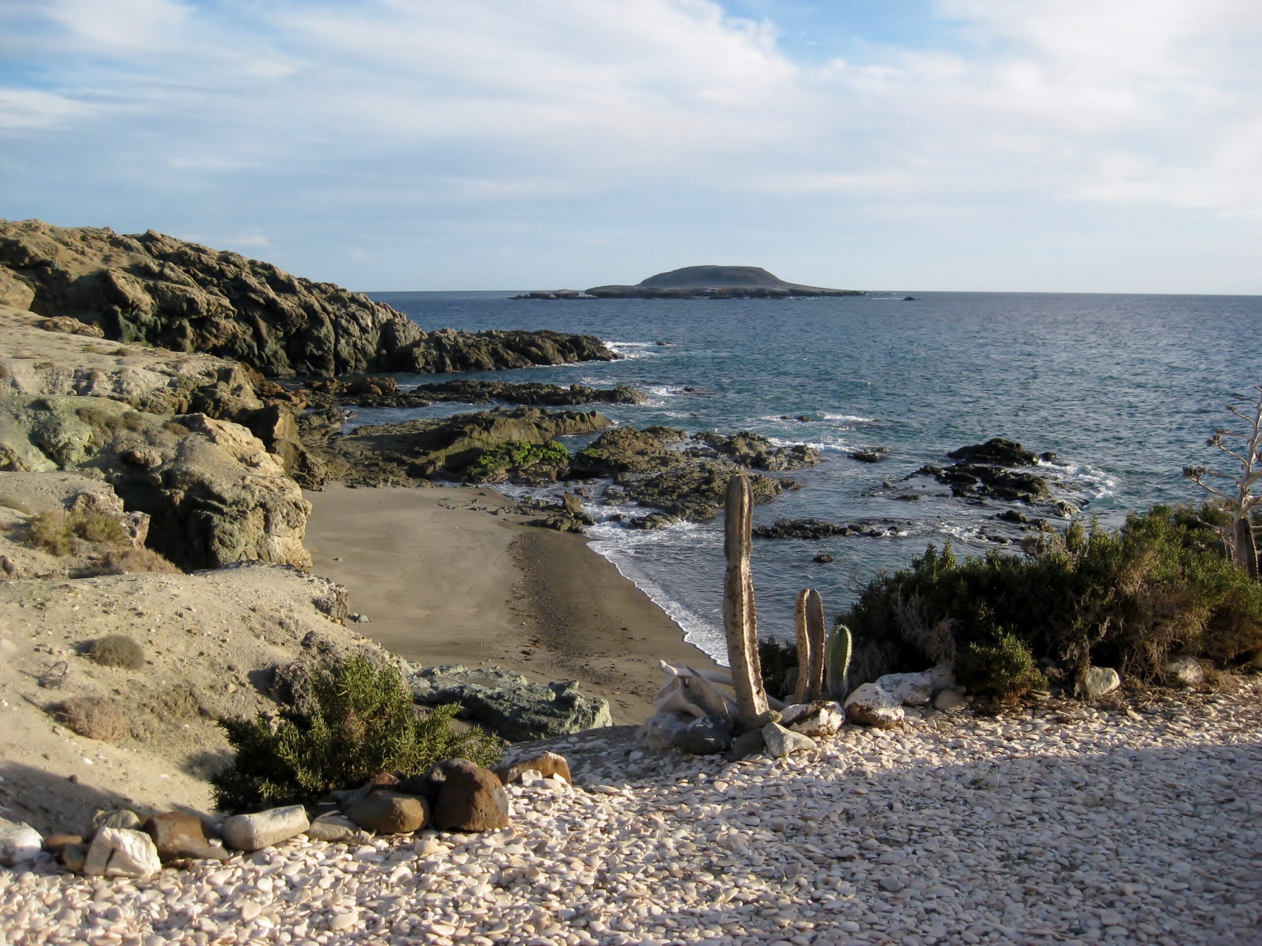
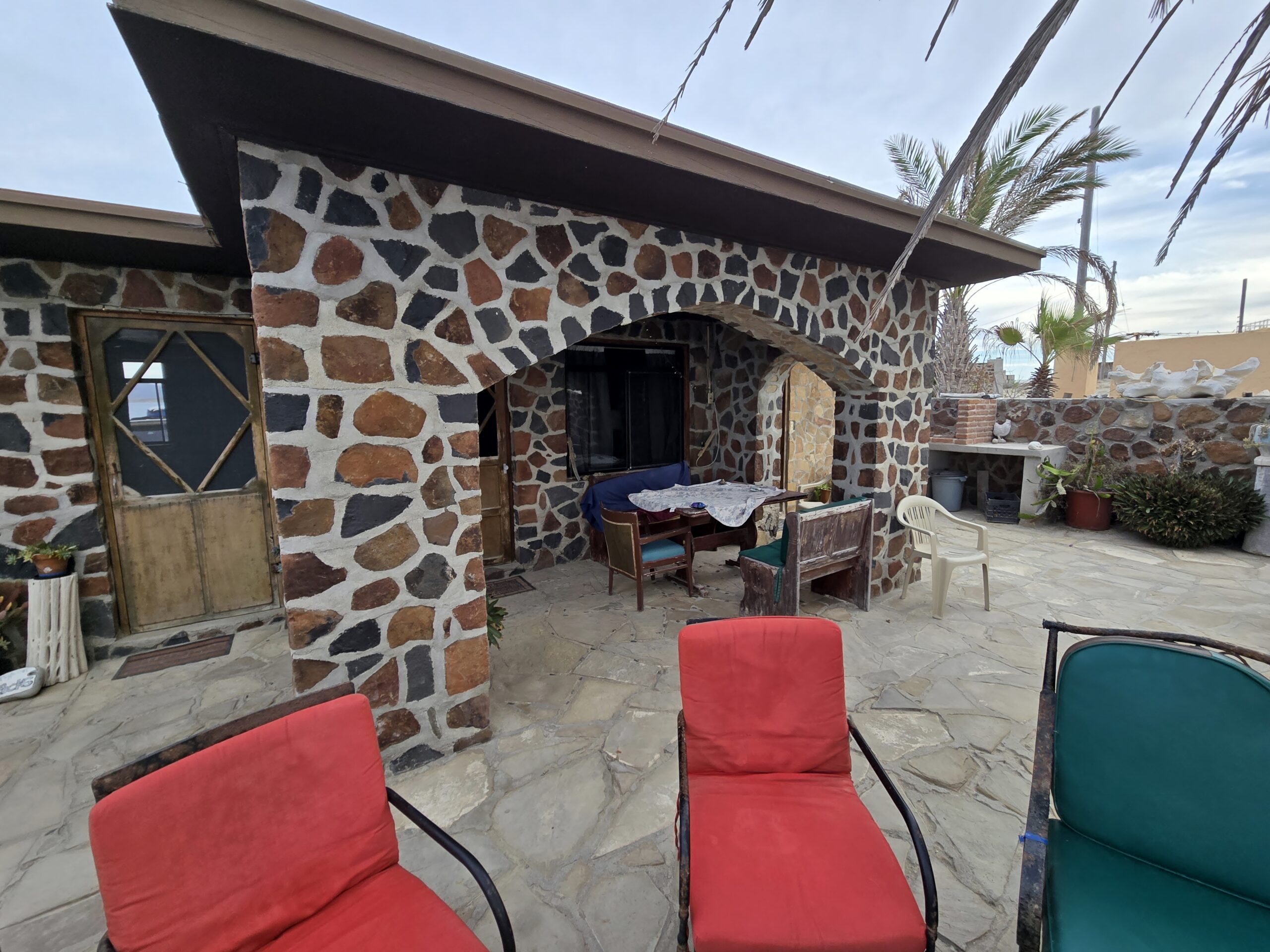
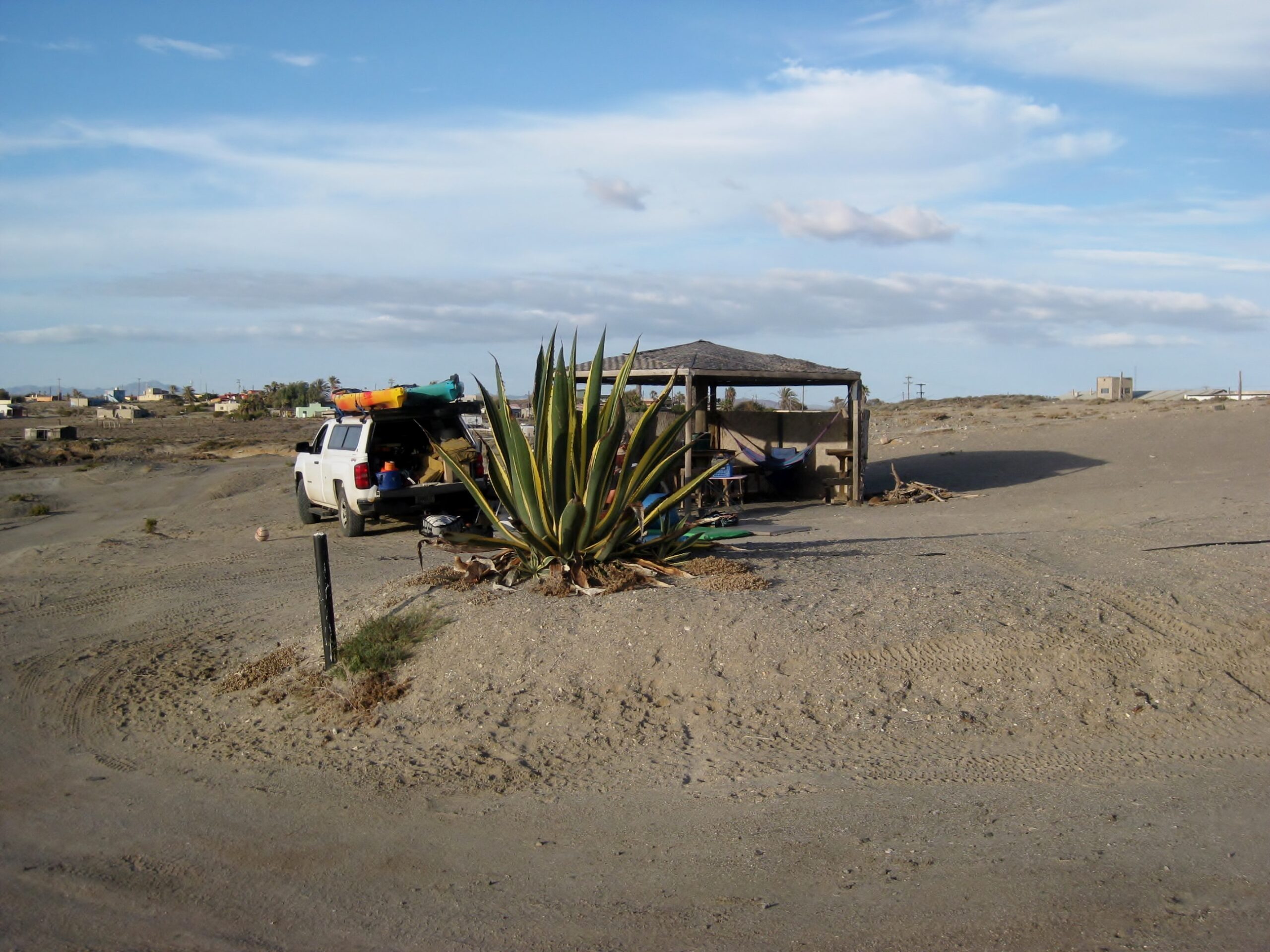
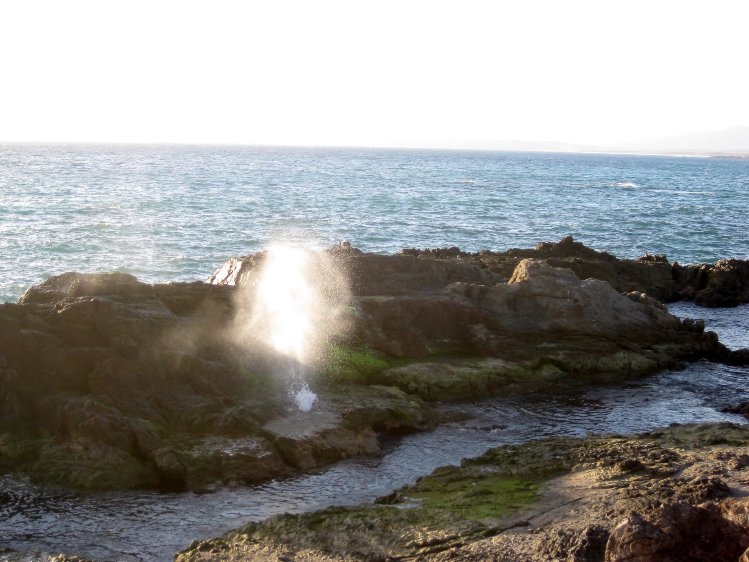
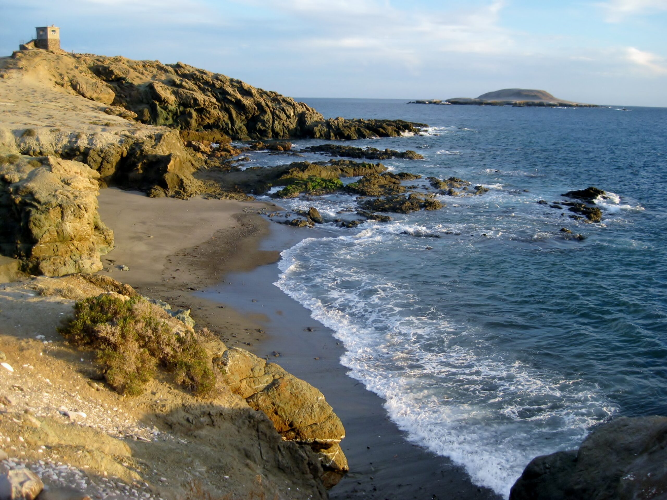
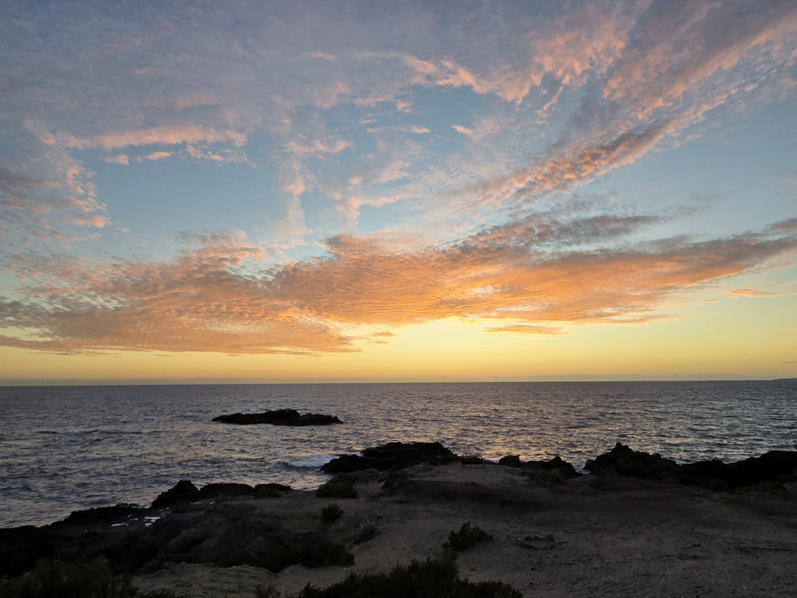
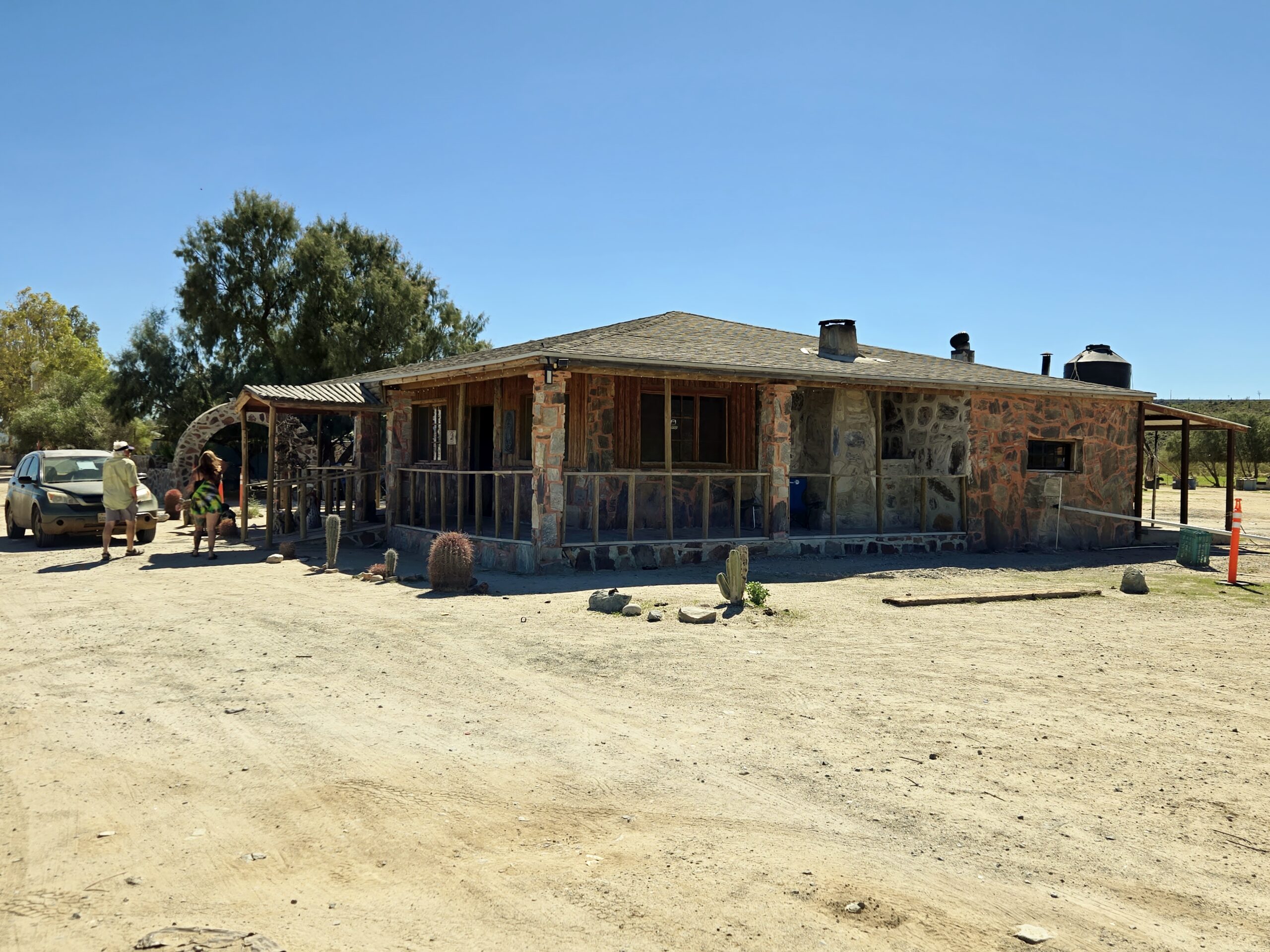
Lamoine and I enjoy the sea view in the morning.Dave and ShariDave, Shari, and Marcos.Standing are Heather and Mike. Sitting is Mike Jr. and Jessica.Lamoine is happy anywhere in Baja, as am I!Lamoine with Shari and her daughter, Sirena. Sirena is visiting from Guerrero Negro where she operates the Baja Magic Hacienda, and Whale Magic Tours with her mom: https://www.whalemagictours.com/A very ragged-looking David Kier (me) and Shari Bondy. The bumps of the past two days had me rest at the Inn on Day 4 while the rest of the group went to the beach, a few miles south.The view from outside my room, at La Bufadora Inn.Outside of the Rock Room, where I have stayed in 2012, 2016, and 2026.This palapa is an option for camping, at the Inn. Another option is to rent this house.‘La Bufadora’ refers to the sea spray created when waves pressurize the passages in the rocks.One more look…Our final evening begins with a great sunset.The morning we left, Day 5. Marcos (in his Suzuki) left the day before to drive to Tijuana to meet his wife at the airport.
10 years ago…
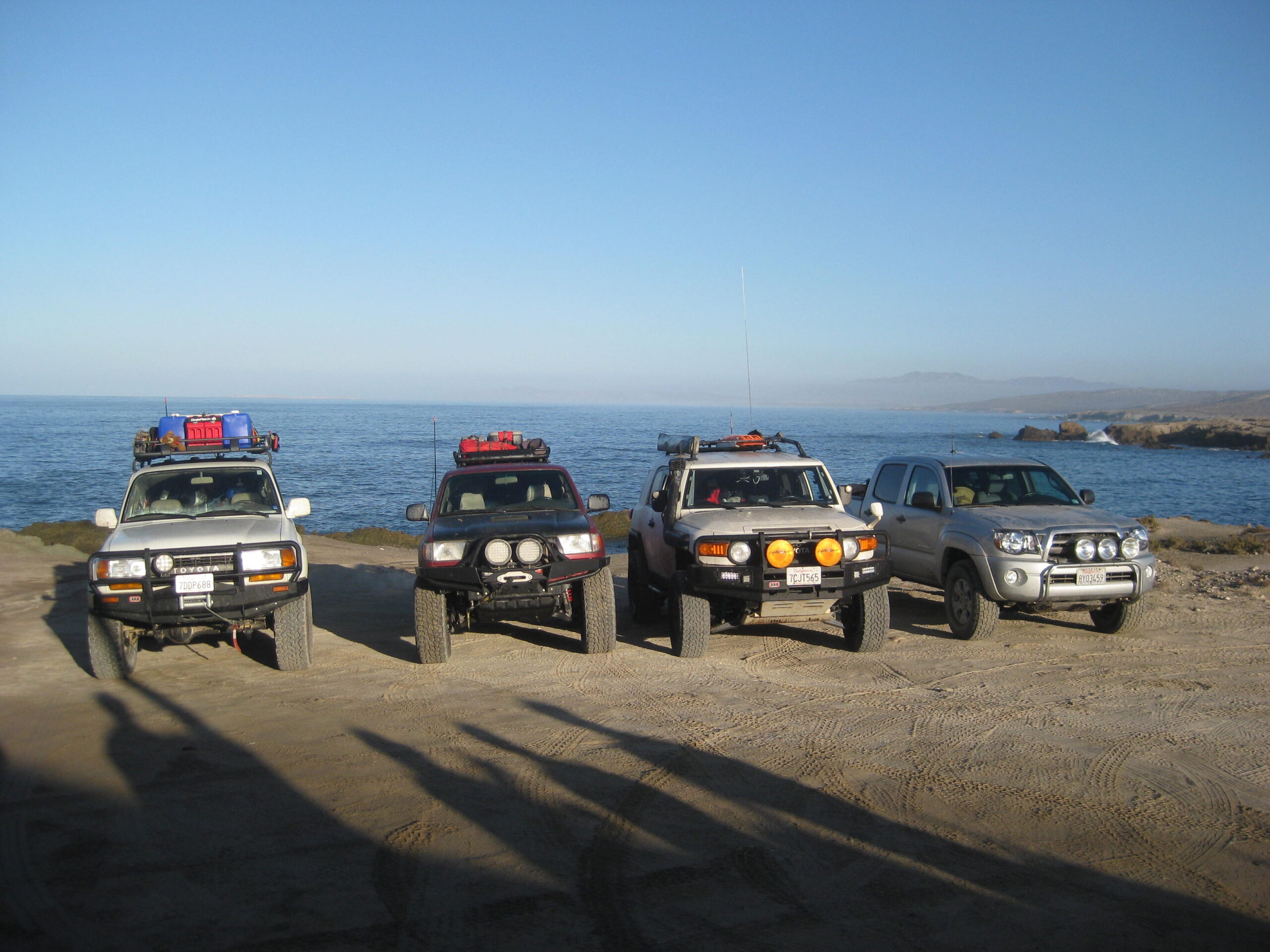
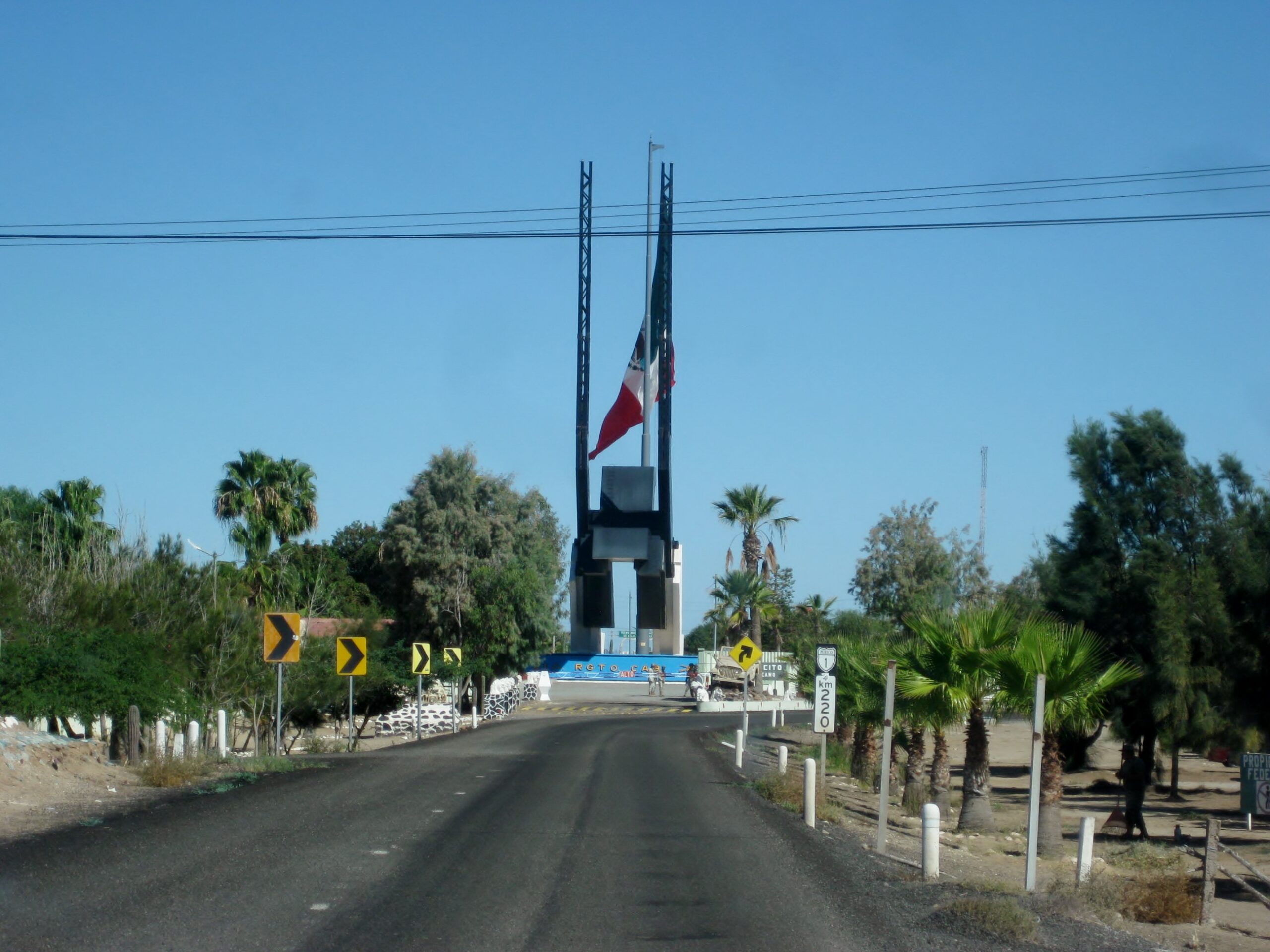
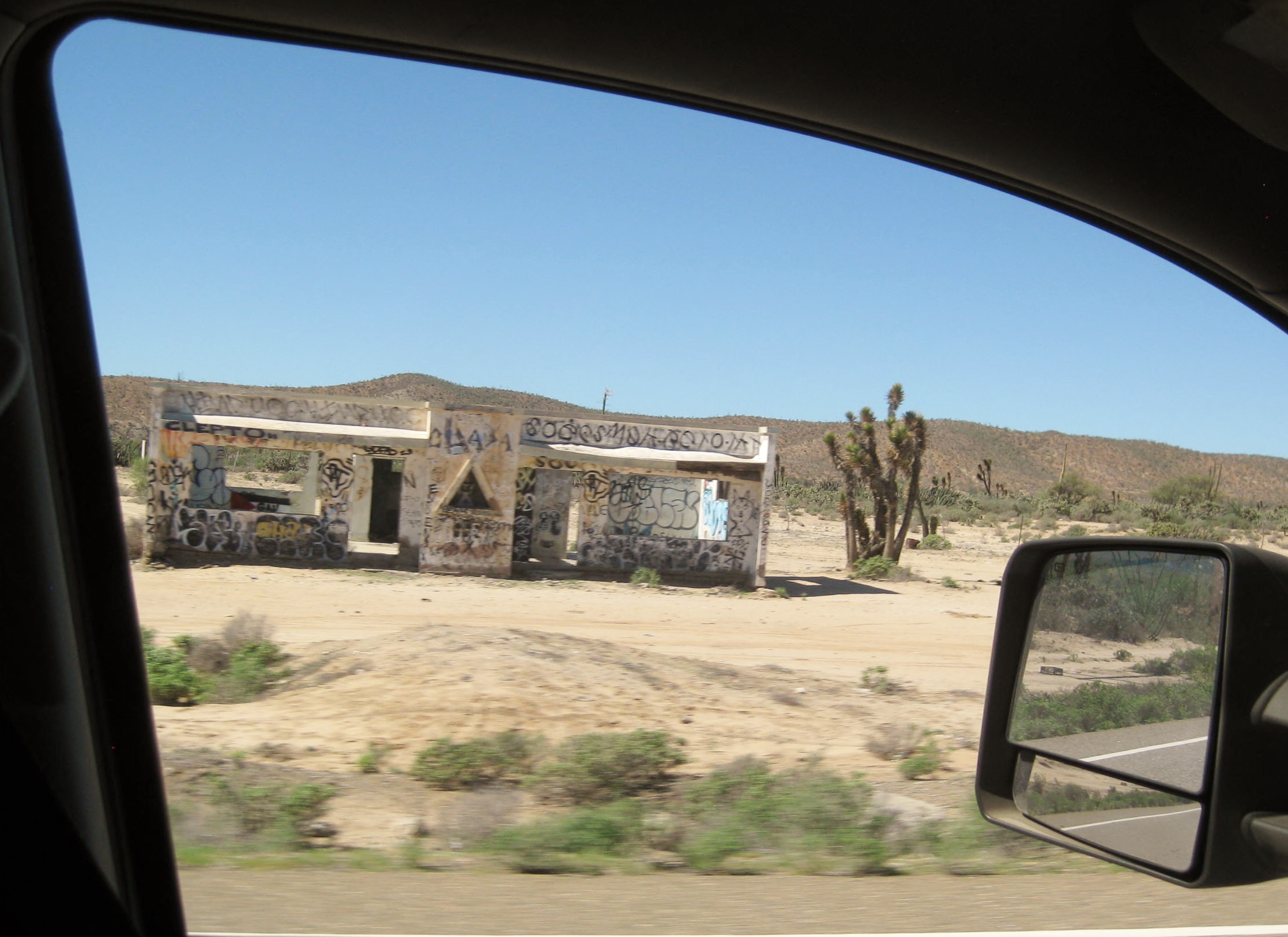
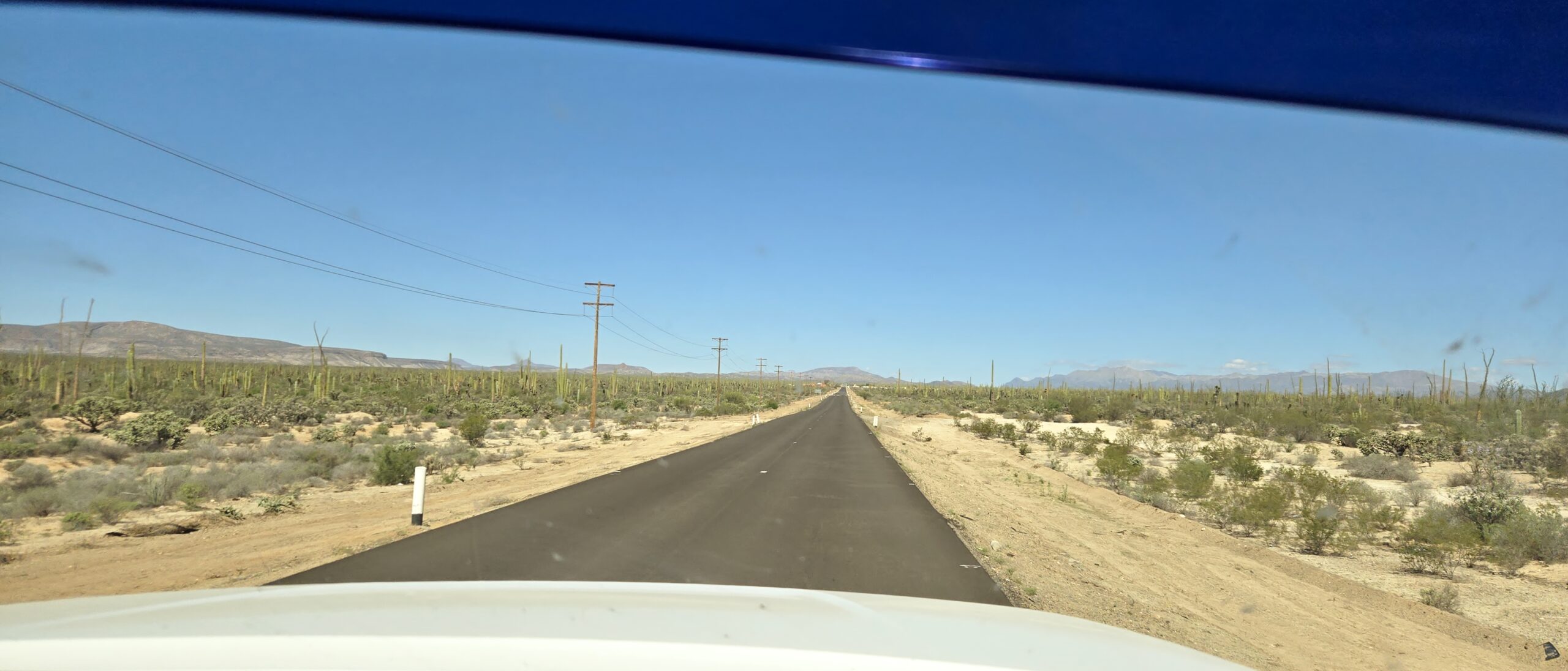
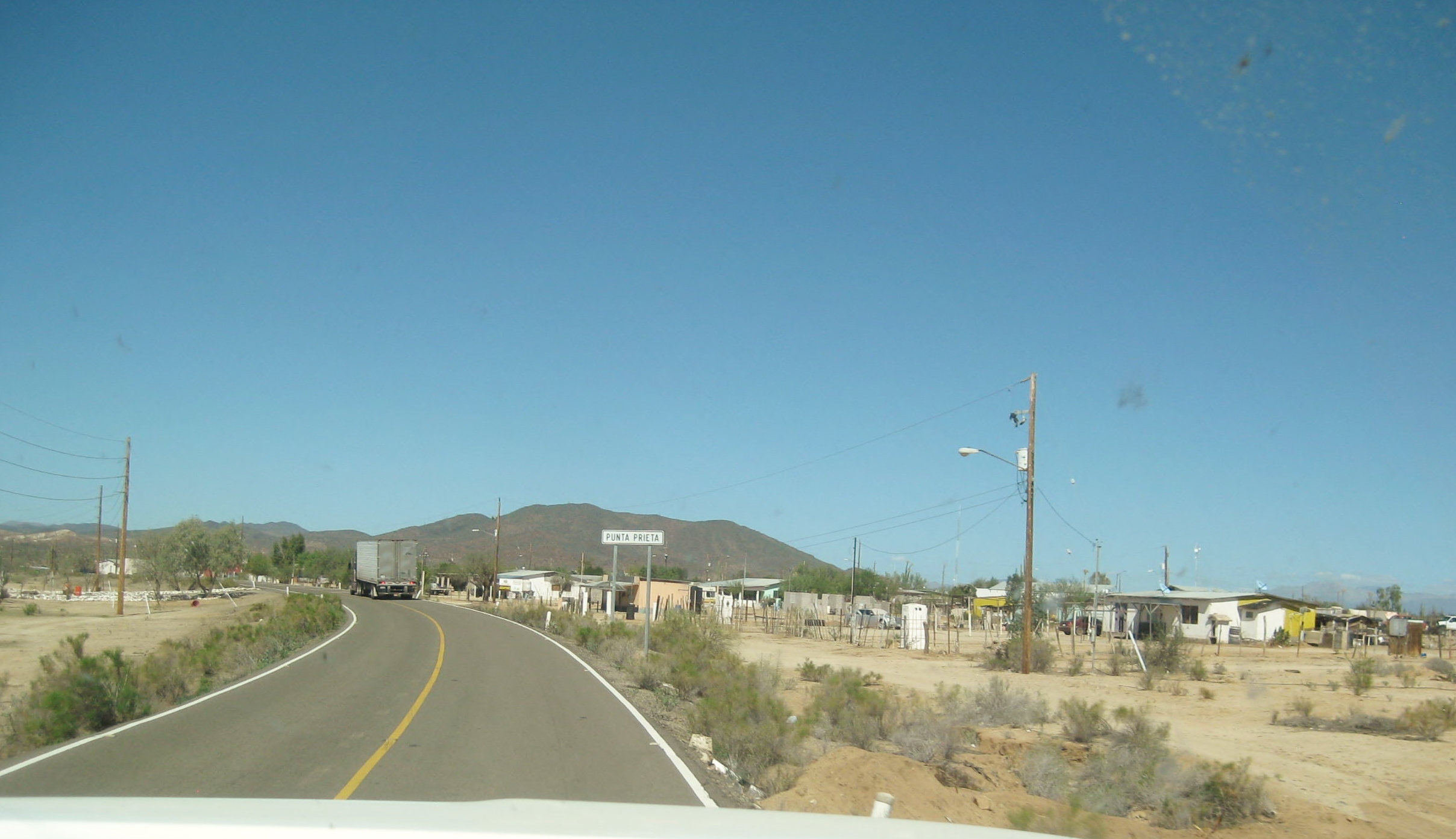
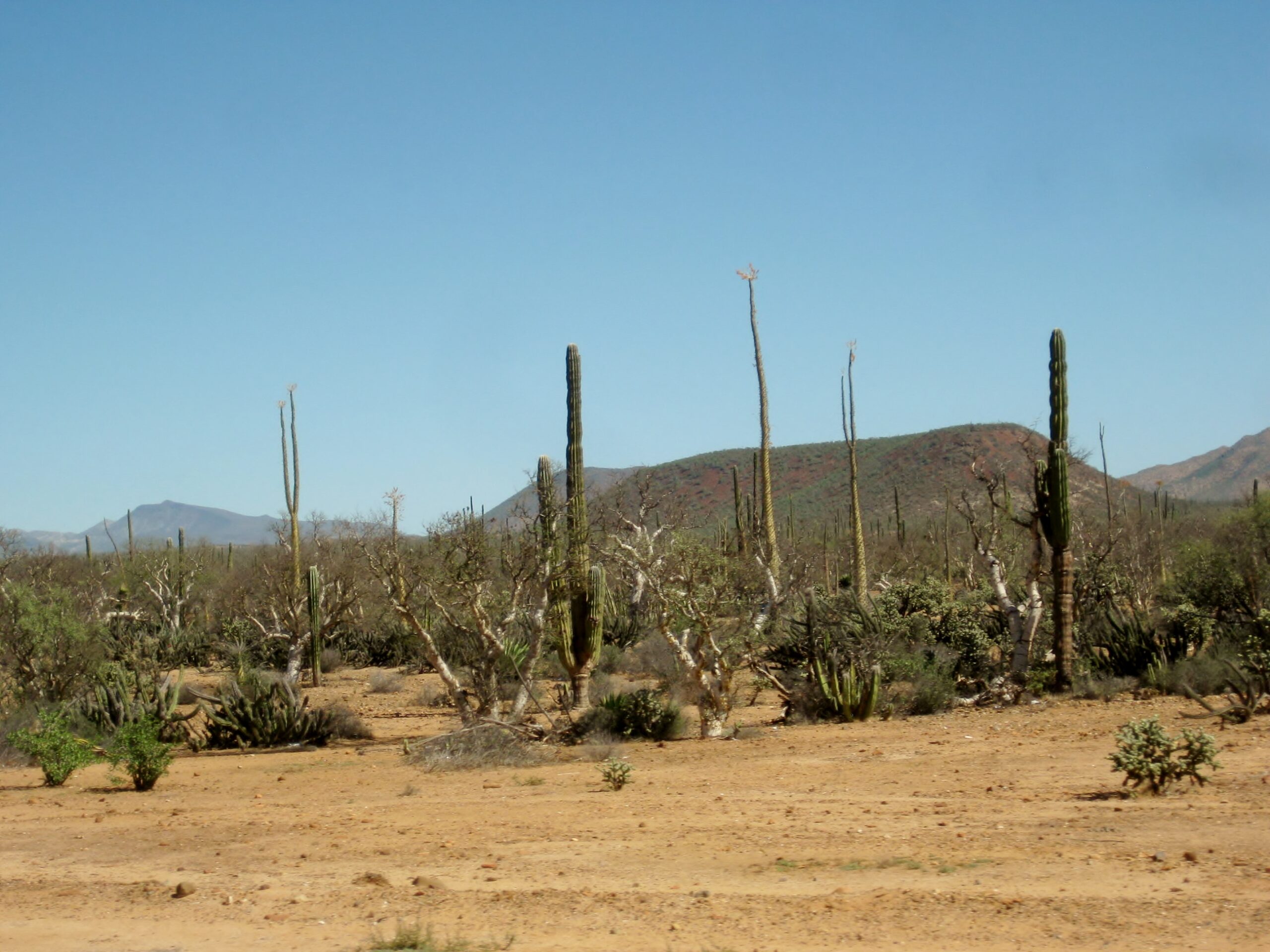
My 2016 Baja Extreme (all Toyota) tour stayed two nights at Shari’s Inn: https://vivabaja.com/p916/Northbound on Day 5 The Eagle Monument/ state border/ 28th Parallel/ Km. 220 from Santa Rosalia.Long abandoned “La Bachata” at Km. 24, with its unique triangle window.Fresh pavement near Punta Prieta.Town of Punta Prieta, Km. 13, which dates back to the gold mines of 100 or more years ago.Can’t get enough of the Baja scenery.Km. 0/Parador Punta Prieta or the junction to Bahía de los Angeles, 8 miles north of the town of Punta Prieta.On the west side is the new Hotel El Parador and restaurant. We stopped there on the last trip and were very impressed. See the photos: https://vivabaja.com/baja-526/View east towards Bahía de los Angeles.
El Crucero, Km. 261: Here is where the old gulf road joined the transpeninsular road before 1983 when a graded road from Laguna Chapala to Puerto Calamajué was completed offering access to Gonzaga Bay for most cars.
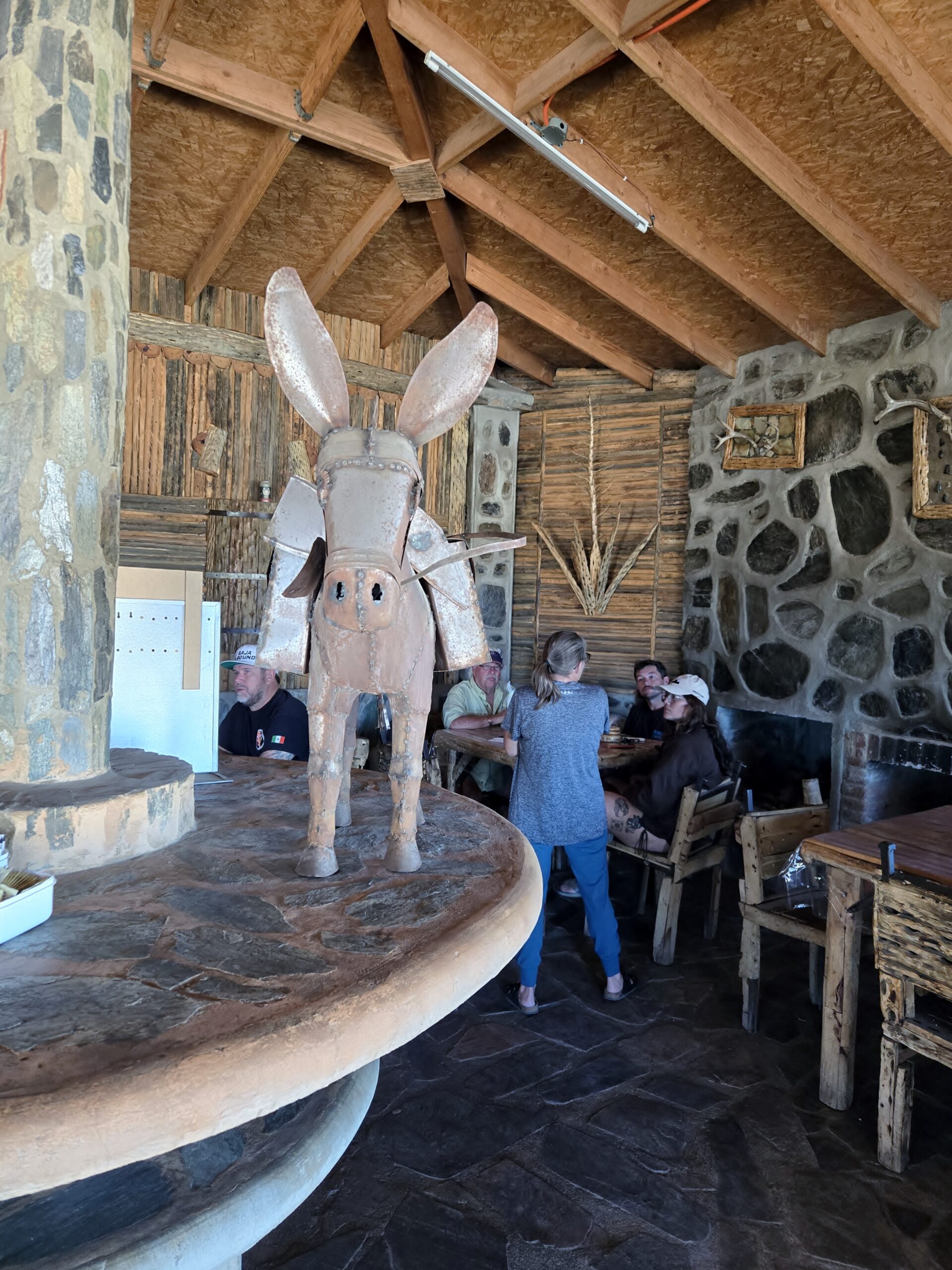
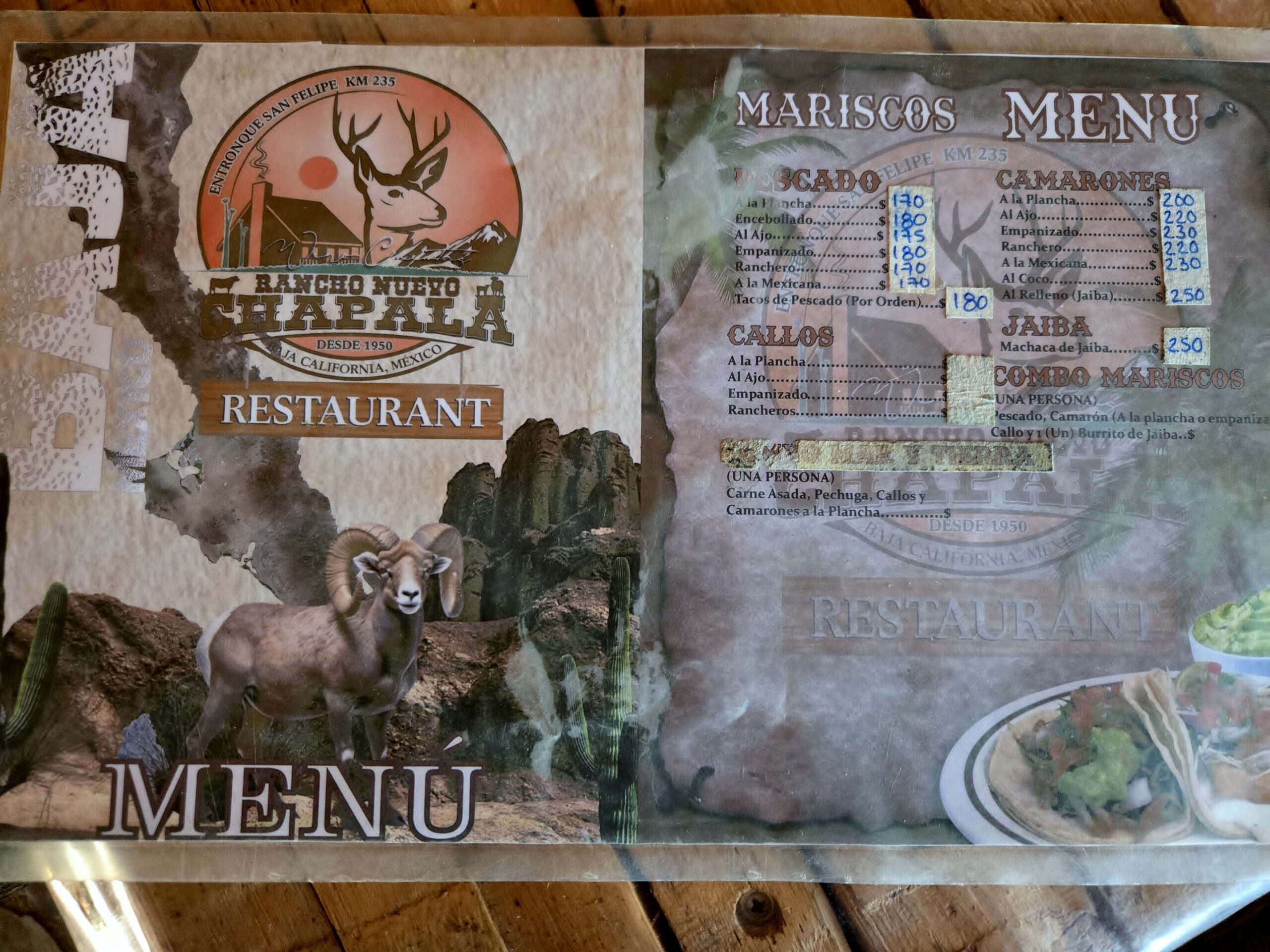
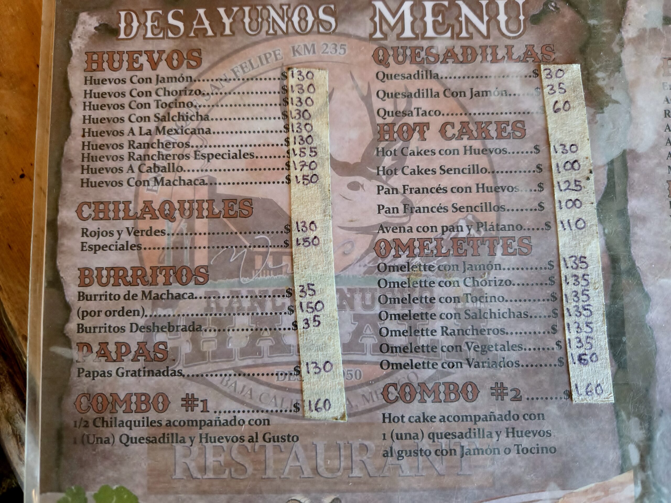
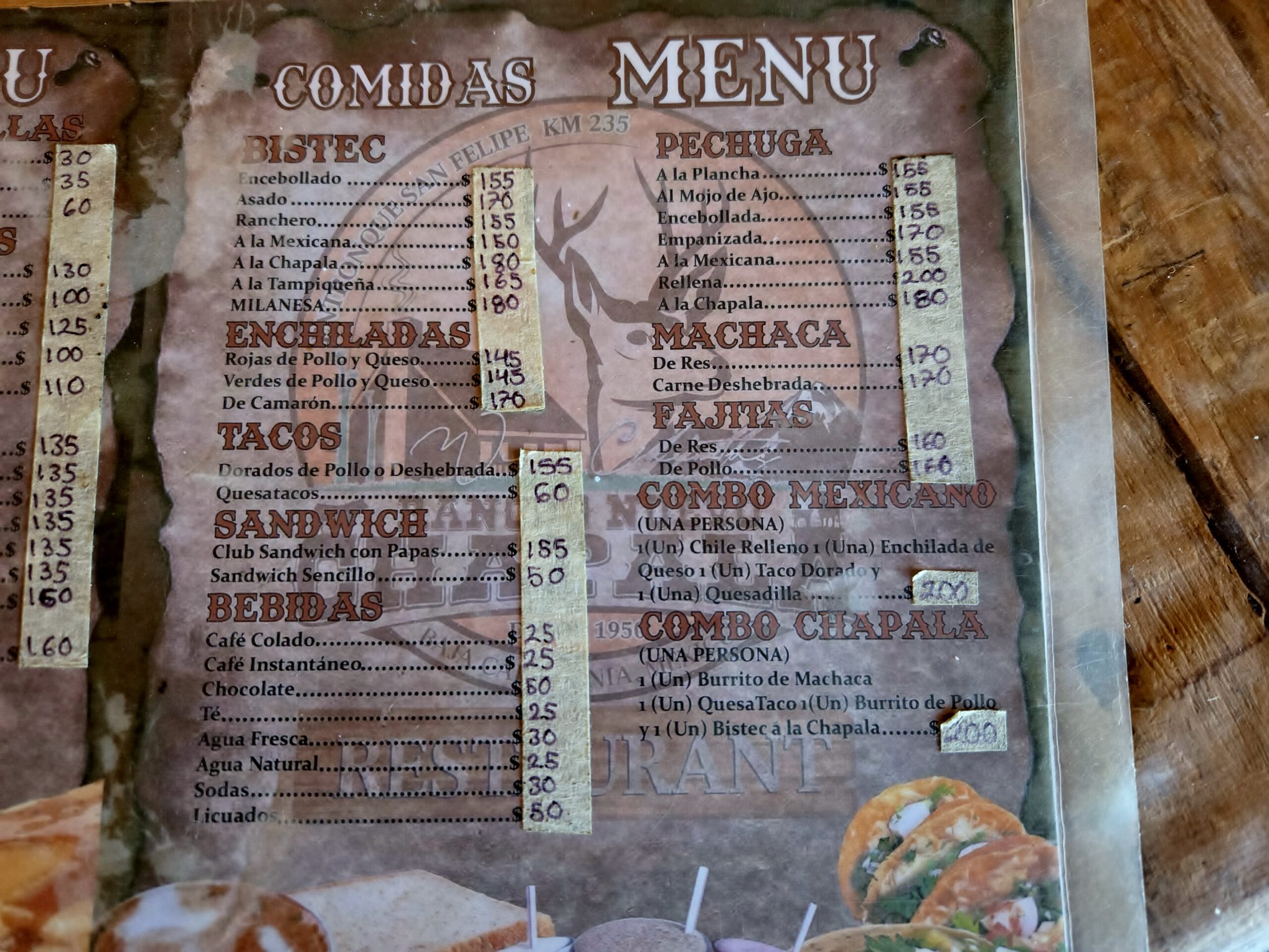
We stop for a good lunch at Rancho Nueva Chapala, Km. 235, near the junction with Mexico #5.
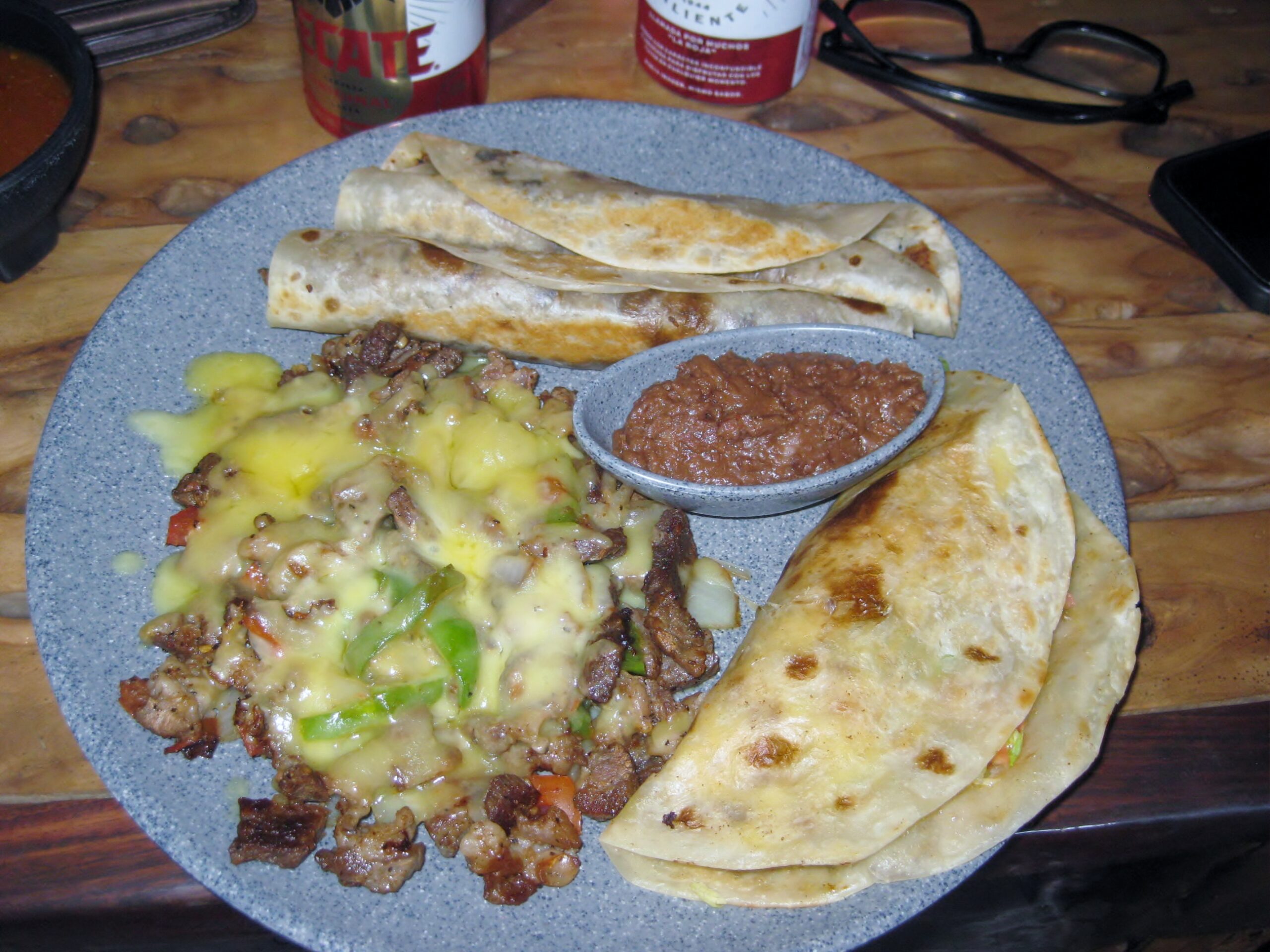
I ordered the Combo Chapala (200 pesos = $11.56): It was fantastic but I could only eat half!
A turn onto Mexico #5 and over the hills rowards Gonzaga Bay we go:
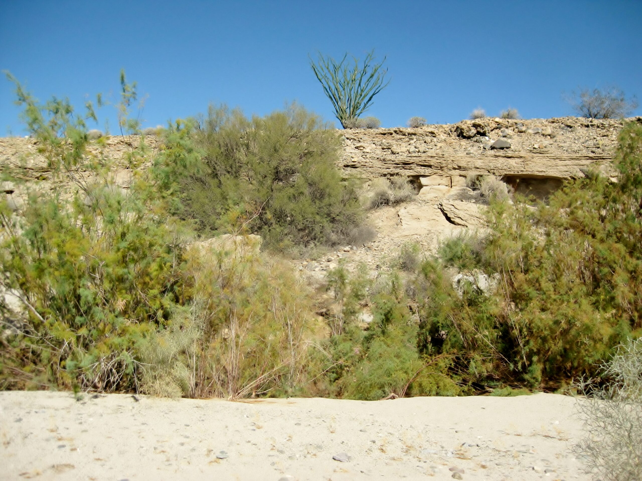
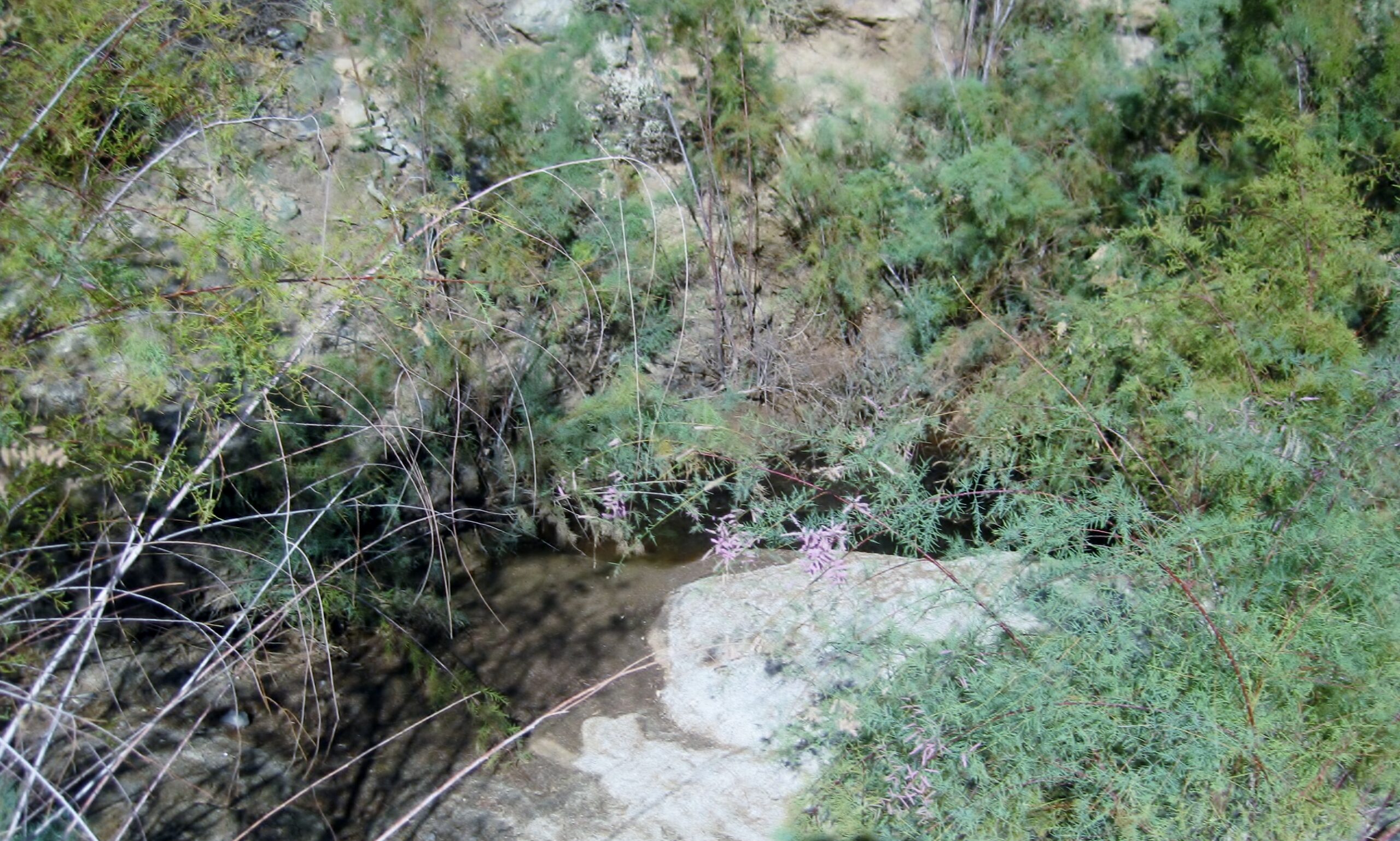
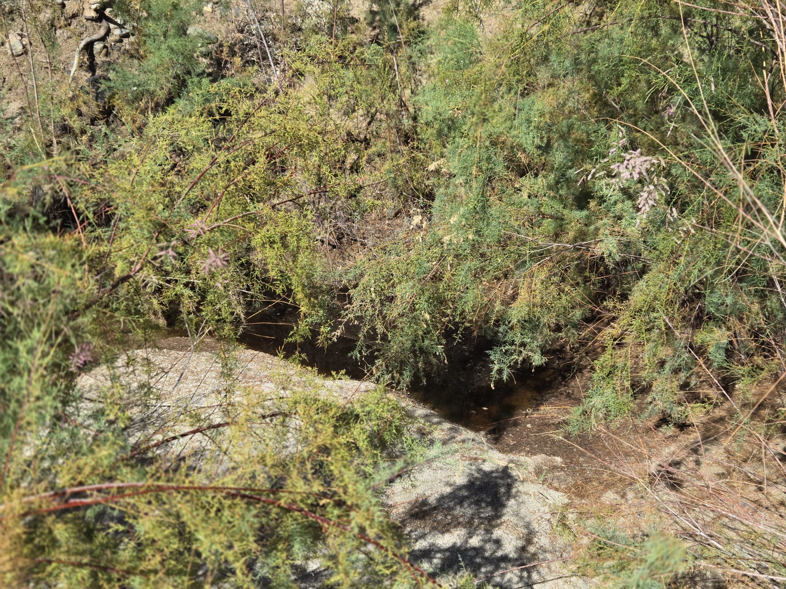
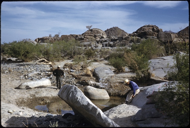
A stop is made at Pozo de San Francisquito, a waterhole on the Camino Real between Calamajué and Mission Santa María. Junípero Serra stopped for the night here during his 1769 expedition to San Diego and Alta California. We spent some time here in 2025 and made comparison photos to ones taken in 1959. See and read more about this place: https://vivabaja.com/pozo-san-francisquito/
The spring is along the left bank of this arroyo. Highway 5 around Km. 179 is over to the left.Look in there.Water in the desert!
In 1959, Howard Gulick photographed the spring, north of where it is now:
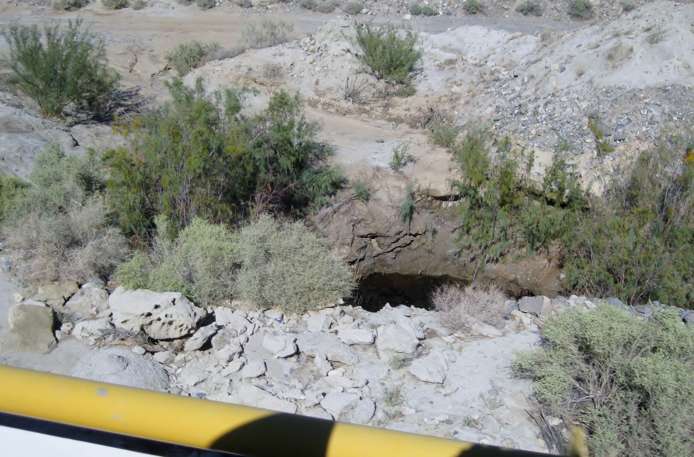
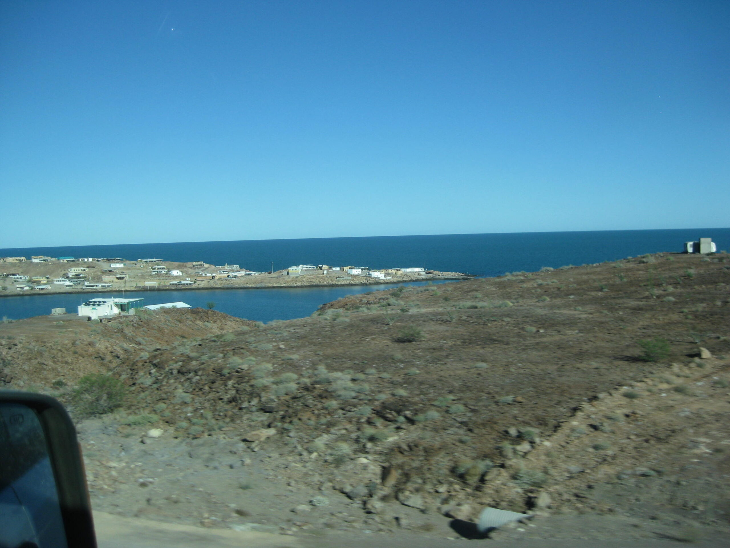
Where we pulled off the highway and began the short walk. Just south of the bridge in the next photo (see it above, also).Just north, is a highway bridge (~Km. 178.5) and looking down is also the water table, exposed by construction here. In the desert there is water underground. How far down is the key. Coyotes can smell it and will dig to the water, creating “coyote wells.” The site of Okie Landing, a fish camp from 1959 to 1969. See more: https://vivabaja.com/okie-landing/Puertecitos, as seen from the highway.
The closed Puertecitos gas station is down there.
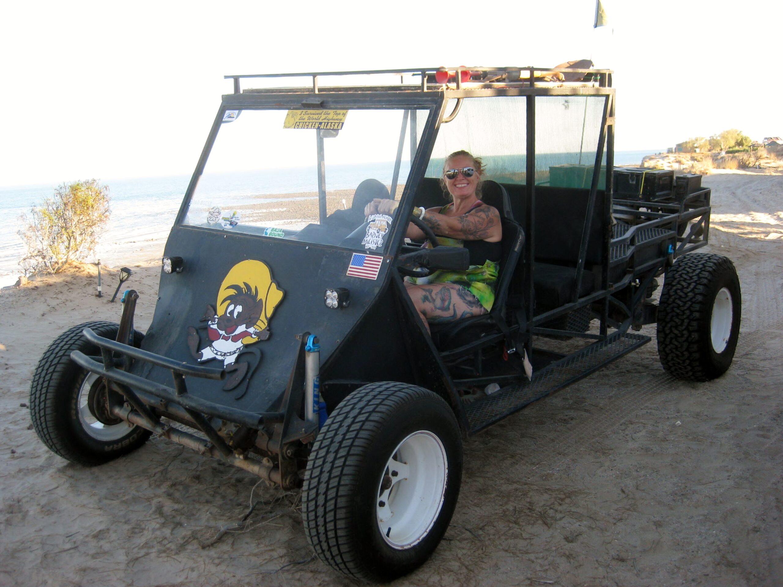
April driving the Barney Car
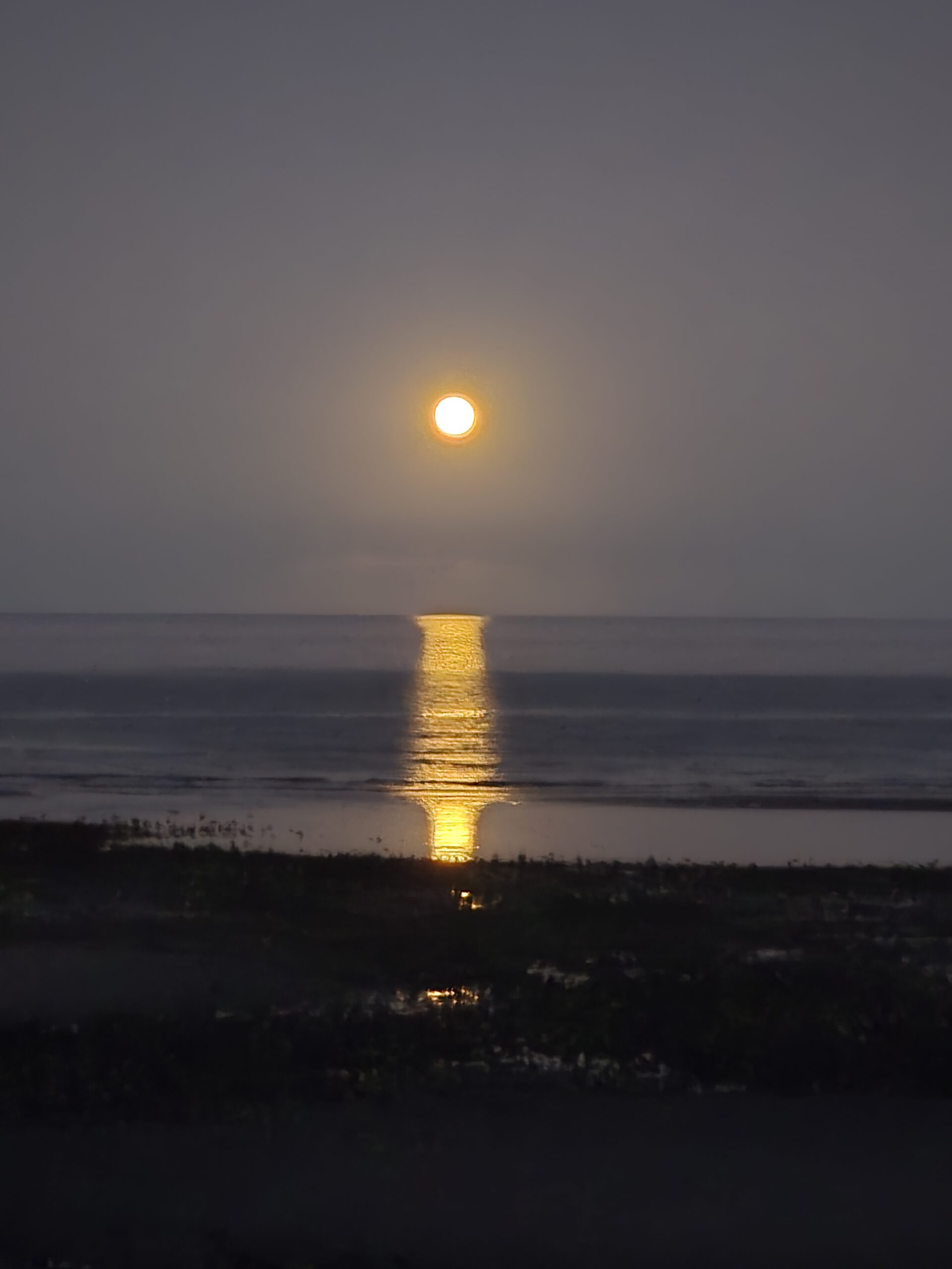
Moonrise over “Lake Cortez” a local term for the Gulf of California/ Sea of Cortez
Day 6, Tuesday Oct. 27, 2026
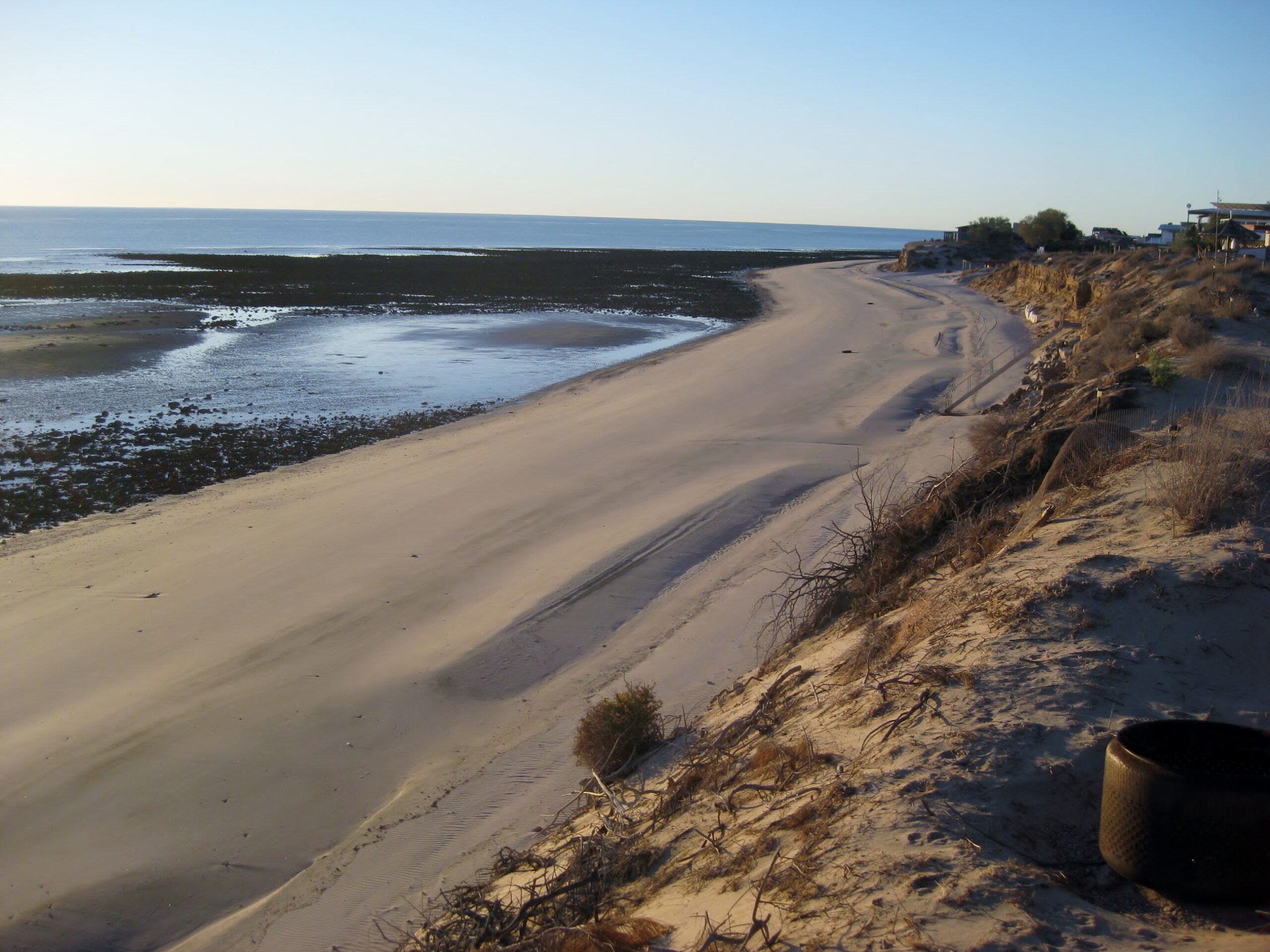
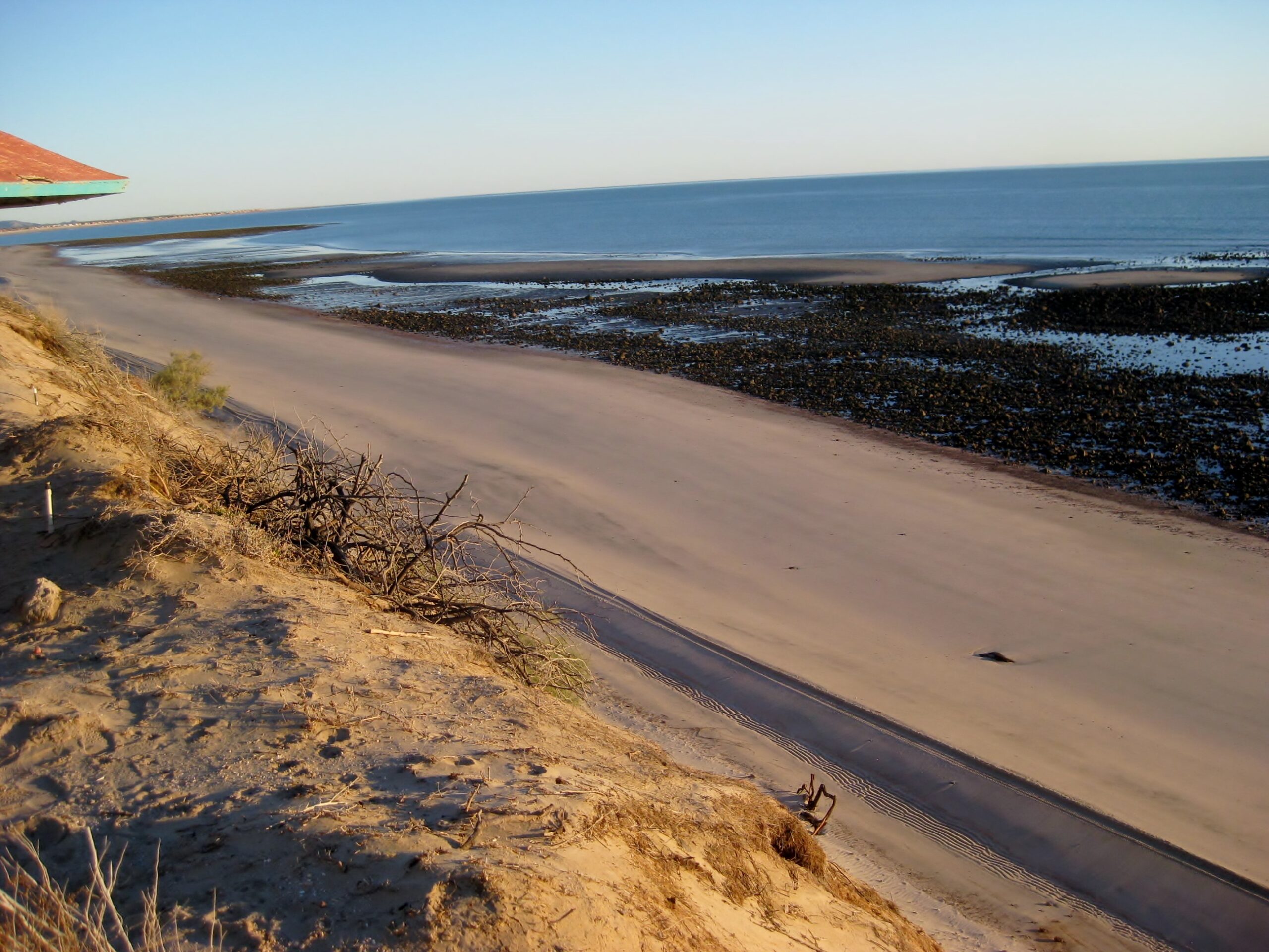
Beautiful morning at low tide from one of the South Campos (majority are from Km. 31-50).
In San Felipe, at the south gas station
23.99 pesos per liter = 90.80 pesos per gallon = $5.25 (dollars)/gallon.Slightly better exchange rate offered than we got at Mexicali (17.30), 5 days earlier.Gassed up and ready to get home!
Baja is a land of history and stories…
35 miles north of San Felipe is El Chinero mountain where in 1902 a party of Chinese laborers, bound for Mexicali, succumbed to the desert heat. Of forty-five men who left San Felipe, only six made it to safety. This mountain is named for them.
The Baja California Missions are fascinating in the shear effort that went into creating them (1697-1834) in this harsh land. See them and read the chapters from my book: https://vivabaja.com/mission-albums/
Stay in touch with us in our Facebook Groups and see and read more. Share your Baja love, too: