Baja California is a land of seemingly endless attractions and points of interest.
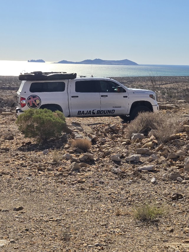
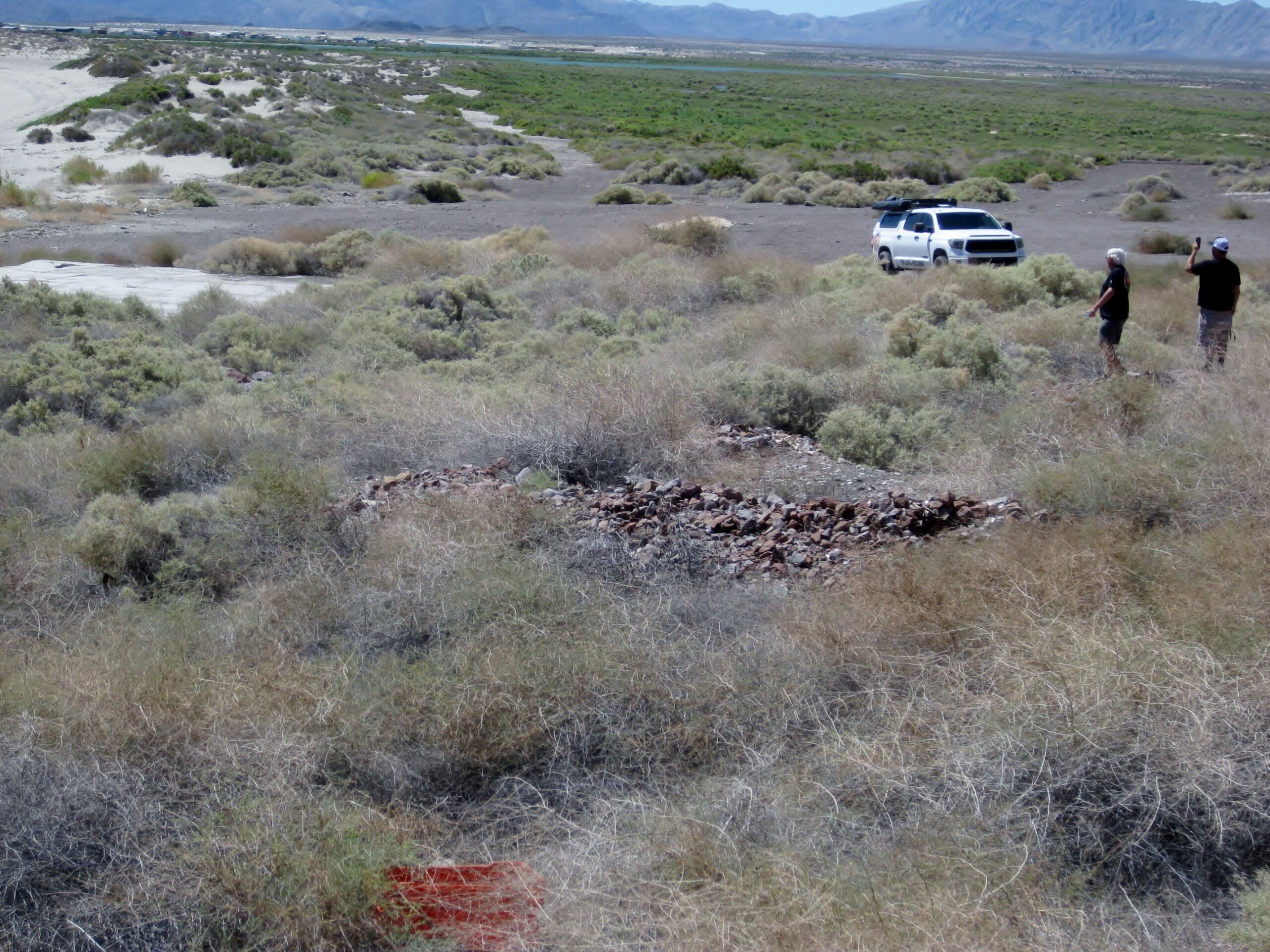
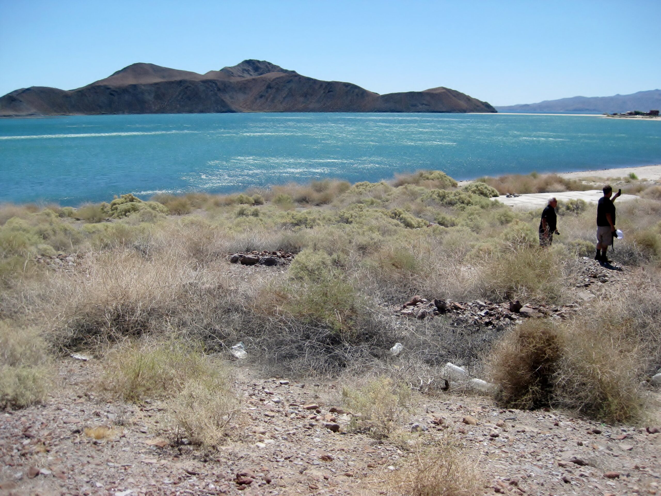
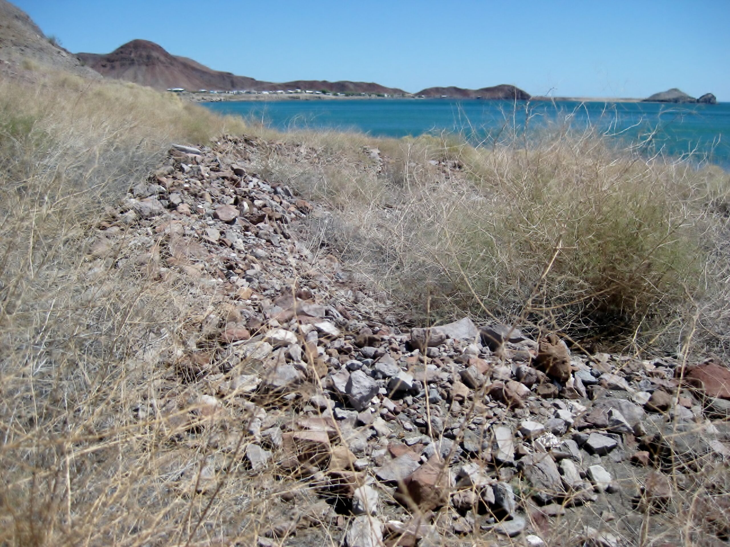
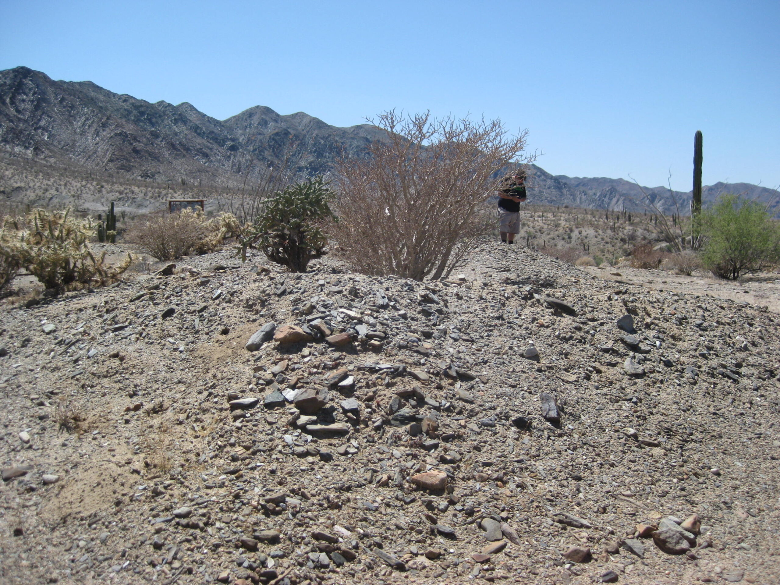
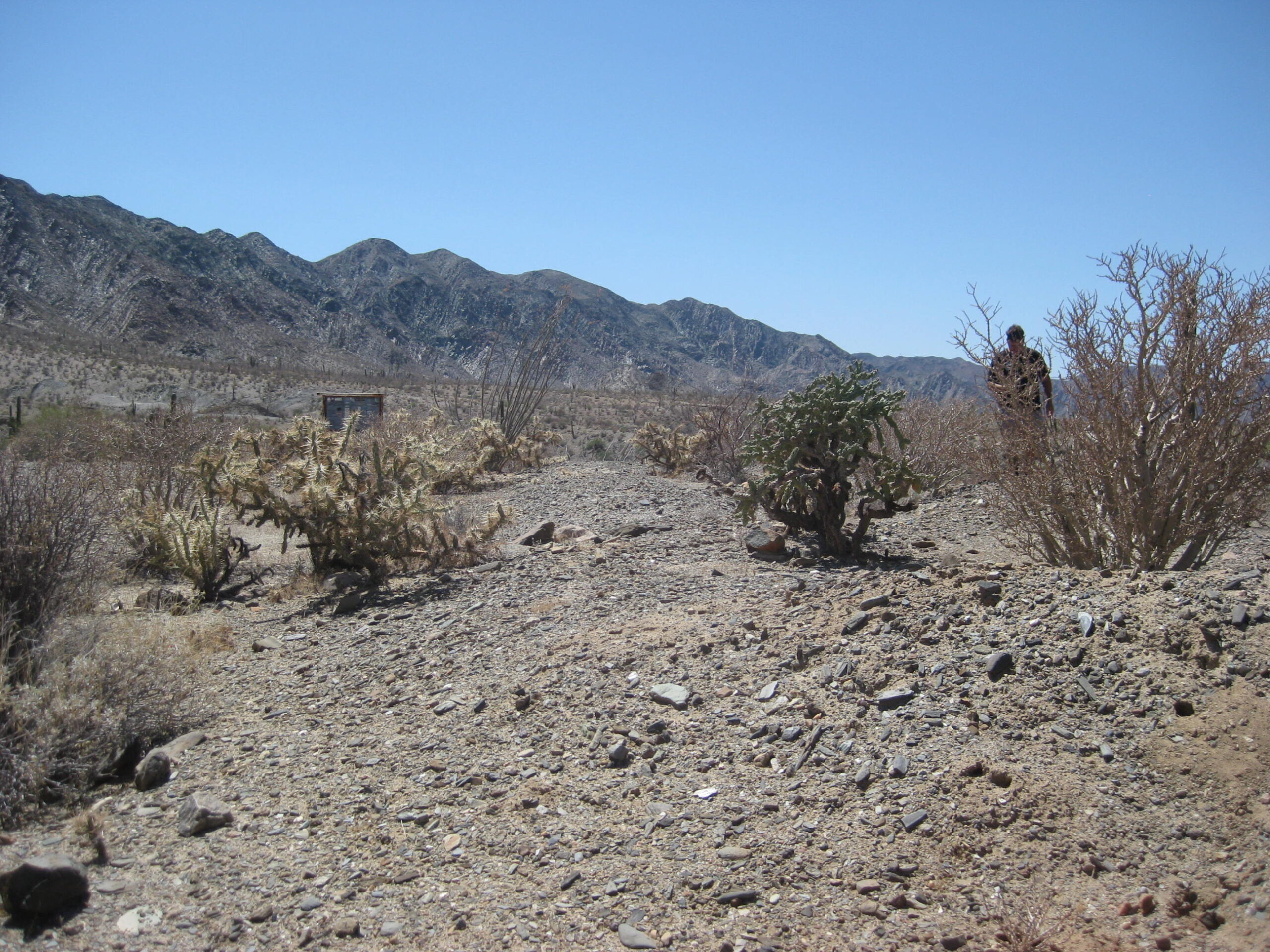
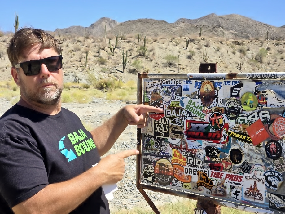
On May 14-18, Dave Wilcher and David Kier traveled to see several sites in the region of San Felipe to Bahía de los Angeles. These are historic or geological sites, most I have visited in the past. Dave wants to see them and experience the thrill of what Baja has to offer. The following photos are of locations we visited, some with old vs new photos to compare. LeMoine Fuller, of the San Felipe South Campos (and Punta Banda) communities joined us. This excursion was sponsored by Baja Bound Insurance and serves as a sampling of reasons to travel the peninsula, in search of fun and adventure.
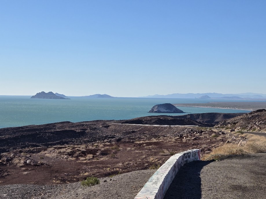
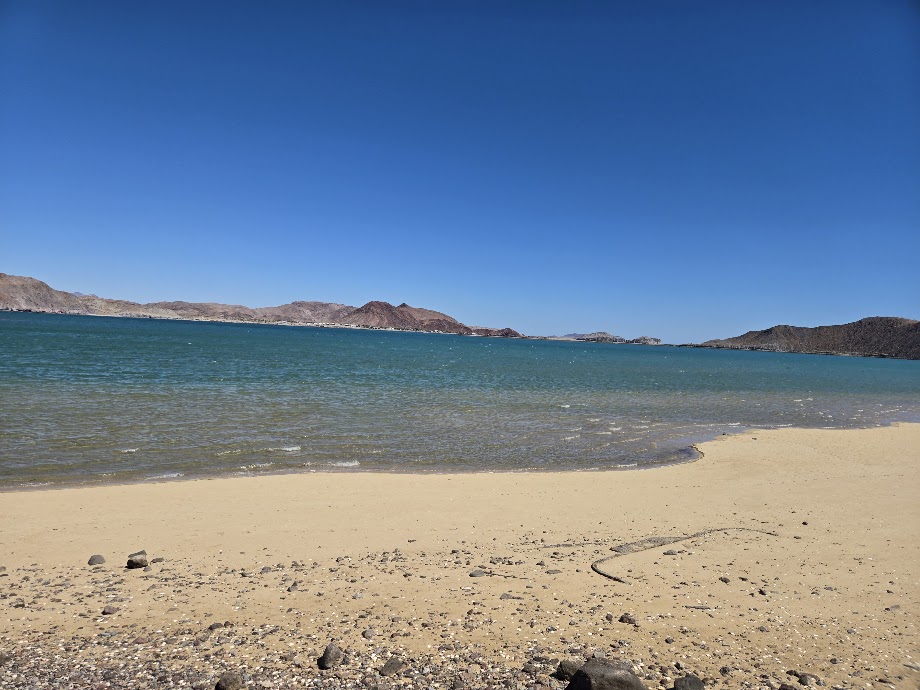
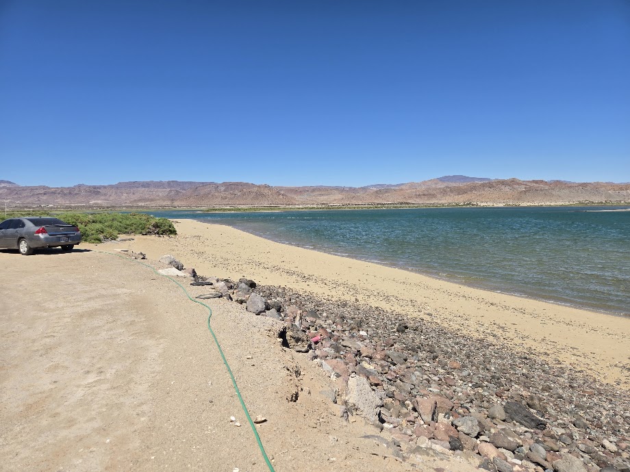
South on Mex. #5, south from San Felipe (Km. 0)
San Judas
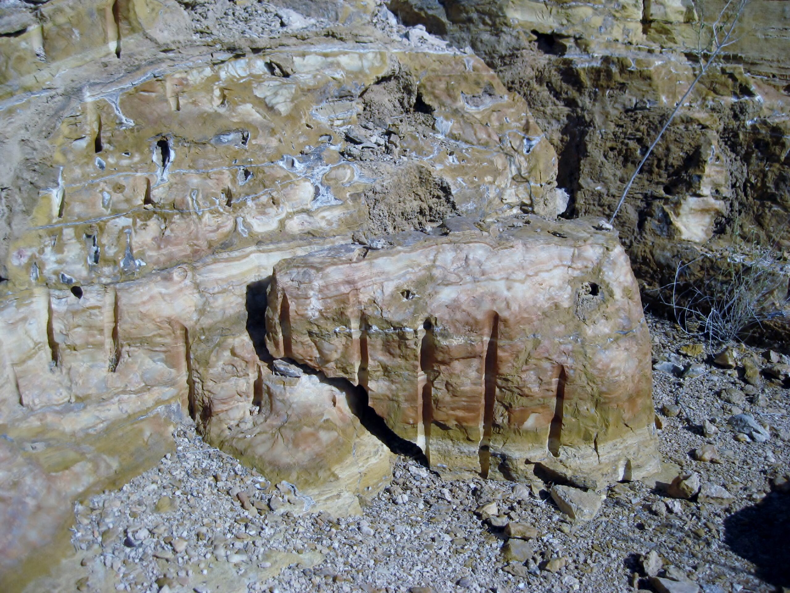
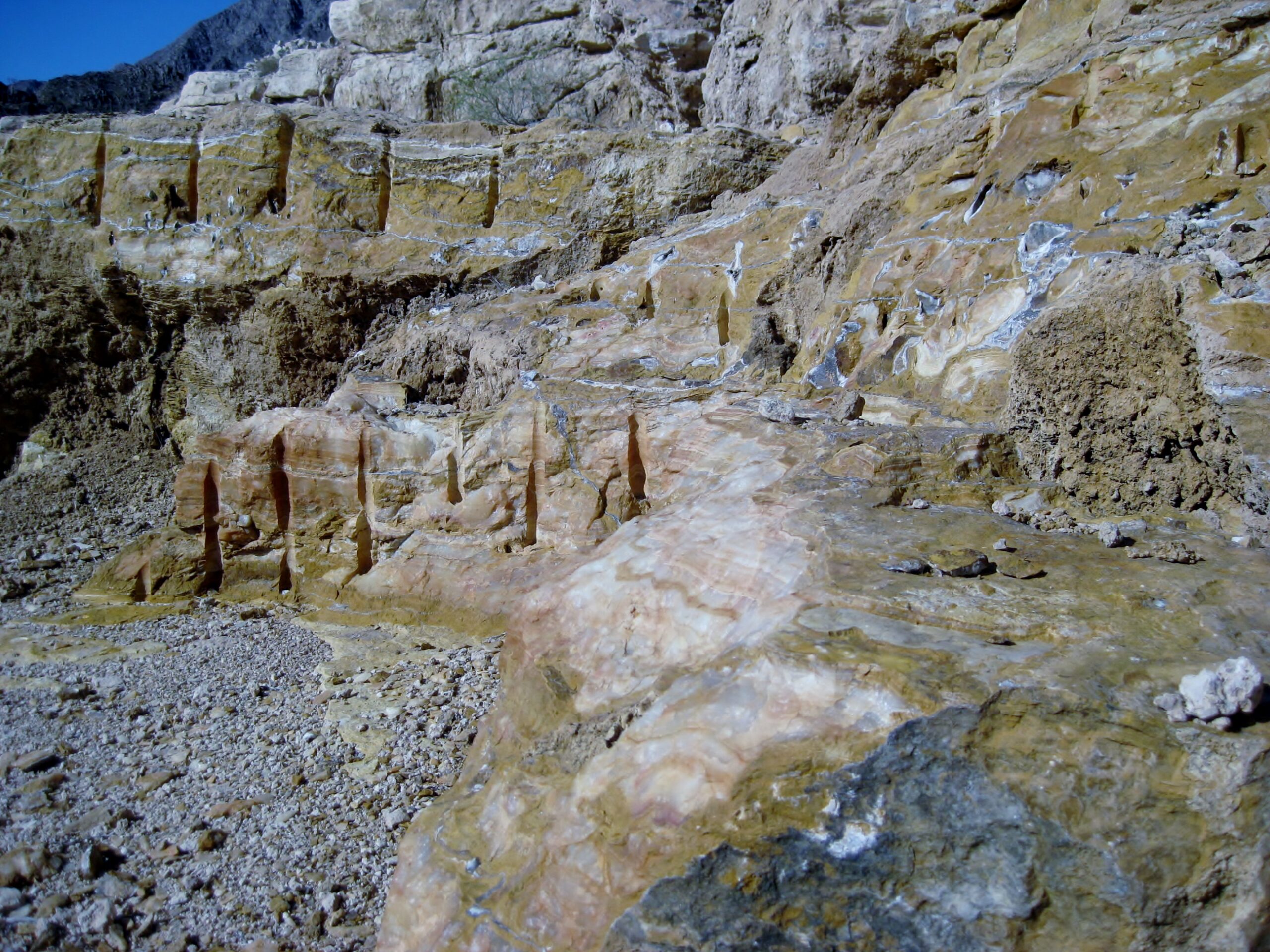
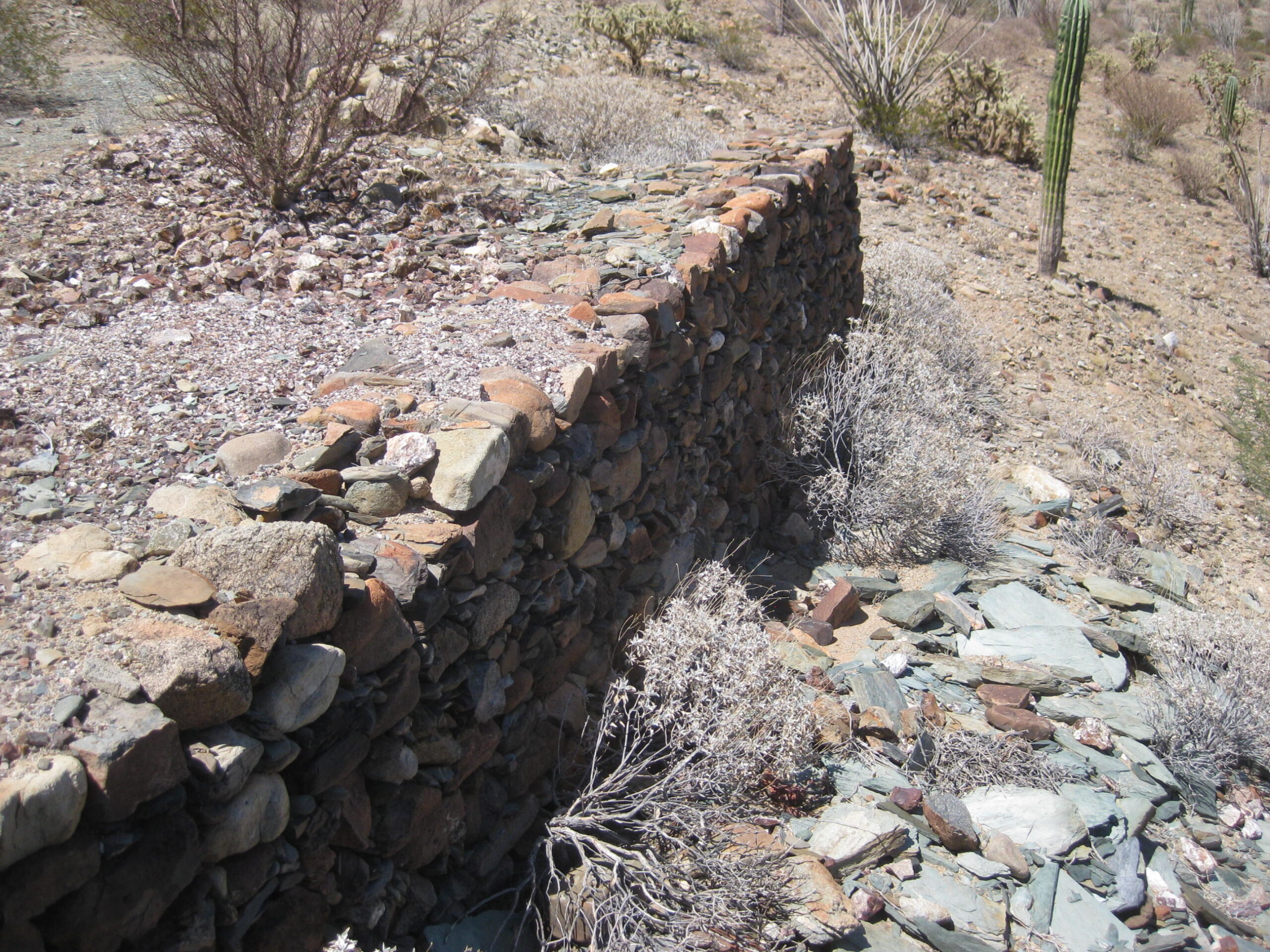
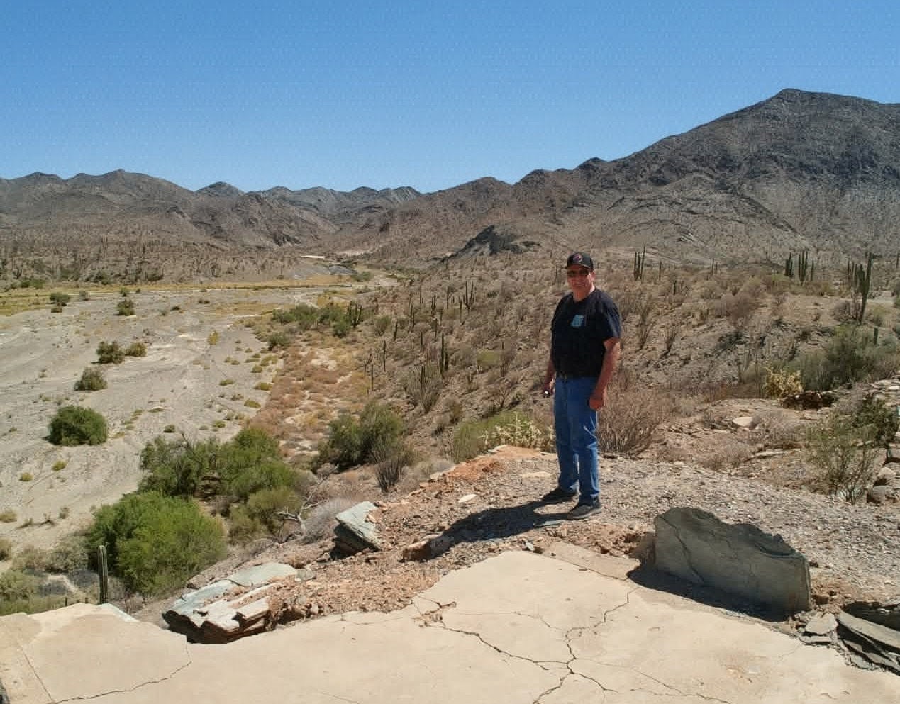
Before attempting to see the first site on our itinerary, Agua del Mezquitito, we revisited the onyx mine of San Judas, just a mile north, exit west from Km. 118.5. Dave and I first visited the mine on our May 2025 expedition. This was LeMoine’s first visit to San Judas.
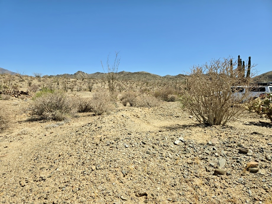
Agua del Mezquitito
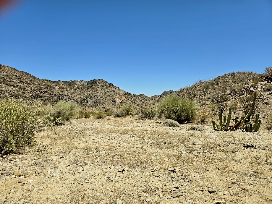
A water spring very close to Mex. #5 that has been visited for decades, maybe centuries. GPS: 29.9860°, -114.5693°. I was first here in 1967 (age 10) and the area was filled with quail! I returned again in 1974 and 2002. That 2002 return visit revealed a rancher had used tires to make a corral around it. This spring was also a point of reference for seekers of the Lost Mission of Santa Isabel! It is located just over ½ mile up the little arroyo from where the highway crosses it. The drive to it now, uses some of the older, dirt highway that is accessed from the new paved highway, at about Km. 120.5. The drive is 0.9 mile to spring. First, go northwest 0.6 mile to the arroyo crossing, there you turn west into the arroyo. Go the remaining 0.3 mi, to the spring. The quail were still in attendance!

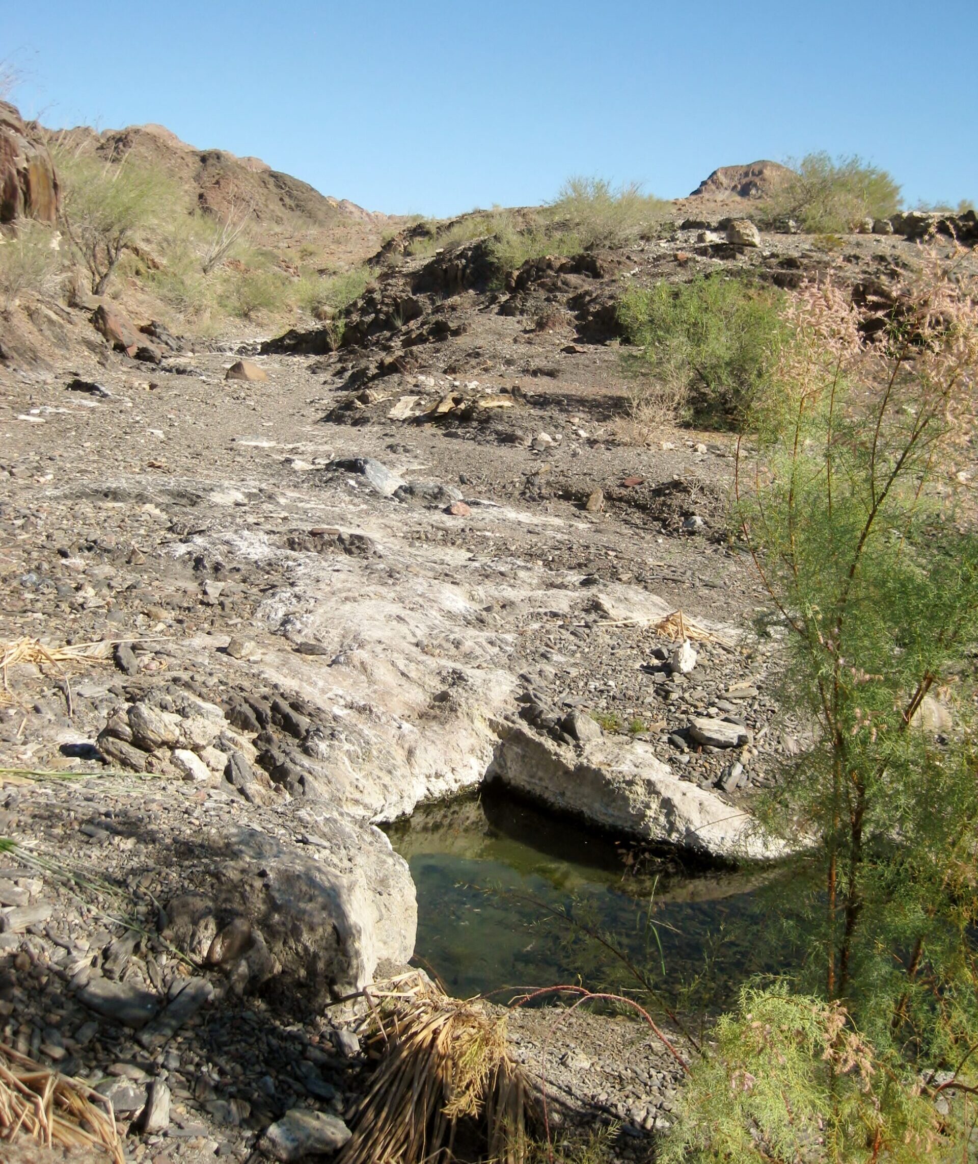

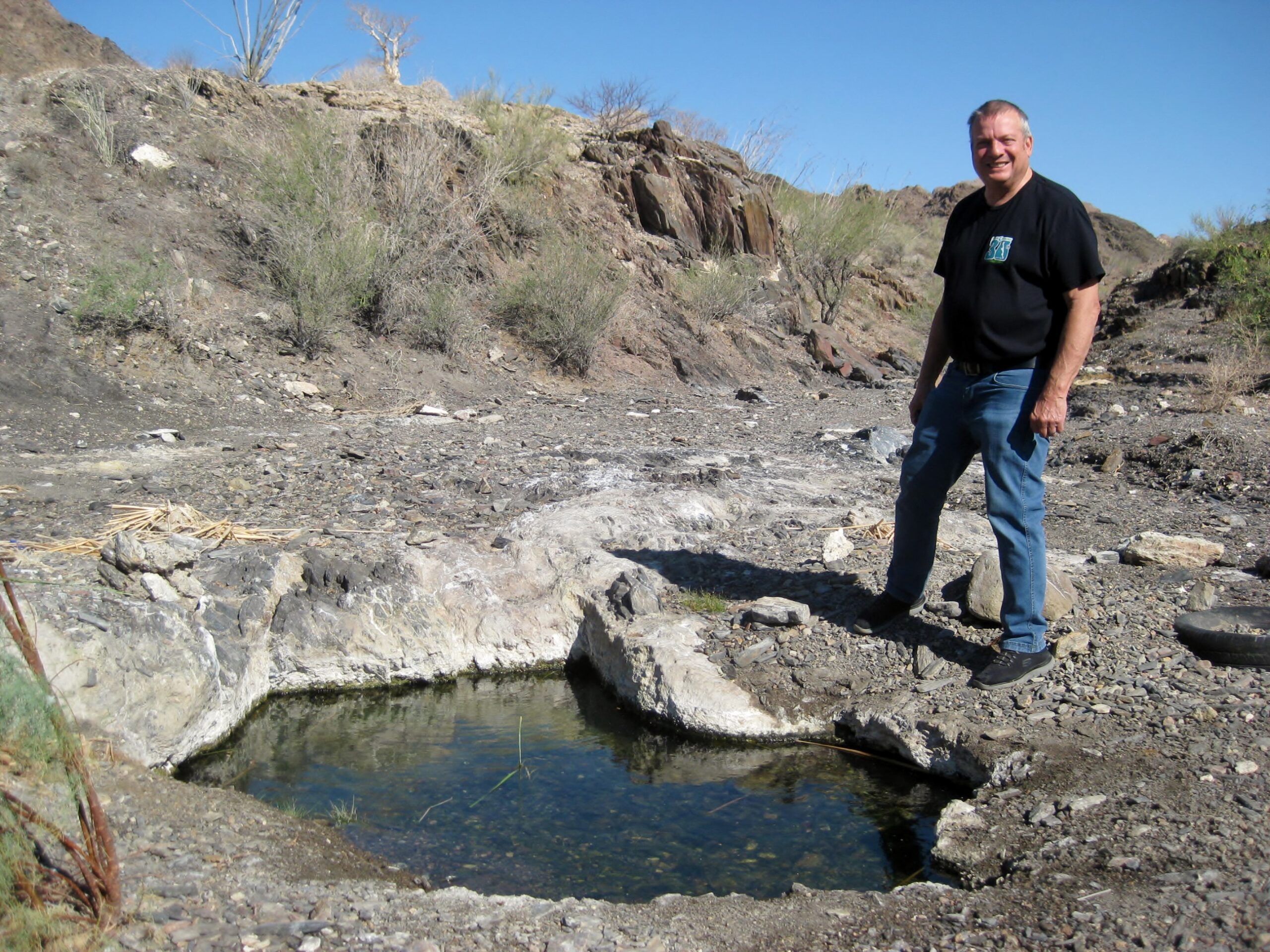


The spring is just 0.9 mile northwest of the highway, from approx. Km. 120.5.
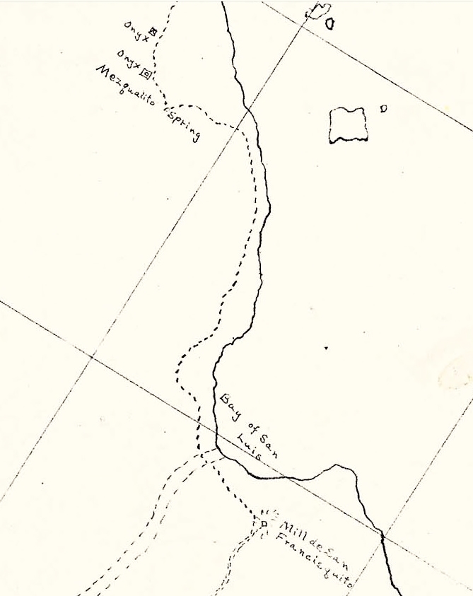
A 1905 hand-drawn map showing the onyx mine and Agua del Mezquitito spring

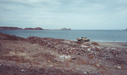
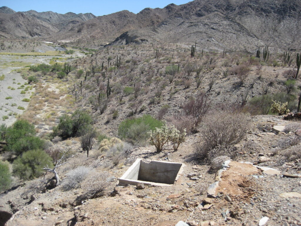
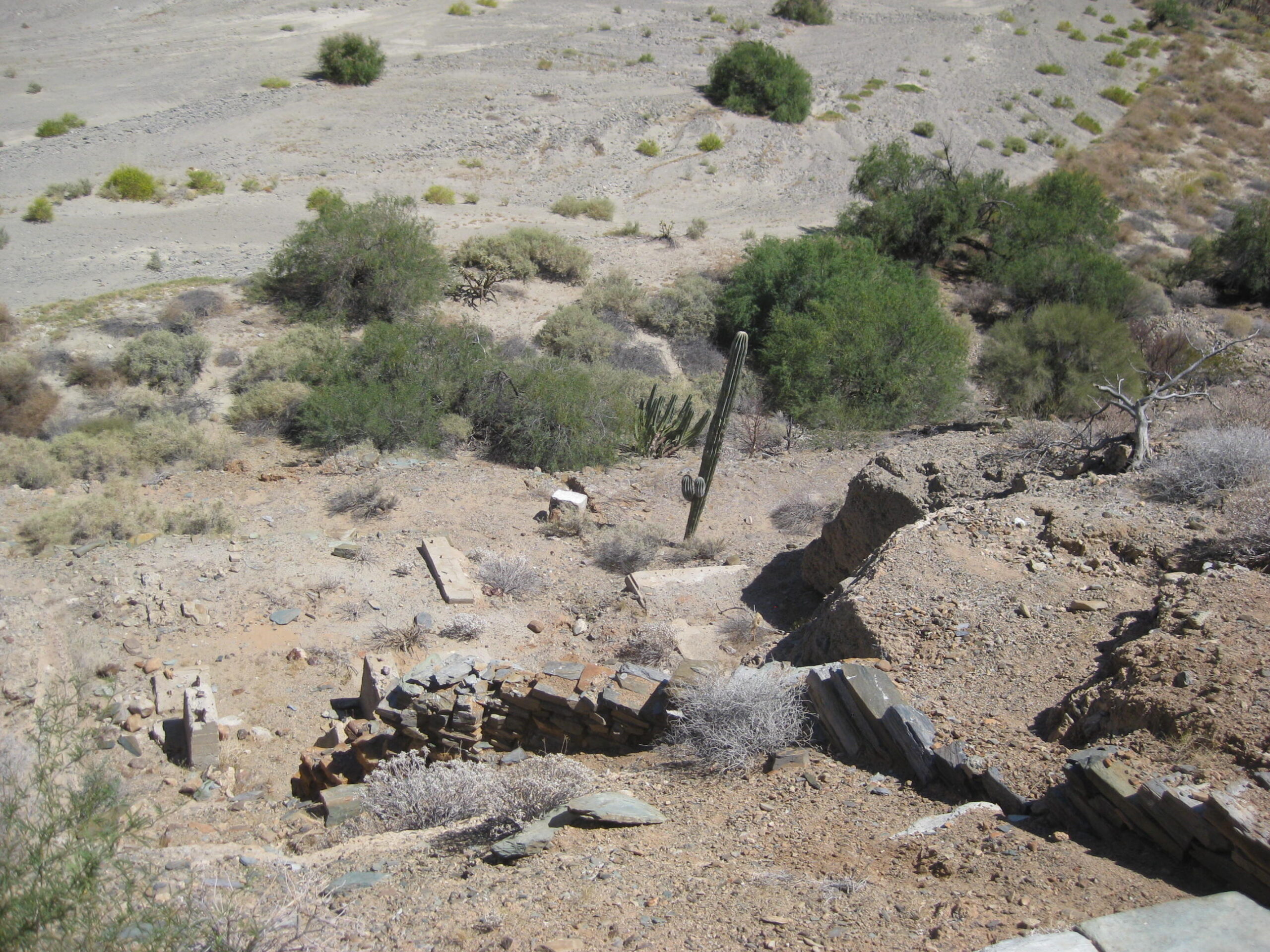
Mission-era warehouse on Gonzaga Bay
Built during the Franciscan period for the missions of San Fernando and up into Alta California, in order to bring in cargo and people. GPS: 29.8153, -114.4101. The trail (ordered by Padre President Junípero Serra) goes west to meet the Camino Real about 3 miles northwest of Mission Santa María.
Warehouse access is to the left/ north, 0.8 mi. from gas station, off of Alfonsina’s road. This is just before the lagoon crossing, after which the road turns north to pass the beach homes. Then it is 1.6 miles northwest to the ruin. We enjoyed breakfast at Alfonsina’s, first (see below).
Photos by Howard Gulick in 1958-1959


Dr. Eric Ritter’s paper (photos and details): https://vivabaja.com/wp-content/uploads/2022/12/GONZAGA-2-EXCAVATIONS.pdf
2026 Photos


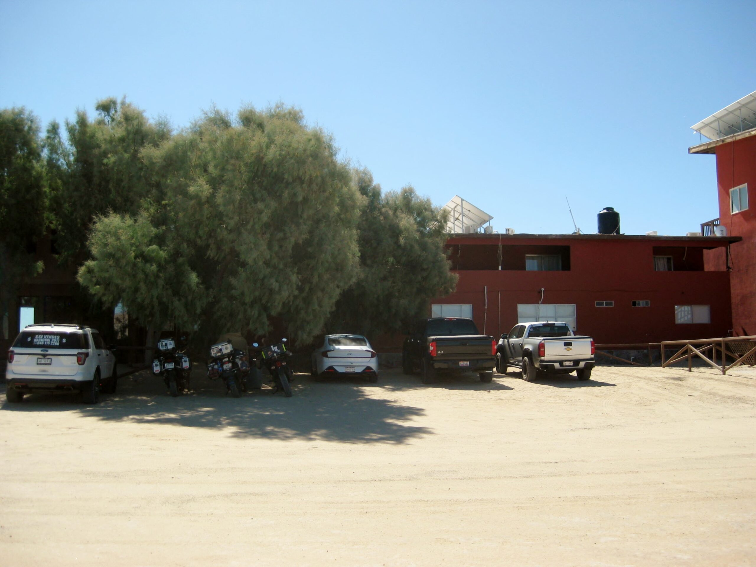
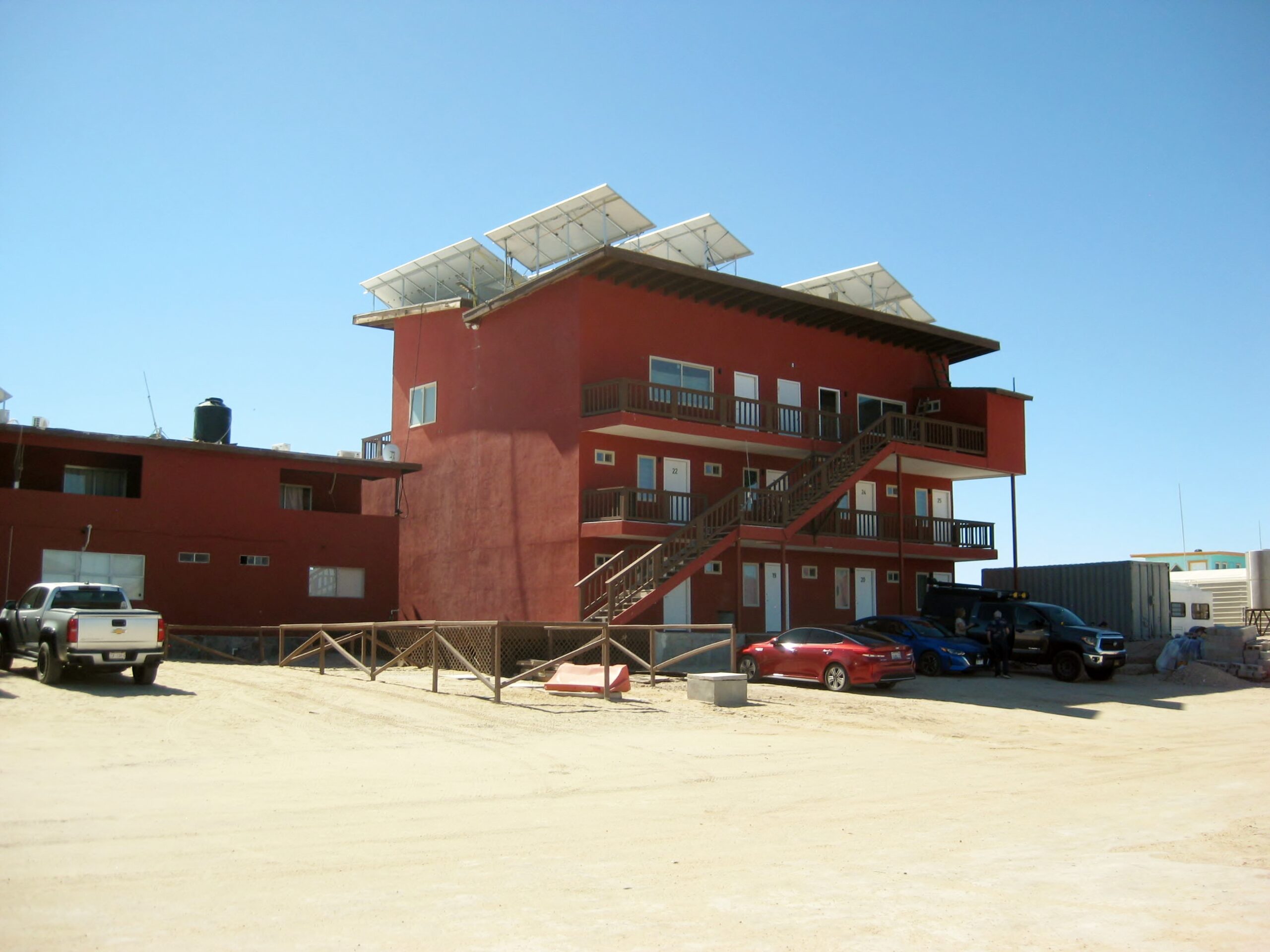
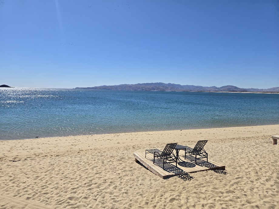
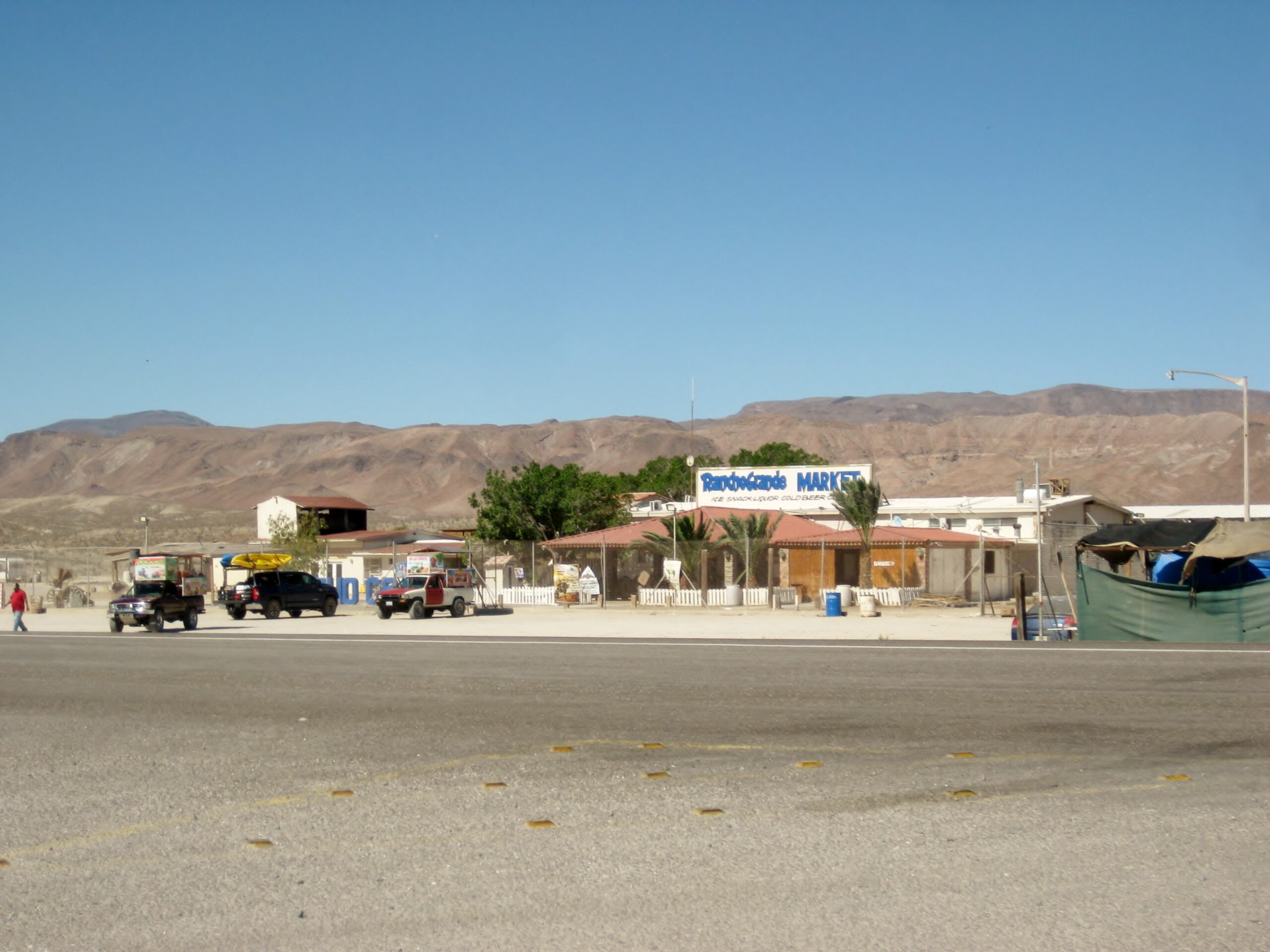
Alfonsina’s Resort
Alfonsina’s got its beginning under the name Crowe’s Camp, named for the American who began the building here in the late 1950s. It has natural landing strip for flying in, when the high tide isn’t covering it. The strip is now closed, with pilots using the big runway at Rancho Grande, just south. Access through a manned security gate, next to the gas station, Km. 147+, 2-miles in.
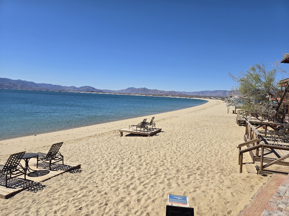
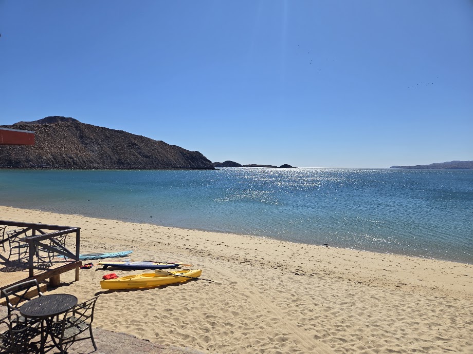
The Bay side of the hotel: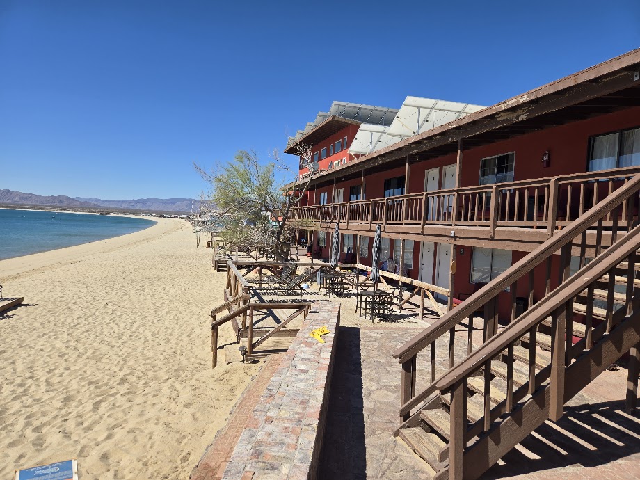
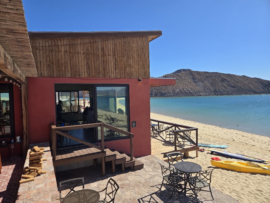
The restaurant, outdoor:

Indoor:
The north side of Alfonsina’s is Bahía San Luis Gonzaga, a Spanish port of the 1700s.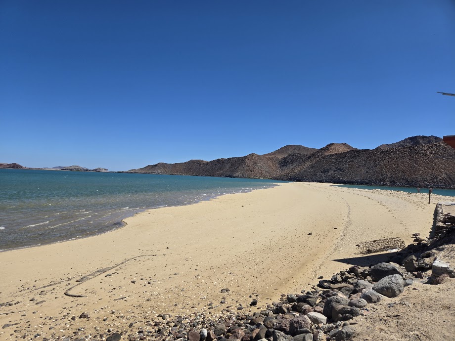

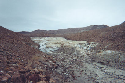
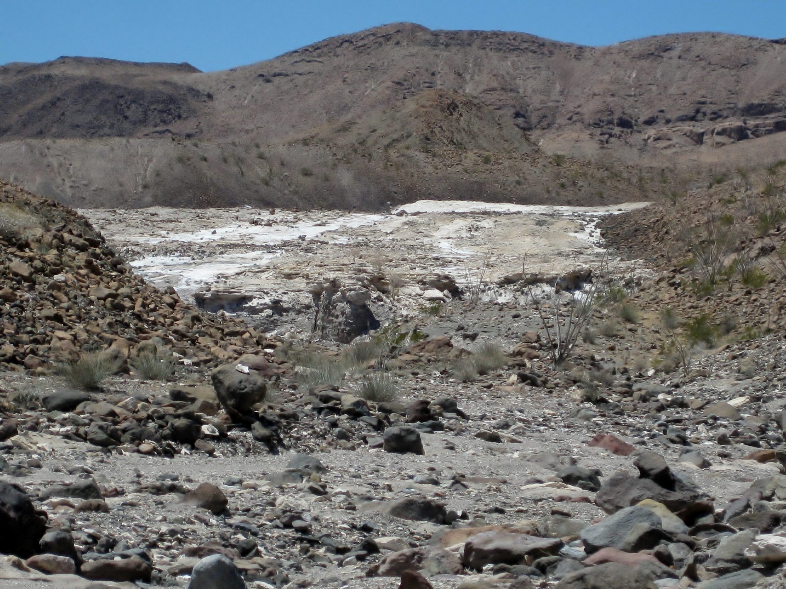
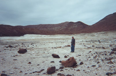
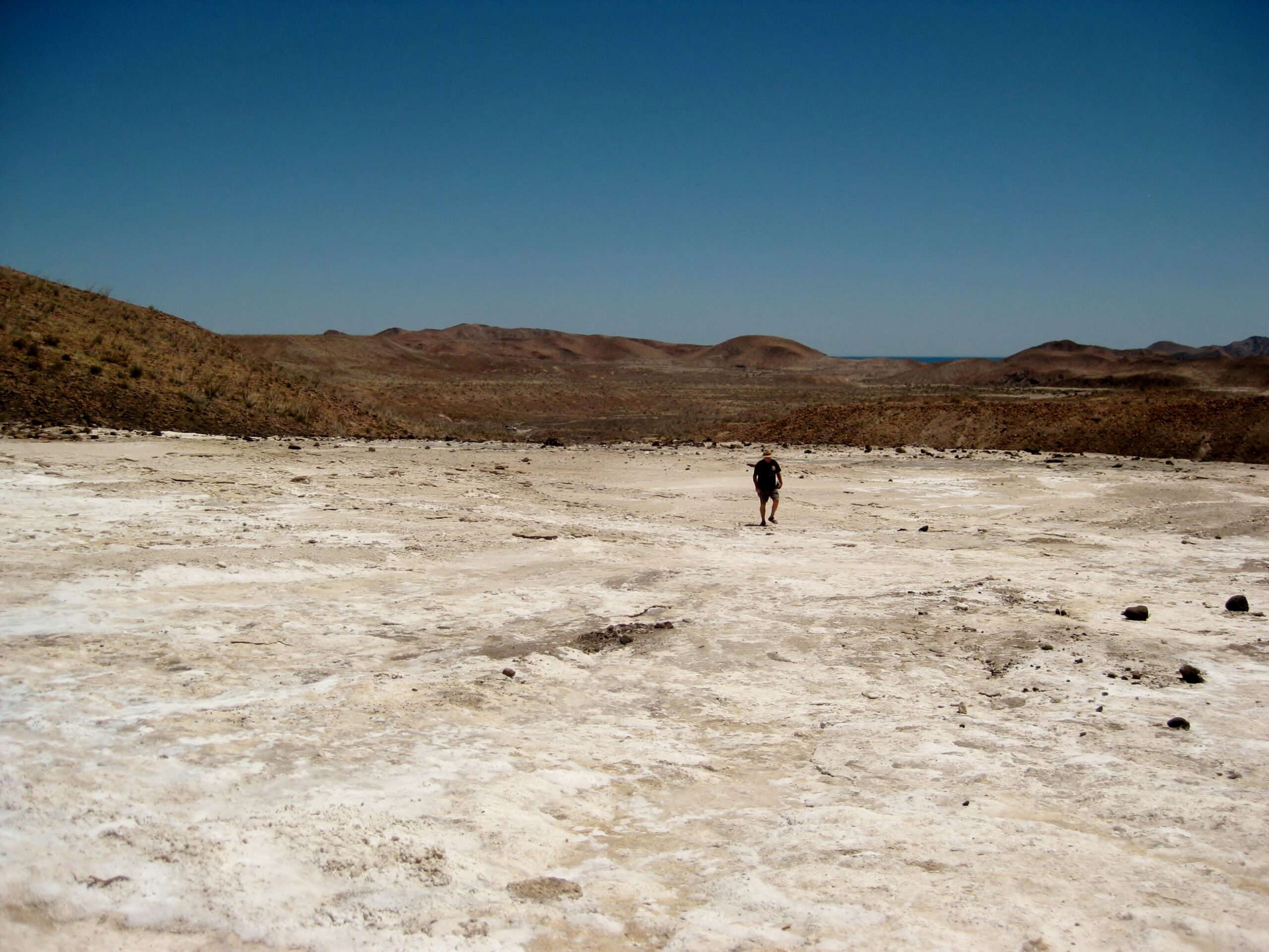
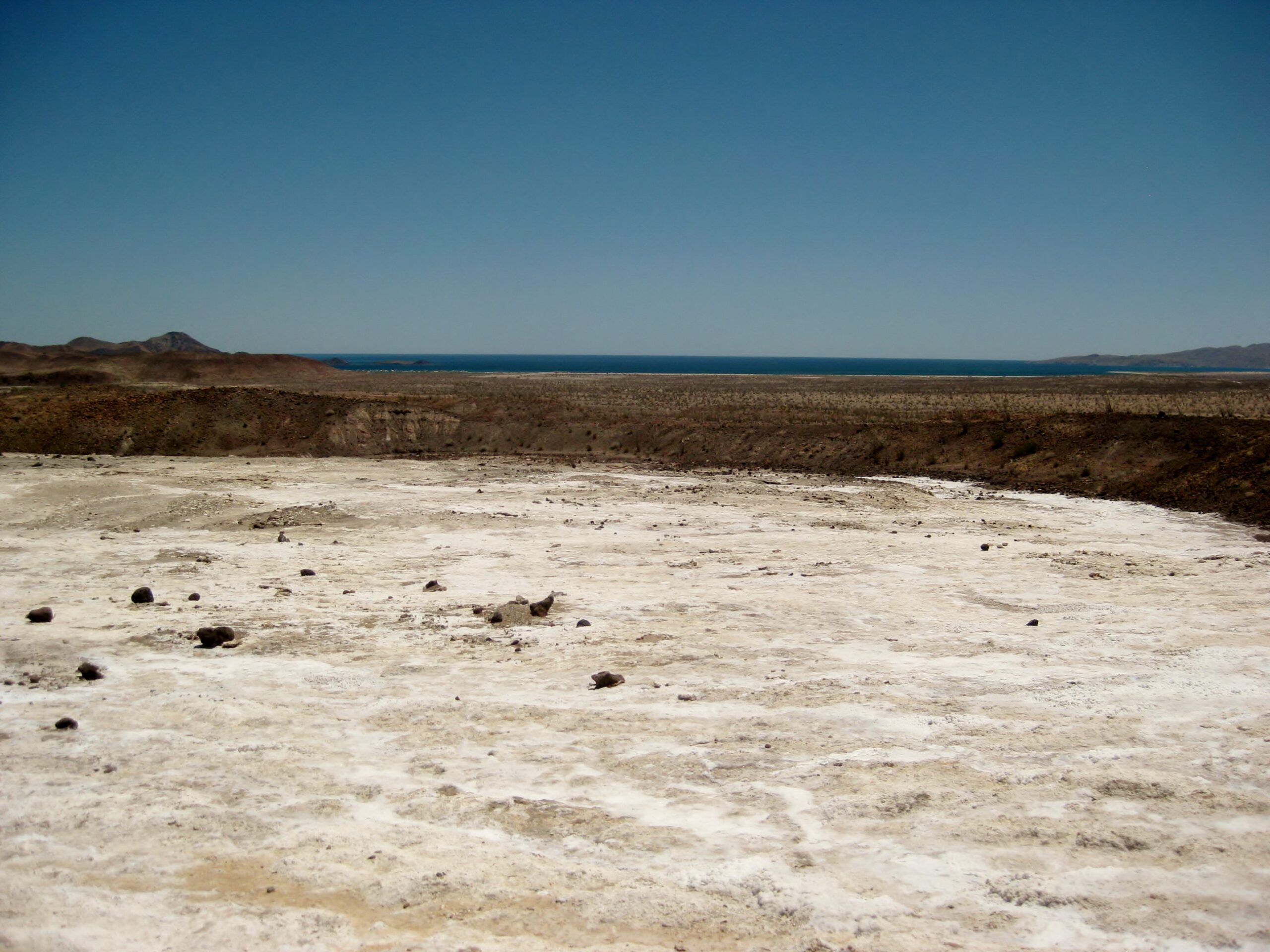
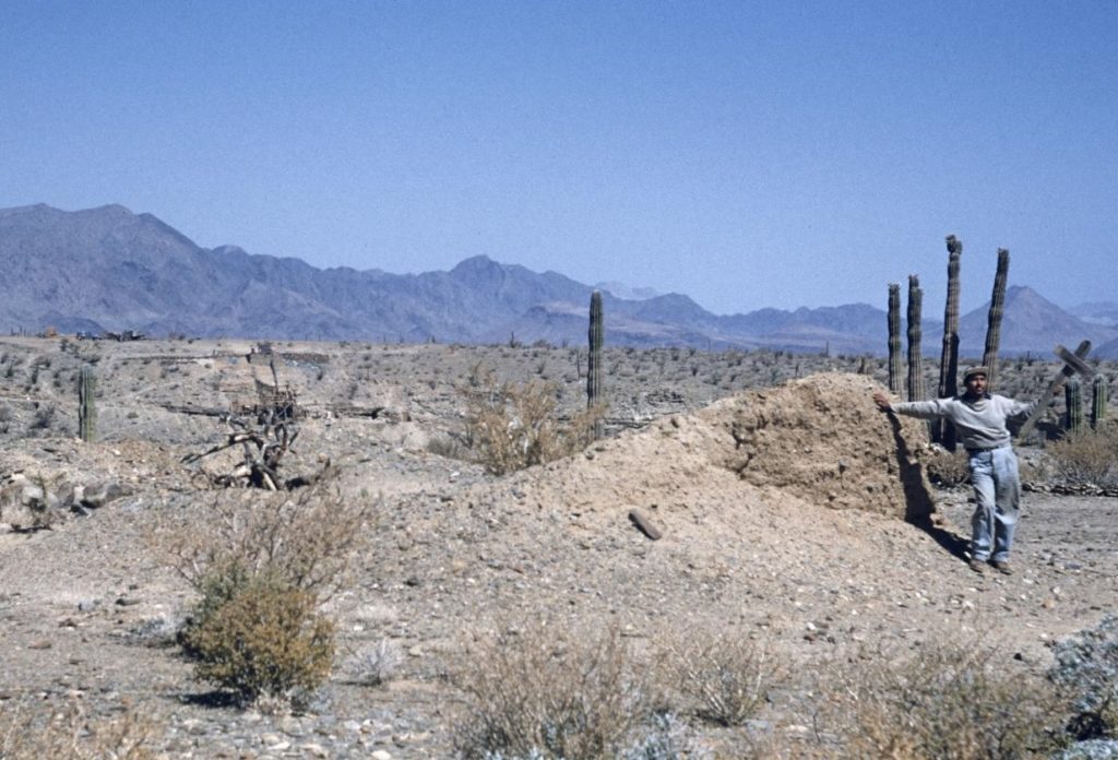
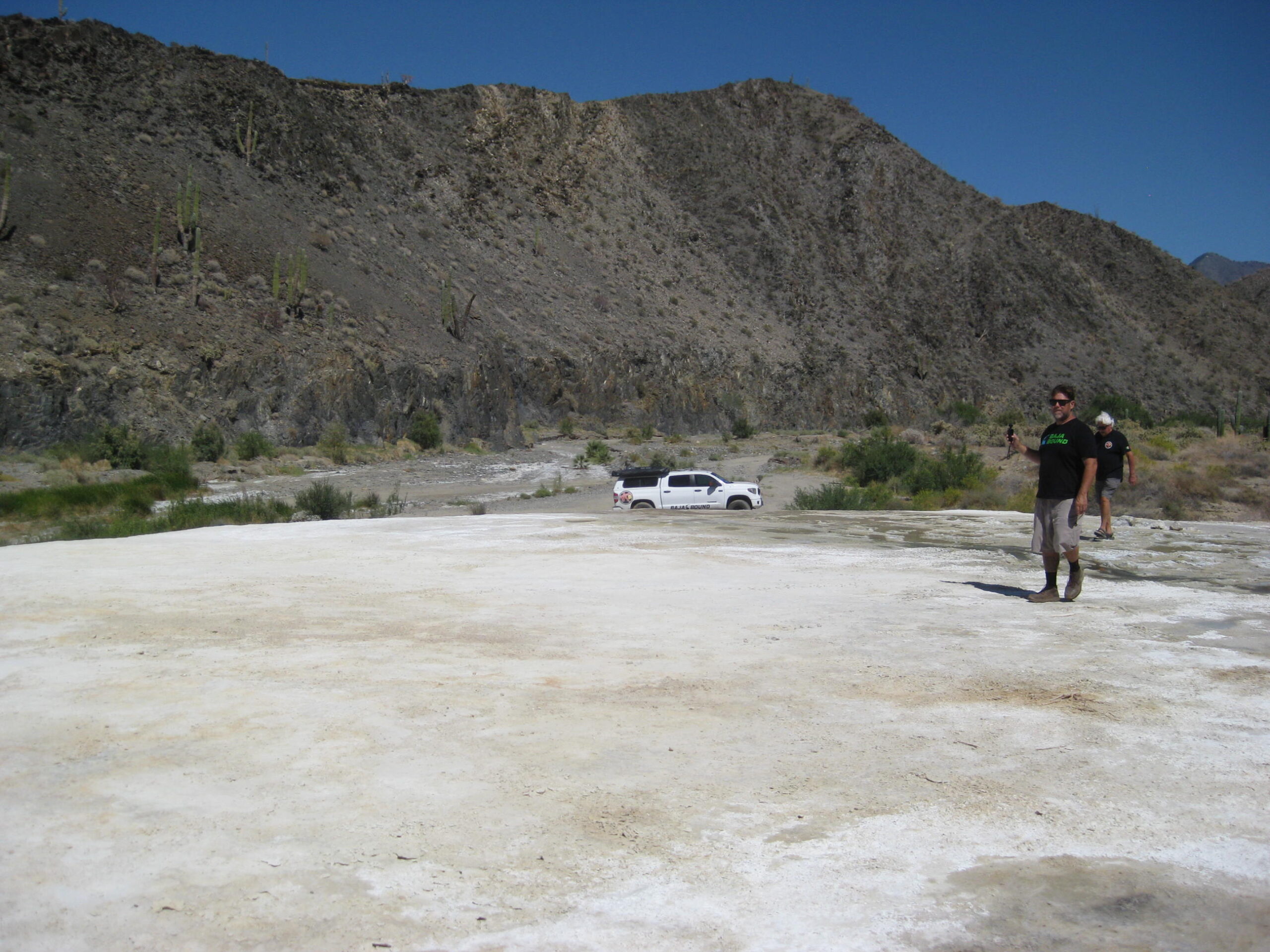
Gonzaga Bay’s Onyx-Salt Springs or ‘Mineral Glacier’
GPS: 29.7824, -114.4472 (2-1/2 miles from Km. 147/ Rancho Grande Market)
First published in the January 1959 Desert Magazine: ‘Trail to a Baja Salt Spring‘

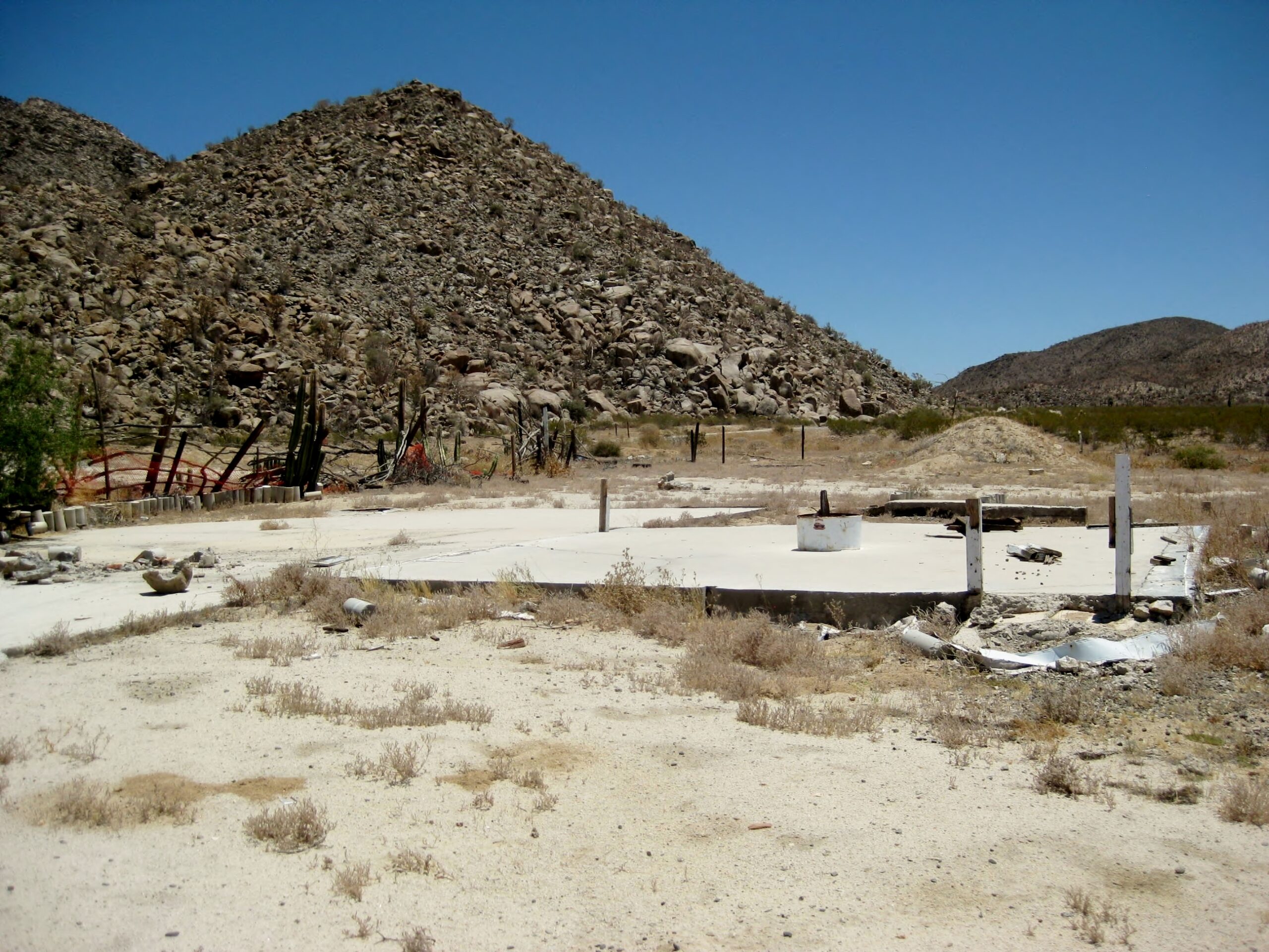
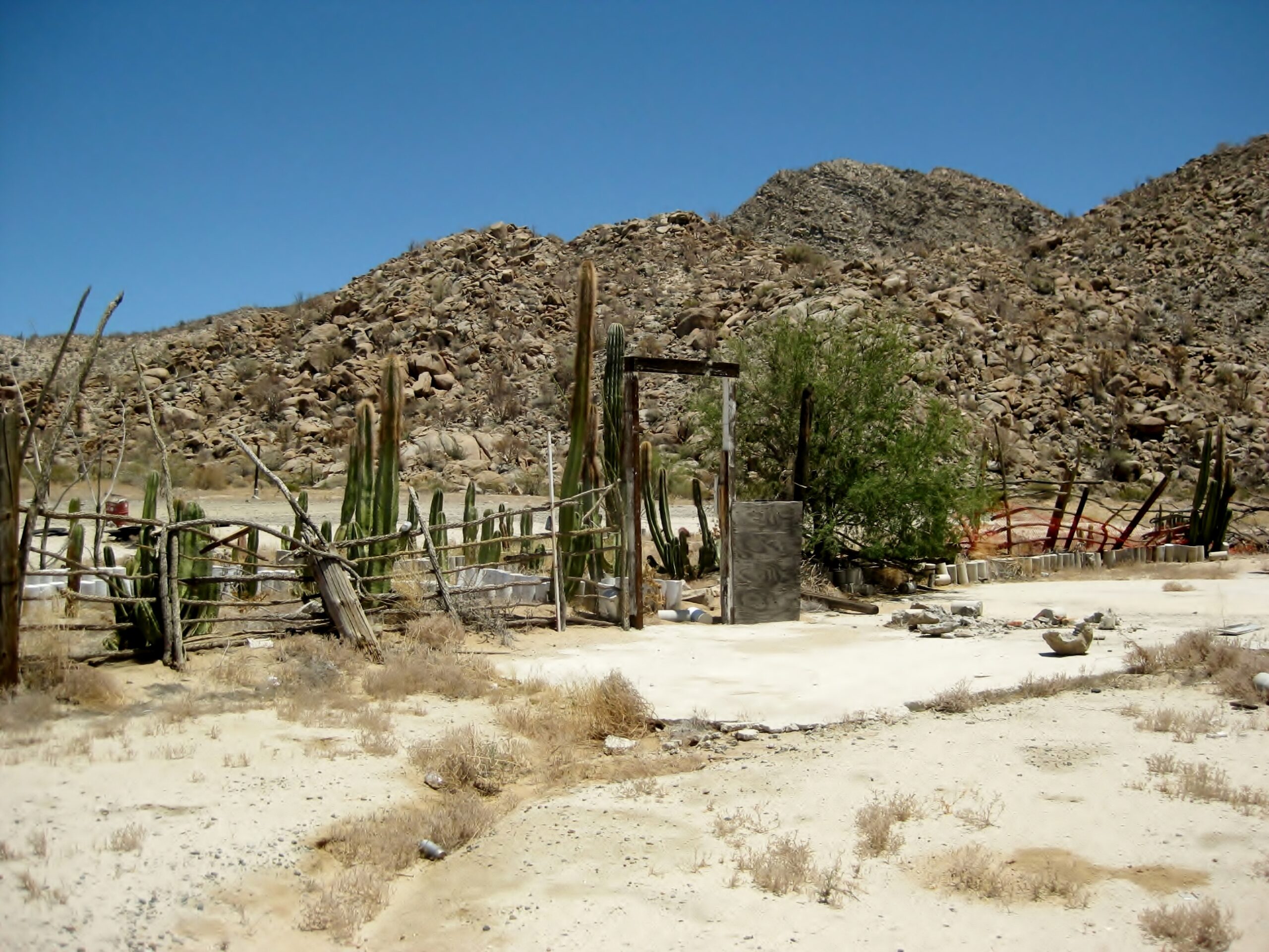
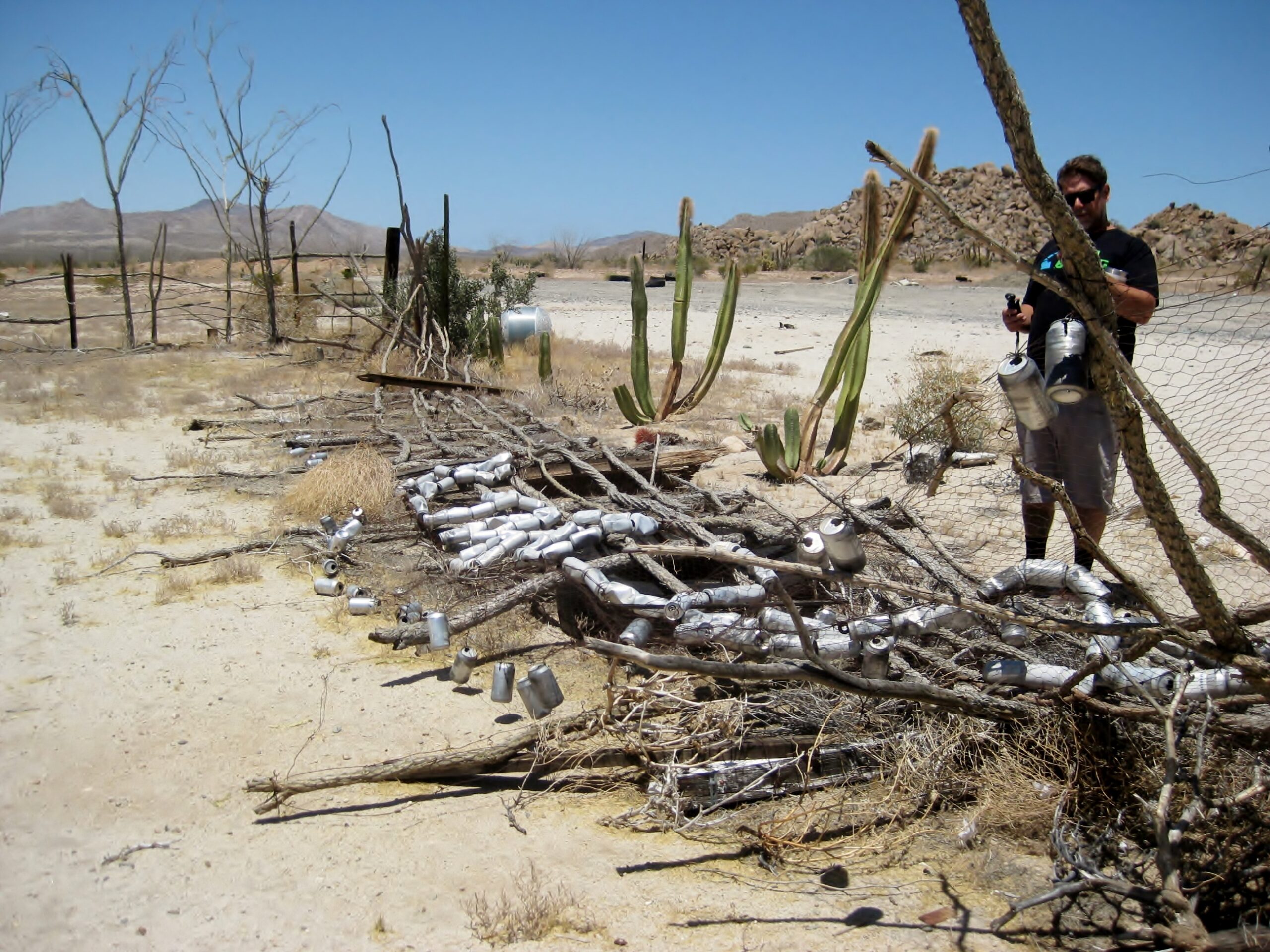
Coco’s Corner
Read and see more about this colorful man and his desert oasis (founded in 1987): https://vivabaja.com/coco/
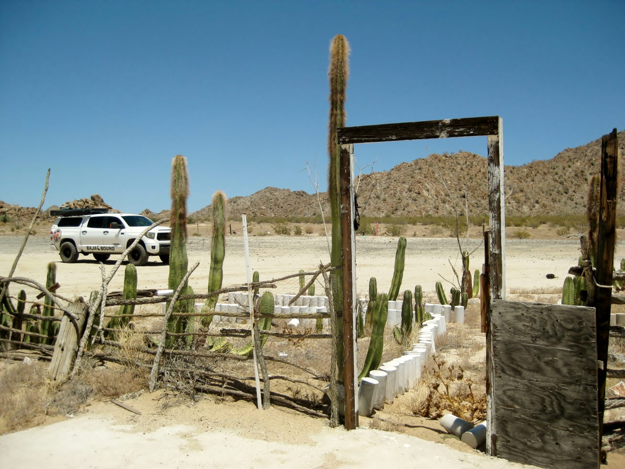
Coco’s (old or original) Corner, in 2026. GPS: 29°31.01′, -114°17.46′

In July 2001, at the same doorway in the above photo:
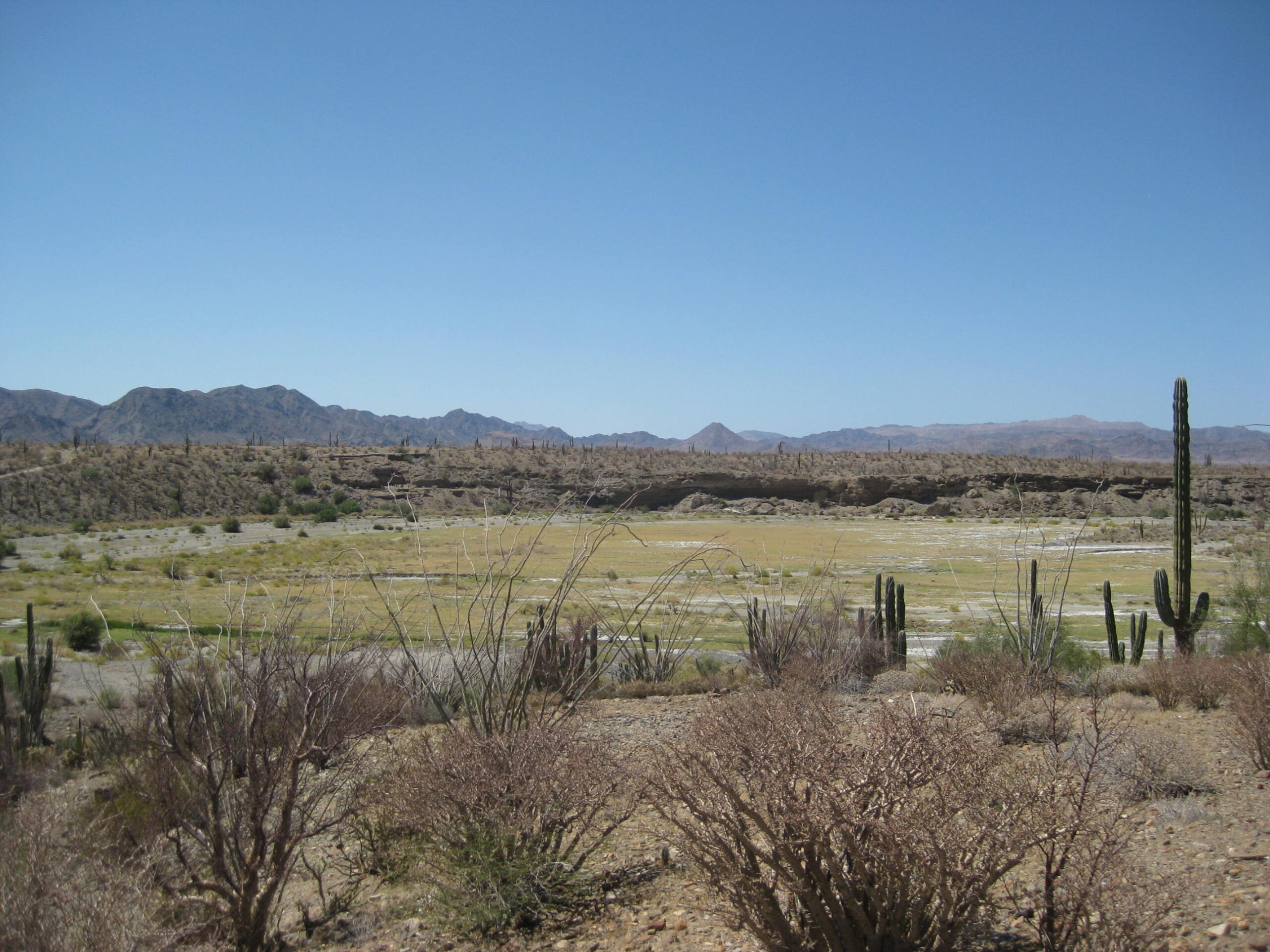
Calamajué
Mission GPS: 29.4211°, -114.1951°. Exit Mex. #5 at Km. 179.5 (New Coco’s Corner), go east & south 17 miles. An alternative route goes south to the old Coco’s Corner, then east turn.
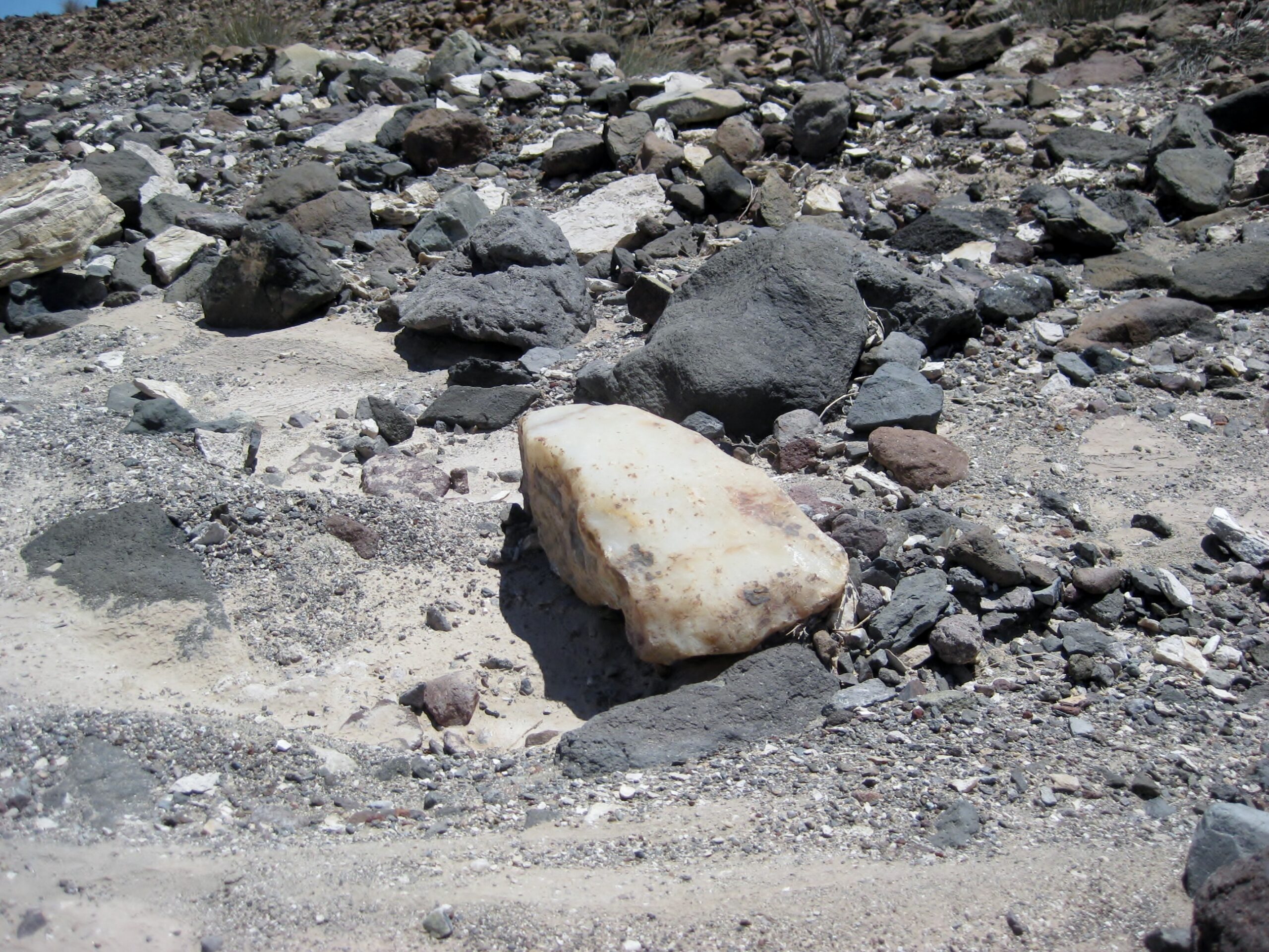
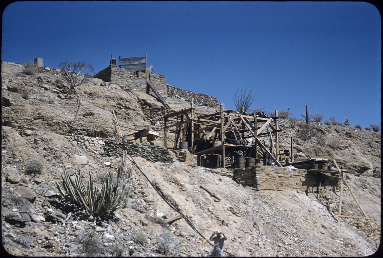
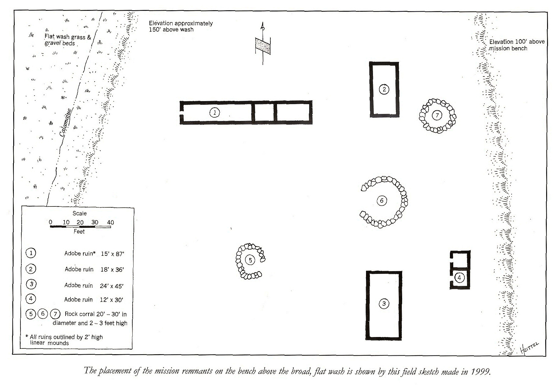
Calamajué (say: “cala-ma-WAY”) was the Native name for this area, modified into Spanish pronunciation, and used to identify the site of the 17th Jesuit California mission in 1766. A year-round stream flows out the nearby canyon and sinks into the sand near the mission, which is located on a bench above the arroyo floor, across from where the auto road drops to it. Next to the road just before this drop was a gold ore mill from around 1905. Dick Daggett was the miner behind the project per the 1910 book by Arthur North, ‘Camp and Camino in Lower California‘
The mission lasted only 7 months here because the water was so full of mineral salts, crops refused to grow. The mission moved 30 miles north and west to a canyon with ample running fresh water and became known as Santa María de los Angeles.
Calamajué can also be reached from the original Coco’s Corner by traveling east for 6.3 miles towards Puerto Calamajué, then taking the right fork that heads straight south 7 miles to the mill and mission sites. That was our route this trip.


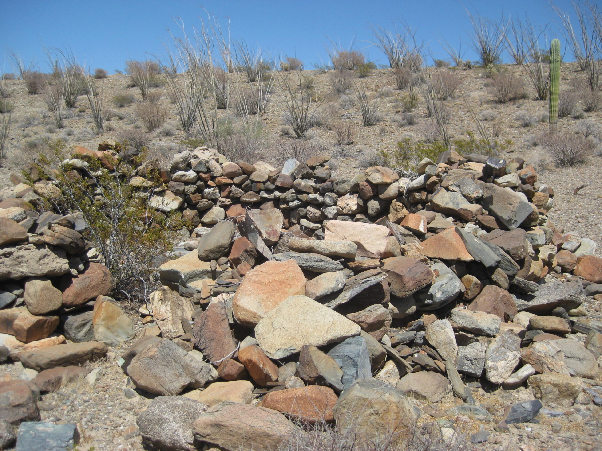
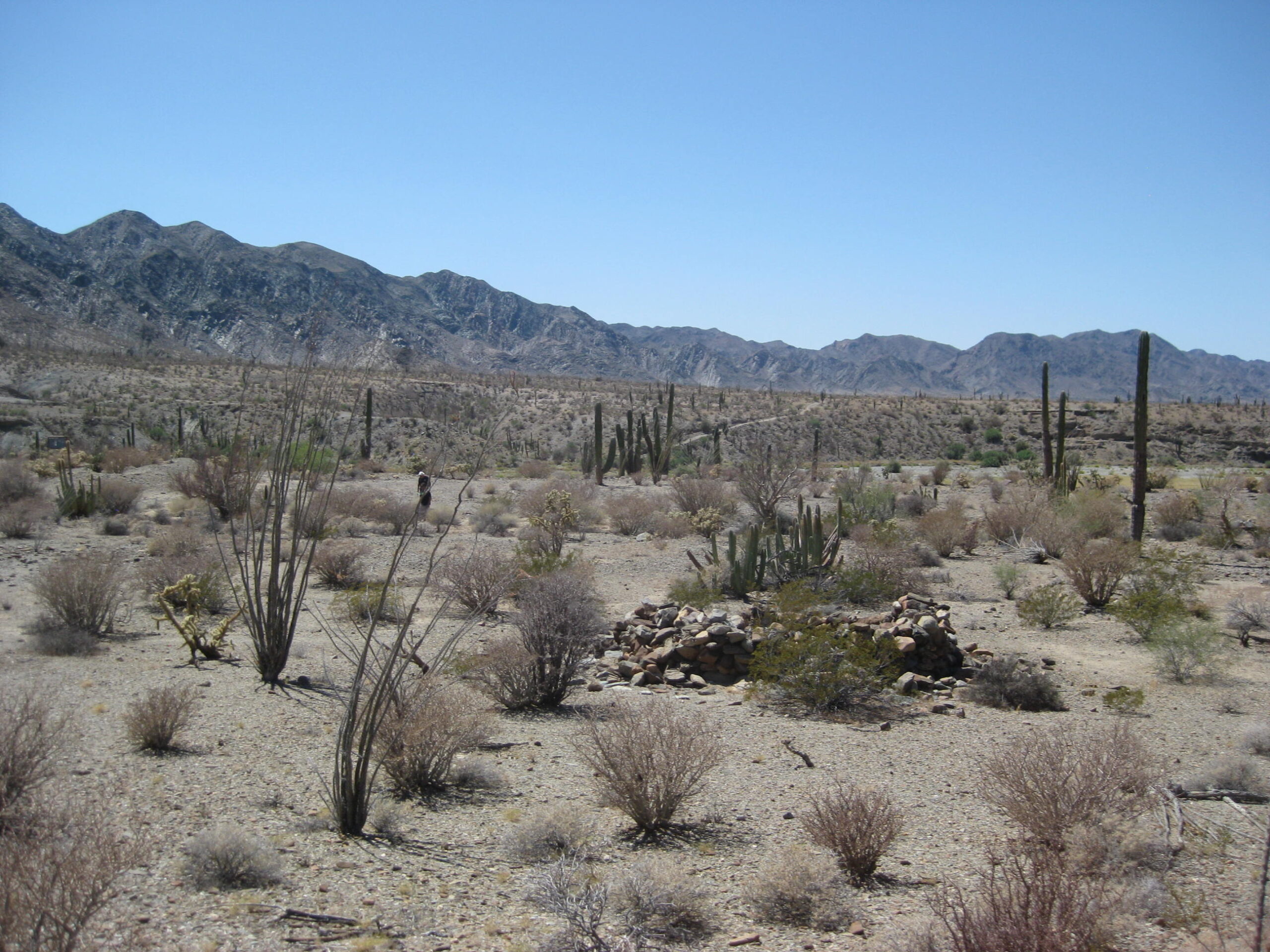
The Molino de Calamajué gold ore mill. Worked in the early 1900s by Dick Daggett. The mission site is across the wide arroyo from here.
Going back 59 years to my first visit here (in 1967, age 9-1/2)…


Climbing up to the mission terrace:
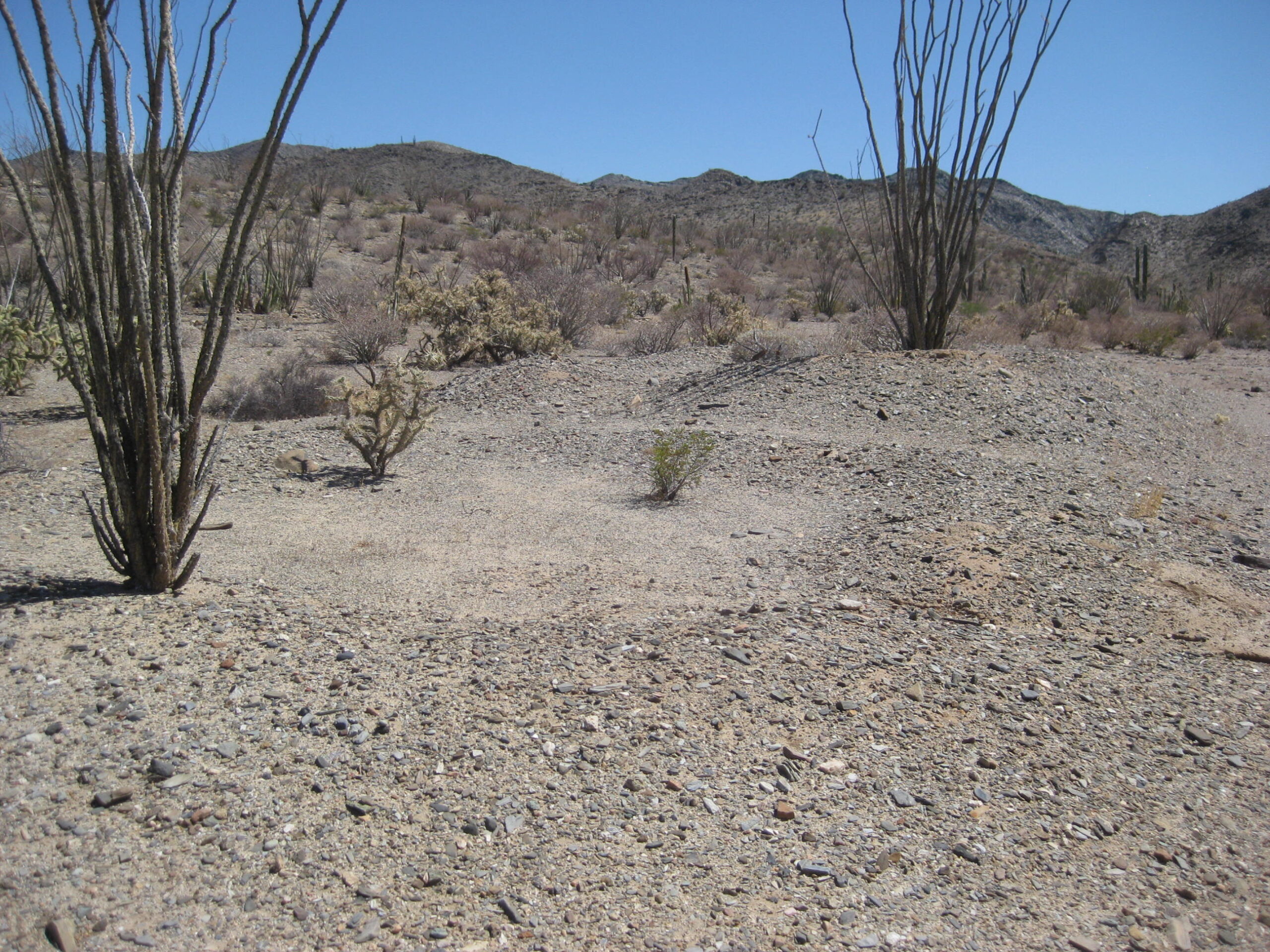
Misión de Calamajué, founded in October 1766 as the 17th California mission, and relocated in May 1767 some 30 miles to Santa María de los Angeles.


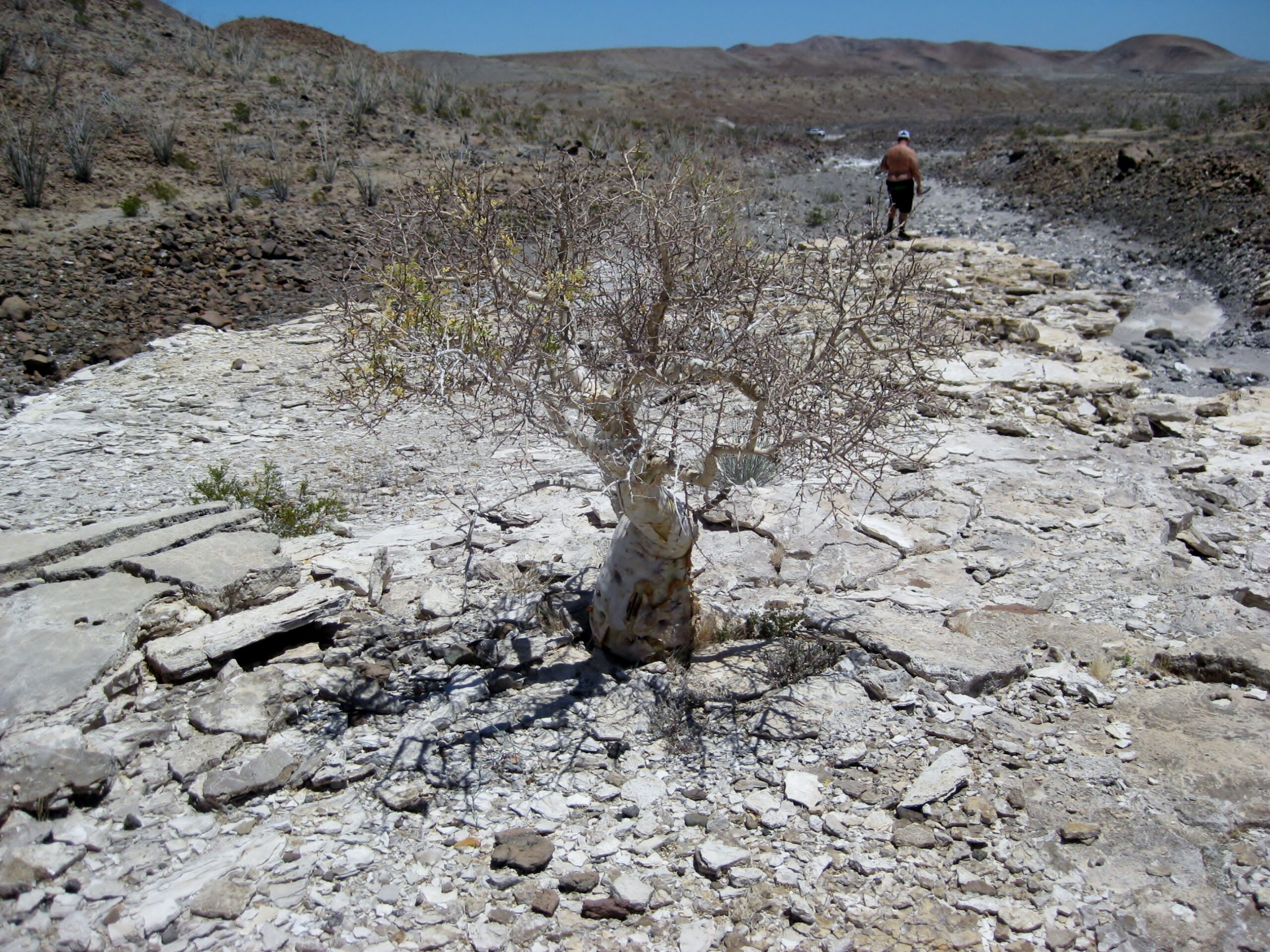
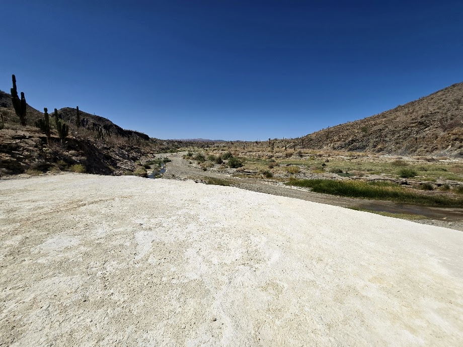
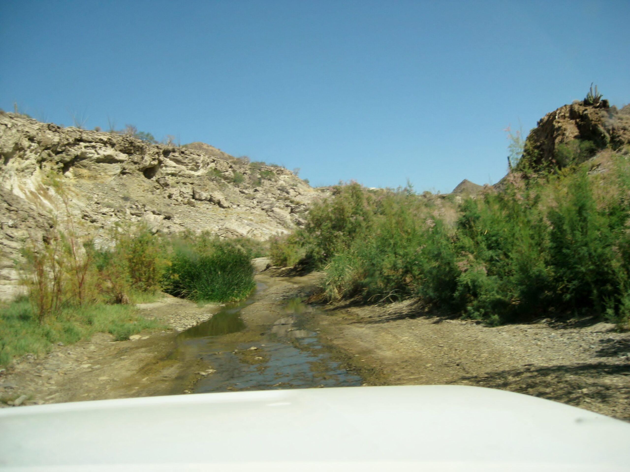
Driving south into Calamajué Canyon, the road and the creek are one:

Not too far in the canyon, a white mineral bench is visible, looking very similar to the onyx springs at Gonzaga Bay.


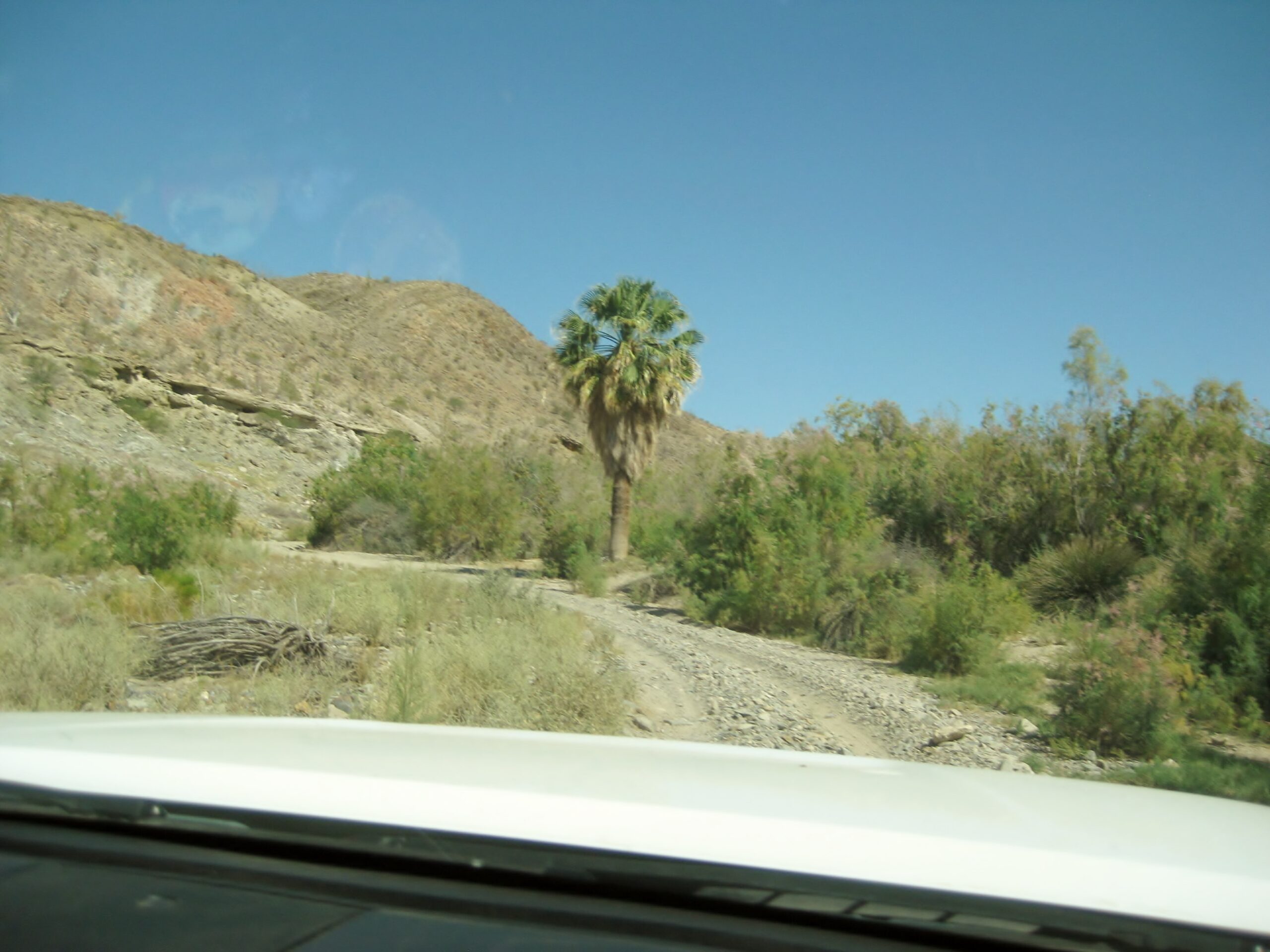
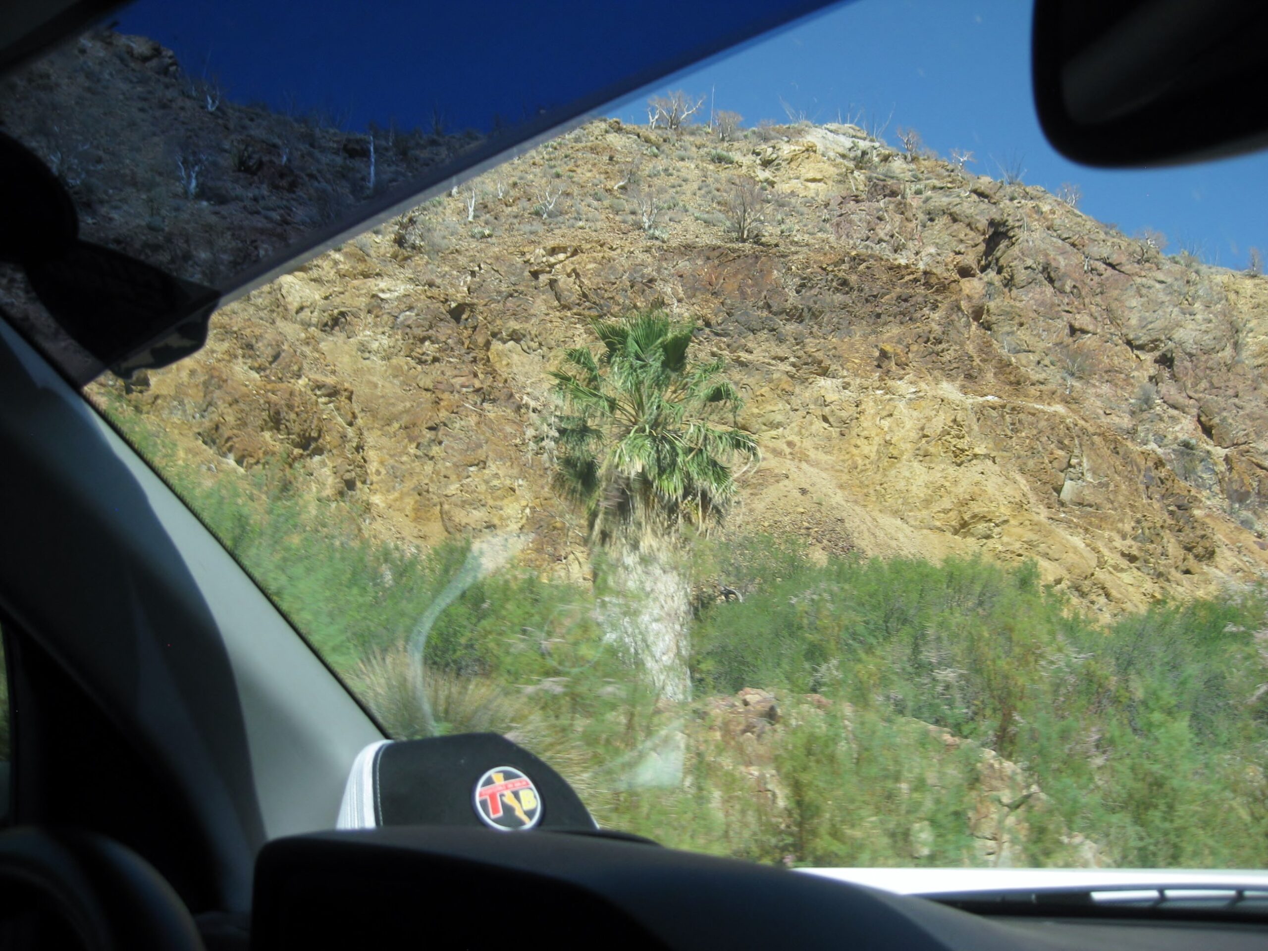
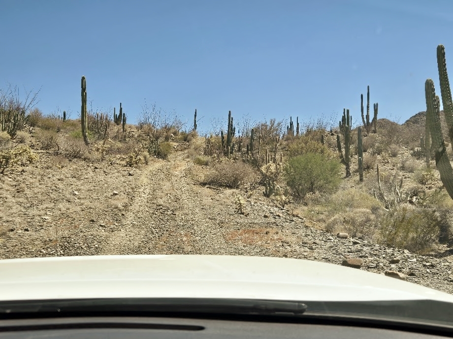
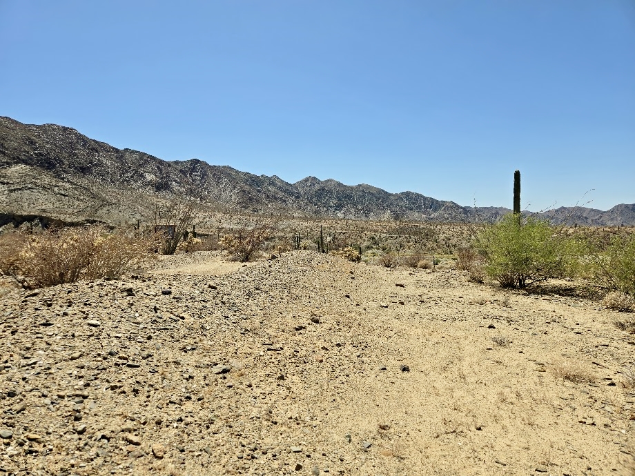
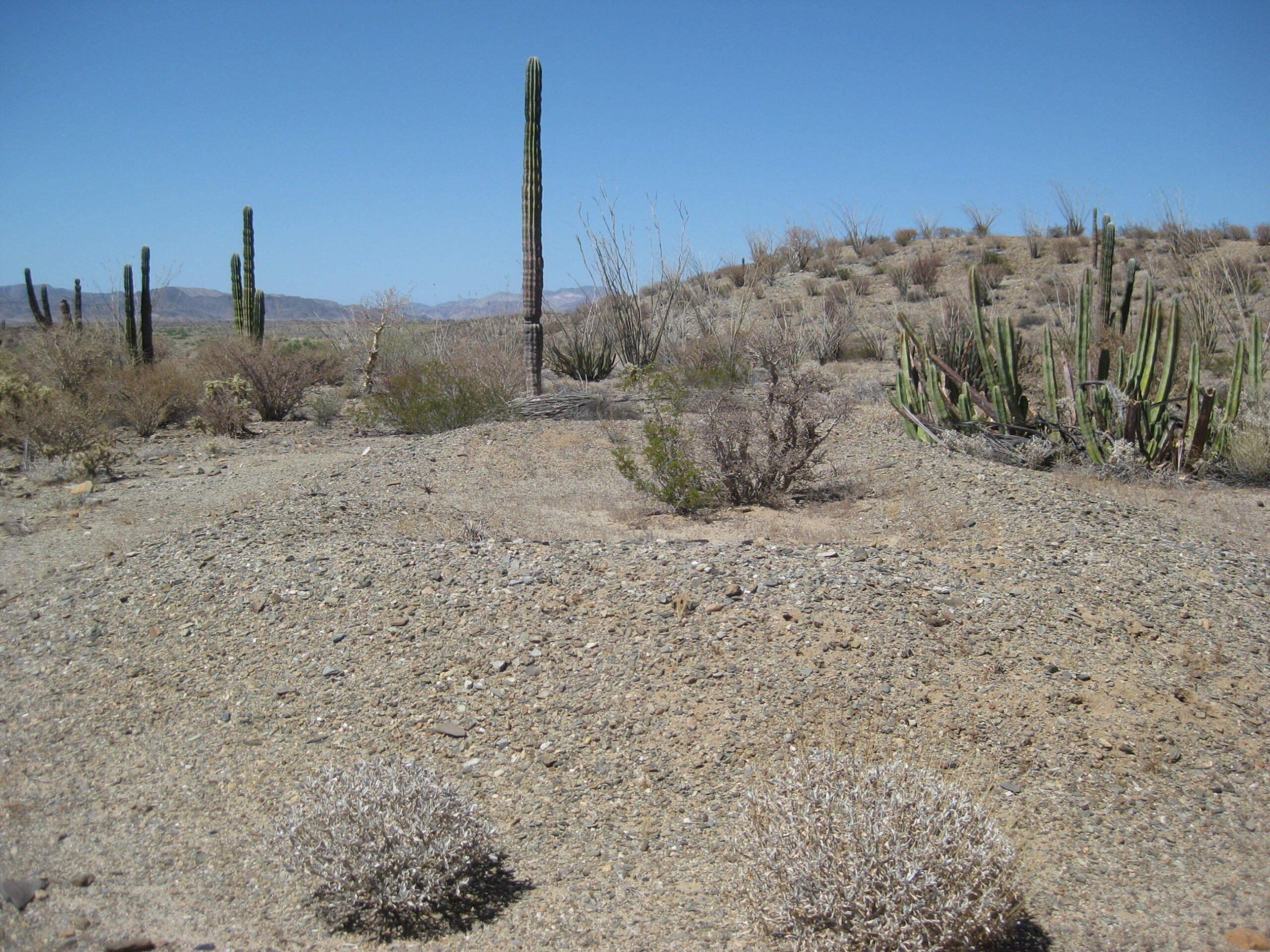
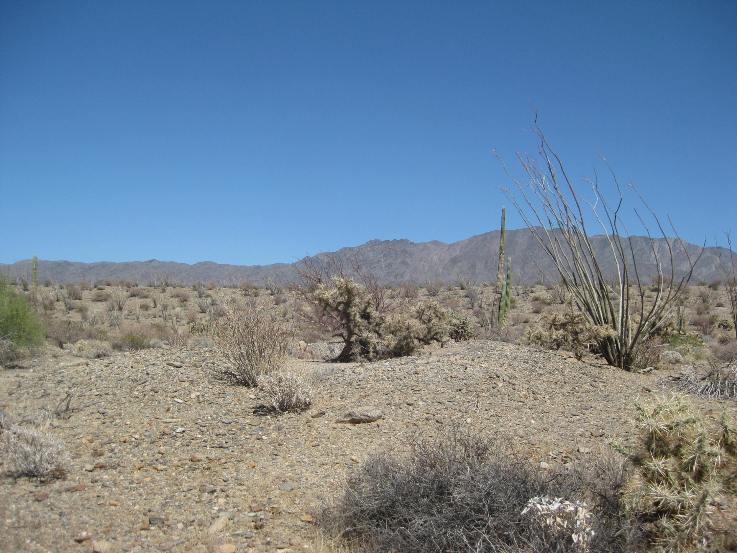
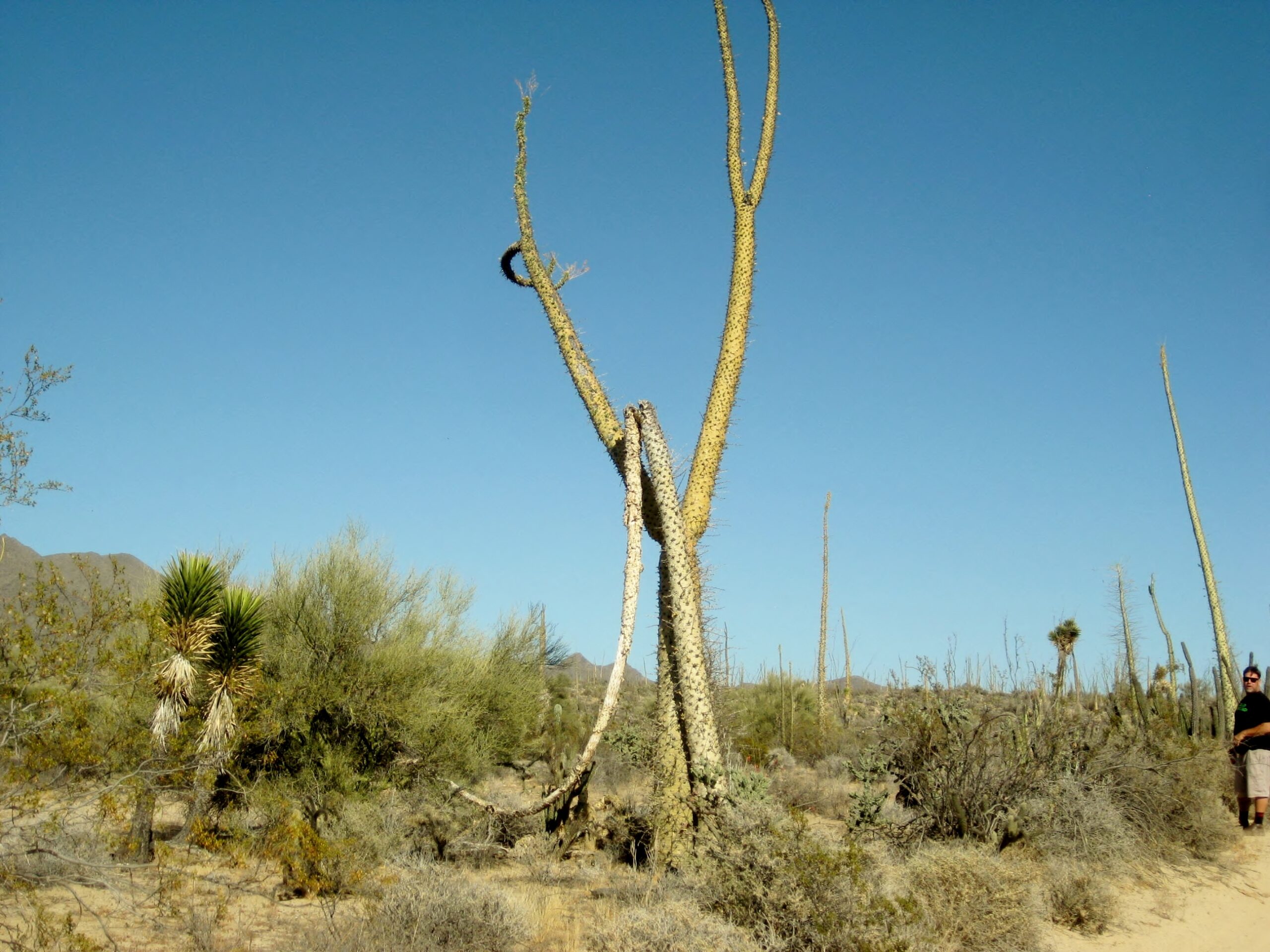
We eventually climb out of the arroyo and cross the desert plain with its many boojum trees (cirios).

One pair of the tall cactus, I named ‘dancing boojums’ back in 2012:

In 2026, the ‘left’ partner is gone and the other’s ‘arm’ is broken:
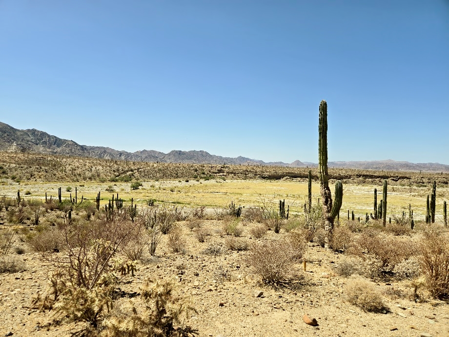
The desert gardens of Baja California must rate as some of the most incredible in the world!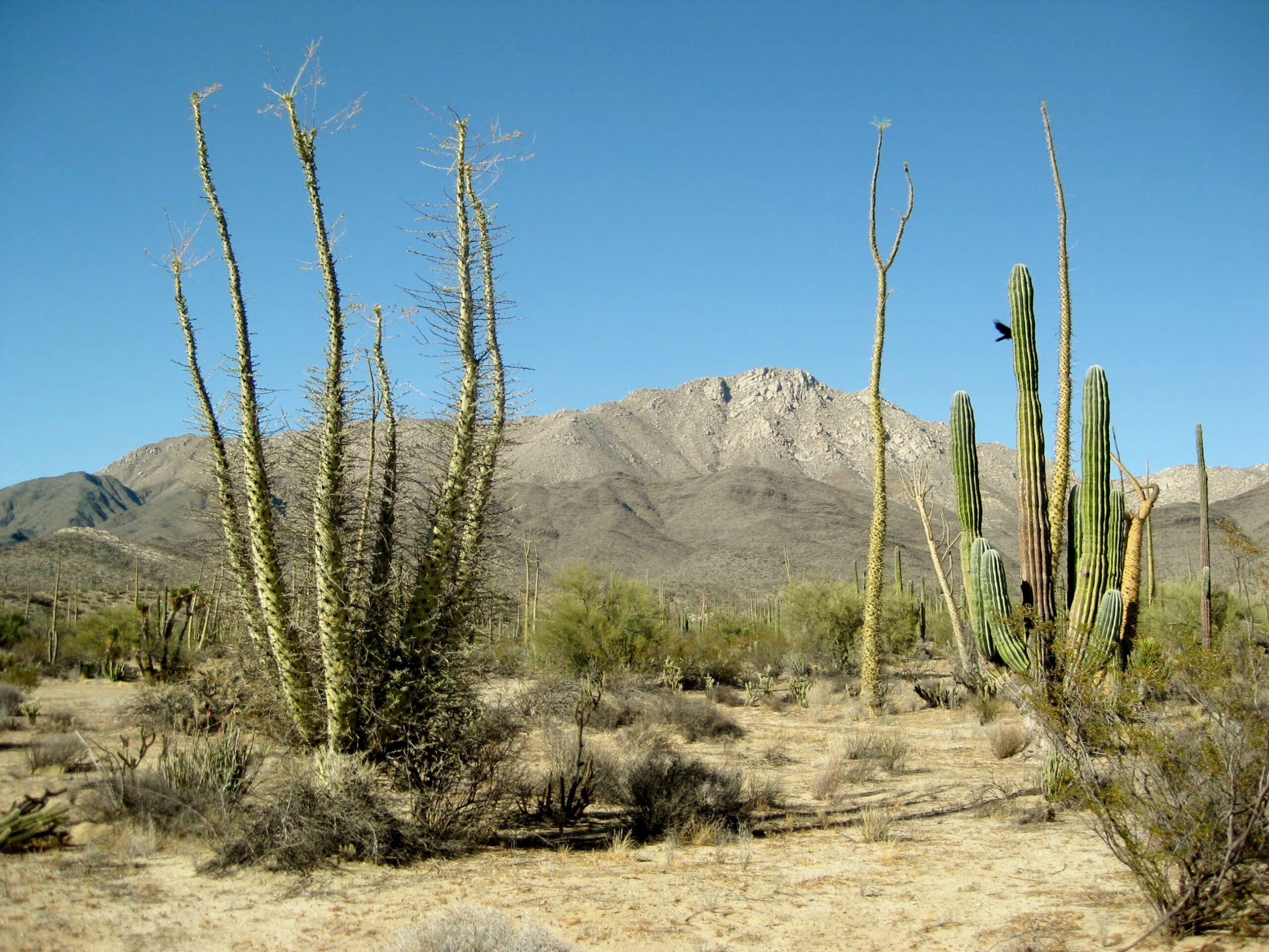
Continues on page 2:
There see Bahía de los Angeles, Las Flores, Montevideo, San Borja, Santa Rosalillita, Parador Punta Prieta, and more!