After the attack on Pearl Harbor, there was genuine fear that the Japanese would strike California next. In those years, Baja California was sparsely populated and void of modern roads or communication. There was an actual fear that the Japanese could have secret airfields and submarine bases in Baja California, and Mexico would not have a clue of their existence.
Once we gained the permission from Mexico, the United States built airfields in Baja to support the defense of California, including those at Ensenada (El Cipres), Camalu, El Rosario, and La Paz. To serve as an early warning, radar stations were placed at Punta Salsipuedes (20 miles north of Ensenada and later moved to Alisitos), Punta San Jacinto (125 miles south of Ensenada), and Punta Diggs (later known as ‘Punta Radar’, near San Felipe). Radar Station B-97 (near San Felipe) was operational from the summer of 1942 to 1944, when the threat of Japanese invasion had diminished.
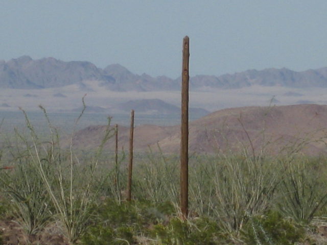
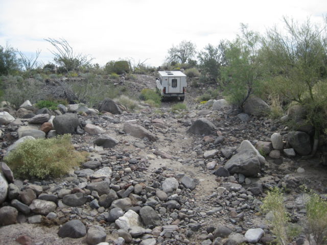
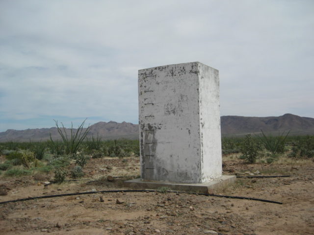
To have secure communication with the new radar base, a 150+ mile telephone line was installed from Ensenada to San Felipe. Where it crossed the uninhabited regions that were void of roads needed to access the line for construction and maintenance, a road was built. This ‘Pole Line’ road followed the terrain and was well removed from the normal, shortest route to San Felipe. Perhaps this was to help conceal its location from Japanese spotter planes?
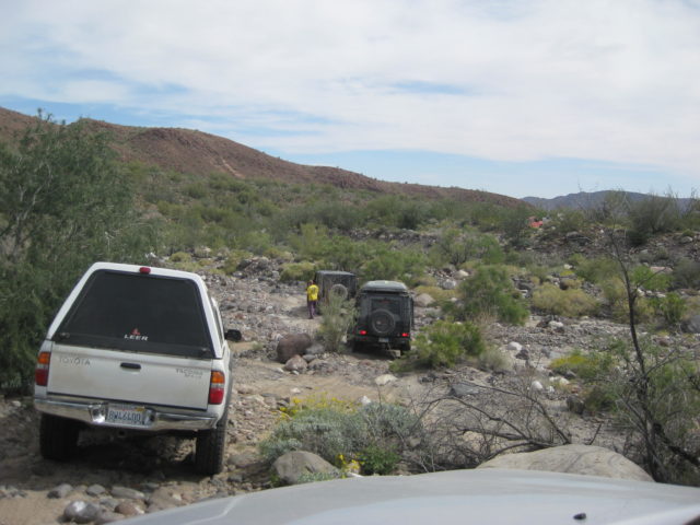
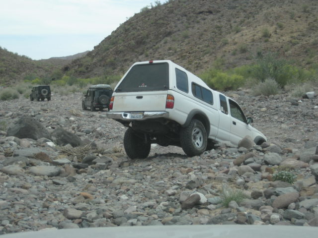
The Pole Line Road ventured away from the Ensenada/San Felipe auto road and went east of Mission Santa Catalina using a pass to the desert called ‘Portezuelo de Jamau’. The 1942 road dropped steeply into the desert from this pass which has been used for Baja off road racing since the 1970’s and referred to as ‘The Summit’. The bottom of the grade is in Arroyo el Saiz, and while the off road race route headed north here, the 1942 road went east and intersected the Mexicali/San Felipe highway (also built by the U.S.) about 35 miles north of San Felipe.
The first recorded travel log and map of the Pole Line Road was in the 1962 edition of the Lower California Guidebook describing the route from Arroyo Grande west to Portezuelo de Jamau. Several years ago, desert explorer Neal Johns awakened an interest in this road and that started several group excursions over it, led by Ken Cooke.
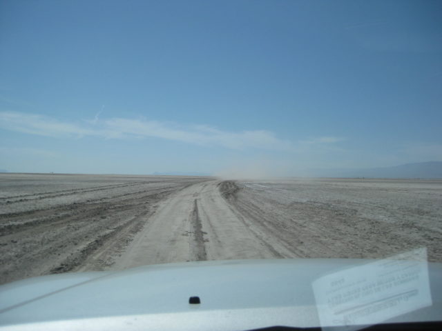
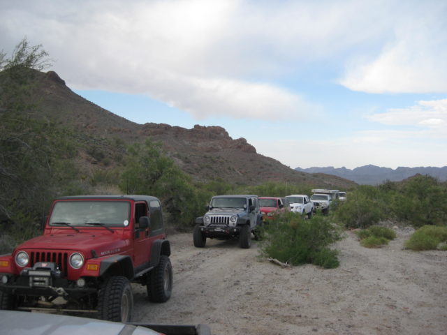
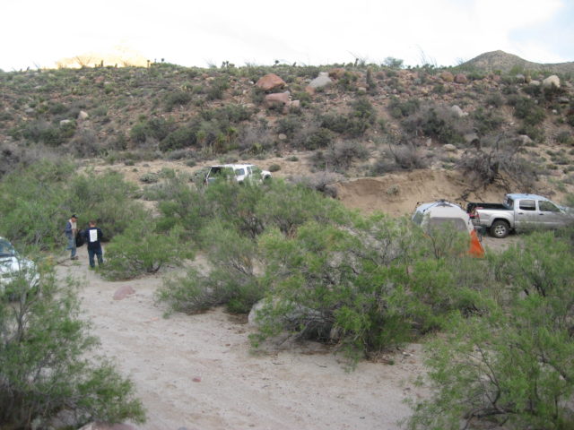
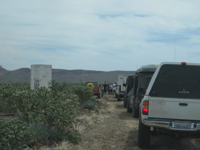
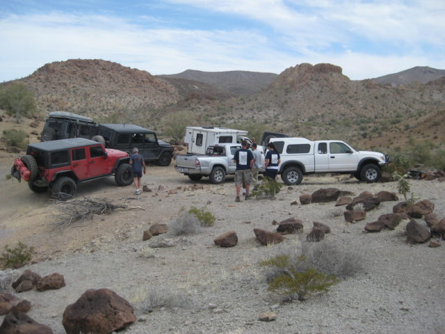
On Easter Sunday, 2015, 12 vehicles caravanned together to follow the line road from the bottom of Portezuelo de Jamau grade to Arroyo Grande, then east out to Highway 5 at Km. 106.5 (1 km. south of La Ventana). We accessed the Pole Line Road by entering Mexico at Mexicali and then driving west some 20 miles on Hwy. 2 to Laguna Salada. A second option was the graded road signed for Cañon de Guadalupe, a couple more miles west. Being that the weather was dry, the 24 miles drive on a dry lake was preferable to the same distance on a ‘washboard’ graded road.
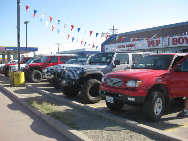
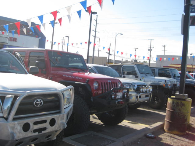
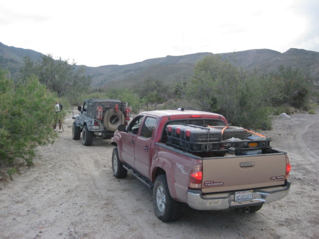
The Sunday Pole Line caravan was led by Ken Cooke in a Jeep Wrangler Rubicon and he was followed by Ed (Jeep Rubicon), Huitzi and Agustin (Jeep Rubicon), Will and Elite (Ford Bronco), Larry and Alma (Nissan Frontier), Tom (Toyota Tacoma), Joe (Toyota Tacoma), Mike and Sheri (Toyota Tacoma), Harald (Mercedes G Wagon), Karl (Mercedes G Wagon), David (Toyota Tacoma), and Chuck (Jeep Rubicon). This group had heard about the trip on one of the Internet sites Ken invited people to join in.


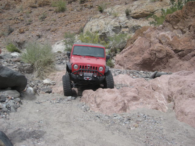


ChuckMRN made a video, featuring the Basketball Hill climb: https://www.youtube.com/v/Xi65xOxhjcM
Continue on page 2 >>>