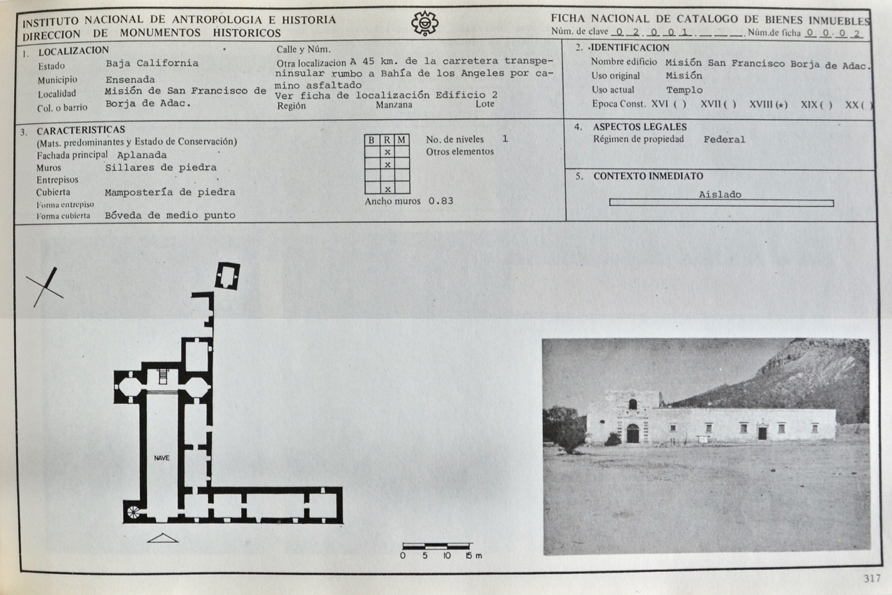
Full name: San Francisco de Borja Adac
Founding date: September 1, 1762 Mission #16
Catholic Order: Jesuit
Founded by: Padre Wenceslaus Linck
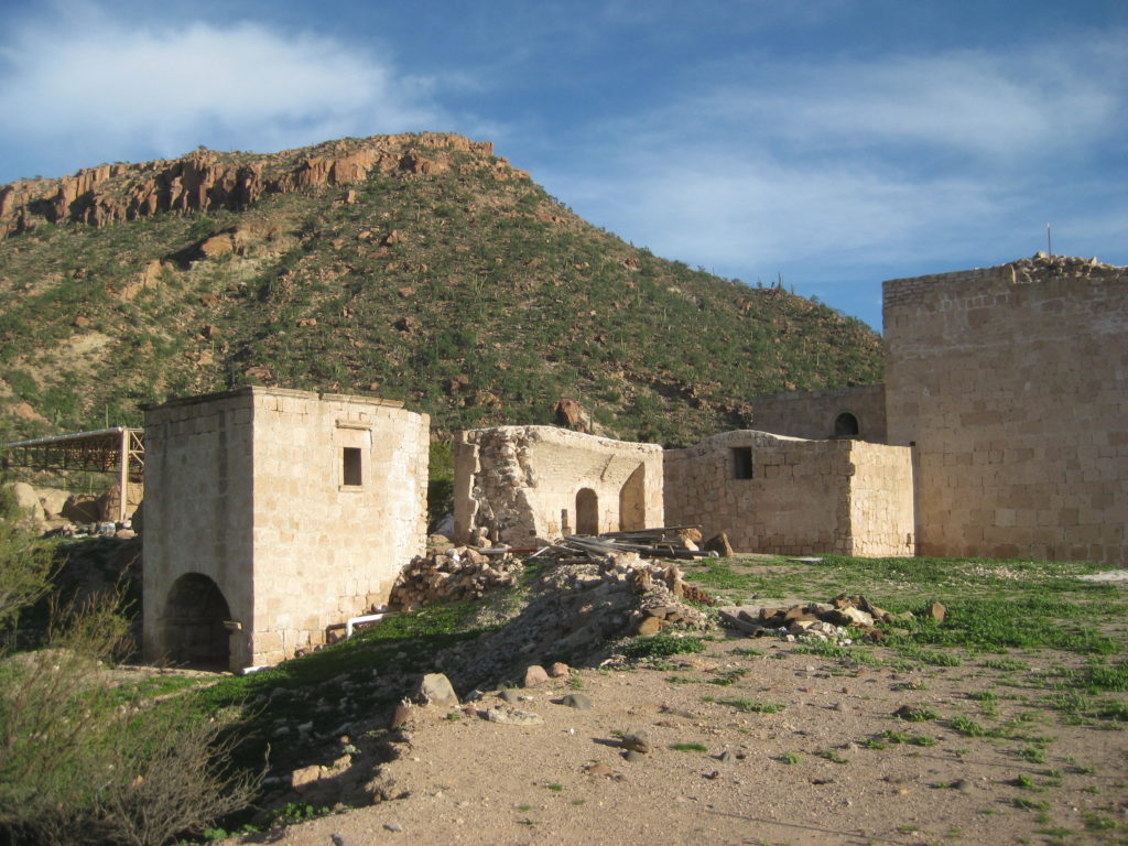
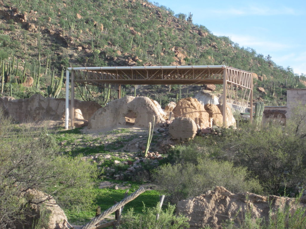
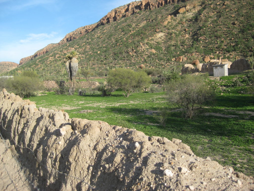
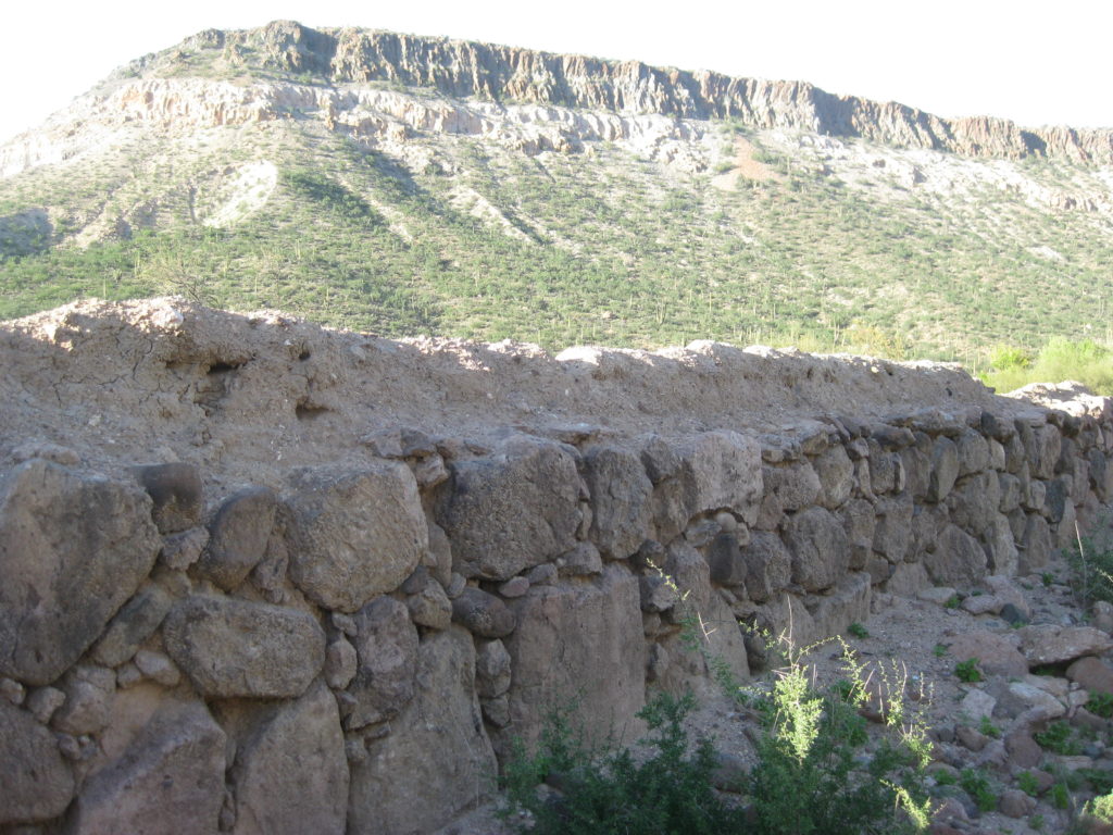
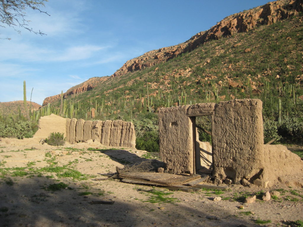
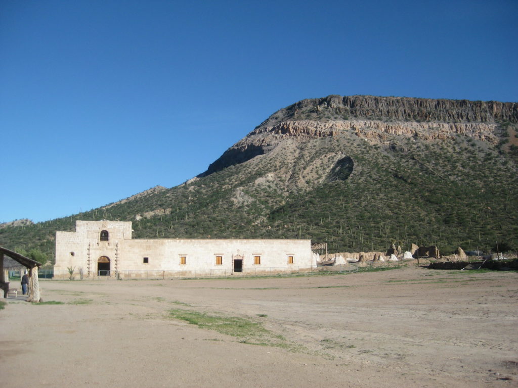
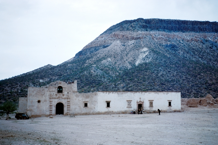
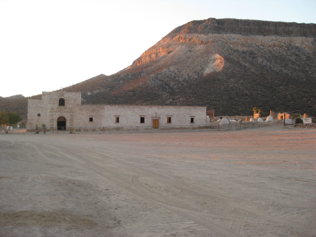
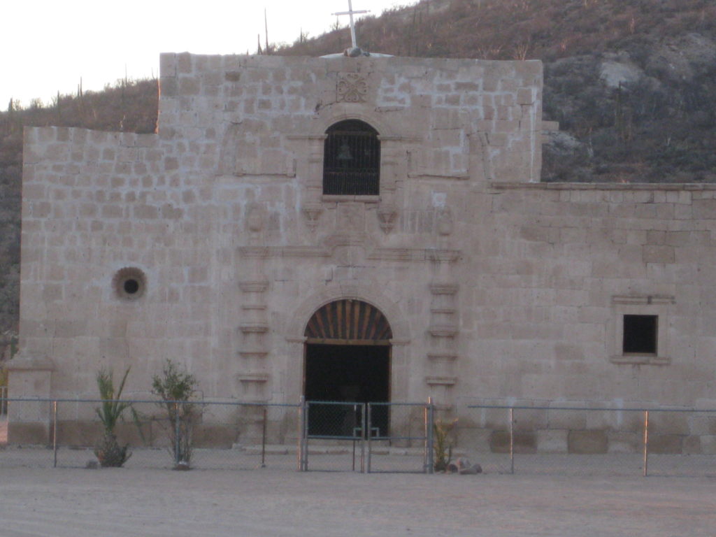
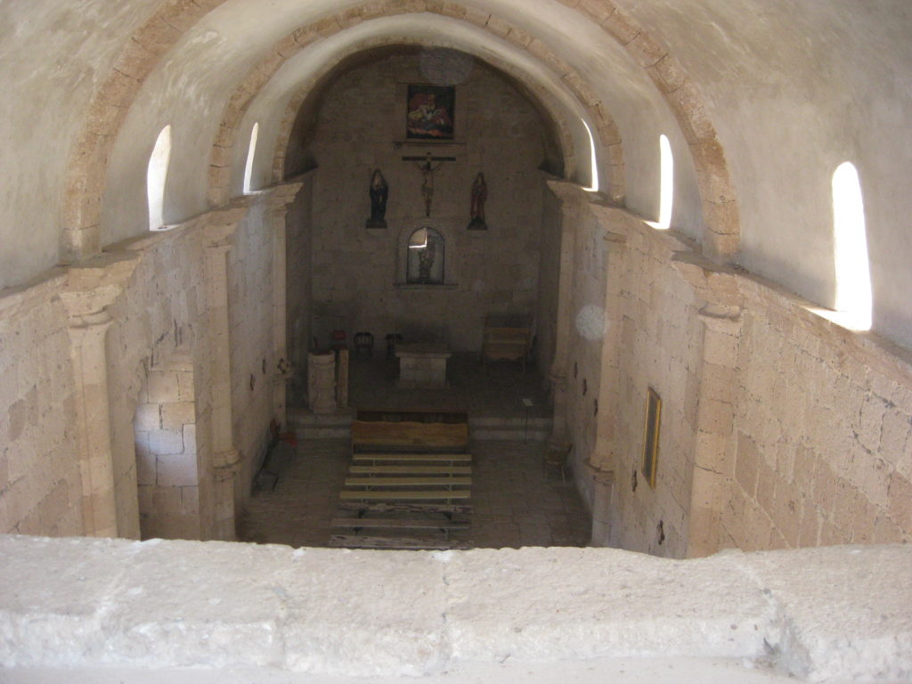
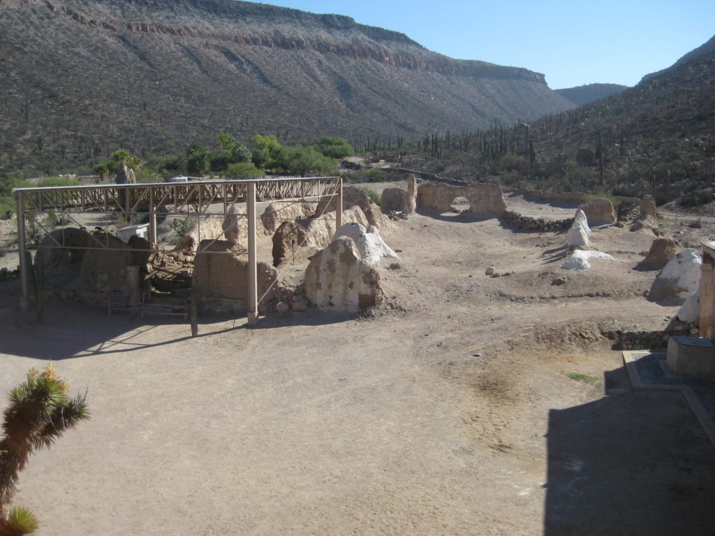
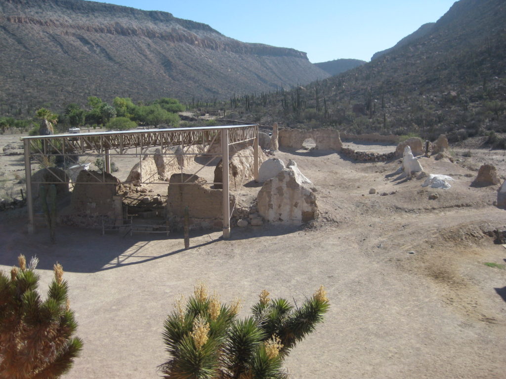
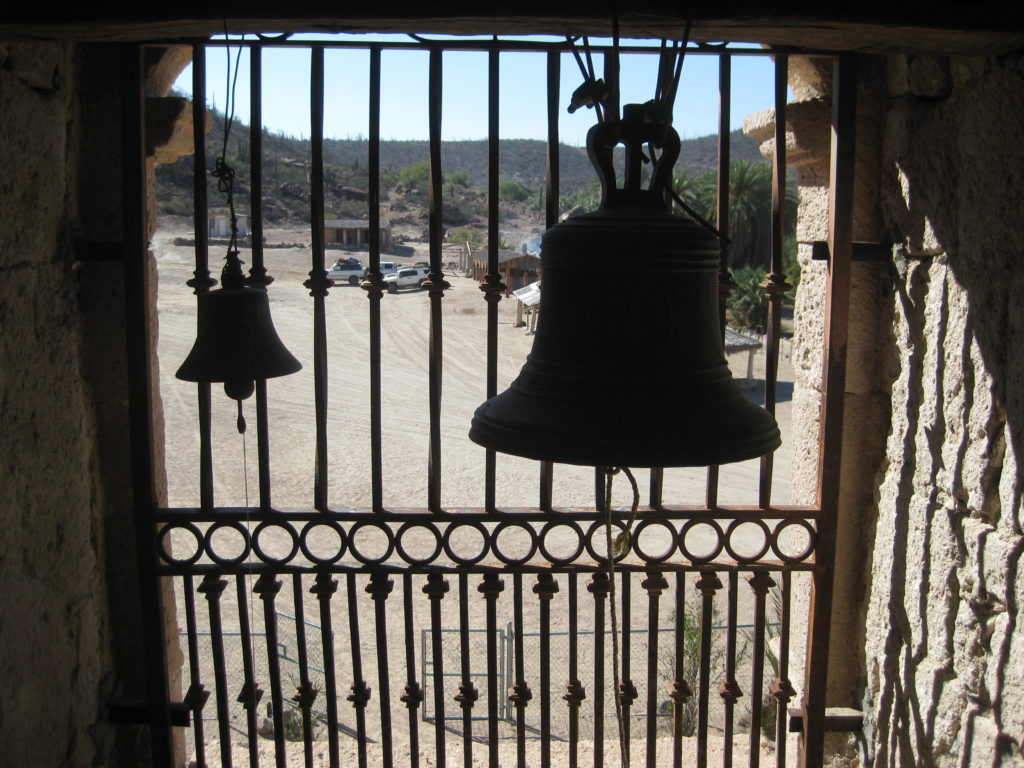
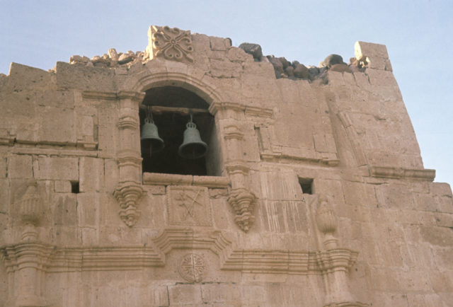
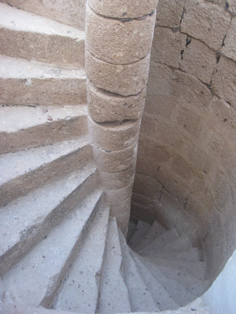
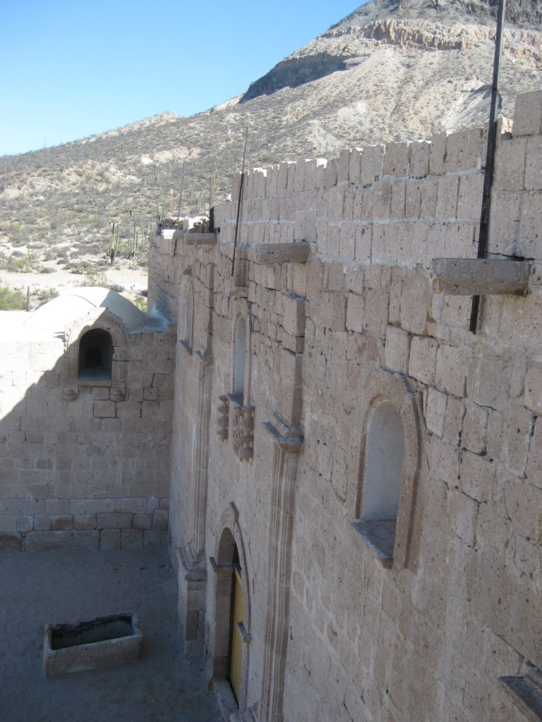
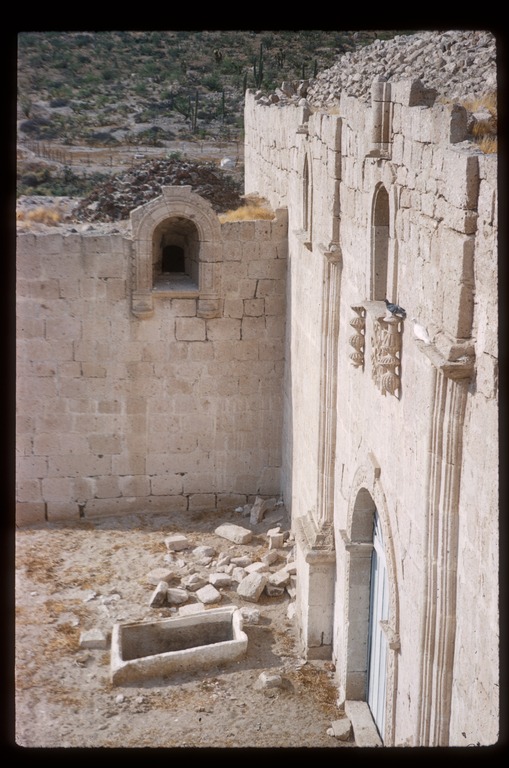
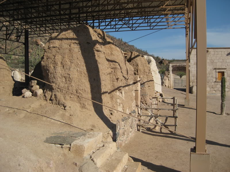
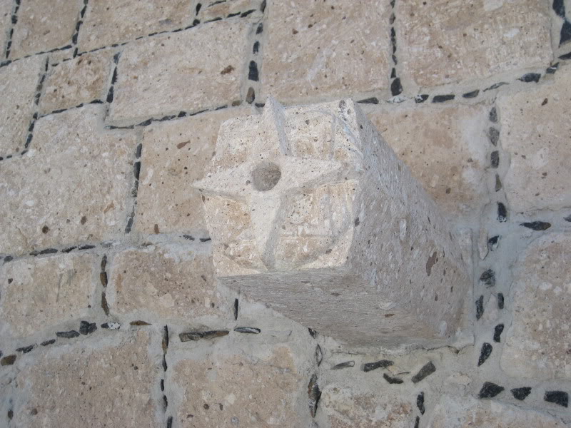
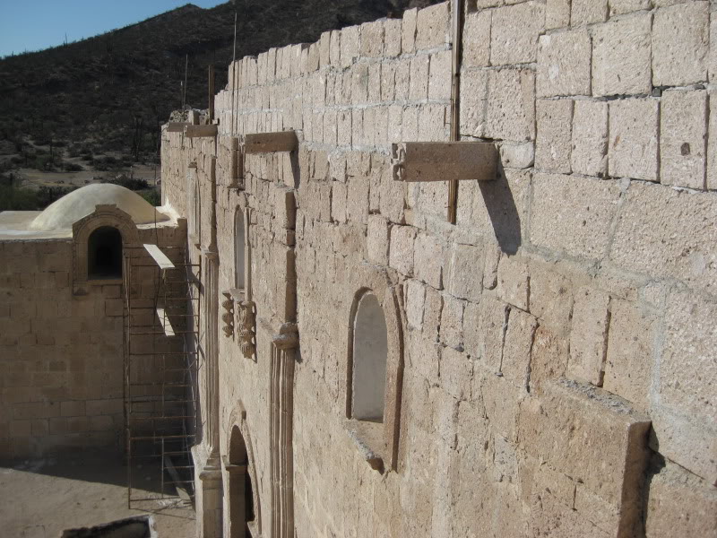
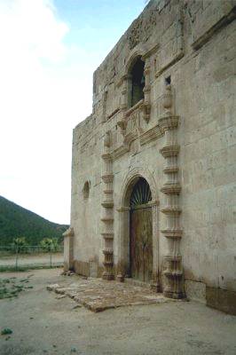
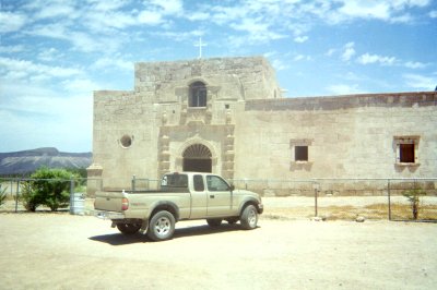
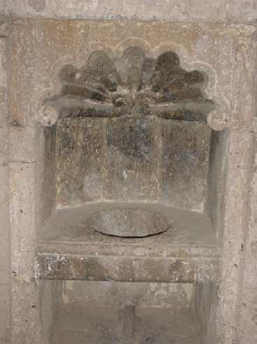
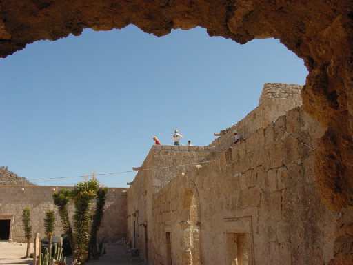
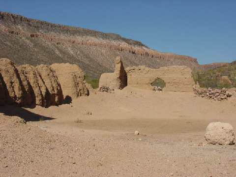
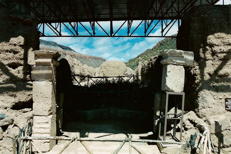
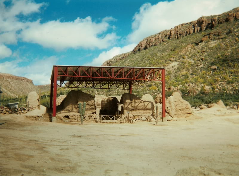
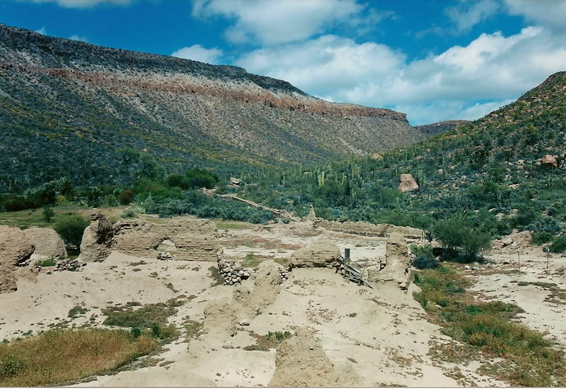
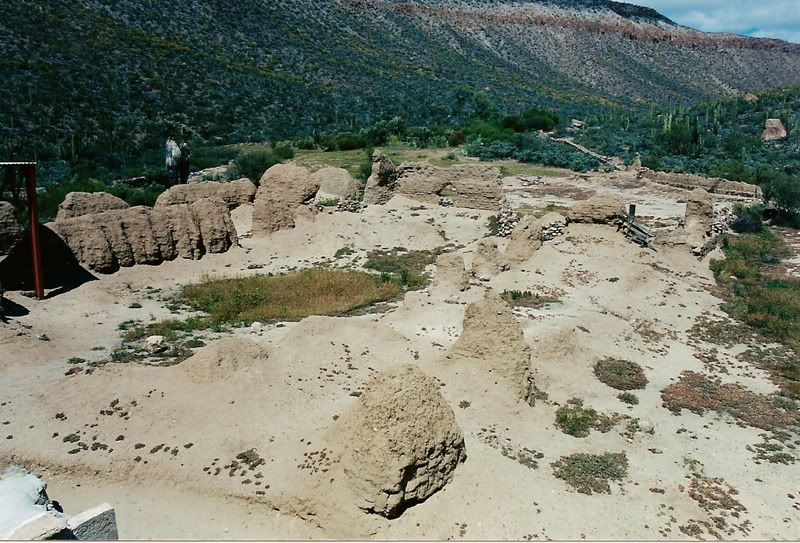
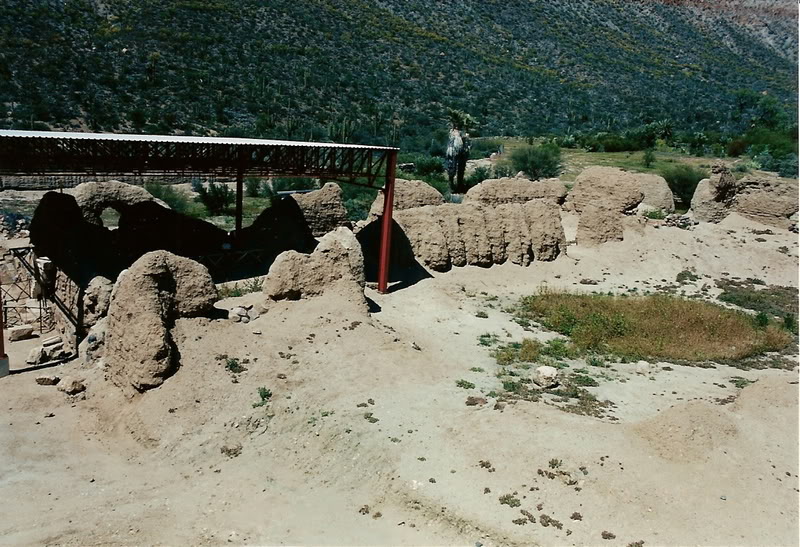
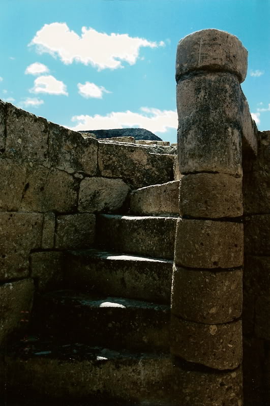
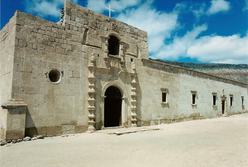
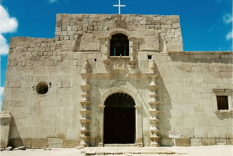
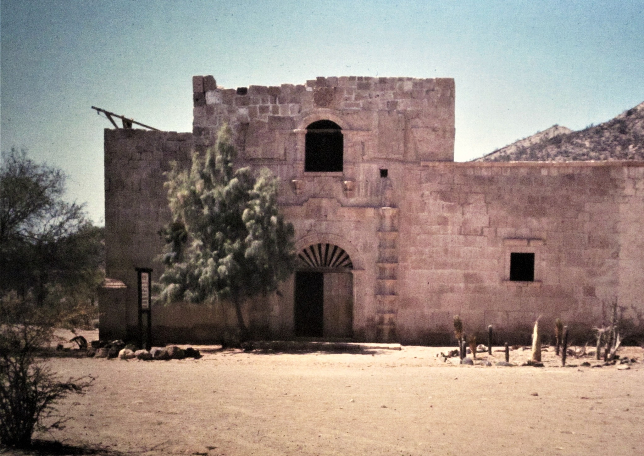
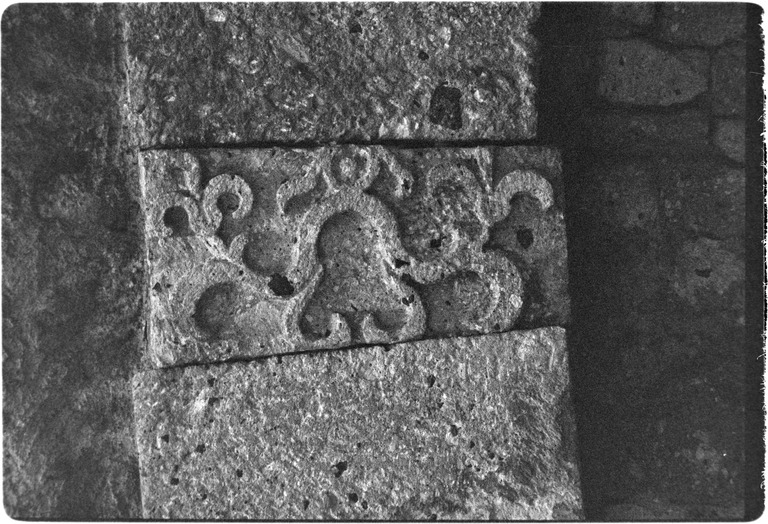
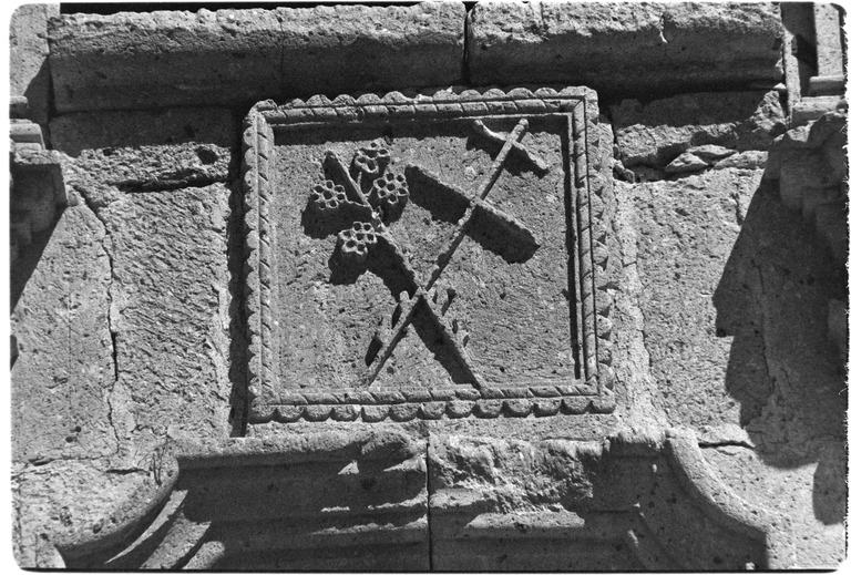
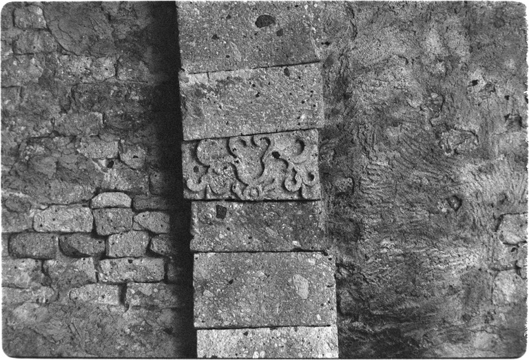
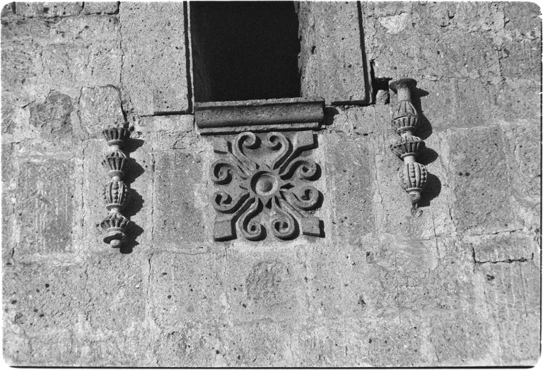
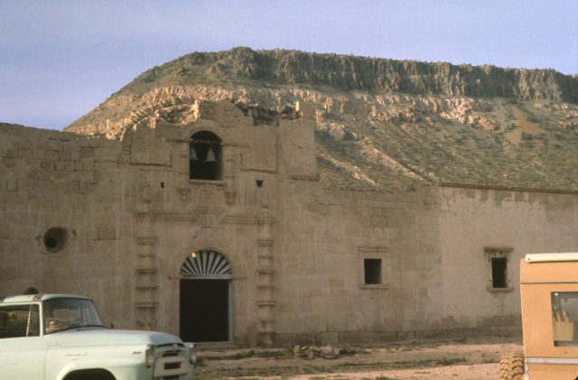
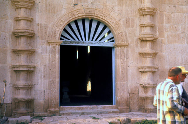
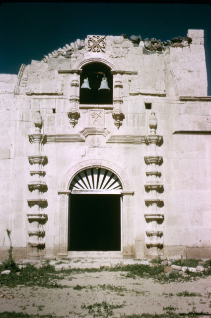
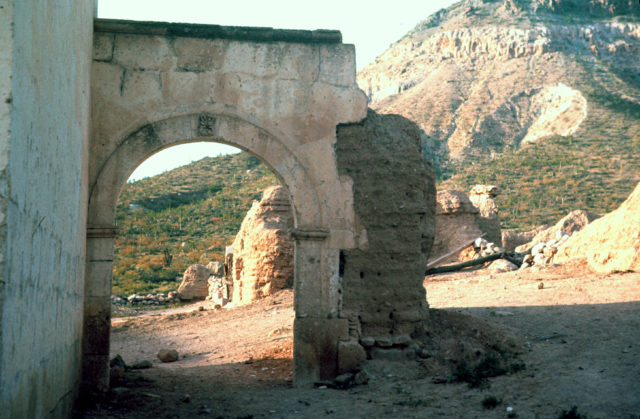
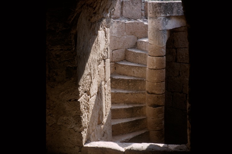
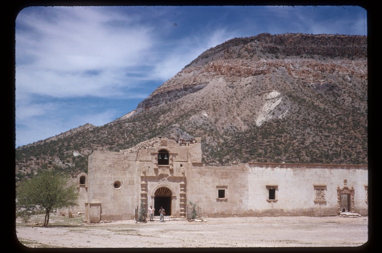
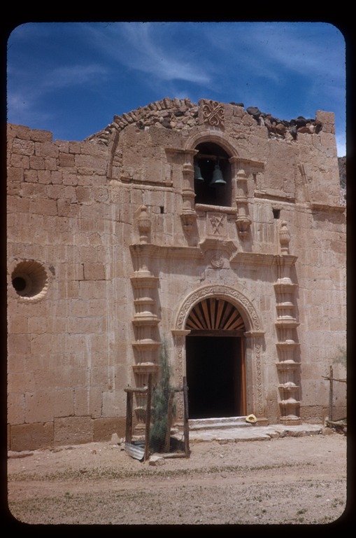
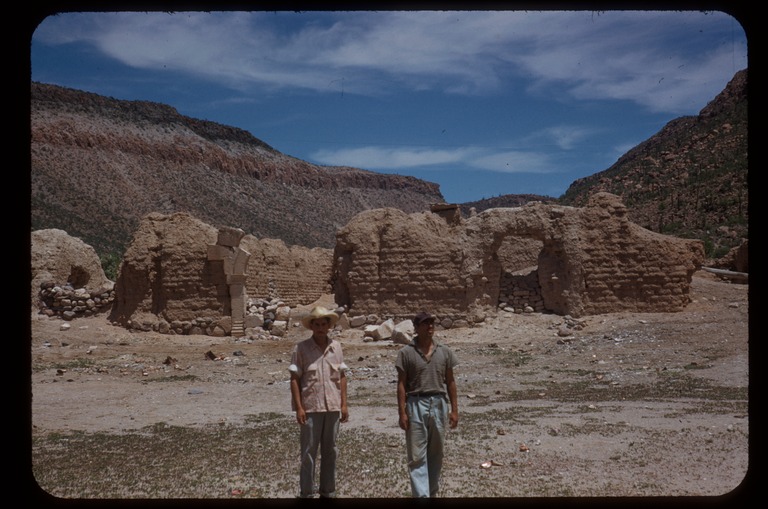
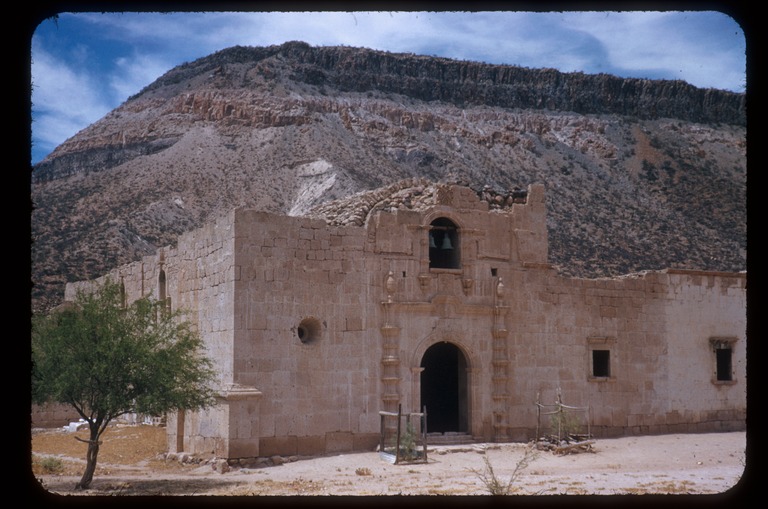
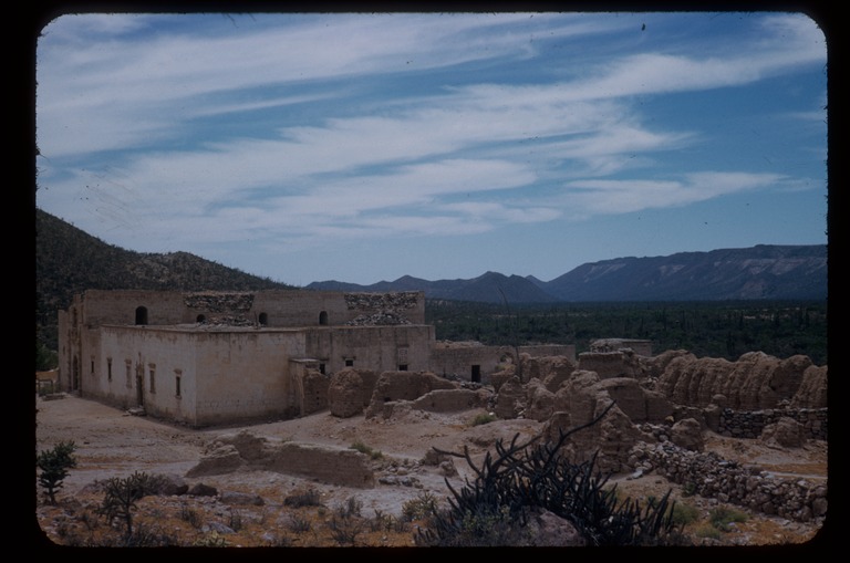
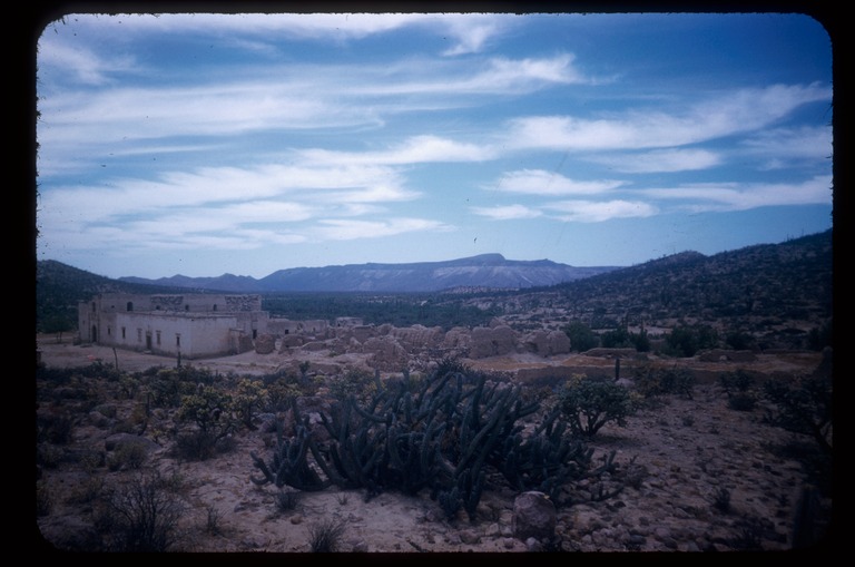
Condition: Adobe ruins from 1759-1773. Stone church from 1801.
Closing date: Closed in 1818
GPS: 28.744547, -113.753997
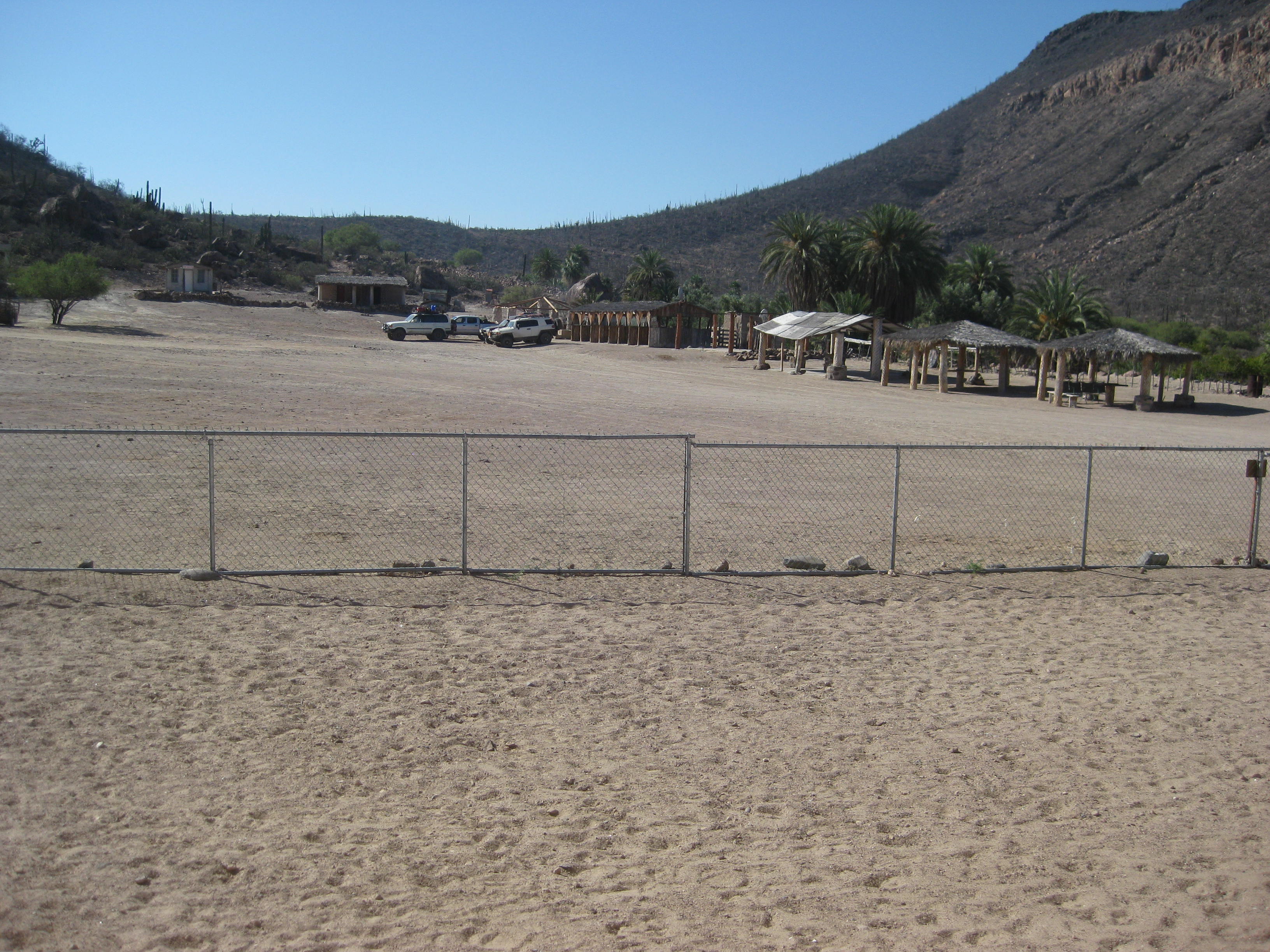
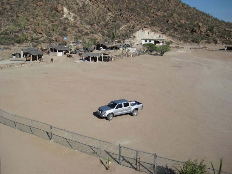
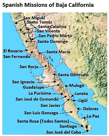
Access: Mex. #1 Km. 52 (south of Punta Prieta at Nuevo Rosarito), east 22 miles or Mex. #12 Km. 45 (L.A. Bay highway), south 21 miles.
Read more: CLICK HERE
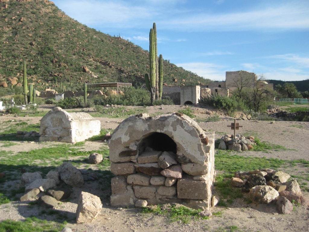
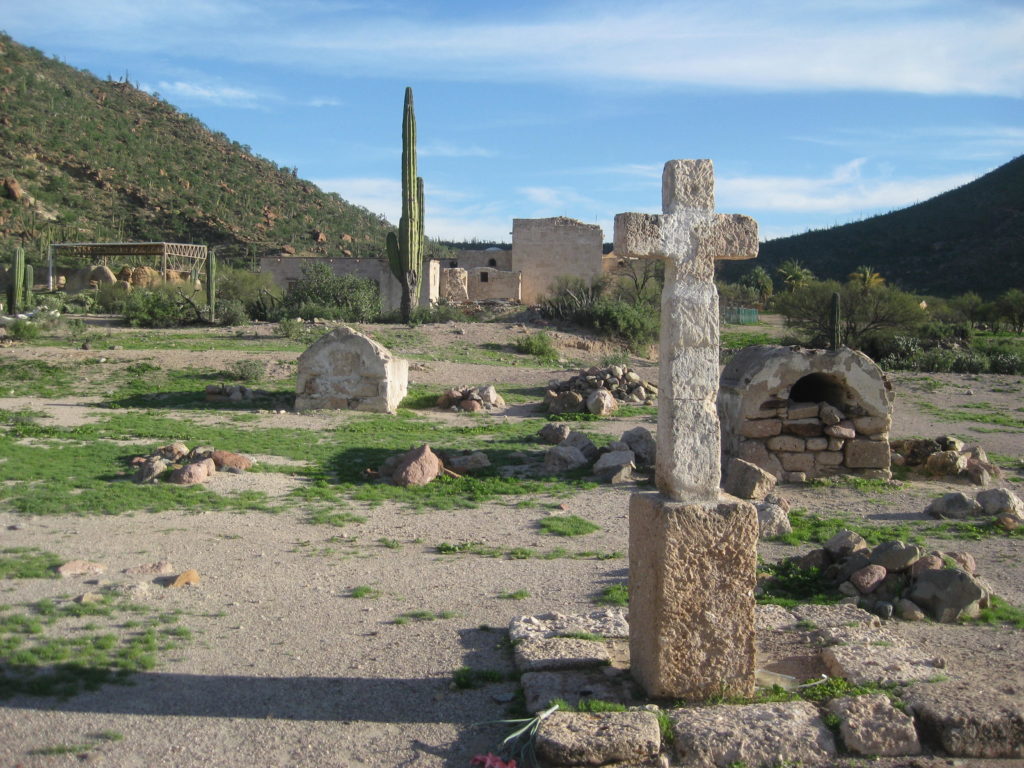
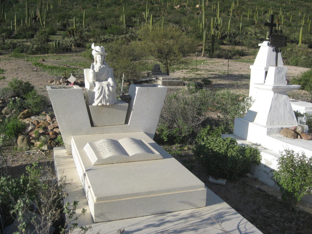
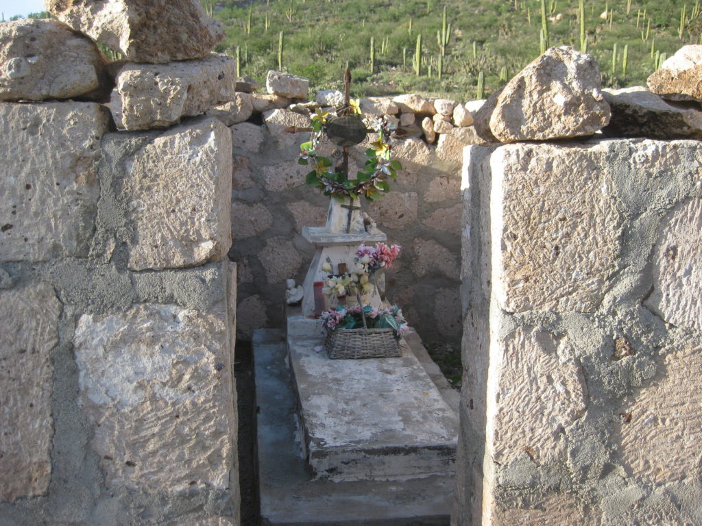
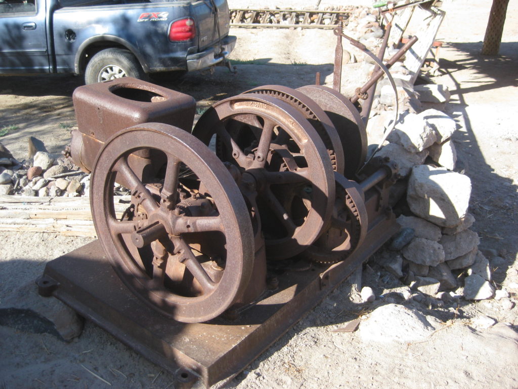
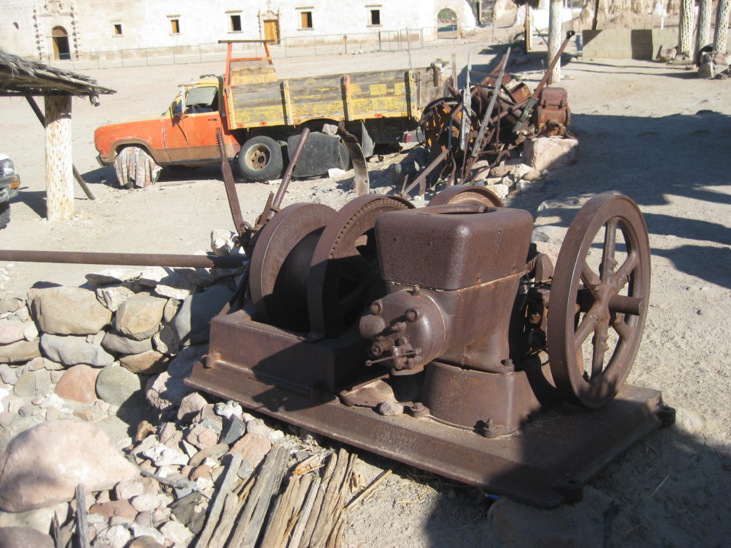
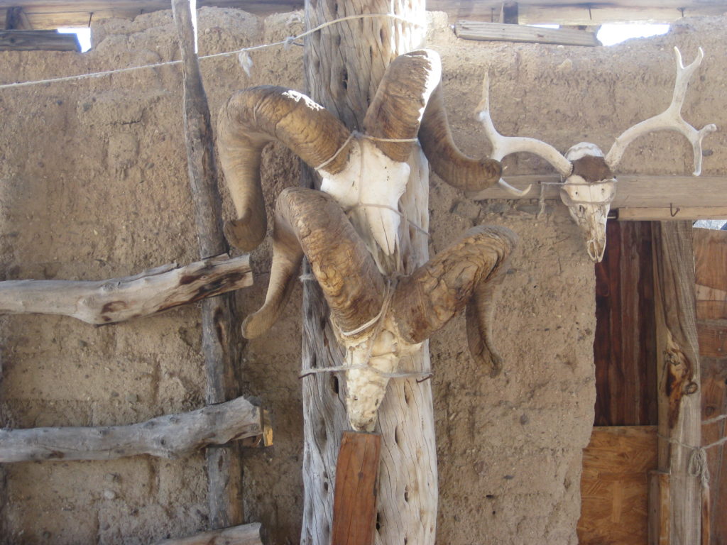
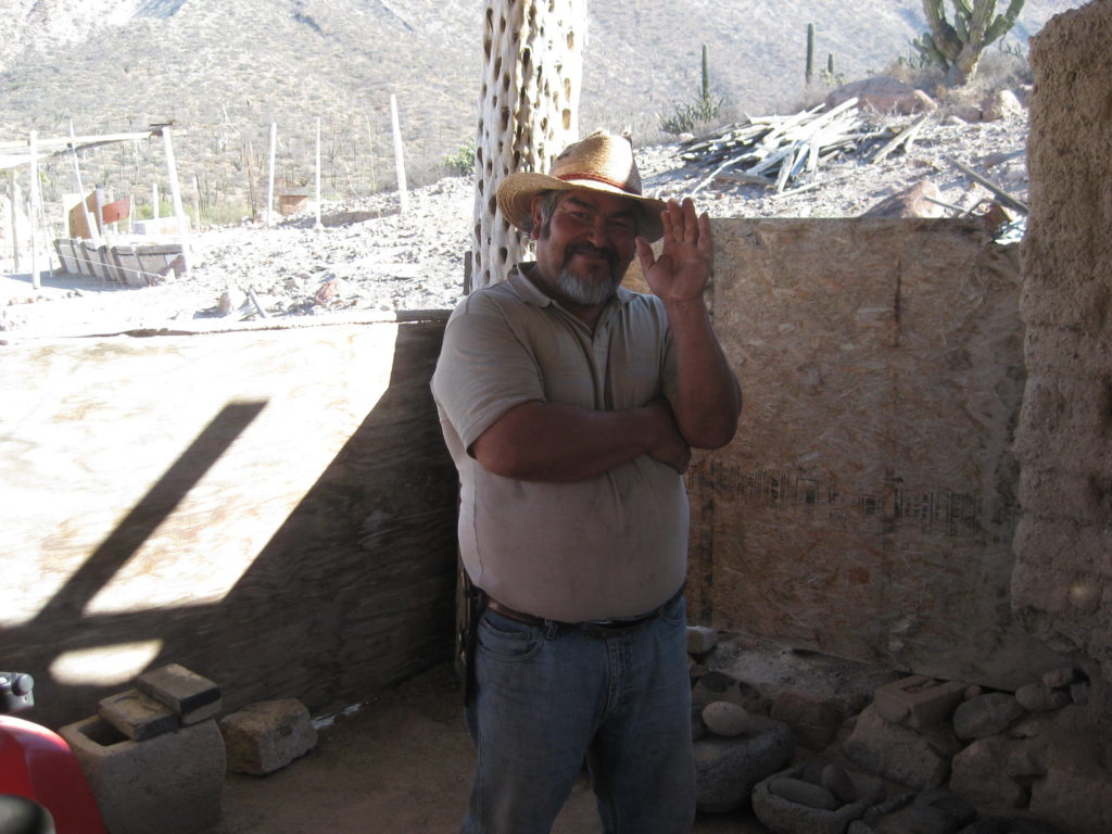
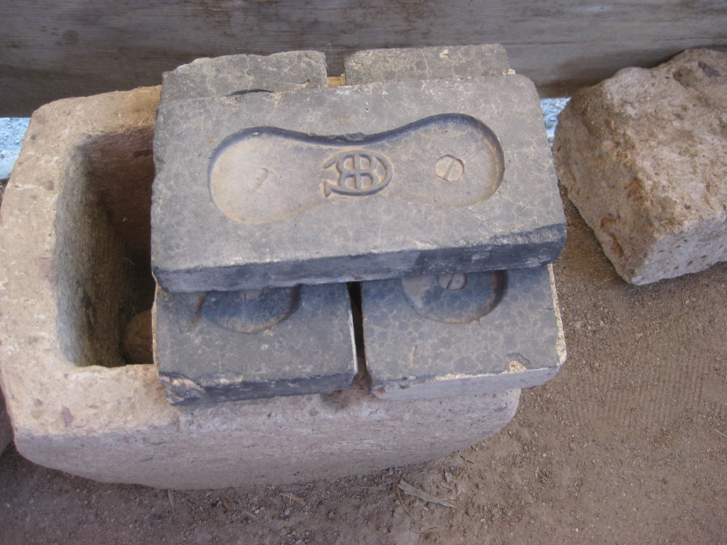
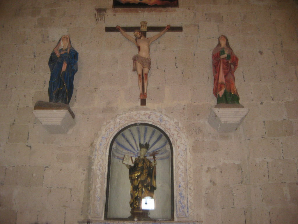
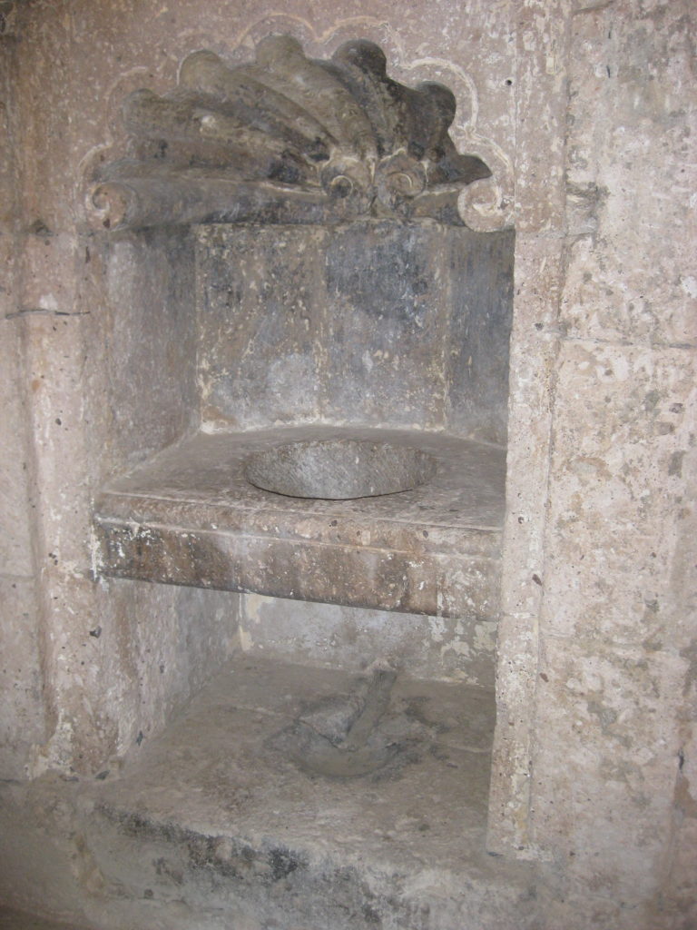
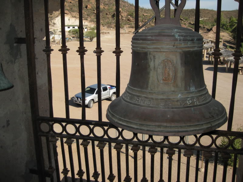
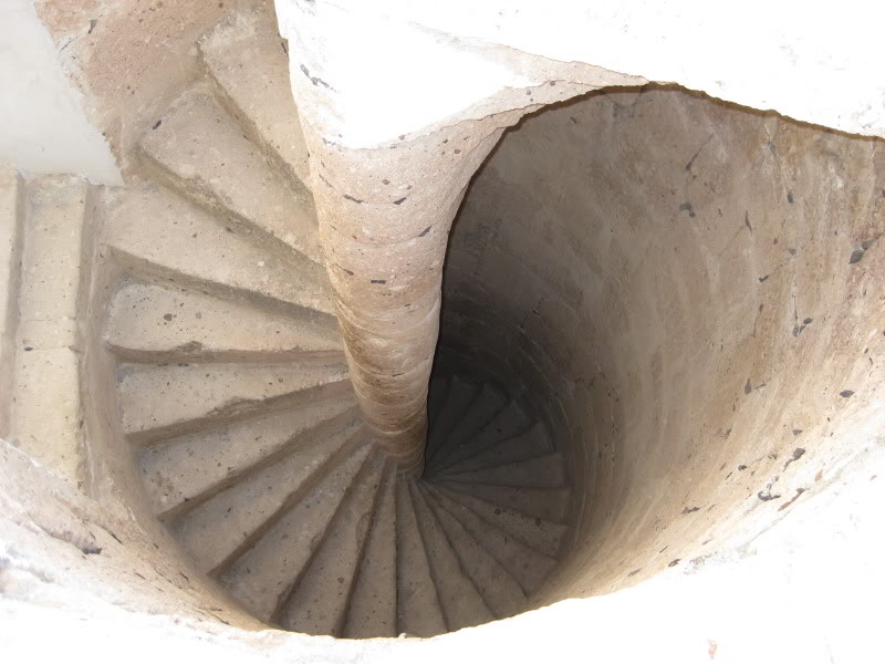
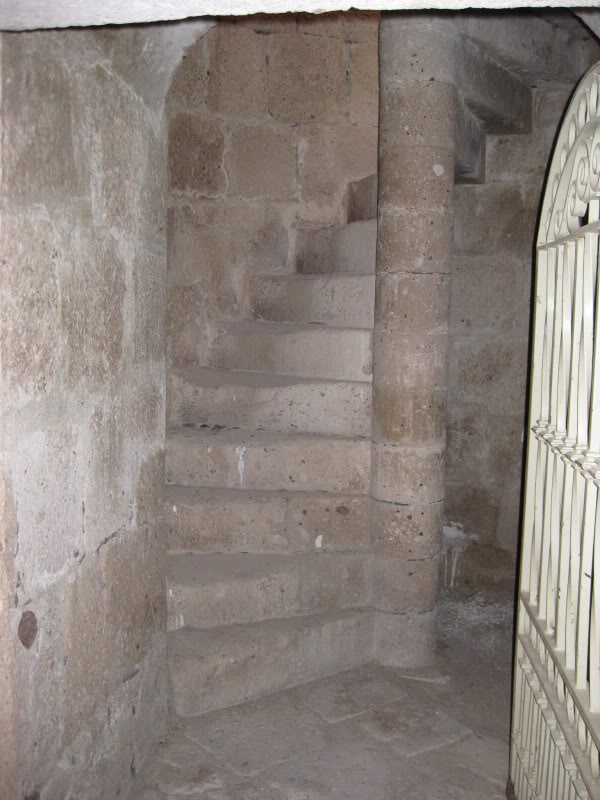
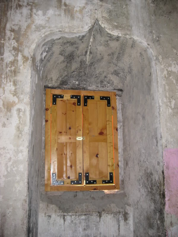
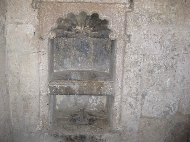
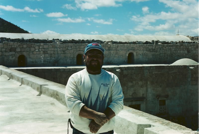
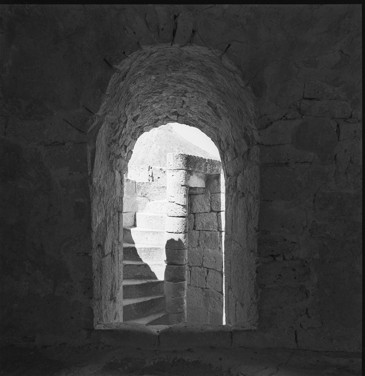
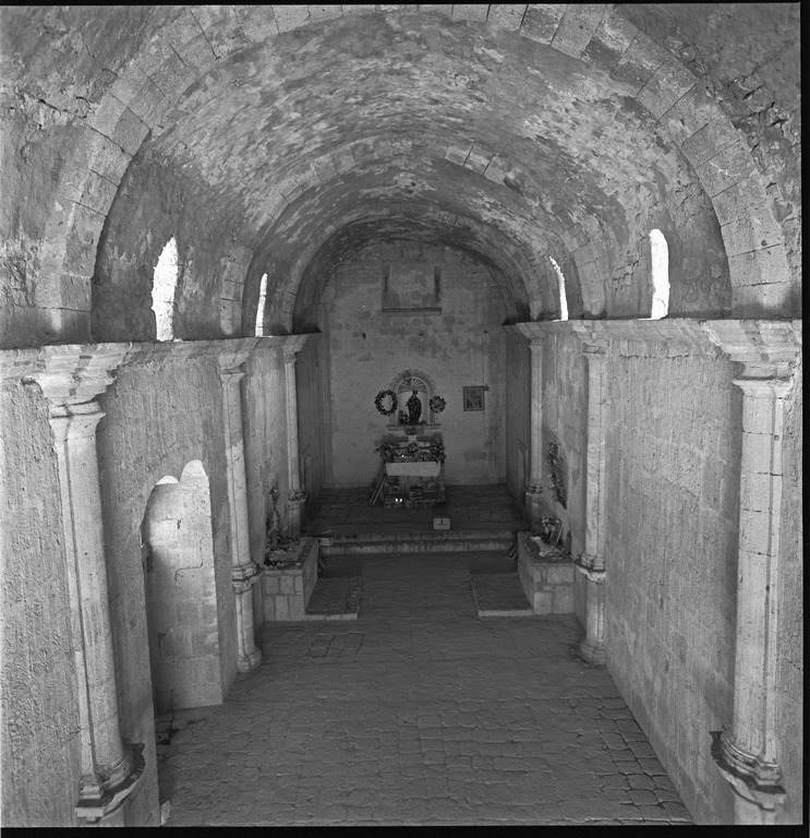
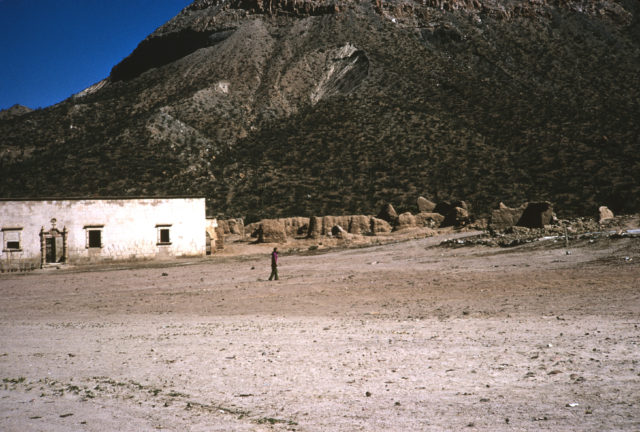
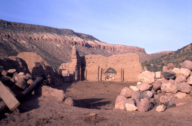
The following are photos at San Borja from my seven visits there, followed by photos from others.
>> To see where this mission is, maps and directions at the bottom of this page <<
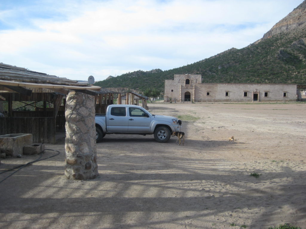
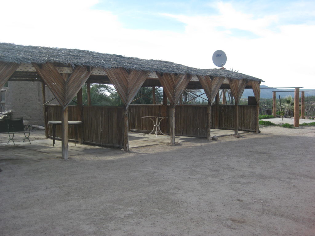
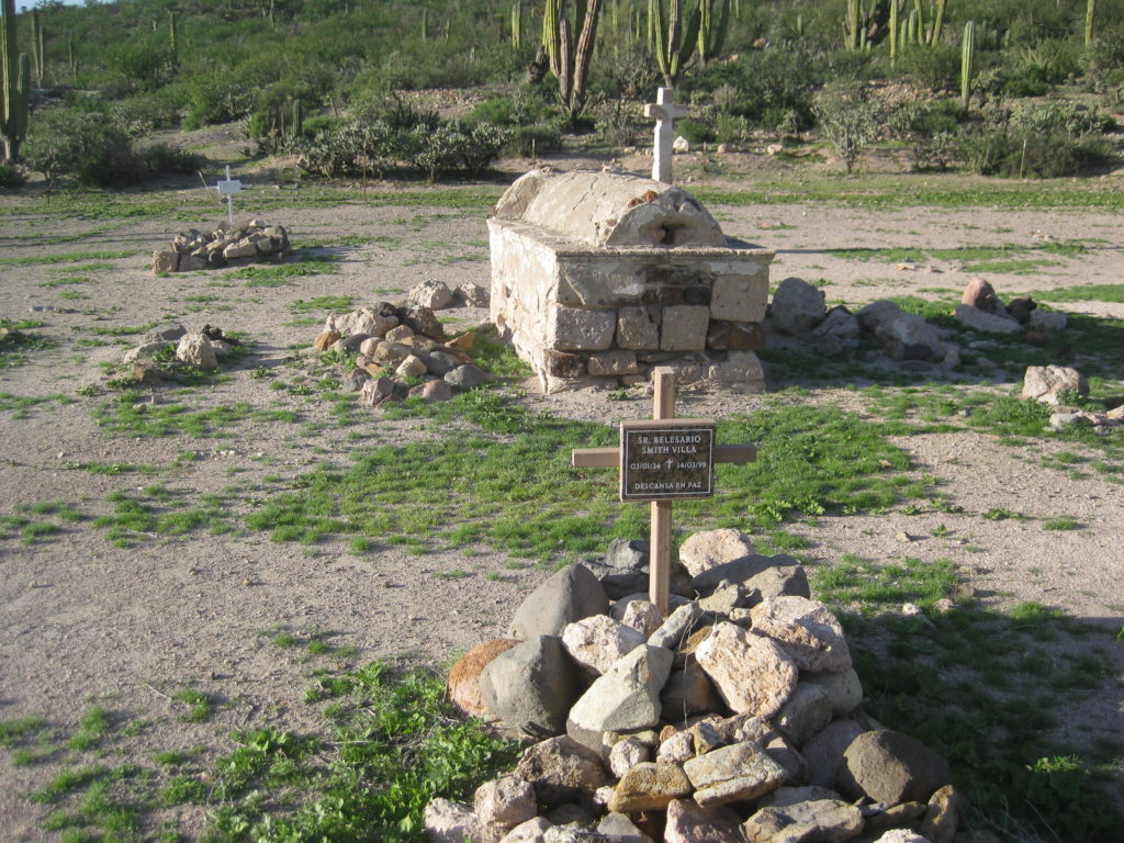
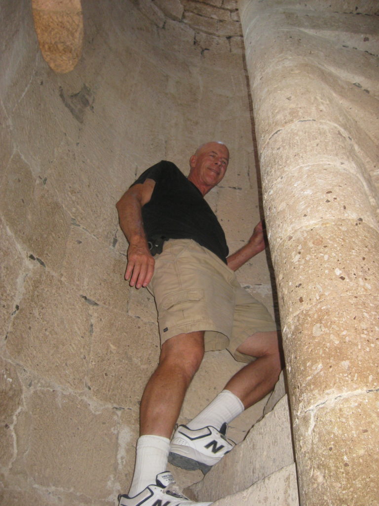
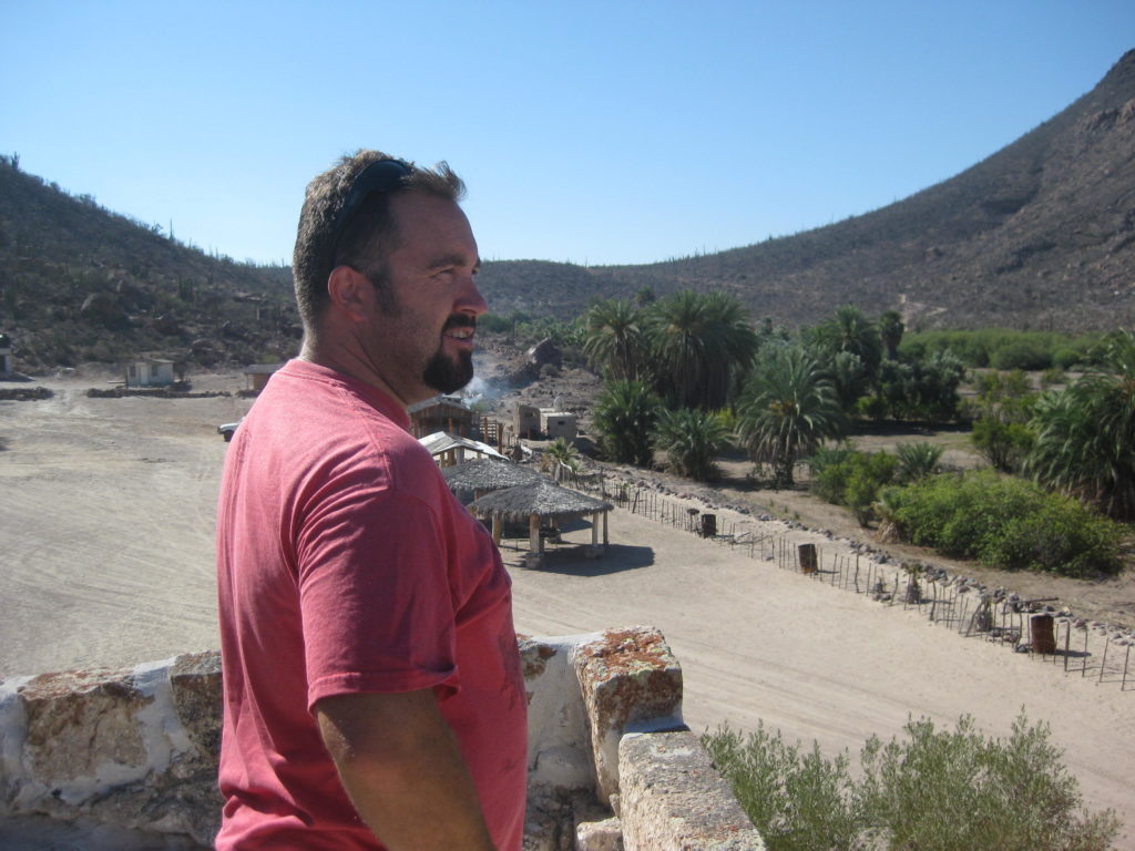
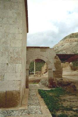
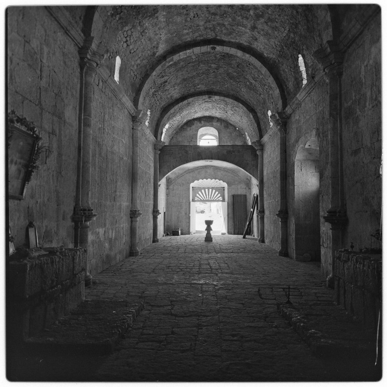
Feb. 2017


A 1949 photo by Marquis McDonald, to compare:
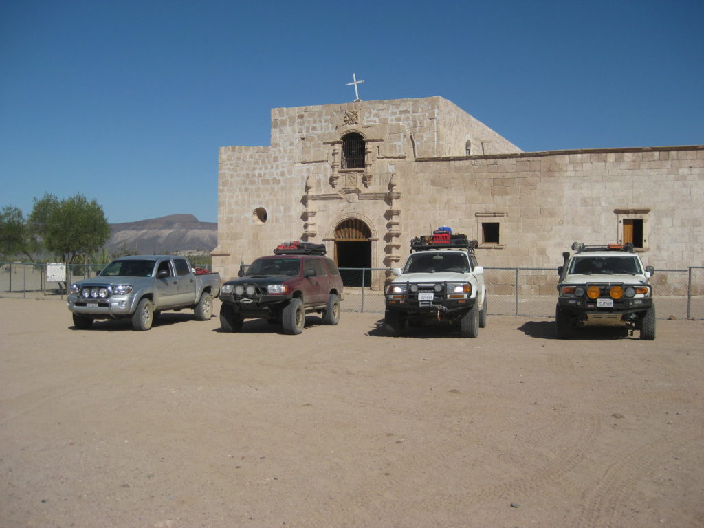
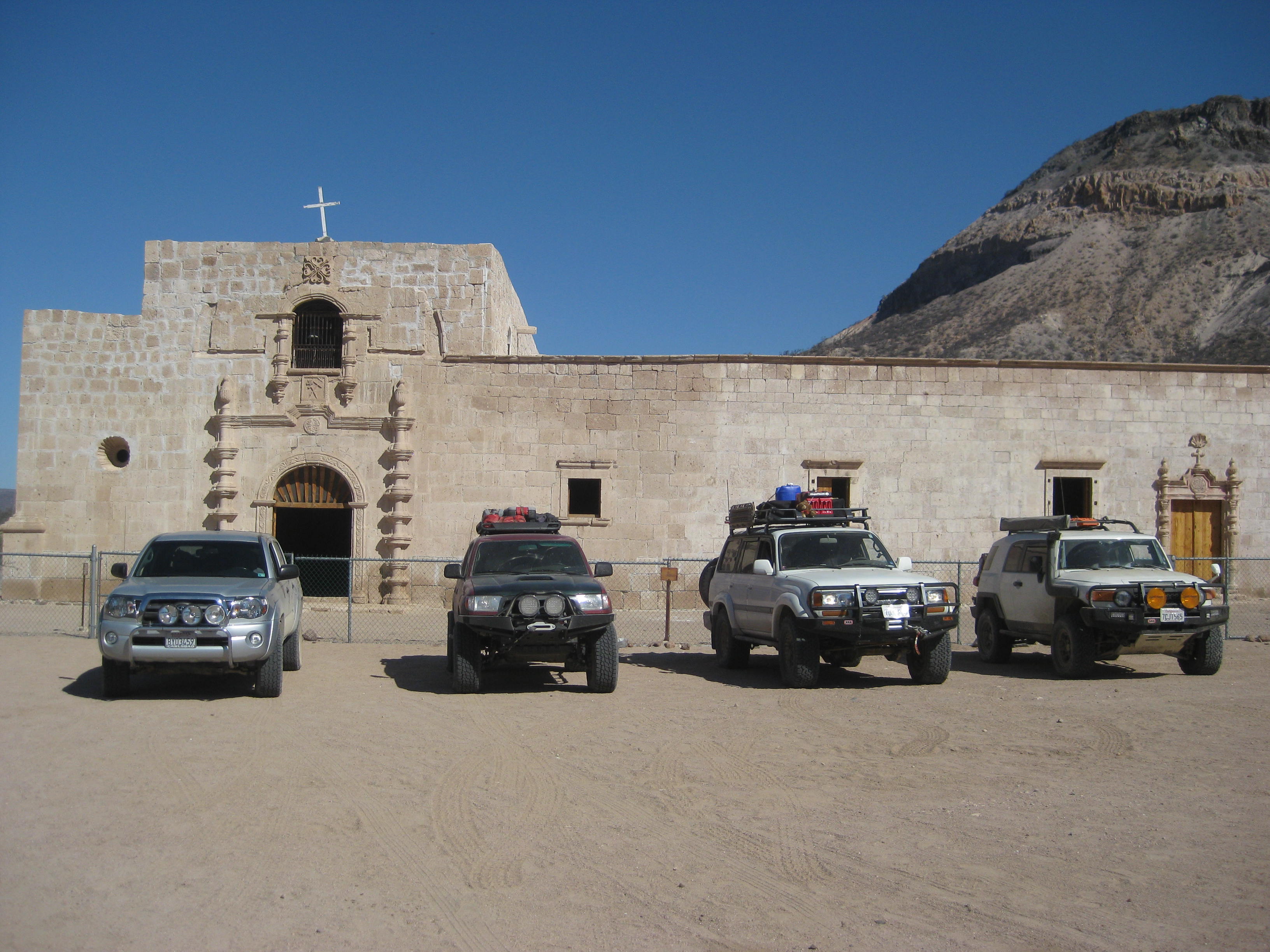
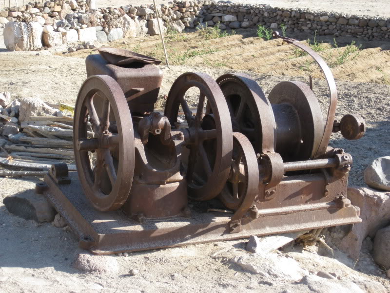
Sept. 2016


A 1960 photo by Howard Gulick, to compare:

July 2009


Jan. 2004
July 2003


Apr. 2002

Apr. 2001

Photos from others:
Nov. 5, 2000 by Jack Swords


April 1975 photo by Randy Monroe
1974 Photos by Harry Crosby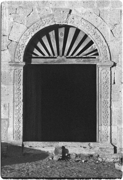
1967 photos by Harry Crosby 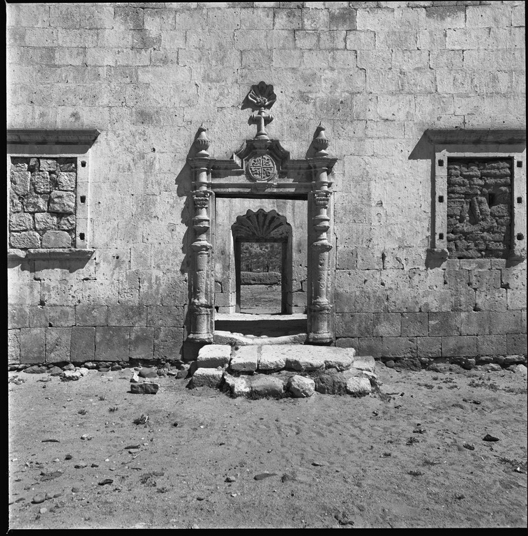
1960s by Choral Pepper


1960s photos by Erle Stanley Gardner


Photos by Howard Gulick in 1960:
Photos by Howard Gulick in 1954:
Photos from Howard Gulick in1952:
1949 photo by Marquis McDonald
1906 photo by Arthur North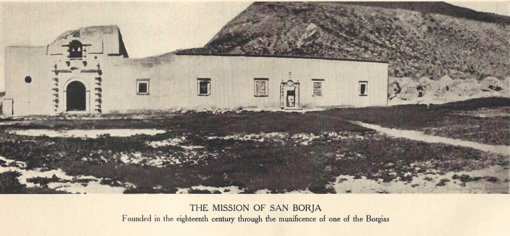

Site plan from INAH and maps:

- GPS: 28.744547, -113.753997
- Directions: Bahía de los Angeles Highway, Km. 45, south 22 miles OR Highway 1, Km. 52, south of Punta Prieta, 21 miles east. Both roads are best done in a truck or SUV.
- Mission Santa Gertrudis in photos: https://vivabaja.com/santa-gertrudis/ (next mission south)
I hope this was interesting or informative for you! Please be welcome to join our Baja California Land of Missions Book Group, on Facebook: HERE
- All the missions, quick look and history, north to south: HERE
- Other mission photo pages plus more Baja California history: HERE
- VivaBaja.com home page
The following chapter is from my book, Baja California Land of Missions Order your own copy from Amazon Books: HERE
#16 San Francisco de Borja Adac (1762-1818)
The Jesuits had decided to expand their missions northward after Fernando Consag’s sea voyage in 1746 proved that California was not an island. Yet nearly twenty years later, the island versus peninsula issue was still being debated. A chain of missions north from San Ignacio and around the Gulf of California to the missions in Sonora was started in 1752 with the founding of Mission Santa Gertrudis. The Jesuits were removed from the New World before the missions on both sides of the gulf could be connected and the impetus for that plan ended as well.
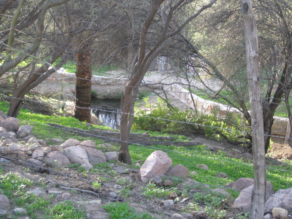
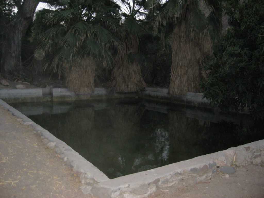
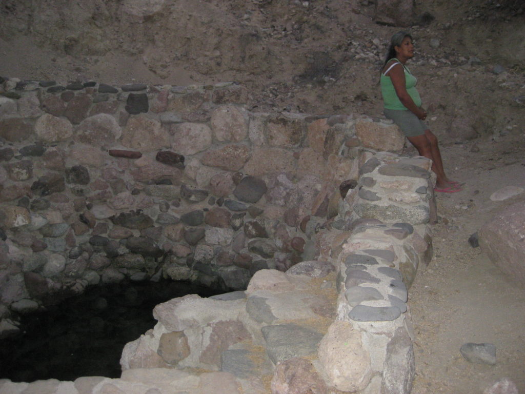
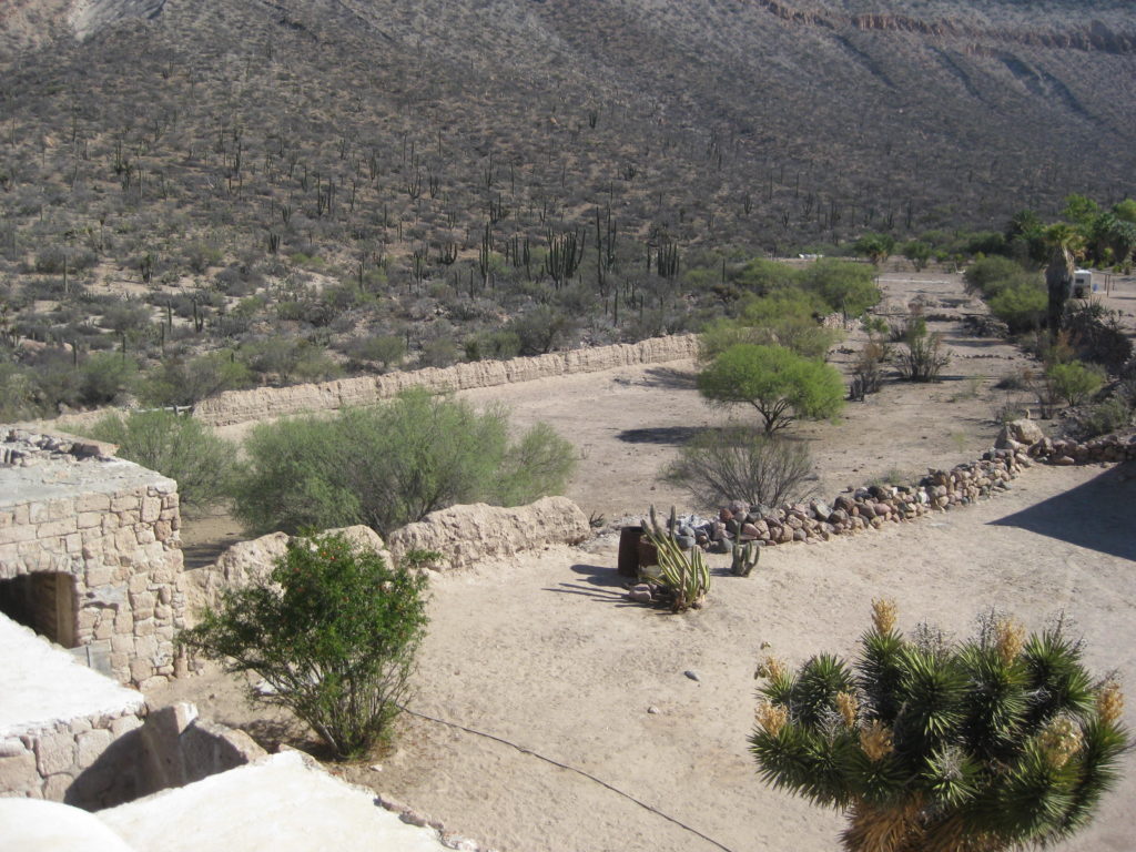
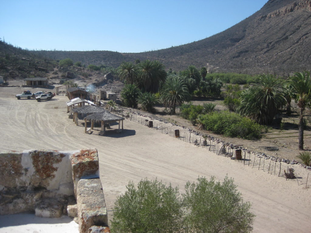
Land expeditions by Padre Consag in 1751 and again in 1753 failed to find an acceptable site for the next mission to be established to the north. Padre Georg Retz of Santa Gertrudis then began to send his neophytes out in search of possible mission sites. By 1758, Padre Retz learned of some hot springs called Adac by the Cochimí Indians. The water smelled of sulfur, but once it cooled it could be drunk without ill effect. Adac was nearly a three-day journey from Santa Gertrudis but relatively close to the fine natural harbor of Bahía de los Ángeles, some twelve hours by trail away. Supplies and personnel could be offloaded at that bay to support the new mission.
In 1758, Fernando Consag was promoted to Padre Visitador of the California Jesuits, and it was Consag, who desired to establish a new mission at Adac. However, Consag died in 1759 before seeing the project get under way. New mission funds were provided by an inheritance to the Jesuits from the Duchess of Gandía, Doña María de Borja (of the respected Borgia family in Spain). The inheritance became available in 1747 but was delivered to California in 1756.
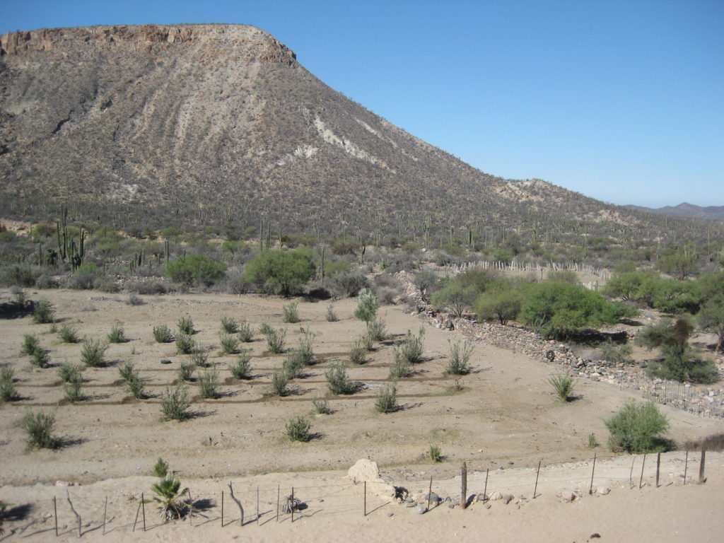
In advance of the new mission’s founding, Padre Retz had a road built to Adac and began construction there. The site became a visita of Santa Gertrudis on August 27, 1759. Padre José Rotea was chosen the new priest in charge, but when Padre Consag died, Rotea filled the vacancy created at San Ignacio. Padre Retz continued working at Adac where he had built a church, living quarters, a warehouse, and a hospital. Corn was planted in a small field by the hot spring. Retz had also baptized 300 Cochimí Indians for the new center.
Padre Wenceslaus Linck arrived in California and spent a few months with Georg Retz at Santa Gertrudis learning the Cochimí language. Linck then rode north and arrived at his new post on September 1, 1762. In honor of the benefactor, the new mission was named San Francisco de Borja for the saint and Duchess María’s ancestor. Additional baptisms numbering 142 were added during the mission’s first month of service. Supplies were shipped from Loreto to Bahía de los Ángeles, where a large Cochimí ranchería was located. The natives were able to provide overland transport to San Borja, twenty-six miles by trail from the bay.
The first snow Europeans observed in California was witnessed in December 1763 at Las Cabras. Located fourteen miles south of San Borja and over 4,200 feet in elevation, Las Cabras is where the mission’s cattle were brought to graze. By 1764 the mission’s neophyte population exceeded 1,000. Padre Linck got assistance with the arrival of Padre Victoriano Arnés who came to train under Linck and learn the Cochimí dialect. This training was also required in advance of Arnés establishing the next mission to the north. The population of Mission San Borja swelled to 1,700 neophytes by the end of 1766. Another Jesuit, Padre Juan José Díez, arrived to assist Linck and Arnés.
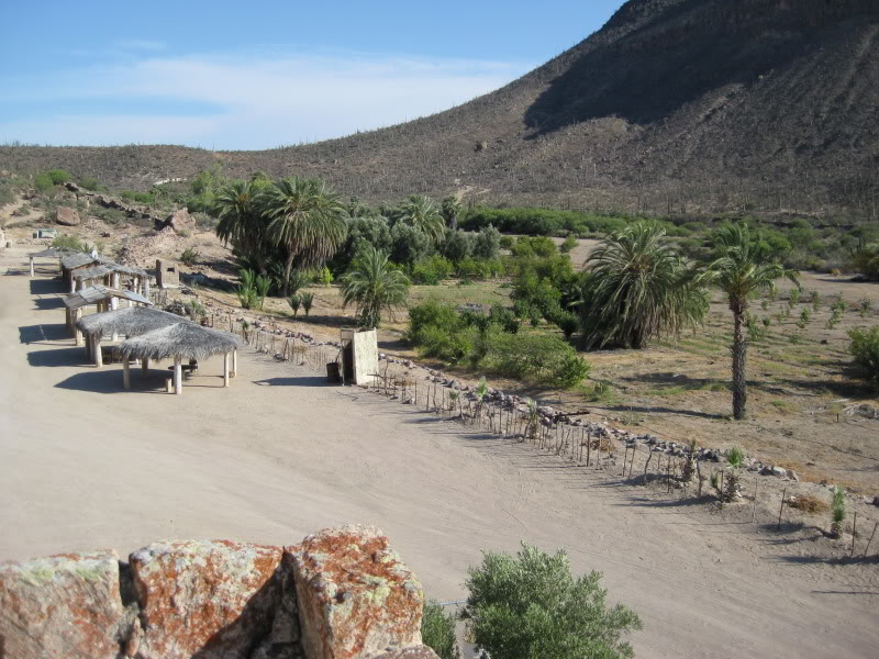
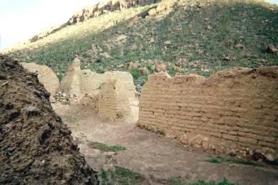
The neophytes could not all stay at San Borja as not enough food was produced there to sustain such a population. About thirty to forty Indian families could live at the mission itself and others would come from their rancherías on rotation for instruction. The mission pueblos (visitas or rancherías) of Los Ángeles and Guadalupe were on the gulf coast; San Ignacio (San Ignacito today) and El Rosario (Rosarito today) were to the west; Santa Ana, San Miguel, and San Régis were to the south; and another called San Juan was included in a 1772 report. Further south is the canyon and ranch of El Paraiso, listed as a mission farm. Nine miles southeast of San Borja is the abandoned adobe ranch house of San Gregorio. It is built on large cut-stones, seemingly indicative of mission-era construction.
Linck made two major expeditions out from San Borja in search of even more converts. One was in 1765 to the island of Ángel de la Guarda in the Gulf of California where fires had been seen on the island and reported to Linck. Using the mission’s launch, they reached the island but after considerable exploration found no trace of human activity or sources of fresh water. The second expedition would take the Jesuit far north to pine-covered mountains and within sight of the Colorado River Delta. That expedition began on February 20, 1766, with thirteen soldiers and several Indians. For almost two months, Padre Linck explored up the center of the peninsula. Linck’s discoveries included a future mission site named Velicatá by the Indians.
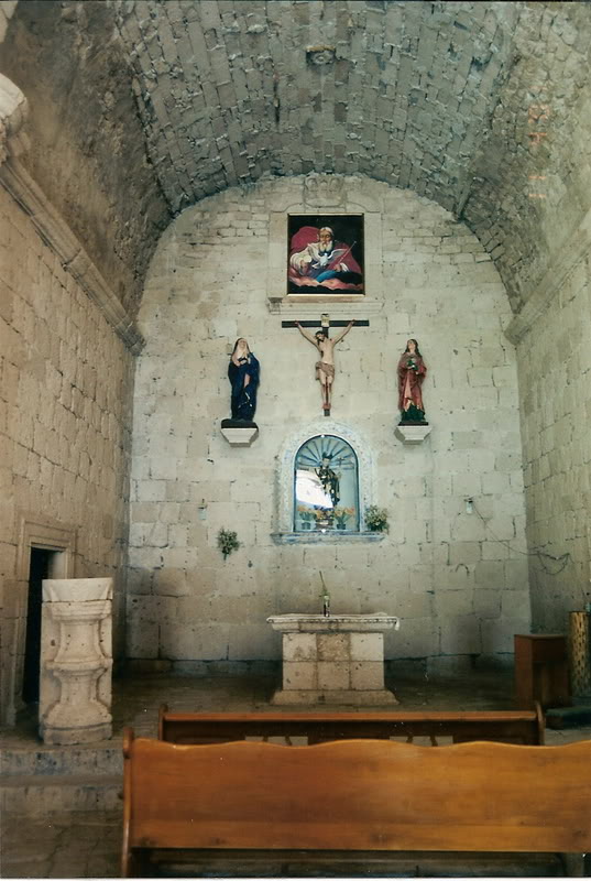
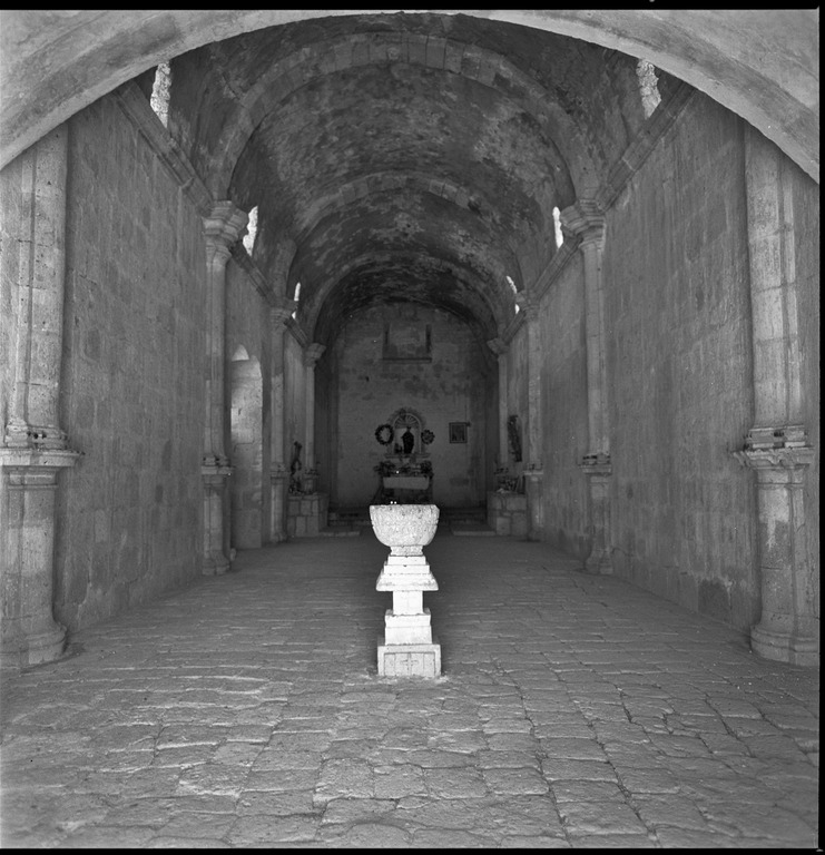
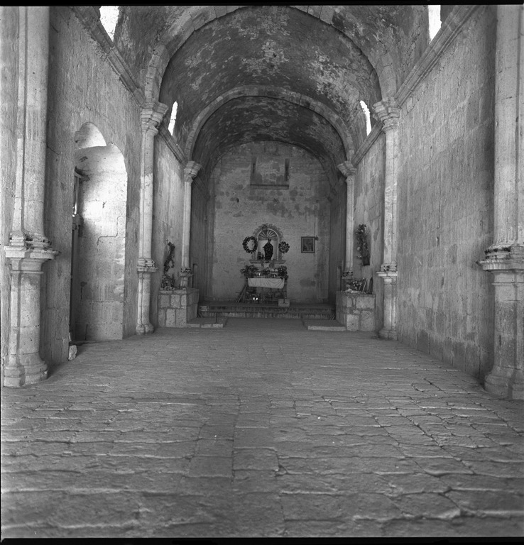
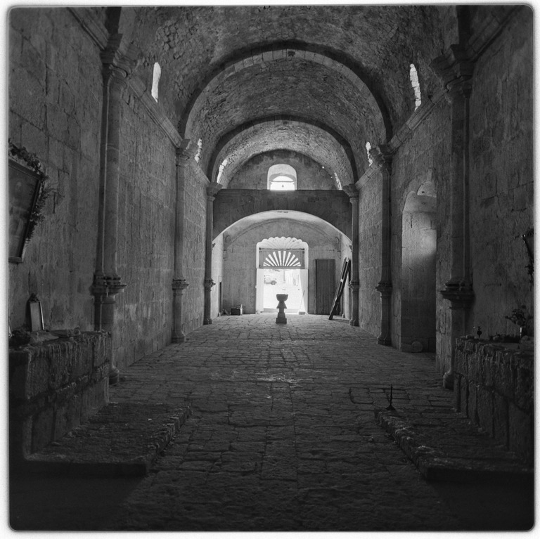
The Franciscan Order replaced the Jesuits in 1768 and operated the California peninsula missions until mid-1773 when they divided California mission duties with the Dominican Order. Padre Fermín Francisco de Lasuén was the Franciscan priest stationed at San Borja. In 1773 he reported San Borja as having a new adobe church measuring ninety-one feet by twenty-two feet, with a roof of palm leaves. The Mission San Borja Indian population had dropped to 1,000 that year, as the people succumbed to diseases and forced lifestyle changes.
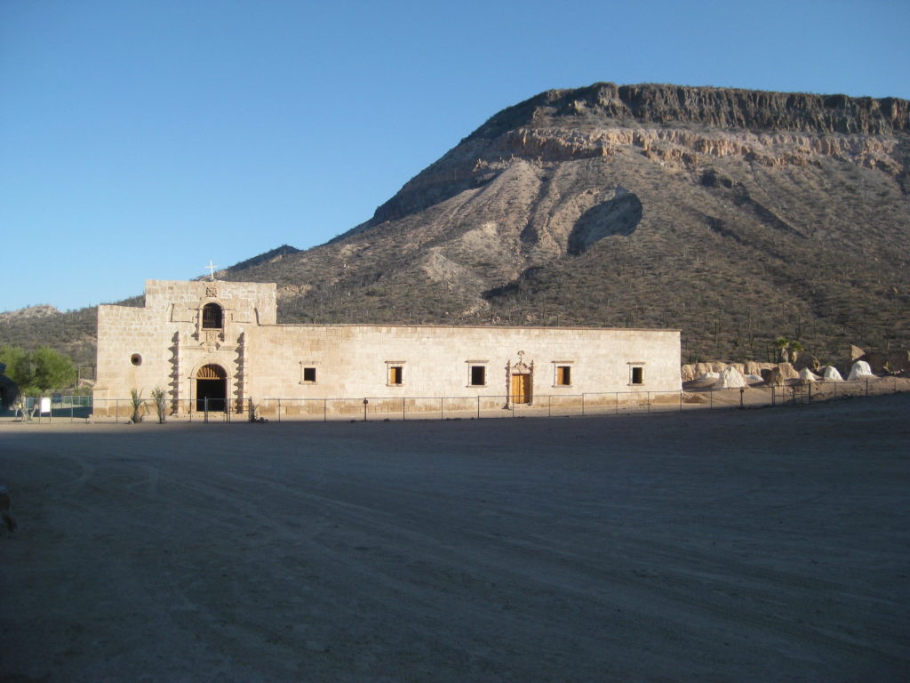
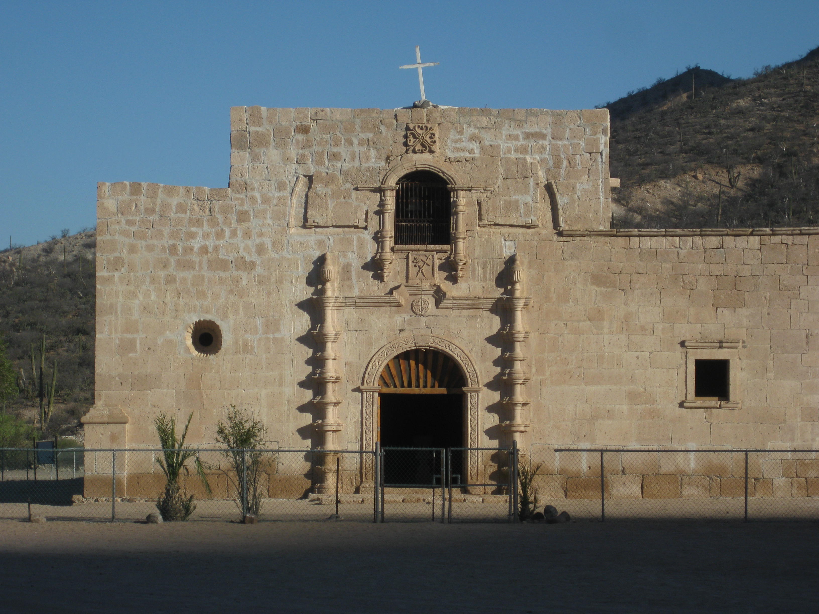
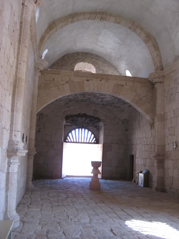
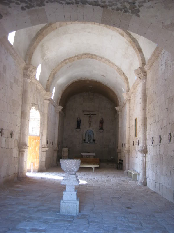
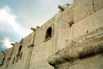
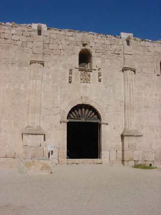
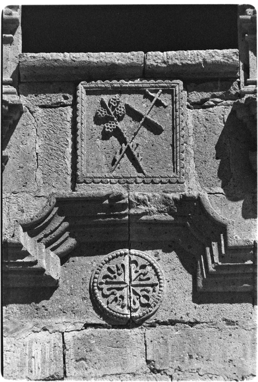
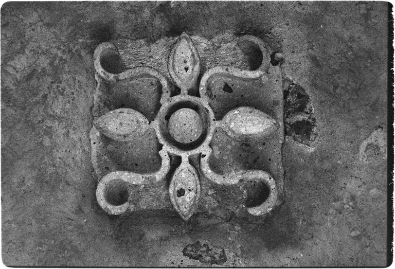
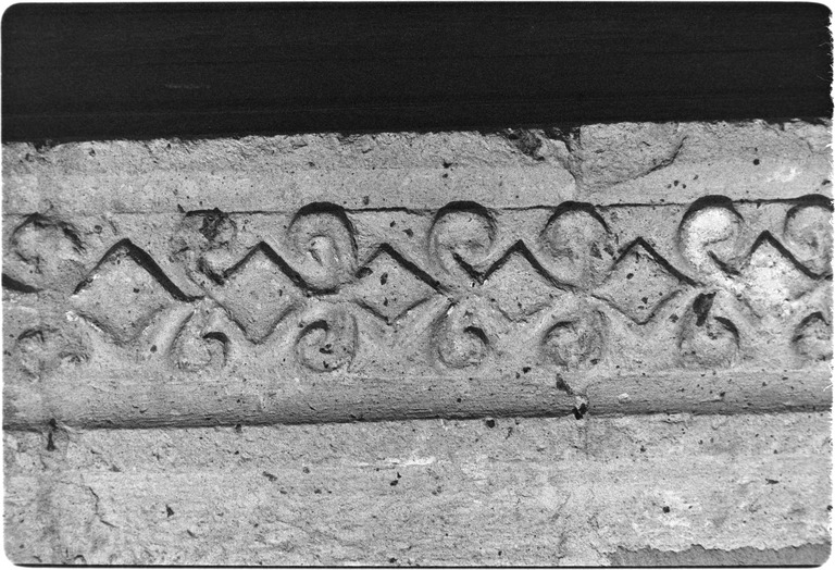
In 1801, construction was reported as being nearly completed on the large cut-stone church. Sadly, the Indian population had continued to drop and was below 400. No missionary letters or reports are known to exist after 1816. The Mexican War of Independence ran from 1810 through 1821 and contact between California and Spain was minimal at best. The war and rapidly declining Indian population spelled an end to San Borja and the other Spanish missions.
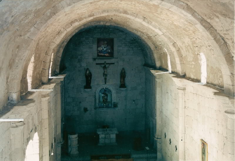
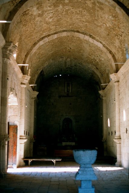
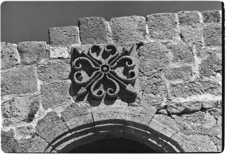
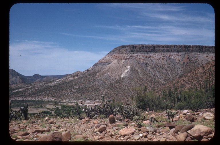
San Borja is the furthest north stone mission church on the California peninsula. Two graded dirt roads connect to San Borja, one from the Bahia de los Ángeles highway (Km 45) and the other from Highway One at Rosarito (Km 52). Both roads are just over twenty miles in length and best driven in an SUV or truck. The sight of this Spanish church in the center of Baja California is well worth the effort it takes to get there.
Missionaries recorded at San Borja:
Jesuit
Wenceslaus Linck 1762-1768
Victoriano Arnés 1764-1766
Juan Díez 1765-1766
Franciscan
Francisco de Lasuén April 5, 1768
Andrés Villaumbrales 1769
Juan Figuer 1771
Dominican
Manuel García (to 1775) and José Aivár (to 1776) May 15, 1773
Luis Sáles 1778-1781
Antonio Caballero 1792-1794
Rafaél Caballero 1792-1794
Martín Zavaleta 1793
Mélchor Pons 1794, 1797-1798 and 1803
Juan María Salgado 1795-1796
Antonio Lázaro 1797-1798 and 1802
Tomás de Ahumada 1805-1809
Ramón de Santos 1812
José Martín 1812-1816
See the other mission pages: https://vivabaja.com/baja-mission-albums/