DAY 14 Bahia San Rafael, Bahia de los Angeles, Alejandrina’s Restaurant, Laguna Chapala, Gonzaga Bay, and more!
Friday, July 27, 2012 (Day 14)

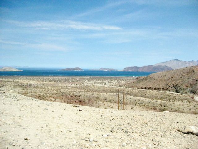
Good Morning Bahía San Rafael!
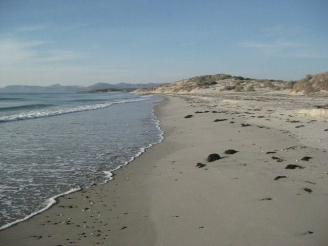
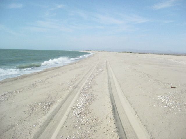
Our camp from the water’s edge.
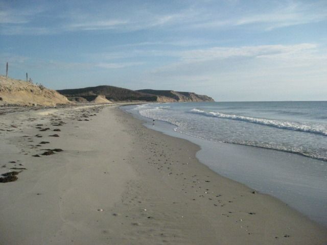
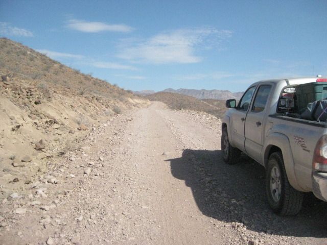
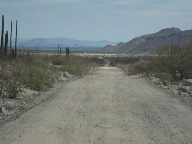
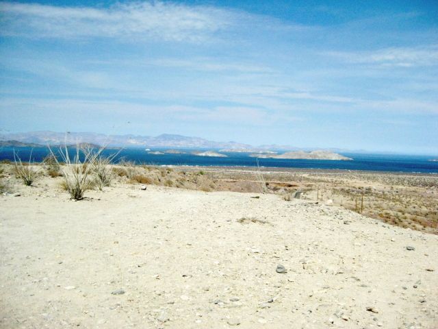
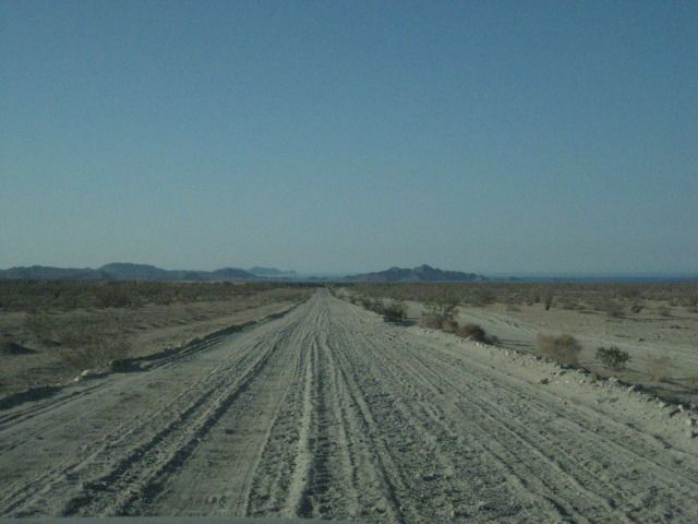
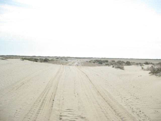
We awake to a beautiful morning on the beach at Bahia San Rafael. After some photos of the beach, we pack up and are on the road at 8:52am. Once again we are on the graded road, 2.1 miles north of the driveway to Poncho’s San Rafael beach camp and tire repair shop. I reset the odometer to 0. We stop for photos in a couple places as we cruise north on the typical Baja graded road. To help with tire life and smoother ride off pavement, I have been lowering the pressure from the normal 38 psi I run with a heavy load to 28 psi.
On the road, looking back to the beach where we camped.

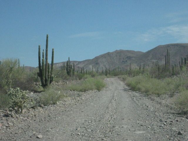
Mile 16.8: We come to the road for Bahia las Animas at 9:35am. This side road goes north to a fishing camp on a beautiful bay that was perhaps the possible location for a mission that was abandoned before it was completed. Two miles from the end of the road at the camp, a large hill is passed. On this hill are rock walls, at the base of the hill was an earth dam and reservoir behind it, and nearby is the trunk of a date palm. Other walls go across the desert. It is quite a mystery and first photographed and documented by Desert Magazine editor Choral Pepper back in 1966. Choral later would conclude that this site fits as the location of a ‘started’ mission called ‘Santa Maria Magdalena’ on the 1757 Jesuit map, shown south of Bahia de los Angeles. Las Animas Bay was first explored by the Jesuit Fernando Consag in 1746, who arrived by sea seeking new mission locations to the north of San Ignacio. It is all a great mystery and the purpose of all the work down here is otherwise unknown. See our 2009 examination of Choral Pepper’s lost mission found: http://vivabaja.com/109
Mile 20.6 (9:49am): The old road going south from L.A. Bay leaves the graded road here. It was opened up by the Erle Stanley Gardner party in 1966 using dune buggies and 4WDs to find the ancient trail they were told about by Dick Daggett in Bahia de los Angeles. See the effort in Gardner’s 1967 adventure book, ‘Off the Beaten Track in Baja’.

Mike’s Mountain comes into view. This is a peak above Bahia de los Angeles were an American (Mike) would climb to regularly and he made a rock house on top. See photos and discussion about it here:
http://forums.bajanomad.com/viewthread.php?tid=58661
The road reaches the highpoint in the valley and bends towards the bay. The road to the terminal area for the railroad comes in here. Just ahead, on your right is

the railroad bed. See photos at the terminal:
http://vivabaja.com/402/ and http://vivabaja.com/403/
Mile 30.6 (10:13am): As the graded road curves to the right, an old road comes in from the left. This goes 3 miles south to the railroad terminal area where the gold and silver ore was loaded onto the small railroad cars bound for the mill at Las Flores. The ore came thousands of feet down from the San Juan mine on top of the mountain using a cable tramway. All this activity pretty much ended in 1911 because of the revolution in Mexico. Just past this junction on the graded road, look over to your right and see the railroad bed. The train engine from this railroad is now on display in the Bahia de los Angeles town plaza.
Mile 33.0 (10:21am): Over to the left is a small building. This is the Las Flores jail and vault that was once in a large town at the north end of the railroad line. Las Flores is where the ore was processed into ingots and then they were carted to the bay where boats would pick them up.
Mile 38.6 (10:33am): Camp Gecko, a private residence area now, at one time a fun place to camp with friends.
Bahia de los Angeles town is 4 miles north of the Camp Gecko entrance. We have some friends who have homes just north of Gecko, and we want to visit with them. First we find Mary Ann Humfreville, and she suggests we go have lunch in town and see if Paulina and Dern can join us. Mary Ann and her late husband Mike have been coming to Bahia de los Angeles since the 1970’s. Mike wrote a book about their summers on the bay, both before and after they had children. The book is called ‘In the Shadow of the Volcano’ and can be purchased at the museum in Bahia de los Angeles or Amazon.
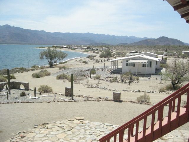
The view from Mary Ann’s porch.

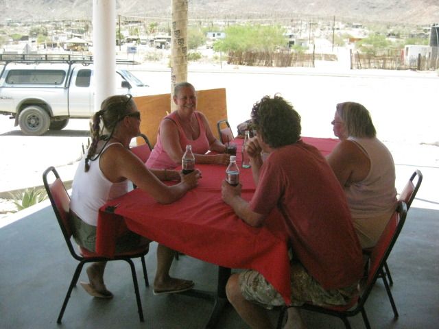
We all go into town and after filling our gasoline tanks, we go to fill our stomachs at Alejandrina’s Restaurant, a place that has been getting great reviews on Baja Nomad forums. The reunion was great, and good to hear everyone is doing well. The town is quiet, as the summer heat is not enjoyed by many travelers, we love it nice and warm.
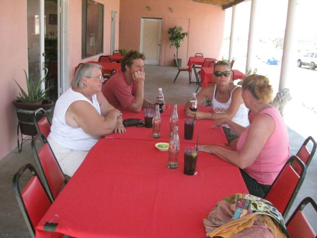
Mary Ann, Dern and Paulina listen to Baja Angel (Elizabeth’s) story of our adventures the past two weeks.
The highway into/out of Bahia de los Angeles is in great condition and it is about 40 miles back to Highway #1 (65 kilometers). We get on the road at 2:20pm and reach Highway #1 at 3:02pm.
Along the way, 12.6 miles from Bahia de los Angeles or 27 miles from Highway #1, is the signed road south to Mission San Borja. The junction is at the Km. 45 marker and if you have any time for the 22-mile dirt road drive, visiting this mission founded in 1762 is very much worth the drive and time. San Borja is the furthest north of the cut stone built missions in all of California. Remember, the Baja peninsula was California first, and once the padres came north of the peninsula they simply referred to the new land as ‘Alta (Upper) California’. Once you have an ‘upper California’, to clarify discussion, the peninsula then was called ‘Baja California’. Read more on San Borja in my article published, here:
http://www.bajabound.com/bajatravel/mission_san_borja.php
Northbound on Highway #1: At 3:15pm we pass El Crucero in 12.9 miles, at Km. 261. This is where we joined Highway #1 two weeks earlier, southbound after visiting the Calamajué mission site. At Km. 251, 6.3 miles from El Crucero, is the ‘water road’ to Calamajué Canyon. It was built in 1973 during the construction of the Baja Highway to bring in water. It meets the road to El Crucero from Calamajué, just above the canyon entrance.
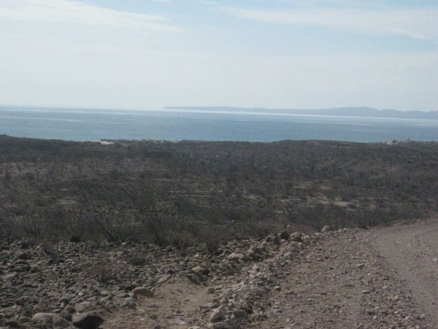
Just out of town is a viewpoint where you can get this great panorama of Bahia de los Angeles (Bay of the Angels). The many islands are the angels, and when conditions are right, you can watch them rise above the water. An effect like a mirage causes this and it is quite a thrill to witness.
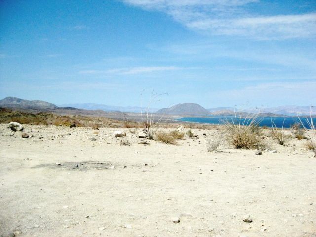

With a little zoom.
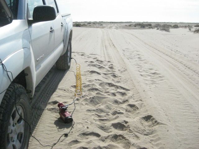
At 3:40pm we come to the Highway #5 junction with Highway #1, in the Laguna Chapala Valley. It is 30 miles from the Bahia de los Angeles Junction. We take photos of the many signs including the battered up information one. Now, Highway 5 is still a dirt road for the final 45 miles of it. So, I deflate my tires to help prevent rock punctures and to improve the ride. However, in just a few miles my low air pressure warning light comes on, and my front right tire has a hole in the center.
It takes 3 plugs to stop the leak, and it usually isn’t this hard to do it. In a couple miles the plugs fail, so I repeat the steps to avoid changing the tire, not that that is any big deal. I know they can patch the tire at Gonzaga Bay (Rancho Grande) and prefer to keep the new spare new, as long as possible. 9 years ago, I even purchased a used tire at Rancho Grande when I had a rock hole too big to patch. They actually had the correct size for my 2001 Tacoma. Since then, I lower the air to about 25 psi and avoid big rock damage.

At Laguna Chapala, approaching the Highway #5 junction.

In July of the following years, here was the new road’s progress:
In 2012, it was 48 miles from Highway One (here) to the new pavement.
In 2013, it was 38 miles on dirt from Chapala to pavement (just north of Gonzaga).
In 2014, it was 33 miles of unpaved, older road still in use.
In 2015, it was 23 miles to the new pavement.
In 2016, no change from 2015.
In 2018, about a mile on each end of the 23-mile dirt section was paved.
In early 2020, the highway was completed.
Here is my record of the progress of the new highway south from Puertecitos in the years previous to the above list:
NOV. 2006: Paved to 3 miles north of Puertecitos.
FEB. 2007: Paved to Puertecitos, except for a 1.8-mile section.
SEPT. 2008: Paved to 2 miles south of Puertecitos.
JAN. 2009: Paved to 4 miles south of Puertecitos. (2 mi., in 3 mos.)
SEPT. 2009: Paved to 10 miles south of Puertecitos. (6 mi., in 9 mos.)
JULY 2010: Paved 19 miles south of Puertecitos. (9 mi., in 10 mos.)
JULY 2011: Paved 24 miles south of Puertecitos. (5 mi., in 12 mos.)
JAN. 2012: Paved 33 miles south of Puertecitos. (9 mi., in 6 mos.)
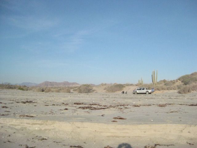
We pass Coco’s Corner at Mile 12.7 from Laguna Chapala, and it is 4:52pm. With the tire issue and sun getting low, we did not stop to visit with Coco. We usually always like to make a visit there and buy a cold Pacifico from him. I wanted to let him know that Calamajué Canyon was no problem two weeks earlier from the little water we found there, compared to past years.
At Mile 25.3 we pass the south access road for Punta Final (part of it is the older road south, before the graded one we are on was made about 1987). At Mile 33.7 (from Highway #1/ Laguna Chapala) is the road to Campo Beluga, on the bay. We stayed there in 2007: http://vivabaja.com/207/page3.html
Gonzaga Bay straight ahead!
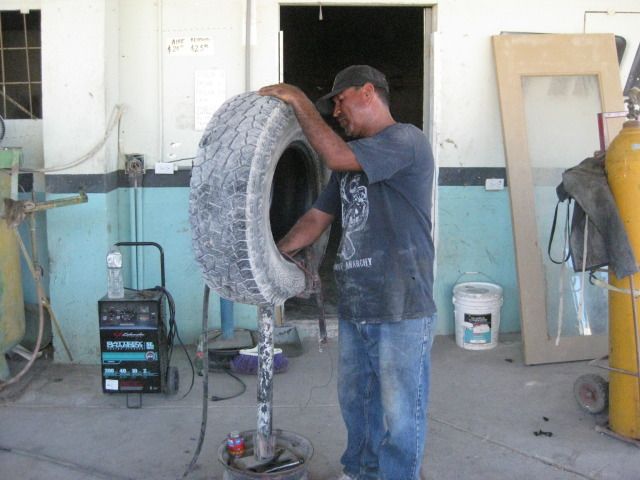
Tire repaired properly at the Rancho Grande tire shop, behind the store.
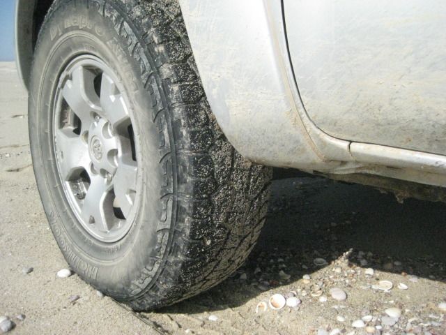
The sun is headed behind the mountains, but with so much of the road to the north paved, we are still comfortable about getting to Shell Island. Specially with the tire repaired. As it turned out, the hole was in the same spot as a previous patch made last January when I got the first flat, on this same tire (on a rocky road but didn‘t deflate). Perhaps that is why it was more difficult to plug? The older patch failed more than the tire failed, a second time. That road between Chapala and Coco’s Corner is very rocky, so go slow and save your tires. I have had no other failures during the 24,000 miles I have had on these Hankook Dynapro ATM tires.
I reset my trip odometer at Rancho Grande/ Gonzaga Pemex… just ahead is the military checkpoint, and they do their full inspection. It is all very professional and we are soon on our way.
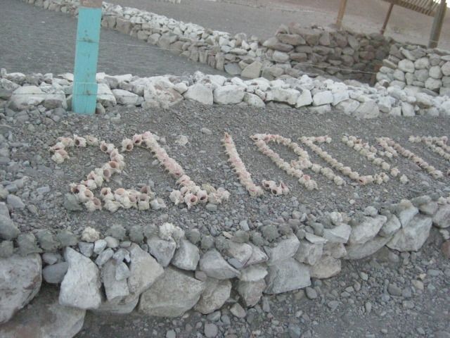
At the military checkpoint, sea shells were used to make a sign for their troop name.
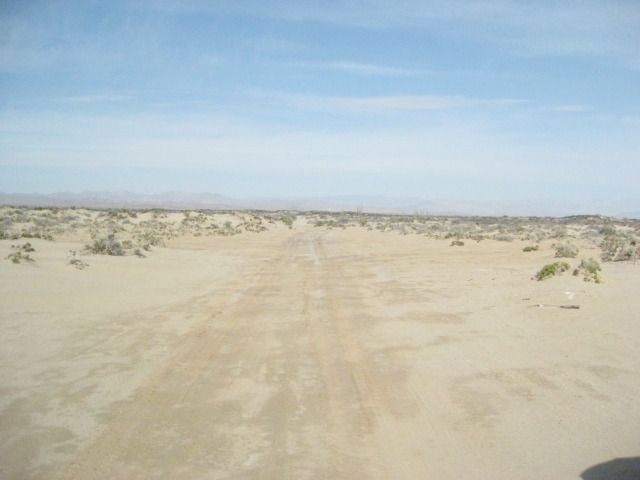
We pass the road to Papa Fernandez’ Resort at Mile 2.5, then come to new highway construction at Mile 2.7. From here to the pavement we are sometimes on detours, sometimes on the new roadbed. Punta Bufeo Resort road is at Mile 7.5 and we are on new pavement at Mile 12.8. We come to the detour sign at Mile 13.0 and it is all pavement from here north. So, 13 miles from Rancho Grande& the Pemex or 10.5 miles from Papa Fernandez’ road… right about at the turnoff to Campo Delfines, is where the pavement begins going north, on July 27, 2012.
We come to the paved Puertecitos entrance road at 8:07pm and Mile 44.4 from the Gonzaga Bay Pemex. The new paved Highway #5 south from Puertecitos began being built about 5 years ago. In September of 2008, only 2 miles were paved. In July, 2010, 18 miles were paved. In July, 2011, 24 miles were paved. Now, in July/August 2012, 31 miles are paved. The land here is very rugged and the volcanic rock must be a tough thing to cut through!
We arrive at our beach camp on Shell Island tired, but happy. This is our favorite place to camp in all of Baja. Perhaps because it is an easy day’s drive from home (about 6 hours), but mostly because it is all sand and usually no other people. We enjoy the quiet times, but we also had great times with others on this trip!
I will wrap-up this trip with tomorrow’s (DAY 15) details for the drive home and crossing the border

North of Gonzaga Bay was new Highway Five construction and detours (July 2012).
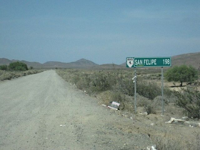
DAY 15: to San Felipe, Tecate, Home!
Saturday, July 28, 2012 (Day 15 of 15 days in Baja)
The night was perfect, we had our last campfire and slept like babies. The next morning, we had a high cloud cover which made it ideal for packing up, out of direct sunlight. Packing up the final time was a breeze and I cannot say enough good things about our new Coleman Easy-Up Tent… It is now ‘Baja Proven’!
Once the truck was loaded, I drove down close to the water so we could take one last swim in the Sea of Cortez. We were on the move at 8:47am.
Shell Island and my tracks from last night.
Notice one of my HID lights is missing? The vibration was too much for the plastic housing, it was fixed once before with fiberglass. The all metal Hella lamps just eat up the bumps in Baja. I have the broken lamp, and maybe fix it again?
For beach sand, on the Cortez side, these tires work great at 18psi. Remember, even 2WD, sand is the easiest thing to drive over if you let enough air out of the tires! Sometimes as low as 8-10 psi… whatever it takes to float on top.
Fresh out of the sea and dressed for the drive!
This little blow sand at the edge of the tidal mud flats, made a great/ clean place to air up the tires for the trip home.
Once off of Shell Island, I re-inflated the tires using the Tsunami MV-50 fast pump and we were back to Highway #5 at 9:18am.
Looking towards the island/ beach. This mud flat goes underwater during the highest lunar or storm tides. I call it an ‘island’ for a good reason!
Looking inland towards Highway #5 (2 miles), at Km. 26.
Arrived at the San Felipe South Pemex, 208 miles since filling up at Bahia de los Angeles. The price was 10.05 pesos/liter and the exchange rate offered at that Pemex was 13 pesos per dollar, so the price per gallon in dollars was $2.93.
The next order of business was getting the truck washed. U.S. customs can turn you back if you arrive at the border with obvious mud and dirt on or under your vehicle. The car wash place is the same we have used before, along the street we come into San Felipe on, on the right. The whole process takes about an hour, so we have some carnitas tacos at the restaurant next door and sodas while we wait. The car wash was $13 dollars, including tip, and we were northbound at 11:15am.
There is a major military inspection checkpoint, 30 miles north of town, but there is very little wait and hardly any time for the boys to look around before we are going again. Soon we are at the detour as they are widening Highway #5 for the next 21 miles… but it is fast and easy. Remember, I am in a Tacoma, made for Baja (and made in Baja, too), so bigger rigs, motor homes or lesser vehicles will find the detours less ‘fun’ than did I!
We took the Highway #2-D toll road from south of Mexicali to Tecate and avoided all city traffic going to the border at Tecate (192 miles from San Felipe). We got to the end of the line at 3:39pm Saturday afternoon. We were cleared into the U.S. at 4:26pm (47 min.) after just a couple of questions and no search.
When we got back to our home town, I topped the gas tank. We had traveled 312 miles today from Shell Island, 287 from the gas station in San Felipe. My gas mileage on this tank was 18.42 mpg (including the 47 minutes idling in line at the border). However, with gasoline at $3.69/ gallon… I think I like being in Baja more!
This was a most fantastic trip… we wish give big thanks to our hosts in La Paz (The Bajatripper family) and our hosts in Bahia Asuncion (Shari and Juan) … their hospitality and the friendliness of Mexican people all over the Baja California peninsula really make the vacation in Mexico a fun time. Our nights camping at Shell Island, Playa La Perla, and Bahia San Rafael were perfect… sure we had to deal with mosquitos at sundown at La Perla, but the weather was ideal at 95º and perfect warm sea water day or night. The sea temperature of near 85º is why we prefer going to Baja in the summer.
Baja California (Old California) is truly a land of wonder and adventure. On the 14th day, we passed places I have been to one or more times in the past, thus the links to those older photos were added should you wish to ‘see’ what I saw there. When or if you go in person, you WILL see more! These photos are just a sample, a tiny sample of what is down there. The ocean, the beaches, plants, animals, mines, missions, painted caves… all in one skinny, long peninsula. Baja has been attracting man to go there for centuries! It must be magic… The magic of Baja…
Thank you and Happy Trails!
David Kier
MAPS:
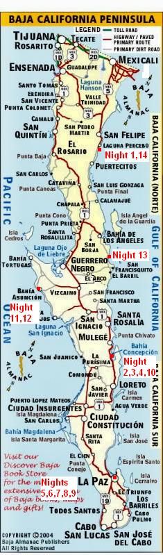
Where we spent our nights.

South and northbound routes in north-central Baja California.
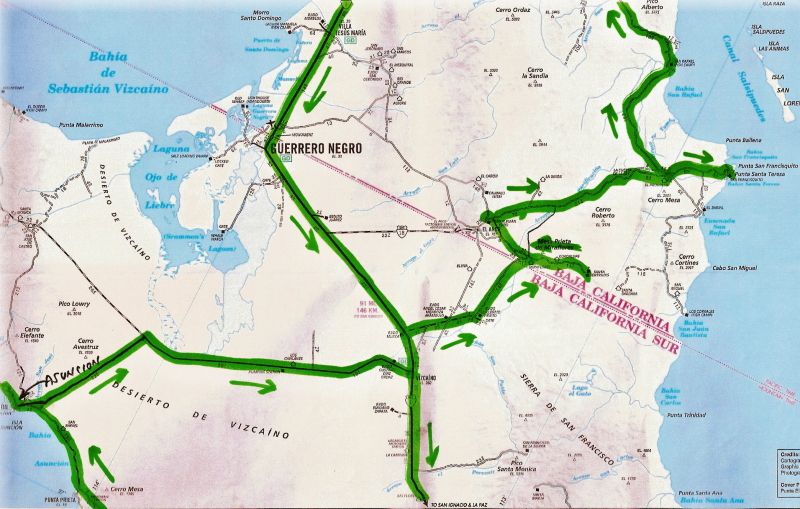
South and northbound routes in central Baja California.
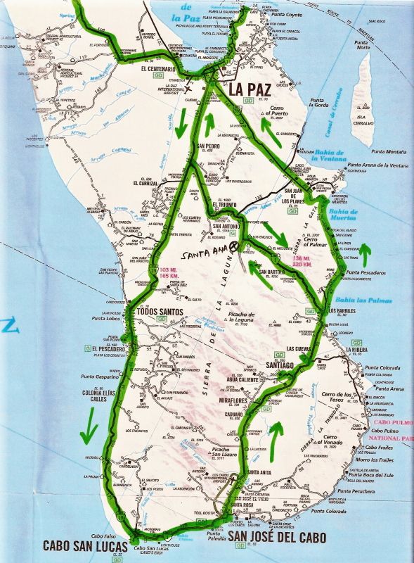
Routes of travel out from La Paz on two different day trips.
Thanks for joining us on the epic Baja vacation! https://vivabaja.com