Skip to content
Saturday, July 21st (Day 8)
Today we use the Tacoma to drive the Cabo Loop (go south from La Paz to Cabo San Lucas on the Pacific side via Todos Santos, and return north to La Paz on the gulf side, via Los Barriles). The total miles we drove was this day was 247.
The Todos Santos/ Cabo highway (Mexico #19) has been widened to four lanes except for a few miles around Todos Santos. We do take a side trip in Todos Santos and photograph a wall where anti-mining graffiti was painted (a Canadian company has been trying to open a new gold mine some miles from Todos Santos, but not everyone seems to be in favor of it.
Just a few miles south of Todos Santos we take a dirt road angling to the southwest from the highway and park for the ½ mile walk to the beach of San Pedrito. The walk takes you from pure desert to pure tropical paradise, and soon you could be easily dreaming of a scene from the South Pacific islands. We are after all in the same latitude as Hawaii.
An old ruin near the parking spot was once the villa of a Mexican general and an airstrip was there, too… I will let the photos tell more.
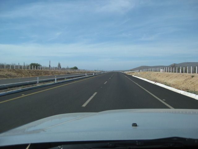
4 lanes south from La Paz to Cabo, except through Todos Santos.

Ruins of a Todos Santos sugar mill.

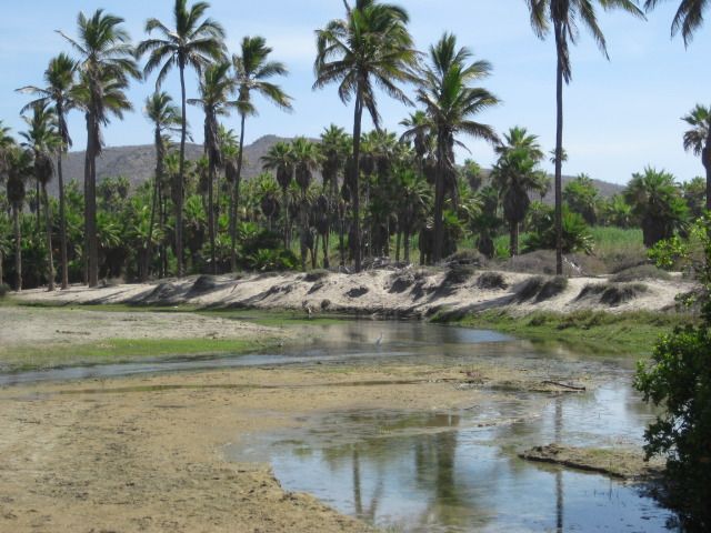
Desert road to a tropical beach, San Pedrito.

Maybe a half mile walk to the beach.


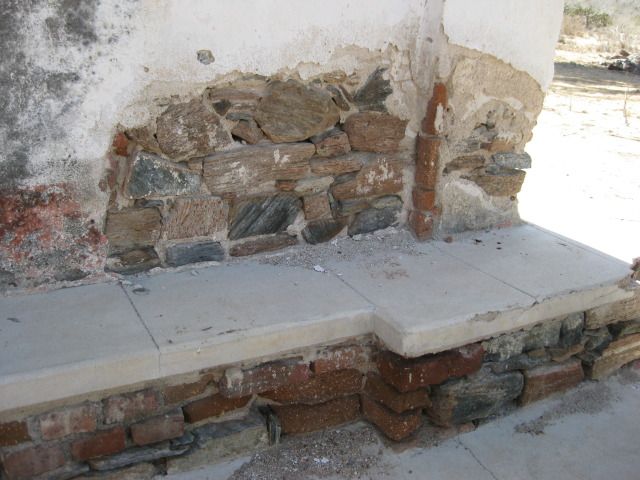
The general who had a villa at San Pedrito also had facilities for his beach guests. Bajatripper showed me an old photo showing some building here, a refreshment bar and restrooms.


Steve says ‘let’s go look at the general’s villa


Next, we drive south to Land’s End, Cabo San Lucas… the tip of Baja!
CABO SAN LUCAS
It is an easy drive on south to the end of the California peninsula at Cabo San Lucas. When I first came here in 1966, it was a small fish cannery town with a pier and a salt flat that was an airstrip for a lone tourist hotel, the Hacienda. When the Transpeninsular Highway (Mexico #1) was completed in December, 1973 tourism really had an impact on Baja California, and probably nowhere more than right here at the end of the peninsula. The old salt flat runway is now a marina, and the sleepy fishing town is a city with hotels, condos and nightclubs.
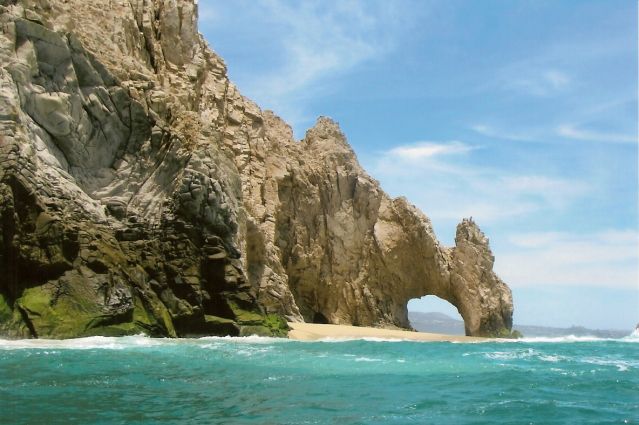
Steve and Zully have a treat for us and it was outstanding… a boat ride out to El Arco (The Arch) at the tip of Baja… ‘Land’s End’. There is a secure pay parking area by the docks for the glass bottom boats and water taxis. Soon we were on the water and entertained by our captain who pointed out the sites along the way.
When you go out past the tip and look back at the arch and the splashing waves, it is quite an experience. Lots of photos and back after 45 minutes… very fun. We have lunch at Cavendish’s by the docks… all good food and drink!

We drive up to the Hotel Finisterra for photos.


Several interestingly named boats are for hire! They take you out for a close up look at Land’s End, Cabo San Lucas, the tip of Baja.

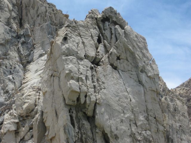
Rock is the Baja peninsula, upside-down.

We sure appreciated this ride… what a treat! Thank you Steve and Zully!


It’s a dragon taking a drink!
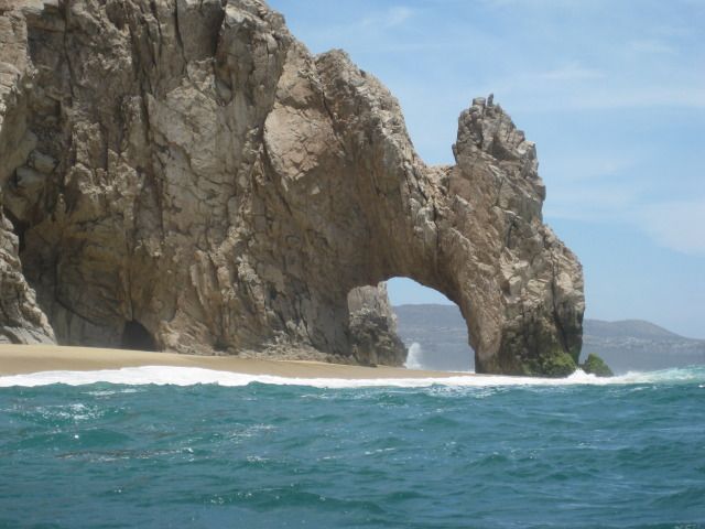

Only fitting that such a fantastic peninsula has such a dramatic ending!
Do you see the horse’s head?

Everyone has fun in Cabo!

Back on land, we stop for a drink at a place that knows the way!

Mango Margaritas seem like a natural choice for our lunch beverage.
We leave Cabo San Lucas, and can only go north from there, but on Highway #1 back to La Paz.
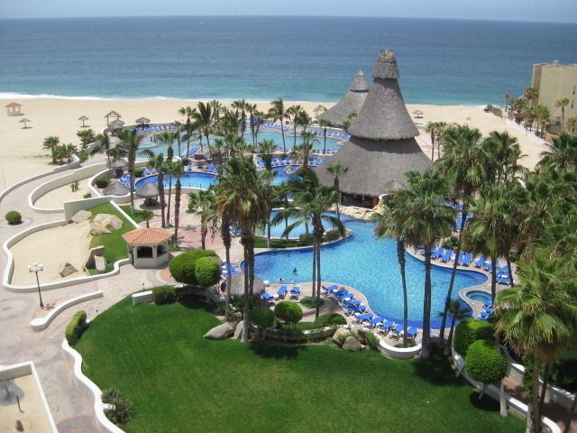
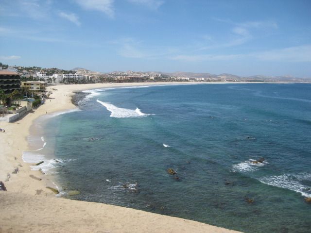
On Highway #1 and heading northeast past many resorts and condos towards San Jose del Cabo. Along the way, we turn off the four lane highway to El Tule beach. El Tule is a rare, undeveloped piece of beach here in the Los Cabos region of Baja.


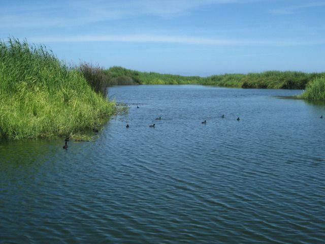
At the entrance to San Jose del Cabo, we take the right fork and go to the estuary for a walk along the water and palms. A totally unexpected place of serenity surrounded by so much development. The dirt path was patrolled by police, each riding (standing) on a Segway. The southernmost California Spanish mission was first established here by the estuary in 1730, Mission San Jose del Cabo was perhaps more important to provide water and fresh fruit to the ships of the Manila Galleon which sailed right off this coast on their way to Acapulco, with treasures from the Orient.


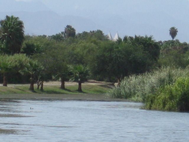
See the top of the ‘mission’/church, in town above the estero plants.

The mission site was moved several times until the final site, which is in the town plaza, where a newer church replaced the ruined mission church here. A 1918 photo shows the final San José del Cabo mission church before being demolished.

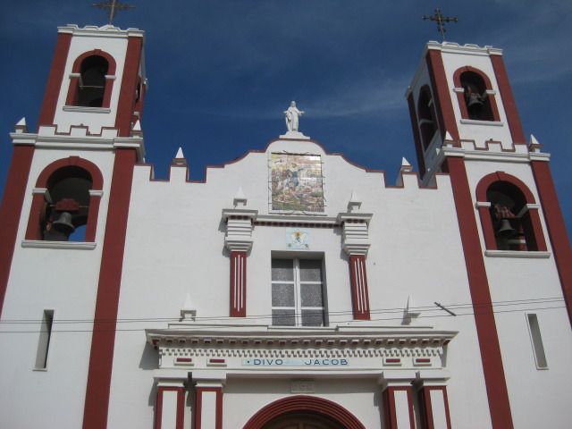
San Jose del Cabo has old colonial style, narrow streets and are all one way. It takes us some effort to drive in front of the church for photos, and no place there to park. A tiled mosaic above the church entrance illustrates the murder of a Jesuit priest by the natives during the Pericú Indian uprising of 1734. All four of the southernmost missions were temporarily abandoned during this revolt (La Paz, Todos Santos, Santiago and San Jose del Cabo).

Highway #1 is four lanes until reaching the Los Cabos International Airport, then it is two lanes past farm towns that include Santa Anita, where the bus station next to the highway looks like an old home seen in photos of the past. We stop and talk with one person who lived there for over 50 years and says this building was there at least as long. It had very thick walls, as typical of early construction.
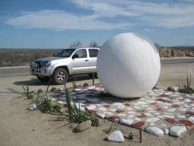
My Toyota Tacoma on the Tropic of Cancer in Baja California Sur, Mexico
.

Several miles north, the highway crosses the Tropic of Cancer and a monument consisting of a large white globe, marks the spot. Just beyond is the paved side road into Santiago, a tropical village at the final site of California’s tenth Spanish mission dating back to 1724. A modern church is built on the site, right on the paved road through town. The pavement ends at the Santiago Zoo, which despite protests by animal advocates, remains open and a popular place for family visits.

Modern Santiago church on the final site of the 1724 Jesuit founded California mission, it was number 10 of the 48 total California missions.


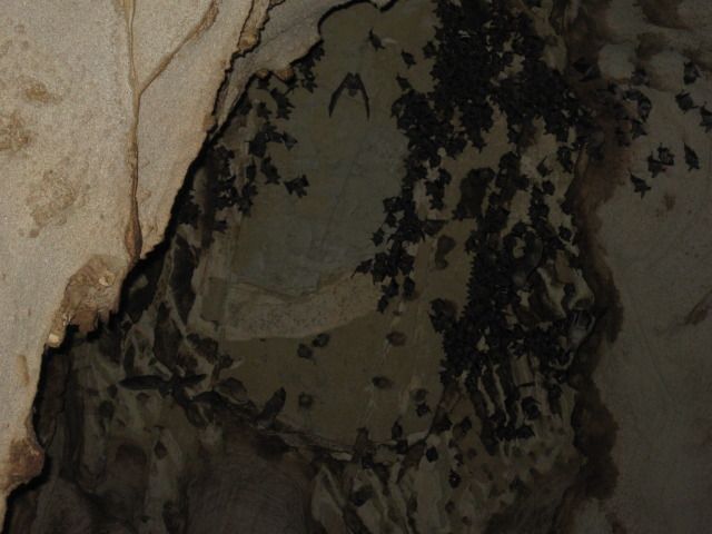
Some five miles north of Santiago is Las Cuevas, ‘The Caves’. Access them by driving under the Highway #1 bridge, over the Santiago riverbed and a mile or so up it. The large cave is on the east side of the arroyo and in the entrance are beehives, way high up. Inside are bats, lots of bats! What a great tour Bajatripper has given us (again) today!


On our way back to La Paz, we take some photos of the fishing boats off Los Barriles and the town of San Antonio from a view point along the highway. This has been an incredible day with so much sites and experiences!
Pages: 1 2 3 4 5 6 7