Skip to content
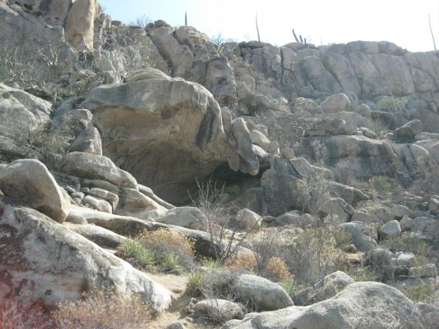
We leave Pozo Aleman at 3:05pm and take the graded road for some miles until I spot a side road with lots of travel. It ends in just ¾ of a mile at a turnaround, next to the side of a big hill. A close look up the hill and I see a cave. From the turnaround, a well-worn foot trail heads up the hillside. Obviously many folks have been here, perhaps tours. Along the trail, near the cave is a carved Elephant tree with the name ‘Arce’ and the year ‘1990’, perhaps when it was discovered? The site is a major painted cave, yet Harry Crosby did not include it in his books cataloging the hundreds of central Baja California painted caves. Crosby researched his cave paintings book in the 1970’s, so perhaps this one (near El Arco) had indeed not yet been discovered?
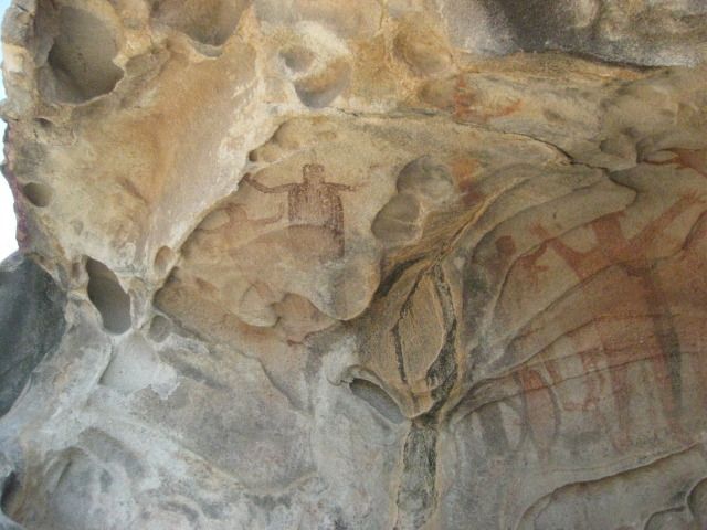
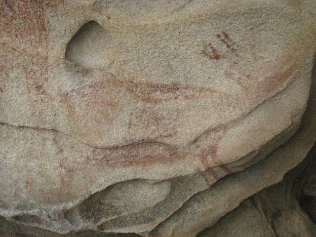
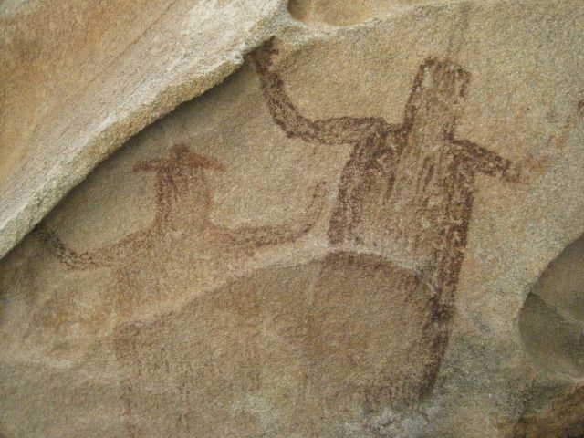
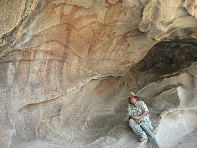
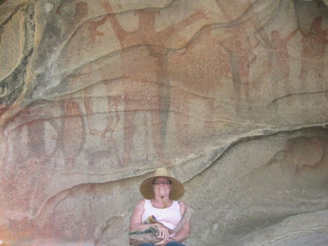
We take many photos at the cave and we note that it contains paintings of 4 men, 4 women, 4 deer, 4 fish and 2 dark figures with one wearing a ‘hat’. So, we call it ‘the cave of fours, plus 2’! Some of the images are faint and painted over others… so take your time and study the art here or in my photos… A most exciting site on our great 15 Day Baja vacation. On our way back down the trail we photograph some boojum trees, some pitahaya dulce, and more ball moss. We are back to the Tacoma and driving again at 5:00pm. It is summer, and the sun is still well up in the sky. Our goal is Punta San Francisquito where a beautiful beach is located I camped at back in 1983…
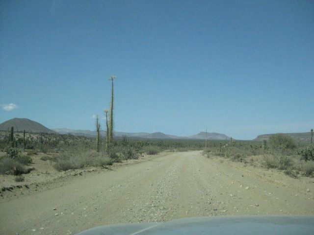
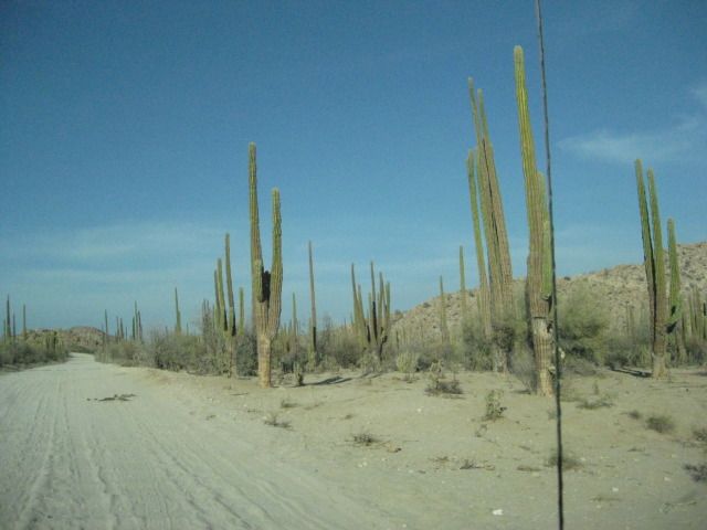
The El Arco/ Punta San Francisquito road is fast and easy to drive.
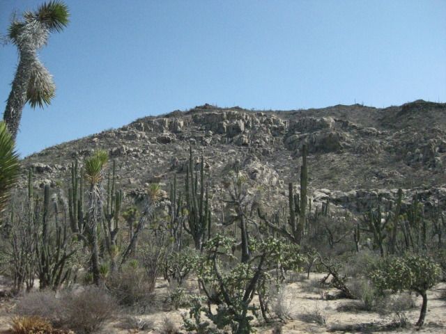
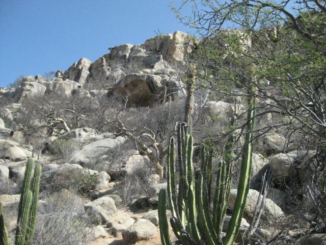
The painted cave is up there.
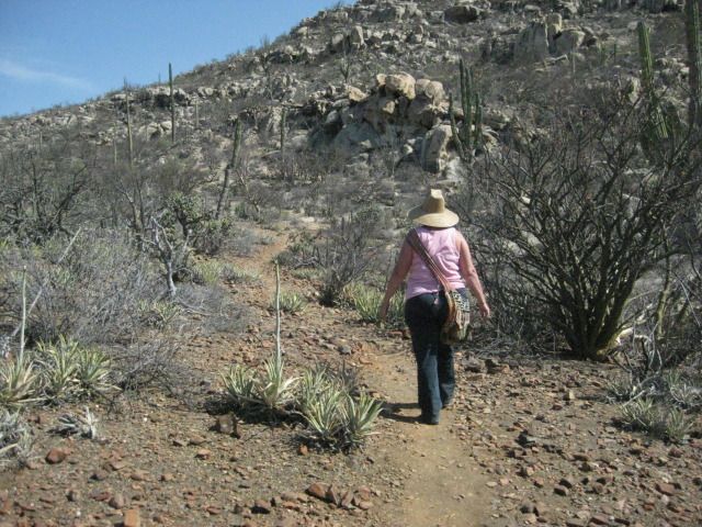
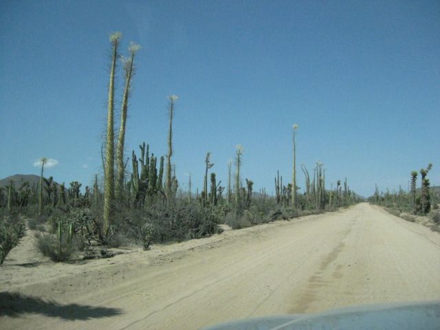
The trail is easy to follow, and only gets steep near the cave.
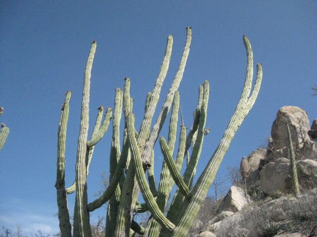
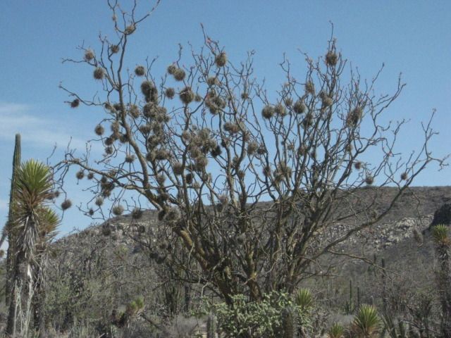
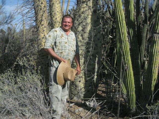
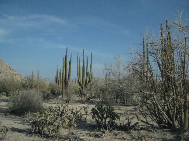
The Pitahaya Dulce or Organ Pipe Cactus was the source of much joy to the Cochimí Indians when its fruit ripened in the fall.
The cave… getting closer!
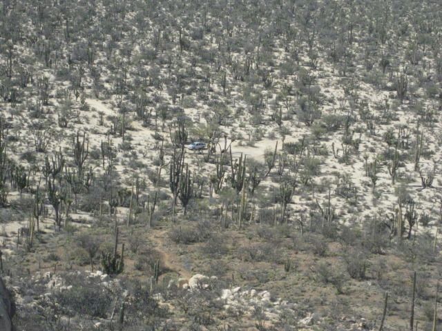
See my truck?
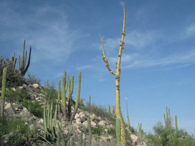
We can see the giant paintings.


I spot a boojum tree (cirio) about my height… They can grow to 60 feet or more.

Top of big boojums.
Bottom of big boojums.
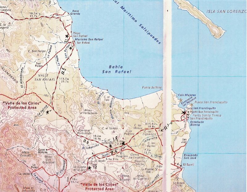
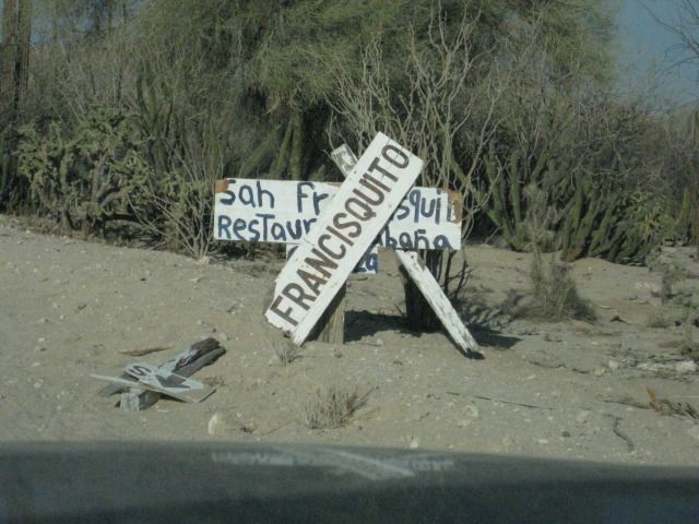
To Punta San Francisquito and Bahía San Rafael:
We return to the road to Punta San Francisquito and continue east as the sun slowly drops in the west.
The painted cave was just plain awesome, and another of the Wonders of Baja that keep us going back, no matter how much the American media attempts to scare us away from Mexico!
I did some more research into this cave site, as it is one of the grand ones. It would surprise me if a rancher named Arce was the first to find it, in 1990. I have both versions of Harry Crosby’s ‘The Cave Paintings of Baja California’ (1975& 1997). In the newer Sunbelt edition, I found it mentioned on pages 236 and 237. This cave was seen by Leon Diguet in 1895, who called it ‘The Cave of el Carmen’, but the location was not exact (Diguet said it was between Calmallí and Santa Gertrudis) and Crosby never found it during his travels to the painted caves.
We left the parking area for the cave hike at 5:00pm and we still had 2-3 hours of light to get there and set up our camp, we didn’t know it yet, but Punta San Francisquito would not turn out to be the ideal camp spot as I had envisioned.
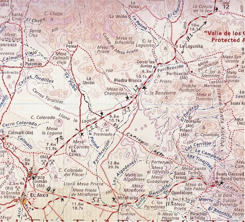
Here is a road log and comments from Pozo Alemán to Punta San Francisquito:
00.0 Pozo Alemán entrance at graded road between El Arco and San Francisquito (approx. 2.5 miles from El Arco).
00.4 Road right to/from Mission Santa Gertrudis (20.9 miles).
07.0 Road left to La Unión ranch.
09.5 Cross El Camino Real, the mission road built in the 1700’s here between Mission Santa Gertrudis and Mission San Borja. To the left, it has been turned into an auto road to La Unión. To the right, just a straight trail to the southeast. See map.
13.2 Road south to Guillermo Prieto and Highway #1 (near Vizcaino) in 38 miles. It crosses the Mission Santa Gertrudis road in 12.3 miles (12.8 per the Baja Almanac).
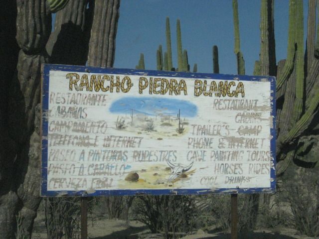
14.9 Piedra Blanca, a ranch and guest resort offering accommodations, meals, guided tours, and more.
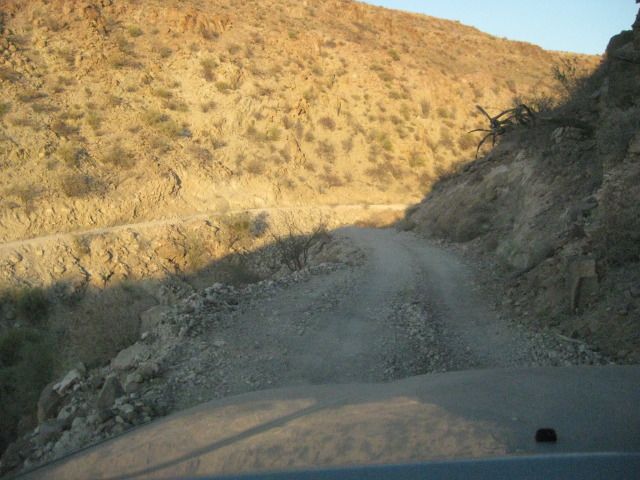
In just about 10 miles the peninsular divide is reached with a view of the Sea of Cortez and the many islands offshore. This was once the top of a very steep grade called La Cuesta de la Ley (The Grade that Rules). However, it was totally re-graded in the early 1980’s so 4WD is no longer needed.
26.0 Bottom of Cuesta de la Ley.
33.0 El Progreso, ranch. Road east curves to the left, road to El Barril forks to the right.
33.6 ‘T’ Junction: Left (west) is road to Bahia de los Angeles, access in 1.5 miles. Right is main road east.
33.8 Rancho Escondido road right, tourist services offered.
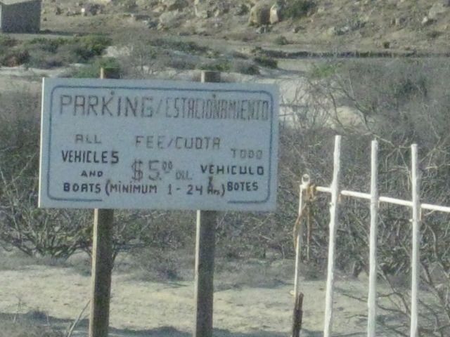
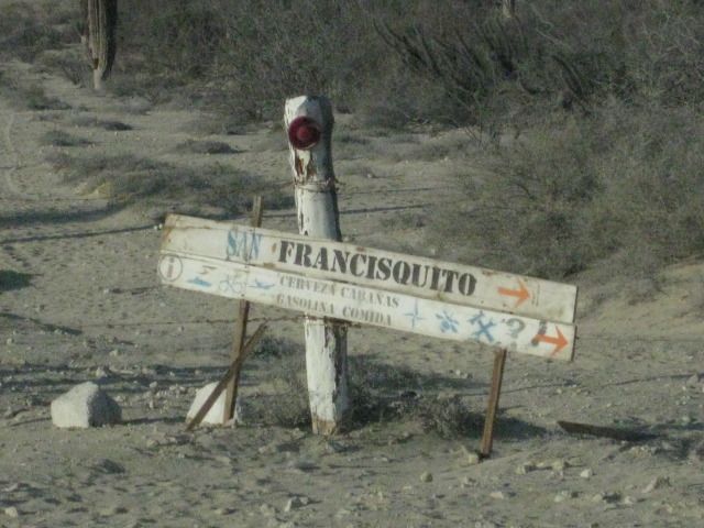
44.7 Gated entrance to Cala or Puerto San Francisquito ahead, turn right for Punta San Francisquito Resort. Soon drive along airport runway on dry lake bed.
46.7 Punta San Francisquito Resort. Damaged by recent earthquake, but open for business (meals, rooms).
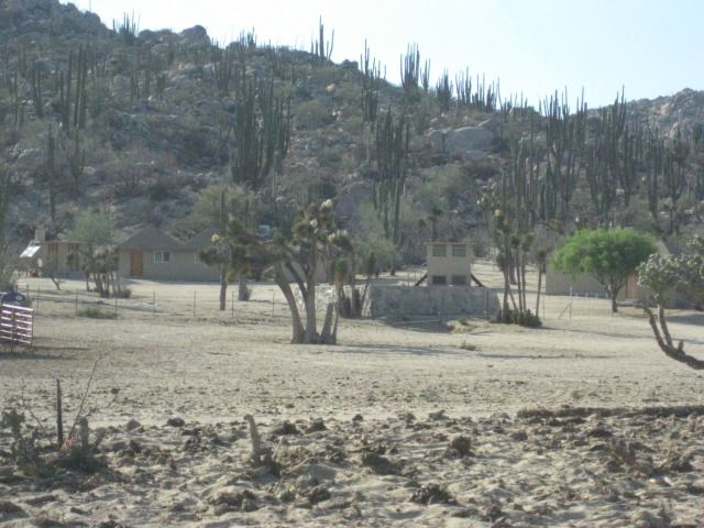
Guest rooms at Piedra Blanca.
Ball moss on a boojum (cirio) tree.

La Cuesta de la Ley.


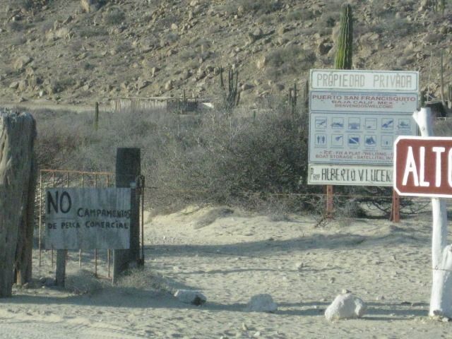
Gate and signs make it not very inviting to go to the cove on the sheltered bay.
This way is open and inviting. Unlike the way it is shown on the map, the graded road goes directly to the cove (Cala San Francisquito) entrance gate, 2.0 miles from the resort.
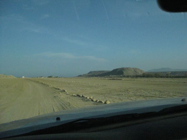
Along the Punta San Francisquito airstrip.
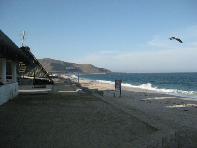
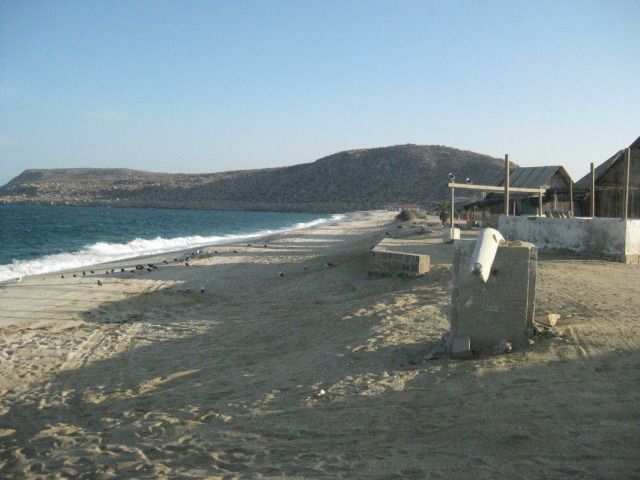
Punta San Francisquito Resort.
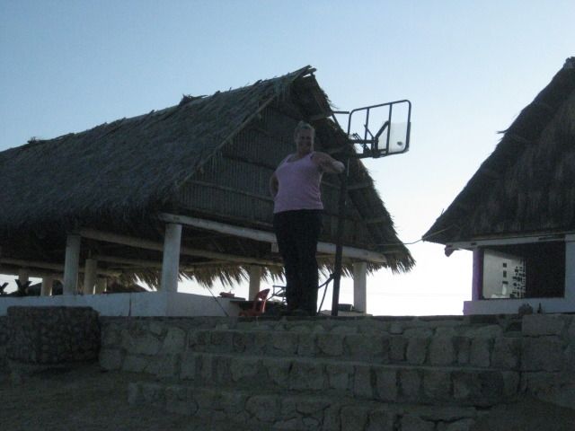
It is 6:20pm and the sun is still up, but not for a whole lot longer. We have a look around and chat with the lady in charge, who was watching TV. It is windy, waves are crashing on the beach and setting up camp here would be a chore. We also didn’t get a very receptive greeting even though there were no other guests there. When I asked the lady about that, she just said it was too hot for tourists, and returned to watching TV.
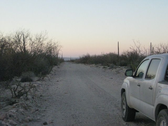
We decide to push north for Bahia San Rafael, 35 miles away… We get to San Rafael at 7:30, and the man who runs the camp there, Poncho, is gone and his house is locked up. There are fishermen shacks and one man is there. We drive down onto the beach to have a look at the one palapa on the sand for camping. It doesn’t look real inviting. We see a few coyotes nearby, and I capture one with my camera who is brave enough not to run away. There is another access road onto the beach a bit north, so we turn around and drive back out on Poncho’s driveway to drive 2.1 more miles north to the other beach. That works out perfect for us. We set up camp with ease (love that easy-up tent), make dinner, and enjoy campfire time before turning in for a great night’s sleep!


This is the grade shown on the map as Puerto el Portezuelo.

Sunset, just a few miles from San Rafael.

On the beach, just beyond Poncho’s and the fishermen shacks.

Tomorrow (Day 14) we head for Bahia de los Angeles and meet up with old friends
Pages: 1 2 3 4 5 6 7