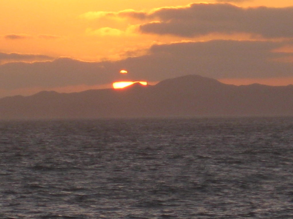
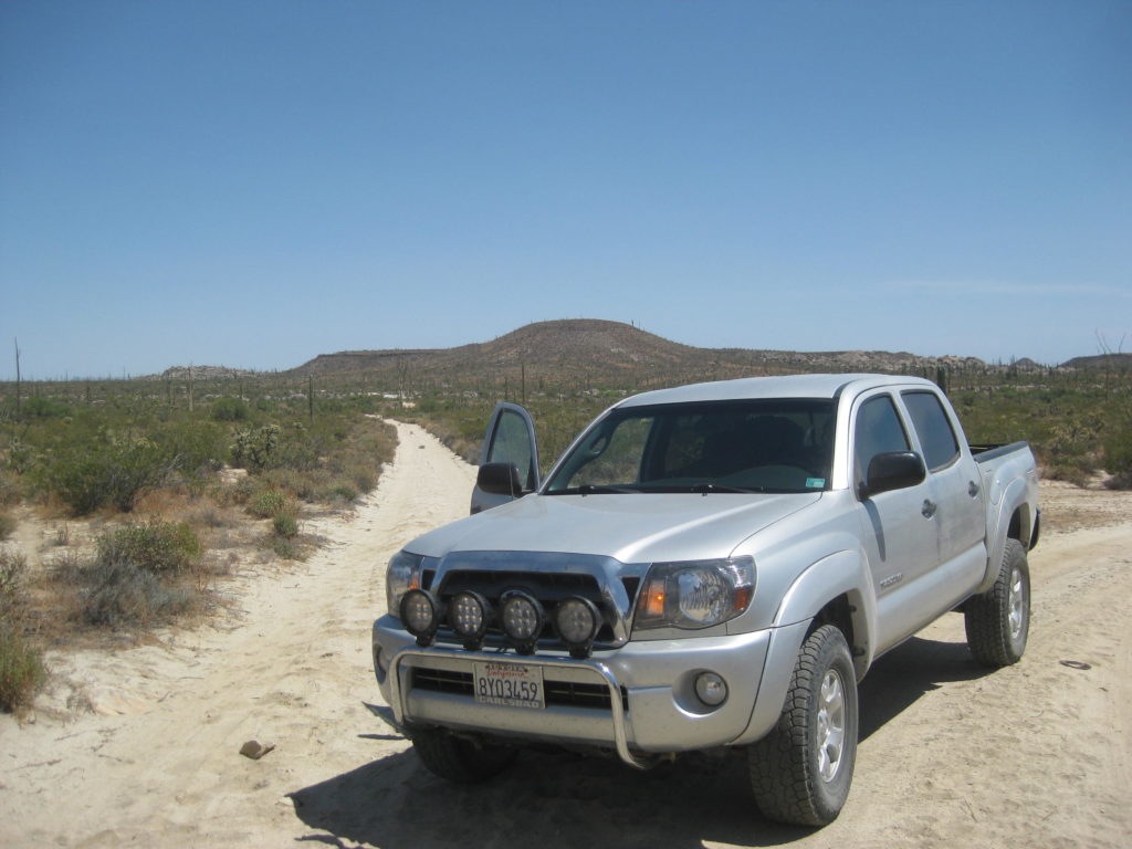
DAY 5 (Tue. June 6, 2017) To Bahía Tortugas and beyond!
Today’s goal was to check out the two main routes to Bahía Tortugas and as much exploring as time allowed.

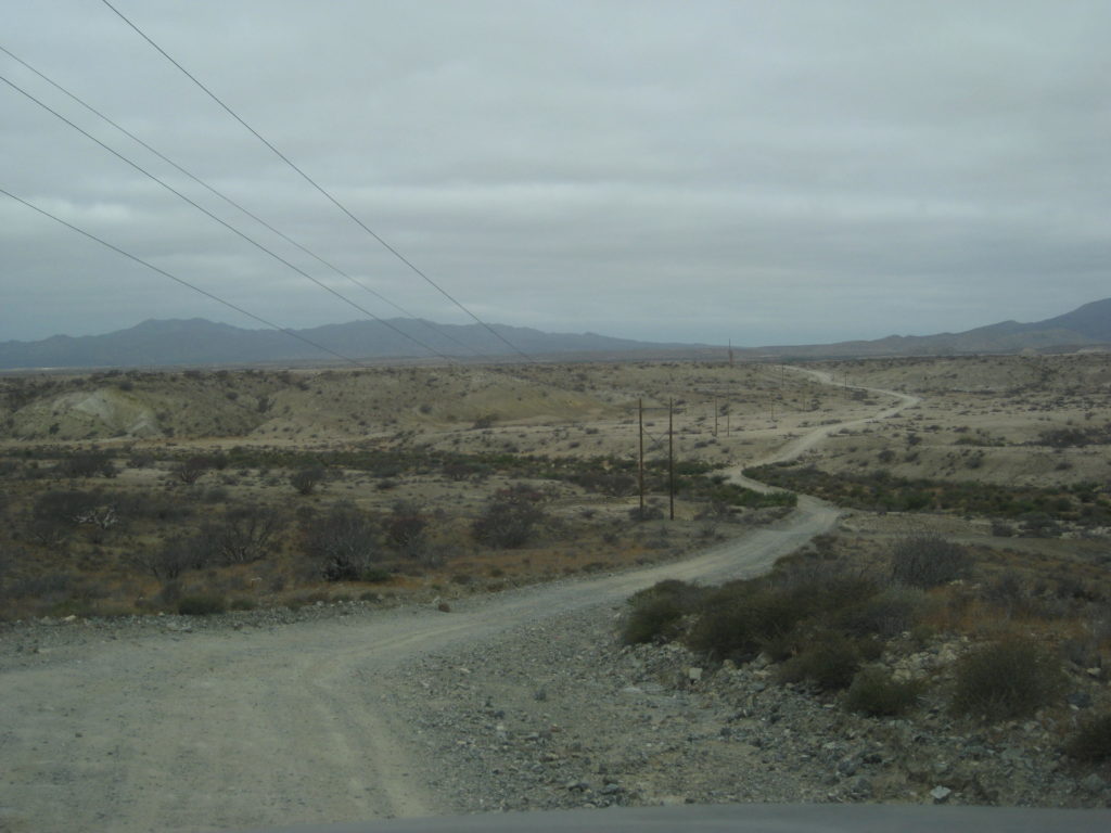
To find the unmarked road for Tortugas, head east on the paved road from the Asunción Pemex Gas Station for 0.3 mi (1/2 kilometer) to a curve in the highway where the propane filling tank is located. The Tortugas road forks off to the left (northeast) at the curve. This would be Km. 38.5 if there were half-kilometer signs.
Set odometer to 0.0 at the paved road/ Tortugas dirt road junction.
0.8 Fork to right for the airport. A new airport road goes directly to the highway at Km. 37.
12.3 Road to the south.
21.6 Road south to Bahía San Cristóbal.
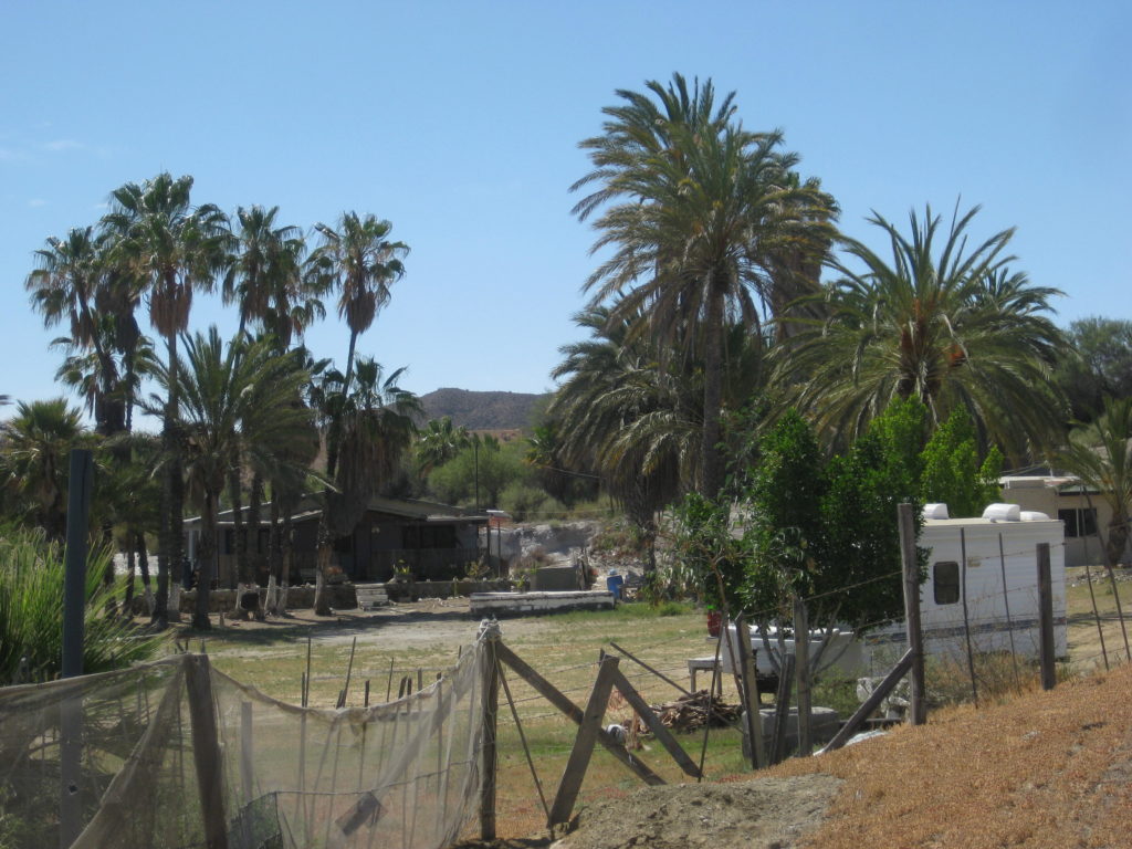
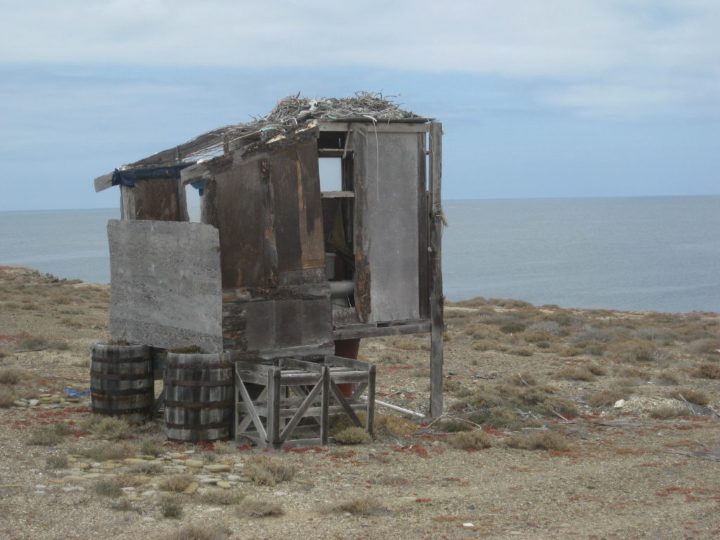
32.8 Abandoned buildings off to the right.
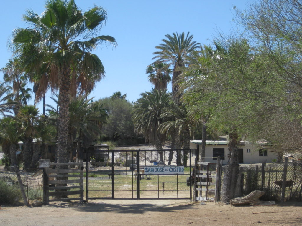
33.0 Rancho San José de Castro.
34.0 Tortugas/ Vizcaino Highway, Km. 117.5, Sign “Rancho San José”
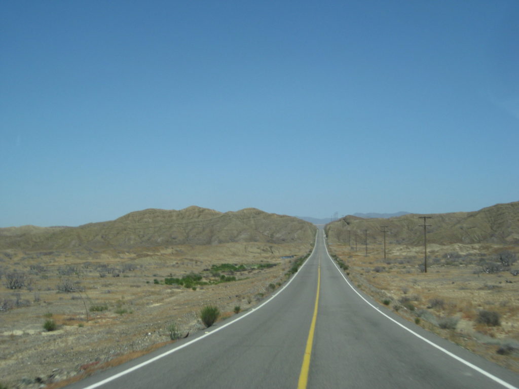
It is almost 33 miles from the Rancho San José/ Bahía Asunción dirt road junction to the entrance to Bahía Tortugas. It is all well paved.
Approx. Km. 168 or 24.5 miles after the above road junction is the road that heads northwest to fish camps, shown on maps as Malarrimo and El Queen.
The kilometer signs near the end of the highway are missing, but it would be Km. 172 at the entrance to Bahía Tortugas.
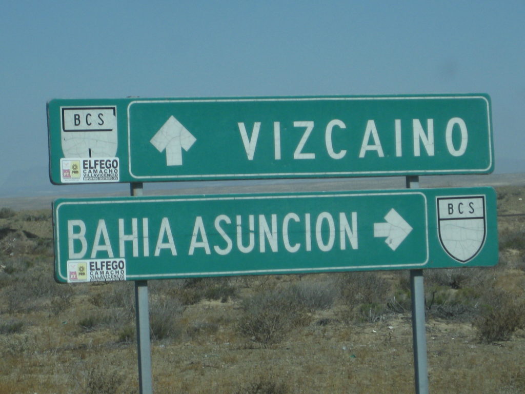
There is a Pemex station on the left but a busier and bigger one is a bit further in town and on another street paralleling just west (to the right). Just 1/10 mile past the Pemex is the signed road right to Punta Eugenia.
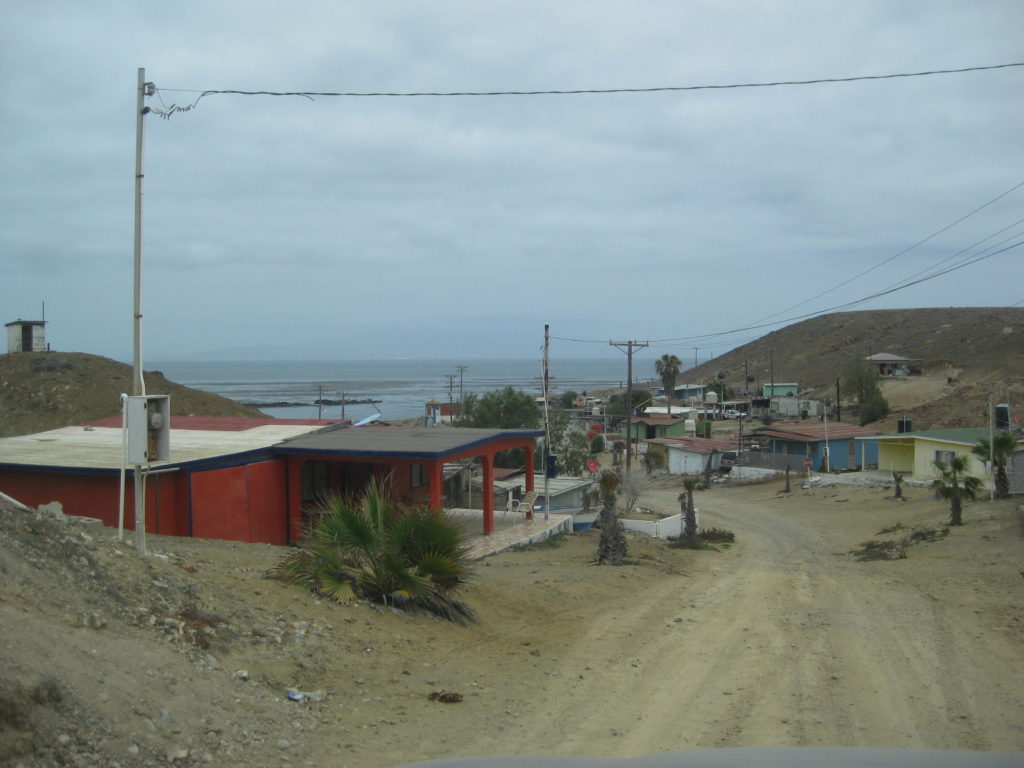
It is a mile from the town entrance to the bay shore. I drove around a bit, spotted one hotel (Motel Rendon) and it was across from the Restaurant El Moroco.
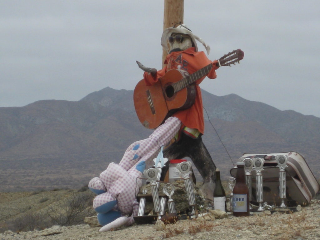
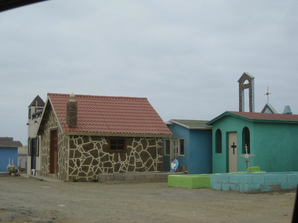
I drove over to a view spot just west and saw a ‘City of the Dead’, which is what a scaled down or mini town, over a cemetery, might be called. Perhaps the most interesting thing I saw in this compact and busy little city (or big town) of Bahía Tortugas.
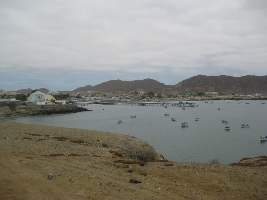
Now, it was on to Punta Eugenia, the tip of Baja’s big hook into the Pacific.

To Punta Eugenia and Punta Falsa
Set odometer to 0.0 at the signed junction to Punta Eugenia on the Tortugas entrance road, 0.1 mi south of Pemex.
0.1 Cross Street The road to Punta Eugenia angles to the right, heading northwest. Left on this cross street goes to the larger Pemex gas station and eventually out to the cemetery in 1 mile.
7.2 Road south to coast.
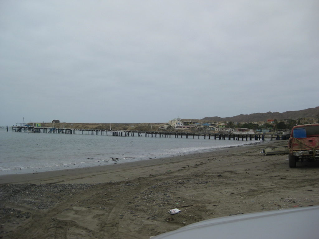
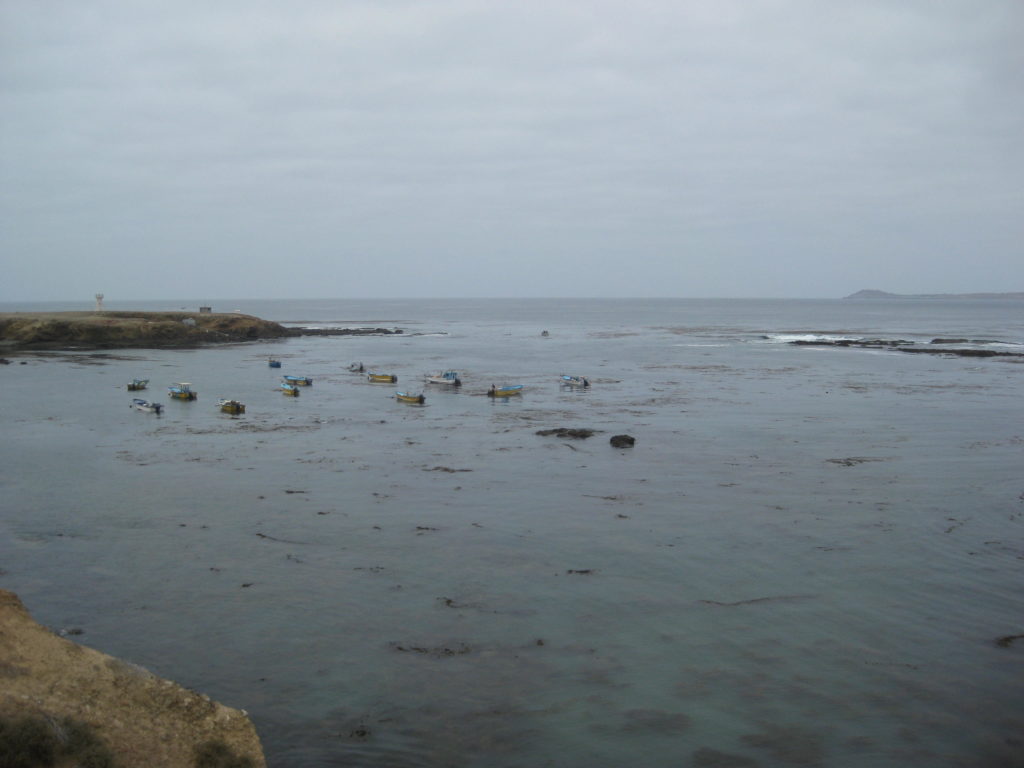
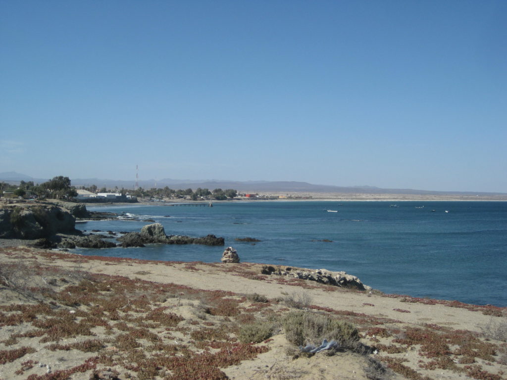
16.0 Punta Eugenia, town, boat launch, transport across to Isla Navidad, a popular surfing location.
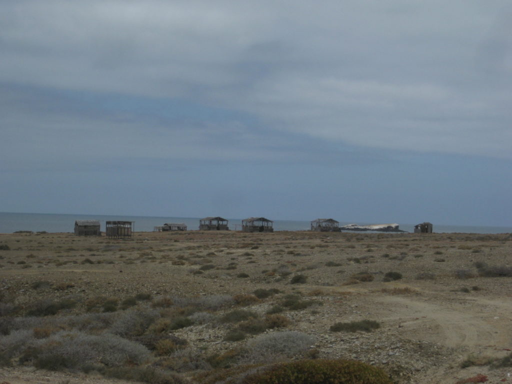
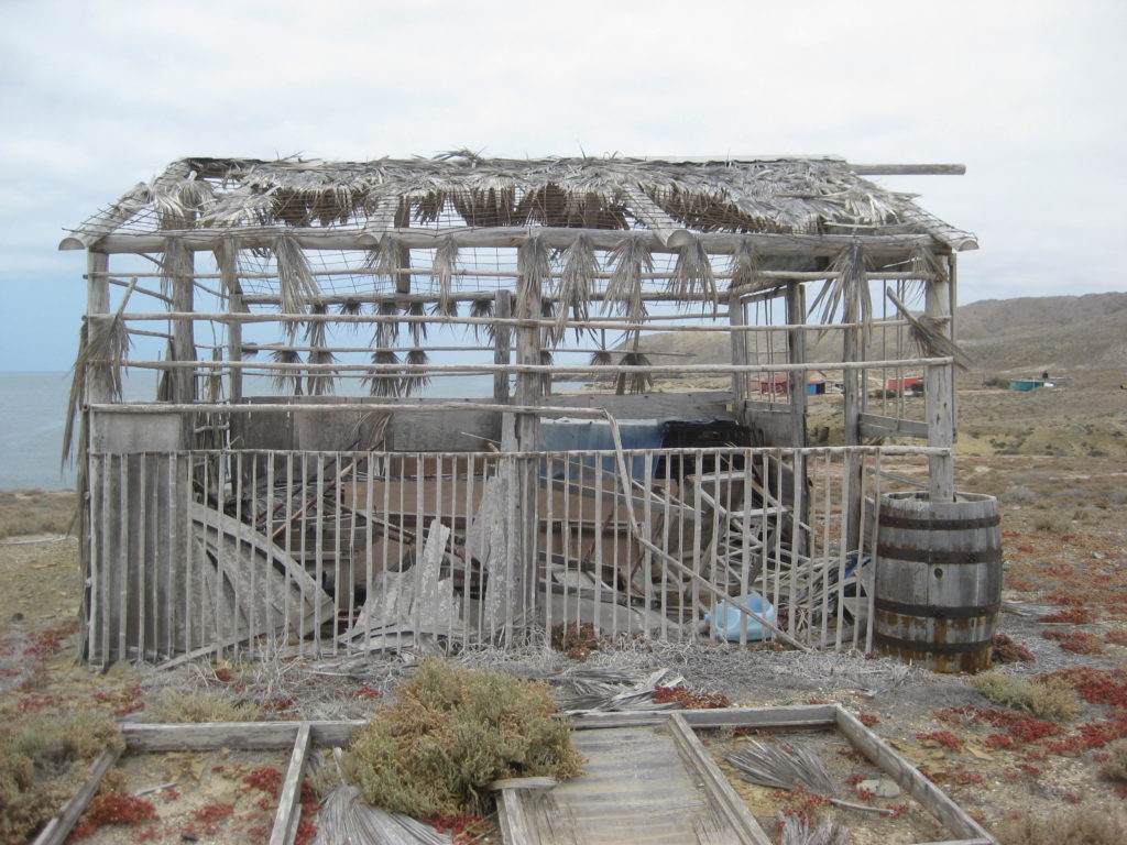
17.8 Punta Falsa. Several ruined palapas once served campers here. A fishing camp is just east. View north of Isla Cedros and the salt hill where salt from the Guerrero Negro facility is barged out to Cedros Island. There it is then transported onto large ocean ships.
Malarrimo = ‘Bad to be near’
Back on the pavement on the north edge of Bahía Tortugas heading east, I double check my odometer mileage and kilometer post notes.
[The K figures in these brackets are what the Km. position should be IF there were kilometer markers nearby]
0.0 Punta Eugenia signed road at the pavement, Bahía Tortugas. [K172.5]
0.1 Pemex station[K172+]
1.7 Road off to the northeast for fish camps ‘Malarrimo’ and ‘El Queen’ (not signed). [K169.5]
2.0 Road south to El Rincon and Bahía Cambrey (not signed). [K169+]
2.7 Km. 168 marker.
22.4 Km. 135 (my odometer figure is about a 0.7 mi too fast over the 20 miles if the kilometer location is correct).
33.0 Rancho San José (de Castro) and road I came in on earlier. [K117]
33.3 Old road north to Malarrimo Beach, also called the ‘Arroyo Road’ [K116.5]
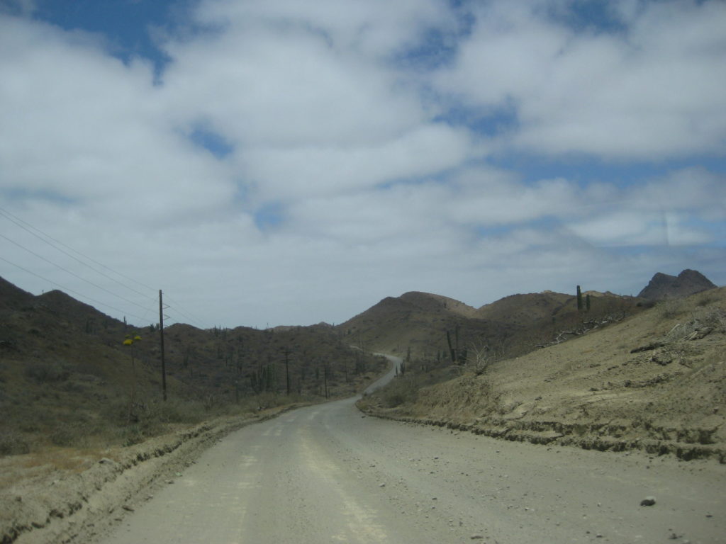
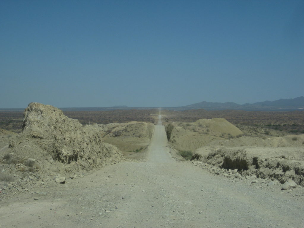
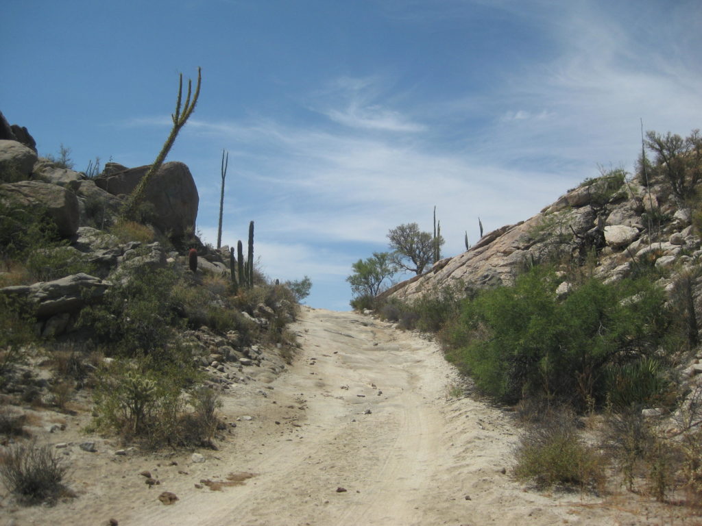
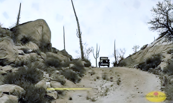
It is already after 3 in the afternoon but I give it a shot… The road first passes the foundations of an abandoned ranch, just north of the highway. The road is not used by any recent traffic beyond. It goes through a pass in the hills and brush is overgrown onto the road.
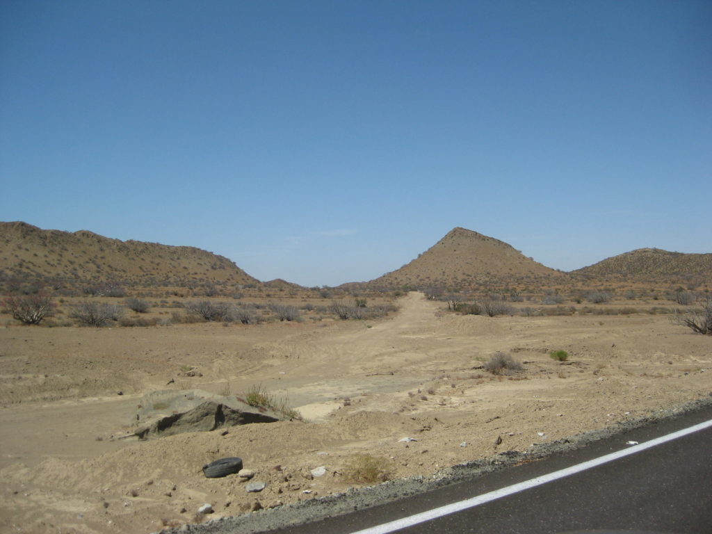
It is clear this side trip requires a full day devotion and time to explore the beach, 26 miles away. I turn around a mile from the highway and continue on to Bahía Asunción.
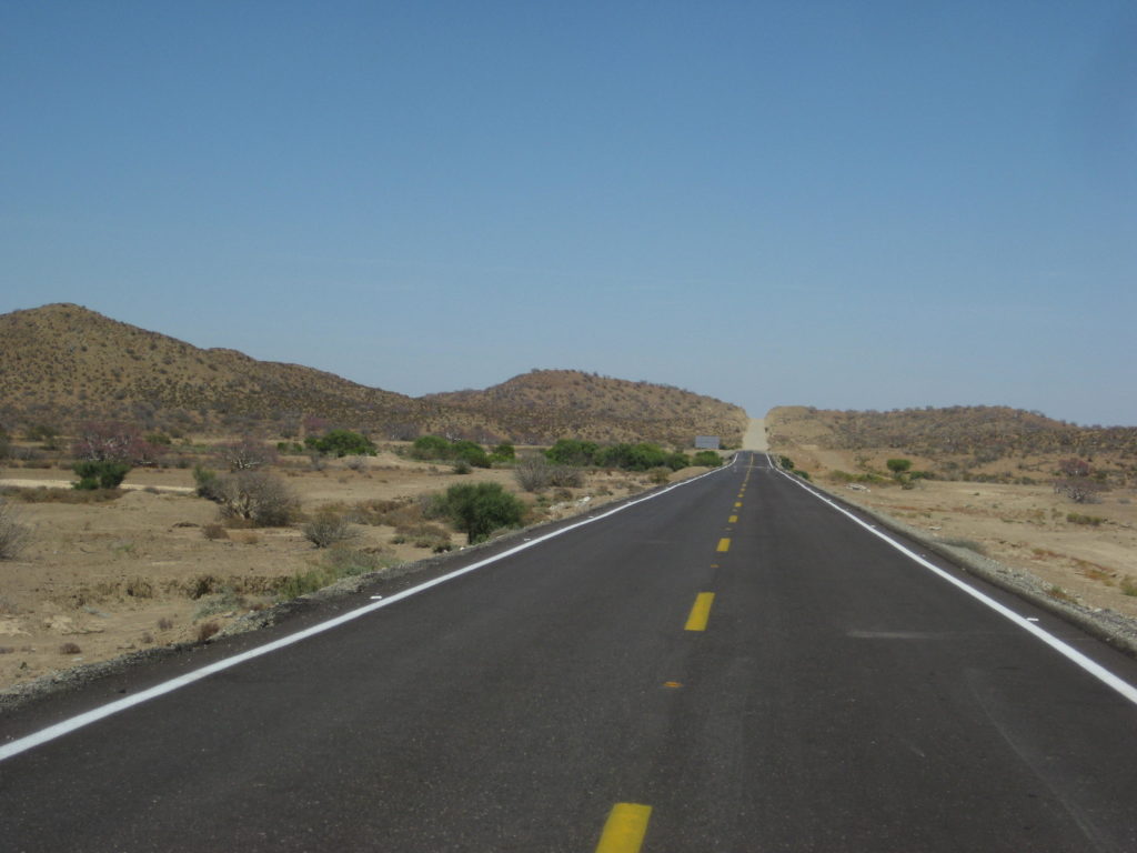
Km. 0 on the Asunción Highway begins here. It is 39 kilometers to the town entrance of Bahía Asunción. (24 miles). They are fast and easy driving miles.
The road south along the coast to Punta Prieta, San Hipolito, La Bocana, and Punta Abreojos is at Km. 34.
The direct dirt road to San José de Castro by the Tortugas highway is at Km. 38.5 (just past the propane tank).
The Bahía Asunción gasoline station would be Km. 39, if there was a sign.
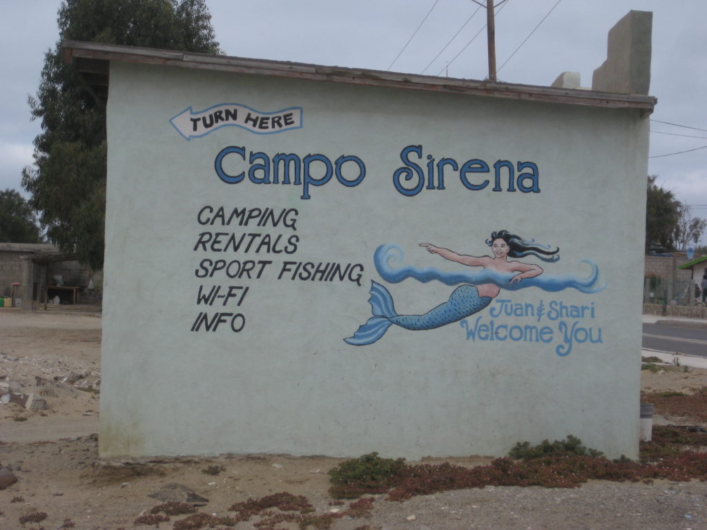
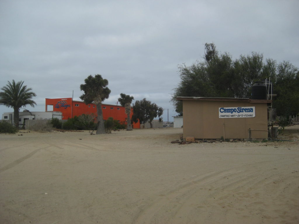
Shari invites me to dinner she has been cooking all day and it was great: Rabbit with mole sauce (say “mo-lay”. It was so good and was my first rabbit, too!
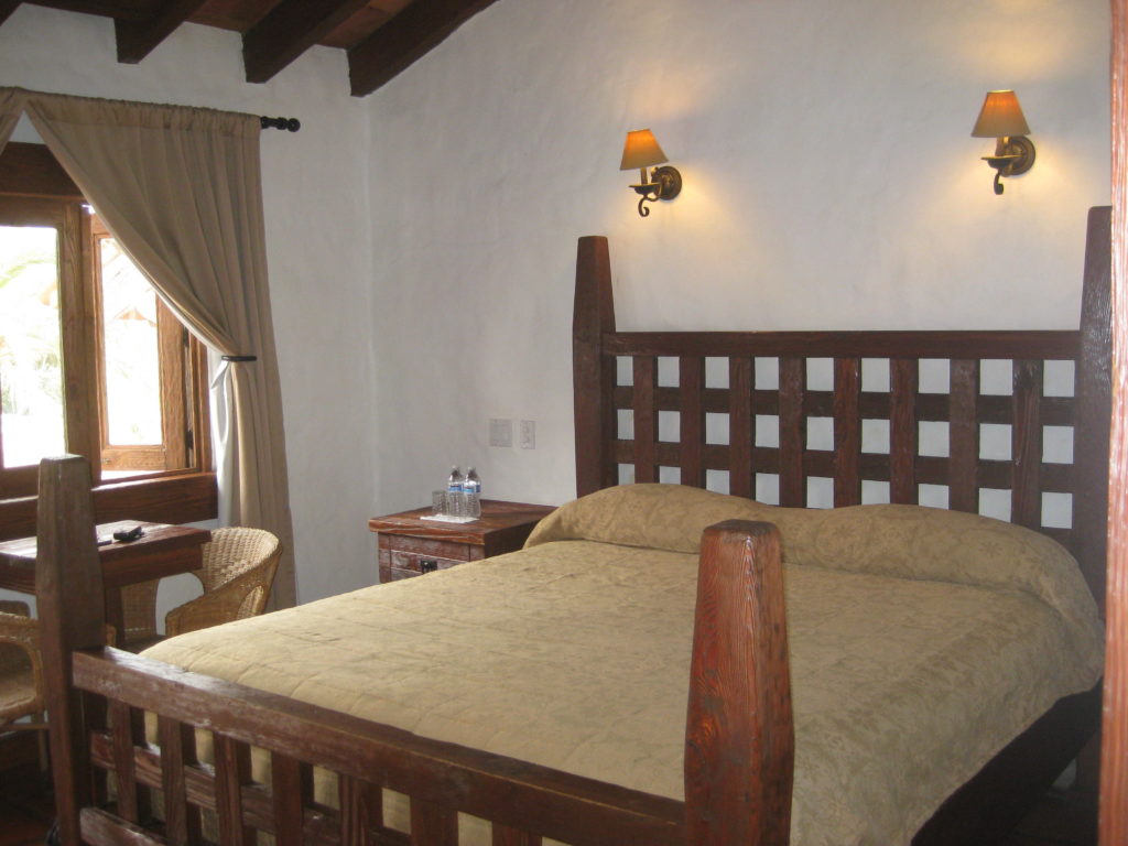
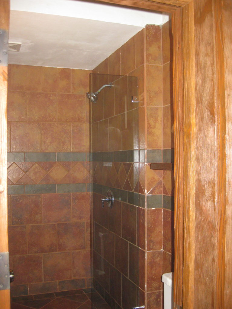
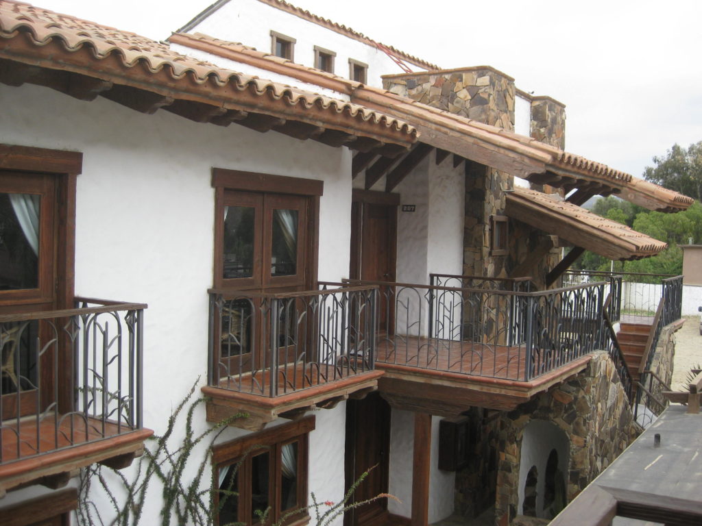
The ocean sounds just outside my room (The Dolphin Room) at La Bufadora Inn are wonderful for sleep.
Want to know more about Bahía Asunción and La Bufadora Inn? Go to www.bahiaasuncion.com
END of DAY 5.
Tomorrow, I make a run for El Rosario and take the time to visit the pronghorn research center and Agua Dulce historic spring on El Camino Real, the mission road in Old California (Loreto to San Diego).
DAY 6 (WED June 7, 2017)
A second great night at La Bufadora Inn, with the sounds of the ocean splashing below, had passed. Today, I must migrate north to make the final drive home easily doable in a day’s drive.
Shari made me breakfast and coffee so I had a good start. The truck was loaded and I was about to leave when a young man walked up looking for Shari.
His name is Martín and he had been invited to Bahía Asunción as a diver to harvest sargasso (kelp). When he arrived, the co-op or whoever changed their needs, and he had no job after all. Shari asked if I could take him to El Rosario and he could then catch a bus to Ensenada where he could find work.
No problema, I made room easily for his suitcase and a tank and off we went. He spoke no English, but my Spanish was enough for us to communicate. He understood that I was on a mapping and research trip with some side trips along the way to El Rosario.
We left Shari’s La Bufadora Inn at 9:05 am. Martín needed to stop at someone’s house to get something and again at the market in town to sell something. Both stops required about 10-15 minutes of waiting for the person he needed to show up. Obviously, I was not sure what was happening and I did not want to become a drug transporter (worse case scenario). I bought a bag of ice at the store ($1.50) while waiting for Martín to conclude his business. Finally leaving town and it was a fast drive on the good highway (no potholes). Arrived at the Tortugas highway at 10 am and at Vizcaino at 10:40 am.
Crossing the state line at the Eagle Monument, there was no immigration stop. 11:30 am became 10:30 am with the crossing back into Pacific Time.
The Km. marker on the north side of the Eagle traffic circle is Km. 127.
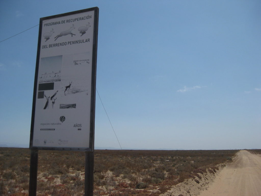
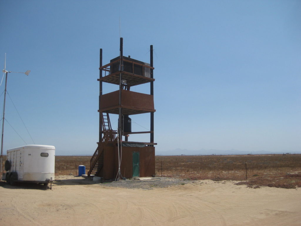
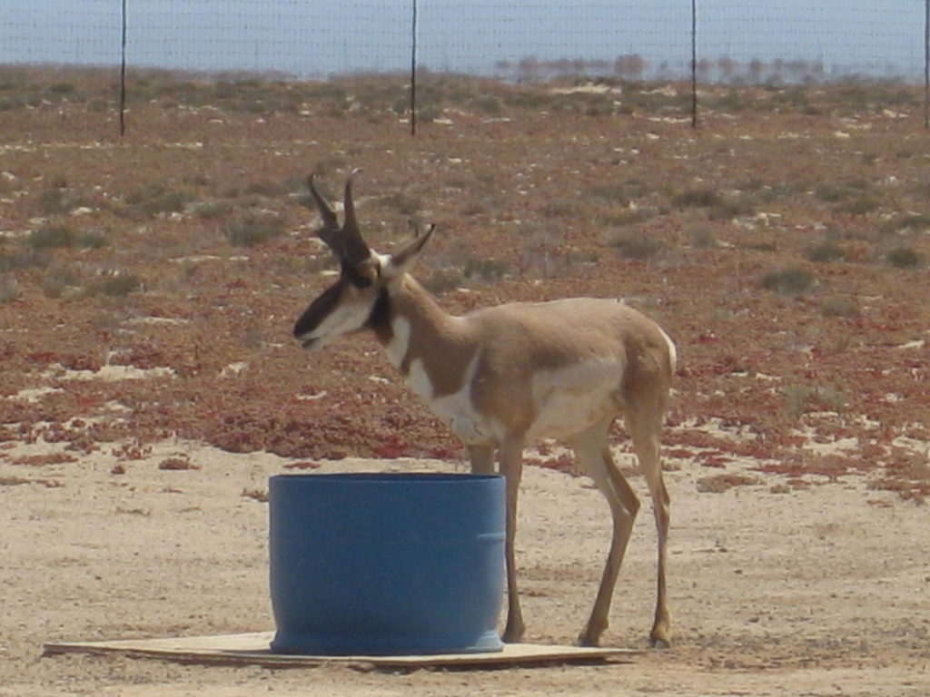
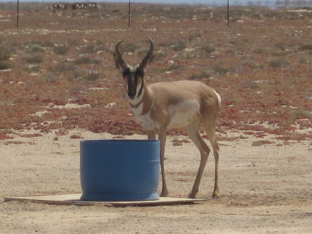
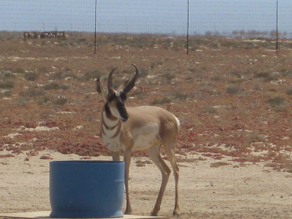
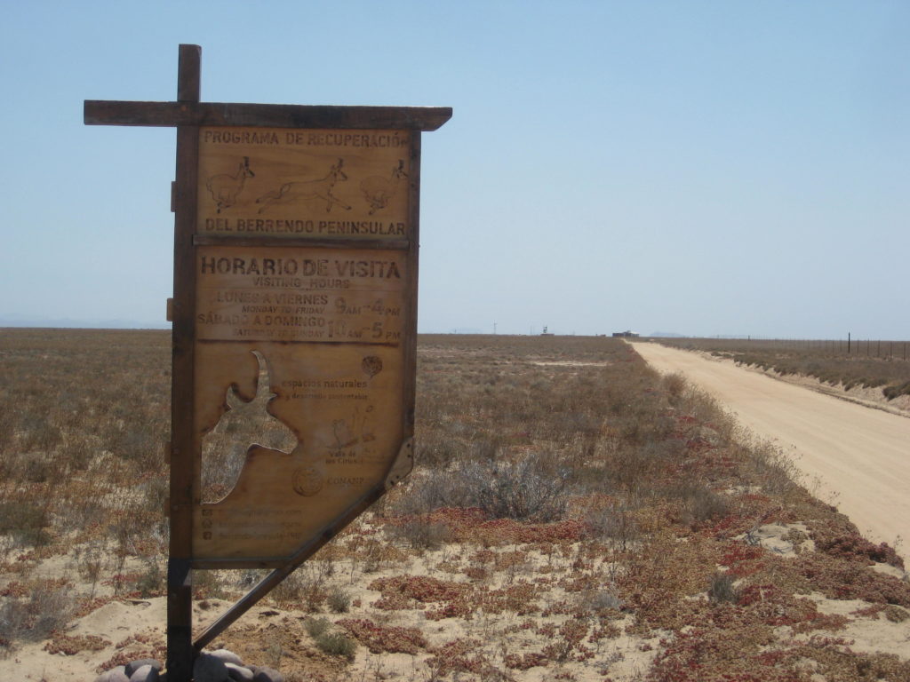
At Km. 123 (2.4 miles north) is the signed road east to the Pronghorn Research and Breeding Facility. It is an easy 1.6-mile dirt road in, a fence needs to be opened just before the buildings, where you park.
Two young ladies and a young man were there and welcomed us. Nobody spoke English but I was able to understand the majority of her explaining the program.
The director’s name is Ana Isabel Razo Zaragoza and the website is http://berrendo.endesu.org.mx/acerca.html
and http://berrendo.endesu.org.mx/
On Facebook: https://www.facebook.com/Berrendo-Peninsular-PRBP-1750464048526804/
Email: endesugn@gmail.com to perhaps arrange a group tour?
BERRENDO = PENINSULAR PRONGHORN
MAPS:


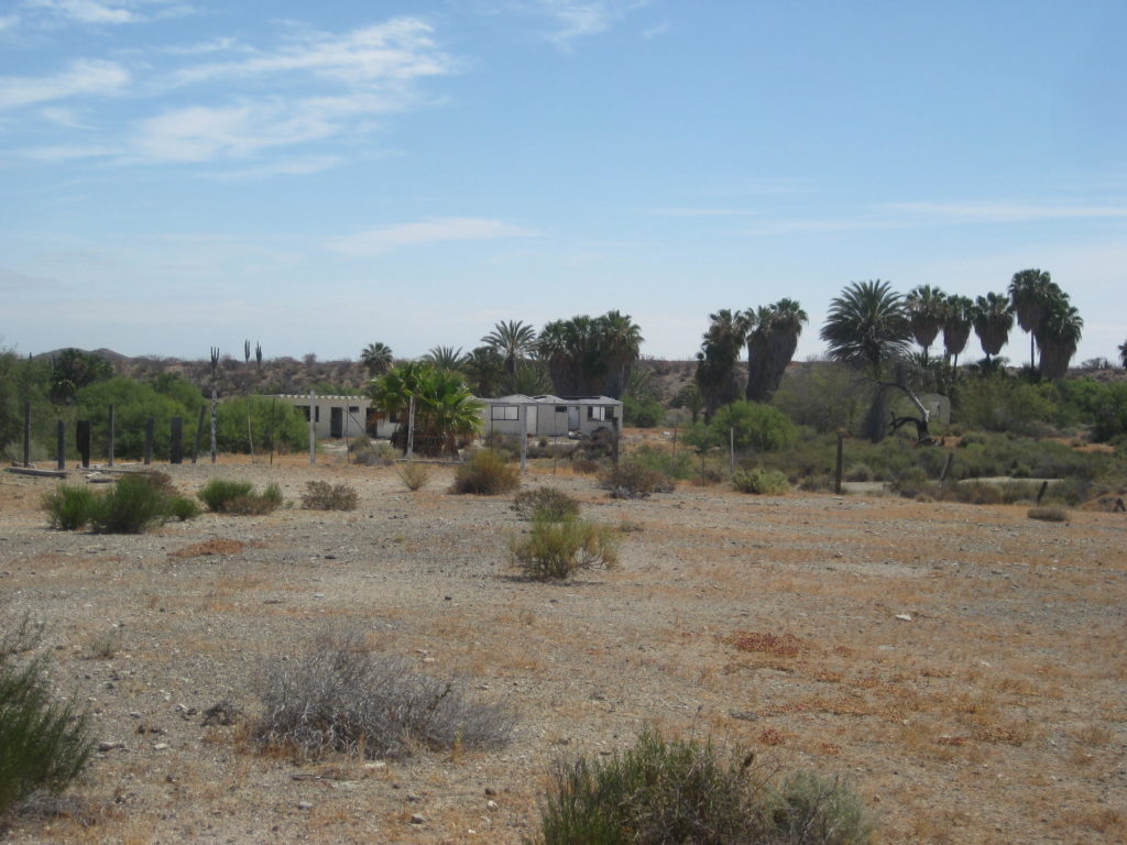
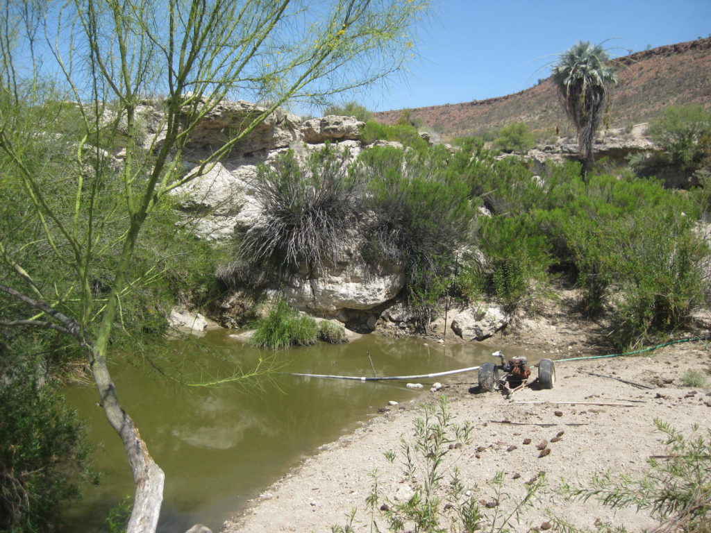
One of the most important sources of water in central Baja, before the modern times, was Agua Dulce (sweet water). Located in a very dry desert plain, between Mission Santa María and Mission San Fernando, on the Camino Real. This large spring made the trek possible for man and beast on the mission road.
Likely, this was the spring discovered by the Wenceslaus Linck-Jesuit expedition seeking future mission sites on March 3, 1766, and named Keita by the native Californians.
When the Franciscan leader, Junípero Serra, traveled from Loreto to San Diego, the future saint rested here and named the spring “Sweet Water” (Agua Dulce). That was in May of 1769.
In the old dirt road days of Baja travel, Agua Dulce was just 1/4 mile off the main road to La Paz. My parents and I camped there on our Jeep trip to Cabo, in 1966.
In the summer of 1973, the new Transpeninsular Highway was built about a mile west of, and parallel to, the old main road (in this area). When we passed by this site, the detour off the new roadbed took us back to Agua Dulce. The highway crews bulldozed a ramp down to the pond and used the water for highway construction and looked to have really destroyed the historic site.
I returned in 2002 and found that Nature had done well at healing the 1973 damage and spent some time there thinking of my parents, who had both left this world years before. In 2005, I once again returned to Agua Dulce with my future wife (‘Baja Angel’) to show here the famous spring. It was looking better than ever, with much water (but the presence of cattle and their droppings made it not so ‘sweet’). A new, better access road to the spring was made and reported by Neal Johns.
I recent years, friends on Baja Nomad forums reported a ranch was established by the spring and a gate blocked access to it. I HAD to see if that was still the case.
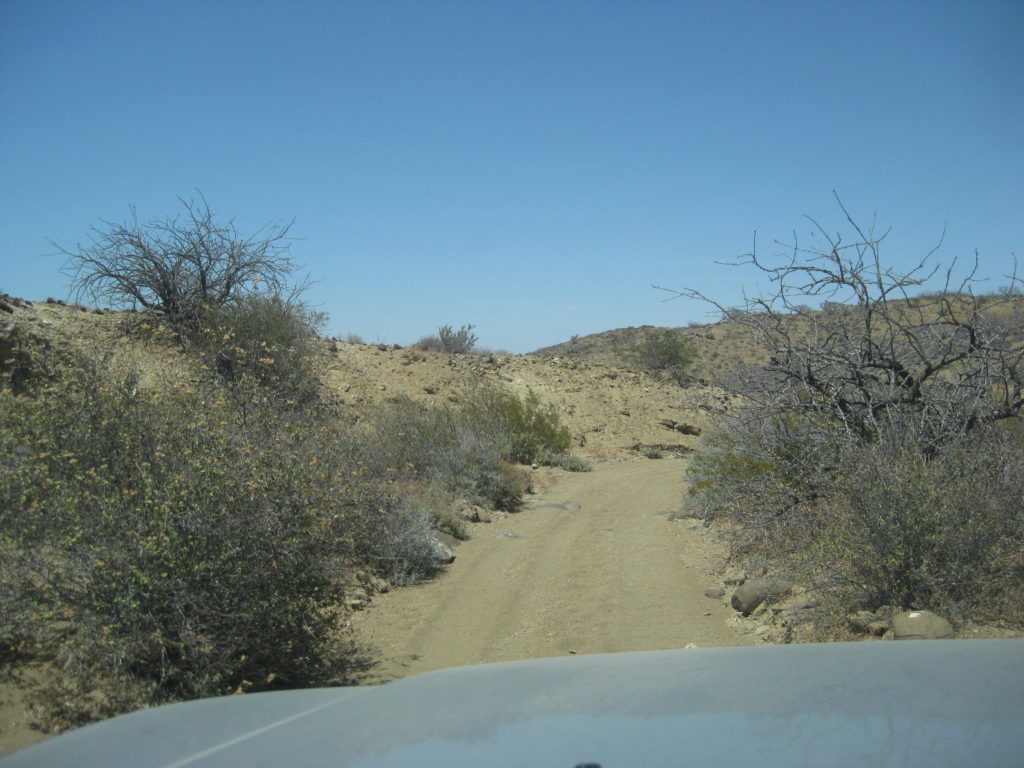
Km. 160.5 and hard to spot, but the only auto track around going to the east of Hwy. 1… I hit the brakes and got right on it. Martín probably thought I was nuts.
It is 1.2 miles over to the old main Baja road (the original 1967-1972 Mexican 1000 road). Turn left (north), over a crest of granite to a fork at Mile 1.6, and to the right through an open gate and right past the front of the ranch house to park above the spring, in a gully below, Mile 1.8 from Km. 160.5.
I drove very slow, parked and got out… a few ranchers came out of the house to see who just came into their back yard. I waved and asked if it would be okay to take some photos of the spring. They enthusiastically welcomed me to go right ahead.
Back in time 81 years:
AGUA DULCE
Martín and I left Agua Dulce and as we passed the ranch house, I confirmed with the ranchers standing about that their ranch was named the same as the spring, ie. Rancho Agua Dulce.
My impression should any of you come by and the gate is closed (but not locked or signed no entry) to let yourself in, ask if you can take photos, and enjoy the time travel experience here. Gates that are not locked are to control livestock not keep out visitors. I have never met an unfriendly in the backcountry of Baja and that includes the time (17 years ago) I unknowingly hiked into a marijuana growing project in a canyon near San Felipe! All smiles!!
Back out to Hwy. 1 and an easy drive to El Rosario, getting there about 4:30. I drop Martín off at the bus station but wait to hear if he makes the connection okay. He comes back out to tell me the bus to Ensenada will be there in a few hours, but he is 100 pesos short on the ticket cost. No problem, I took care of that. The poor guy had to hear my history lesson in bad Spanish, after all!
Around the corner to Baja Cactus Motel and a little bit of heaven on the highway!
Large, flat screen TVs! It was just installed and not even connected yet… but it was soon after I took the photo. More TV news, instead of the so-so some snowy, local satellite TV (12 channels, half in English), there will be Dish Network TV with 60+ channels in high definition and music channels, too.
An interesting historical note, my first time staying at Baja Cactus was Thanksgiving weekend, 2004, when Antonio brought the new rooms their TVs, purchased in San Diego. So nearly 13 years later, new TVs again… Good job Antonio. Sure, I know we don’t go to Baja for TVs, but he wants you all to have a top rate room experience on par or better than any other similar place in either country. The in-room coffee makers are a hit.
DAY 7 (THU JUN 8, 2016) El Rosario to San Diego County
Today I was heading home, I had a great night at Baja Cactus (Room 202). Antonio, Isela, and I went to the Restaurant ‘Loncheria El Faro’. It is a newer place, owned by a man from Faro San José and his wife who cooks with the flavor of her native Oaxaca. This was my third meal at Loncheria El Faro (previously had a shrimp dinner and a breakfast here, both were great).
We all had the fish dinner, choices were halibut and corbina. It was excellent! The lemonade made with mineral water (we got a pitcher) was great. The cost for dinner was US$20 (that was all three dinners, drink and tip). Unbelievable! My treat!! El Faro is at Km. 59, next to the San Borjas Tire Shop, left side of the highway if southbound.
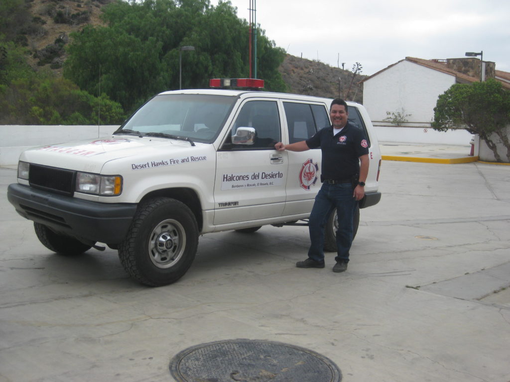
Antonio (‘BajaCactus’) and Isela were busy with prepping for the Baja 500 support when I was coming through El Rosario earlier this week. The Red Cross in Camalu asked for the services of Antonio’s rescue service: Halcones del Desierto (Desert Hawks) Desert Hawks on Facebook
The energy this man has and his quest for quality and fairness is so admirable. For those of you unfamiliar with Antonio Muñoz: He assumed operations of his family’s business nearly 20 years ago. At the time, a small motel and the Pemex gas station (next door). He built a new, modern motel on the site with amazing rooms and services generally unknown in central Baja or on many highways in either Mexico or the United States. His rates are crazy-cheap for such luxury and he even maintains a few of the original motel rooms (but they were recently refurbished) at even lower prices.
The El Rosario Pemex gas station is famous for having 100% honest pumps, not all that common in Mexico where an 80-liter tank can magically hold 90 liters out of a tampered pump!
A few years ago, seeing the need, Antonio and volunteers from El Rosario received EMT training and he has a fire/rescue service that has rendered help all along Highway One between San Quintin and Punta Prieta… 200 miles of (mostly) dangerous highway! See the Facebook link above.
The government provides almost no help, so donations are all that keep Antonio going with this (and any profits from staying at his motel or buying his gasoline).
Antonio sells my Baja mission history books (I donate them so all sales income goes to the Desert Hawks) as well as other items, in the motel lobby.
I say goodbye, top the gas tank at his Pemex station (15.99 pesos/liter) and 50 liters is about 800 pesos. You can use a debit card here with only the 3% bank fee added. Dollars this day were valued at 17.00 pesos each, at El Rosario, if you don’t have pesos.
I was on the highway at 9:45 am.
I made many notes for kilometer markers of various spots to add to the list I had already started, plus GPS marking certain points for the future Baja Guide and Map for Baja Bound.
Ensenada traffic was not fun, and I reached the north end of town, by the harbor, at 1:45 pm (150 miles from El Rosario).
Taking Hwy. 3 to Tecate, I stopped at the Guadalupe mission and museum to see the latest additions. A very clean bathroom building (with toilet paper even) was a nice touch (note to new Baja travelers, especially the ladies, toilet paper is typically not supplied in public bathrooms).
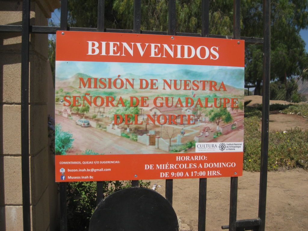
To find the mission, take the paved road going into town, at the Pemex station for Guadalupe (Francisco Zarco). Go 1 mile to a cross street. Ahead the road is divided, turn left to the museum, passing a school.
I reach the Tecate border line at 3:27 and I am cleared into the United States at 3:31. With afternoon traffic, I get home at 5:30. 1,743 miles traveled.
VIVA BAJA!
Baja Missions Facebook group (all historical locations)