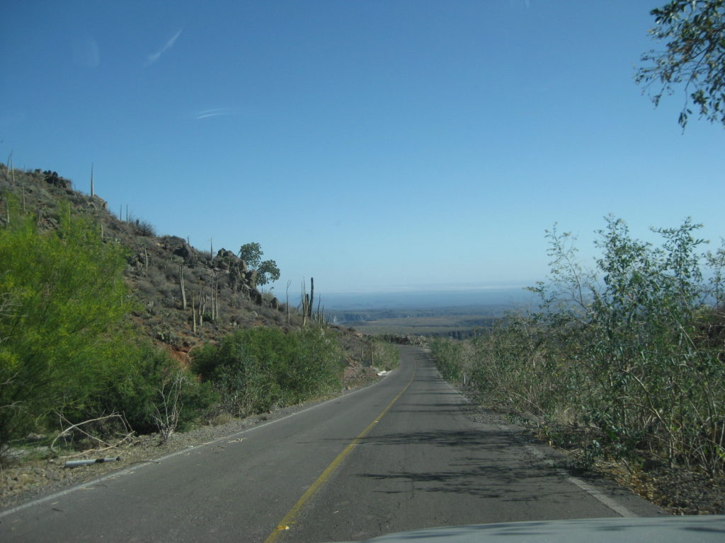
I leave Santa Gertrudis at 11 am and returned back to the Guillermo Prieto intersection (10.9 mi west). A couple miles from the mission, El Camino Real can be seen going up the hillside, heading for San Borja, a three-day ride, to the north…
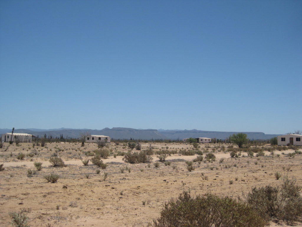
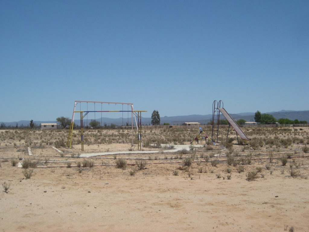
I arrive in the center of Guillermo Prieto, 13.3 miles south of the Santa Gertrudis/ El Arco intersection, at 1:06 and take 10 minutes to make a PB&J sandwich. The town was abandoned long ago but the playground equipment at the school remains. One home here has become a ranch.
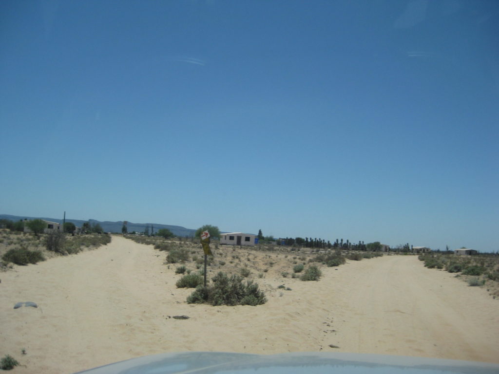
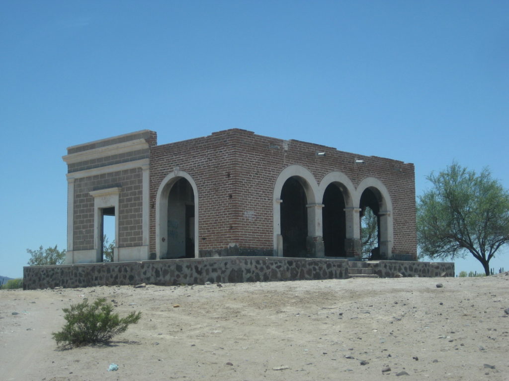
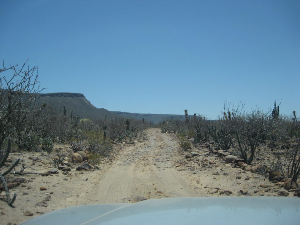
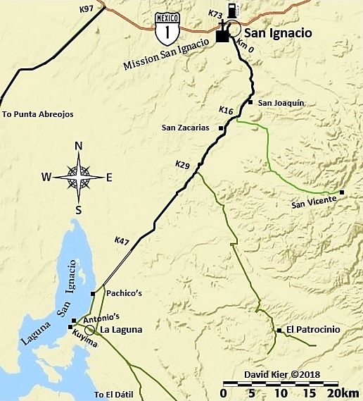
One kilometer (0.6 mi) south of ‘downtown’ Guillermo Prieto the southbound road comes to a T junction. To the right (west) is the road to Hwy. 1 and Vizcaino, San Ignacio, etc. To the left, is a huge farm and on the other side, and old ranch called Prosperidad and an old road south to San Pablo Canyon. In the canyon is a major mission visita ruin, one that had many in the past believe it was a “lost mission” of Dolores del Norte! Baja Nomads have been down this road so I went to see how far I could get.
0.0 T junction (0.6 mi south of Guillermo Prieto and 11.8 mi northeast of Km. 154.5 on Hwy. 1)
1.5 Big Farm Entrance, cattle guard, turn left outside entrance.
1.8 Fork, go left. Road soon bends east and follows farm fence line.
3.5 Northeast corner of farm, the road bends to the southeast and leaves the edge of the farm.
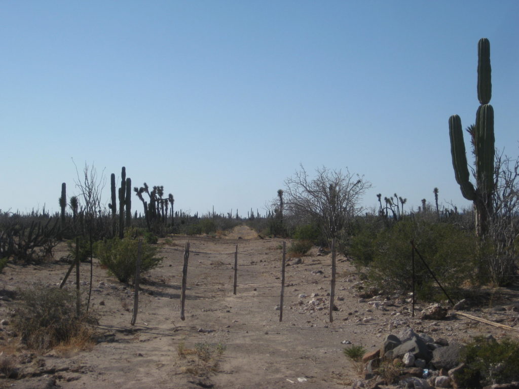
4.6 Cattle gate, pass through closing behind you.
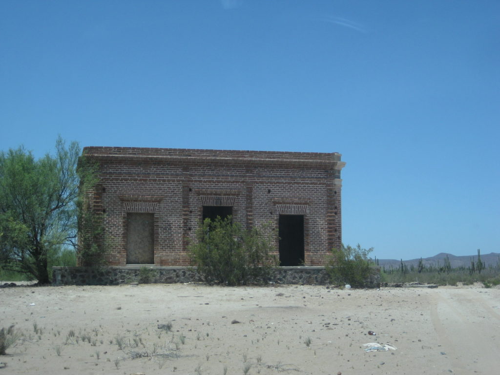
4.9 Prosperidad brick building on a knoll to right and active ranch off to left. The road turns south from the brick building.
5.6 Cattle gate.
5.8 Cattle gate.
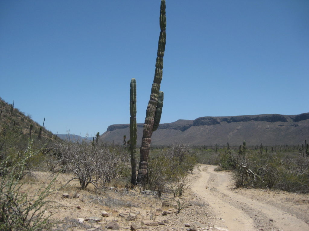
The road is an old-old roadbed perhaps made by the French Boleo Copper Mine company.
8.4 Locked gate at the entrance to San Pablo Canyon.
[In 2019, I returned with a guide and the key to the gate! Photos of Visita de San Pablo are in the May 2019 trip album. https://vivabaja.com/p519/3/ ]
MAPS:


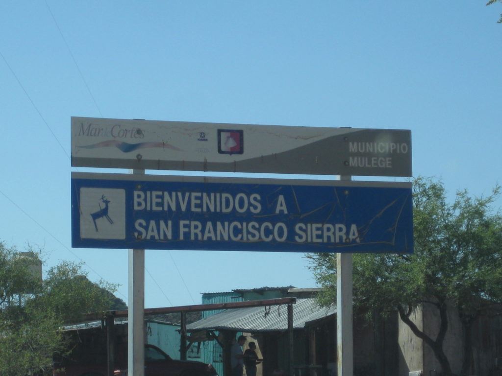
To San Francisco de la Sierra:
Baja California is sometimes called ‘a thousand miles of fun’.
In fact, it is not only a thousand miles from north to south on the highway, but when you add all the crisscross and other roads I hope to travel in 2017, it seems like a million miles!
I have already logged over 7,000 Baja miles on the five mapping trips this year!
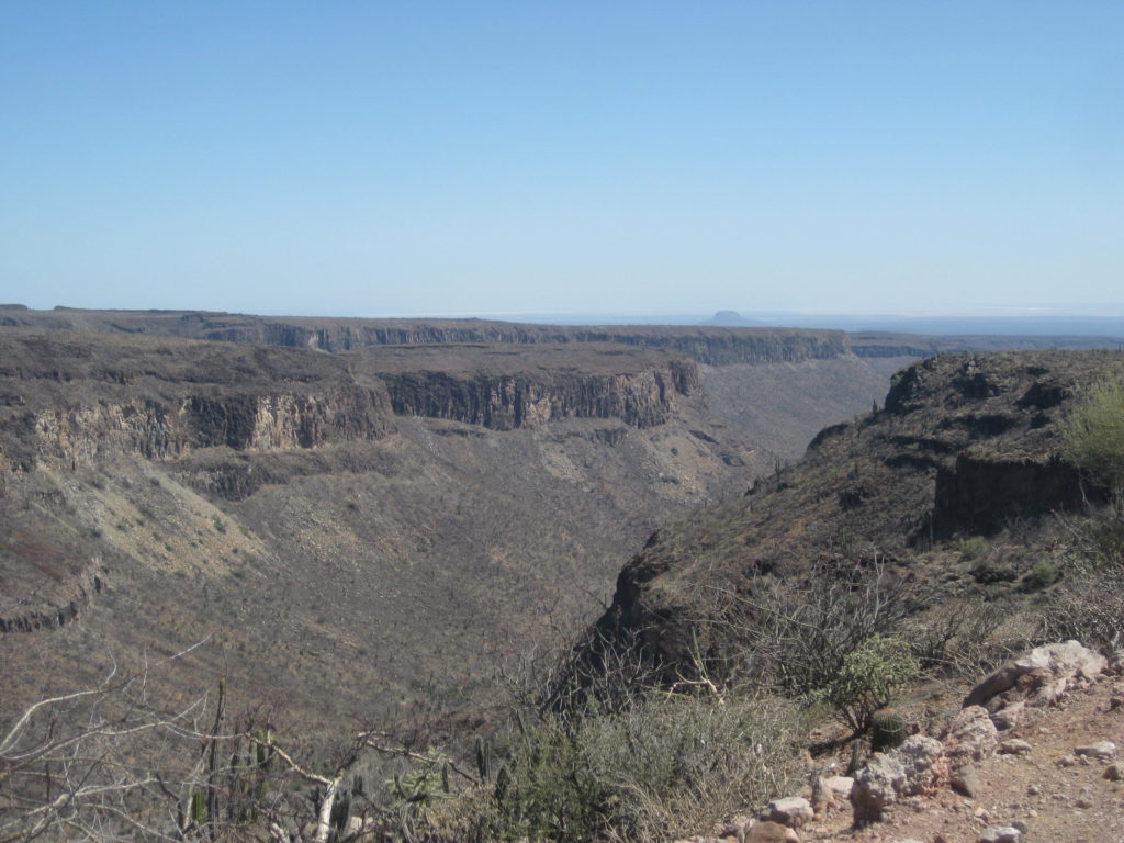
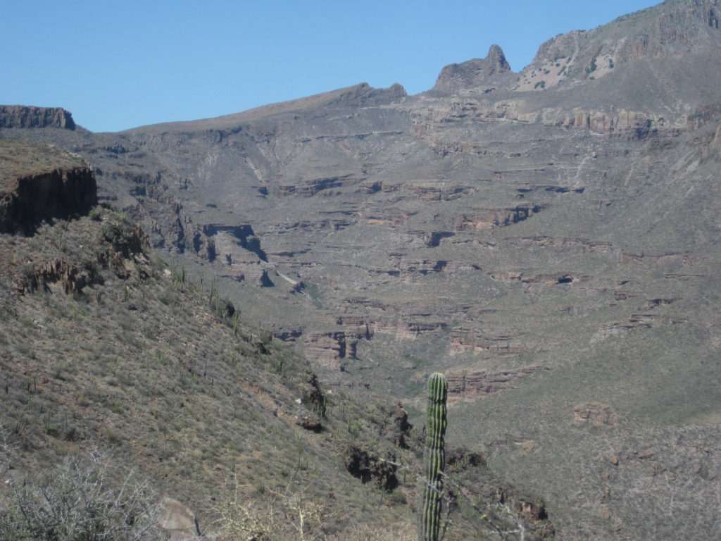
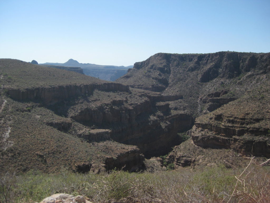
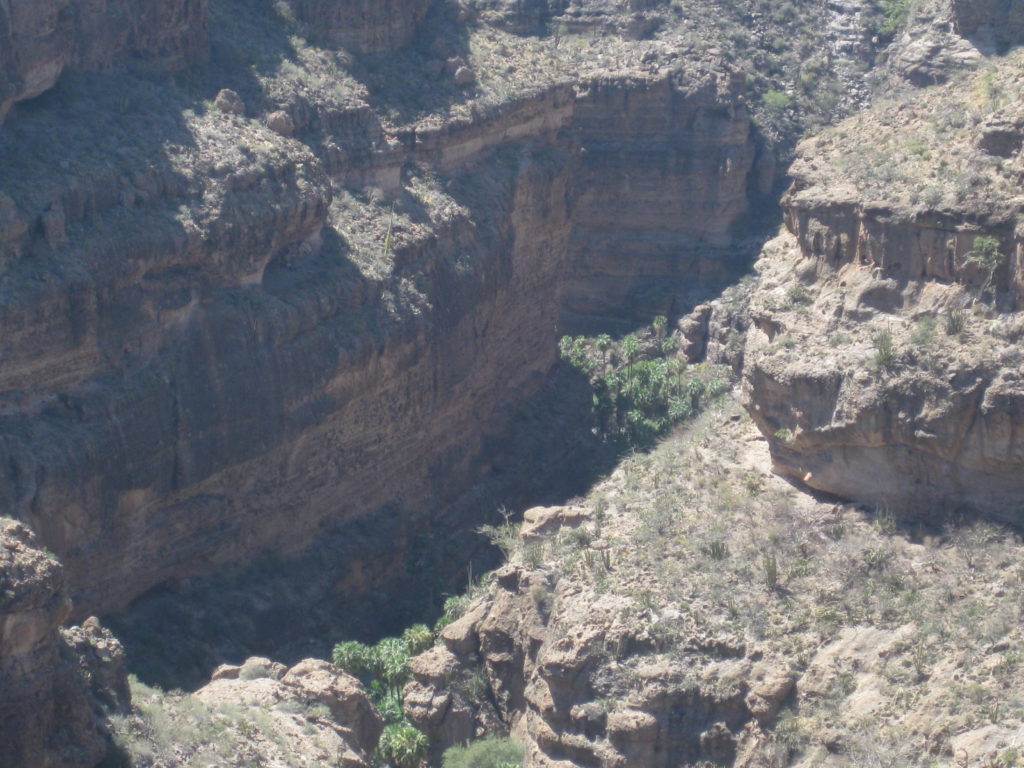
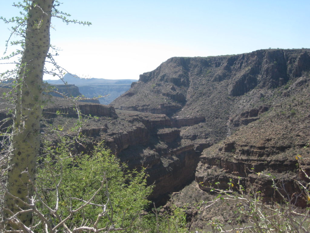
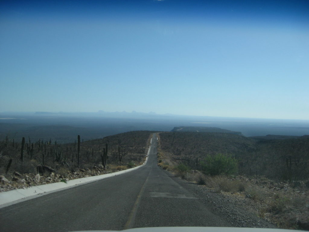
With a goal of getting as many roads and interesting sites documented, I made the run up to San Francisco de la Sierra, before resting for the day.
The paved road up the mountain is at Km. 117+, about 17 miles south of Vizcaíno, on Hwy. 1. It was about 3:30 when I headed up. In just 0.5 mi the old main road between Ensenada and La Paz is crossed. It has a gate across it to the north. A farm (El Porvenir) is on the south side.
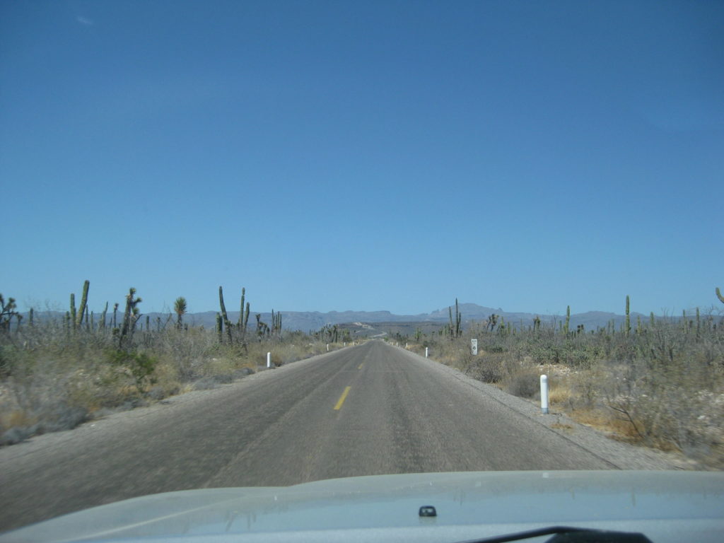
The pavement comes to an end after Km. 29, 18.3 miles from Hwy. 1. There are still 4.3 miles to the village.. and they are slow, scary for some, miles. The paving has since been extended into the village.

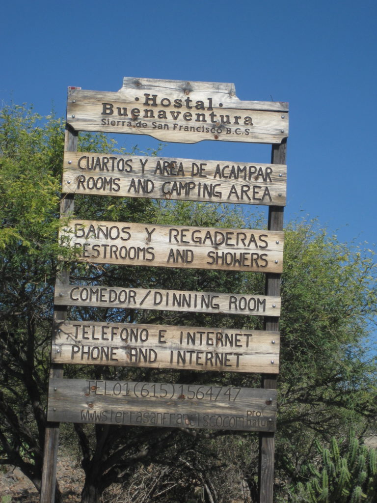
‘Hostal Buenaventura’:
I choose to take a break from camping and go to maybe the next best comfort and value motel, after Baja Cactus, the La Huerta, in San Ignacio.
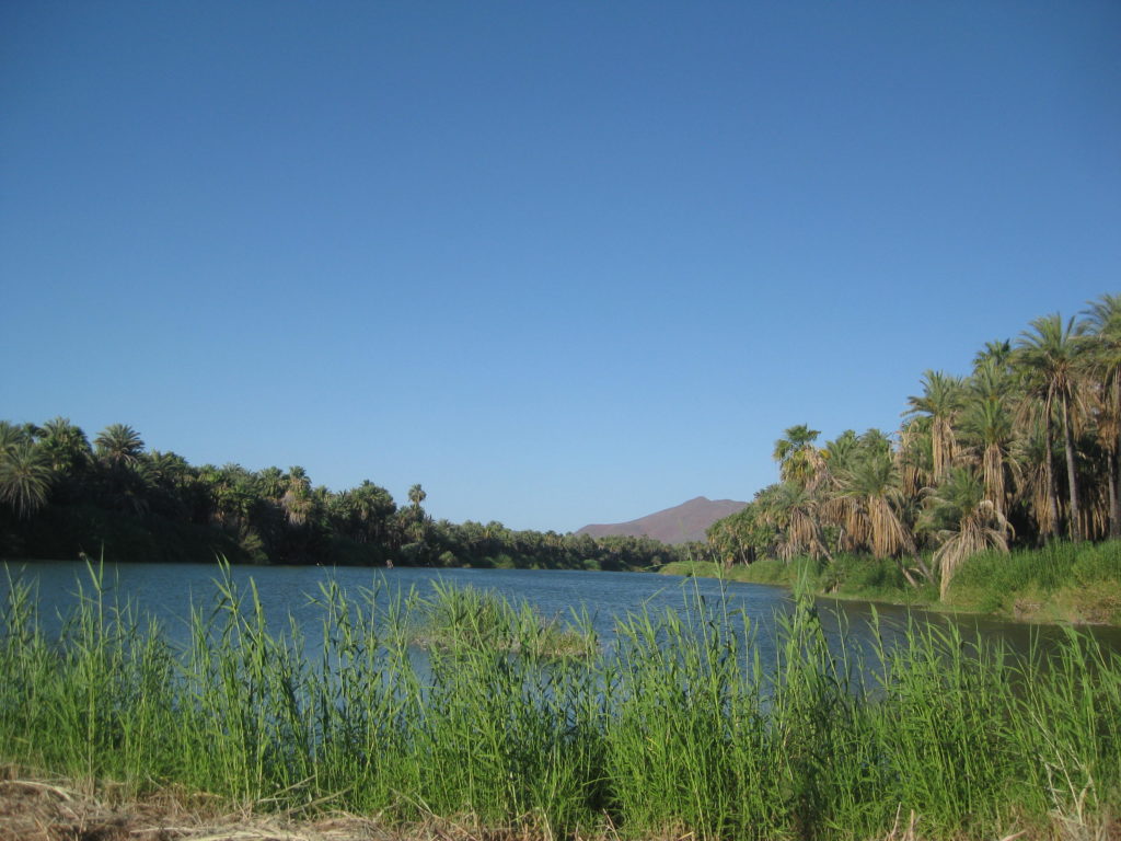
The river crossing between Highway 1 and San Ignacio’s plaza is one that always makes one feel calm and relaxed. The motel had just one single room left, it was next to the office, but I did not hear any noise at all. The cost was US$39.
While there is a nice restaurant on the hotel grounds, as well as a market, I opted to walk the block to the town plaza facing the mission. Victor’s was closed (I learned he had passed away) but I spotted a taco stand at the opposite corner of the plaza, operated for 30 years by Agustín. Only carne asada tacos here. I ordered two… and two more… they were incredible! The meat was tender, tasty, and a real winner. 4 tacos, with a coke, 107 pesos (=$6.01).
Good Wi-Fi and the Internet so I could check emails and forums. I had a great night’s sleep.
END of DAY 3, with 4 to go!
MAPS:
DAY 4 (Mon. June 5, 2017) San Ignacio to Bahía Asunción
Had a very good night’s sleep at the La Huerta hotel (motel), and the Mountain Time Zone change didn’t bother me too badly. I was on the road before 8 am. Leaving, I noticed a new RV Park next to Ignacio Springs Bed & Breakfast. If it isn’t new, I did not see any signage when I was here a few months ago. Called ‘Don Chon’ and it’s right on the river.
I topped my gas tank at the San Ignacio Pemex: 350 pesos for 21.35 liters (@16.40/liter) for the 96 miles since Vizcaino fill up. The tank was just under 3/4 full but I was heading out the Vizcaino peninsula next and you never know if a key supply point will be closed.
Some kilometer notes (the numbers are from Santa Rosalia and increase northbound, 1 km. = 0.62 mile)
San Ignacio entrance is at Km. 73 (just east of the Pemex station)
Rice & Beans (restaurant & motel) is at Km. 74
Military Checkpoint is at Km. 77
Airport road is at Km. 78
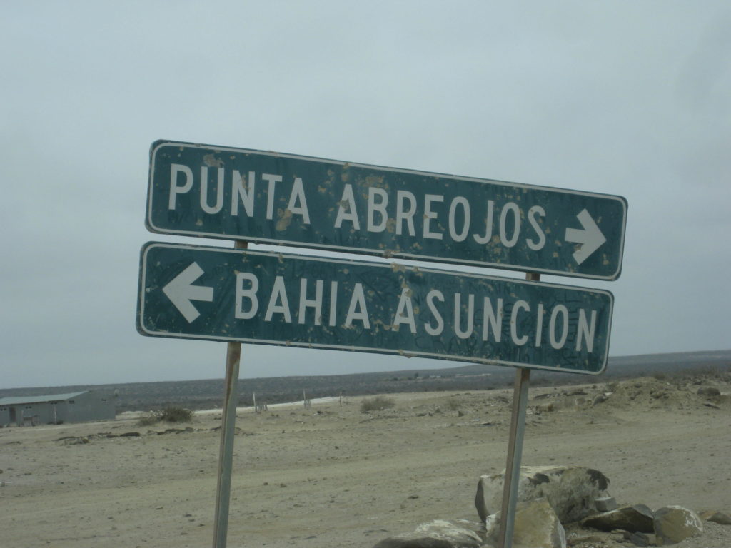
Punta Abreojos Highway is at Km. 97+
The fastest way to Bahía Asunción is to go to Vizcaino and take the all paved route west from there (Km. 143.5). The Abreojos route is an alternate for those who want to see the remote coast region and other fishing towns. I was just on the road last September (2016).
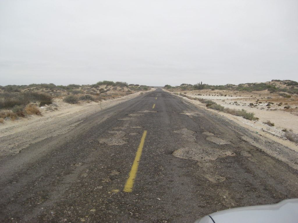
The highway between Mexico #1 and Punta Abreojos is 84 kilometers (52 miles). The first half (~25 miles) was in bad condition with many deep holes and sections of missing blacktop. It was this way 9 months ago when I was last over it, so nothing much done in all that time. Signs from the government announced it is being fixed and I actually saw about a half mile of new road work started but no equipment in sight. The second half is fine. [Within a few months, the road was all repaved]
Km. 0 Hwy. 1 (Km. 97+) Restaurant Crucero del Pacifico at the junction.
Km. 1 (0.6 mi) Old main road to La Paz (original Baja 1000 road) is crossed.
Km. 43+ Rancho Santa Clara road west.
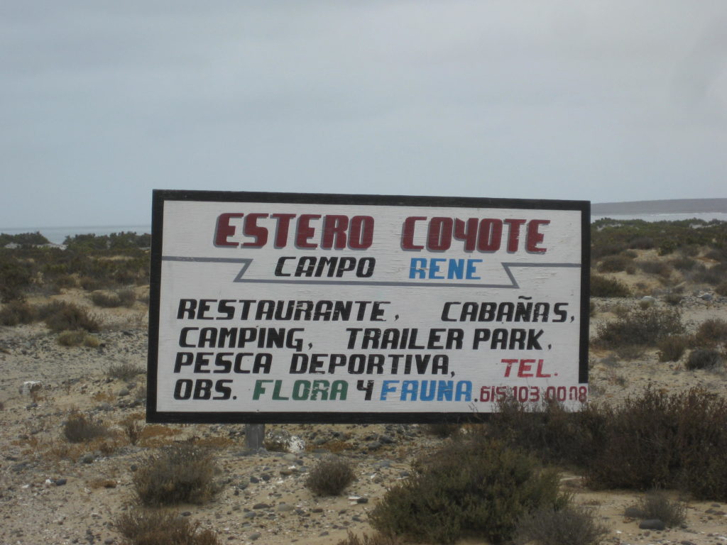
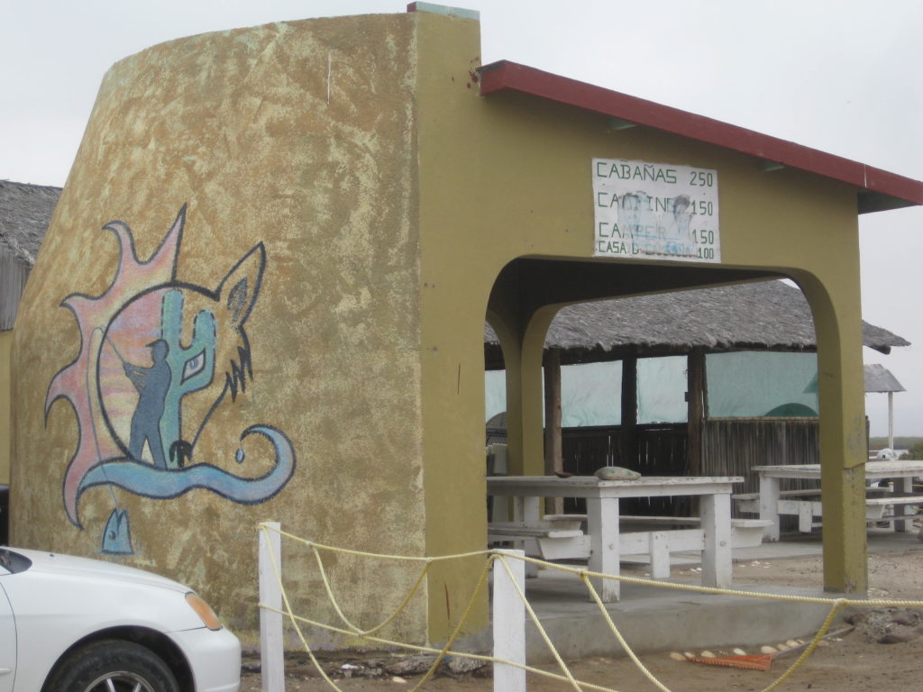
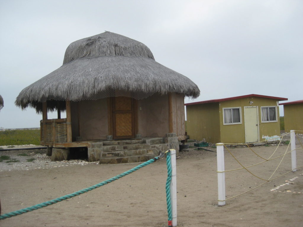
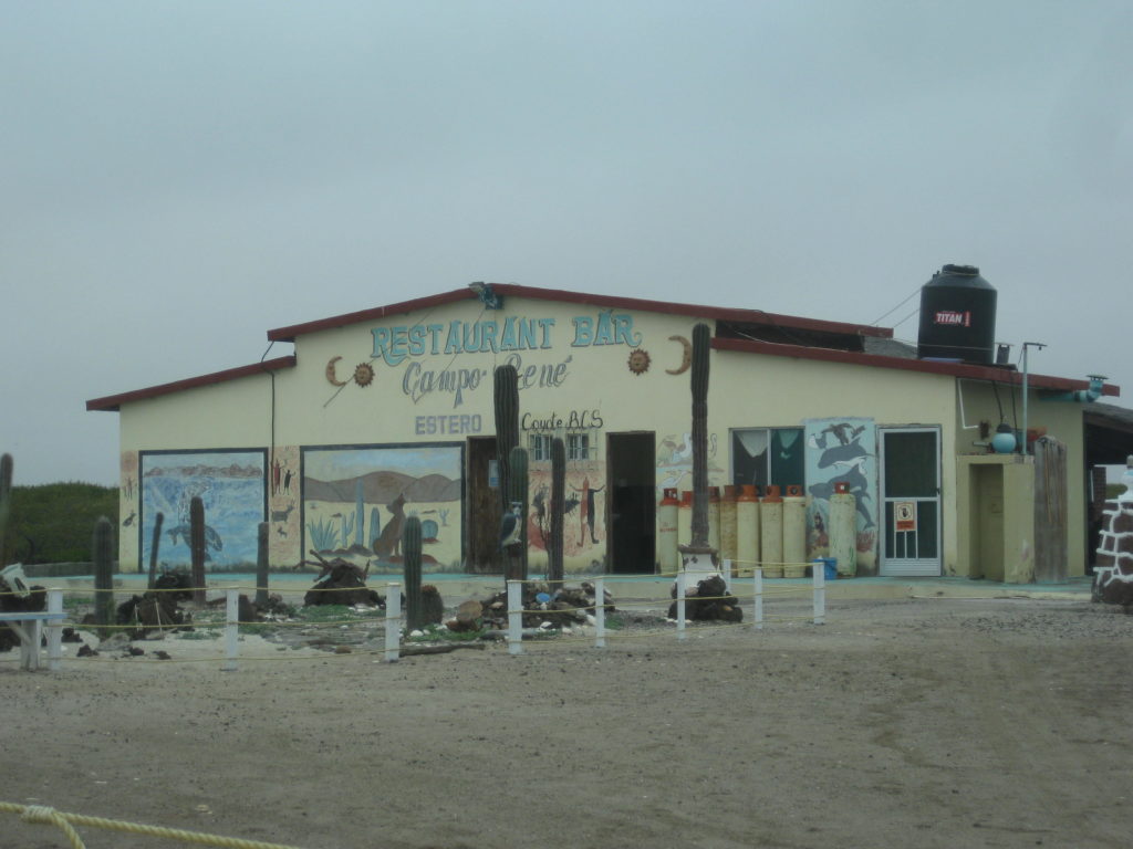
Km. 73.5 Campo Rene signed road (2.5 mi in).
Km. 75 Another road to Campo Rene joins the previous.
Km. 84+ End of pavement, Punta Abreojos entrance.
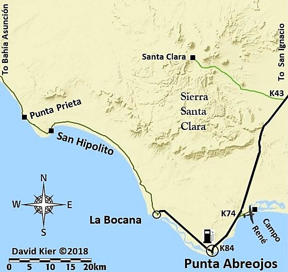
Pemex station, car wash, and tire dealer are 1/4 mi ahead, on the right.
The end of the road straight across town ends a mile further near the lighthouse. The popular salt flat road to La Bocana and Bahía Asunción is reached by turning right just past the school on Juan de Barrera street or the next street to the right.
Set odometer to 0.0 here.
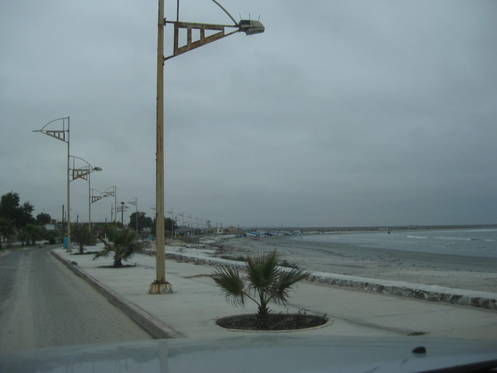
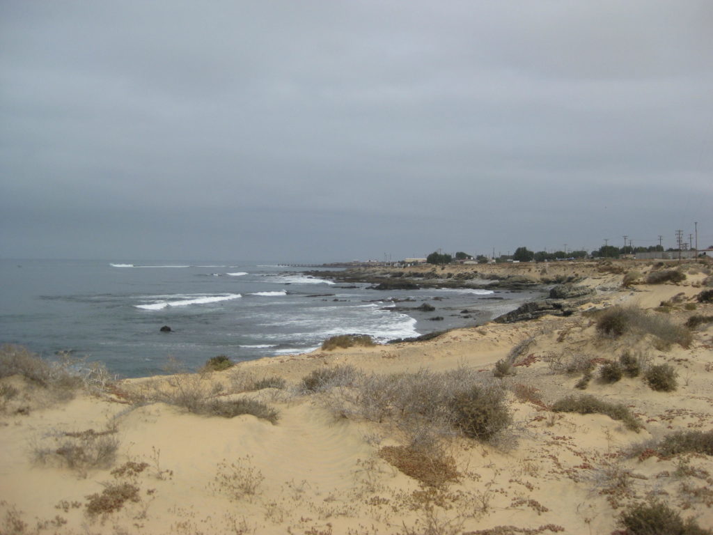
Easy driving (today) on the salt flat, parallel to the big lagoon of La Bocana.
7.5 a beach on the lagoon
8.2 The salt flat road merges with the graded dirt road (which follows the power poles between towns). [The graded road was paved in 2019]
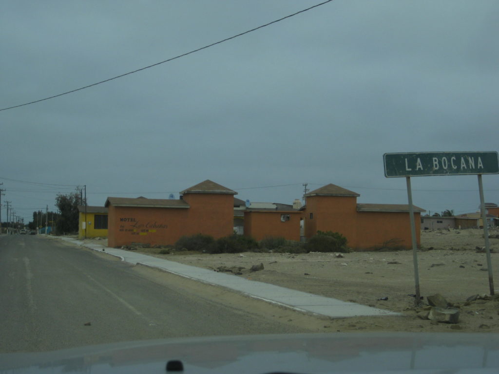
10.5 La Bocana town entrance. Motel Las Cabañas (closed) and signs for Blanca and Les’ hotel on the opposite side of town.
Reset odometer to 0.0.
22.0 Fork (left to stay near the coast)
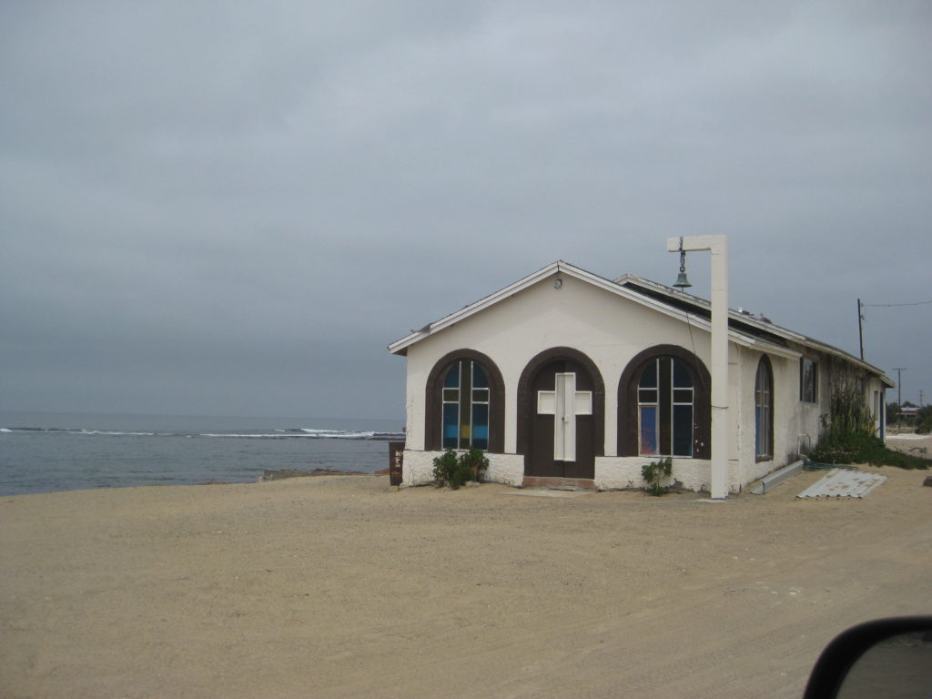
24.4 San Hipolito, small fishing town.
29.4 Punta Prieta, another small town.
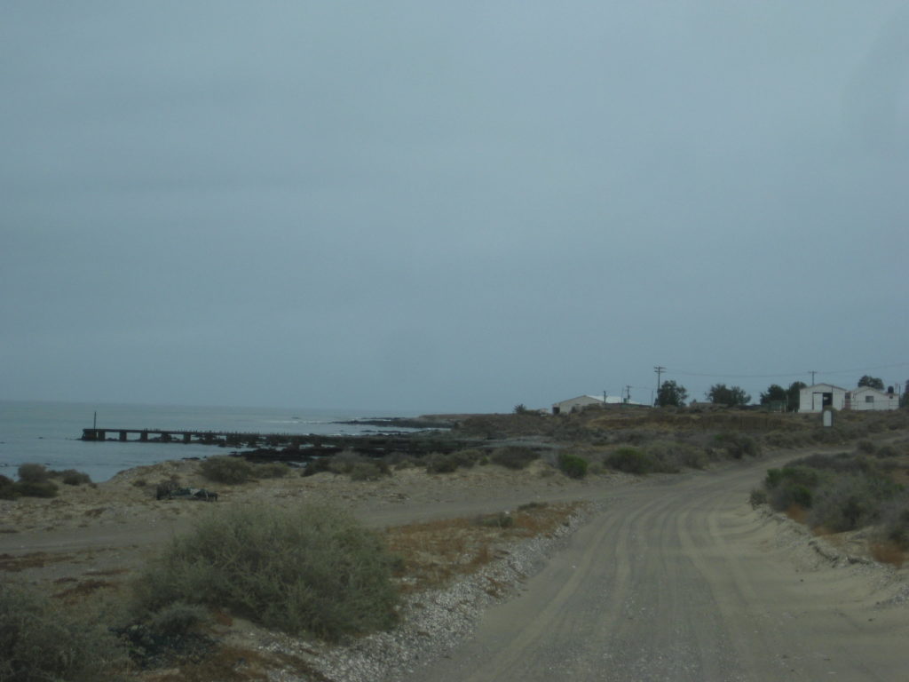
An old man was standing by the road with two net bags seeking a ride to Asunción. As it may be hours or days before another comes along, I made room for him in the truck (he began to head for the back/bed). His name was Eligio and he was from Sinaloa selling ‘natural’ vitamins from town to town. He had an honest and innocent face so I was not worried.
47.3 (17.9 from Punta Prieta) is the paved Bahía Asunción highway, 5 kms. east of town.
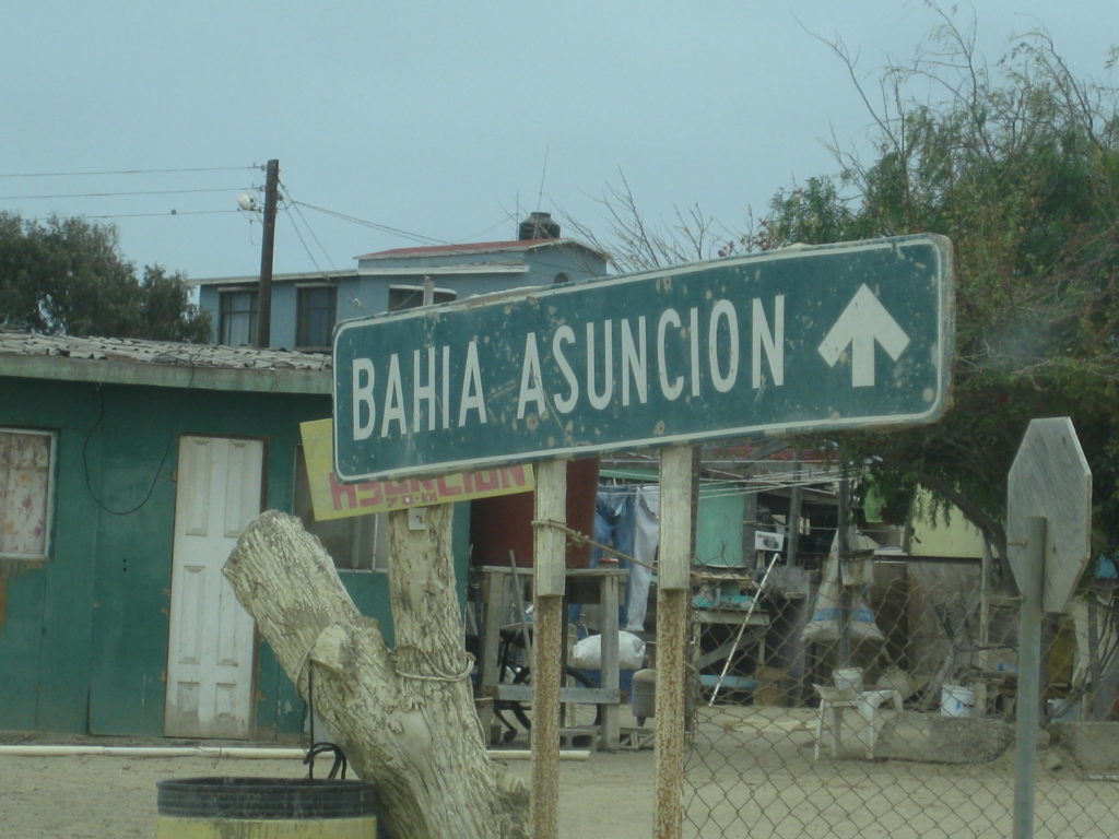
50.4 Entrance of Bahía Asunción. Pemex just ahead, on the left.
500 pesos for 30.49 liters for the ~135 miles driving from San Ignacio.

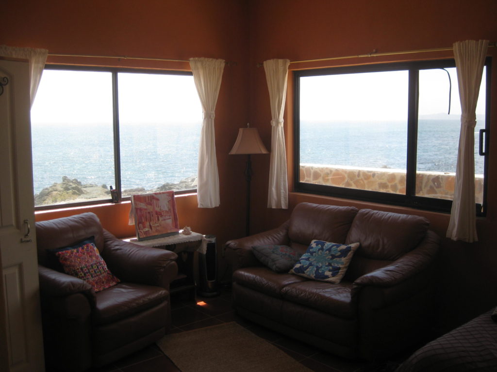
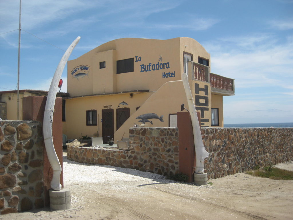
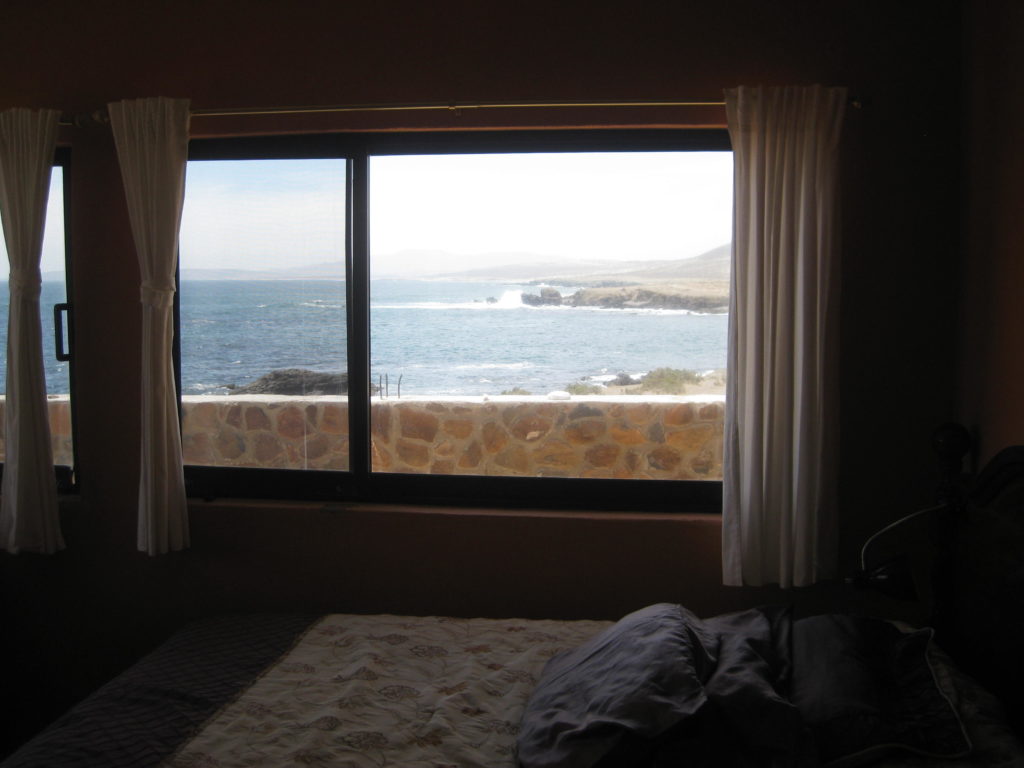
I head across town to Shari’s La Bufadora Inn.
Continues on next page…