TRIP #5:
Day 1 San Diego-Mission San Fernando, about 40 miles beyond El Rosario.
Day 2 San Fernando to near El Barril.
Day 3 El Barril to San Ignacio (via Mission Santa Gertrudis & San Francisco de la Sierra)
Day 4 San Ignacio to Bahía Asunción.
Day 5 Bahía Asunción to Bahía Tortugas + and back to Asunción.
Day 6 Asunción to El Rosario
Day 7 El Rosario-San Diego via Tecate
DAY 1 (FRI Jun. 2, 2017):
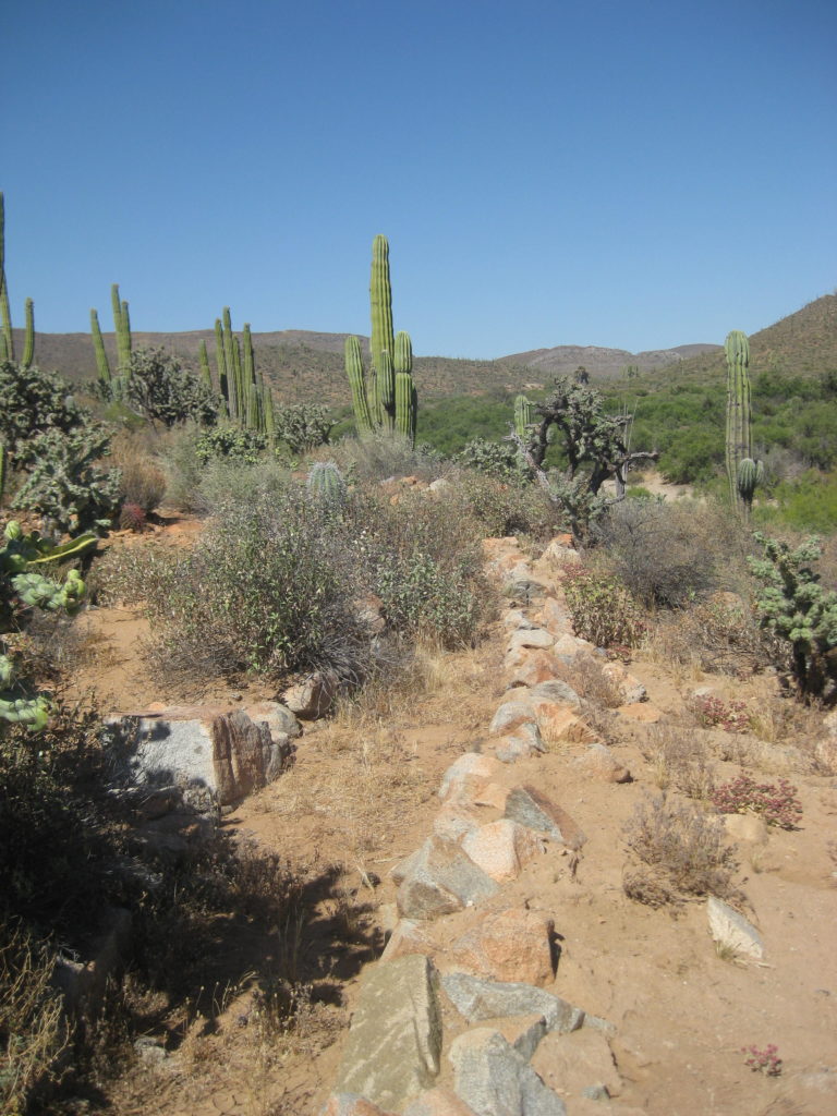
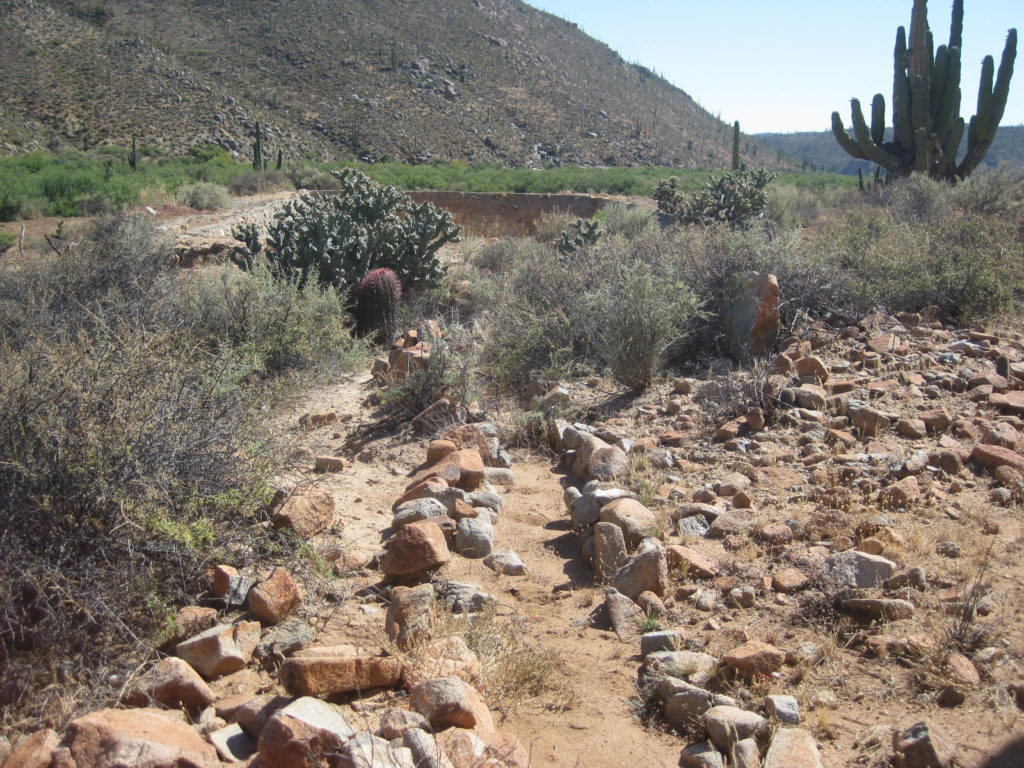
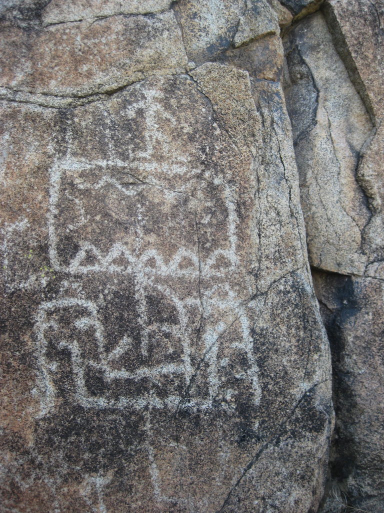
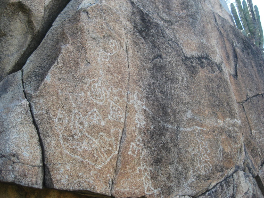
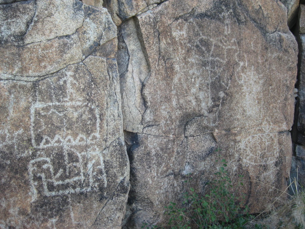
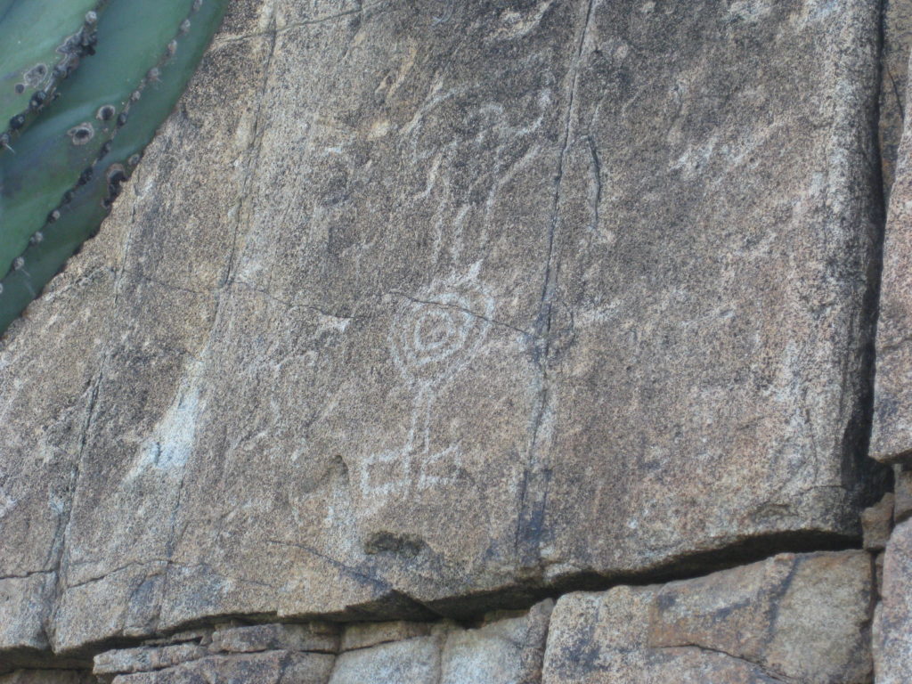
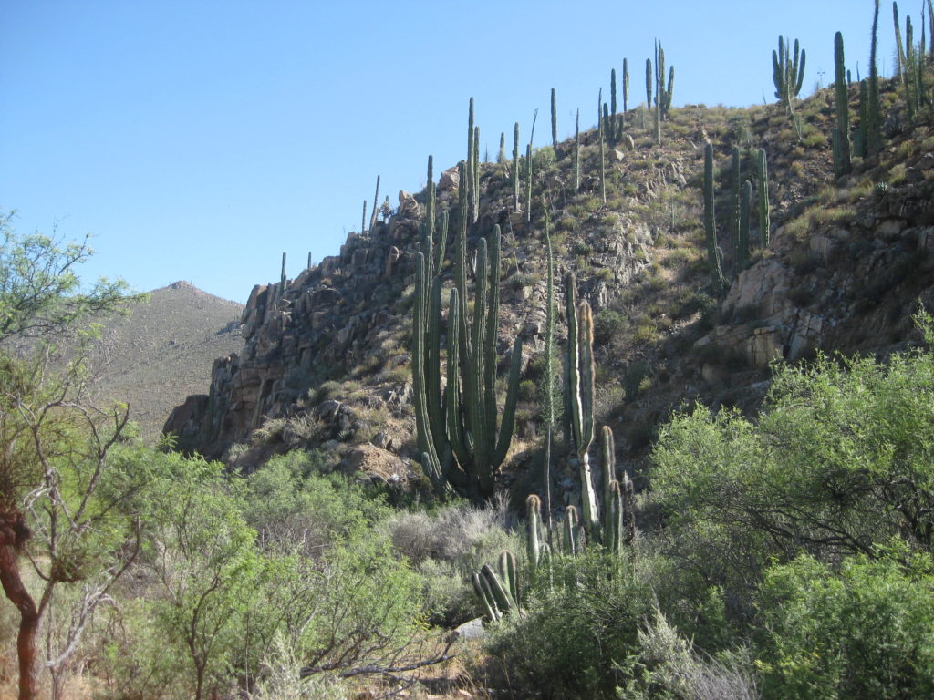
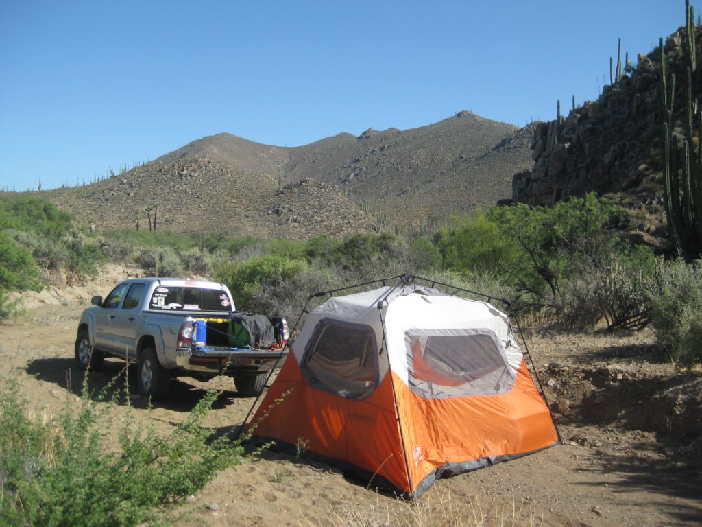
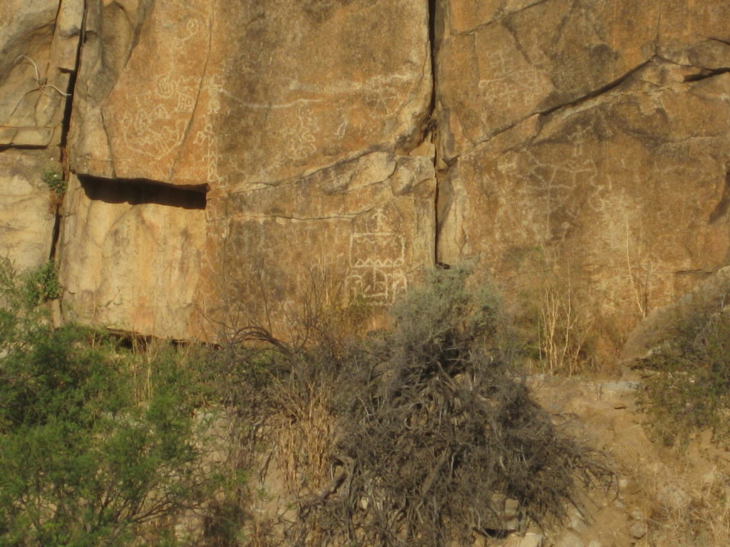
My fifth research trip for the Baja Bound Map/Guide ran from June 2-June 8. I crossed south at Tijuana and drove to Mission San Fernando where I camped near the petroglyphs, on the cliff, west of the mission.
At San Ysidro, I converted dollars to pesos and the rate was 17.80 pesos: dollar. The border was a bit of a mess as the left lane had to merge into others at the final curve near the crossing.
The three tolls to Ensenada were (in dollars) 1.80, 1.80, 1.95.
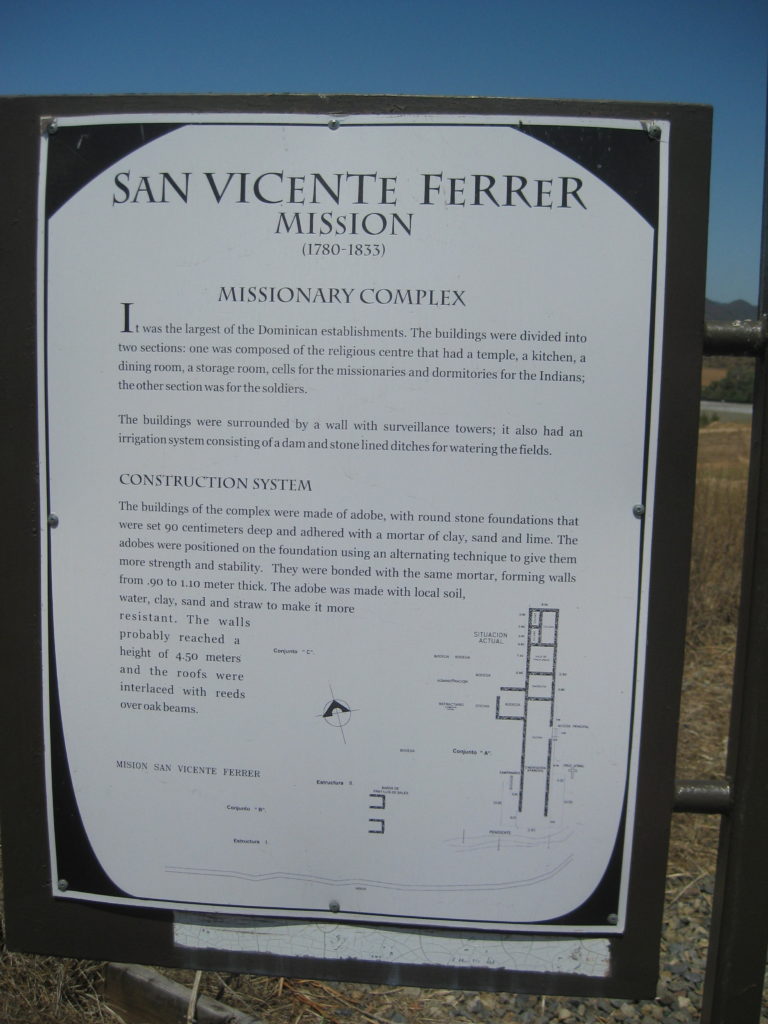
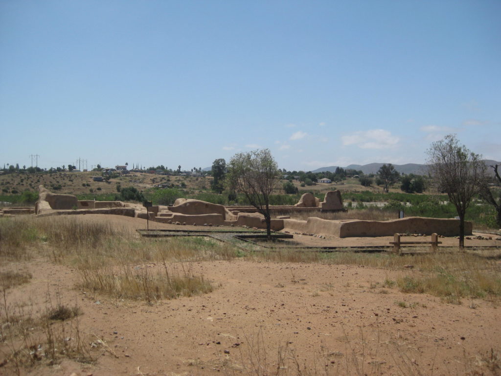
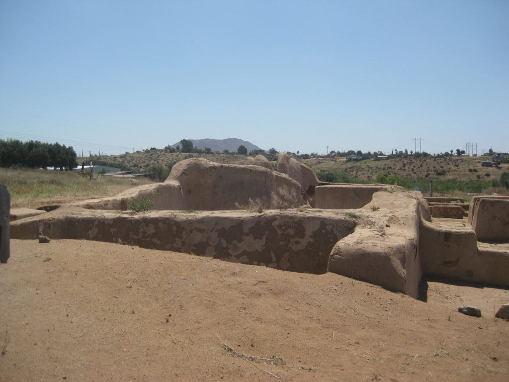
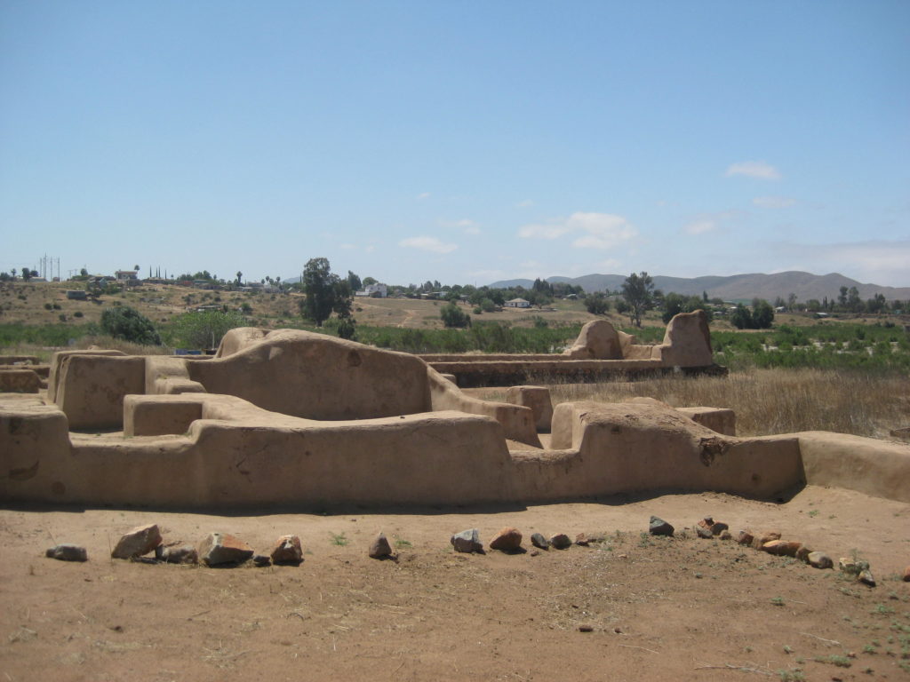
On the way south, at Km. 88.5 south of Ensenada, I popped over to see if the gate for Mission San Vicente (1780) was open (it had been closed on previous trips since my last time on the site in 2000 or flying over by helicopter in 2014). It was open, and the caretaker (Samuel) was there at the museum, just one kilometer from the highway. I took several photos to document the site.
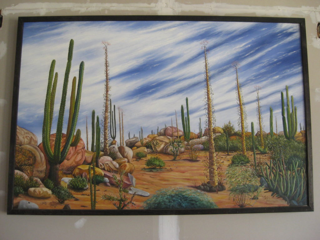
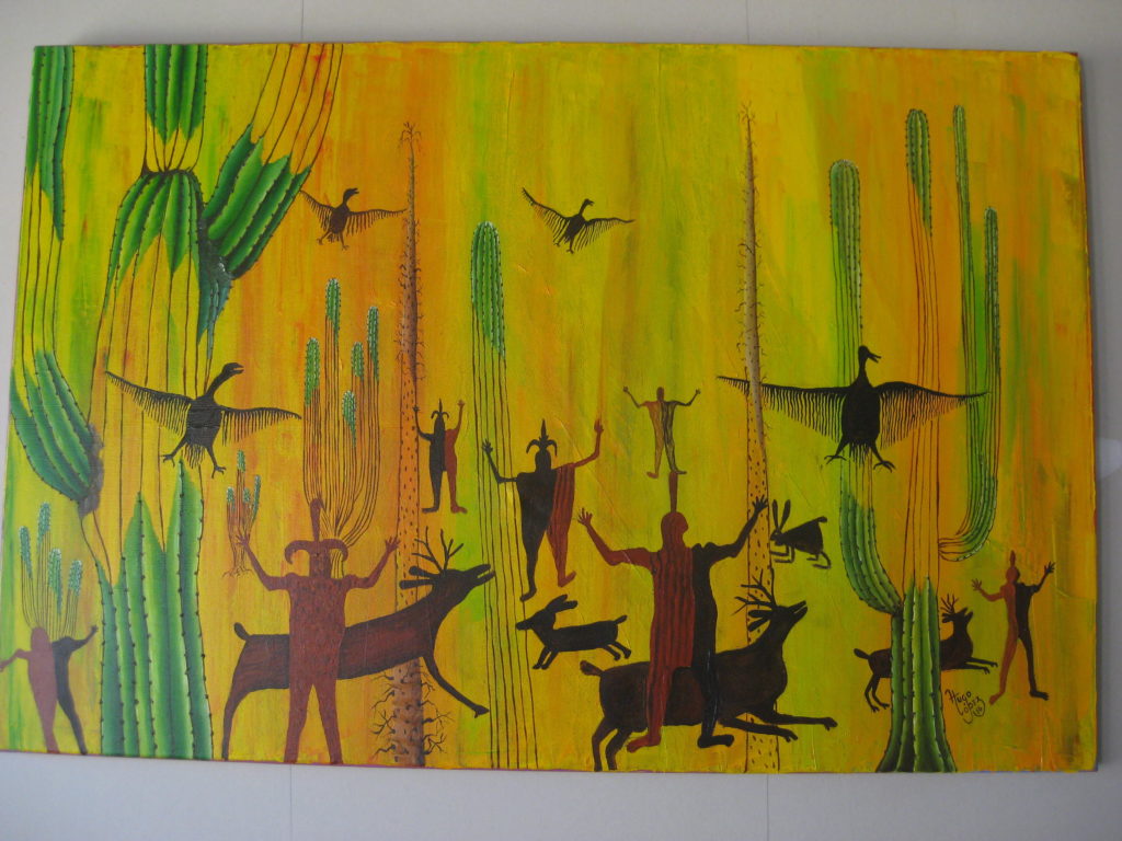
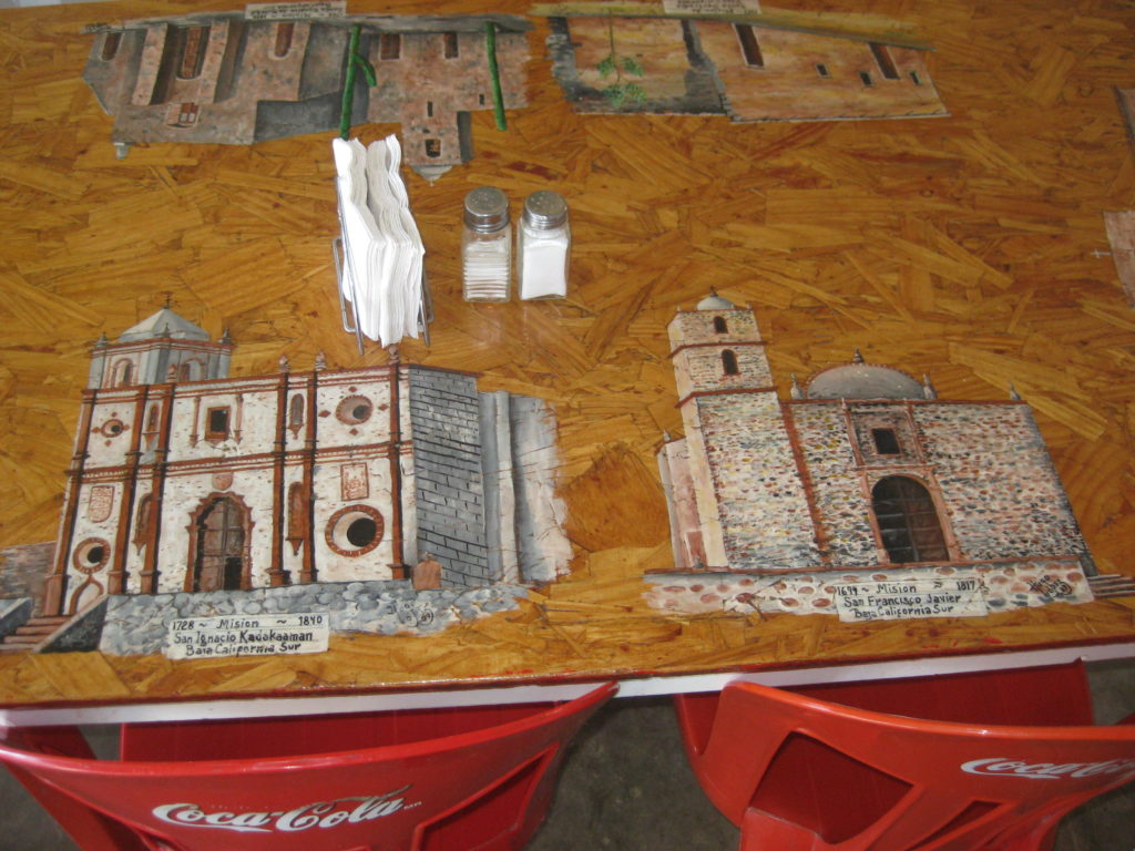
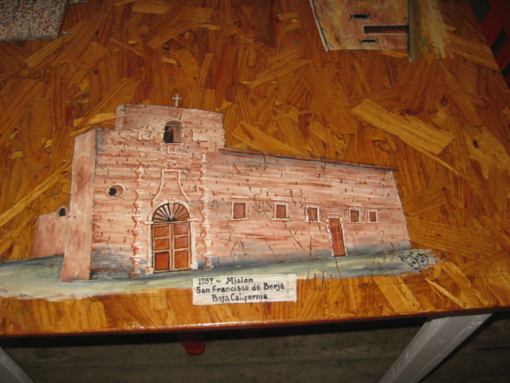
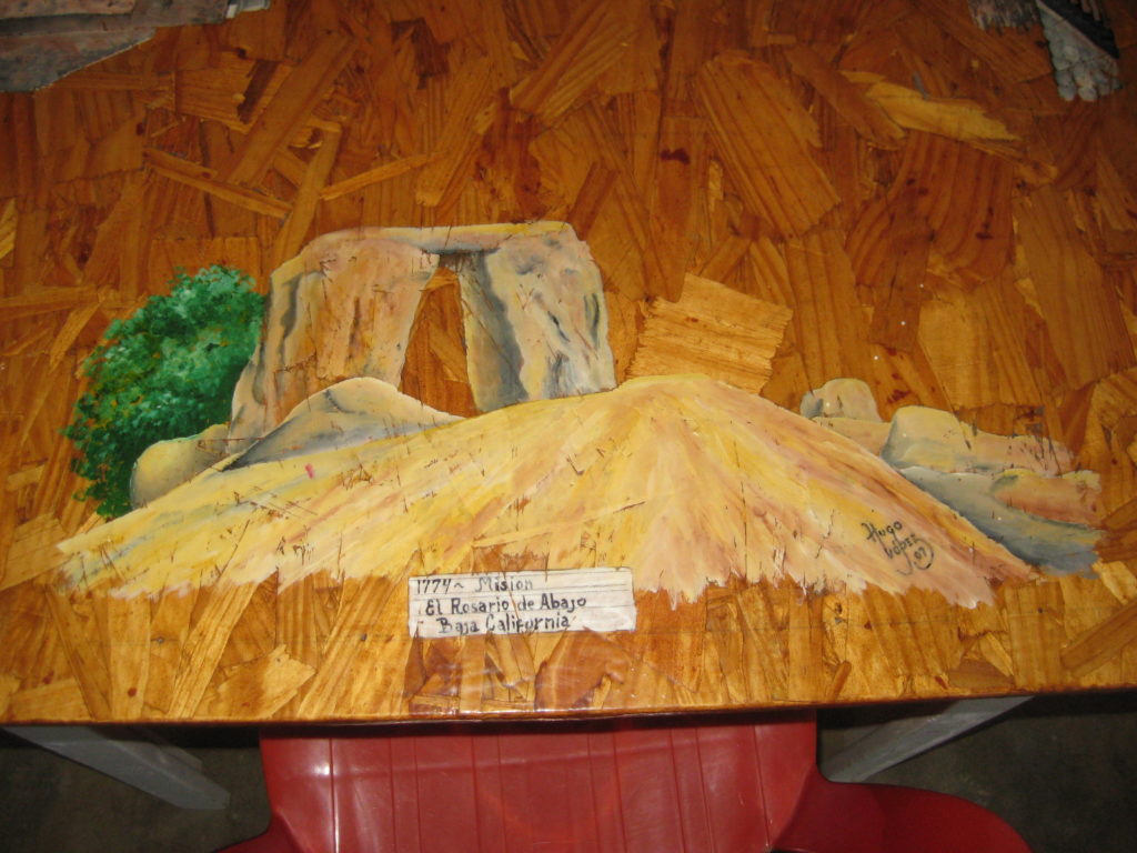
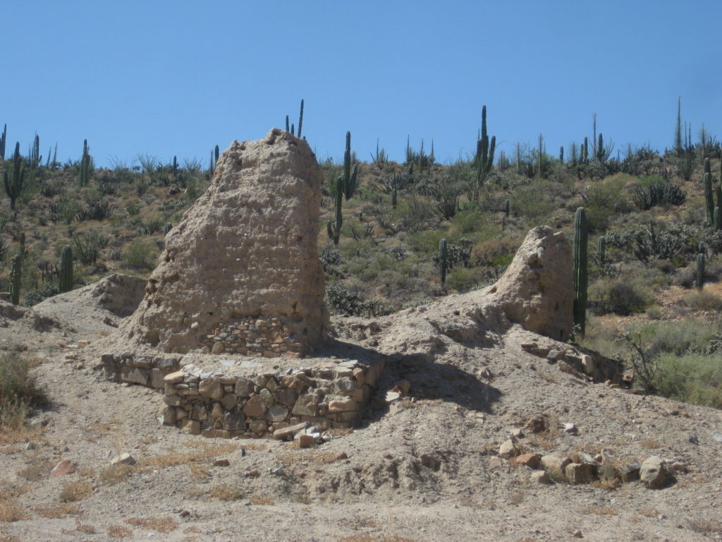
At El Rosario, I filled up the tank (16.02 pesos/liter) and my Tacoma was getting 17.8 mpg for the 280 miles since my fill up near home. Antonio (‘BajaCactus’) was getting a newly acquired (for the Desert Hawks Rescue Service) 4×4 Isuzu Trooper repaired and I did not see him this day. Isela (the hotel manager) told me where to look for him but I missed making contact. I did see that Hugo Lopez had rebuilt his ‘Tacos Misión’ restaurant (about Km. 59.5) was open. I had lunch there. Hugo has begun painting again! The first El Rosario mission (1774) is nearby, uphill from the highway on a concrete street, about Km. 58.5.
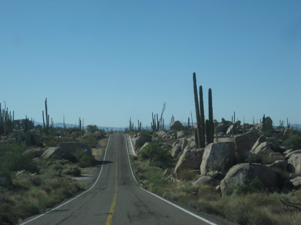
On south, the drive was easy, only a few holes in the highway (it gets worse further south). I take the old main Baja road shortcut to reach Mission San Fernando de Velicatá (1769). The old road is at Km. 118.5. It is easier to just go on to Km. 121+ at the abandoned El Progreso restaurant and go the 2.3 miles to the mission.
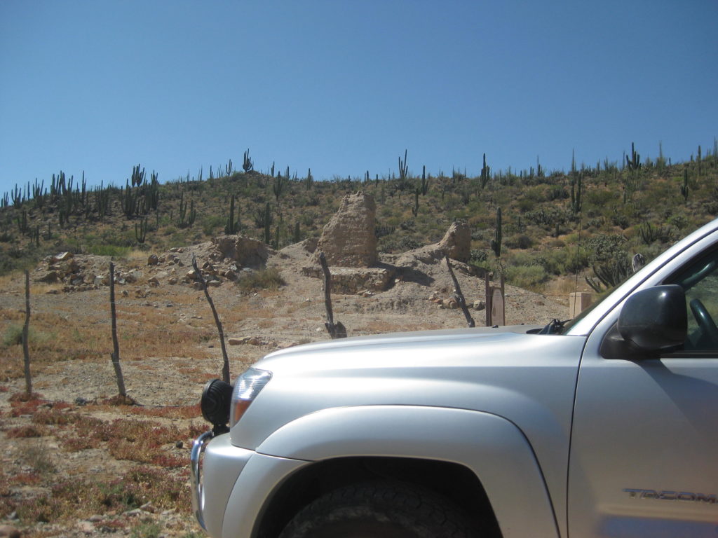
A cattle control gate now must be opened (and closed) 1.1 miles before the mission. No humans were beyond, but a family of cattle greeted me at my camp later! [A report in 2018 said this gate was being locked. In 2019, we hired Ed Lusk at the Baja’s Best Bed & Breakfast in El Rosario, to get us through the gate for the America Unearthed TV show]
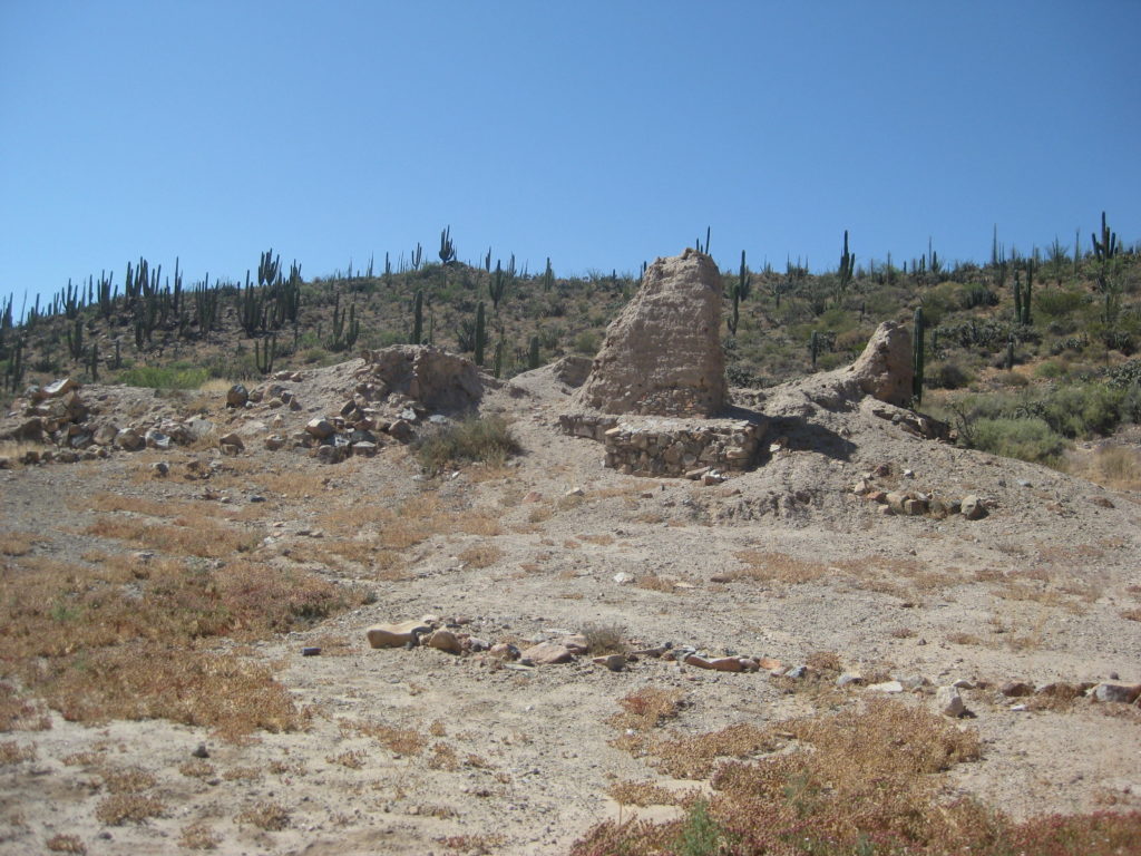
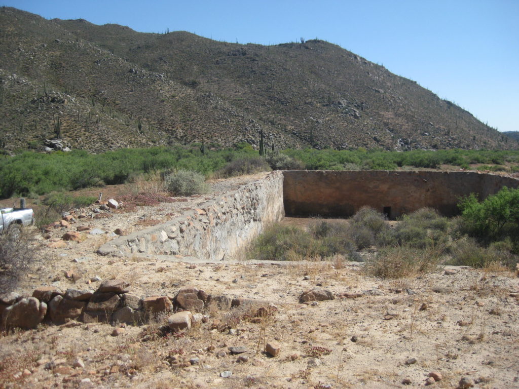
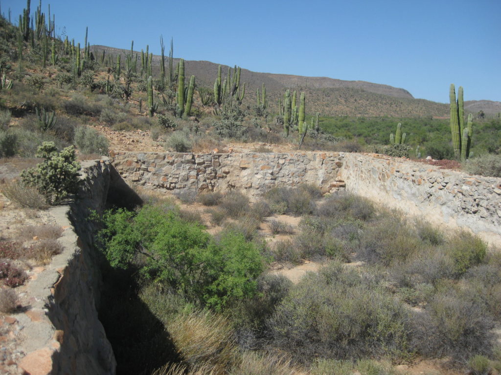
I also went past the cliff to see the pila (reservoir, made for the mission) and an abandoned ranch, just past. Of all the times I have visited the petroglyphs here (1974, 1975, 2000, 2003, 2005), I have never gone beyond to see the reservoir.
Mission San Vicente Ferrer, Km. 88.5:
Hugo Lopez’ paintings and table top art at Tacos Misión, in El Rosario at Km. 59.5:

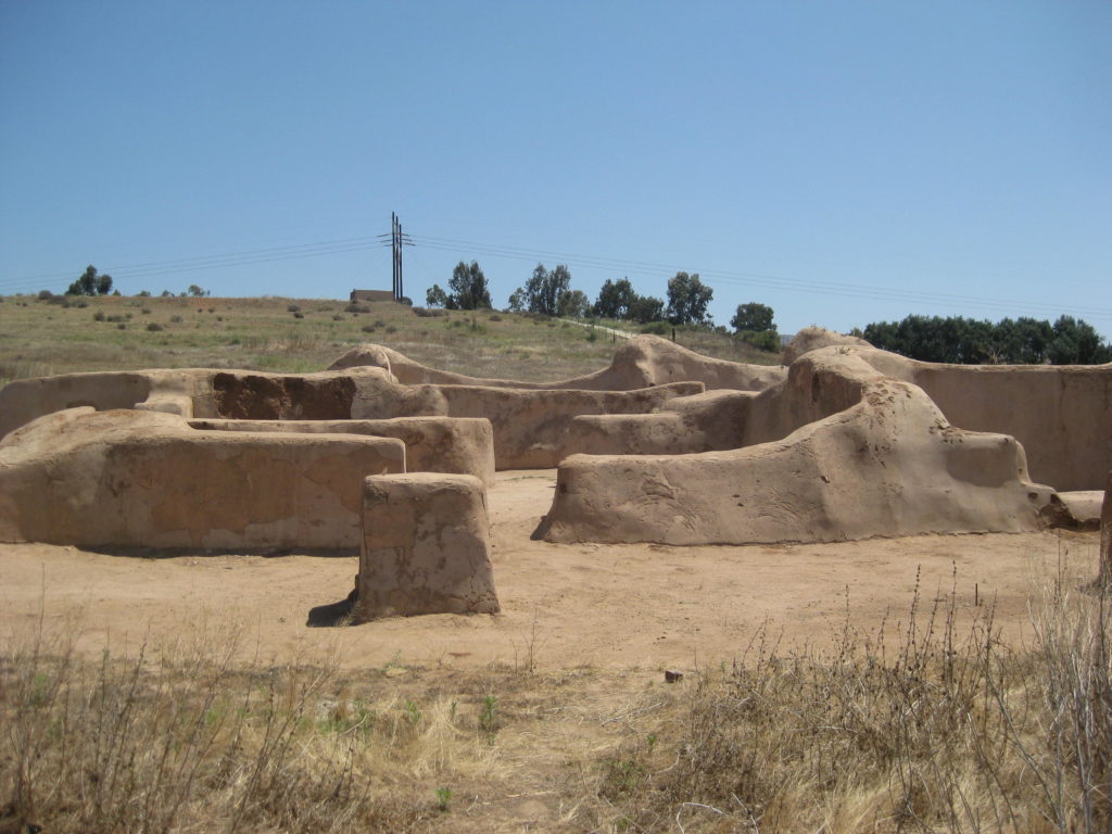
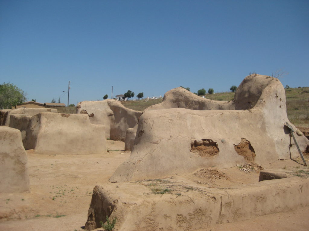
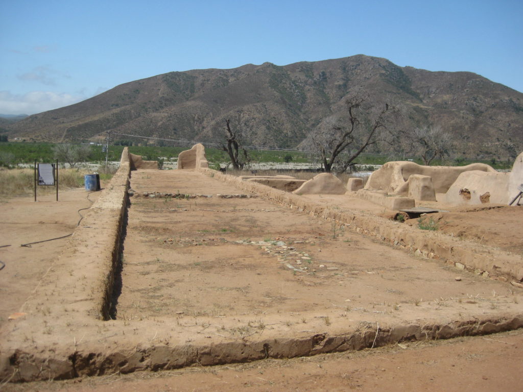
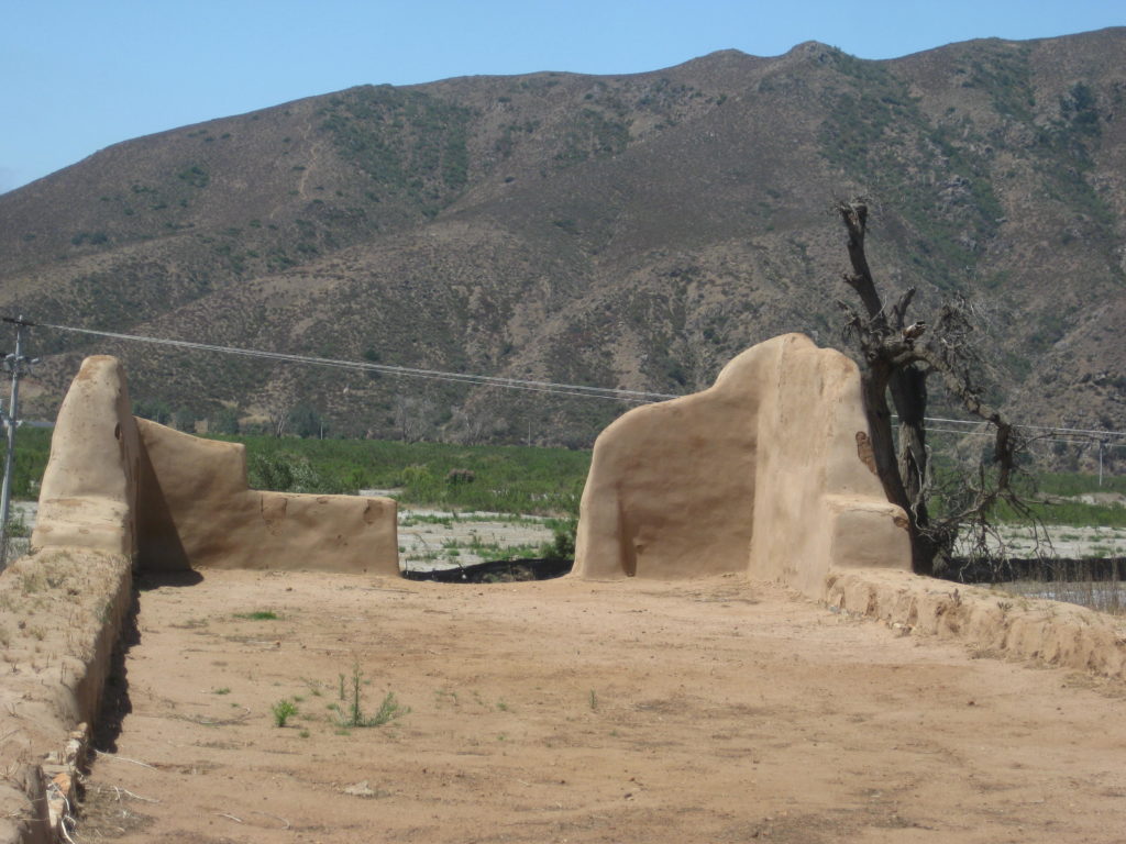
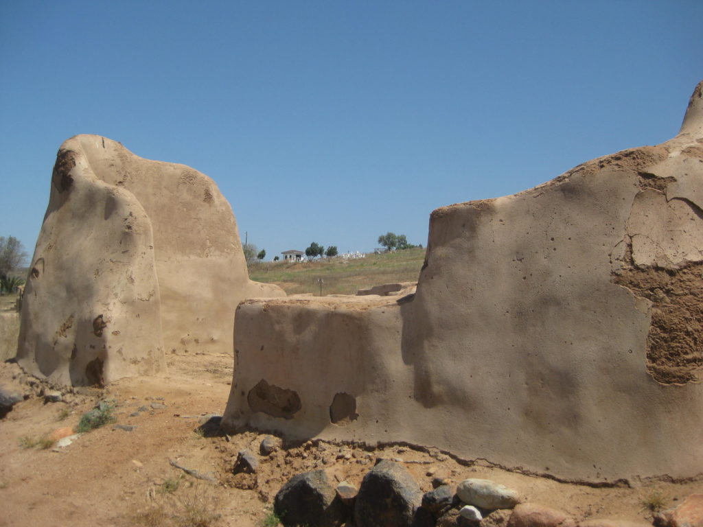
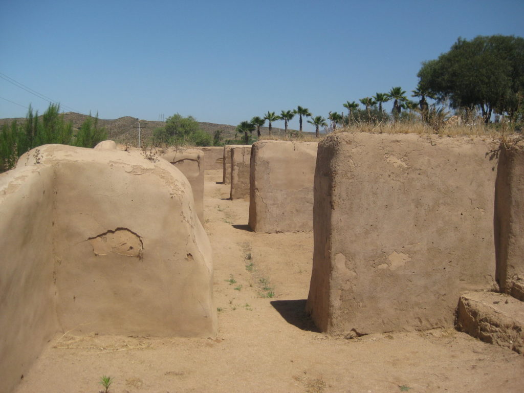
Mission San Fernando de Velicatá, pila (reservoir), & petroglyphs:
Day 1 Maps:

Day 2 (SAT Jun. 3, 2017):
I had a very nice, quiet sleep… once the cattle moved on. Just as it was getting dark, a bull with his cows and several young calves came to munch on the shrubs by my tent.
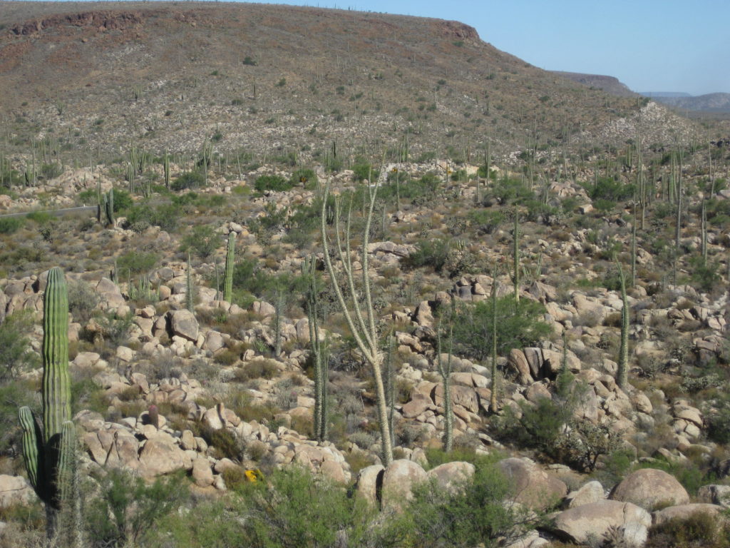
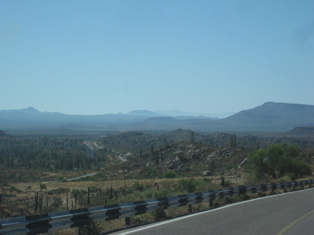
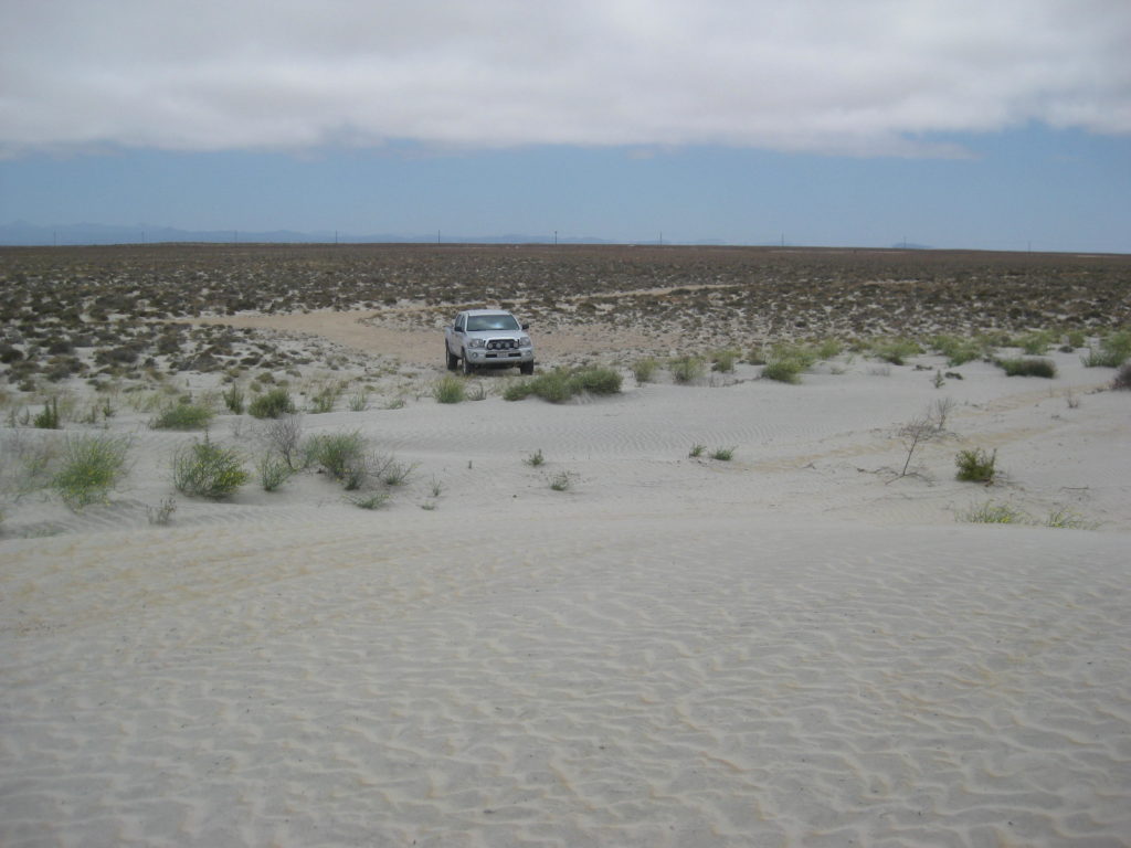
I had an easy drive south to Guerrero Negro. The highway has a few holes south of El Progreso becoming more numerous nearing Cataviña, but not as terrible as in the past. You can see a lot of patch work. Where it got really annoying was south of Laguna Chapala and very bad the final few miles before the L.A. Bay Junction. South of there, it was pretty good sailing with a few holes until south of Villa Jesus María where more pot holes awaited. Once across the state border, no more holes in the highway that I noticed… until taking the road to Punta Abreojos (more on that later).
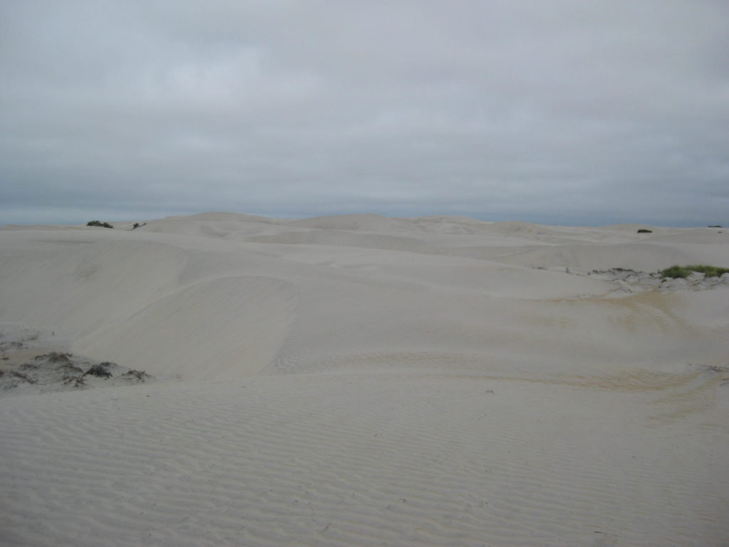
I took a side trip west of the highway to the Sarafan Sand Dunes (this was the name that Jim Hunter gave them in his 1977 book, Offbeat Baja). The edge of the dunes is just 1/2 mile from the highway at Km. 121.5. A road just north, I took first, crosses the dunes and heads across the flatlands to the south shore of Laguna Manuela.
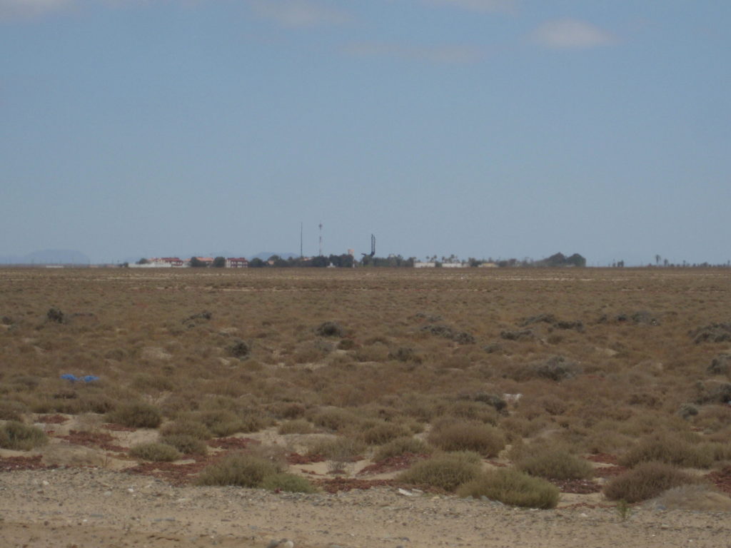
With all the chatter about the ‘other way’ into Guerrero Negro, I had to see it for the first time. The road goes around the west end of the Guerrero Negro airport runway, beginning at Km. 124.5 as the paved airport road. Beyond the airport entrance (all military looking) the road becomes a wide, graded road. When my GPS indicated I was at 28° latitude (the state border), I took a photo. South of here is in the Mountain Time Zone, I lose one hour.
I saw a car with the hood open out on a dirt road just east and a man was walking towards me from it; a young guy whose battery was dead. Why he was there, north of town, with a bad battery is anyone’s guess. I jumped the battery and waited until he was on the wide road and heading south to town. Good karma for my taking the backroad into Guerrero Negro this day! He would be the first of three hombres I would assist on this trip.
The airport backroad comes into town near the bank and almost to the old harbor road. I drove through town and topped my gas tank there. Magna (regular) gas in Baja California Sur was 16.40 pesos per liter, which made the cost close to $3.50/gallon at the 17.80/dollar exchange (which is what I got at the border). Stations are giving 16.50-17.00 pesos per dollar south of Ensenada if you are using dollars… and that makes the cost as much as $3.76/gallon.
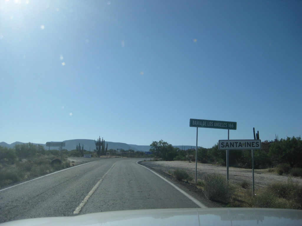
I headed for El Arco, drove back across the state border, and into the Pacific Time Zone where I get my hour back. The El Arco “highway” (Mexico #18) is at Km. 189 for southbound traffic and Km. 188.5 if northbound. This is a big Y junction, which was the style back in the 70s.
Once paved (in the mid-late 1970s), the asphalt is now gone, but the roadbed was quite good. This was not the case when I last drove this then a very road, in 1983. The pavement was all broken up and full of holes.
El Arco was a major gold mine center from the 1930s. It was also on the old main road between Tijuana and La Paz. Copper in quantity was discovered in the early 1970s and the town hoped for new prosperity. That copper mine plan was not developed (yet). There are some modular ‘homes’ up on the hill to the southeast of town. Perhaps they belonged to the new mine engineers?
In 1973, the Transpeninsular Highway was surveyed and built in central Baja. Poor old El Arco was bypassed in favor of new and expanding Guerrero Negro. Not to totally dismiss the little town, it got a paved highway off the new road. A major military base was located there, too.
The road is 25 miles from Highway 1 to El Arco. The road forks by the abandoned military base. The right fork is signed for Santa Gertrudis, it passes town church. The entire town, except for a ranch house, is now abandoned. The left fork passes the ranch and leaves town for Pozo Aleman, Piedra Blanca, El Barril and Punta San Francisquito.
I will take a break and post photos to this point…


Continues on next page…