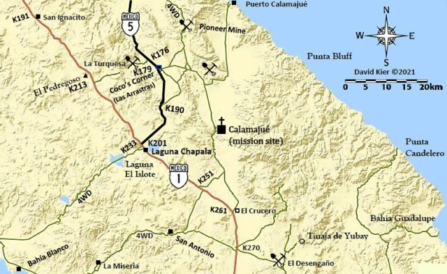
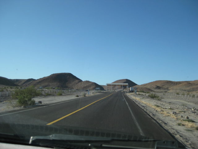
The junction with the new, paved Highway 5. It is 33 miles south of Cataviña, near Km. 233. From here, it is 22 kms. or 13.6 miles to Coco’s Corner, our next stop of the day.San Ignacito is ten kilometers south of Santa Ynez. San Ignacito is where the Highway 1 construction crews, working from opposite ends of the peninsula, met in September 1973. The highway was opened on December 1 of that year. In February 2020, Highway 5 was completed.Highway 5, from Puertecitos to Highway 1 (77 miles) was built from 2007 to 2020. The land was rugged and there were several delays in the middle of the grand effort. In 2018, a tropical storm washed out many bridges, as well. The highway makes easy driving of what once took up to 7 hours to drive.
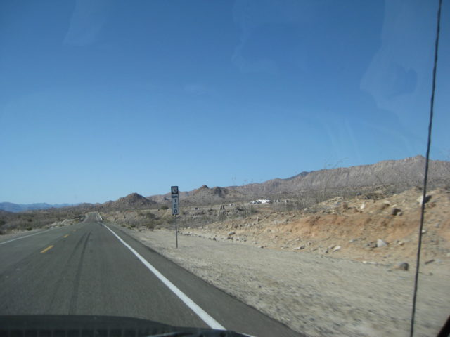
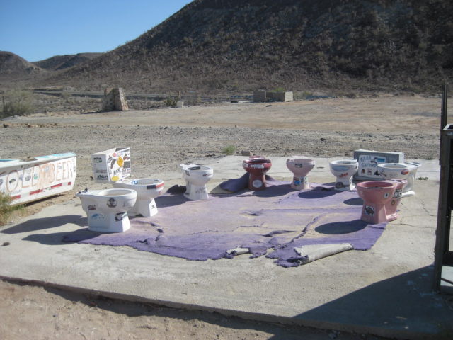
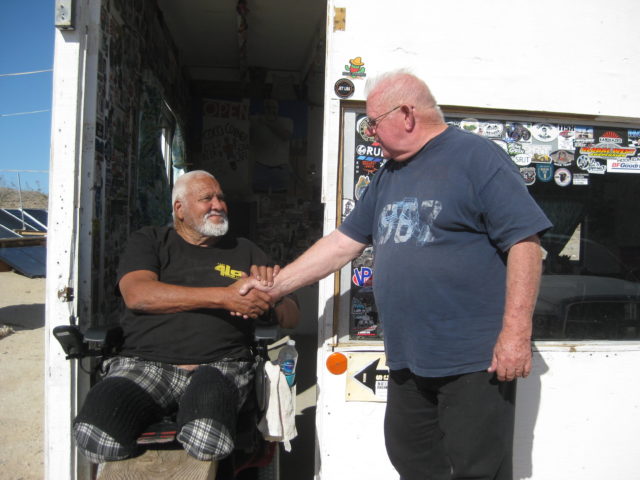
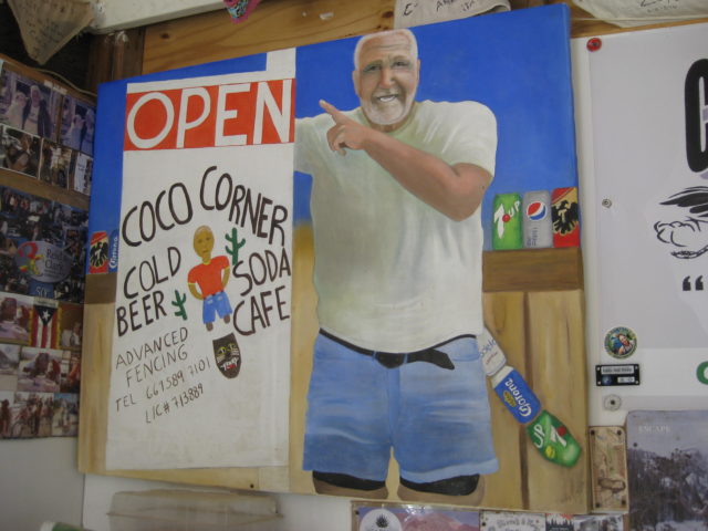
The Km. 180 marker and Coco’s Corner can be seen in the distance, over to the right. On the bridge just ahead, one can see the gold mill remains of Las Arrastras. Read more about this historic site: CLICK HEREThe outdoor ‘conference room’: Coco has a few jokes on display, at his corner!Nuevo (New) Coco’s Corner: Relocated here in April 2021 from 4 miles south on the older road.Coco needs no legs to welcome his guests. The electric wheelchair is a new addition since my last visit, at his first corner. [The larger than life Coco passed away, five months following our visit at age 85. Jorge Enrique Corral Sandez “Coco” Feb. 25, 1937 to Aug. 30, 2022. D.E.P/ R.I.P]Coco greets an old friend, Tom ‘TW’.Coco has very unique ceiling decorations.
Coco founded his original corner in 1987 at the junction of two dirt roads.Coco has many fans. The Baja 1000 has had a checkpoint here, as well. The 2021 Baja 1000 came right through here, just a few months ago.
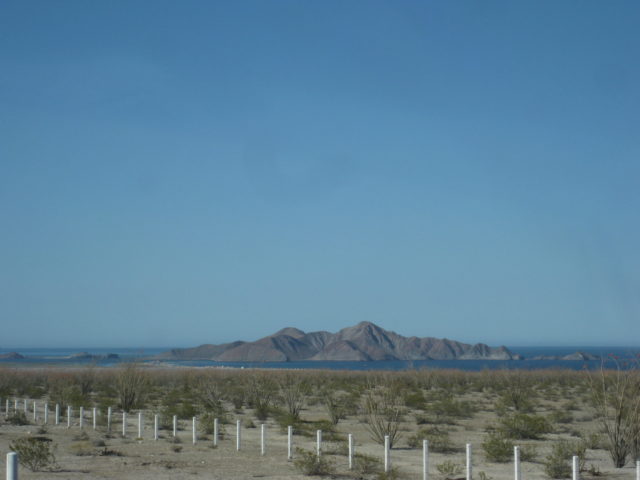
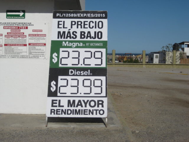
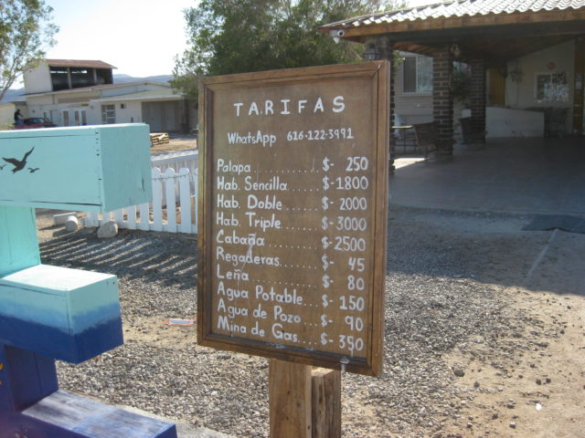
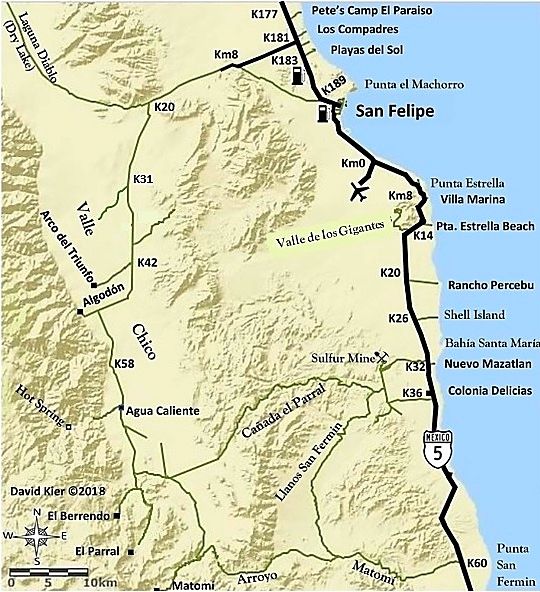
Bahía San Luis Gonzaga comes into view.The distance from Mission Santa María to Gonzaga Bay is only about ten miles, if you could fly!The Gonzaga Bay gas station is 18 miles from Coco’s Corner, at Km. 147. It is pretty remote and not a guaranteed source. Today, they were open for business. The Pemex signage was all painted over. I asked what was the deal and was told it is changing to ARCO. Maybe for better fuel deliveries?At less than a peso per liter higher than El Rosario, it is still the lowest price at Gonzaga Bay!The entrance to Alfonsina’s Resort (2 miles to the hotel, bar, and restaurant, past the private homes) is next to the gas station.Alongside the road to Alfonsina’s is the beautiful Rancho Grande airstrip. At 5,260 feet, it is long enough for most any plane.Across from the airstrip and gas station is the Rancho Grande Market.Rates for campers at their beach and other supplies.The Rancho Grande, Gonzaga Bay mascot.Km. 145 marker and the former military checkpoint. Today, the site was abandoned.The many islands offshore add to the beautiful scenery of a drive on Highway 5.We begin to see the Enchanted Islands.
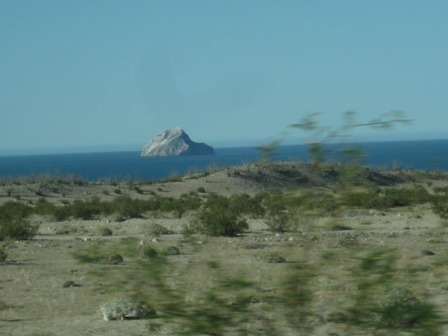
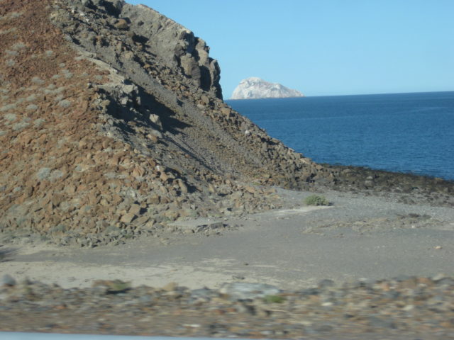
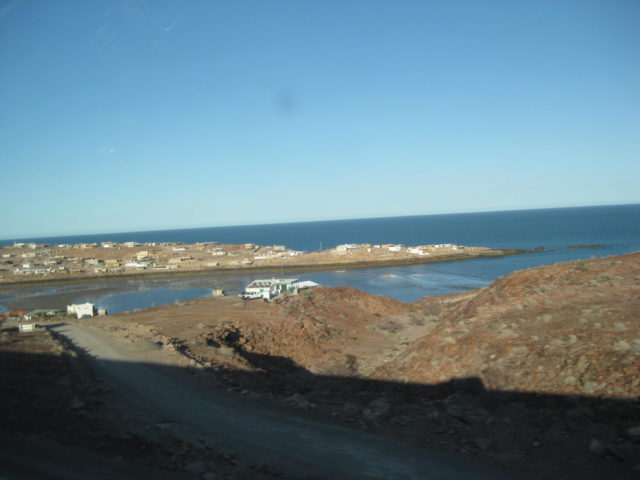
Isla Lobos in the distance and the site of Okie’s Landing, a popular fishing campo in the 1960s. Today, simply a spot at Km. 117.Isla el Muerto (Dead Man Island). Can you see why it is named that?Isla El Huerfanito (The little Orphan Island). It is just off the beach and separated from the other islands by some distance.Cerro Prieto, a volcano with a crater at its top.The village of Puertecitos, as seen from the highway.Vacation homes are around this cove that empties at low tide. Just over the point, to the right, are hot-sulfur springs in the tidal zone. Come when the tide is just below the highest point. Photos of the hot springs: https://vivabaja.com/p117/There is a gas station down there but has been closed for some time. Access Puertecitos on a paved side road, Km. 74.5.Getting closer to the ‘South Campos’ area with dozens of private home ‘campos.’ In one such campo is where Rudy has a home.This map names the camping campos (Pete’s Camp, Los Compadres, Playas del Sol, Villa Marina, Punta Estrella Beach, Rancho Percebu, and Nuevo Mazatlan) and not the others that are residential campos.Rudy’s home with a view. Phil is getting the bar-b-que ready for another great meal tonight.
Rudy tells Tom and I another story… but no more of his ‘bunda’! Thanks Debbie for this and the other photos!
THURSDAY
Thursday sunrise photo taken by Debbie.Neighbor Ron puts the right shock mount nut on Debbie’s Jeep as Rudy and Ed watch. On the mission road we used a Toyota lug nut to hold the shock in place. See, Jeeps and Toyotas do get along! Photo from Debbie.Ron and Debbie.Mission Santa María 2022 Group photo: Tom, Rudy, Ken, David, Debbie, Phil, Mariam and Ed.
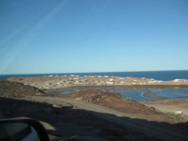
San Felipe was busy with the SCORE San Felipe 250 race activities, two days before the race. The drive home from San Felipe was easy. We used Highway 2-D from Mexicali to Tecate. The border line at Tecate was 28 minutes that Thursday afternoon.
That’s our 2022 Mission Santa María trip. I hope you enjoyed the views from our cameras!
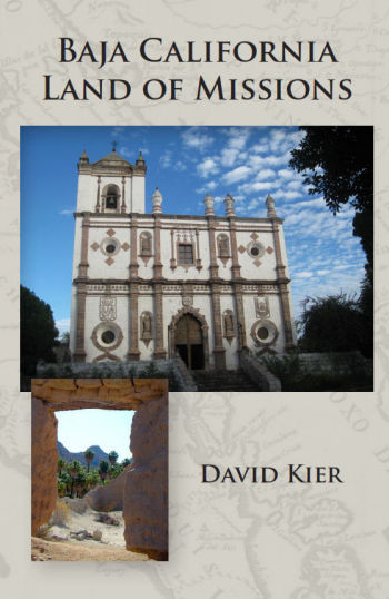
Want the history of this and the other 27 Baja California missions? Order from: www.oldmissions.com
Cover photos are of Mission San Ignacio and Mission Santa María’s doorway.
In 2021, an Amazon Prime TV show for the Mysteries of the Southwest series, was produced by Robert Marcos, The Last Mission. Robert was kind enough to come to my home and have me speak on the show about Mission Santa María and show my book at the very end credits. Thanks Robert! The show (21 minutes): https://youtu.be/cJHyNaQ-Uw4