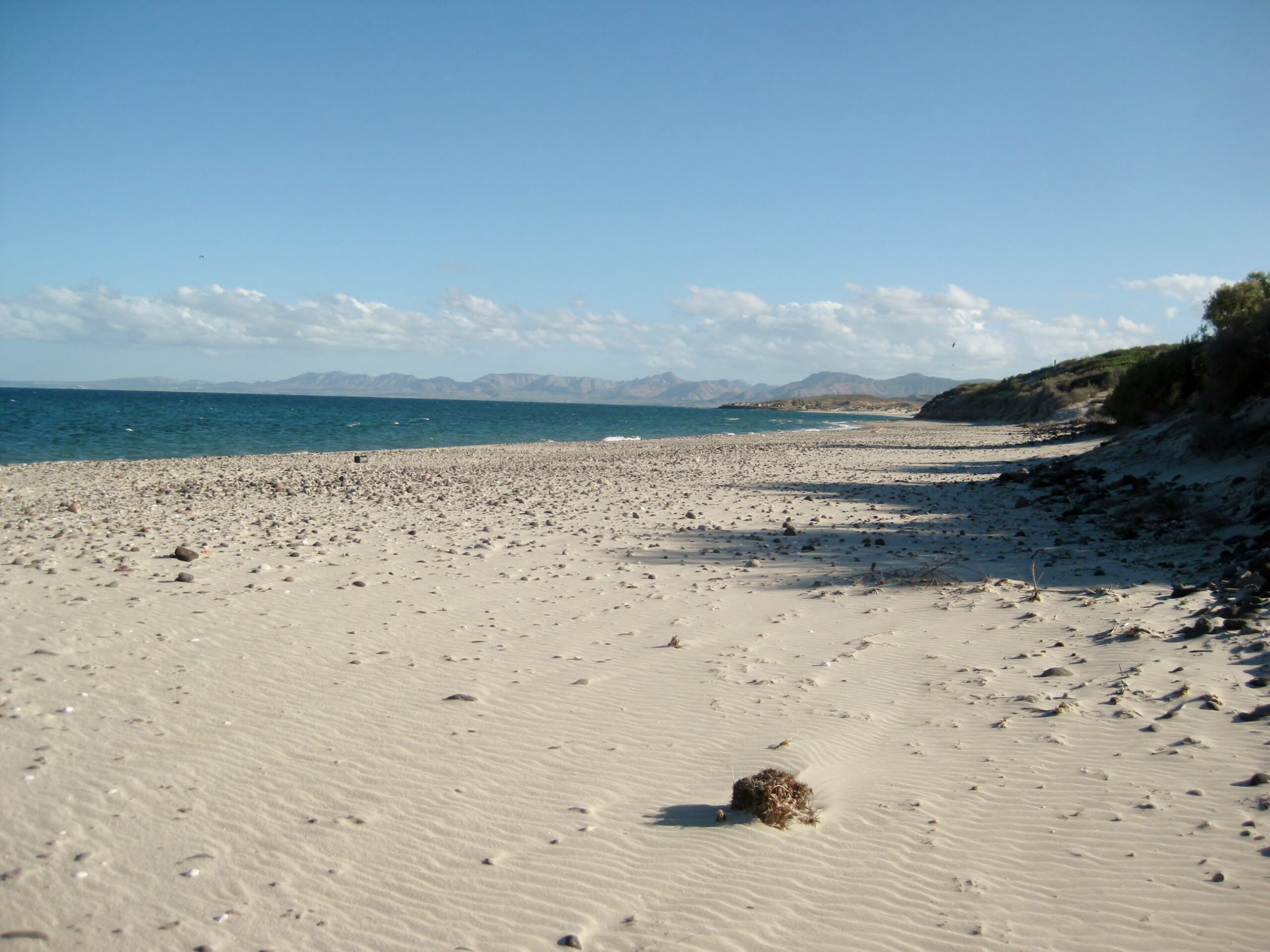
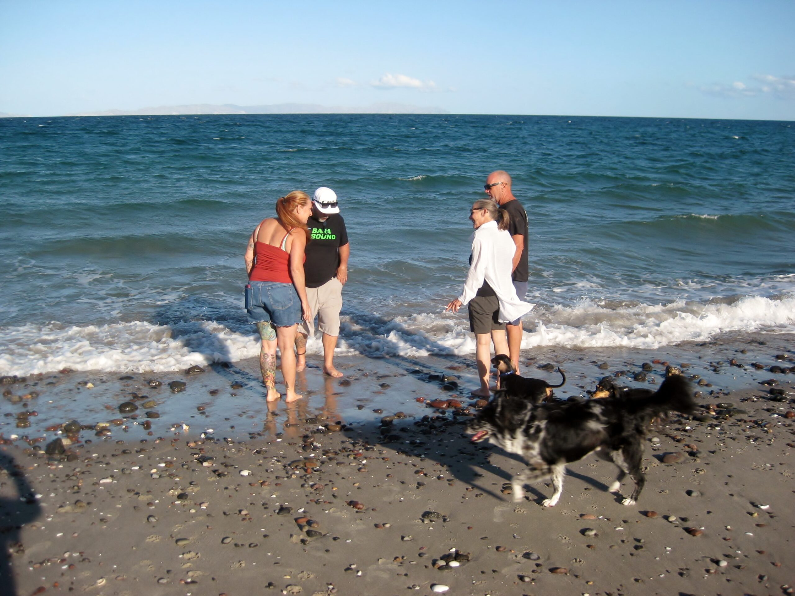
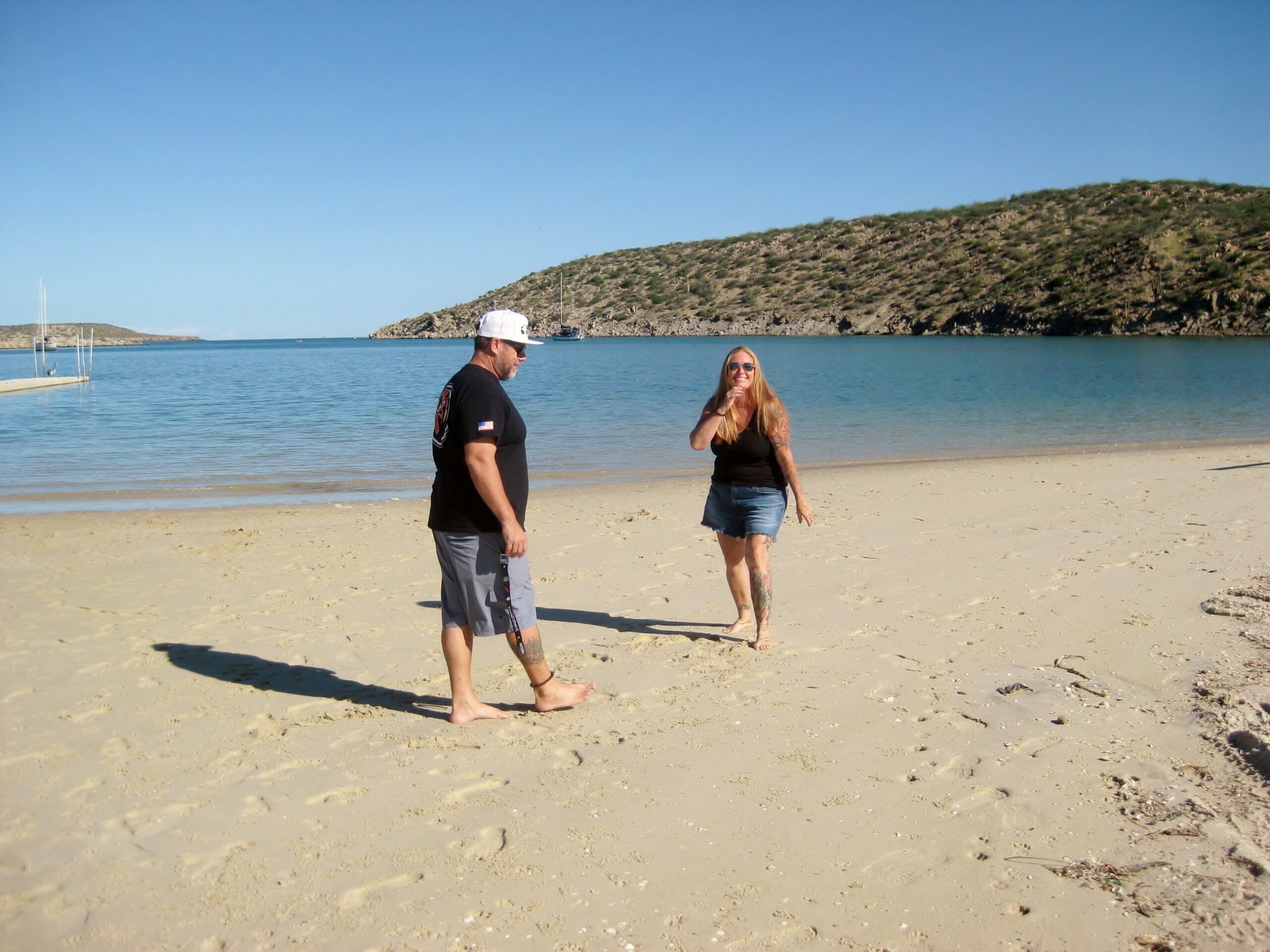
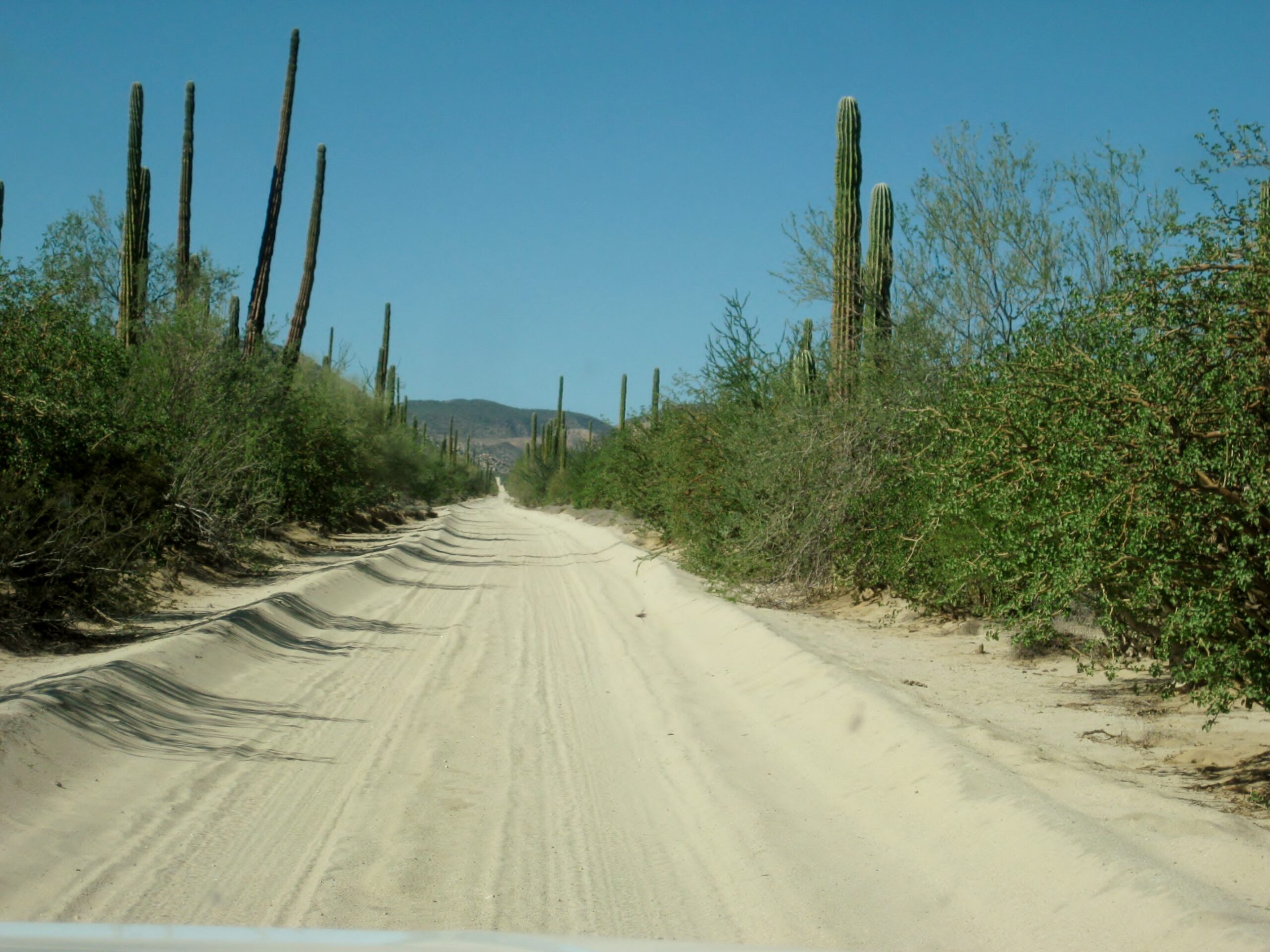
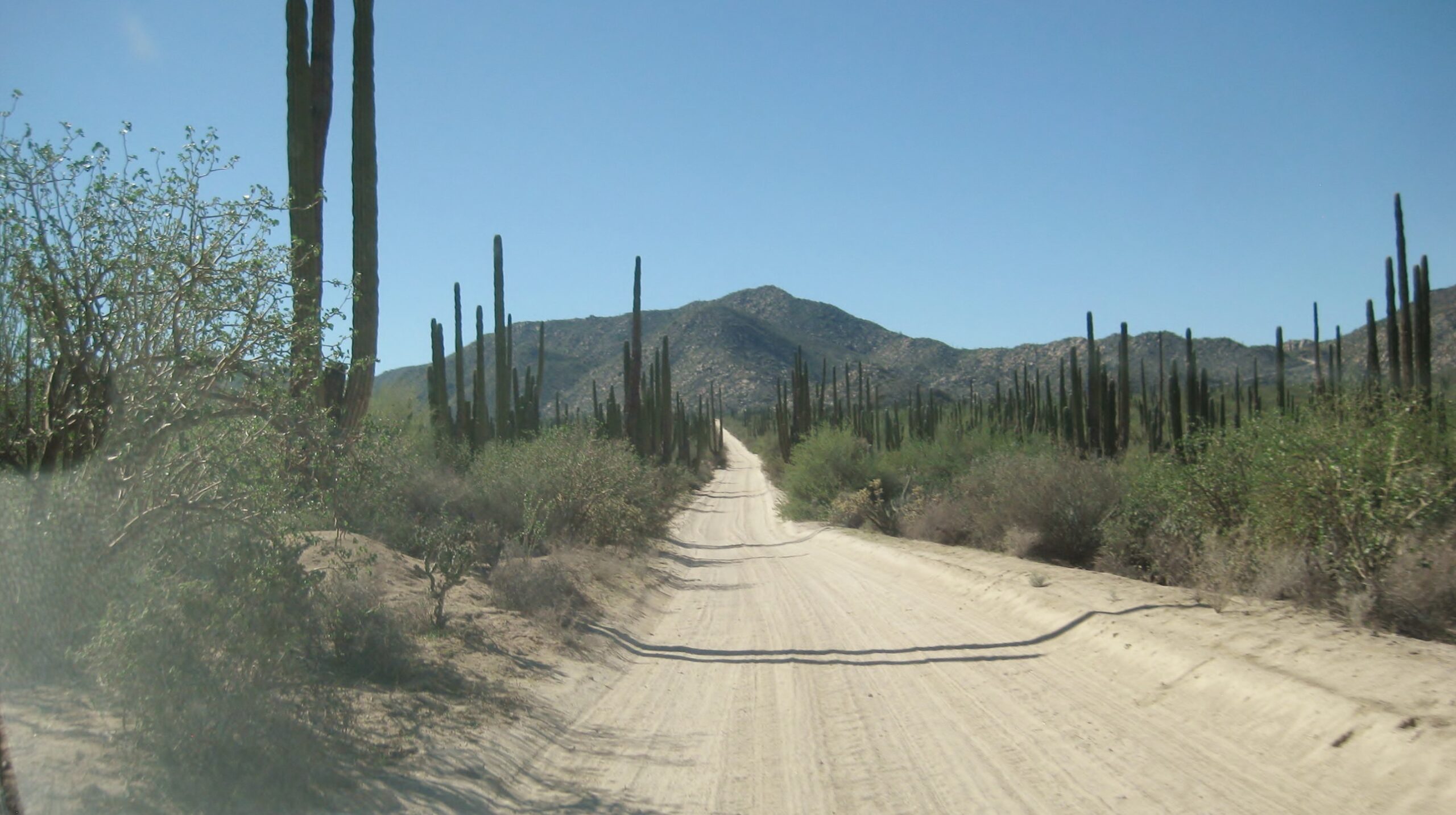
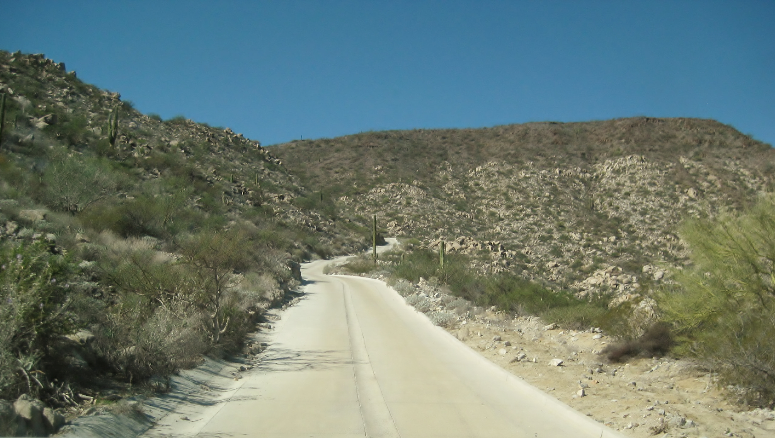
Another intense dose of Baja California: to see sites, teach a little history, and enjoy some great food.

Dave Wilcher of Toyotas in Baja and David Kier of VivaBaja.com and Baja California Land of Missions book were in the lead vehicle serving as guide for this small group.
Toyotas in Baja is a Facebook group started by Dave W., who also promotes Baja Bound Insurance while in Mexico.
This was the third trip I have made with Dave, showing him points of interest that are not always visited by many travelers. Remember, every dirt road in Baja goes someplace… often someplace very interesting. Last May, we also had Lamoine Fulton join us (Punta Banda and San Felipe South Campos homes). See that trip HERE
I will post the photos for areas or places we stayed during the six-day expedition.
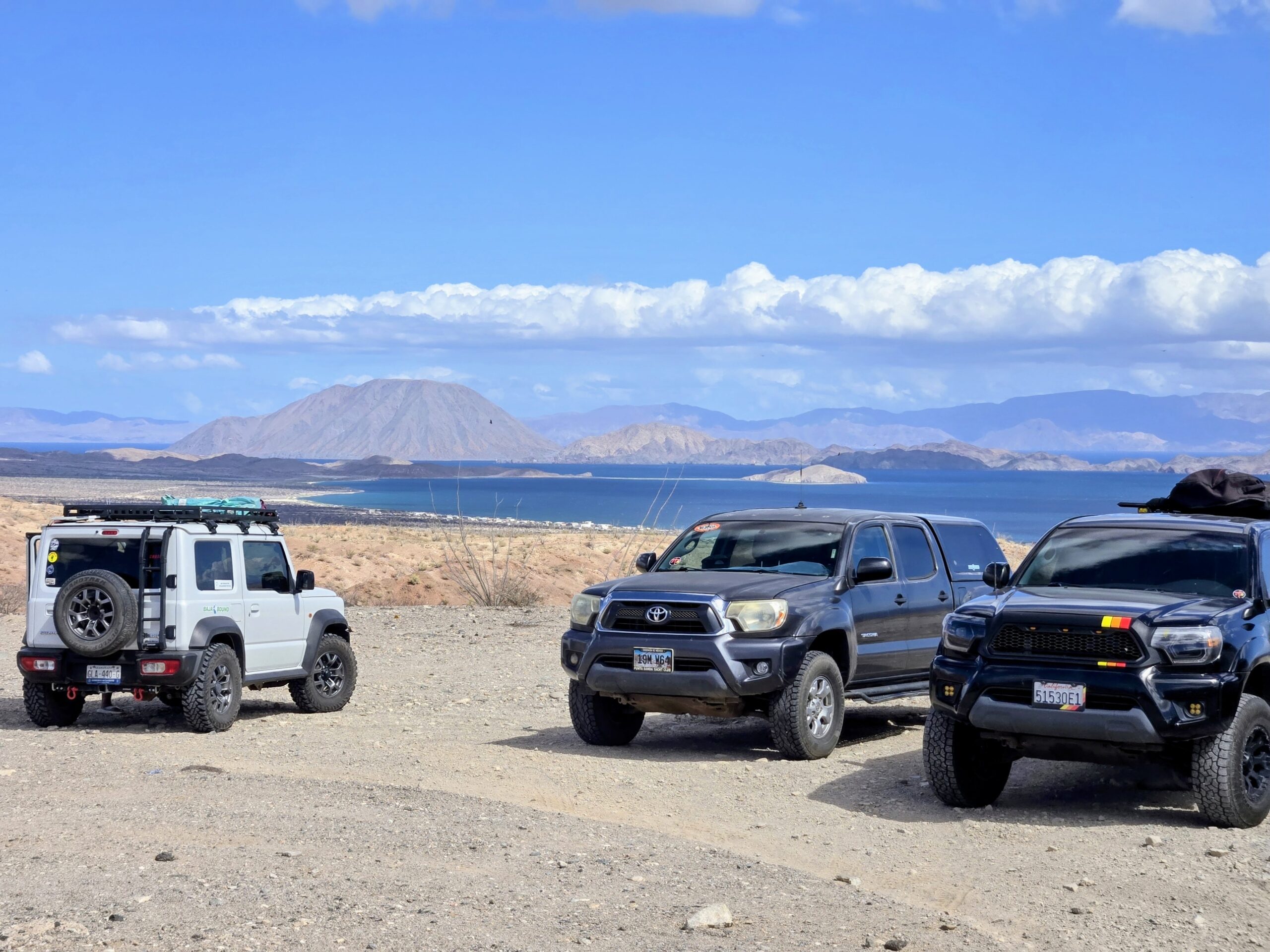
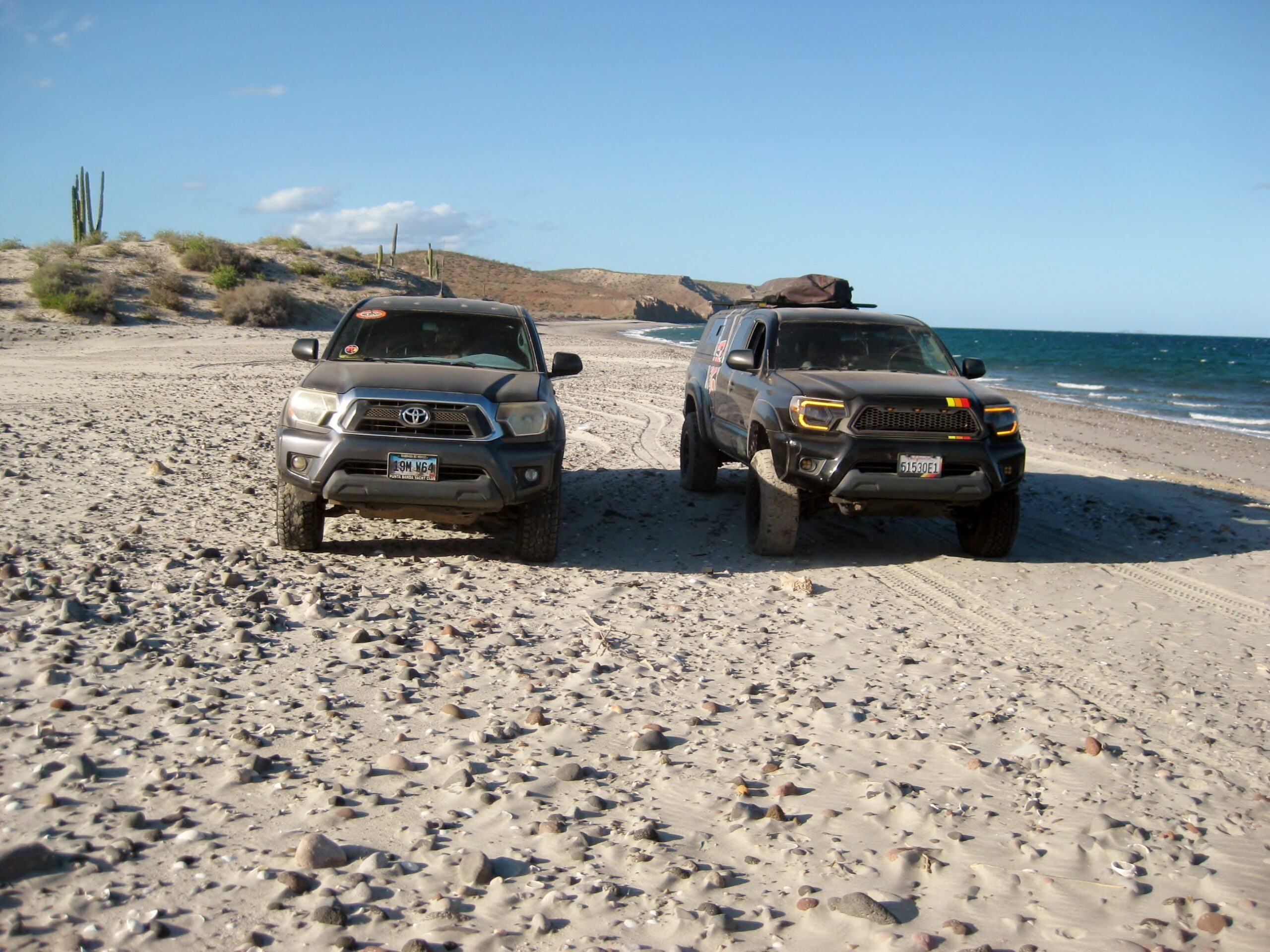
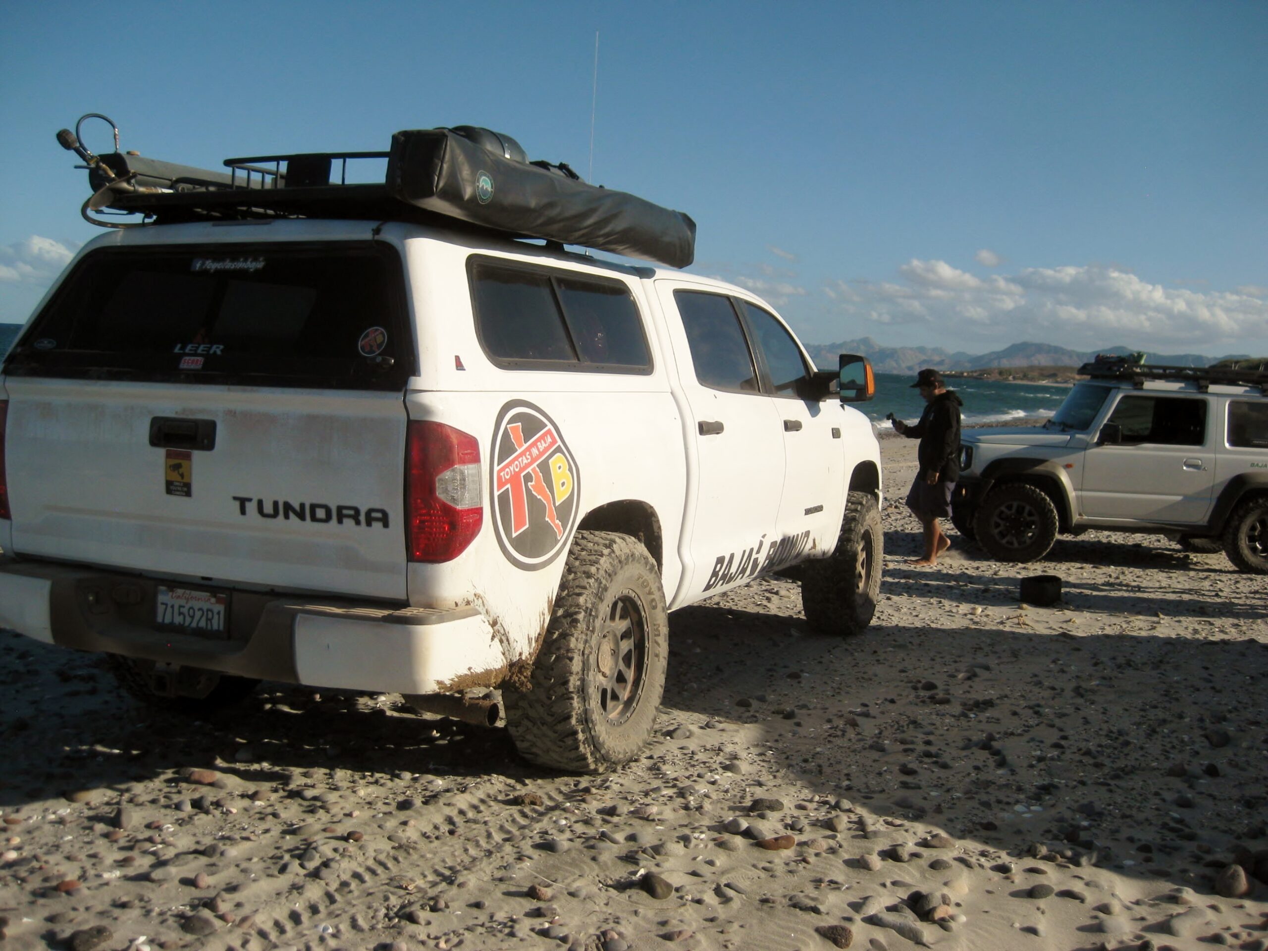
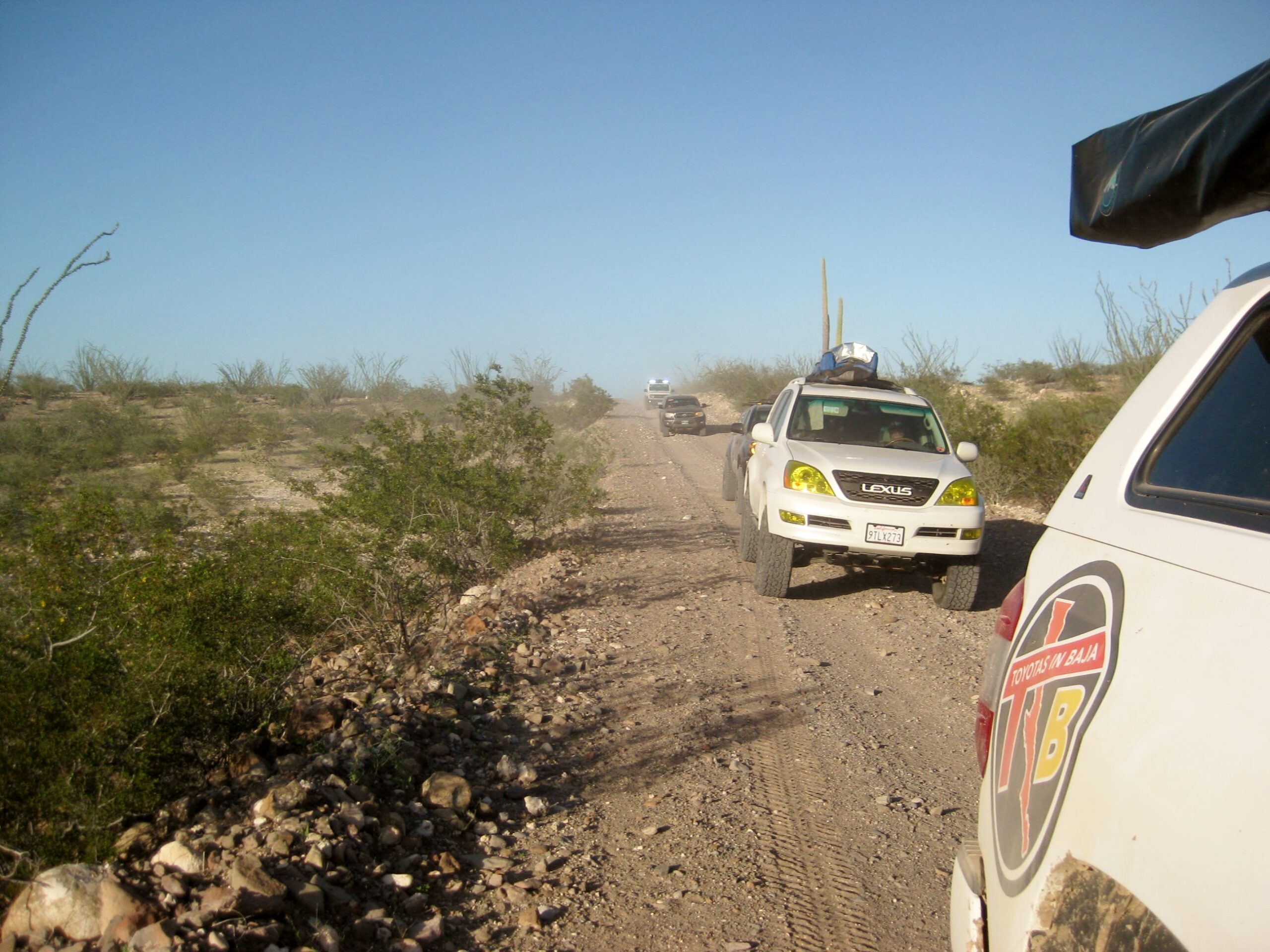
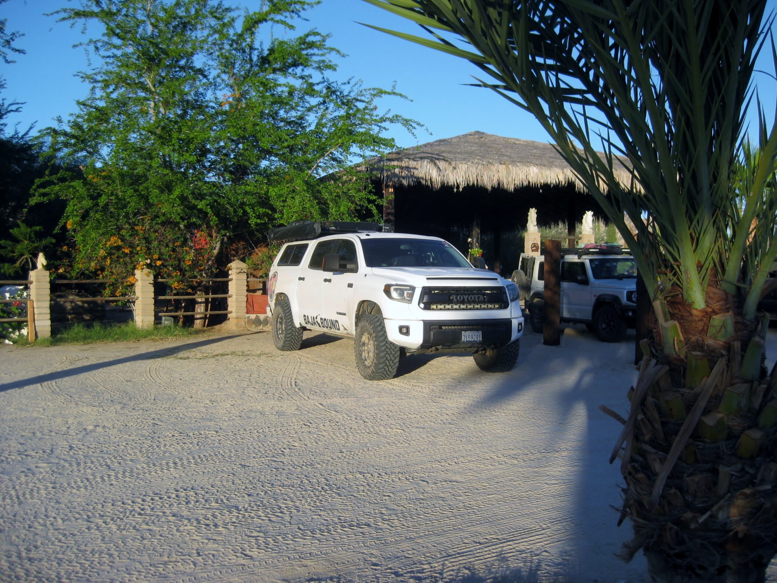
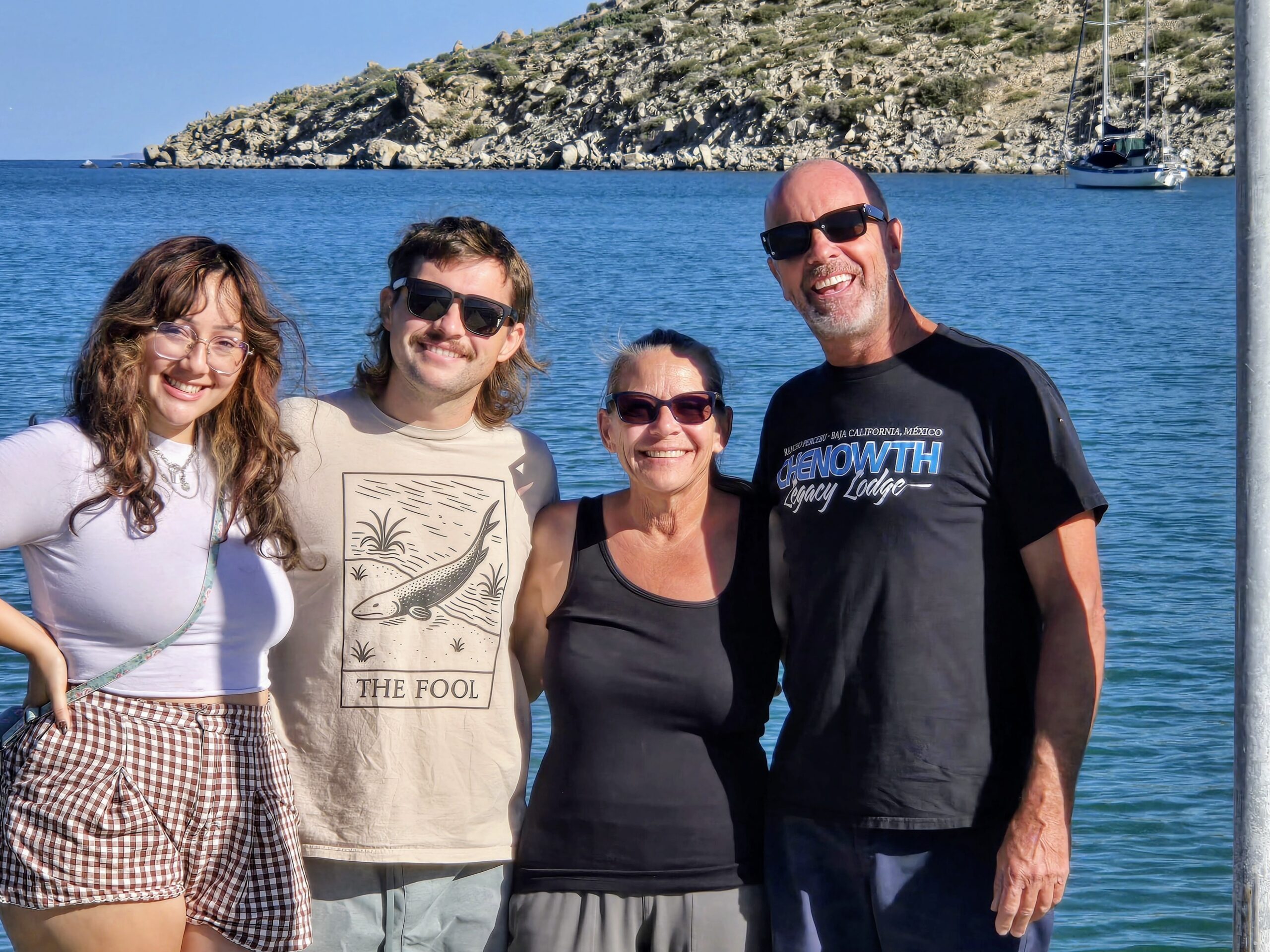
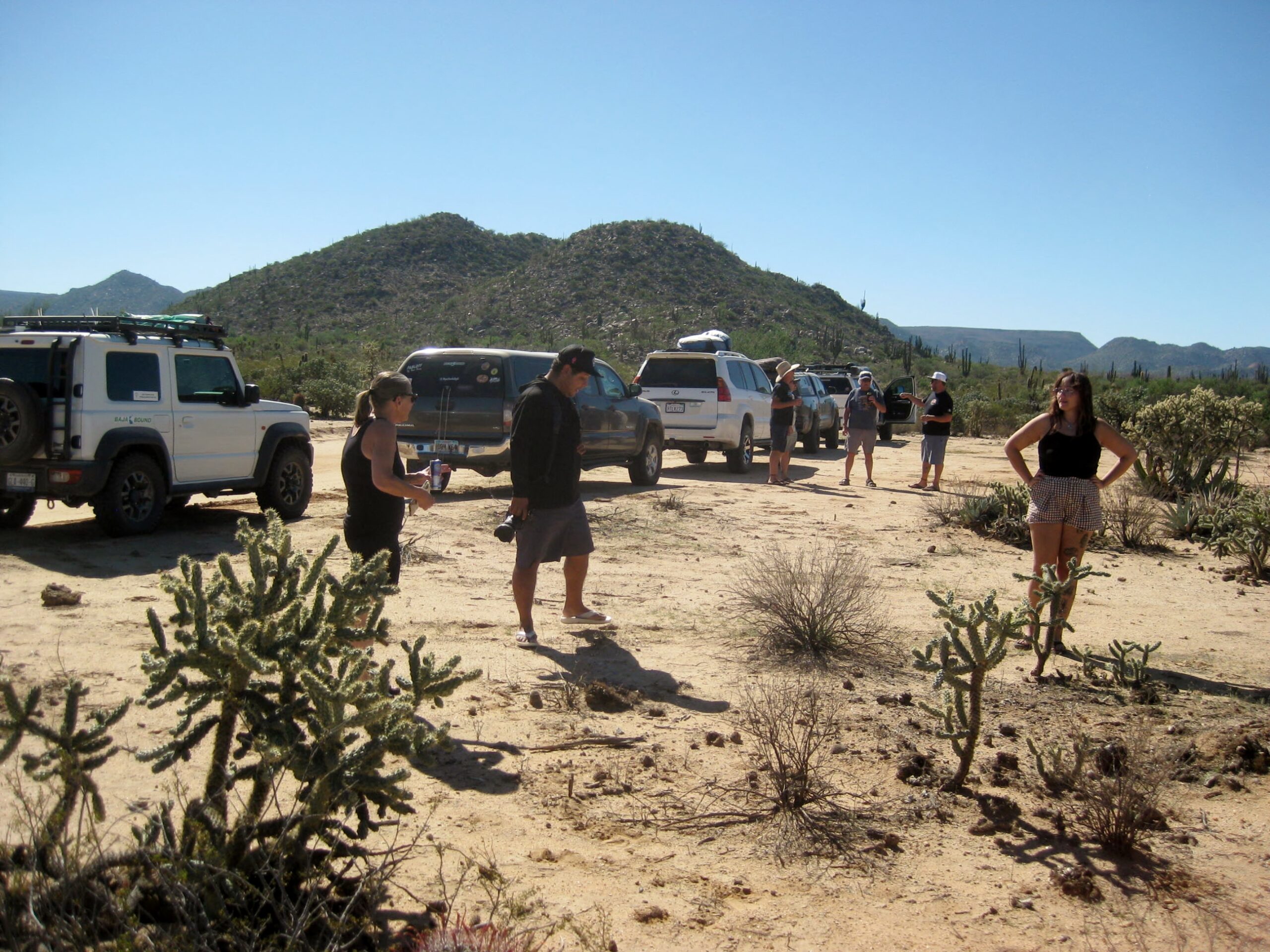
We were 5 vehicles in total: Dave’s Tundra (I was the navigator), Mike’s Lexus, Mike Jrs’. Tacoma, Lamoine’s Tacoma, and Marcos’ Suzuki. Marcos is a professional cinematographer from the mainland. He is on Instagram and Facebook as ‘MotoChido‘ and filmed the Slow Baja tour and previous Toyotas in Baja event in San Quintín. Riding with Mike was wife Heather and riding with their son was his fiancée, Jessica.
Riding with Lamoine and also driving was Dave’s sister, April.

VIDEOS are FUN!: (standby for YouTube link)

#1: WATCH

#2: WATCH

#3: WATCH

#4: Bahía Asunción fun: WATCH

Day 1 was from California, USA to San Felipe’s ‘South Campos,’ where Dave and April share a beach house.

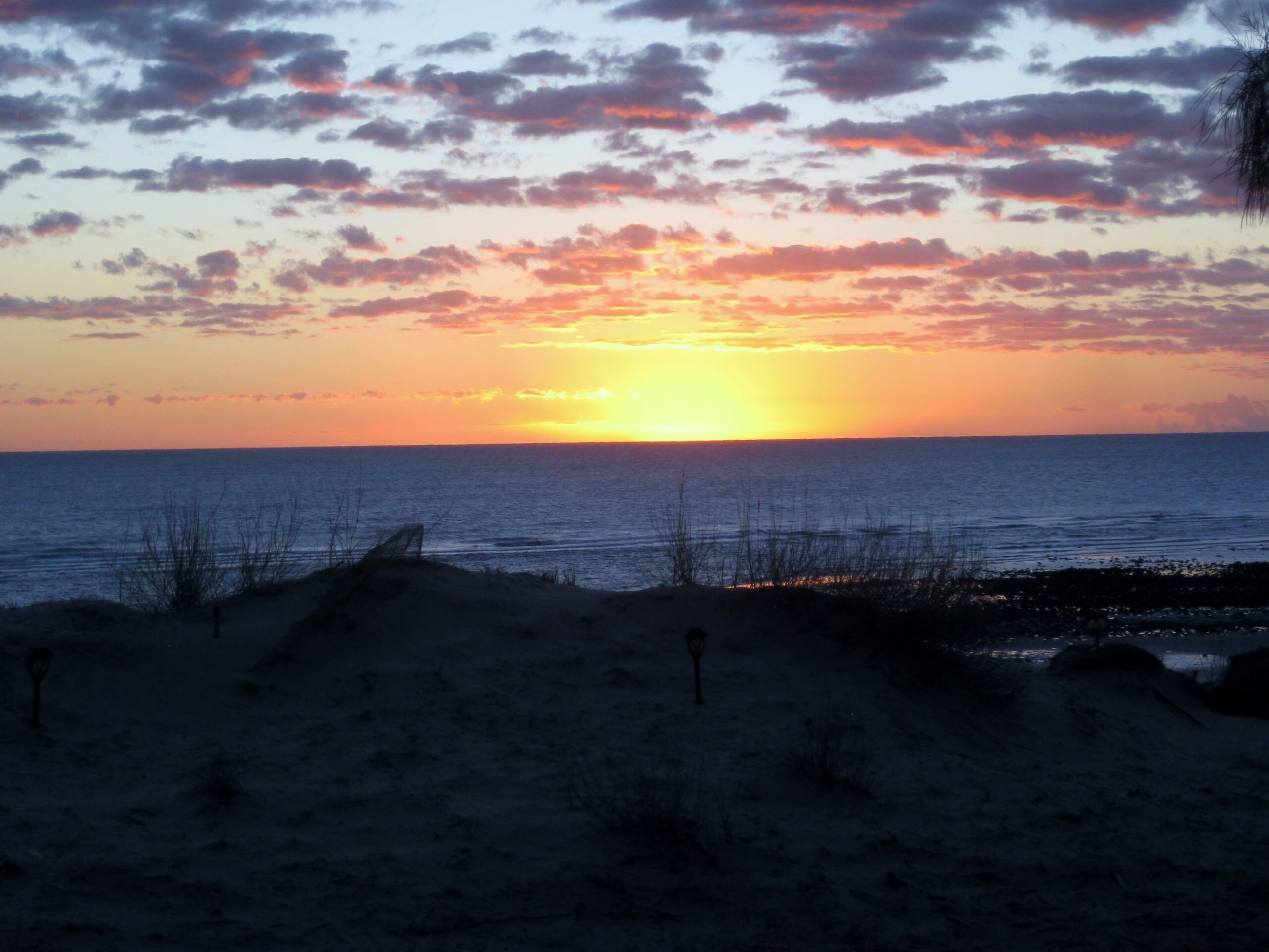
Day 2 begins in the South Campos with this beautiful sunrise over “Lake Cortez” (what some locals call the Gulf of California/ Sea of Cortez)…
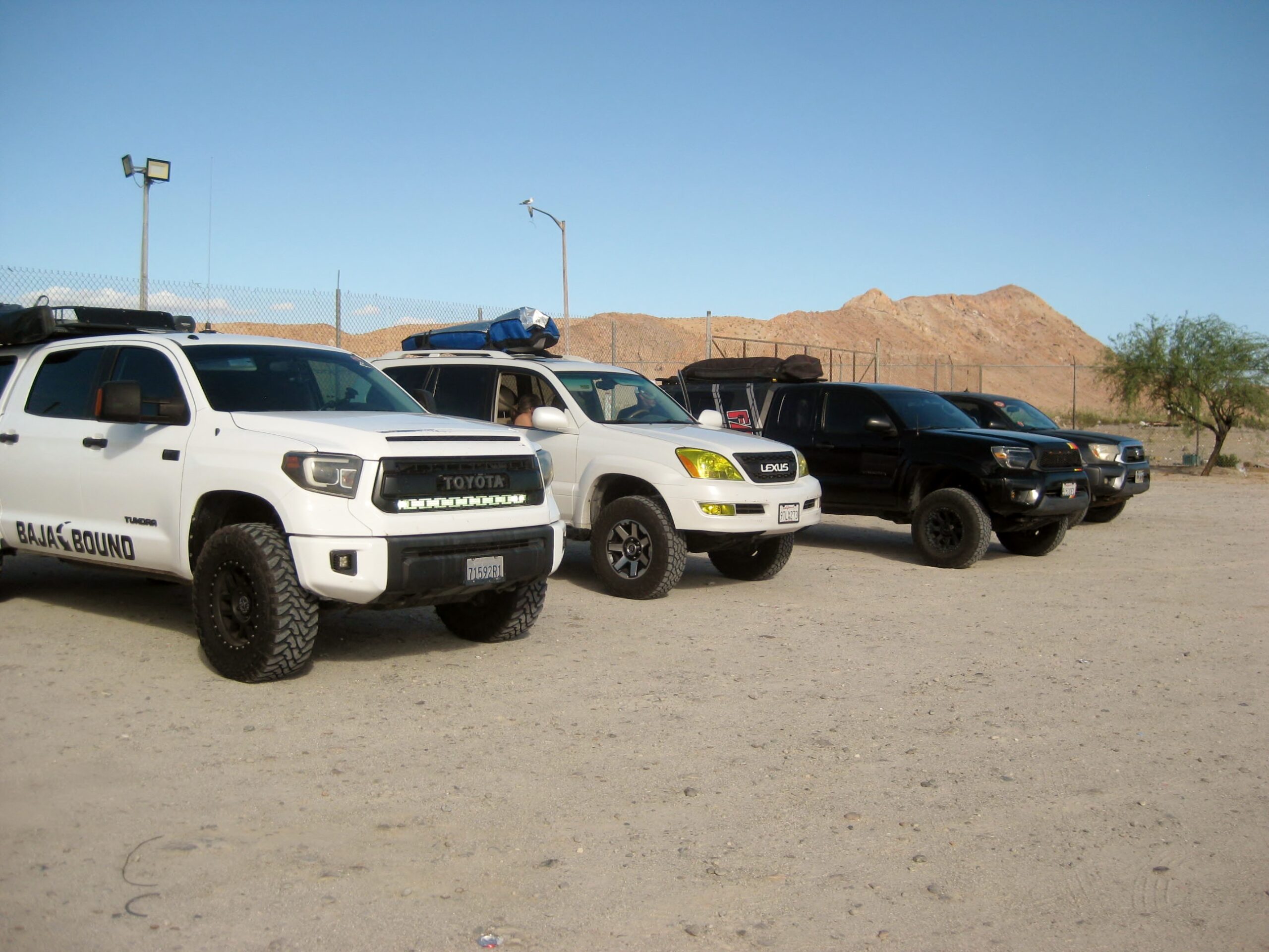
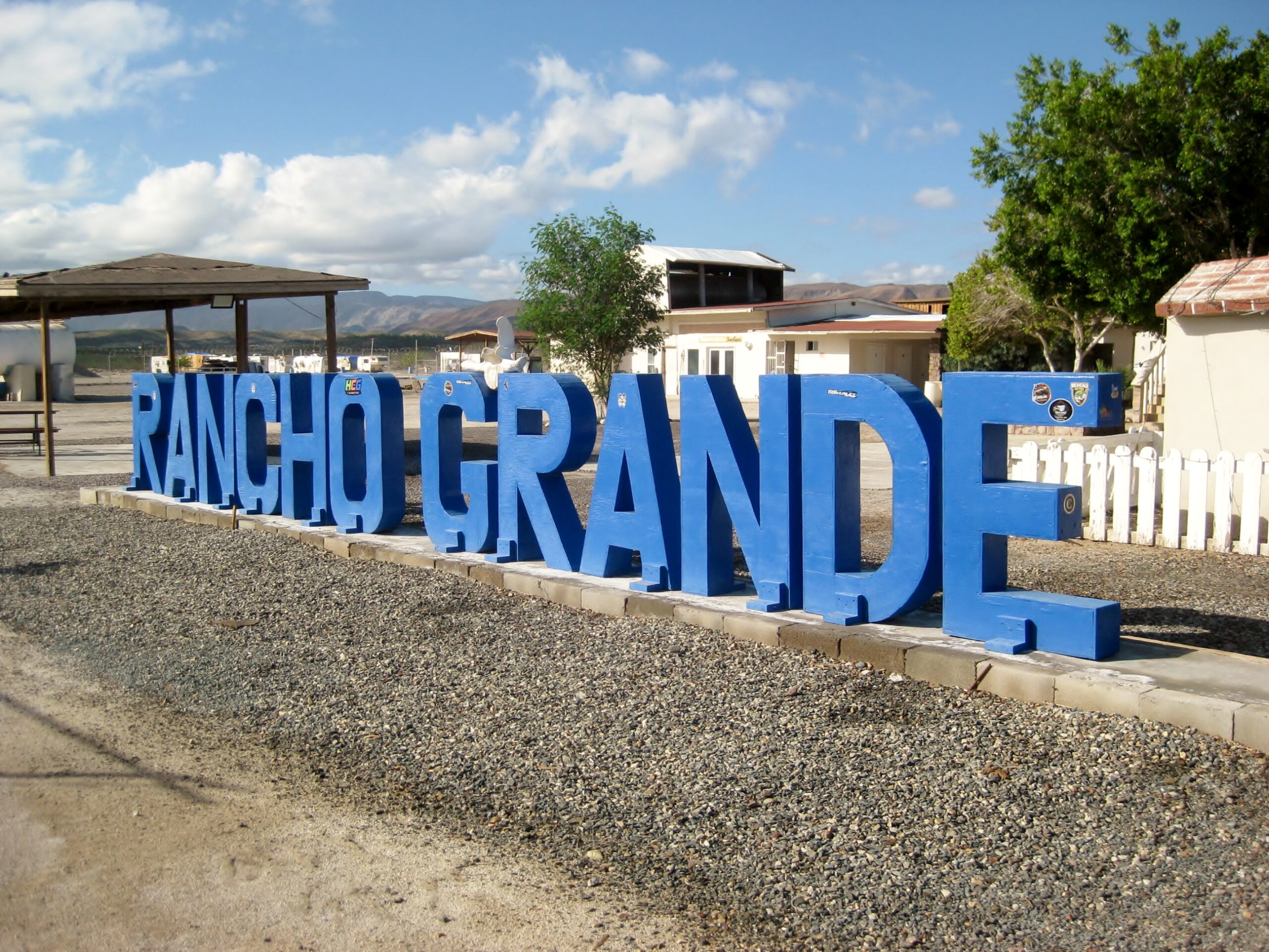
The four Toyota-made products at Rancho Grande Market, Gonzaga Bay, nearly 100 miles south of San Felipe.

The market is very well stocked. A tire repair service in behind the market.
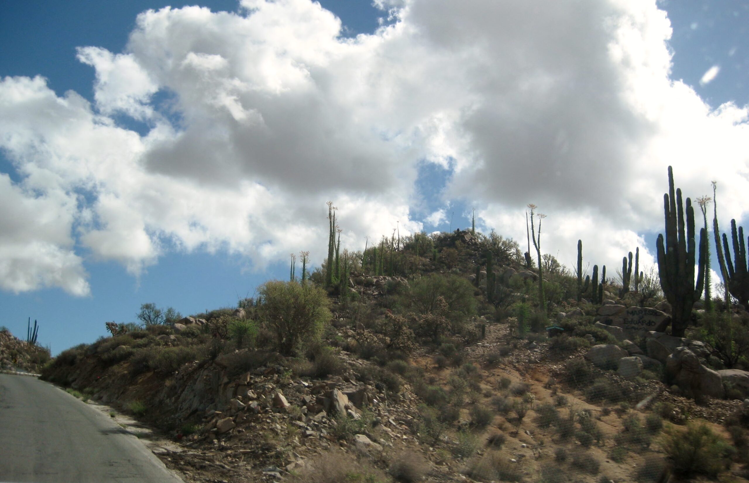
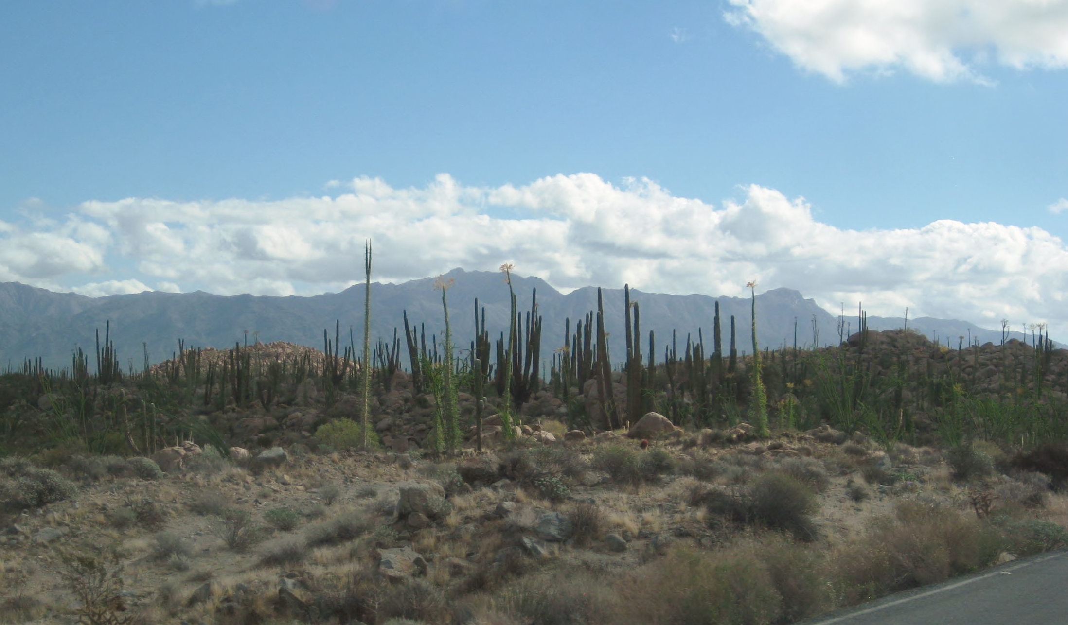
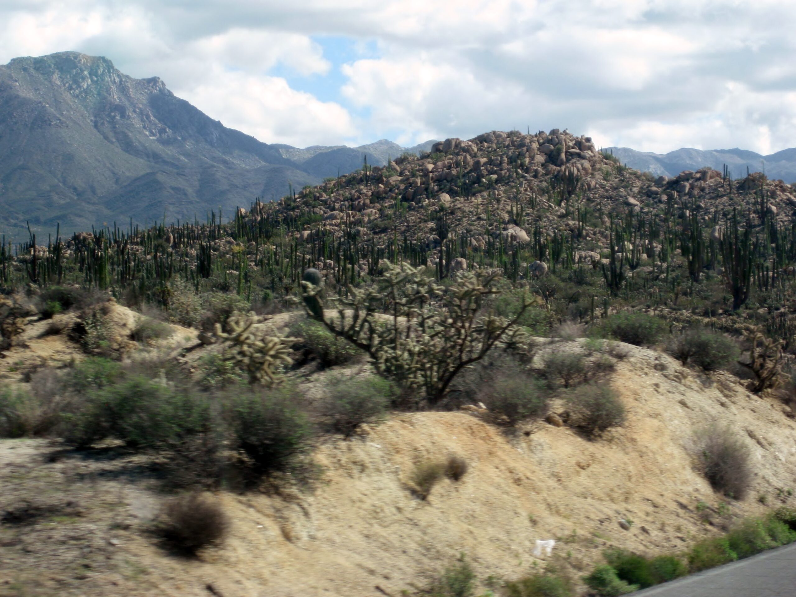
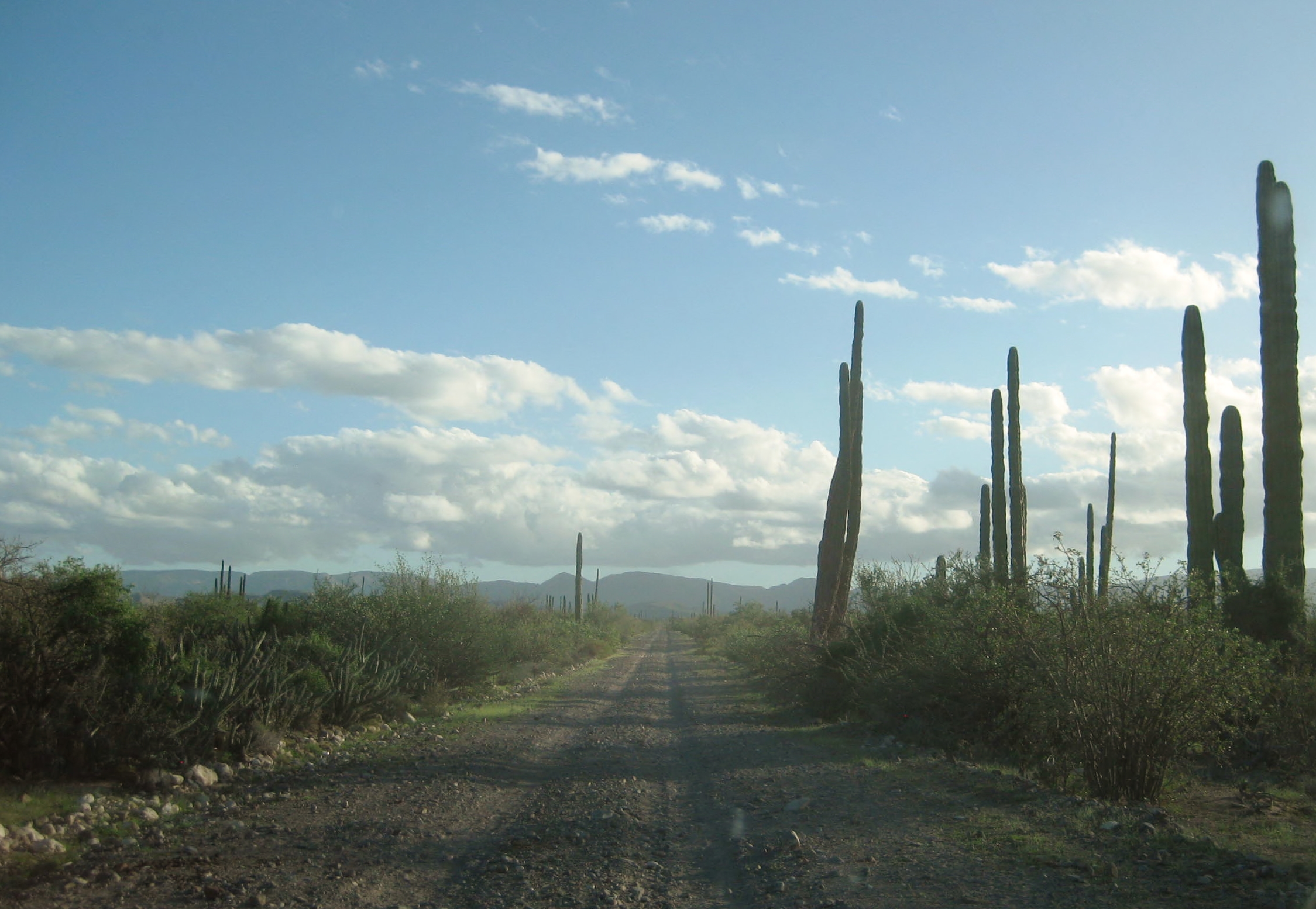
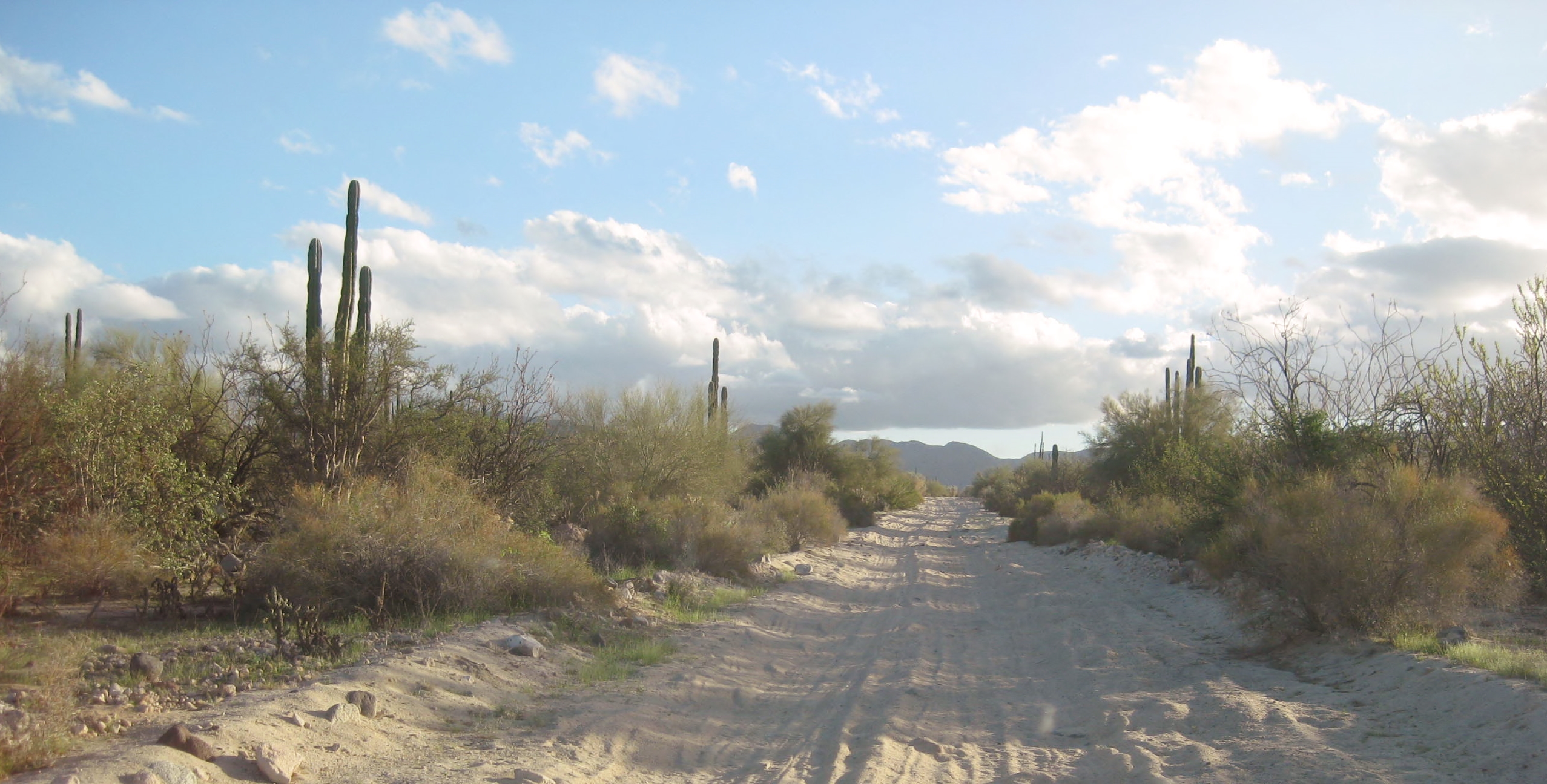
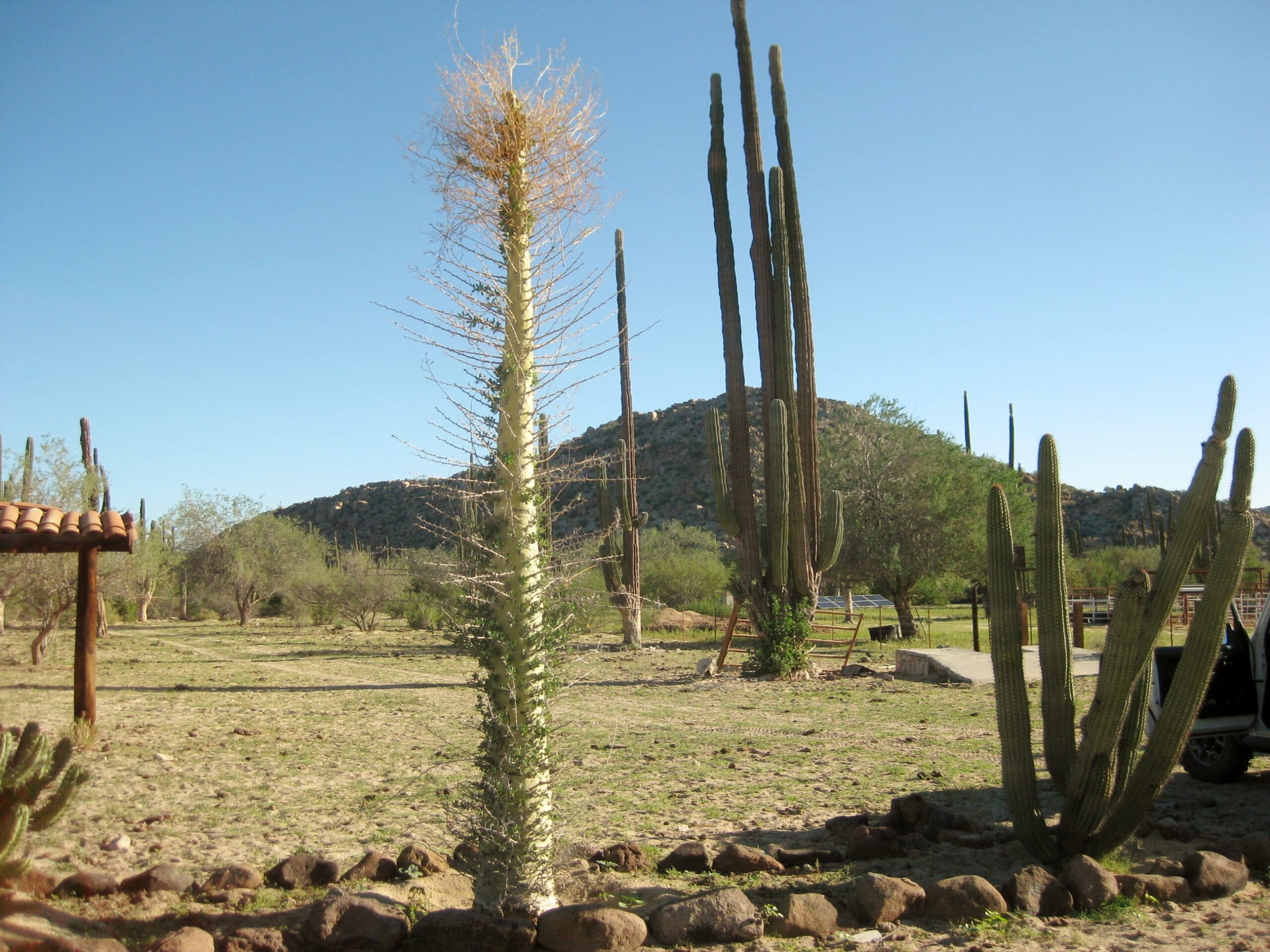
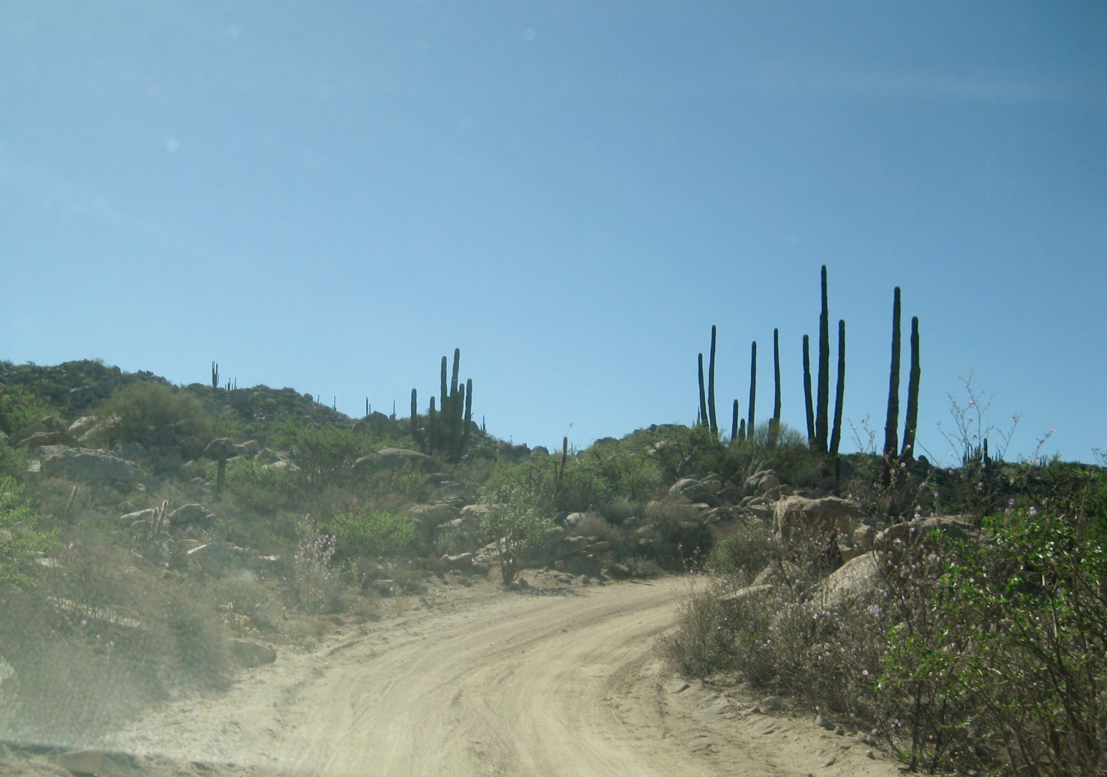
About 20 miles south of Rancho Grande, we begin to see cirios, aka the ‘boojum’ trees, along with the magnificent cardón cactus, largest species in the world.

Bahía de los Ángeles

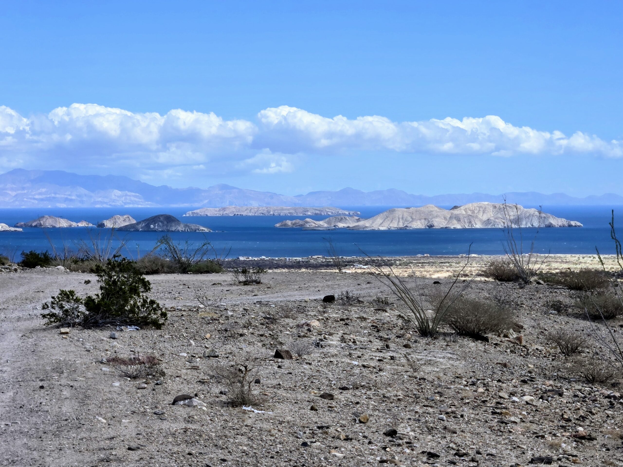
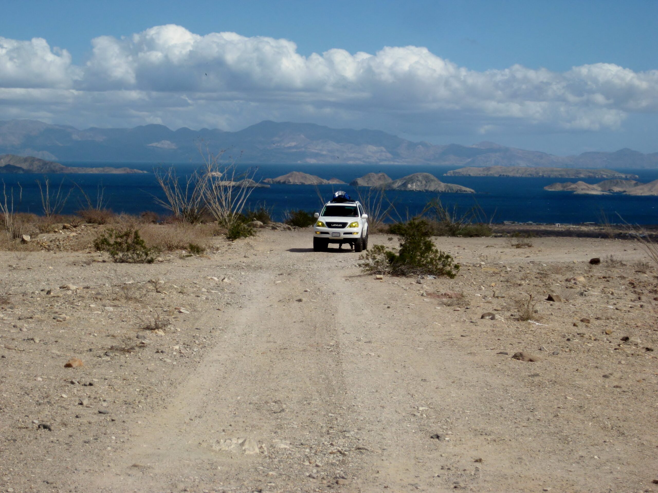
We arrive at beautiful Bahía de los Ángeles, the Bay of Angels. This is about a 100-mile-drive from Gonzaga Bay/ 190 miles from San Felipe.
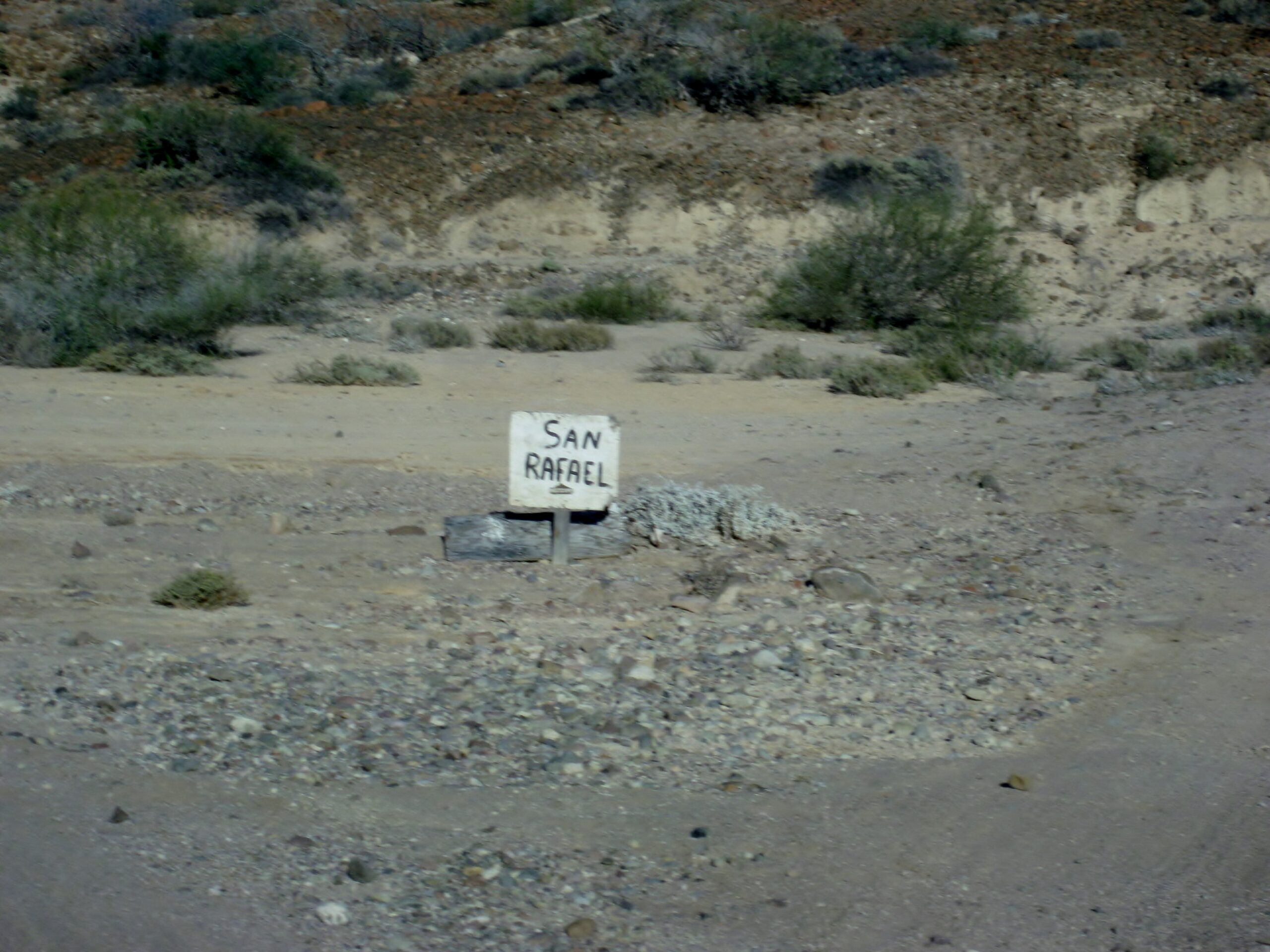
Note the locations for Las Flores, the road north to Las Ánimas, and San Rafael.
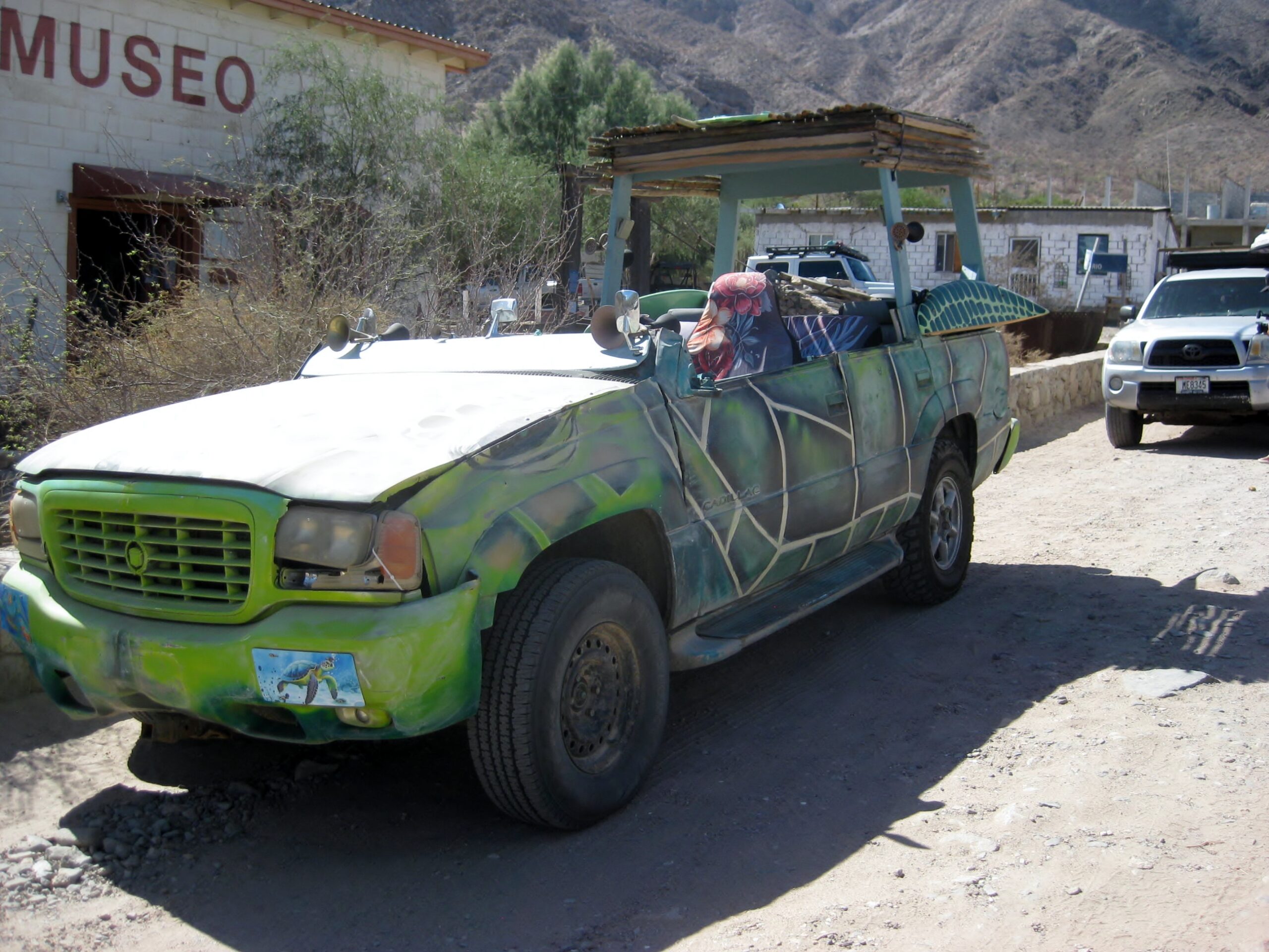
A ‘turtle mobile’ at the Bahía de los Ángeles Museum, a place that should not be missed! See photos inside in the May 2026 trip album.                            

Next stop is ten miles south and just west of the road is the jailhouse of Las Flores.         

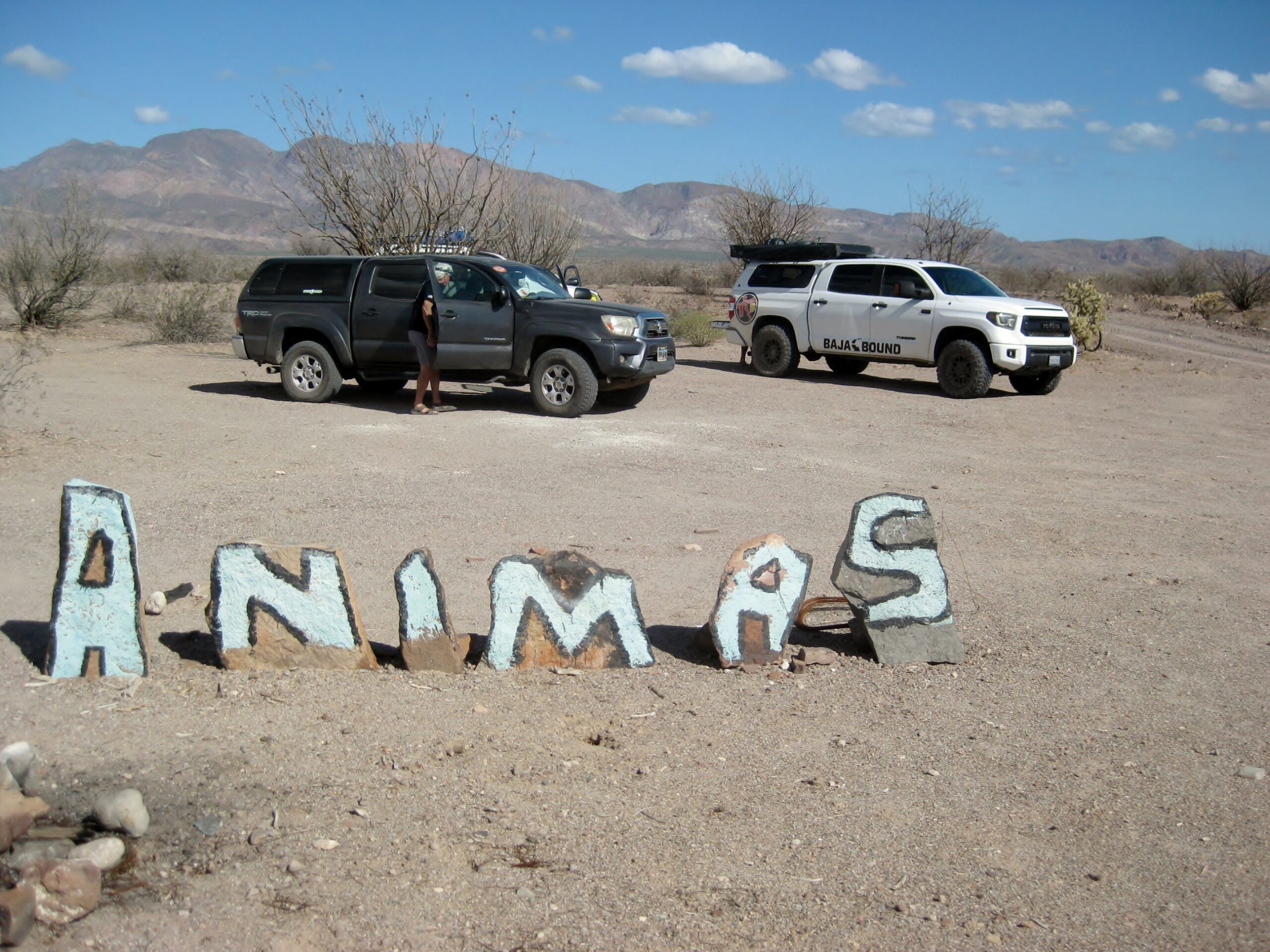
After looking around, sighting the old cemetery in the distance and the train tracks bed that goes 5 miles south, where the ore buckets filled the train cars, we continued south to Bahía San Rafael, with a stop at the Bahía las Ánimas junction. Read about Las Flores: HERE and my Desert Railroad article: HERE
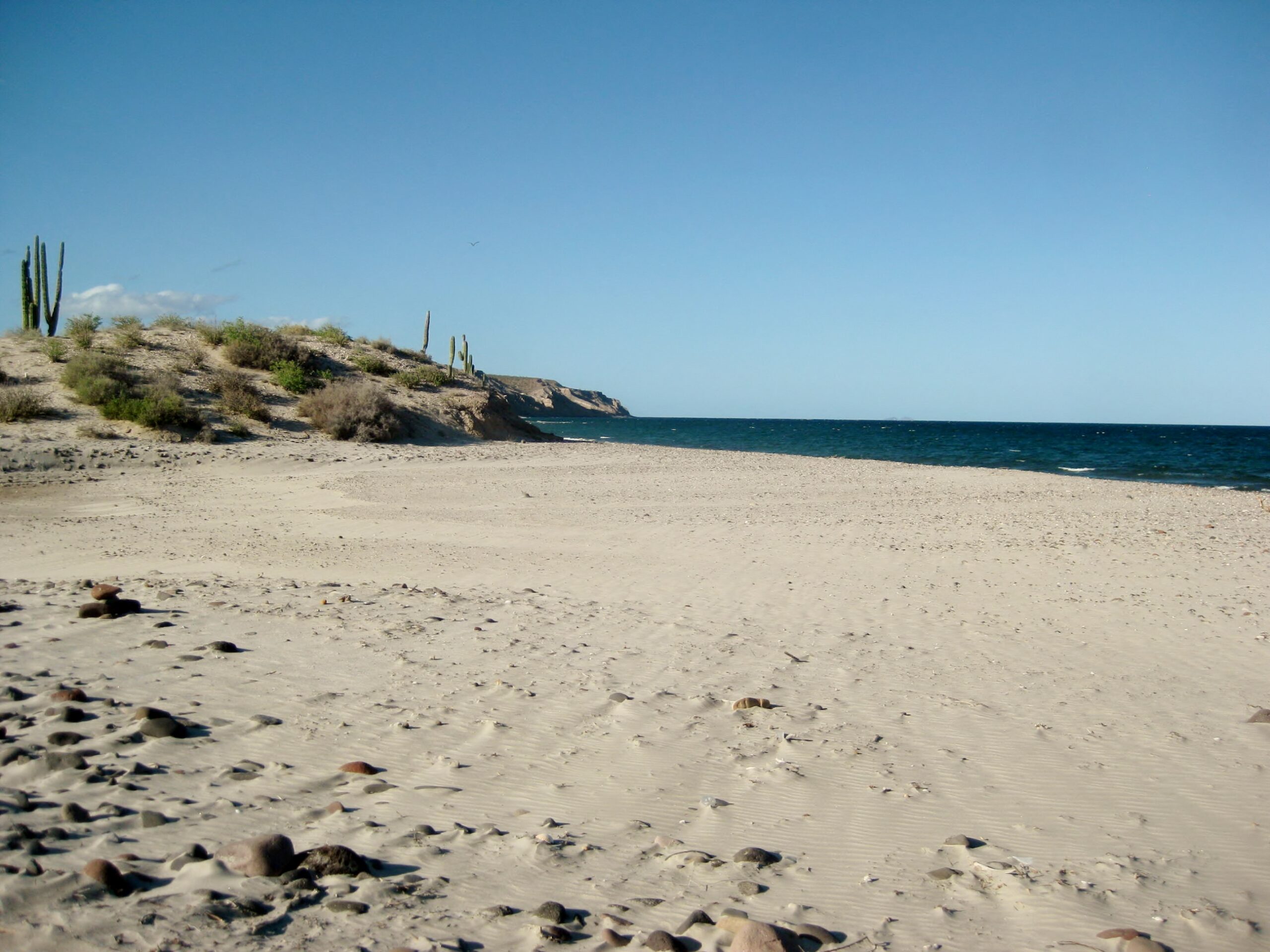
Bahía San Rafael
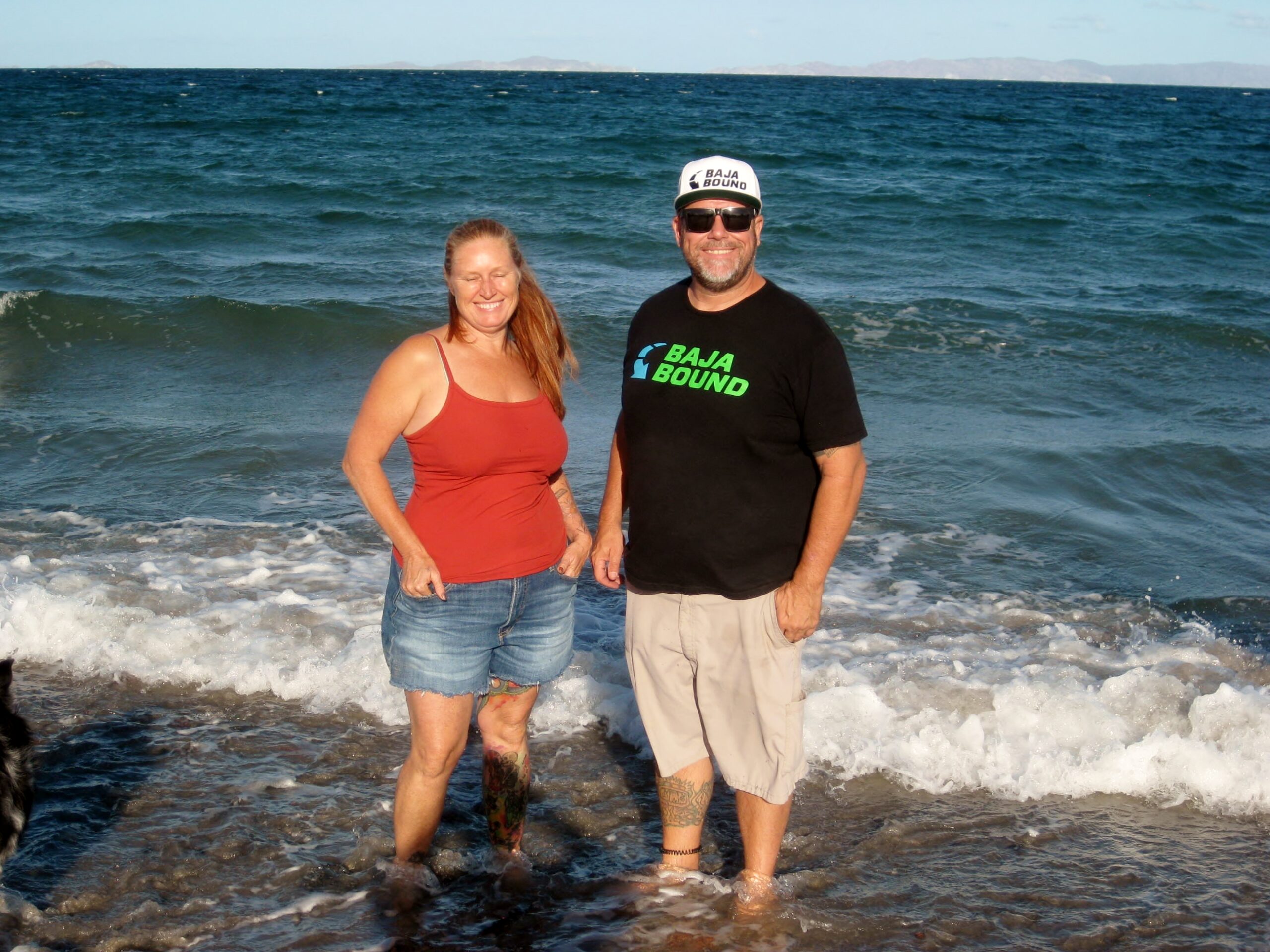
April, Dave, Heather, and Mike
April and Dave
The junction with the short road to San Rafael fish camp. Once home of a very hospitable man, many of us knew, ‘Pancho’.

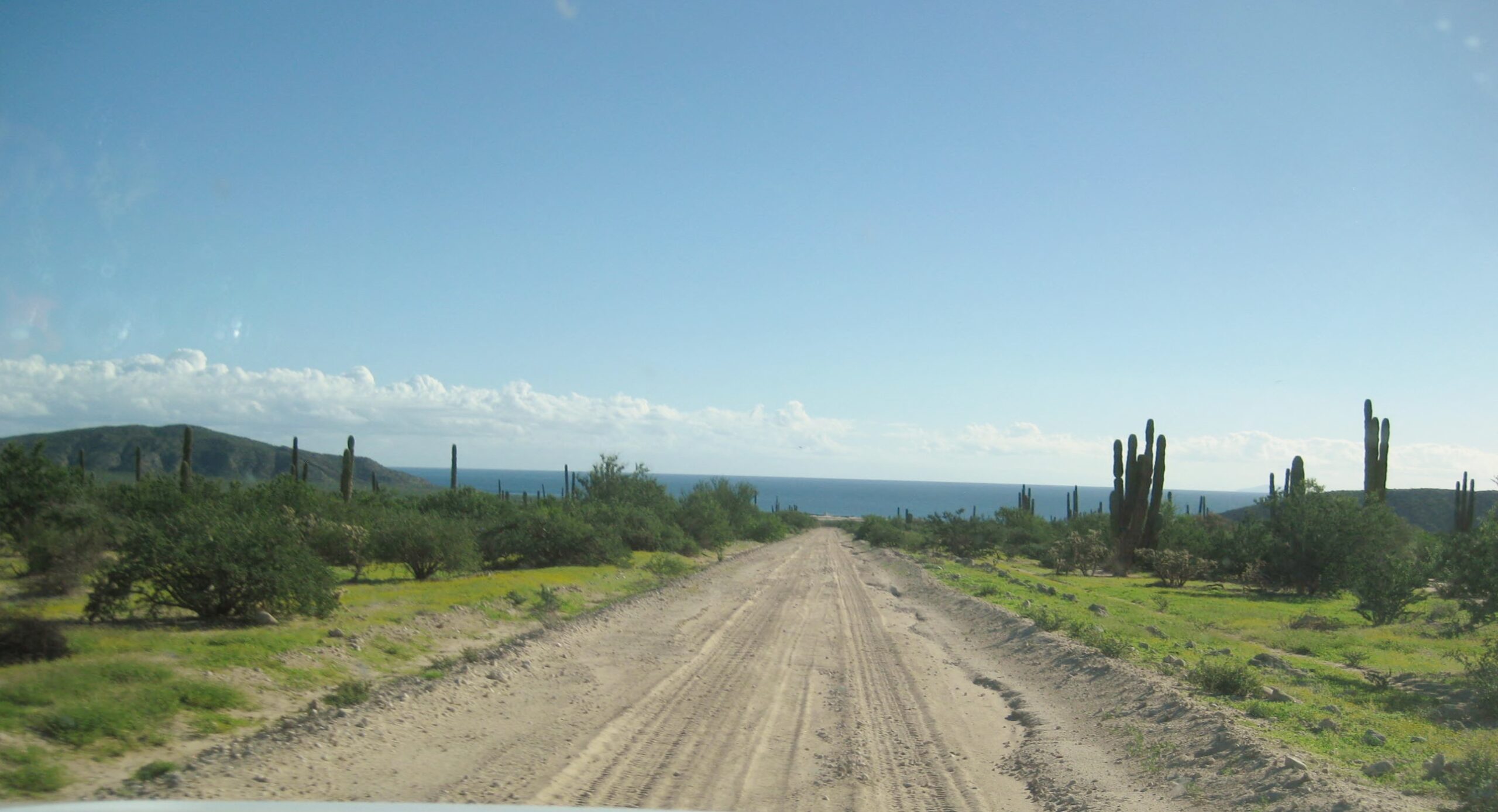
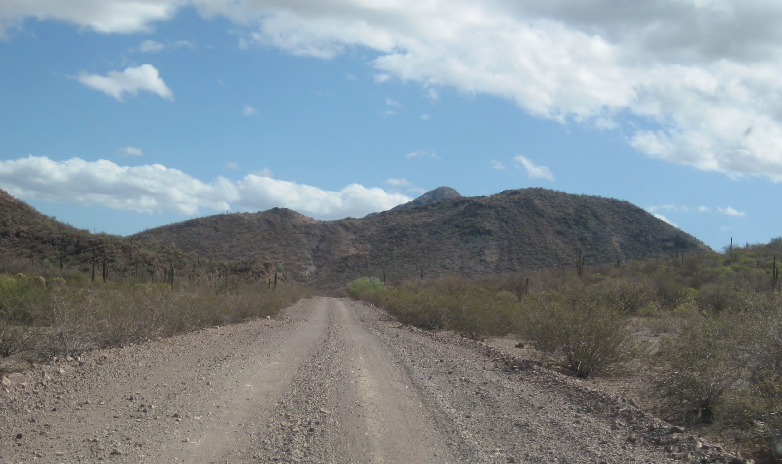
We continue south hoping to reach Rancho Escondido before dark. The road condition deteriorated rapidly!

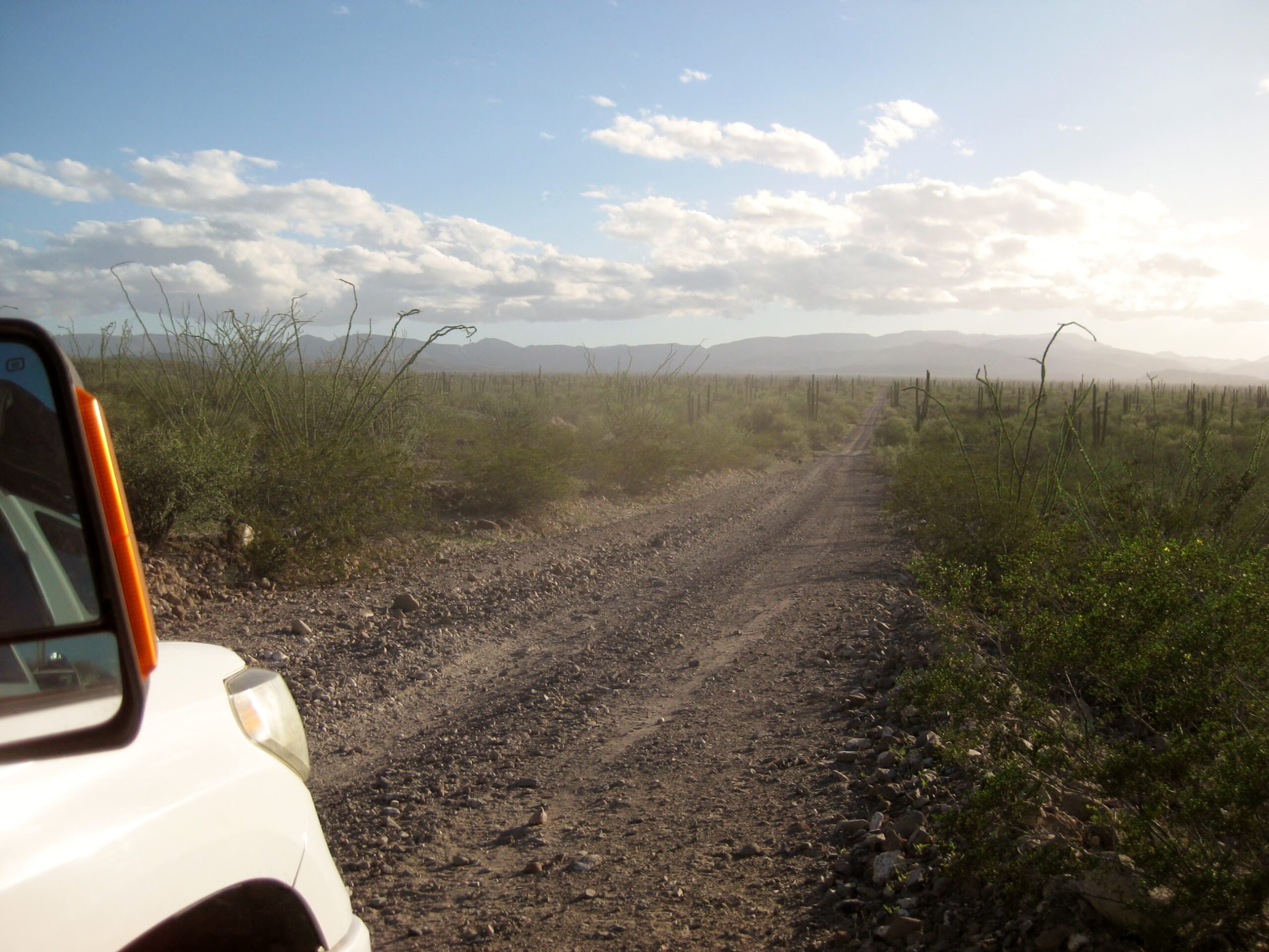
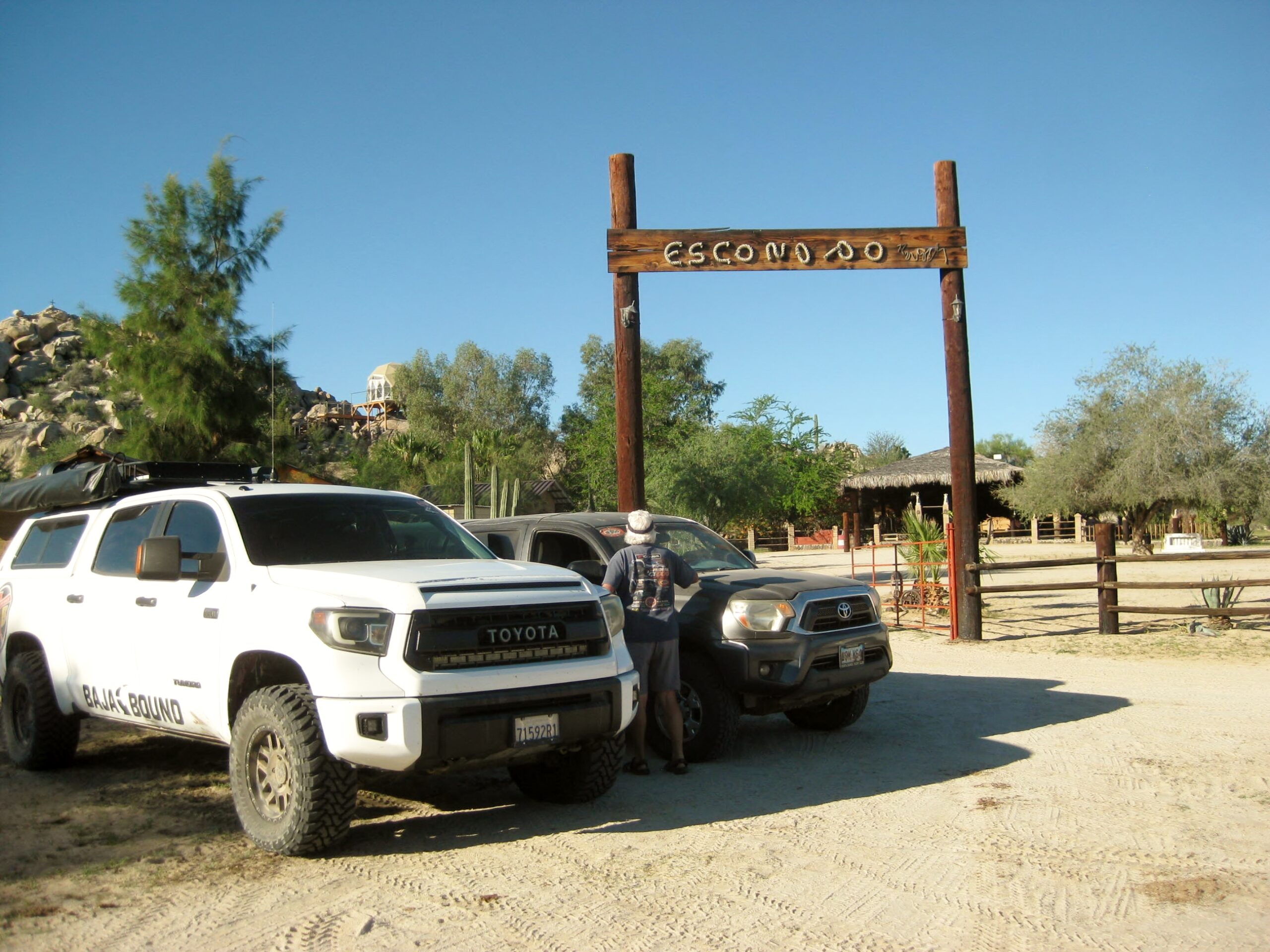
Rancho Escondido and Day 3 (Saturday, Oct. 24)
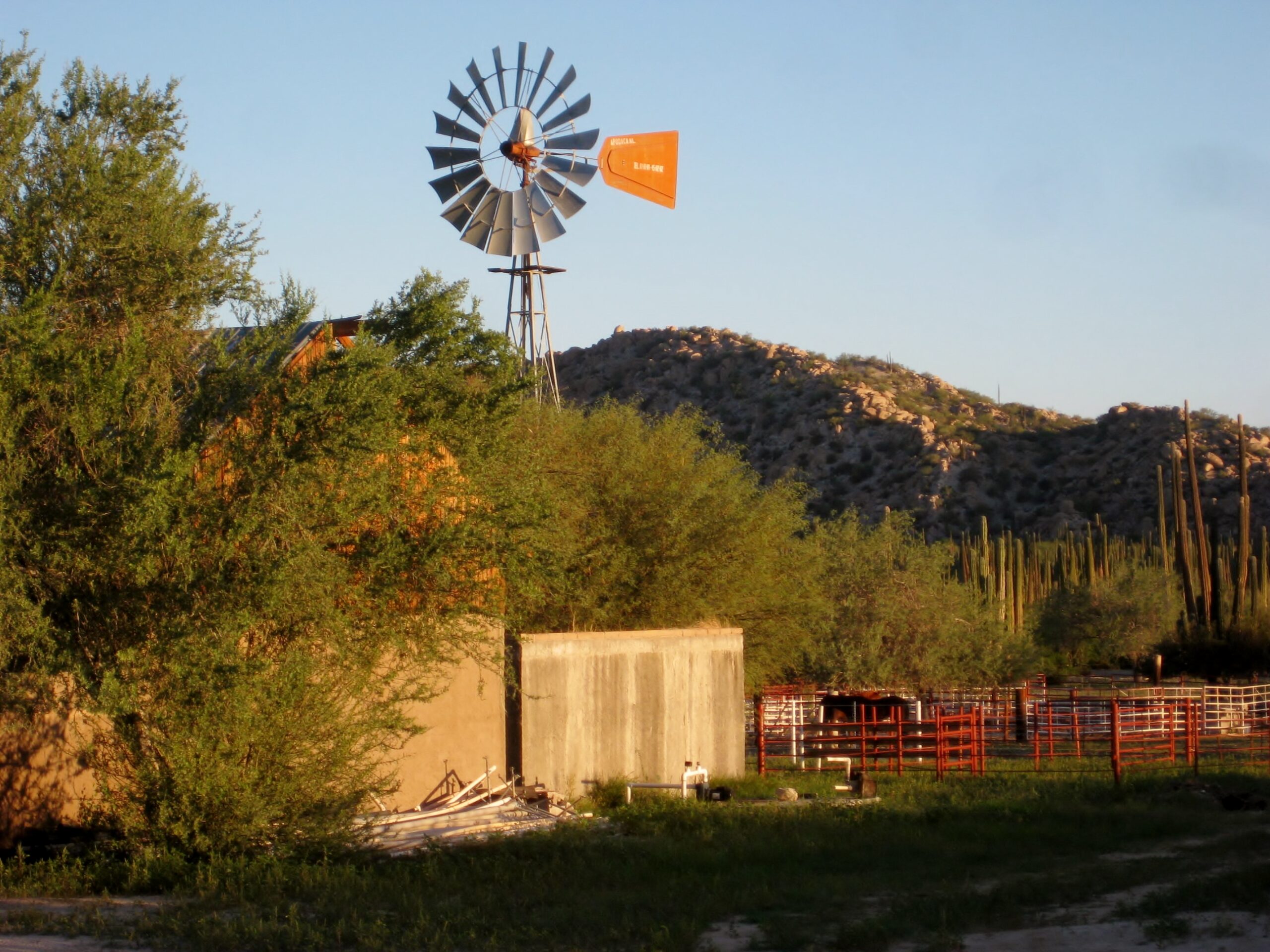
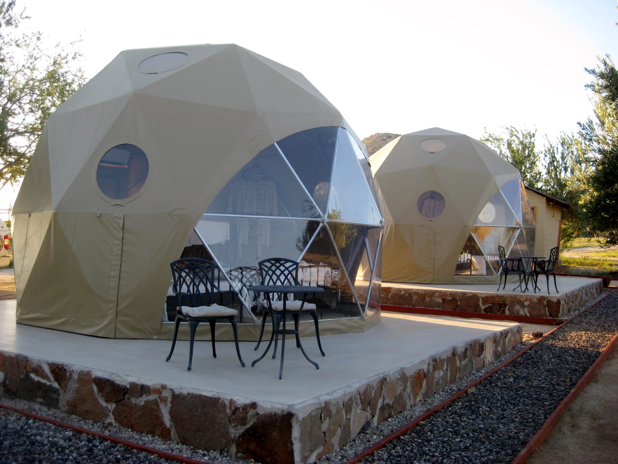
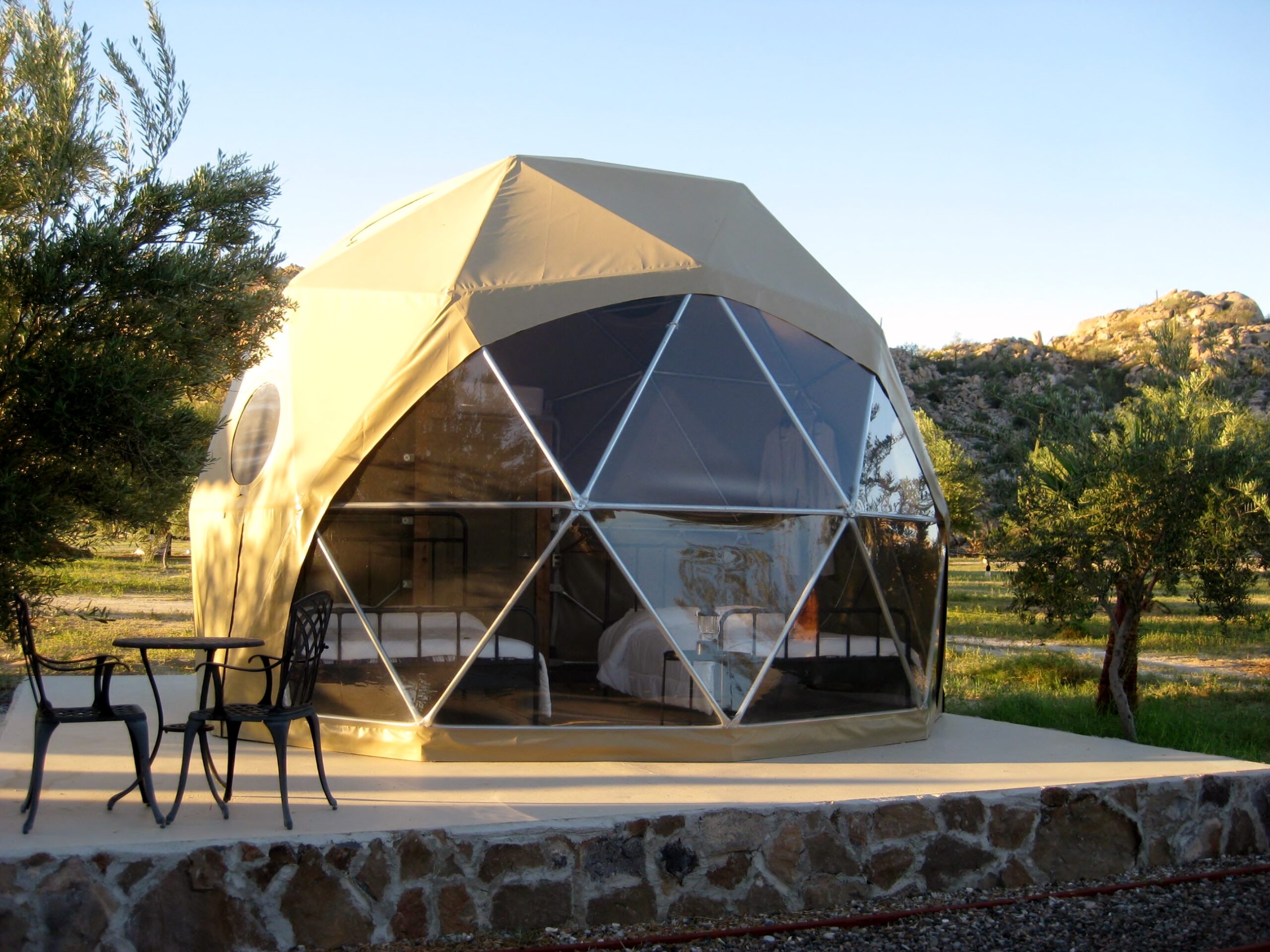
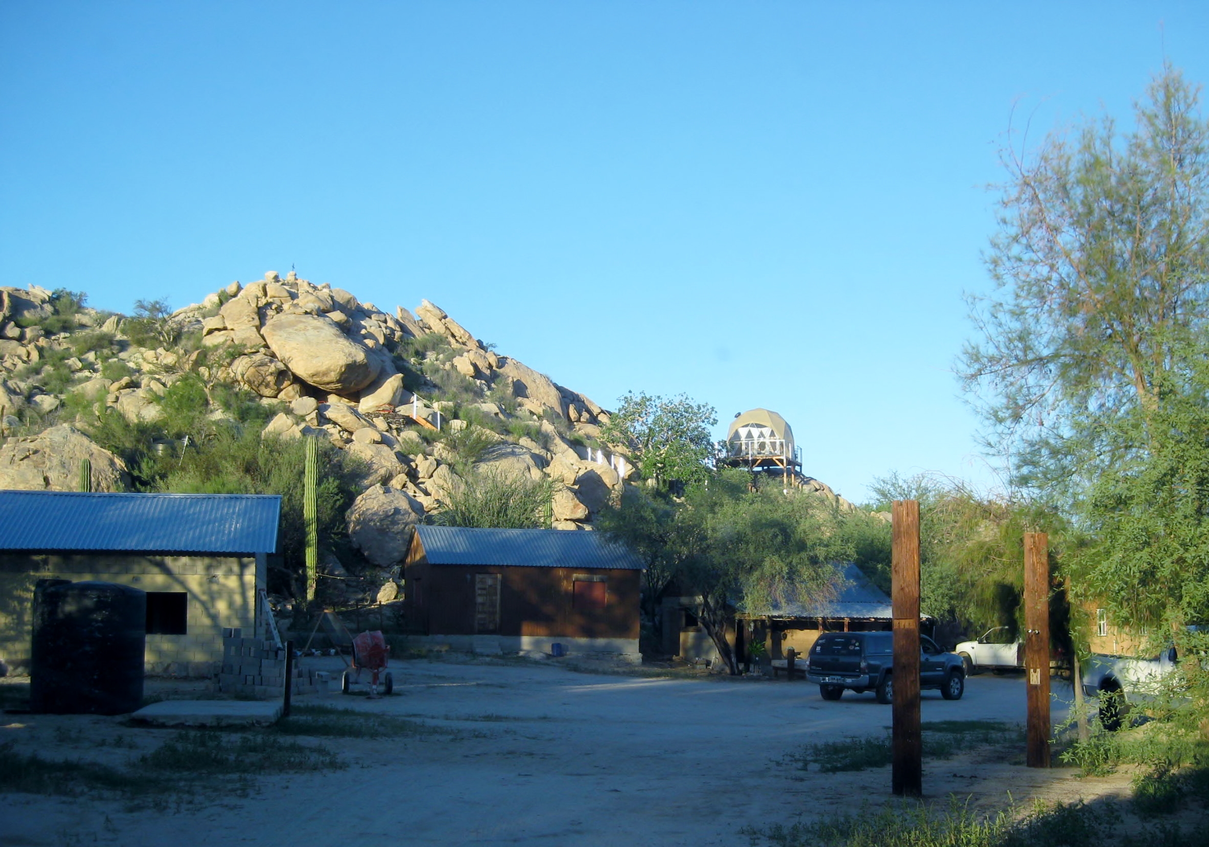
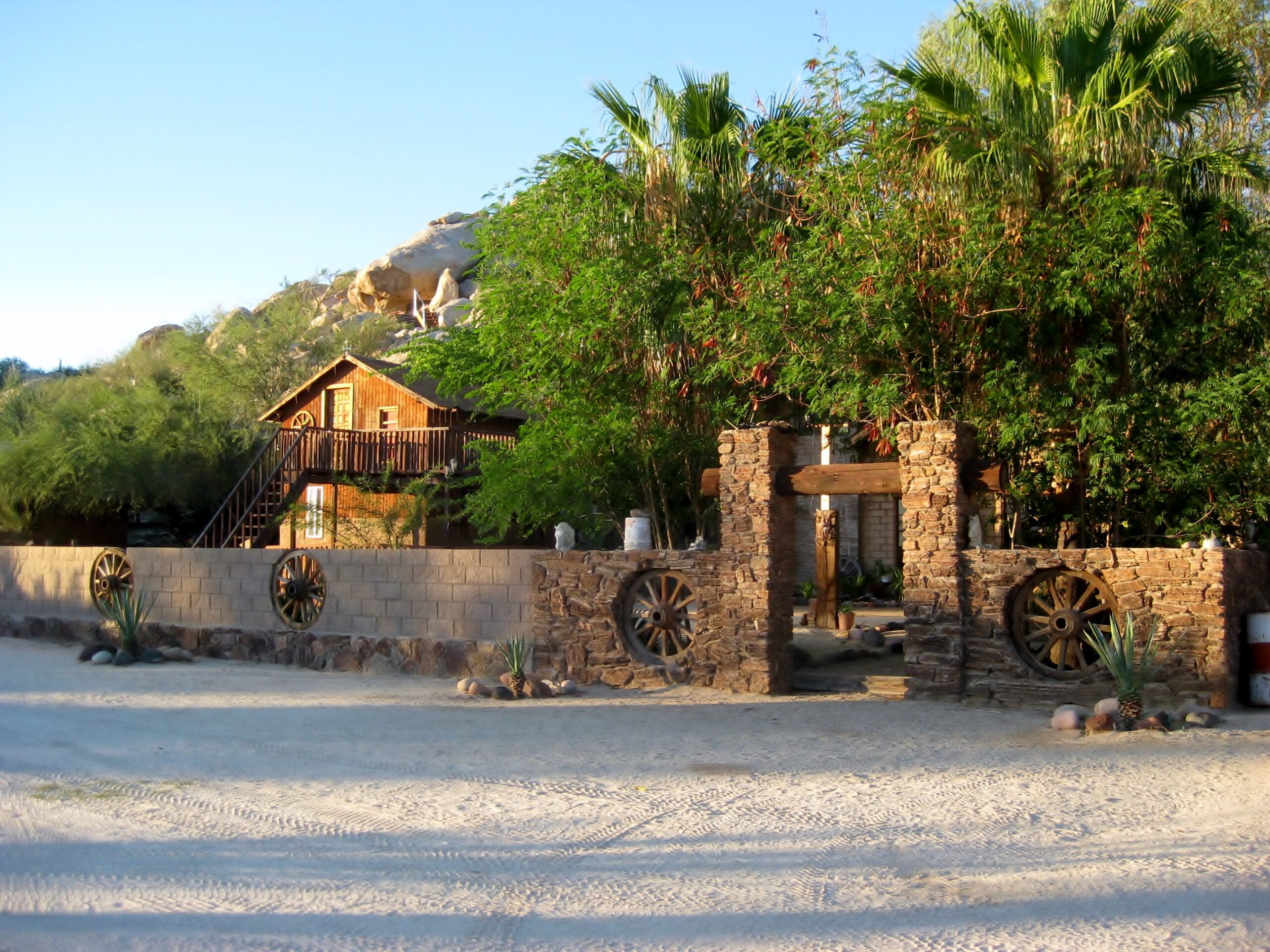
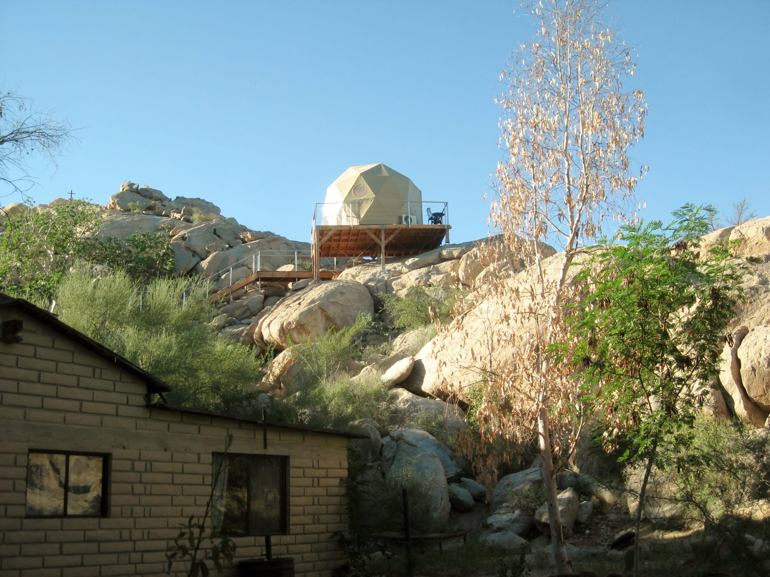
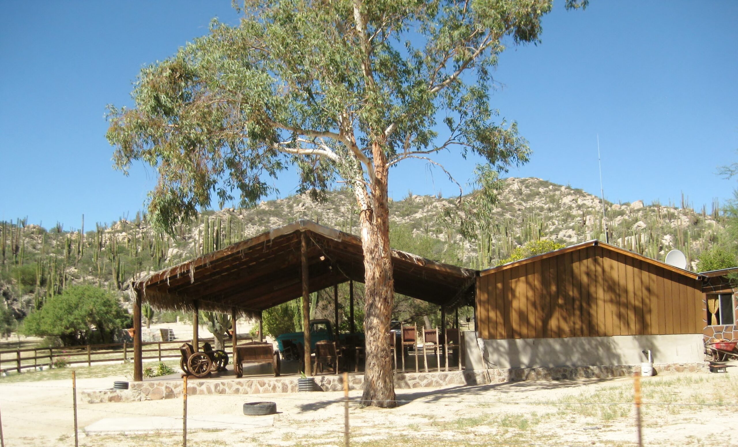
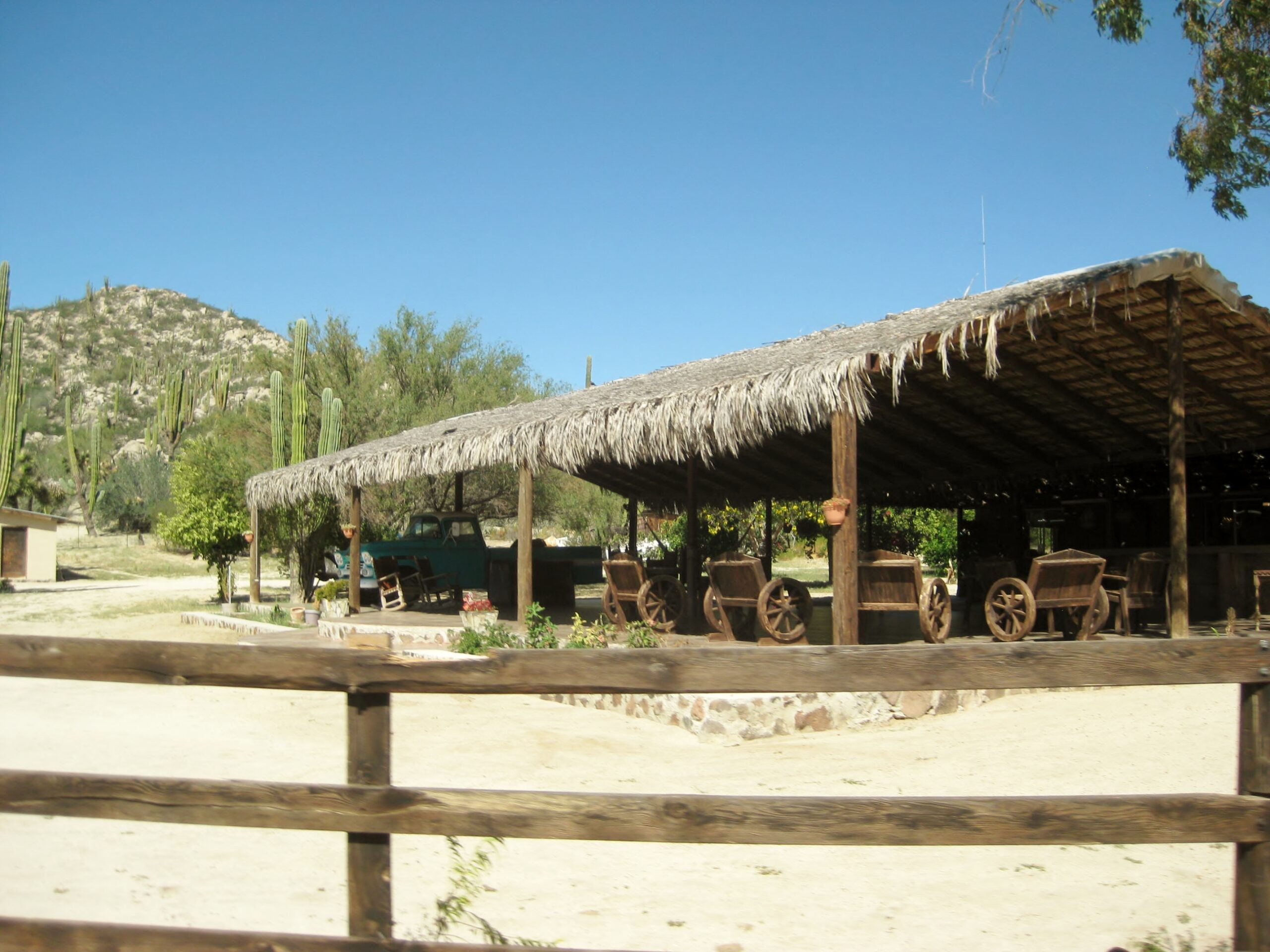
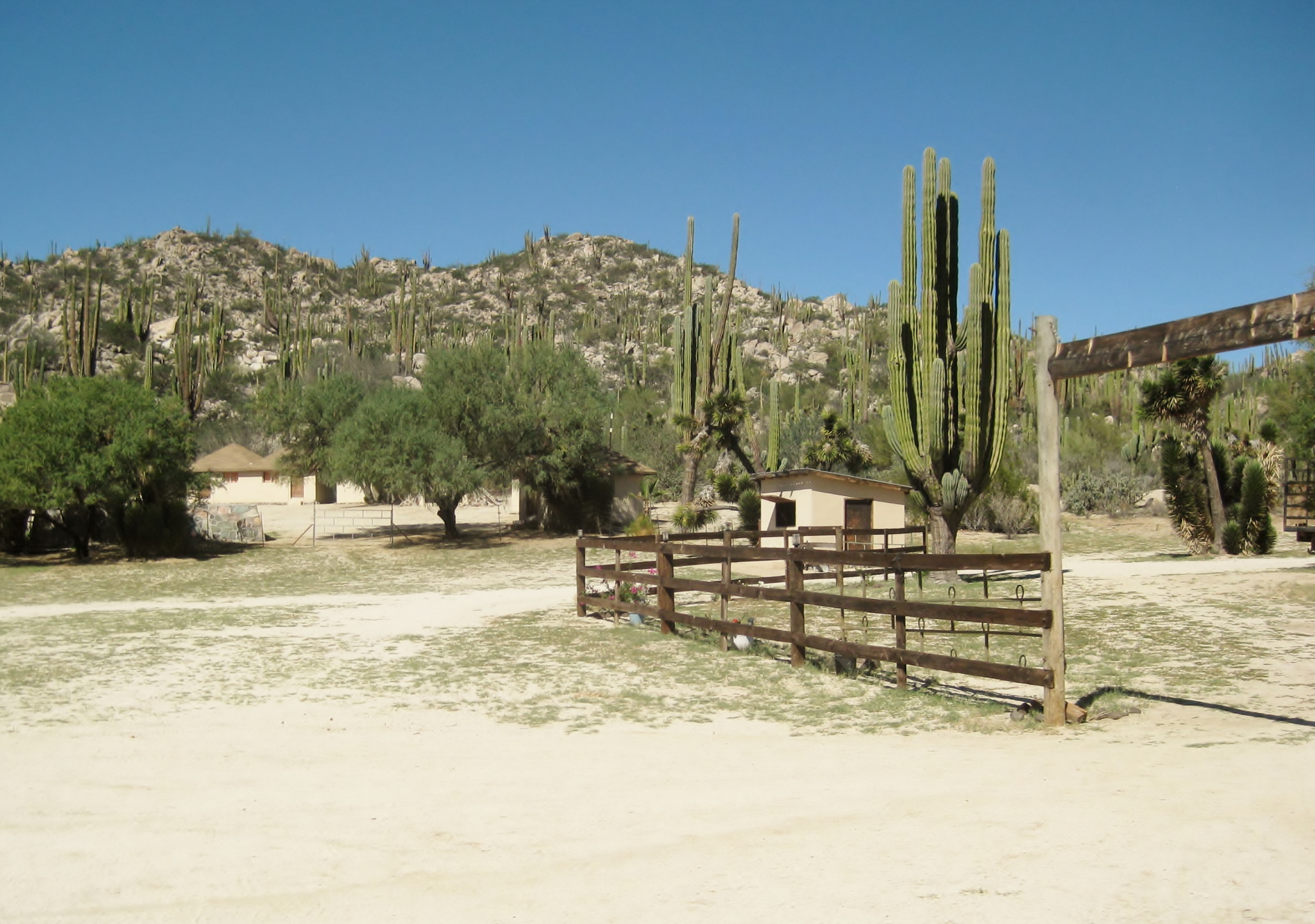
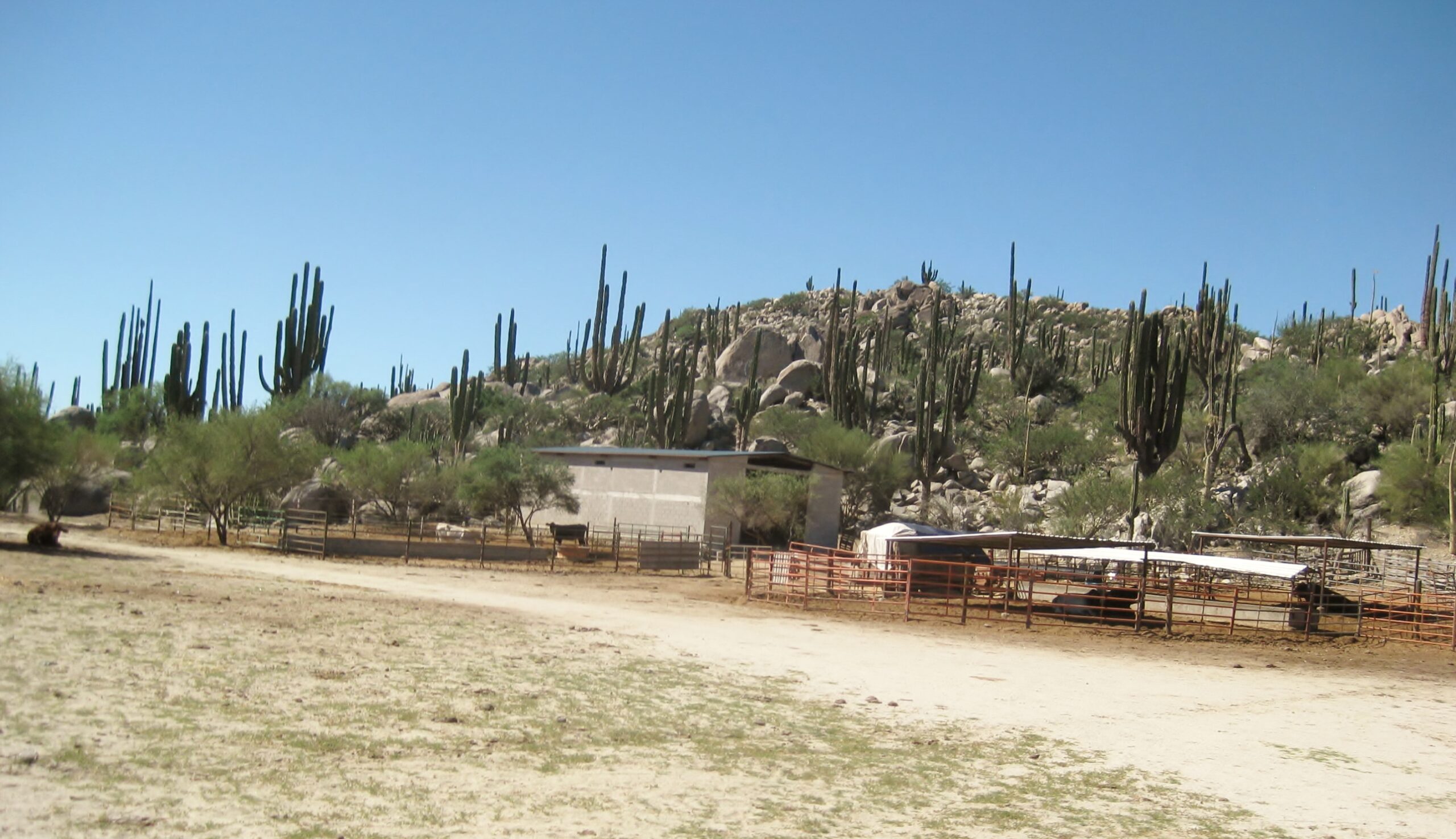
We made it!!! Rancho Escondido a working ranch with guest accommodations, ‘glamping’


These fancy yurt-like tents have two beds, lighting, air conditioning (power to 10 pm), and there are remote bathrooms with showers. 2,500 pesos/ night (we were given a group discount, 500 off).

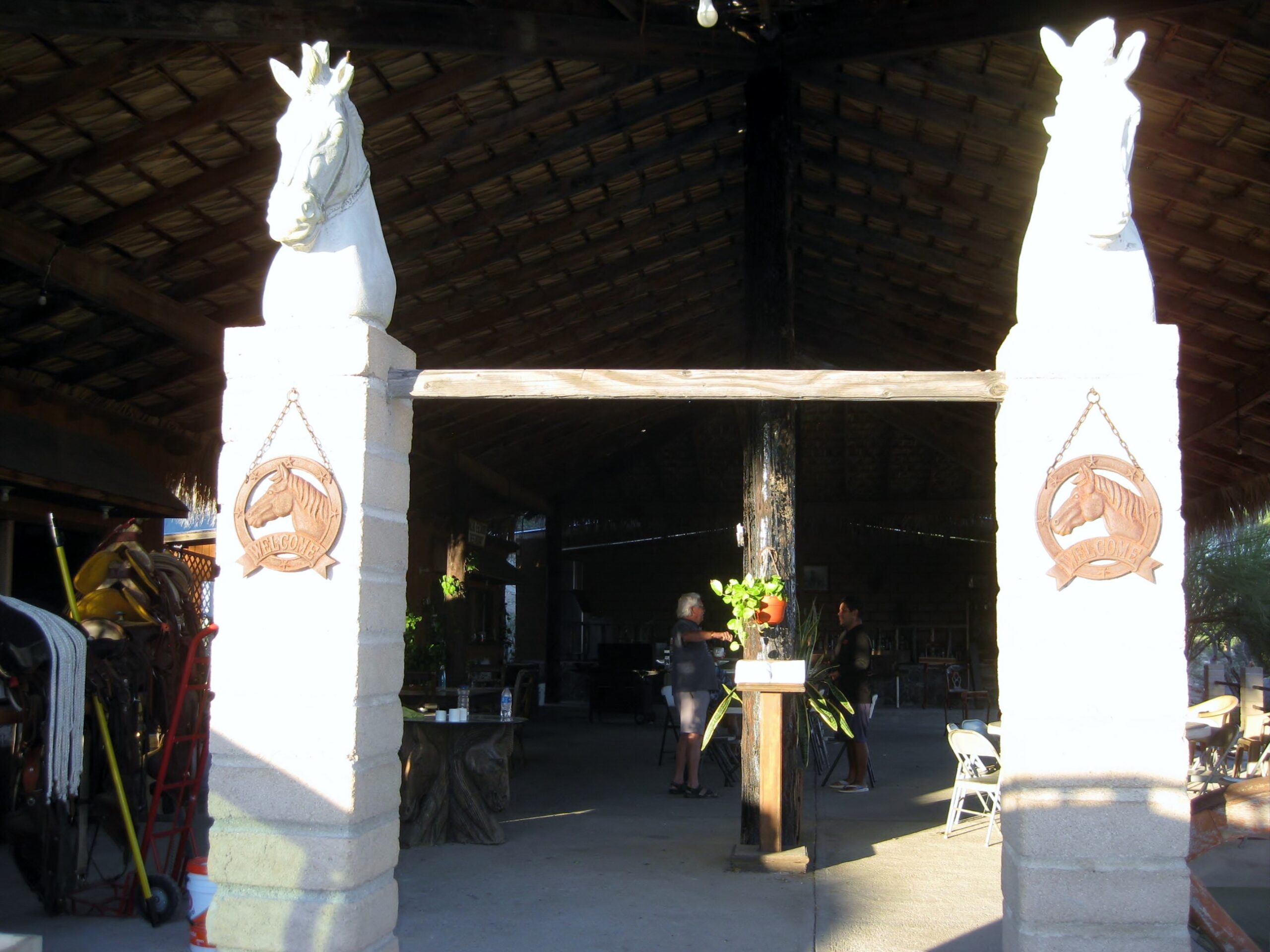
Community dining room. The food was excellent. We had steak asada for dinner and ham & eggs for breakfast.

East to Punta San Francisquito & Puerto San Francisquito
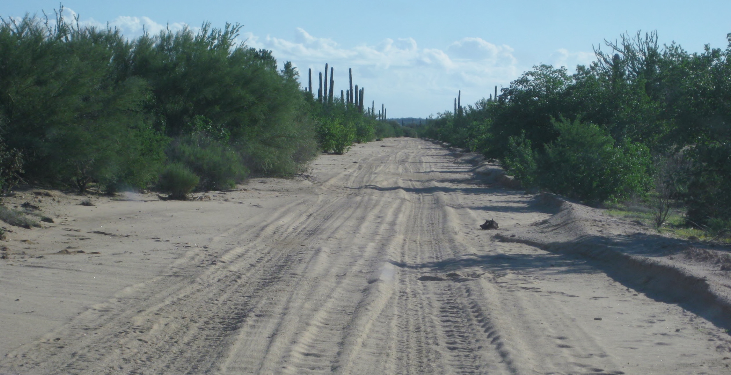
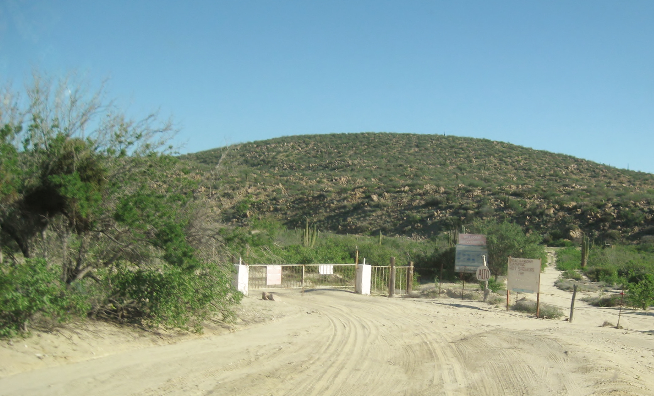
We went left here, through the unlocked, cattle control gate. The right fork goes to the old fly-in resort of Punta San Francisquito. This time, a locked gate blocked this road a short distance away.

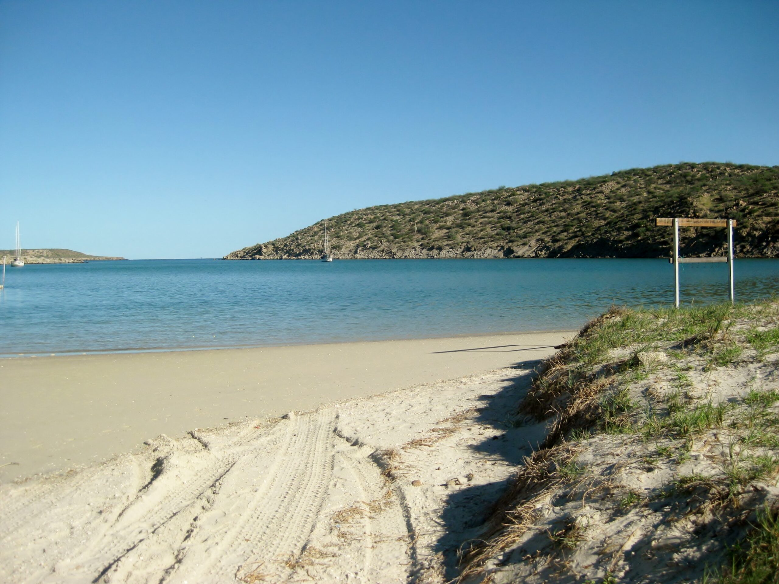
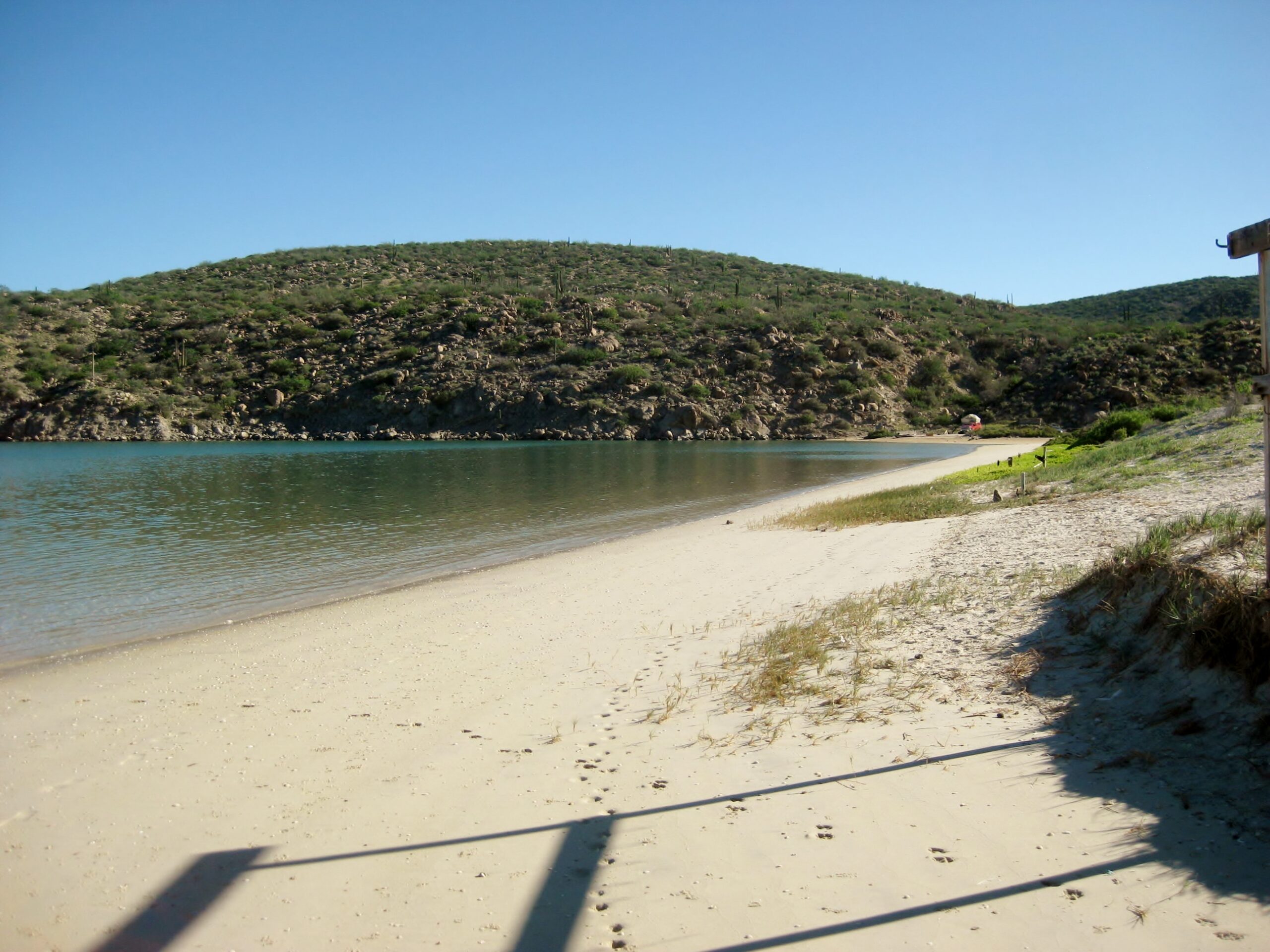
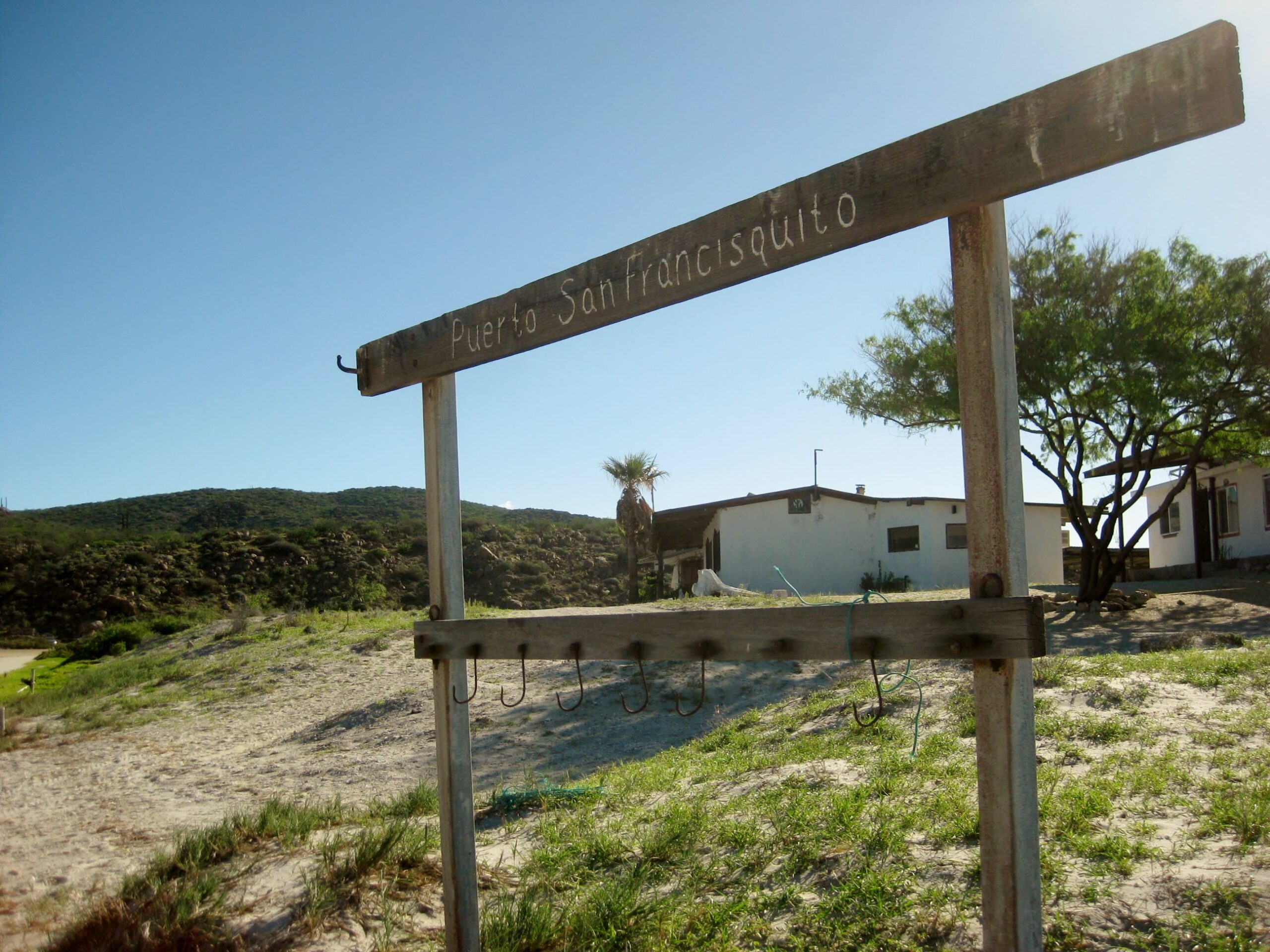
Puerto San Francisquito, also known as “Beto’s”
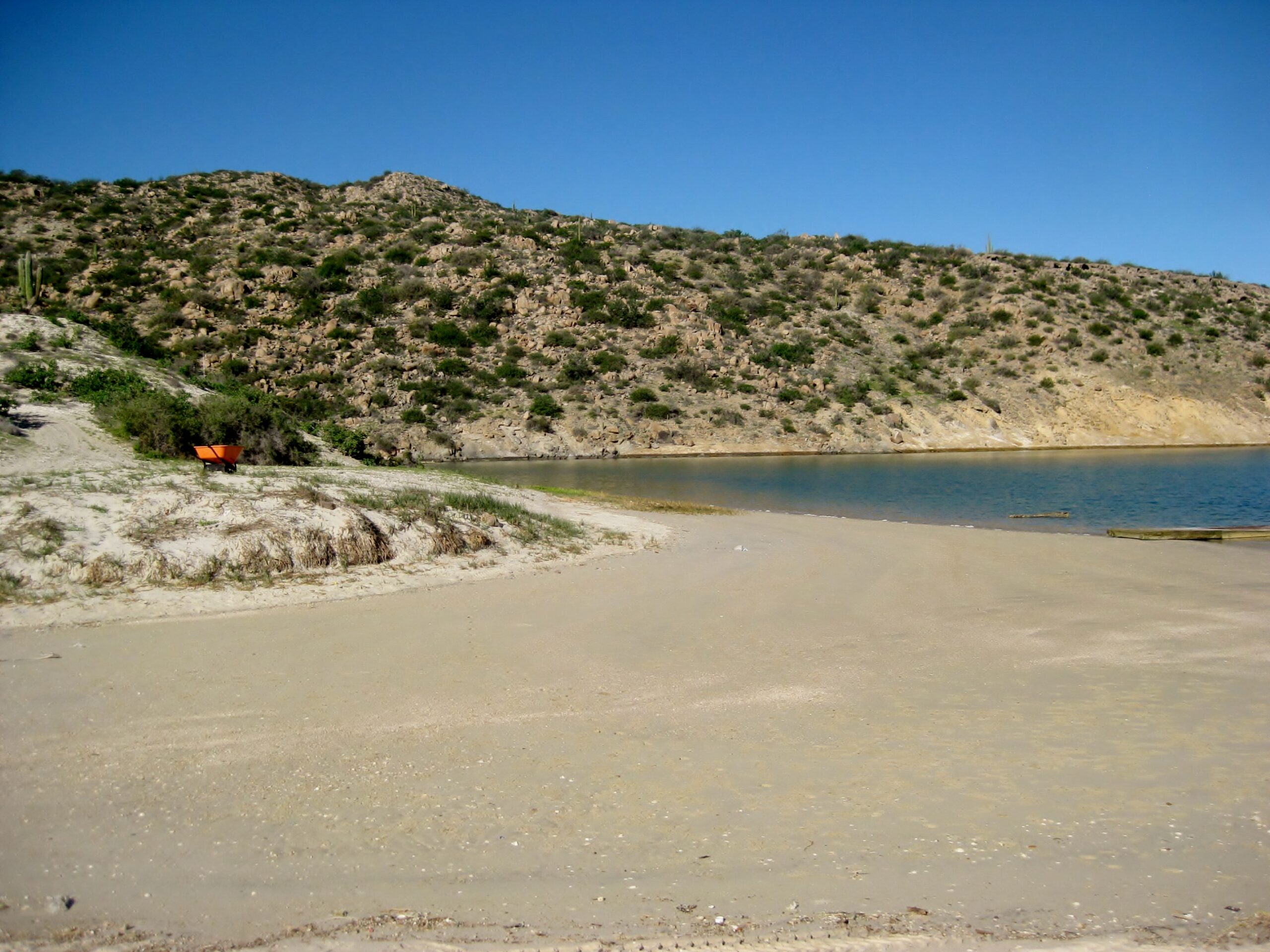
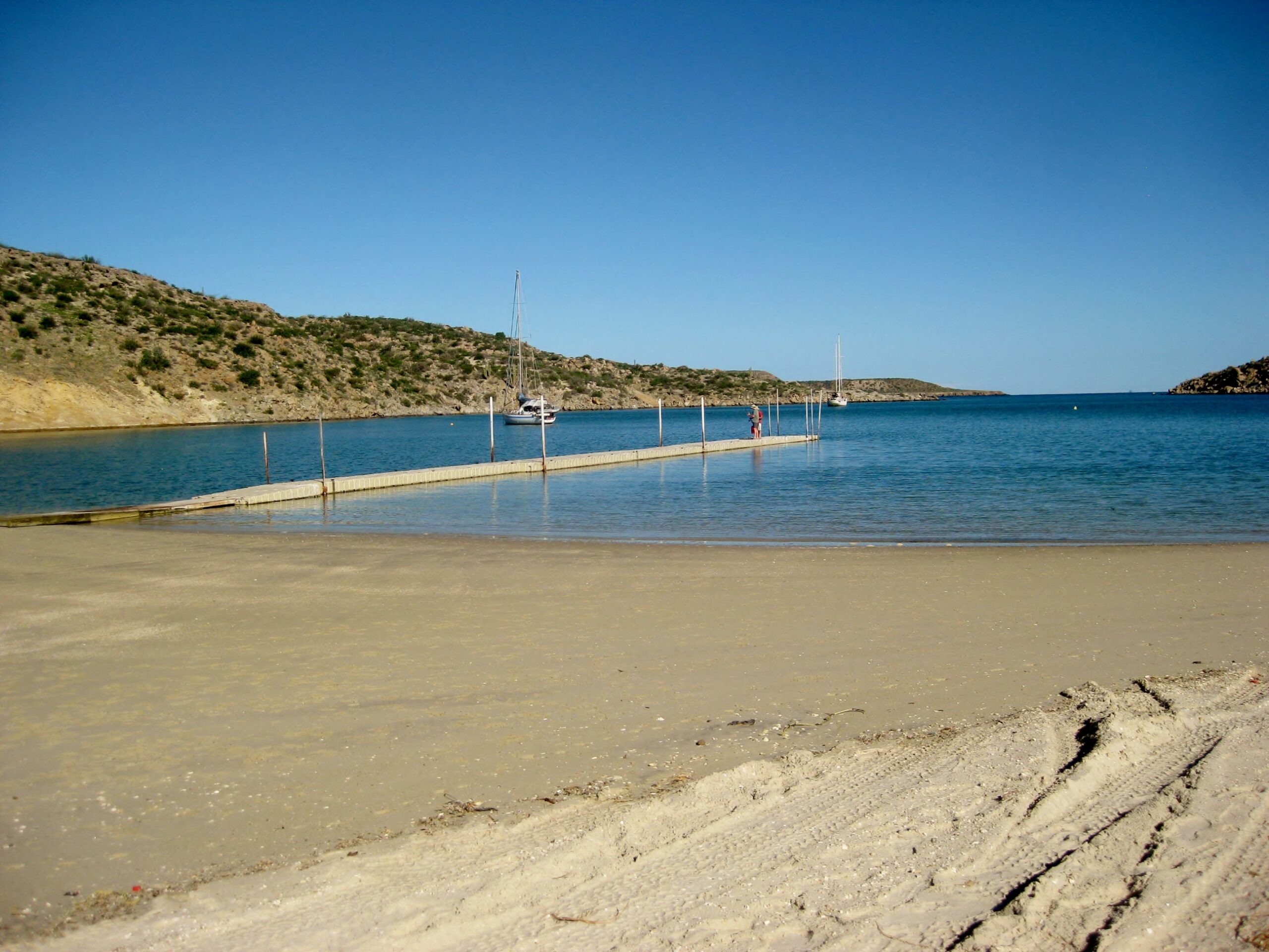
Jessica, Mike Jr., Heather, Mike Sr. 


Now going west from San Francisquito, towards El Arco
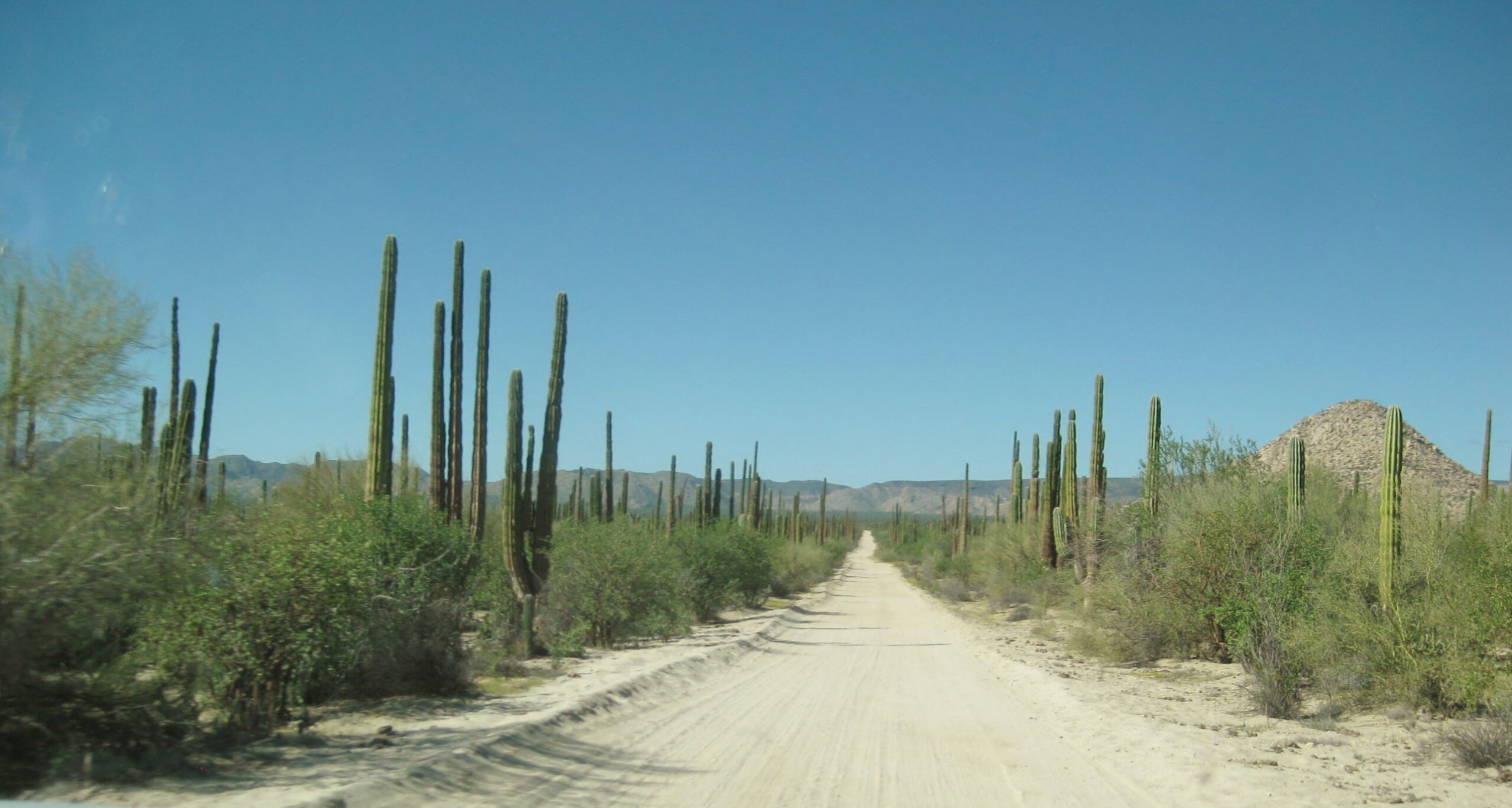
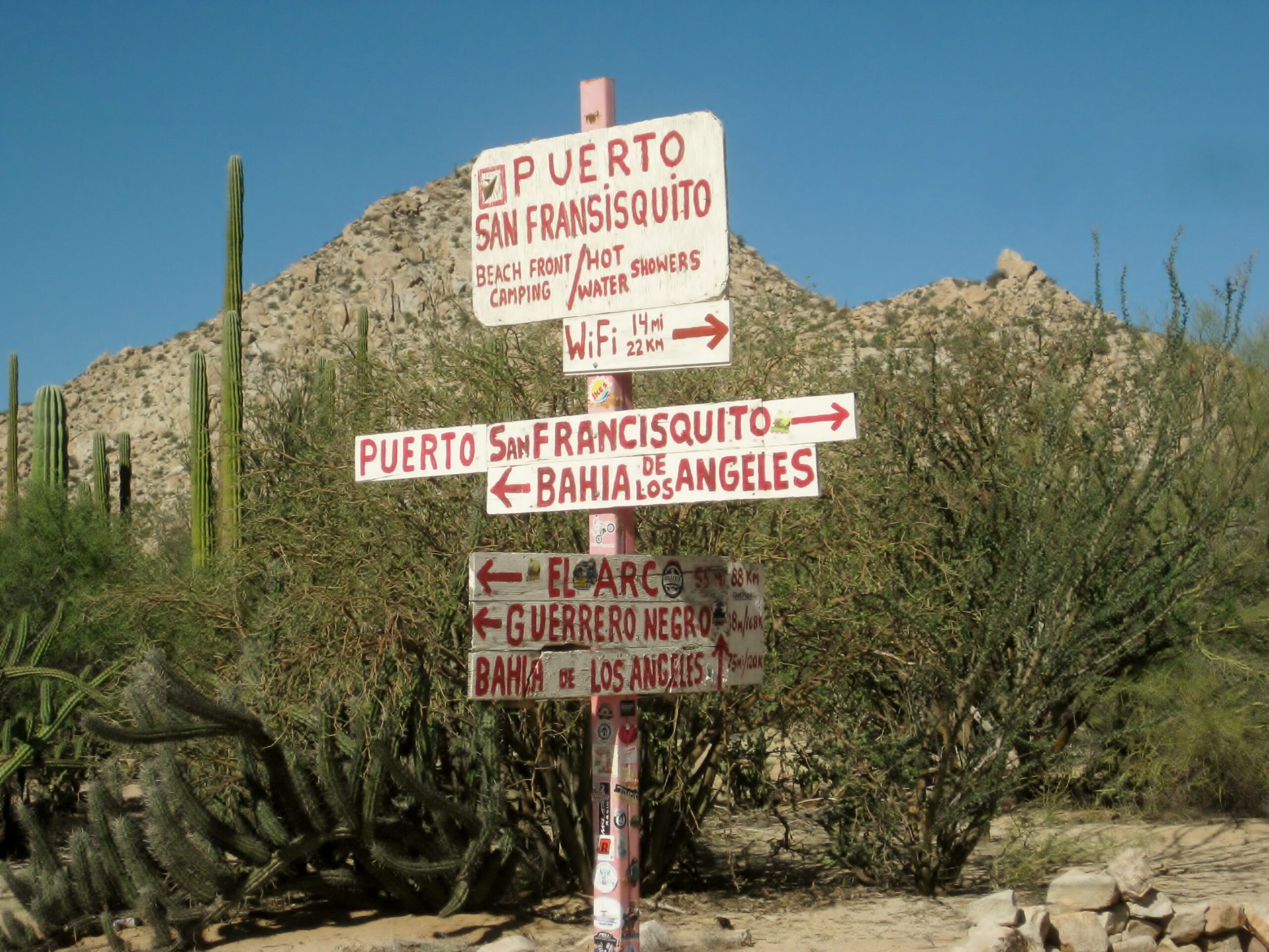
Well-signed, three-way road junction at K110 (near El Progreso) on the following map.

This road has always been one of the fastest dirt drives in Baja.

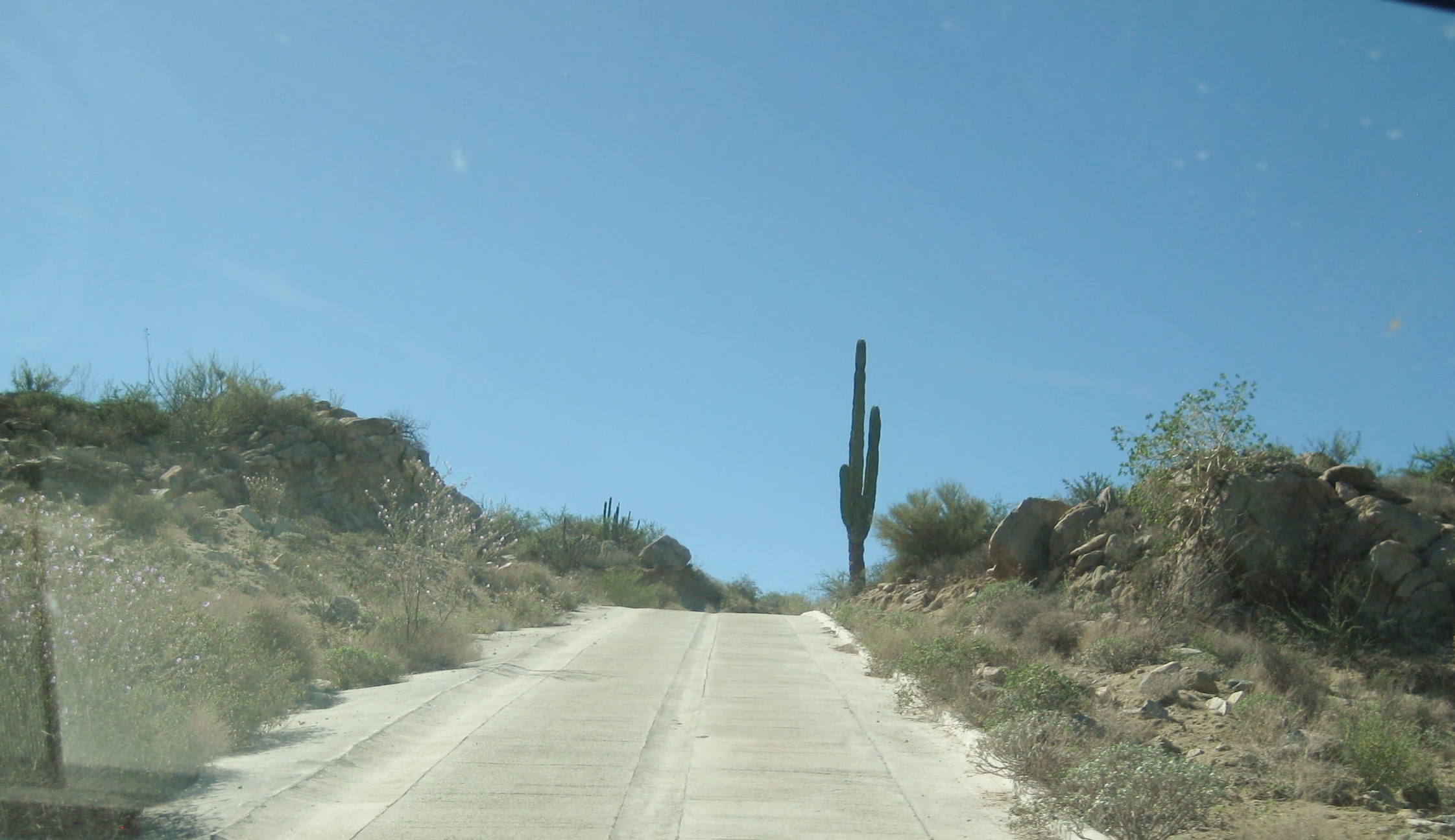
The steep grade is ‘Cuesta de la Ley’ and was paved around 2015-16.

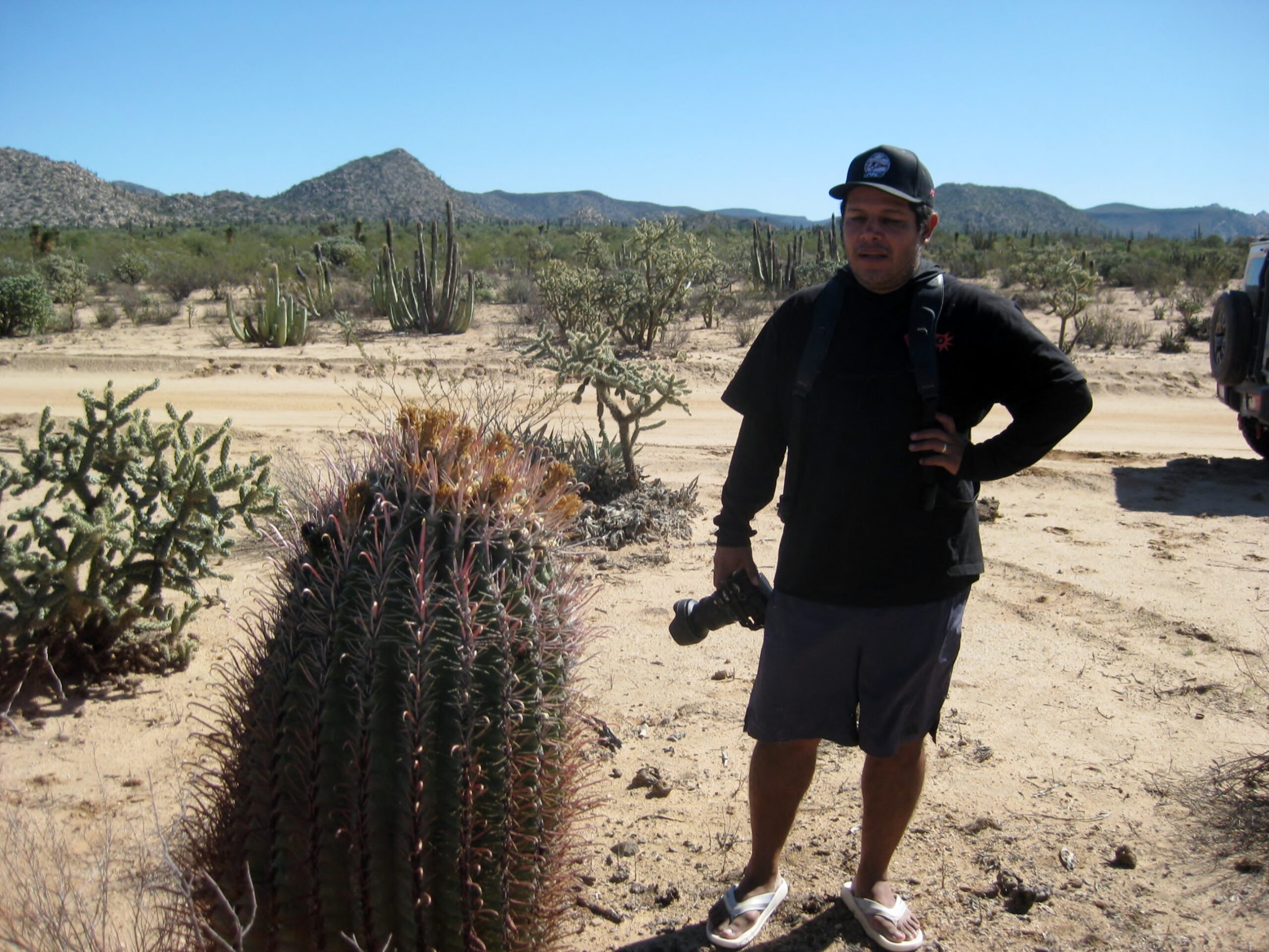
Marcos, using a camera and drone, is making a video of our adventure. Some clips are already done, as I type this.
Caravan stop to stretch the legs.

Rancho Piedra Blanca

Like Rancho Escondido, this is a working and guest ranch, with cabins. Today, not looked very busy.

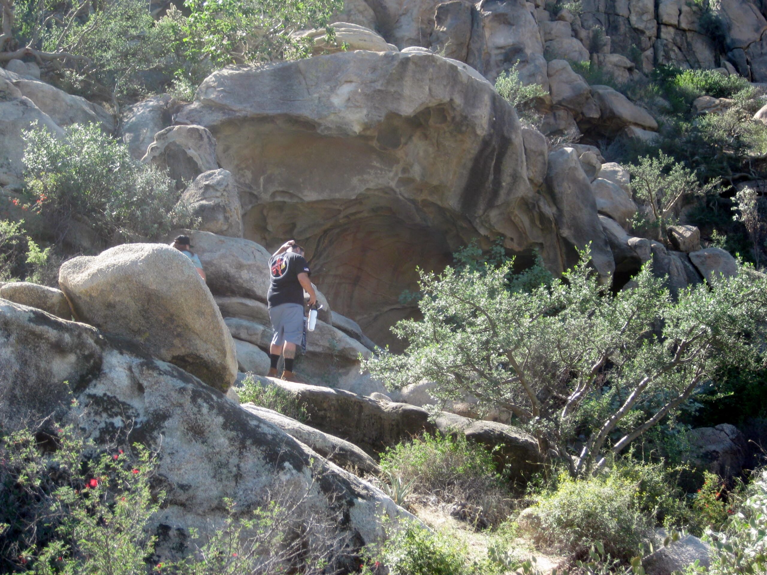
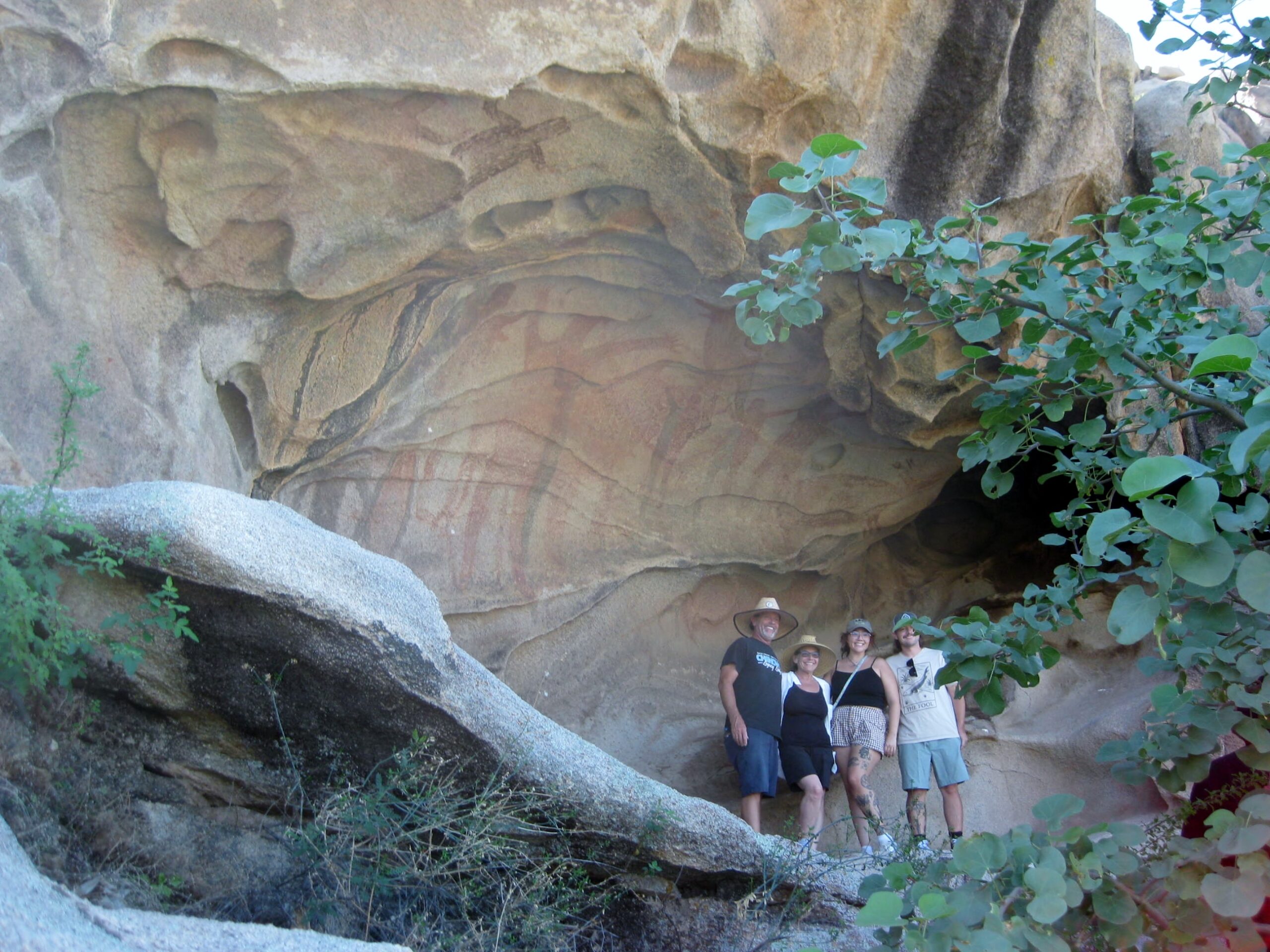
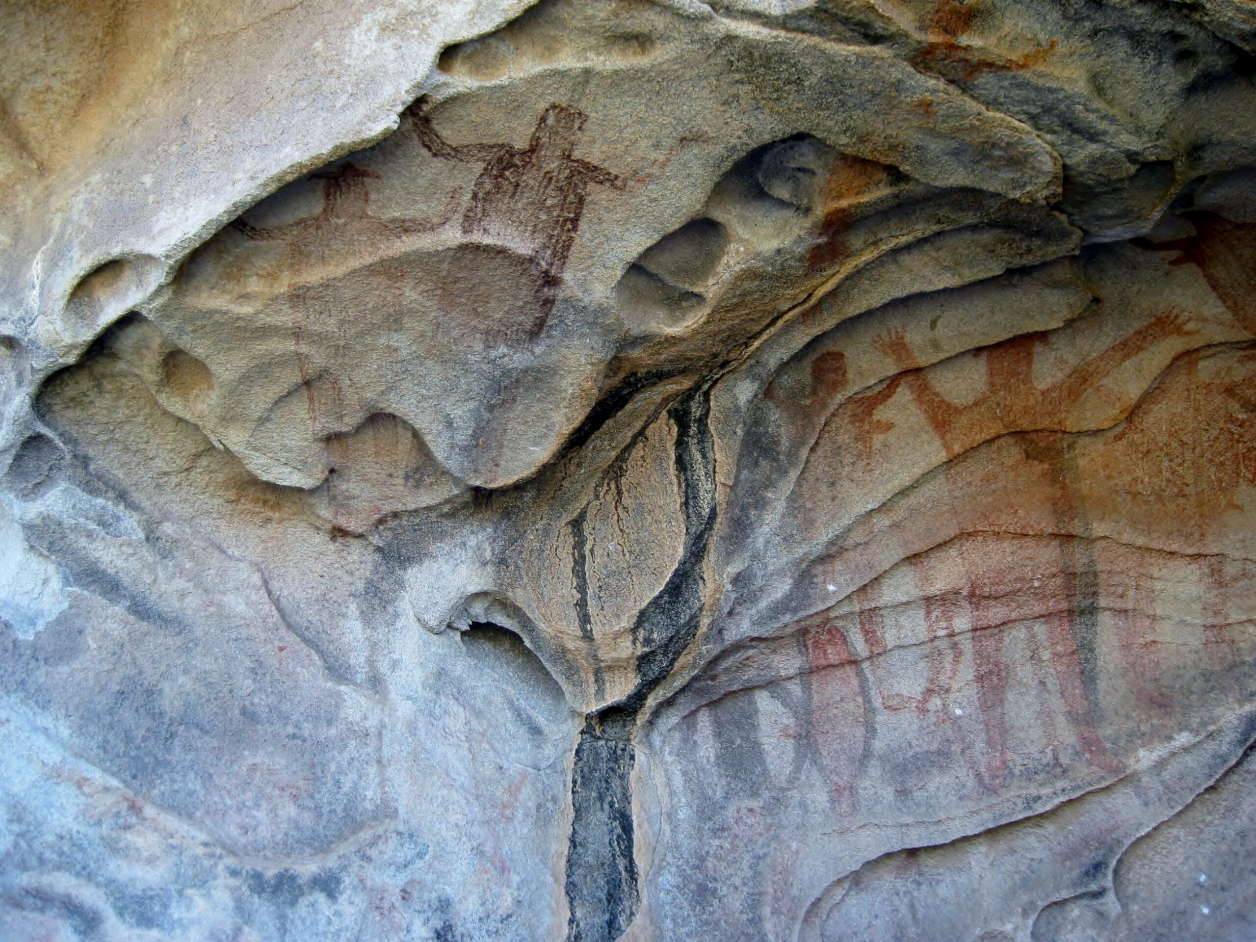
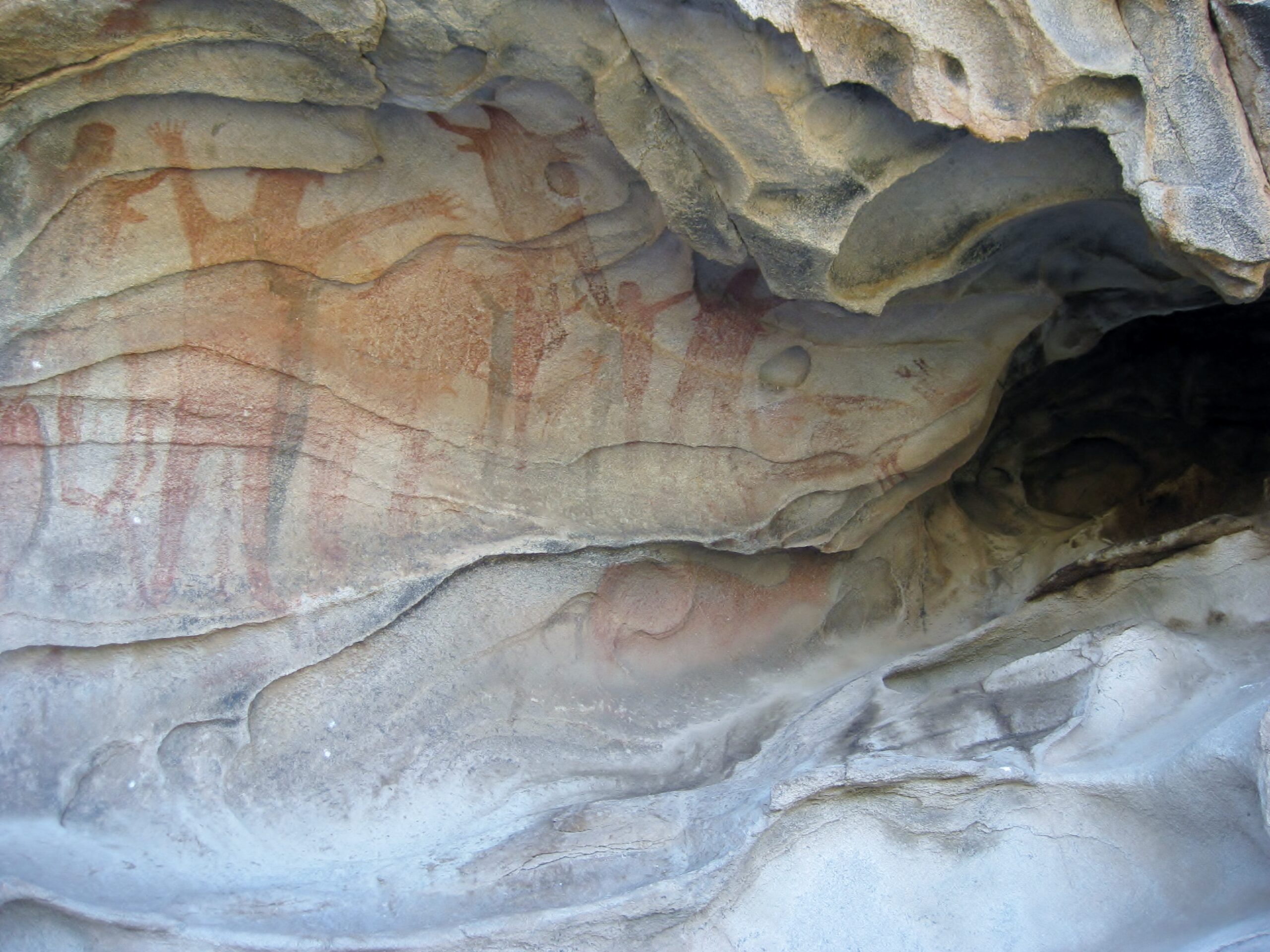
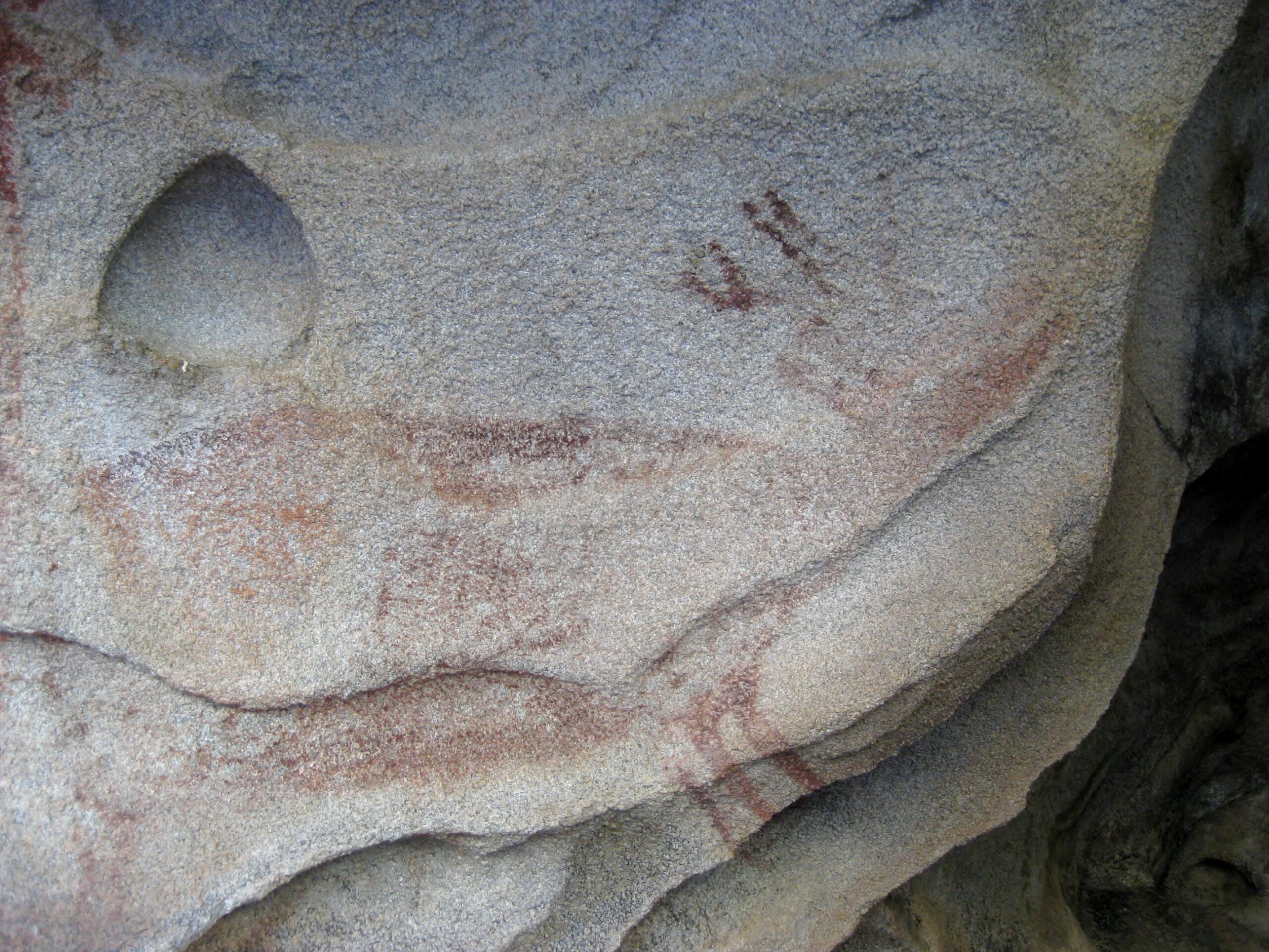
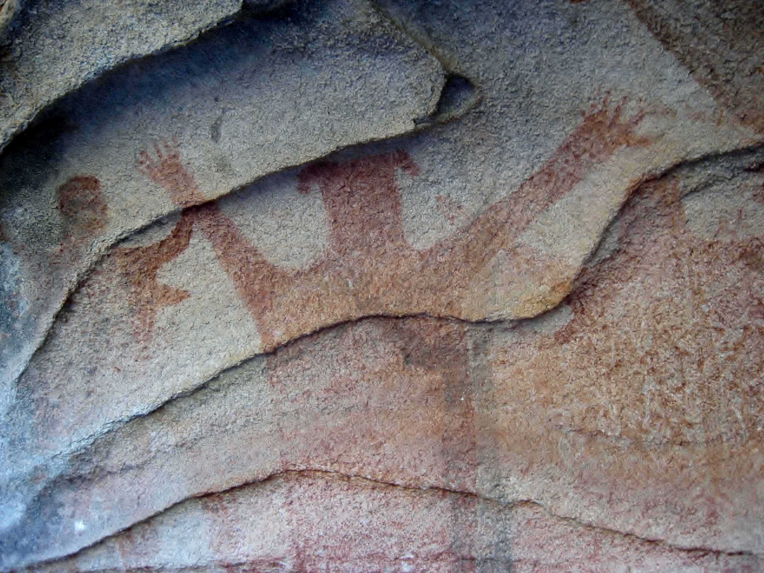
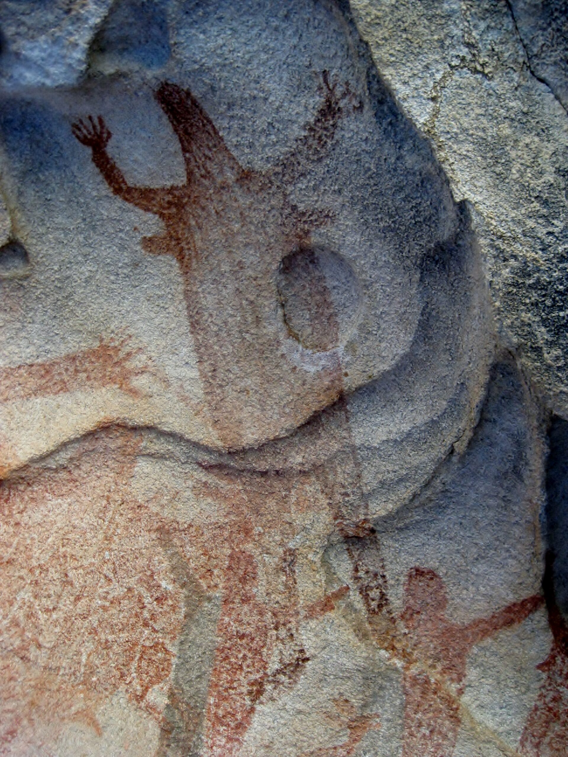
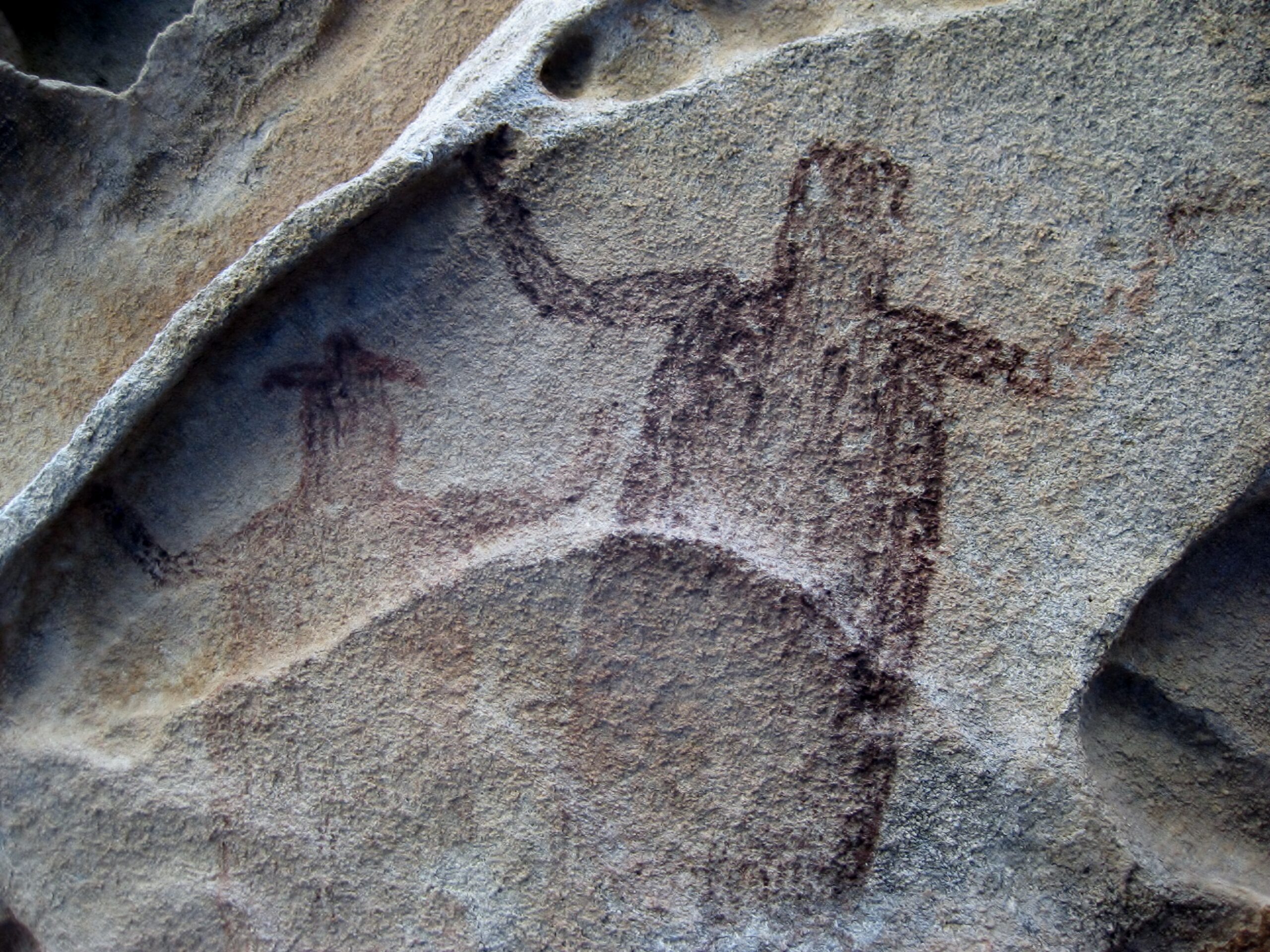
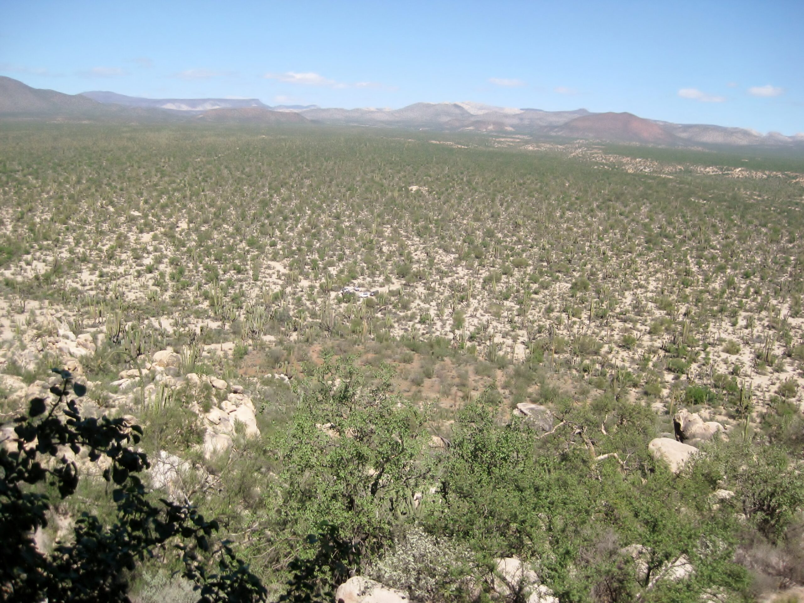
The Painted Cave of Mesa del Carmen
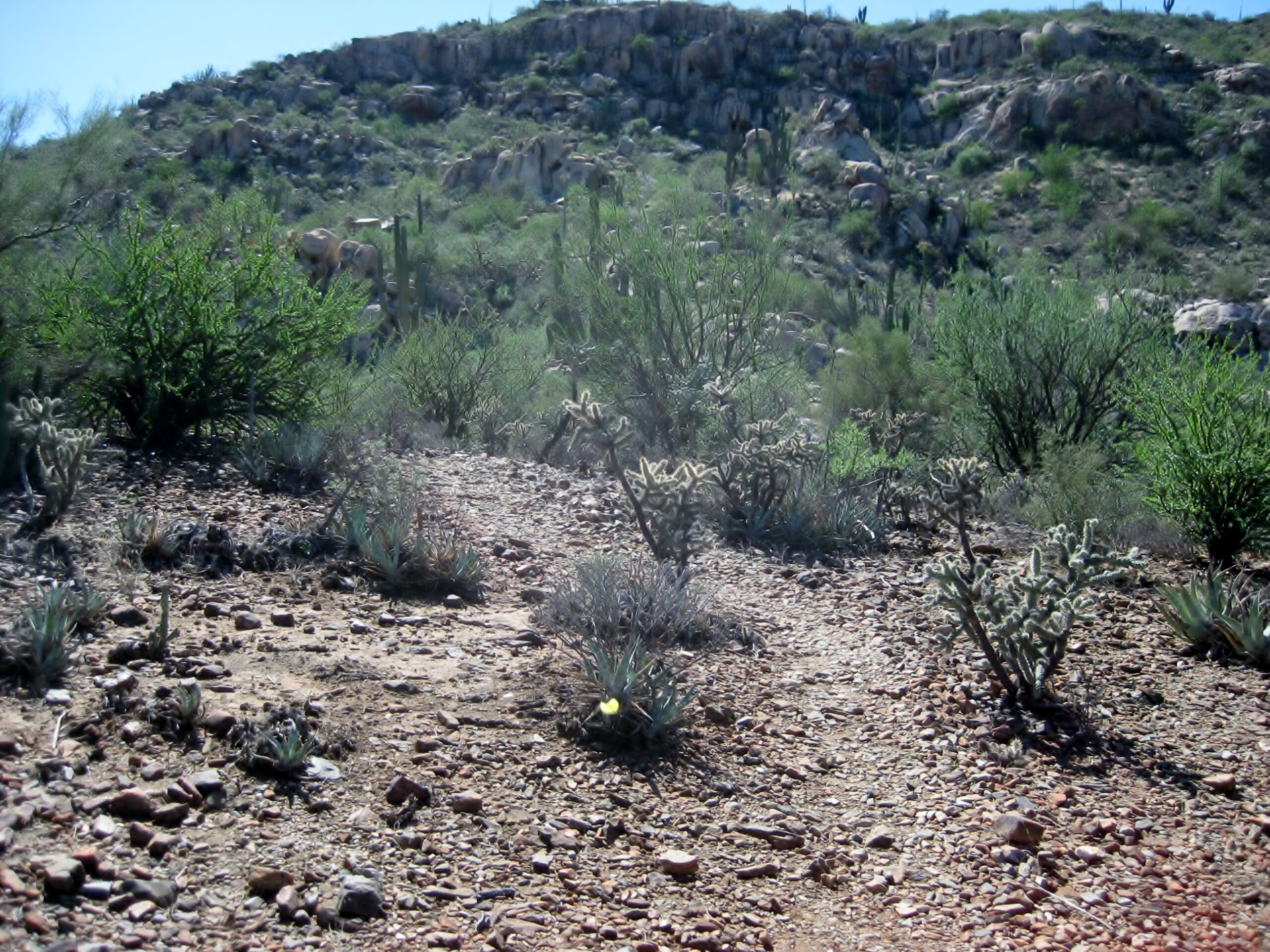
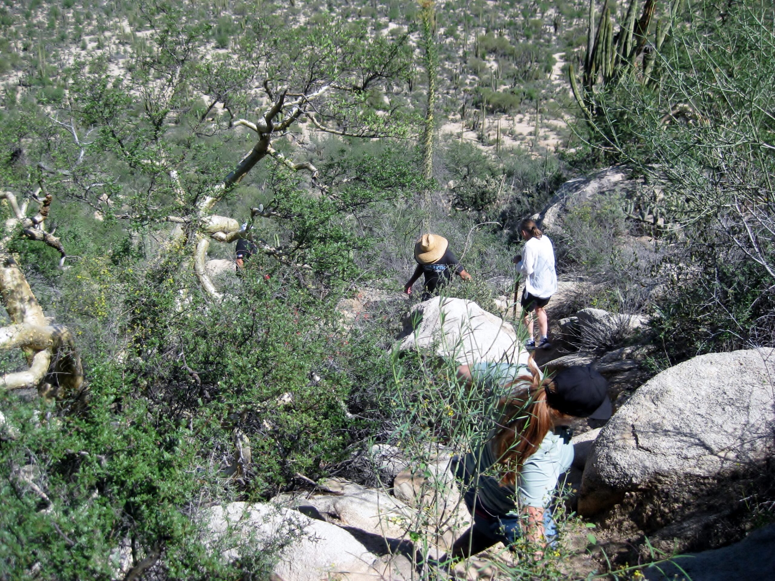
The parking area is a kilometer off the main road and a steep trail goes about halfway up the side of the mesa.

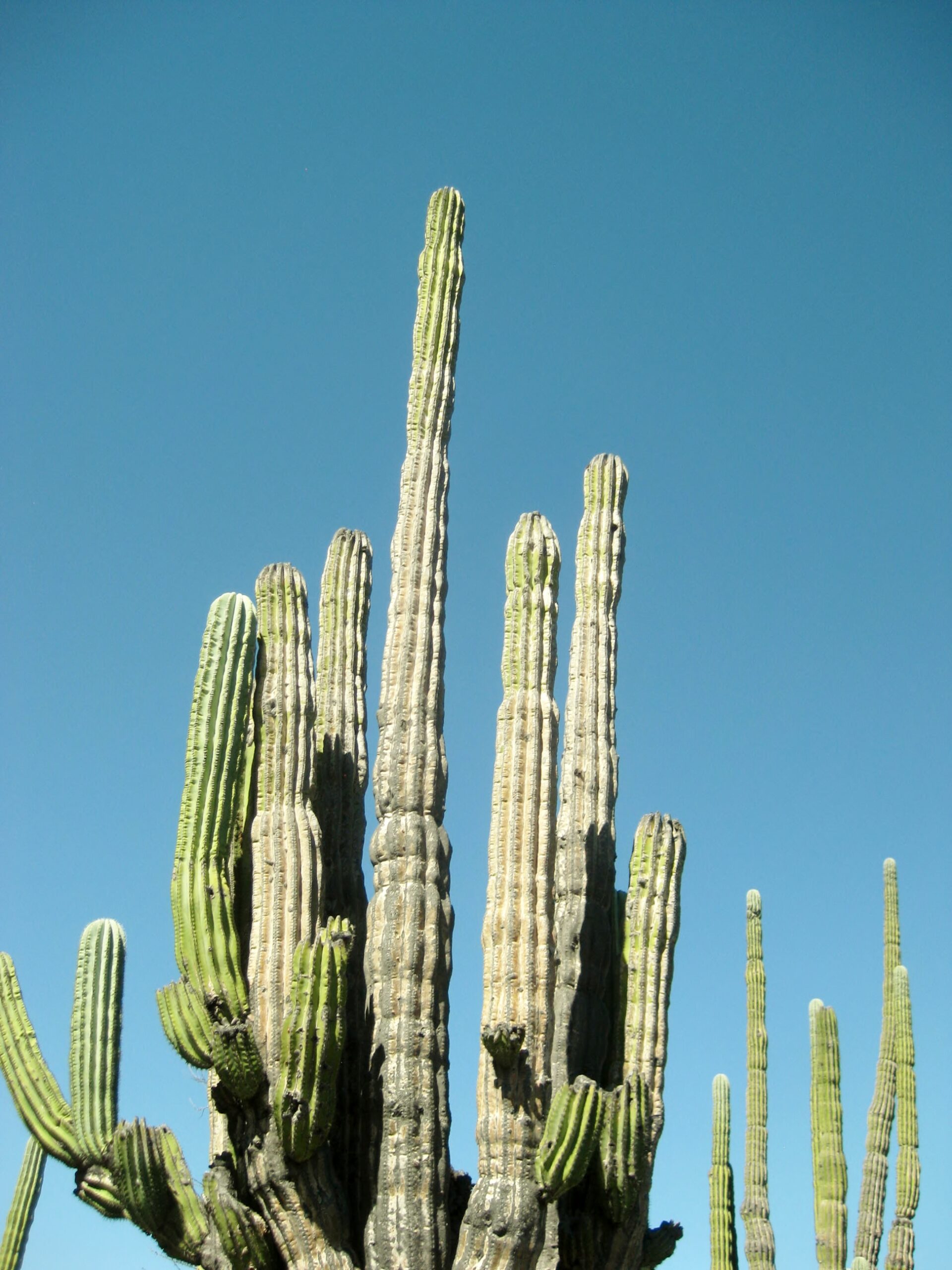
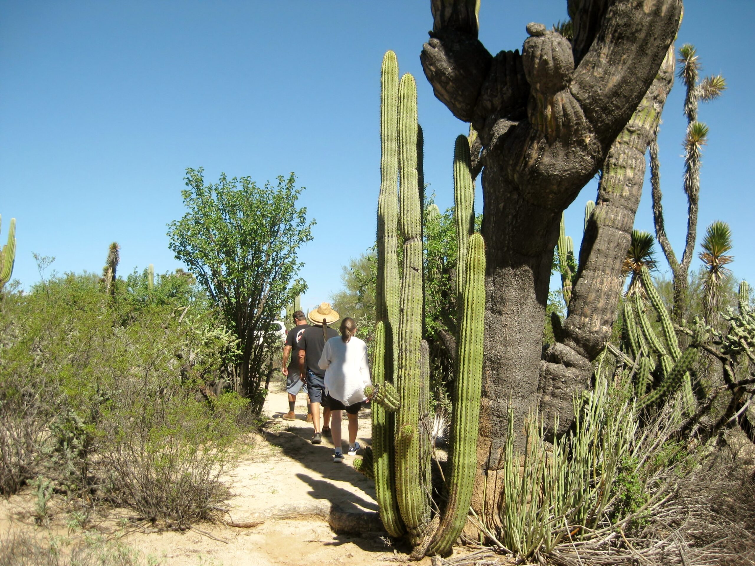
These giants have six fingers! Giorgio Tsoukalos might think they are aliens?

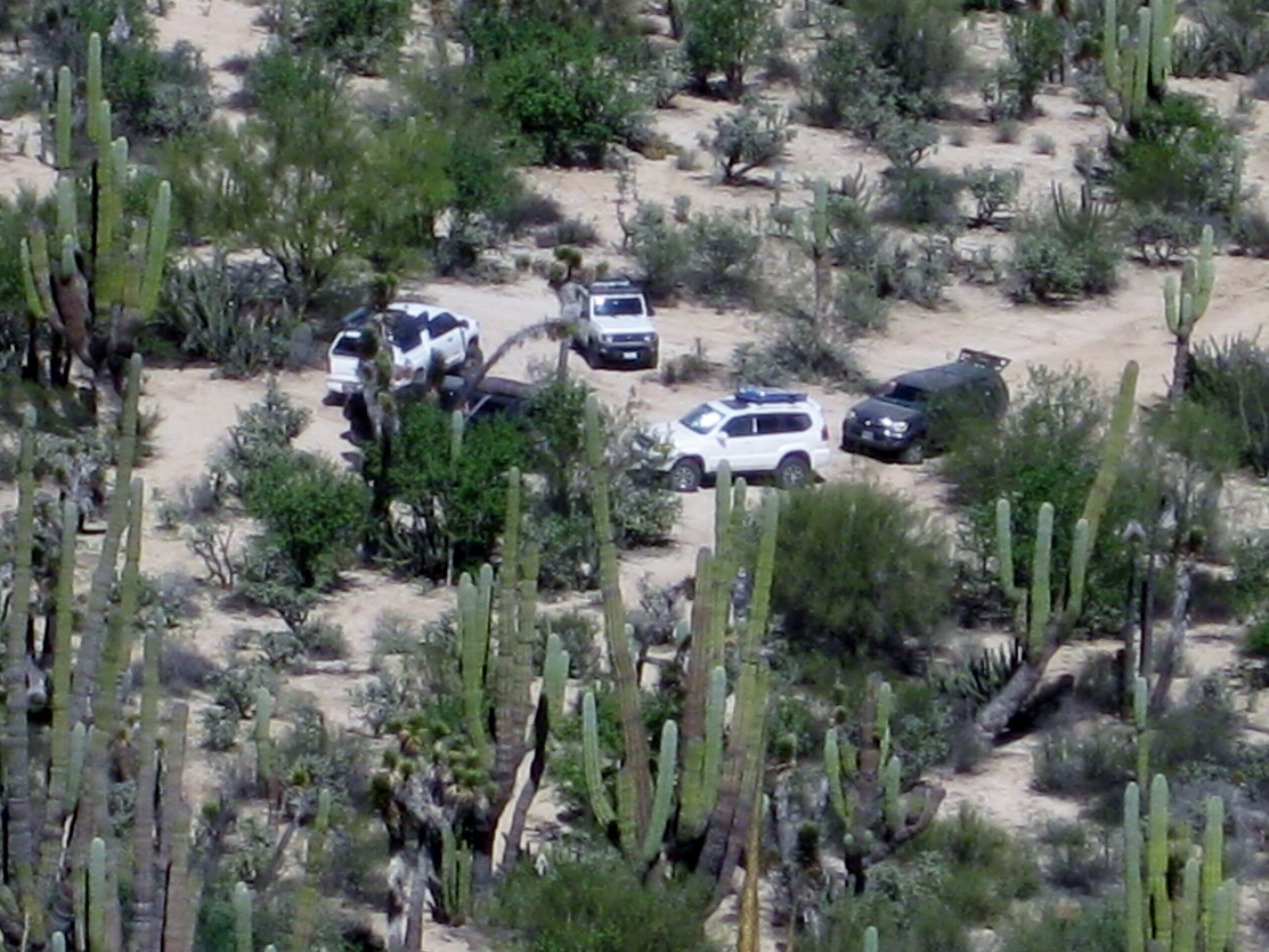
Can you see our vehicles?
Let’s zoom in!

Cardóns are the King of the Cactus World!
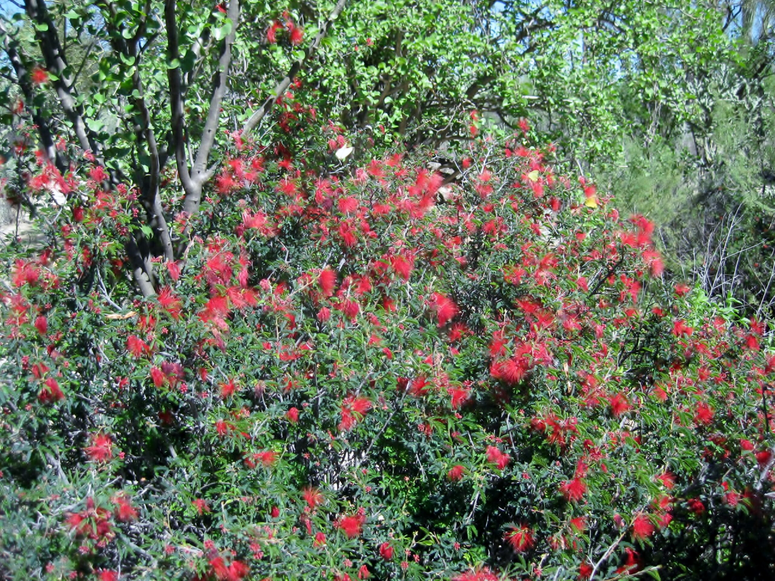
This red flowering bottlebrush-like plant was attracting butterflies and wasps.
Nearing our trucks we are almost at end of the hike.

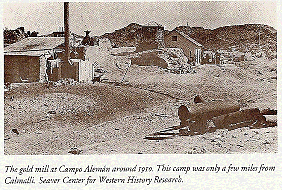
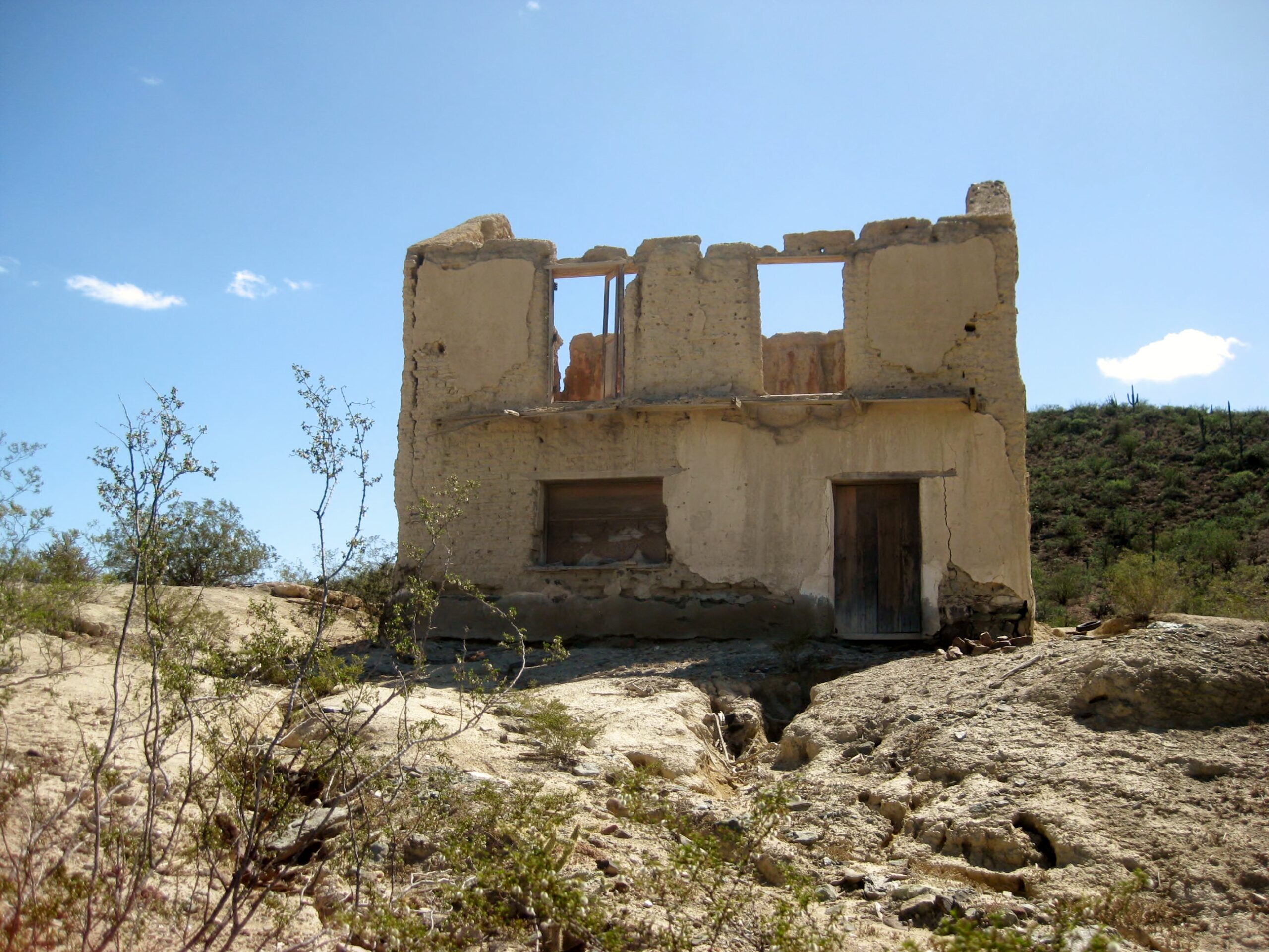
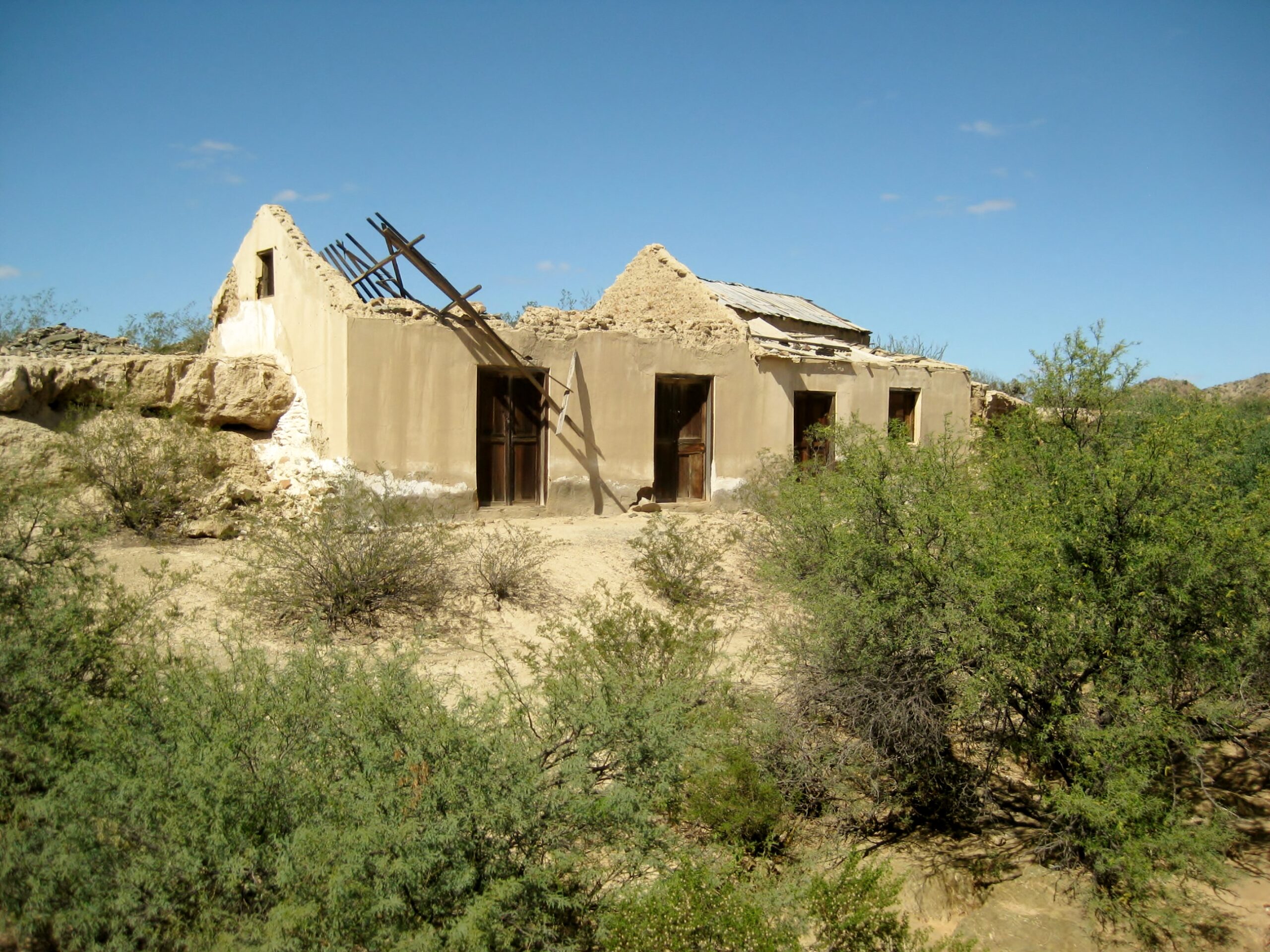
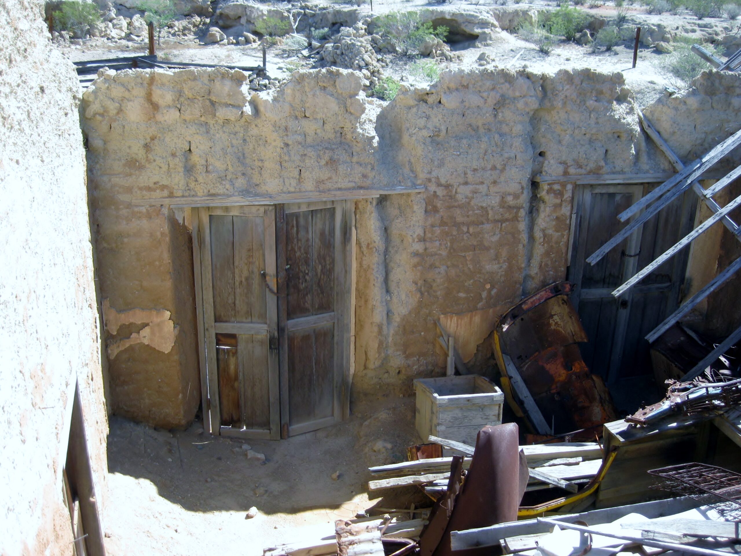
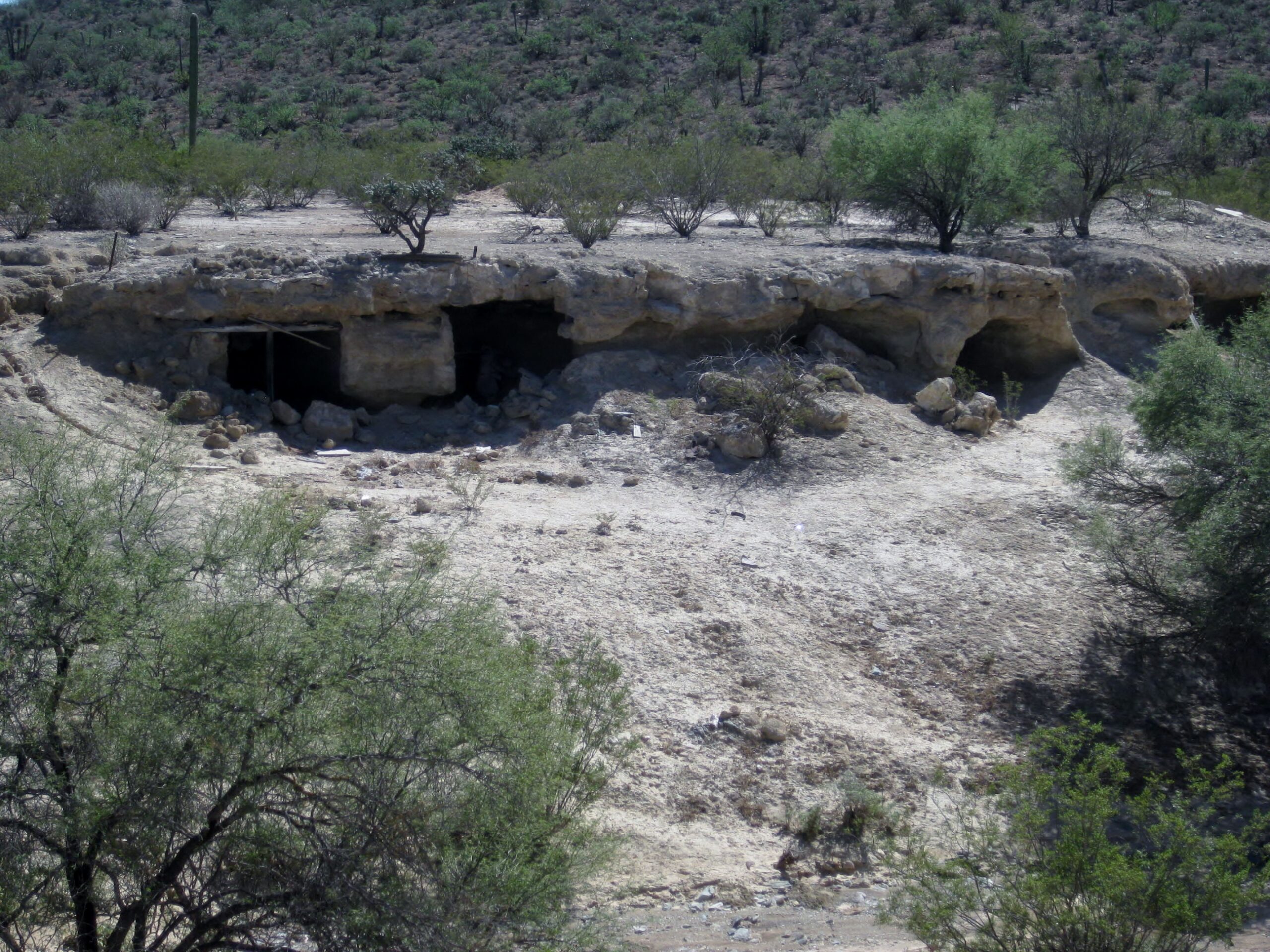
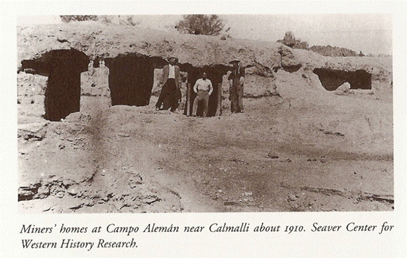
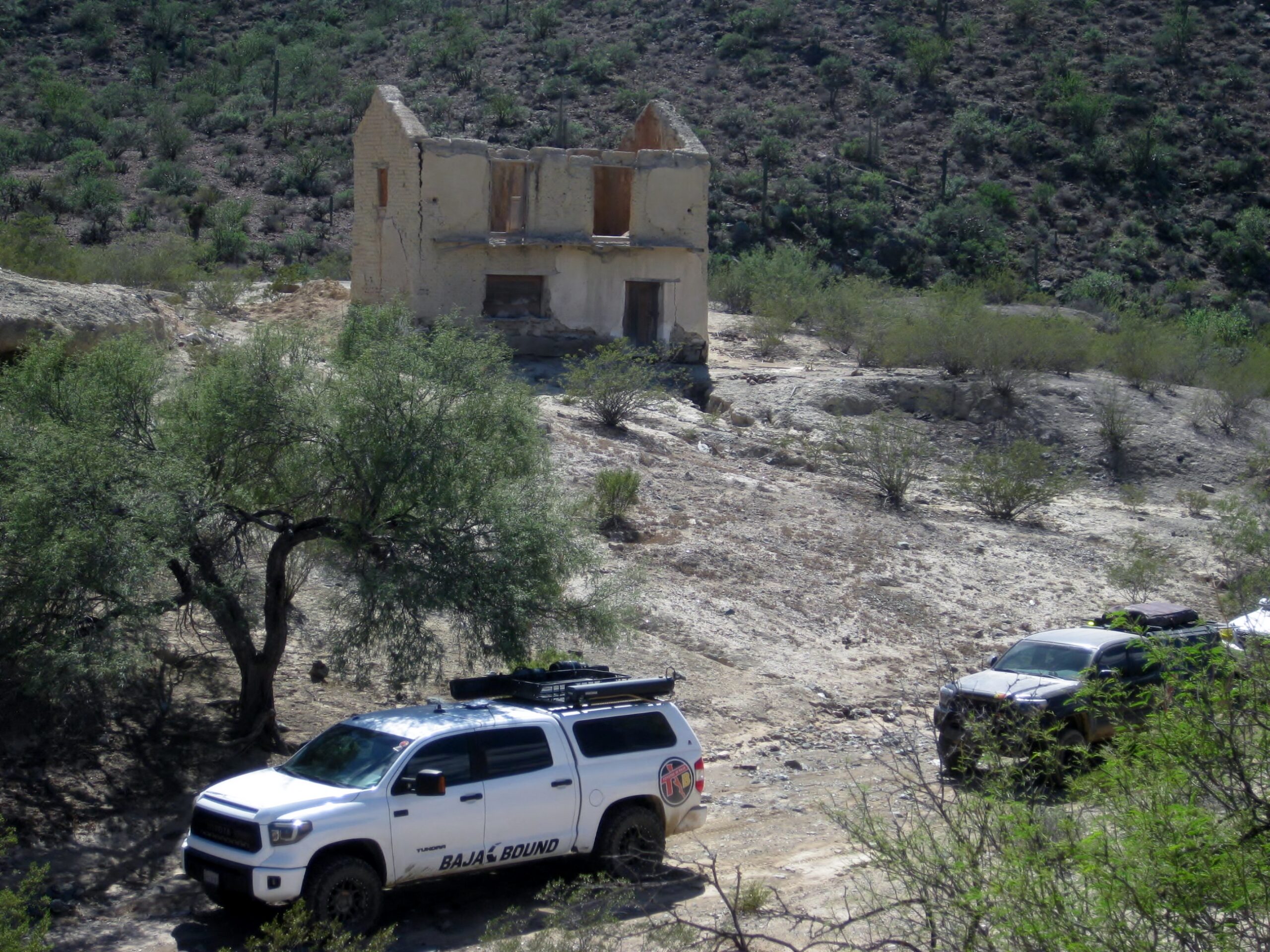
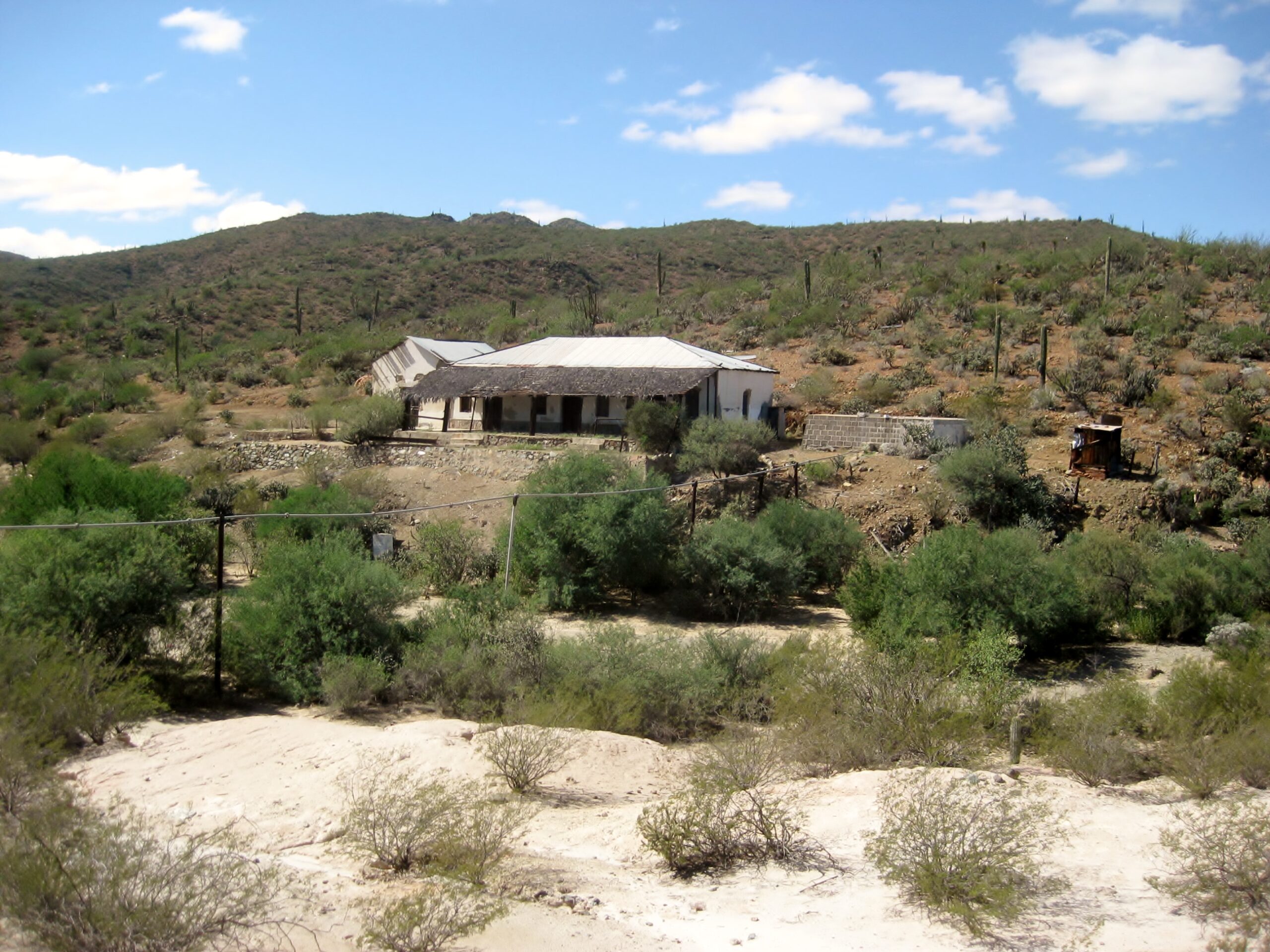
Pozo Alemán, a gold mine town from around 1910
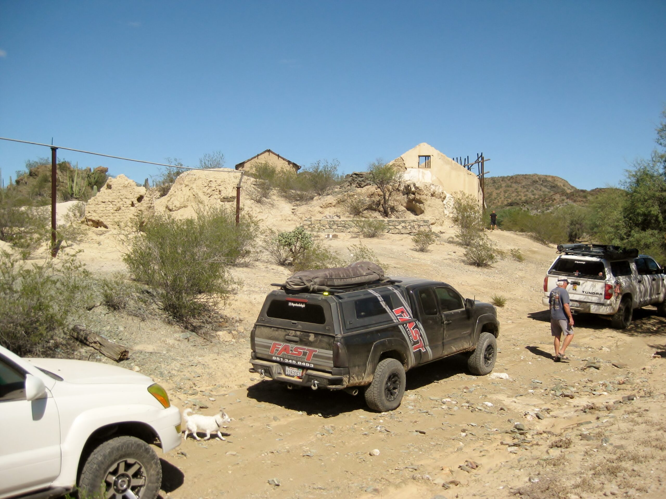
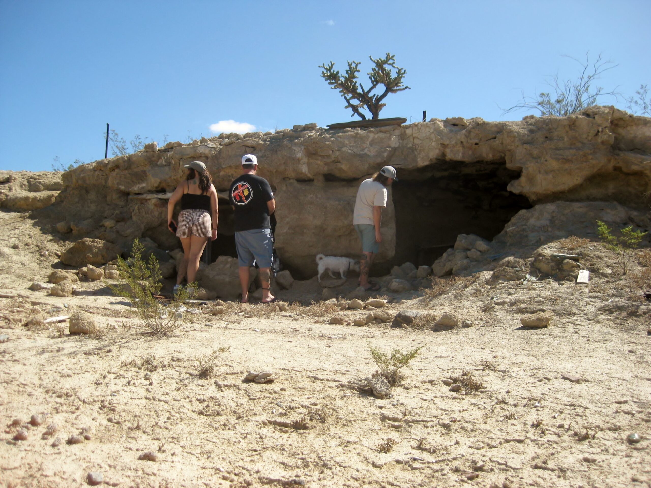
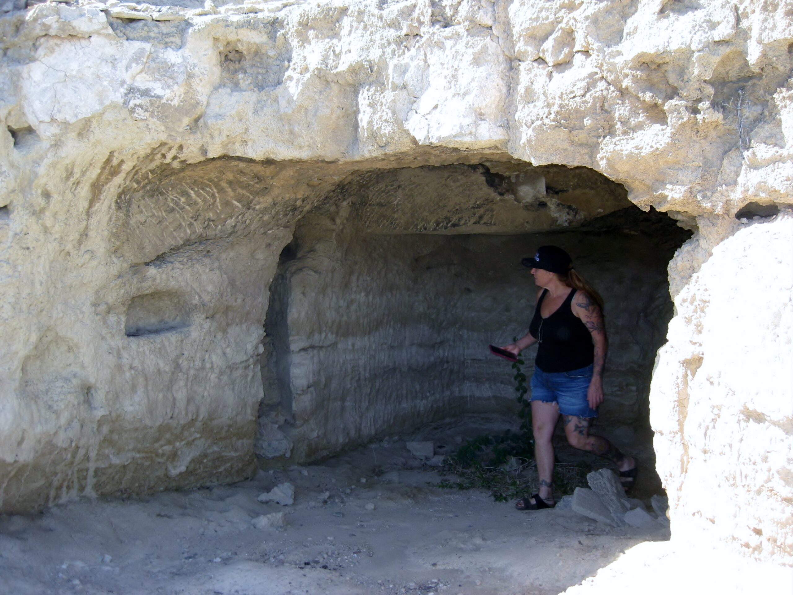
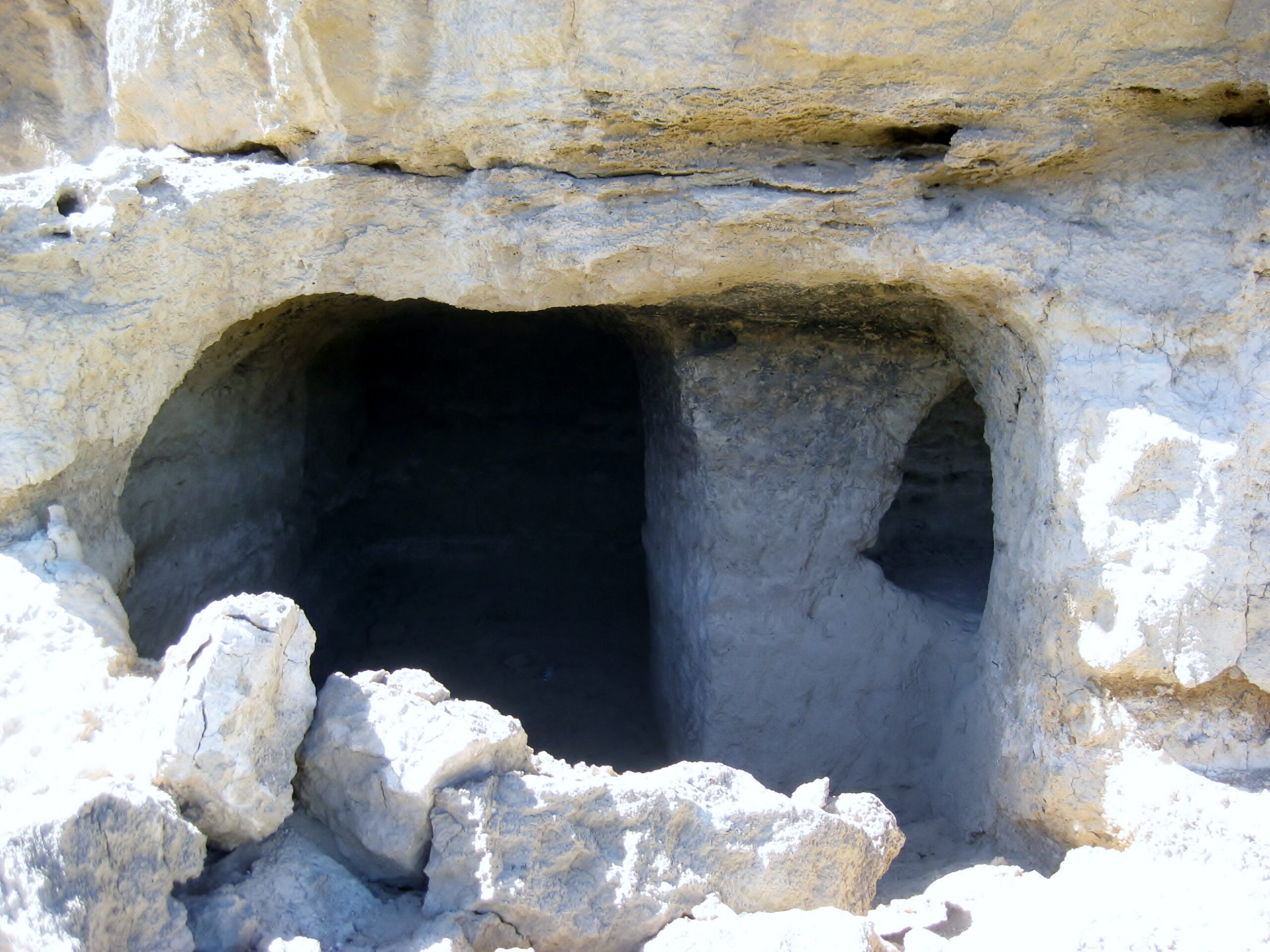
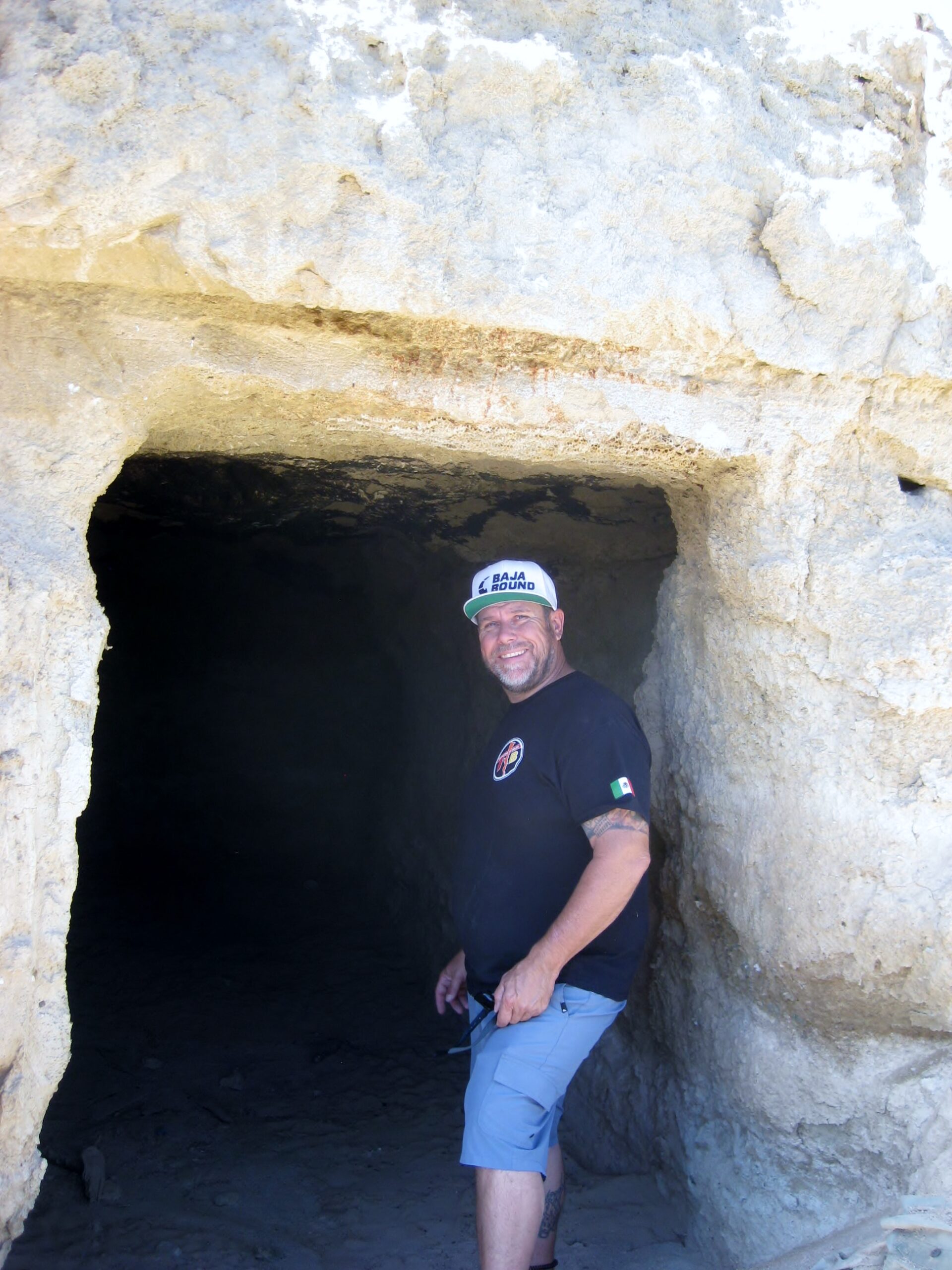
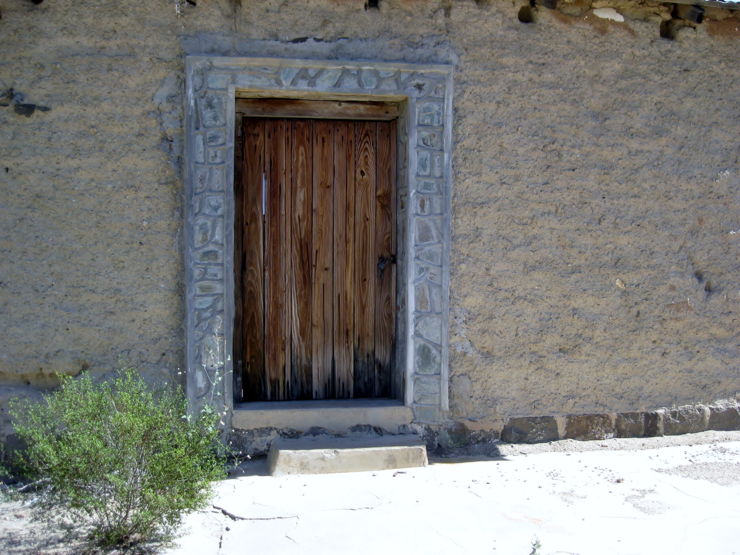
To escape the heat, some miners lived underground.

El Arco… a town erased!

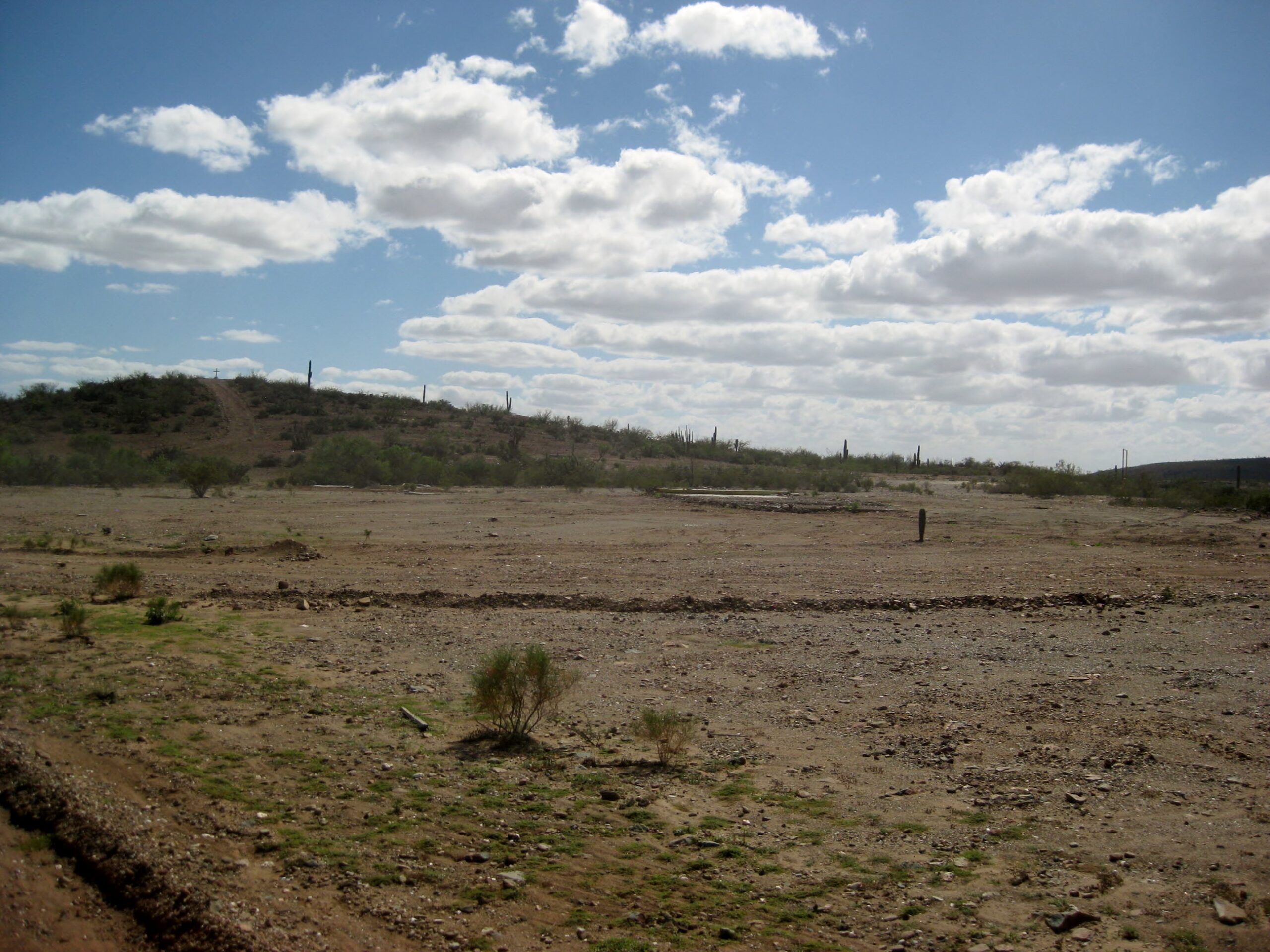
The old town from the 1930s to 1970s has been cleared away for the future new copper mine.
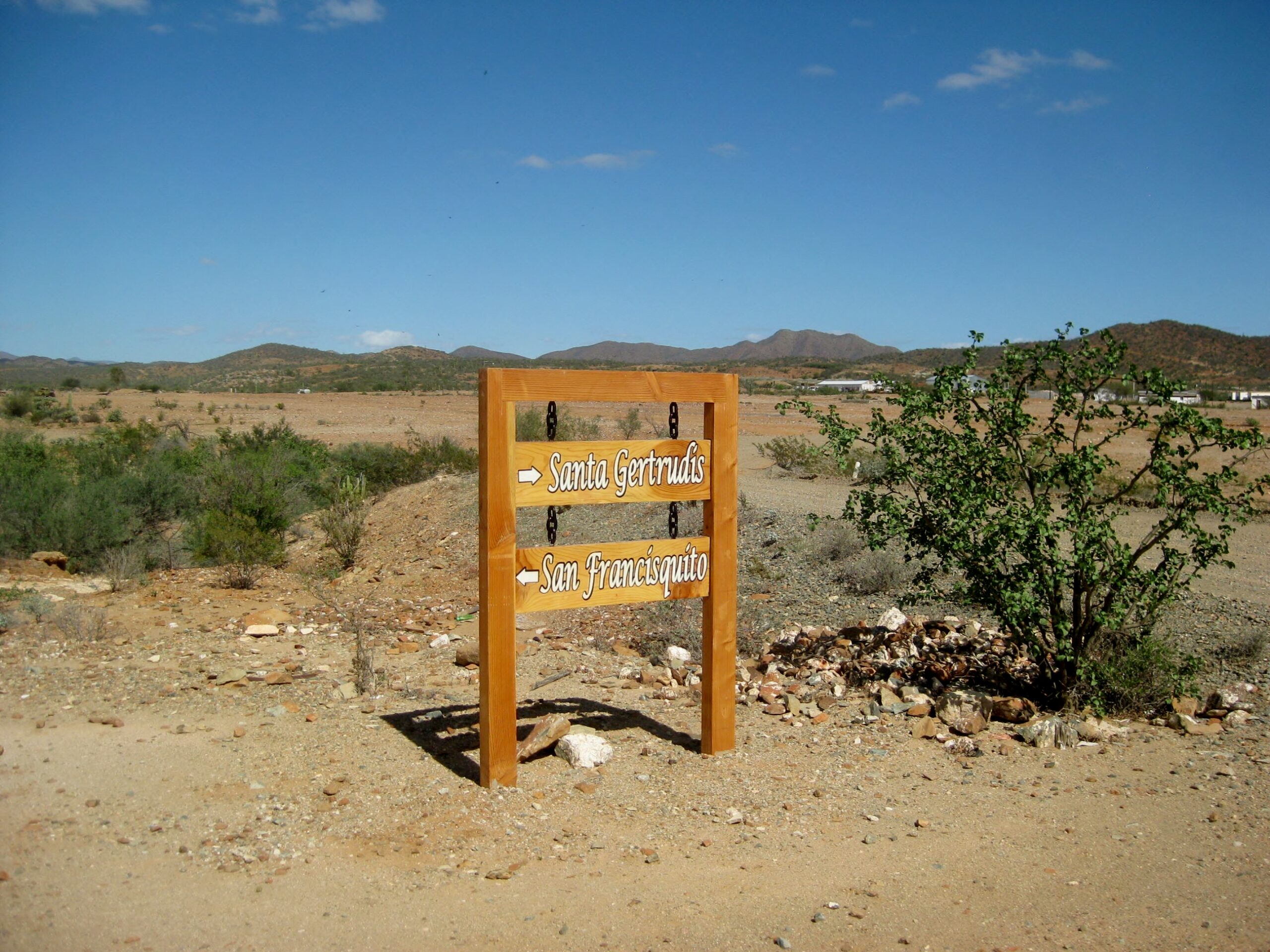
Arriving to El Arco from the southwest (Guerrero Negro) is this nice sign pointing to two roads that go eastward. 
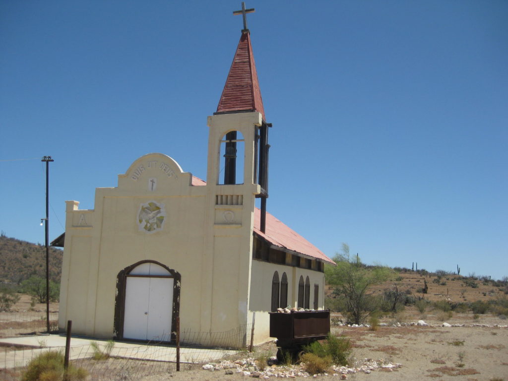
Even the church was erased!                                                                                                                                                   Here it was in 2017: 
More El Arco photos from 2017: https://vivabaja.com/p617/2/                                                                                               

Continue to page 2

Pages: 1 2