The 1966 Erle Stanley Gardner expedition, had a goal to drive their caravan of 4x4s and dune buggies (called Grasshoppers) from L.A. Bay to Rancho El Barril. Maps of the time showed no through road. Dick Daggett of L.A. Bay said it could be done! The Gardner Expedition made a side trip to Las Animas Bay and then made a huge discovery…
This 2009-1 album updates the original 109 trip album: https://vivabaja.com/p109/
Why my trip in January 2009?
Desert Magazine, for July 1966, The Magic of Baja, by Choral Pepper:
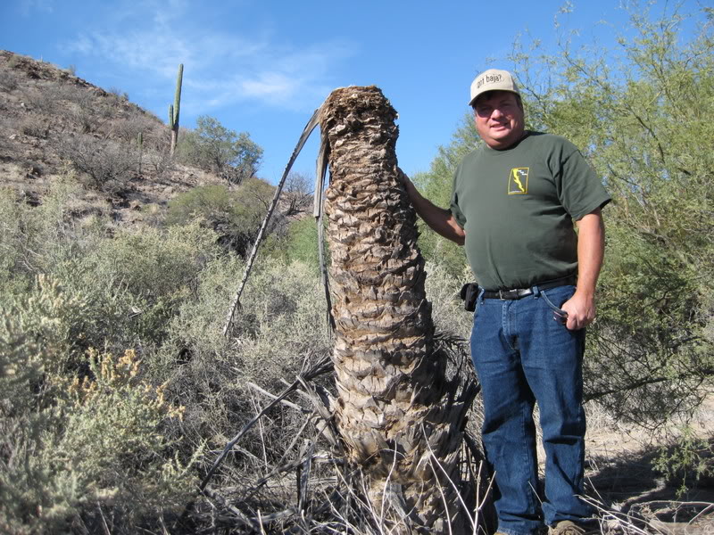
Bruce Barron spotted it first, the primitive dam among rocks and dead trees.
Then someone noticed a scraggly date palm standing alone. Usually they grow in groves and this one was relatively young. “Must have sprouted from seeds dropped by dead ones,” someone remarked.
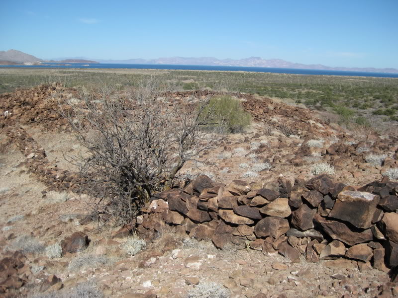
We left our Chapulinos [Spanish for ‘Grasshoppers’, custom-made dune buggies] and climbed into the ravine where remnants of a dam once held water in a natural reservoir. An ancient wall, half-buried in sand, angled from the dam and stretched in broken sections across the level valley. Then, from the other end, a similar wall serpentined up the side of a steep mountain. It was easy to miss, as the stones were coated with desert varnish and melded into the rocky terrain. The upper parts of the wall, constructed above a thicker base, remained in only a few places. The top of the mountain appeared flat, but the sides were steep and from where we stood, we could only guess at a structure on top.
“Let’s go,” Ricardo shouted, while the rest of us contemplated the steep climb in the warm sun.
“I think it’s just a corral,” Bruce decided.
“Heluva place to put a corral!” Uncle Erle [their pet name for Erle Stanley Gardner] observed, considering the prospect of lugging the large rocks up the steep incline.
“Yeah,” Bruce agreed, starting uphill alongside the wall.
“I still think it’s a corral, though,” his voice floated down from midpoint along the path. But why wouldn’t the walls in the valley have held the animals, I questioned, if all these miles of rock wall were meant only as a corral? I had to agree with Uncle Erie. Curious, I took off up the hill. Somehow, I felt we’d discovered something interesting. And I still think so. I think this is the old Jesuit mission of Santa Maria Magdalena, which was begun and never finished!
See Mission Santa María Magdalena started on the 1757 Jesuit map, south of Bahía de los Angeles (as ‘S.M. Mag. empezada’= started): HERE
This was only the beginning of the Erie Stanley Gardner expedition of 1966!
Read the full Desert Magazine article on pages 20-25: HERE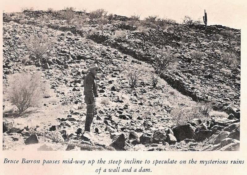

Mentioned in Tom Miller’s The Baja Book guide, 1974 to 1987 editions:

This was the inspiration for me to find these walls, a ‘lost mission’ search! I had the pleasure to meet and become friends with the dear lady I had read about and seen in many photos in Erle Stanley Gardner’s Baja and desert travel adventure books.

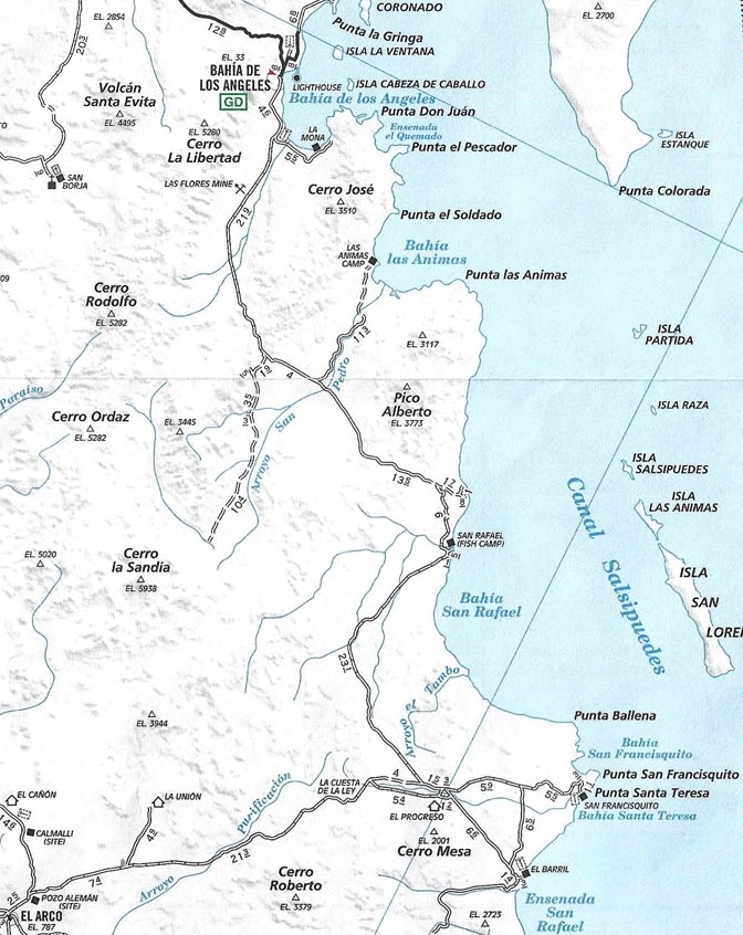
Maps made before the 1966 Expedition south of L.A. Bay:
1962 Lower California Guidebook Map
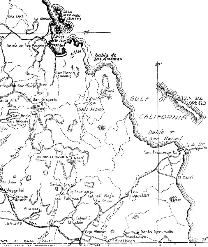
1962 Auto Club Map

Maps made after the 1966 Expedition reached El Barril from L.A. Bay
1967 Mike McMahan Baja wall map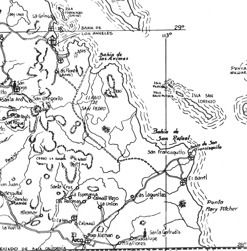
1972 Cliff Cross Baja Guide Map

1973 Auto Club Map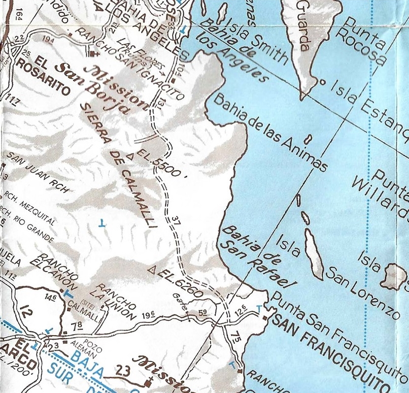
1982 Auto Club Map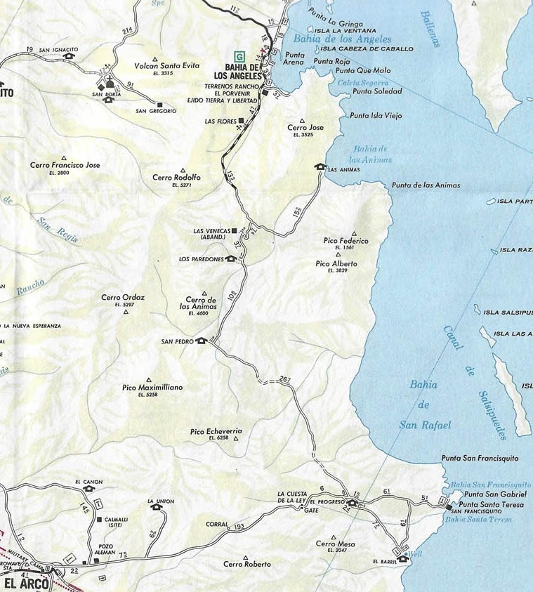
1987 Auto Club Map

1992 Auto Club Map

2010 Auto Club Map
My 2018 Road Guide Maps:


The entire Baja Bound Road Guide, pre-publication on-line edition: HERE
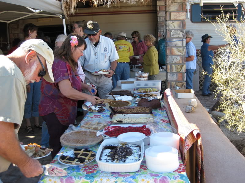
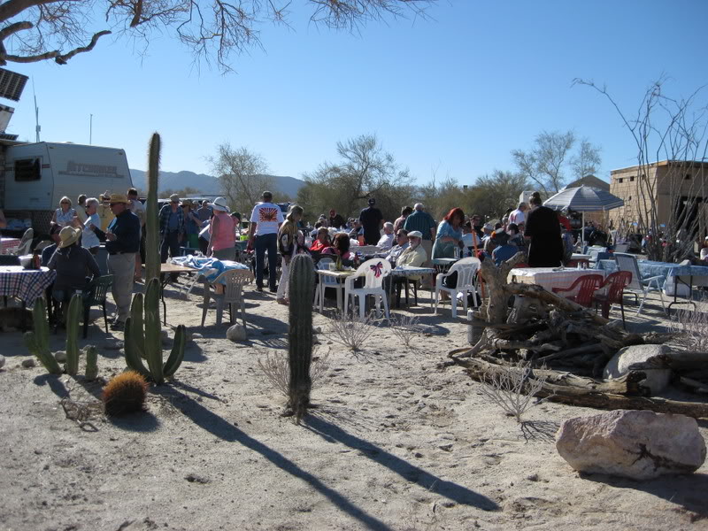
Our fun begins at El Dorado Ranch, north of San Felipe: Baja Lou and Teina’s Turkey Feast on New Years 2009…

 Mike ‘El Camote’ and son
 Tom ‘TW’ or ‘TMW’


 Roy Hall ‘The Squarecircle’
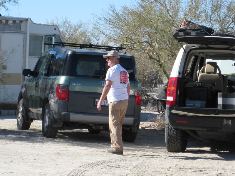
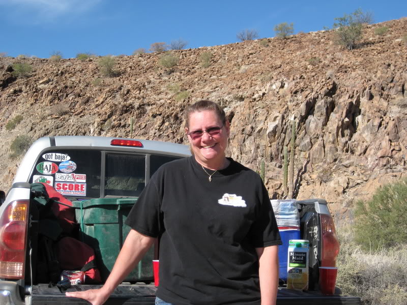
‘Baja Lou’ Wells and Rudy Lopez, aka ‘El Comadante Loco'(with the Mrs.):

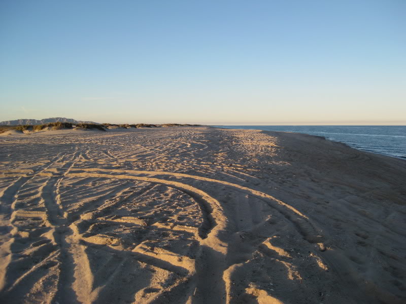
Following the party, we drive south of San Felipe to camp for the night on Shell Island (Km. 26)


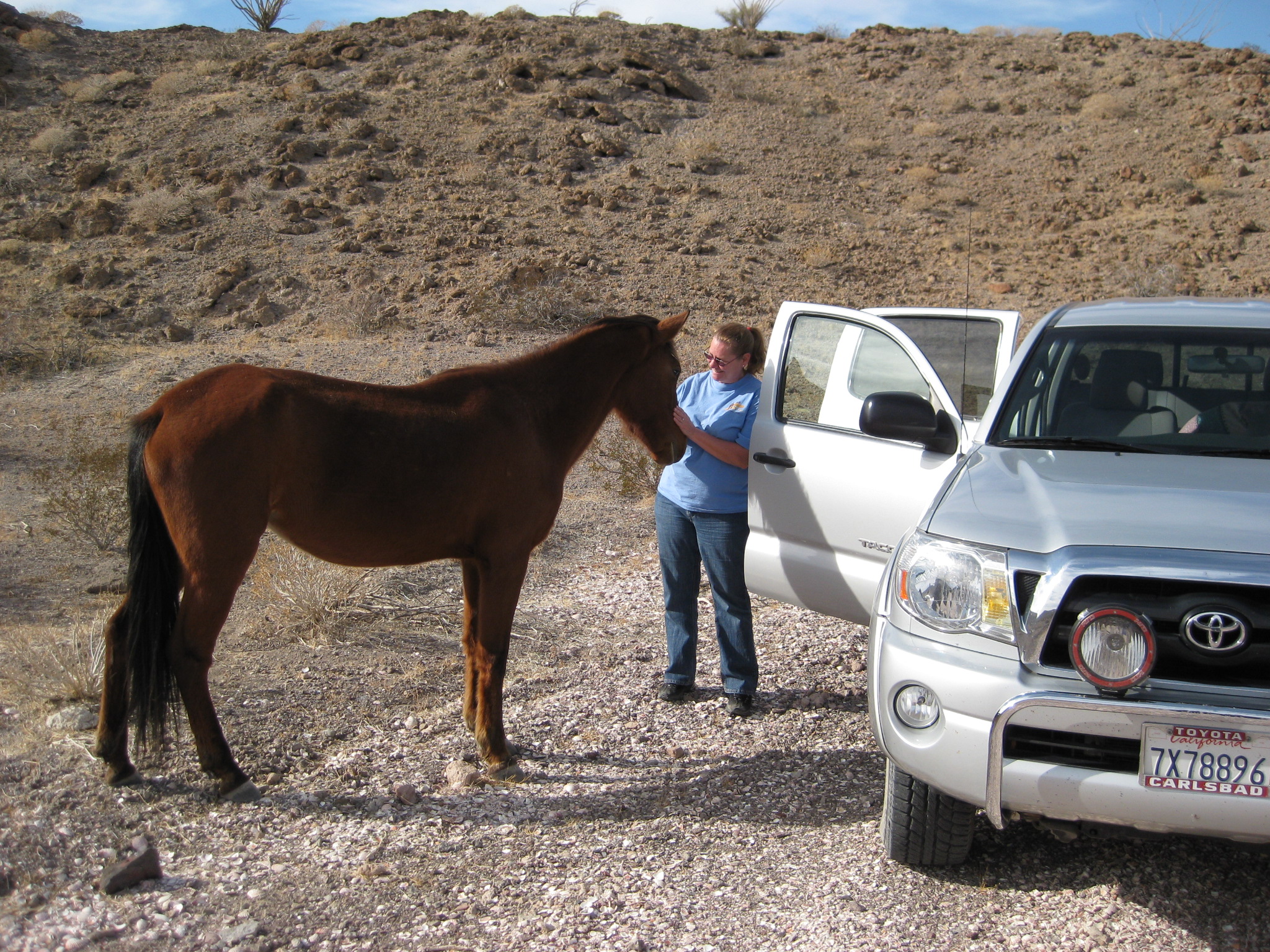
The next day, we take a rest stop south of Gonzaga Bay and this friendly fellow wanders over to us:

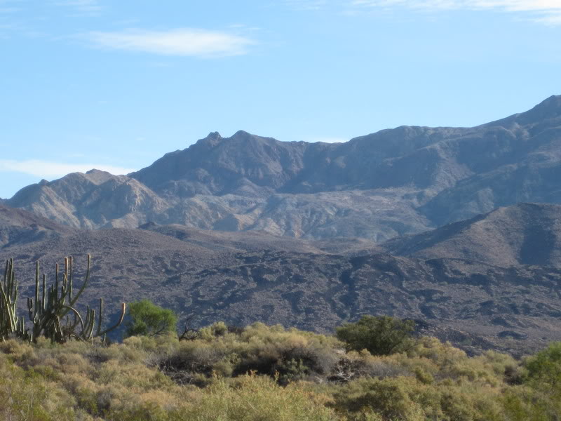
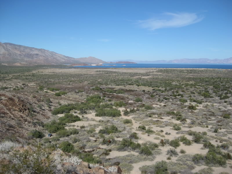
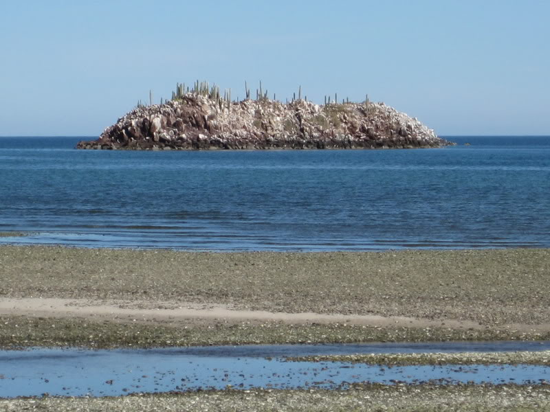
South of Bahía de los Angeles:


We stop to photo a cave on the south side of the mesa, 2-miles from Bahía Las Animas. Then we drive a little further and find the first clue mentioned in Choral Pepper’s article:
Just as Choral Pepper wrote in 1966: “… a scraggly date palm standing alone. Usually they grow in groves…”

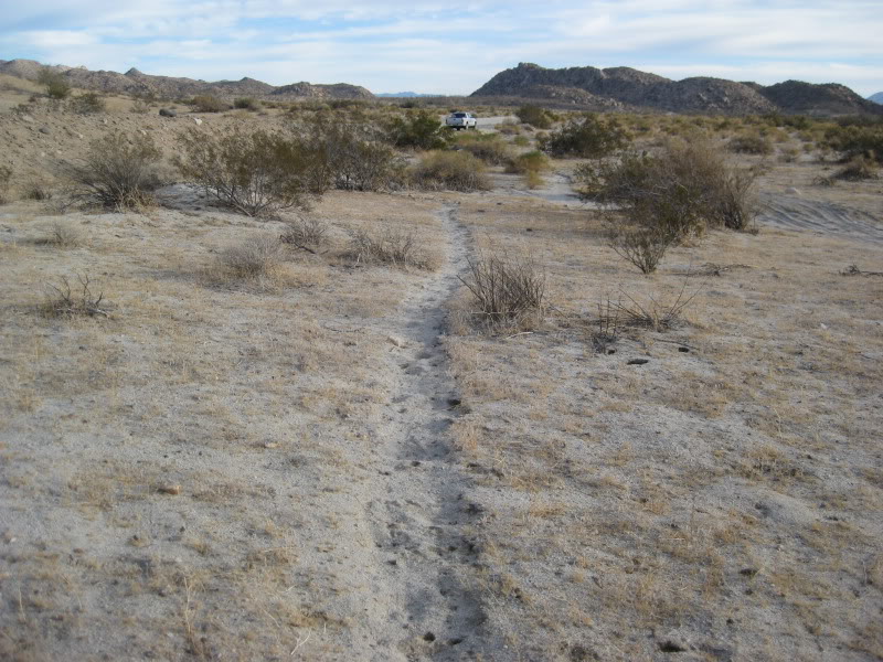
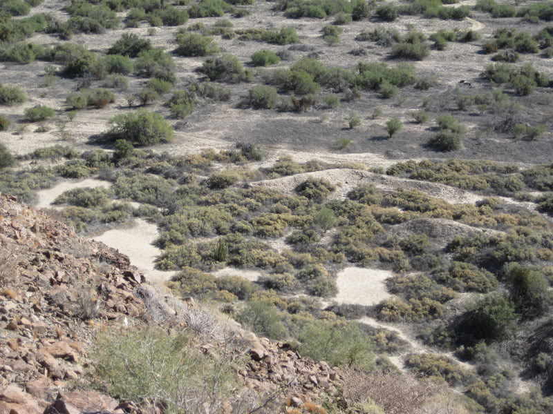
Next, we drive around the base of the mesa and look for the wall…


After circling the mesa and just before returning to the palm, we discover the dam and reservoir Choral mentioned:


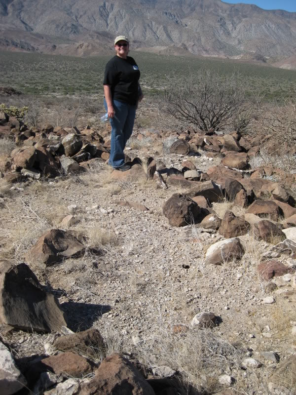
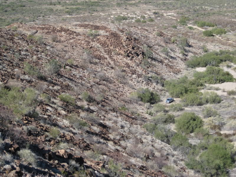
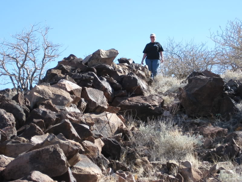
We park at the foot of the mesa where we think we can climb to the walls. The climb is steep!

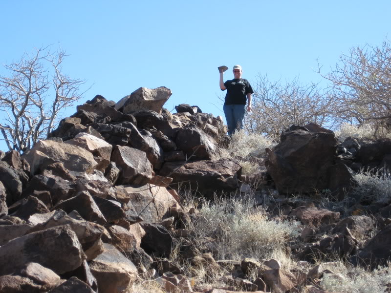
Such an exciting moment for us!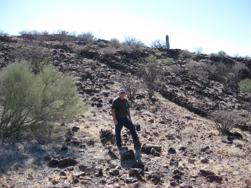


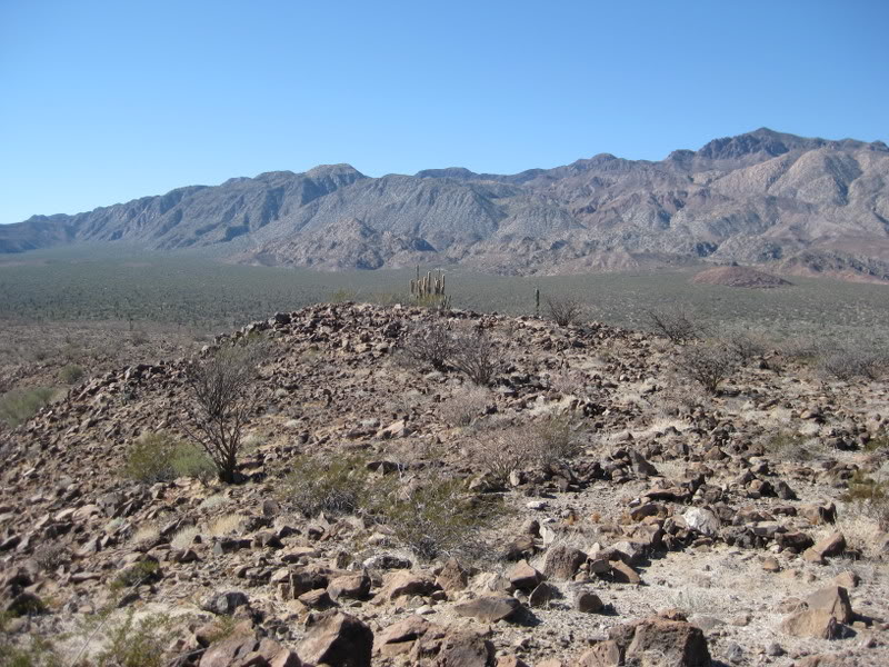
Next, we follow the wall towards the highpoint of the hill

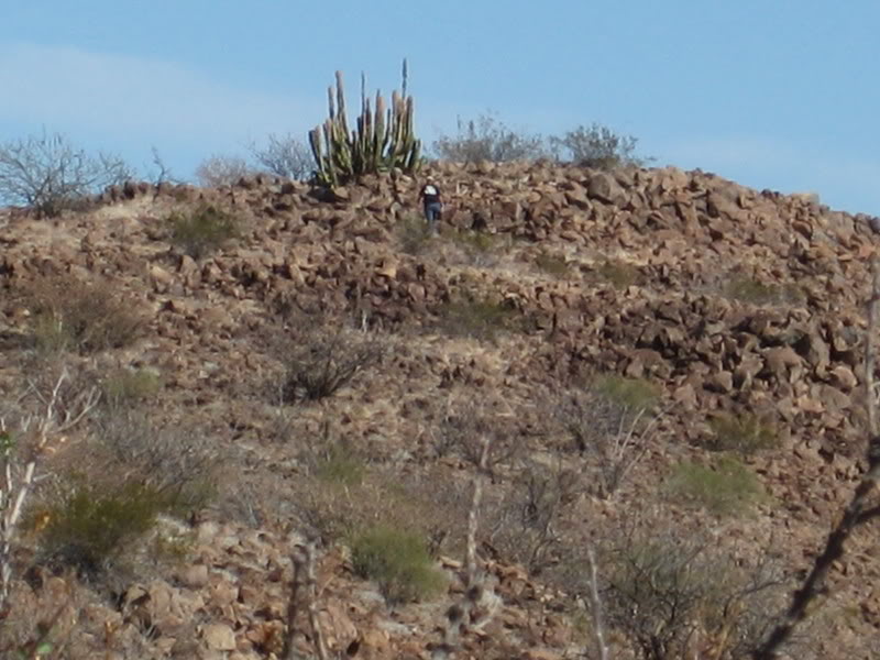

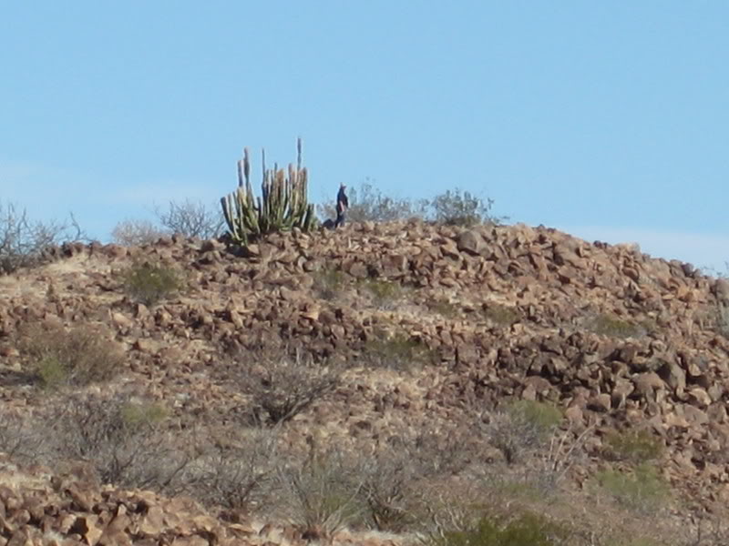
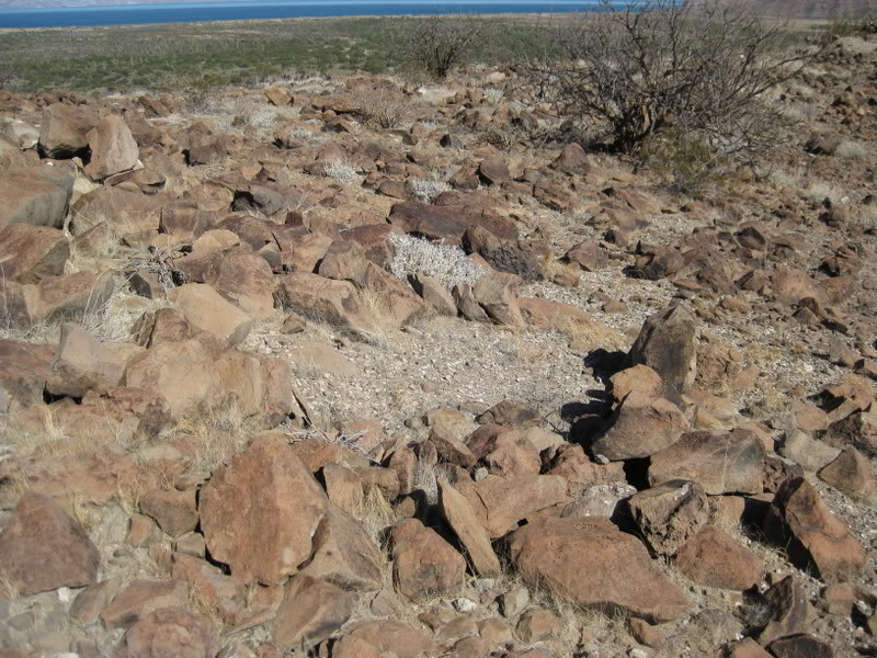
We find numerous grinding stones, sea shells, and sleeping circles. This was quite the village!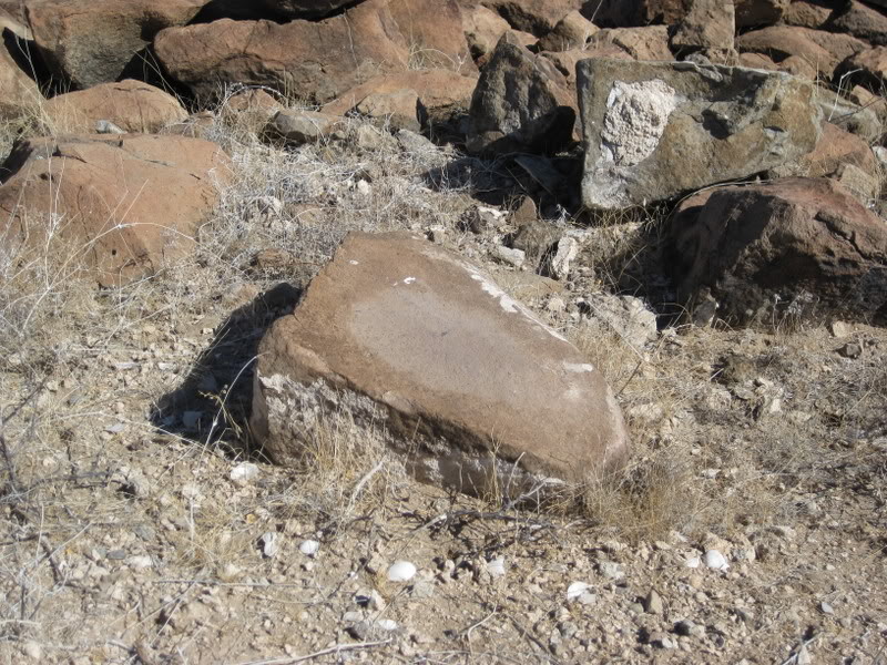


1966 vs. 2009


Bay view panorama (3-photos)


More shells from a dinner long ago
The Cave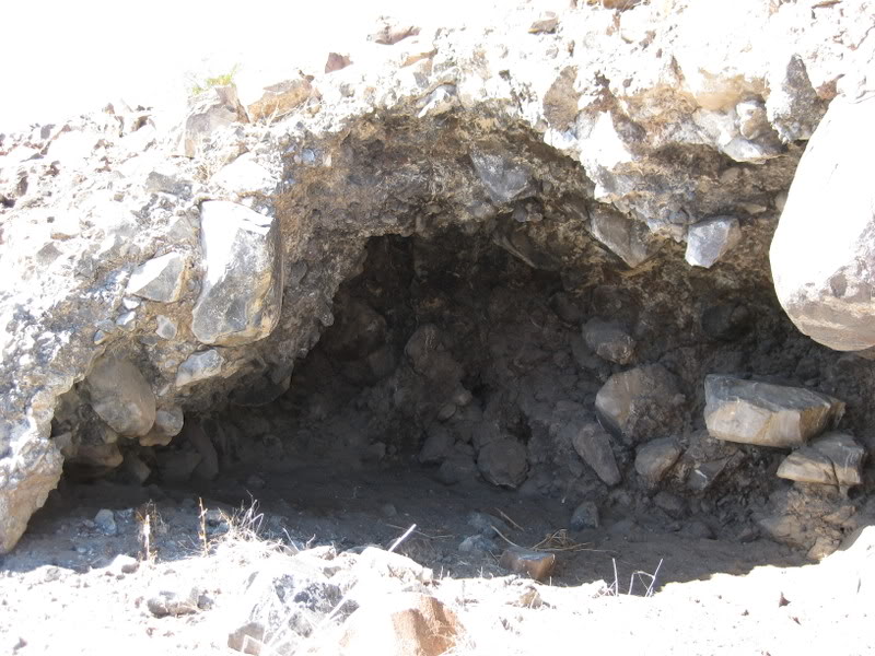


Since my 2009 Baja Nomad post, and both Discover Baja Travel Club and Baja Bound Insurance articles were published, others have gone and photographed these mystery walls.
One of my Baja Bound articles: The Case for a Lost Jesuit Mission
In 2017, I returned to Bahía Las Animas but the (north) road over to the wall access and palm trunk was obliterated by flash floods. I did not drive around to it on the south road.
In 2019, an amigo (‘Octopup’) flew his drone over the walls: https://youtu.be/YSZJSegFtw4
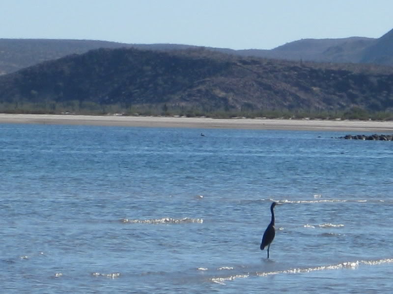
We drive the two miles north to Bahía las Animas


Next stop, Las Flores

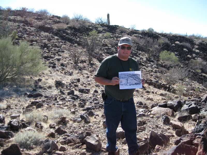
The history of Las Flores (1890-1910), the railroad south to the ore bucket tramline, and the San Juan mine on top of the mountain is detailed in my articles: Las Flores Ghost Town and A Desert Railroad. Additional detail and links on the mine potential in this page: Las Flores Railroad.
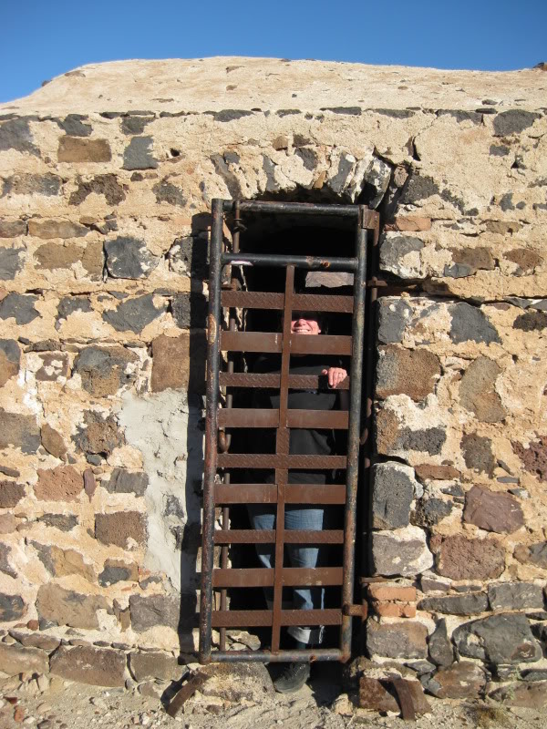


Just outside the jail, the railroad line heads south about 6 miles to the tramline terminal


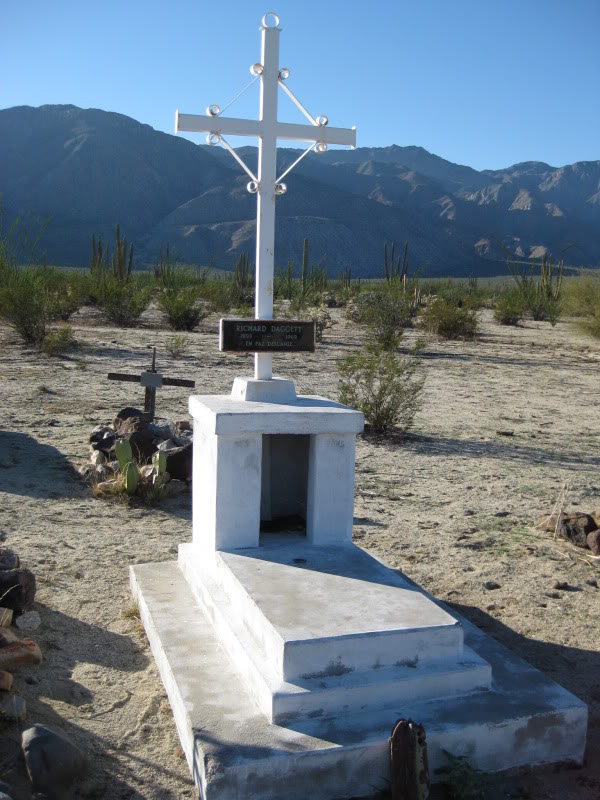
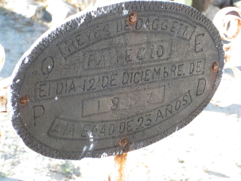
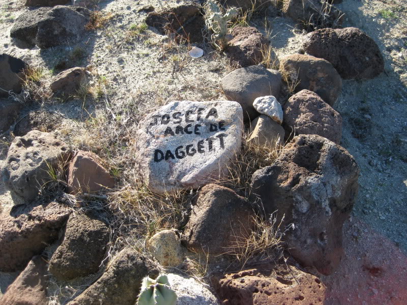
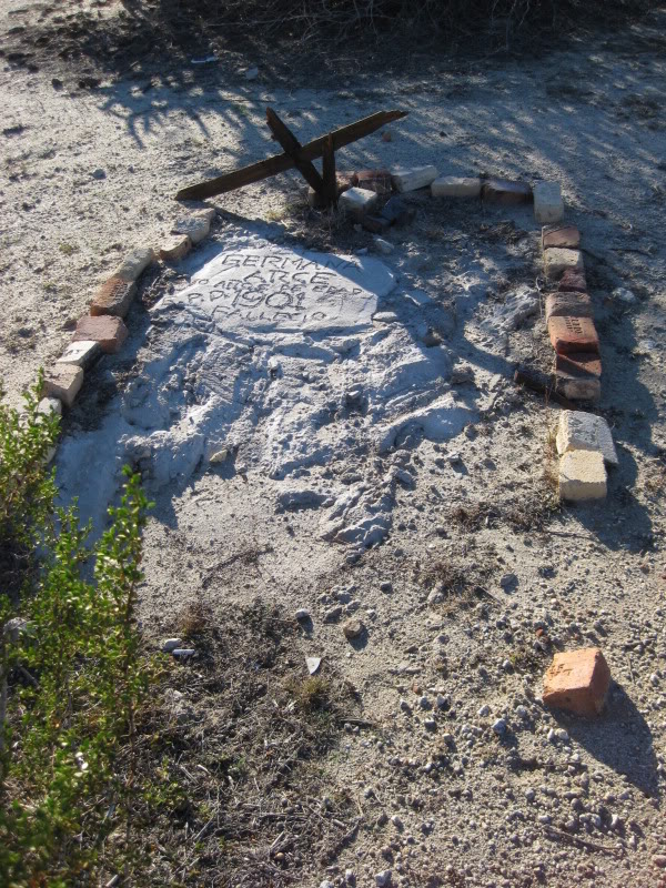
Las Flores Cemetery


8-years earlier, in 2001:


Back to Bahía de los Angeles (‘L.A. Bay’)…

 Best fish tacos in town is at China’s (say “chee-nah”)
 The ‘got baja?’ sticker certifies the goodness here!
China’s taco stand is between Mini Market Lizeth and Restaurant Las Hamacas :


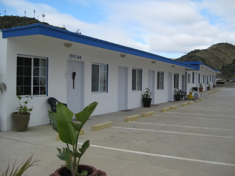
We head north to El Rosario for the next night. Our favorite motel in all of Baja is the Baja Cactus (next to the gas station). Unfortunately, it is not just our favorite and there is no vacancy. We try the relatively new Turista Motel on the opposite (southbound) end of town. It was very nice and we slept well.

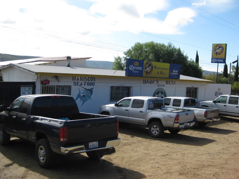
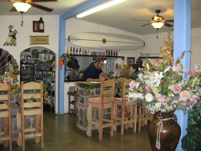
Across the highway from the motel is Ed Lusk’s Baja’s Best Restaurant, where we enjoy eating and Ed’s friendly personality.


