Lifting off and leaving the support team so they can catch up with the others.A helicopter is a fantastic tool to explore in. No wonder Erle Stanley Gardner was so fond of them, in the 1960s.Highway One and one of the trucks from the group that also headed home this day.
WowThat is Matomí Mountain to the northeast. Puertecitos is 20 miles beyond it.A ranch.
Canyons beckon to be explored!Lot’s of water in the desert, if you know where to look.A geologist’s dreamland.
El Socorro and its runway.Highway One bridge near San Quintín.Bahía San QuintínThe Mission Santo Domingo canyon, east of Colonia Vicente Guerrero.Nearing Punta CamaluWhere your Home Depot landscape stones come from.The Pemex station just north of the Observatory Road at Díaz Ordaz (San Telmo de Abajo).Hotel Paraiso ColonetSan Rafael River bridge, Colonet.
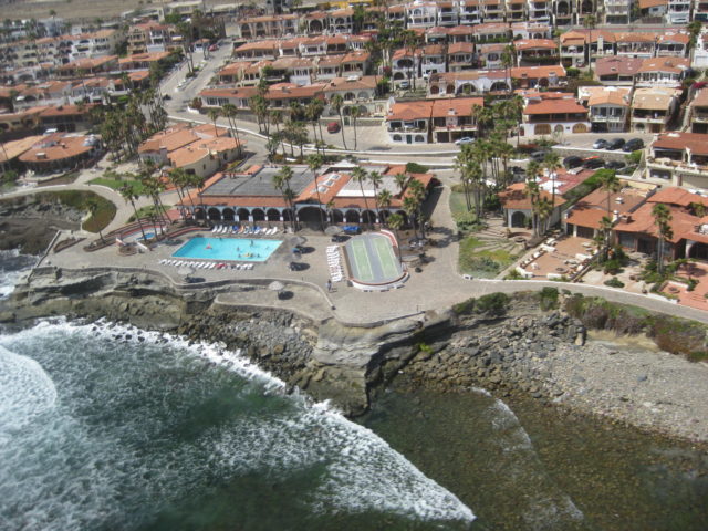
Nearing Ensenada, just east of Estero Beach here.The La Salina small boat marina.Big La Salina beach.Playas la Misión where the free road and toll road come together again.El Descanso church and the mission site is next to it, on the left.The Cantamar sand dunes.Heliport and rodeo, just south of Puerto Nuevo.Las GaviotasLas GaviotasHave you been looking for Jesus?He is at 32° 15′ 54.3″ N 116° 59′ 43.0″ W.We hope he has blessed our helicopter!Tijuana is a huge city.We fly right over the middle of Tijuana’s airport, and across the border to Brown Field.Back home to El Cajon! Thank you Jim McCoy for such a great trip in your Raven Helicopter. http://sdhelicoptertours.com/
A huge thanks to Cameron Steele for inviting me to share some mission passion with the guests of Trail of Missions 2014 and the chance to go ‘Hovering over Baja’ as Erle Stanley Gardner would say!