Full name: Nuestra Señora del Rosario de Viñadaco
Founding date: July 24, 1774 (relocated 2 miles west in 1802) Mission #19
Catholic Order: Dominican
Founded by: Padre Francisco Galistéo
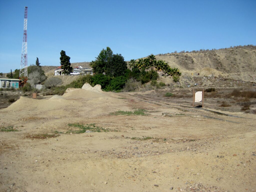
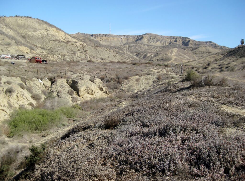
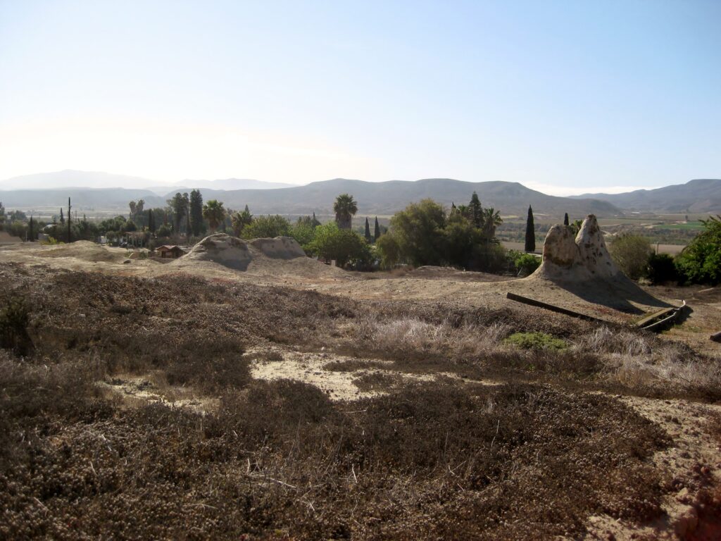
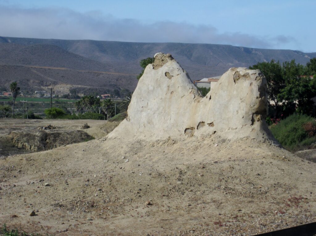
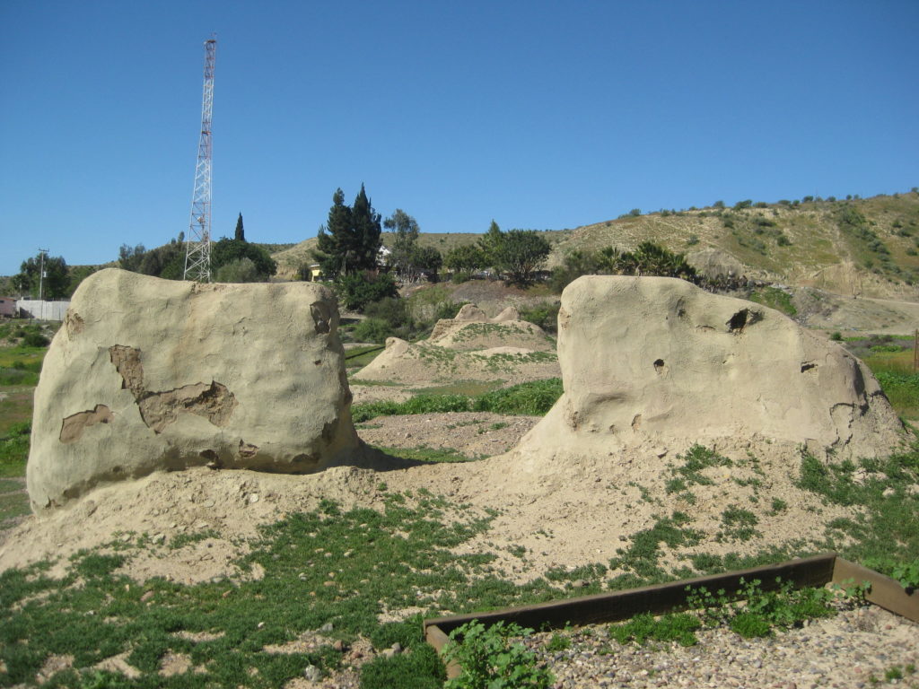
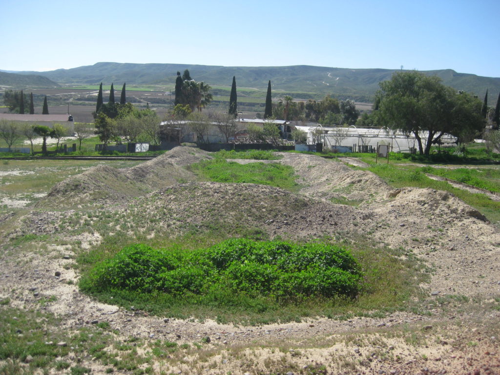
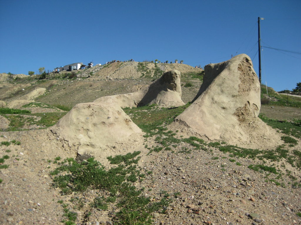
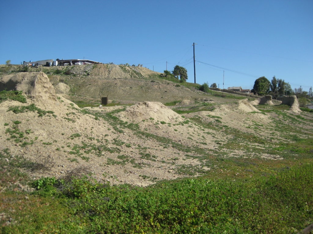
Condition: Adobe ruins at both sites
Closing date: Closed in 1822
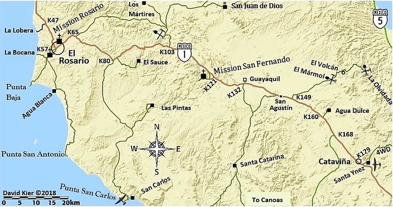
GPS/ Access: 30.066944, -115.718889 (first site) Mex. #1, Km. 58.5, south of San Quintín, just uphill.
Read more: HERE
The first ‘El Rosario’ mission and first Dominican California mission was founded in 1774 at a place called Viñadaco by the Cochimí Natives. A spring provided water in the gully next to the mission until it stopped flowing in 1802, That was when the Dominicans moved the mission about two miles down the valley and alongside the flowing river where the mission was known as ‘Rosario de Abajo’ (or Lower Rosario). The first site was then on called ‘Rosario de Arriba’ (or Upper Rosario).
>> To see where this mission is, maps and directions at bottom of page <<
2025
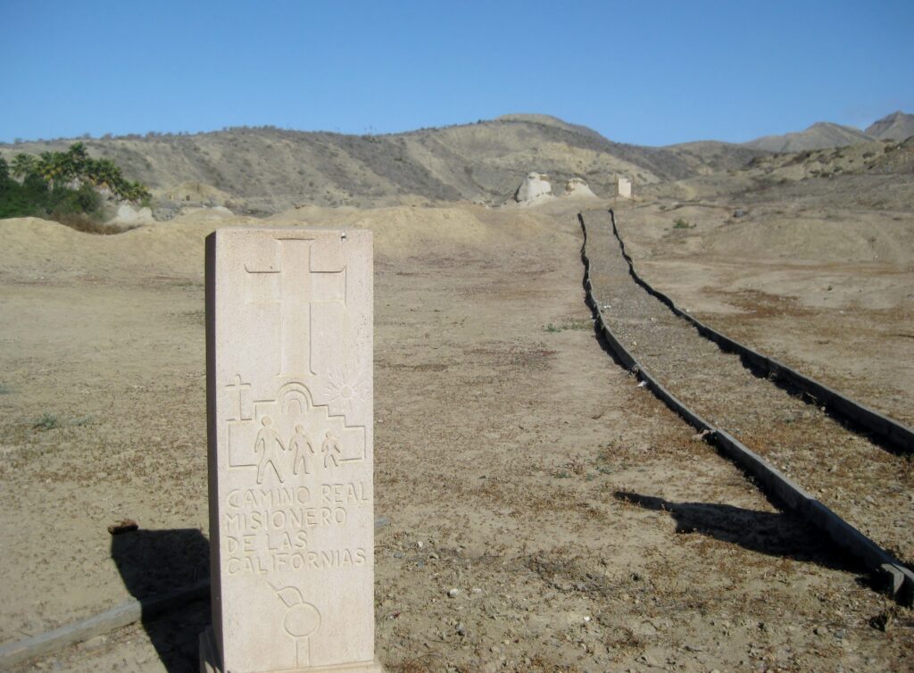
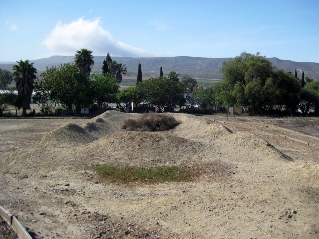
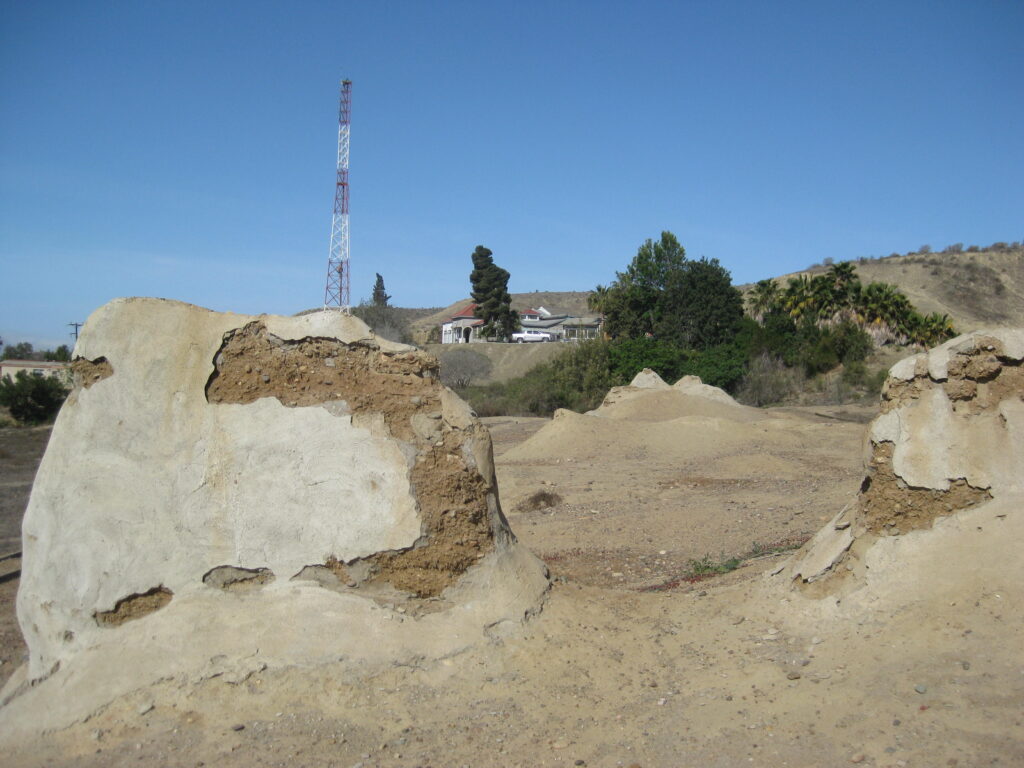
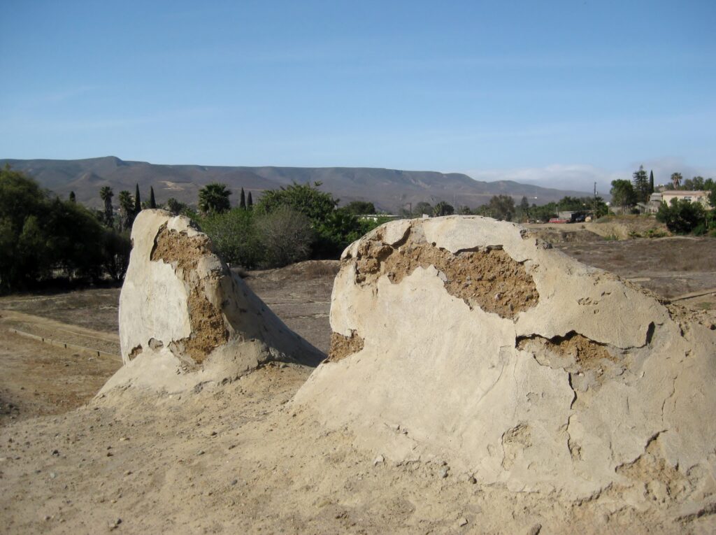
2017
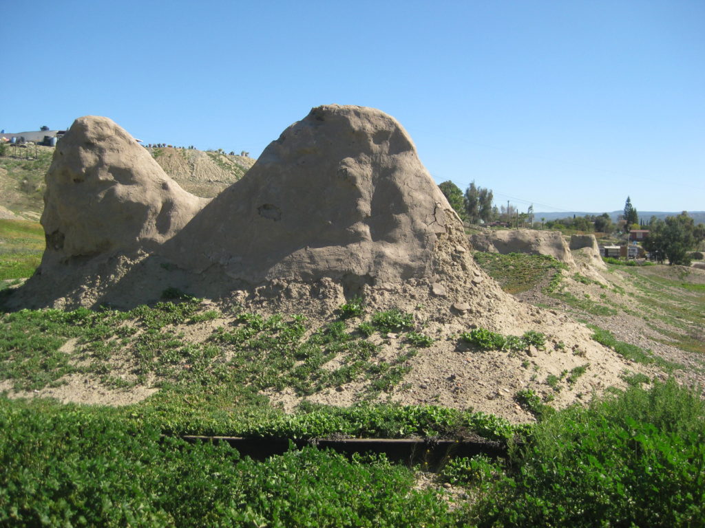

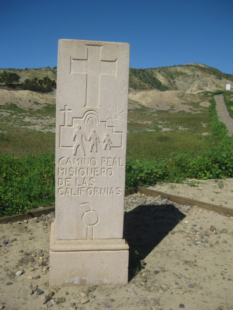
2005
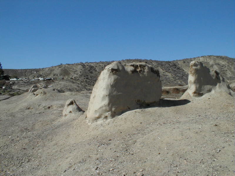

2004
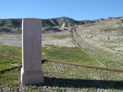

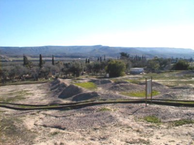
The next three photos are from Howard Gulick (Lower California Guidebook author).
1961
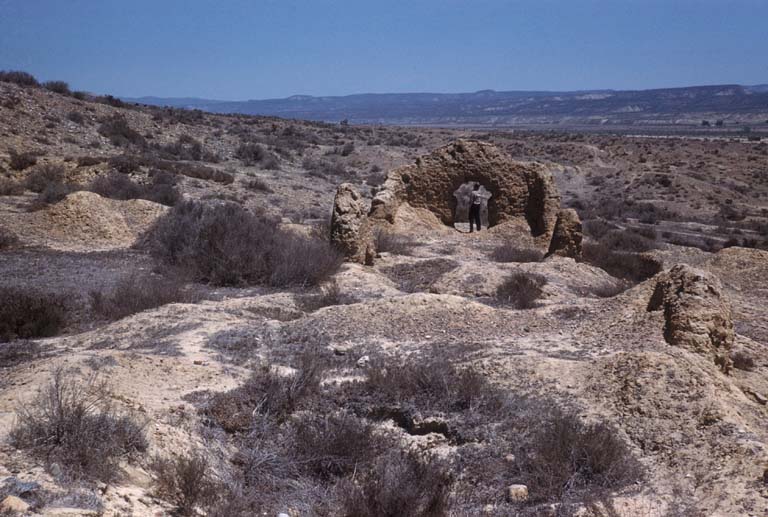
1957
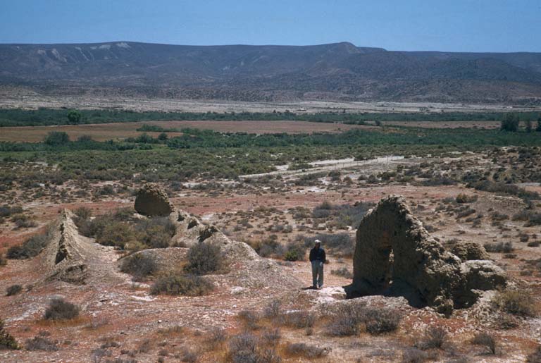
1956

1949 photo from Marquis McDonald (author of ‘Baja, Land of Lost Missions’)
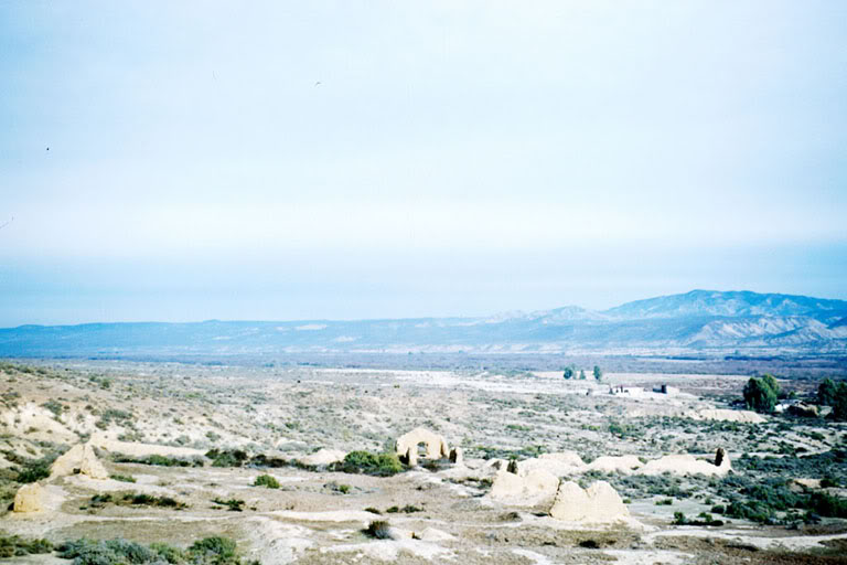
The second Rosario mission site photos: Mission Rosario de Abajo in photos: https://vivabaja.com/rosario-de-abajo
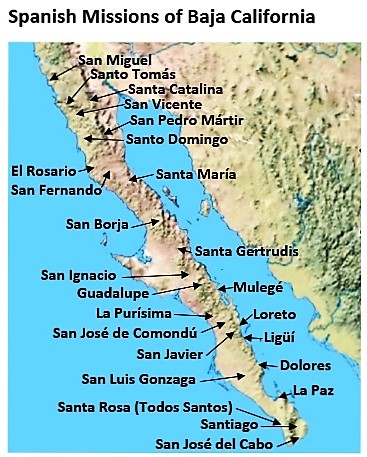
- All the missions, quick look and history, north to south: https://vivabaja.com/mission-site-photos/
- VivaBaja.com MISSIONS PAGE: https://vivabaja.com/missions1