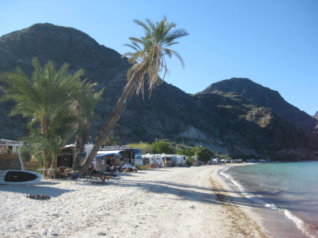
Bahía Concepción is one of Baja California peninsula’s top camping destinations. Rooms are also available at a couple locations, with Bob & Susan’s ‘Playa Frambes Lighthouse Resort’ being a top pick of ours. See our July 2009 trip album for photos there!
The photos do most of the talking, I will just add locations to them, and my map:


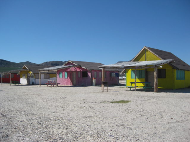


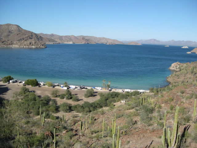
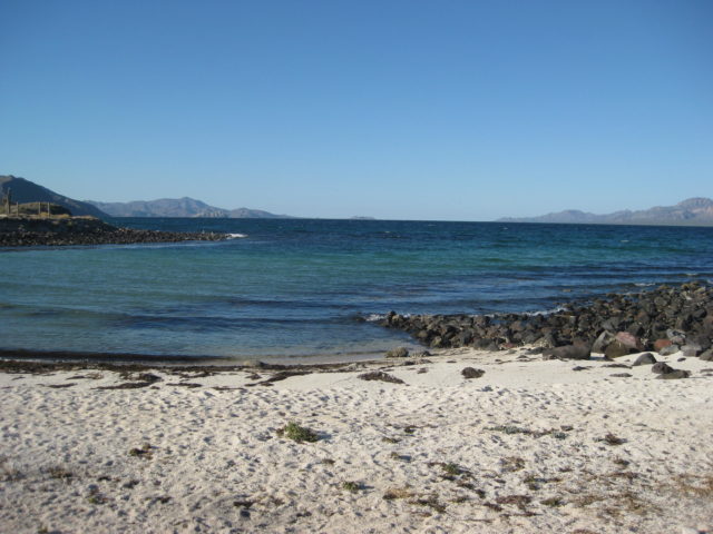
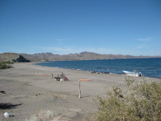
EL REQUESON (Km. 92, and to the left):


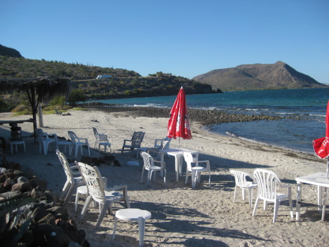
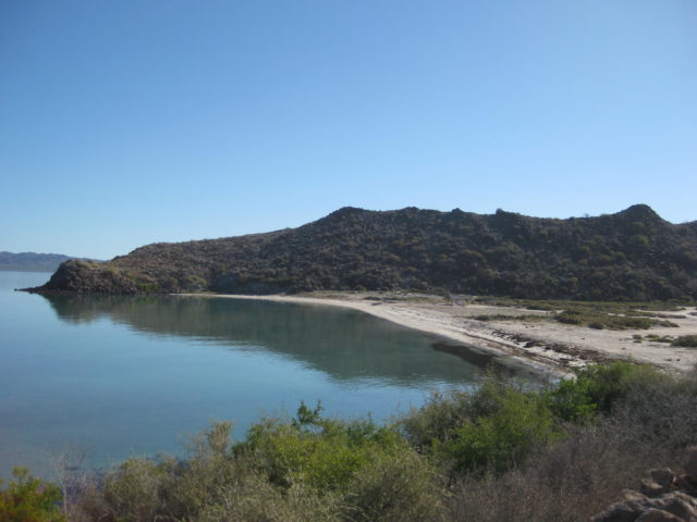
LA PERLA (Km. 92, to the right):


DAY 4, Thursday Feb. 2 (Groundhog sees his shadow)

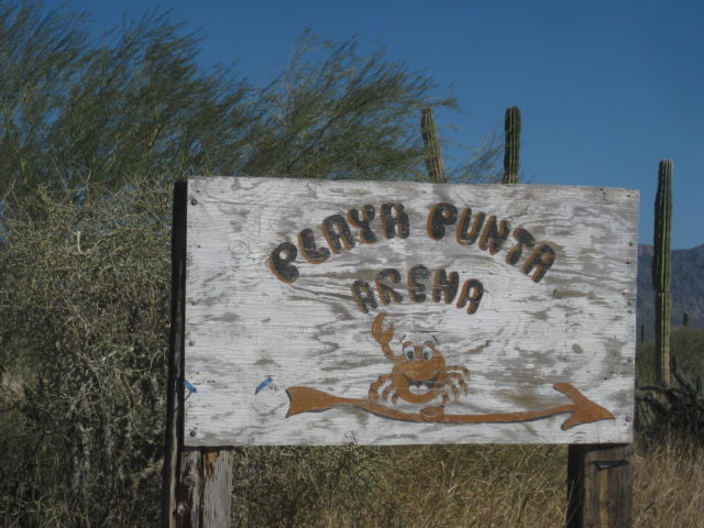
Heading south, I wanted to see San Nicolas. Heard lots about it and seen Nomad photos in the past… Nomad ‘Vgabndo’ (Perry) used to have a place there. He gave Baja Nomad the term “Peace, Love, and Fish Tacos” as our motto.
The junction for San Nicolas is just past the Rosarito restaurant and along the runway built during the construction of Hwy. 1 through here about 1970-1971. It is just south of Km. 62.


Flash flood(s) have really cut through here in the recent past.
It is 10.6 miles to the beach from Hwy. 1 on fairly good graded road, complete with highway signs and kilometer posts. A ‘Chuy’s Sportfishing’ sign is in the village area. Nothing looked like a camping area or any rooms (or at least signs), so back out to the highway.
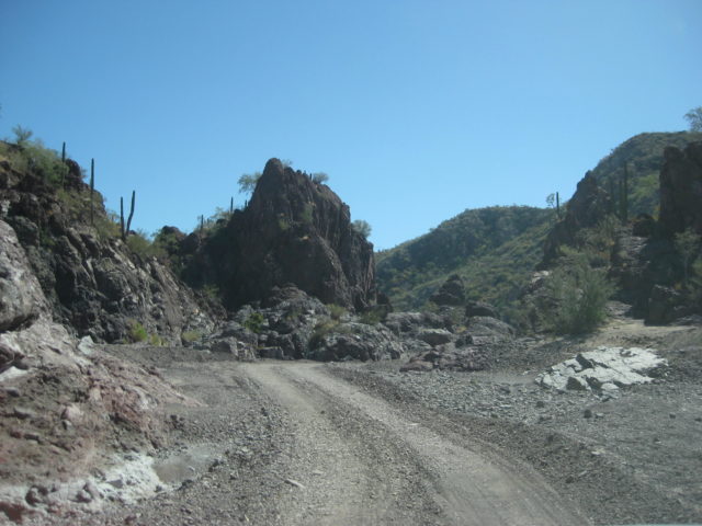
At Km. 59+ is the graded road west to San Isidro and La Purísima. This road I will be traveling in a few more days is NOT maintained and should be avoided by most, only trucks and SUVs, as it is very rough. Only a few miles near Hwy. 1 (here) are smooth and fast. Flash floods and rain of the past couple of years has been hard on the roads in Baja Sur.
The next coastal area I wanted to see was San Juanico and San Basilio. There are two roads in. The first is unsigned at Km. 48.5 and the second has a big sign (Km. 40) the reads to NOT use this road, go north to Km. 49.
I would see later that this Km. 40 road is chained closed on the east end and is for the use of the property owner of San Basilio, all are welcome to San Basilio, but use the natural arroyo road at Km. 48.5. So back north I go up Hwy. 1, 5 miles…

There is an unsigned fork at Mile 6.8. The left fork goes 2.4 miles more to the fishing village of San Juanico. No camping facility or rooms were seen.
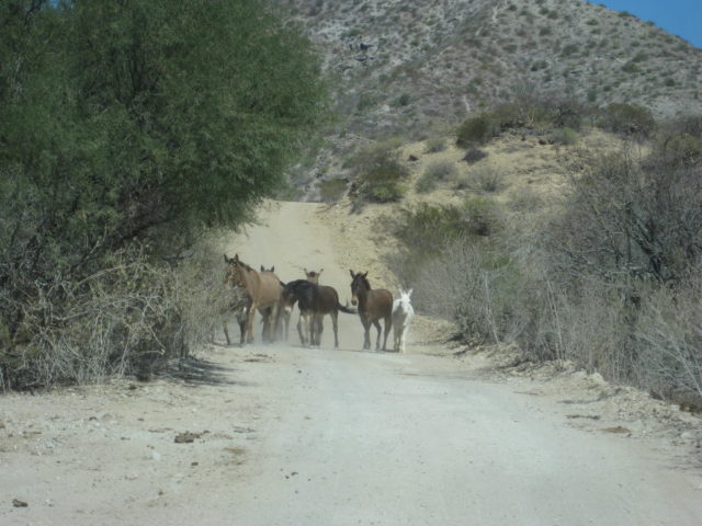
Back to the fork, and going on the right fork (and keep right in 1 mile at another fork) in just 1.5 miles met up with the graded road from Km. 40, and was chained closed. A San Basilio property guard met me where these burros were and told me I could camp ahead, no problema.
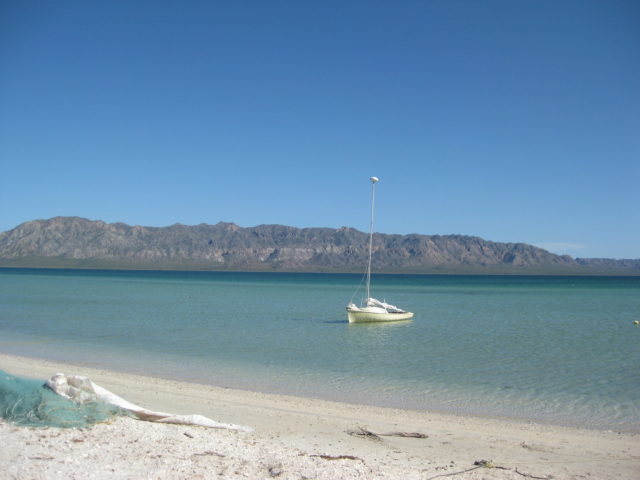
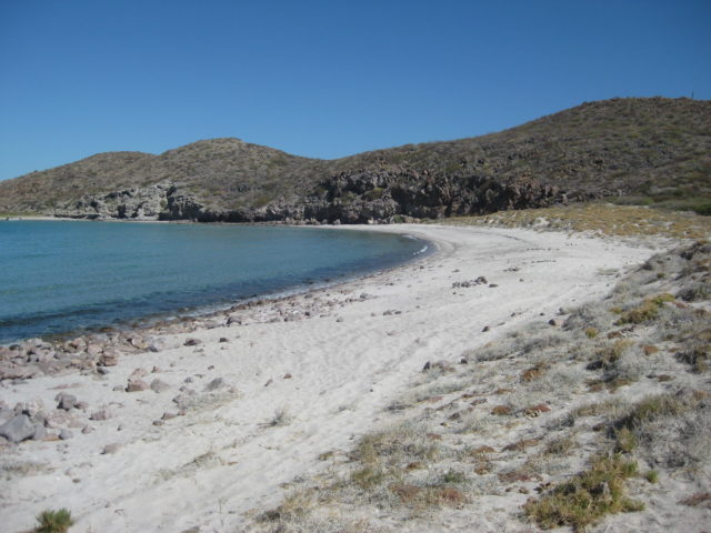
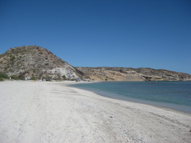
3.3 miles from the fork, or 10 miles from Hwy. 1 is a cattle guard crossing and a fork. I could see many campers to the right, so I first went left about 1/2 mile to a deserted beach:


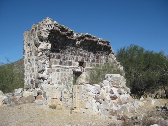
Just south of Km. 30 is a signed road right to the mission site of San Juan Londó, an important visita (mission visiting station/ chapel) of the Loreto mission from around 1705 and later attached to the Comondú mission.
You go just 0.4 mile, and park between the ruins and a ranch. A cemetery is next to the site.


At Km. 26+ is a road that leads east towards San Bruno, the oldest Spanish ruins in California (1683-1685) where an attempt to establish a mission and colony was made.
The military checkpoint is at Km. 24. The did not even look at southbound cars.
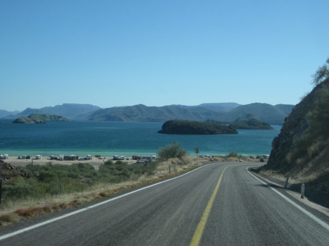
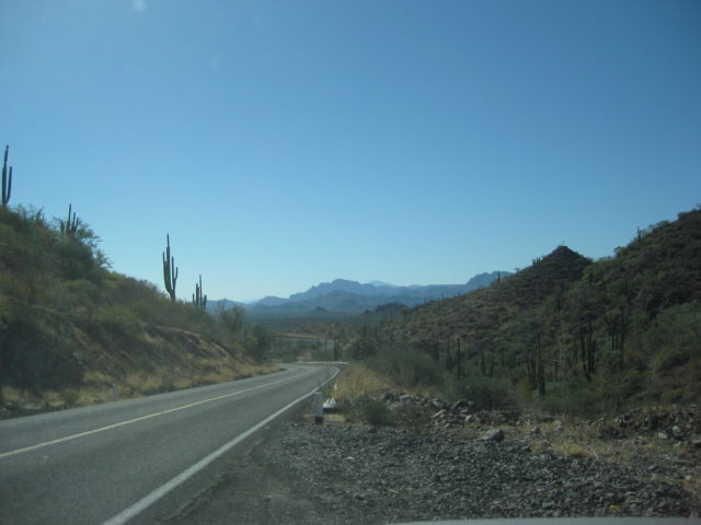
Approaching Loreto…

See Loreto and all the rest, on the next page…