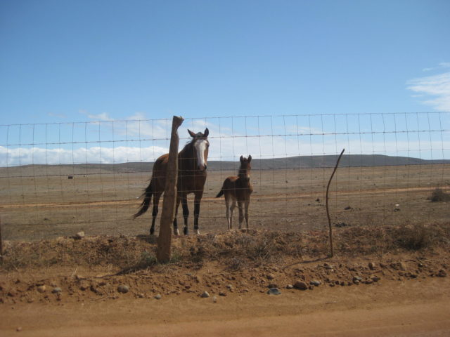
March 28-31, 2022, 8 amigos in 4 vehicles tackled the road to Mission Santa María, also known as “Mission Impossible”. We also visit the grandpa’s home at Ejido Mesa de San Jacinto; El Rosario’s Baja Cactus Motel and Mama Espinoza’s Restaurant; Cataviña; Coco’s Corner; and Rudy’s home south of San Felipe.
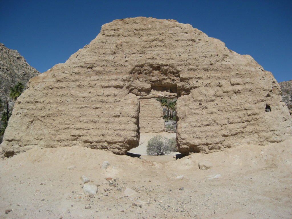
Mission Santa María de los Ángeles was established at this location on May 26, 1767 by the Jesuit Padre Victoriano Arnés. The first location for this mission was at Calamajué. It proved unfit for a mission following seven months, when the heavily-mineralized water at Calamajué wouldn’t grow crops.
The Jesuits were at Santa María for less than 8 months when the King of Spain had all the Jesuit missionaries rounded-up, like convicts, and returned to Spain! Rumors that they were hording treasures being the reason for their arrest. Rumors that were later proven untrue
These adobe ruins date from 1768, during the Franciscan period that began after the Jesuits were removed from their California missions.
Franciscan Padre Juan Leon de Medina Beitia arrived at Santa María in May 1768 and found a crude chapel made of palm logs. He immediately went to work building a proper adobe-brick church and warehouse. The mission was later transferred to the Dominican Order (in 1773) after the Franciscans decided to share California duties with them and concentrate on the land from San Diego and beyond. In less than two years, the Dominicans abandoned this mission, moving its neophytes to San Fernando de Velicatá, the next mission north.
Mission Santa María has been the subject of many travel stories found in books and magazines. Perhaps the earliest is in Arthur North’s Camp and Camino in Lower California (published in 1910). North spent several days at Santa María in 1906. He tells us about a story of a hidden cache of gold in the mission walls. The story was relayed to him some time before his expedition.
These stories of Jesuit treasures are undoubtedly fabrications. The walls at Santa María were made by the Franciscans. A fact not realized by early story tellers. Sadly, stories like that have been responsible for damaging mission walls here and other sites, too.
My first visit to this mission was in 1999, riding a quad from Rancho Santa Ynez. A couple days later, I rode in a plane from Gonzaga Bay over the mission valley, for a high look down. The next three visits were made in my Toyota Tacomas, but always traveling with others: 2003, 2007, and 2010. In 2022, I was privileged to ride with my old Baja Nomad friend ‘TW’… and here is that trip…
Preview video, with sound:
Tom invited me (David) to ride in his 2004 modified Toyota Tacoma.
Tom and his Tacoma
MONDAY, March 28, 2022
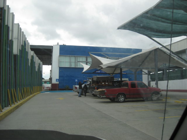
On Monday morning, following the normal traffic rush, we have an easy drive to Tijuana where we stop at the first building in Mexico to obtain our tourist travel permits, called FMMs.
This is the place you go to as you enter Mexico using the far right lane, by the giant flagpole. This is the ‘Something to Declare’ and INM covered parking. INM is the immigration desk that issues or validates the FMM. It is located on the other side of this building. Just walk through. A bank desk and Bathrooms are inside the building.
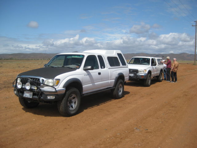
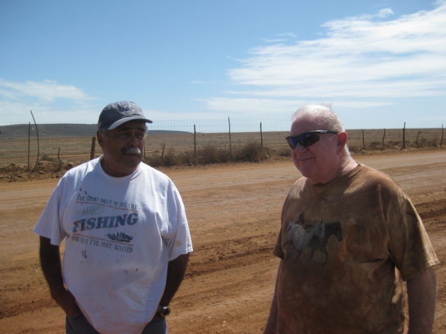
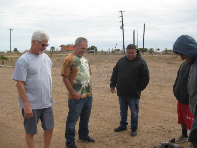
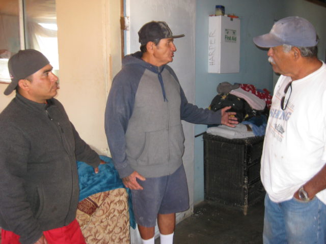
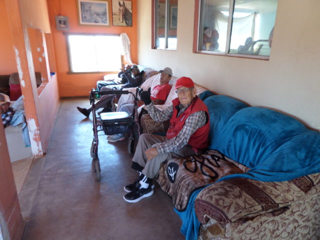
160 miles south of the border, we meet up with Rudy and Ken (also in a Tacoma), who traveled across Baja California from San Felipe to the Elders or ‘Grandpas’ Home at San Jacinto. Joining us there was Ed and Phil (in a Jeep Grand Cherokee) and Debbie and Miriam (in a Jeep Wrangler Rubicon). We had donations of bedding and food for the grandpas.
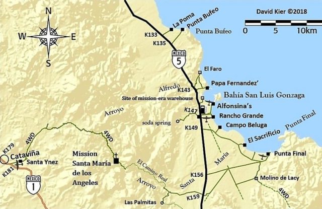
The sign at Hwy. 1 (Km. 149.5) where we turned west. The Grandpa’s home is one mile from here, on the right. Photo from Debbie.We pull over, after passing Rudy and Ken, and they pull in behind.Rudy and TomWe get an audience.GPS for the Grandpa’s: 30°53’10.5″N 116°07’24.9″WHelp the Elders’ home! They appreciate your donations.Phil and Ed arrive and we meet the pastor, Juan. This is the GrupoVisión y Combios, Viviendo para Servir, San Jacinto, aka the Elder’s or Grandpa’s Home. A dog here grabs our attention.Jesus and his taller brother, Guillermo (who explains the program to us). Guillermo speaks English.There were twelve elders living in this home and they were all in the living room watching satellite TV when we arrived. Photo from Tom.This interesting looking round house is where Guillermo and his brother live. I call it a ‘beehive’! The Elder’s home is in the background.The road going west from near the K150 (on this map) is the Grandpa’s road.
Our next stop was El Rosario’s Baja Cactus Motel, always an oasis of comfort before entering the rugged center of the peninsula. We had great meals (dinner and breakfast) at Mama Espinoza’s Restaurant, located next door to Baja Cactus. That night, the (wet) weather front caught up to us with a steady rain. In the morning we had light sprinkles for awhile, as we drove east.
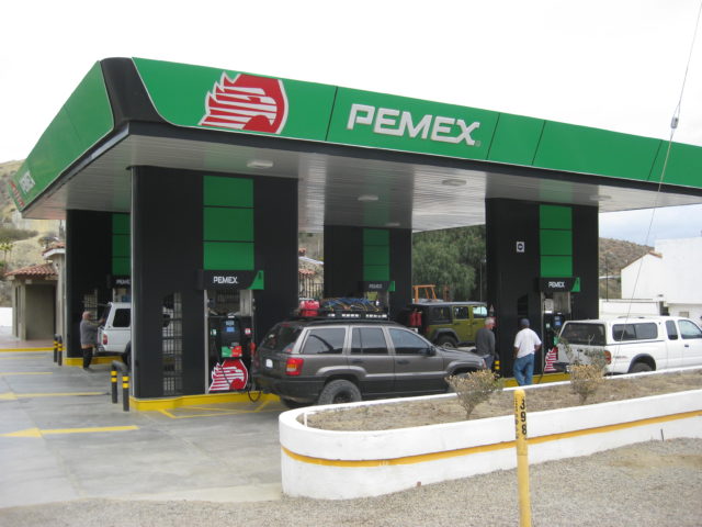
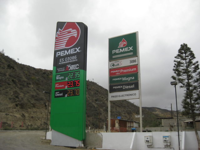
El Rosario’s gas station (owned by Baja Cactus, next door), where our four vehicles all top-off for the big drive, tomorrow!
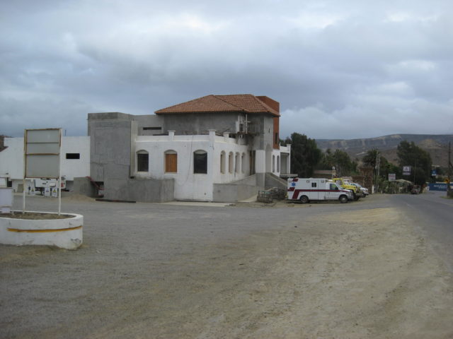
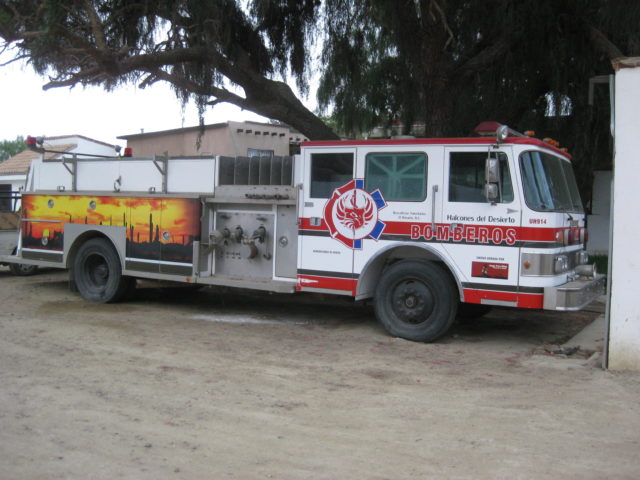
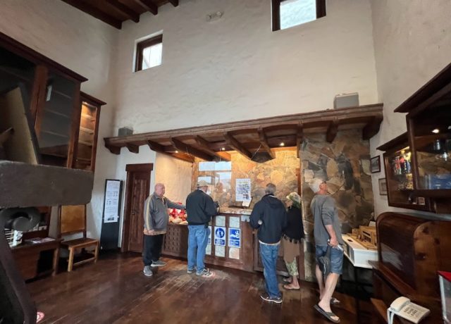
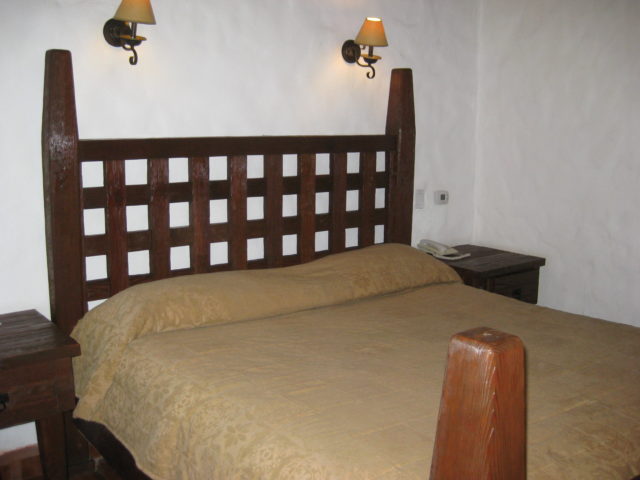
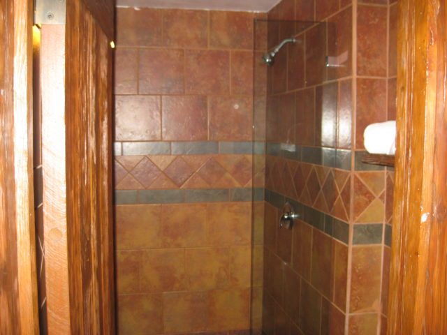
The new Baja Cactus restaurant, spa, events center, and coffee shop, under construction, as seen from the gas station. In front, are the emergency service vehicles of Halcones del Desierto (Desert Hawks), the creation of Antonio Muñoz, owner of Baja Cactus. A donation-funded ambulance, EMT staff, and fire department. Your stay at Baja Cactus and fueling at the Pemex station help this service survive. Gift items, including my books, are sold in the motel lobby to raise funds for the Desert Hawks.The spacious motel parking lot. During filming of Cameron Steele’s Baja action TV shows, Jim McCoy lands his helicopter here.The Desert Hawks helps El Rosario and emergencies over 100 miles away! Click on their PayPal link to help: https://www.facebook.com/HalconesdelDesiertoBaja Cactus Lobby with 24-hour service. Photo from Debbie.Baja Cactus rooms with beautiful architecture and amenities, all for a very low price! A large restaurant/ spa/ events building is under construction in front of the motel, next door to the gas station. Ed and Miriam are on the way to their room. Photo from Debbie.Baja Cactus Rooms come with king beds, bottled water, coffee makers, satellite TVs, Wi-Fi, and telephones, able to call anywhere.Beautiful, large walk-in showers and spectacular tile work are a feature of Baja Cactus rooms.
Dinner time!
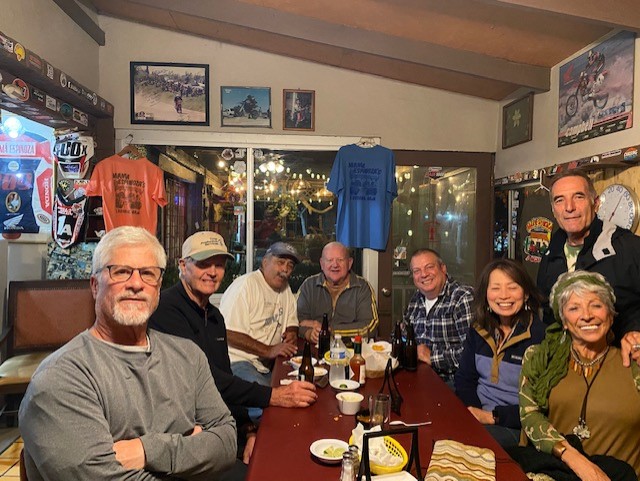
A short walk from Baja Cactus Motel to Mama Espinoza’s.Page one of the Mama Espinoza’s menu. Photo from Debbie. I recommend the Crab soup (Caldo de jaiba)! I also had the Crab-stuffed (De jaiba) chiles rellenos.Mama Espinoza’s is a Baja museum with off-road racing being a big feature. Photo from Debbie.Our first group dinner, Mama Espinoza’s. L to R: Phil, Ken, Rudy, Tom, David, Debbie, Ed, Miriam. Photo from Miriam.
TUESDAY
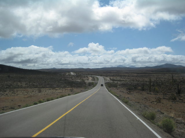
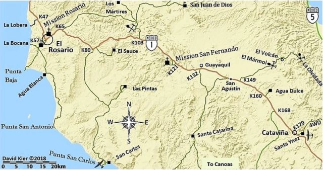
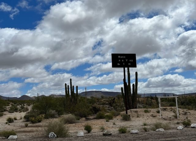
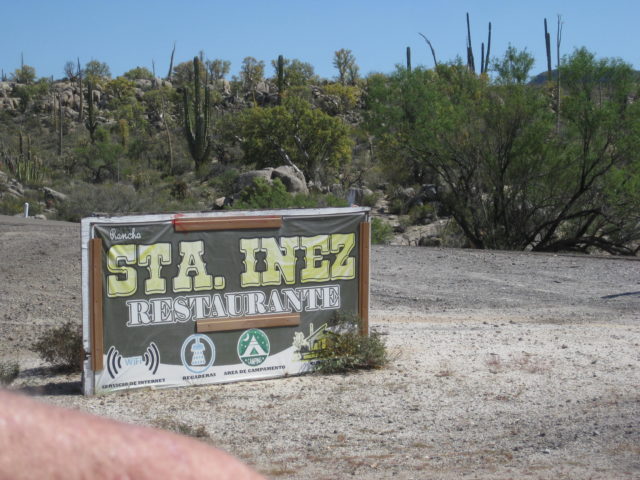
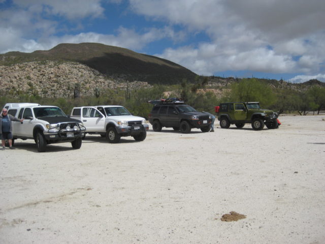
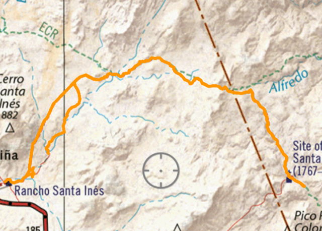
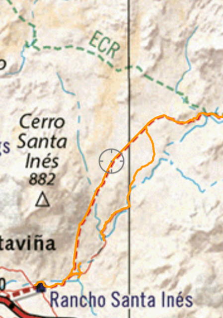
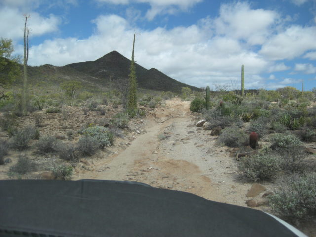
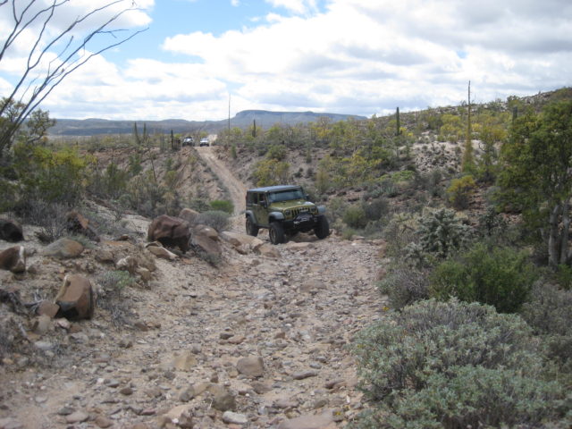
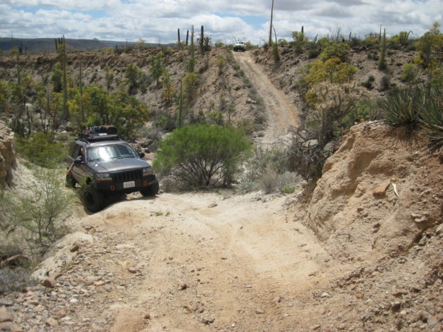
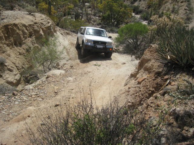
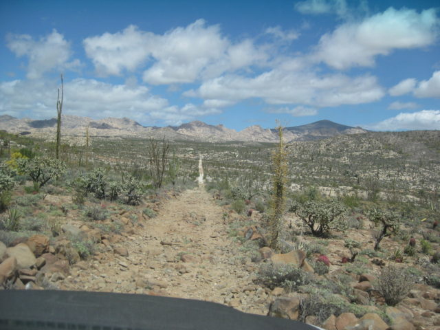
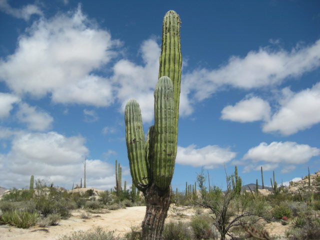
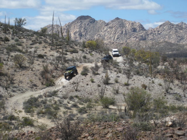
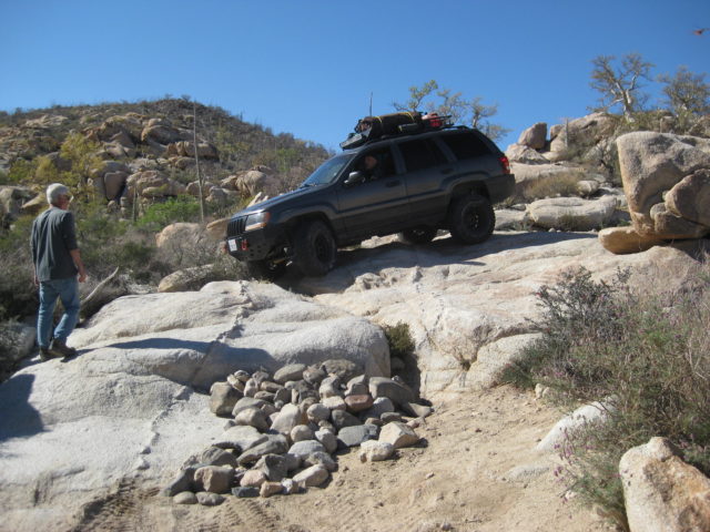
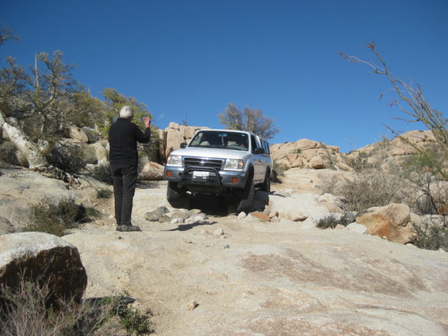
Highway 1, heading east and south from El Rosario as we leave the rain behind us. We had only clear skies the rest of the trip.The drive to Rancho Santa Ynez from El Rosario is 77 miles (124 kms.).A mile past Cataviña is the worn sign for Rancho Santa Ynez, 1 km.No matter how you spell it, this is where the road to Mission Santa María begins.In the large camping area of Santa Ynez/Inez/Inés, we line up before the four-wheel-drive road begins. Tom is next to his Tacoma, then Rudy’s Tacoma, Ed’s Grand Cherokee, and Debbie’s Rubicon.The drive to Mission Santa María is just over 14 miles from Santa Ynez. It took us 6 hours with stops for photos, repairs, tire change, and spotting for best tire placement on the steep grades.My track going to and returning from the mission that shows both routes leaving Santa Ynez.Close up of the two routes… for a short distance the tracking was turned off in the arroyo.Leaving the ranch, you drive to the arroyo, then to a fork at Mile 0.9. The choice of a mostly easy, sandy drive (right fork) or the original rocky road, above the arroyo (left fork) which has a big gully crossing about two miles from the ranch. We took the old, rough road, because that’s how we like to ride! LOL, no, it was an accident, but we survived!Tom and I were the lead vehicle, the Jeeps were the middle vehicles, and Rudy and Ken were the caboose Tacoma.
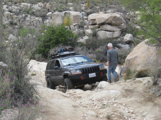
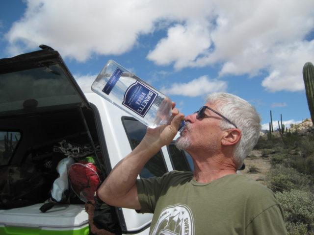
Spotting for tire placement is the job of the passenger. The Cherokee has no lockers, and needs some extra attention from Phil.All that spotting drives Phil to drink!
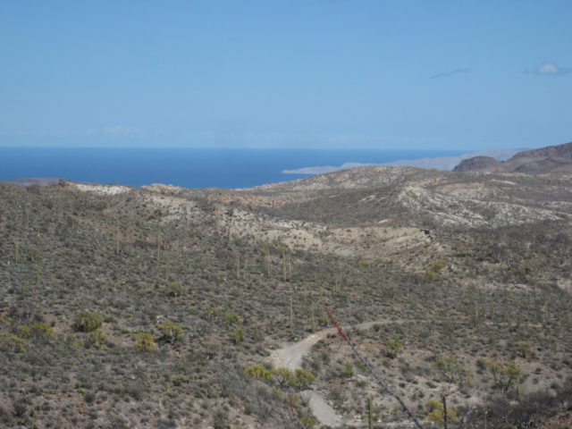
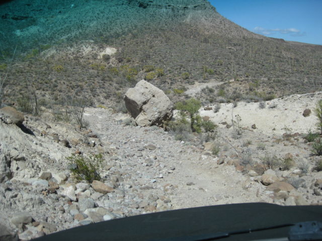
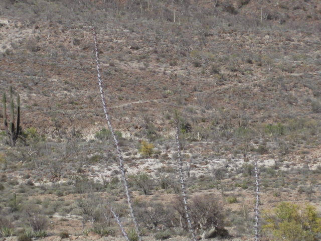
The highest point on the drive is the peninsular divide, about 10 miles from Santa Ynez. In the distance is Punta Final, Gonzaga Bay. This road was built in the early 1960s to connect Santa Ynez with Punta Final. Road builder Fred Hampe got about two miles past the mission, came to a huge canyon drop-off, and abandoned the project.A boulder next to the road that dwarfs our truck as we drive by.See that trail to the north of the road? It is the Antelope Spring Trail that we also call the ‘Cargo Trail’ which Junípero Serra ordered to be built as a supply line for the future missions of San Fernando to San Diego. It begins at the warehouse remains on Gonzaga Bay and meets El Camino Real near the bottom of the divide grade. The new Baja Atlas from Benchmark shows it as well as the rest of the mission road from Loreto to El Rosario.An example of recent road building: adding rocks to reduce the drop/climb height.