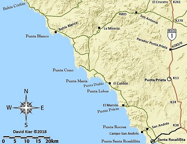
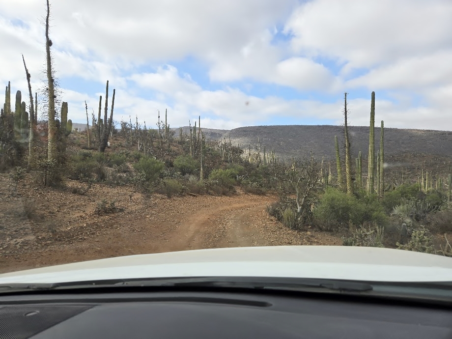
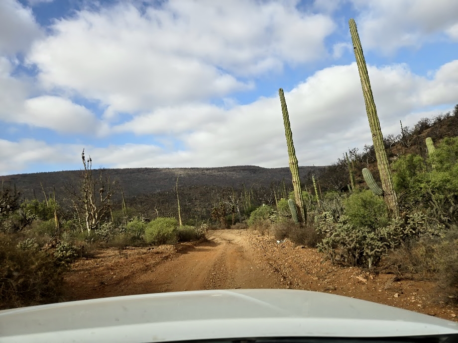
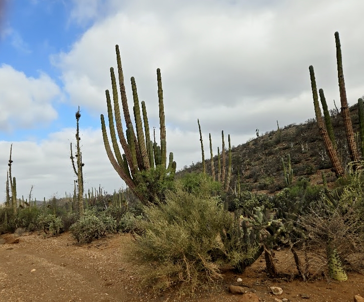
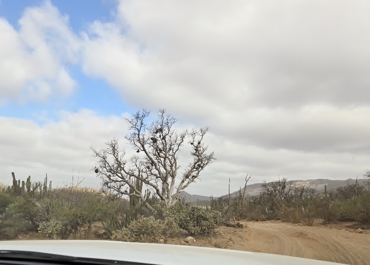
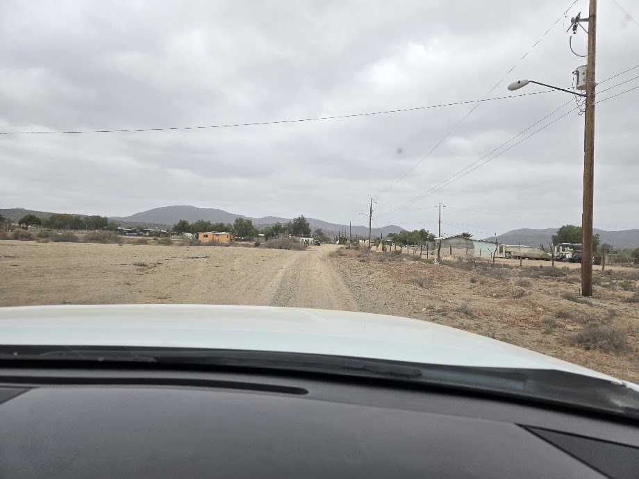
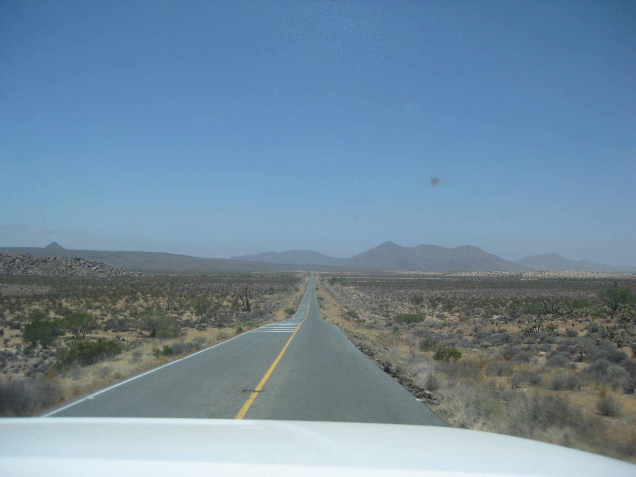
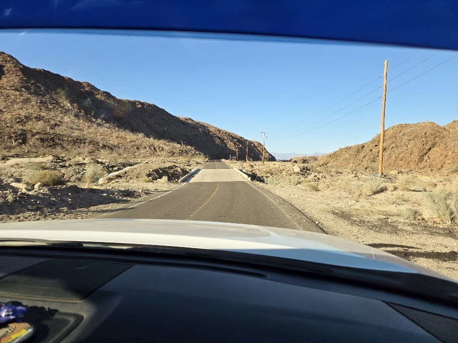
We continue onto Mex. #1, at Km. 261 (‘El Crucero’), then south to Parador Punta Prieta (Km. 282) and take the 40-mile-long highway to Bahía de los Angeles.
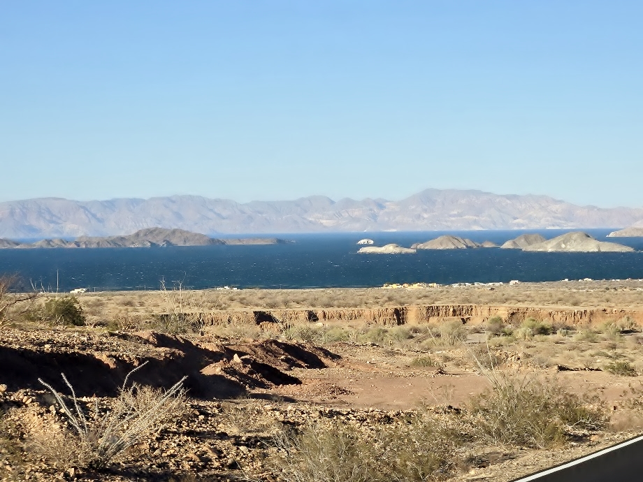
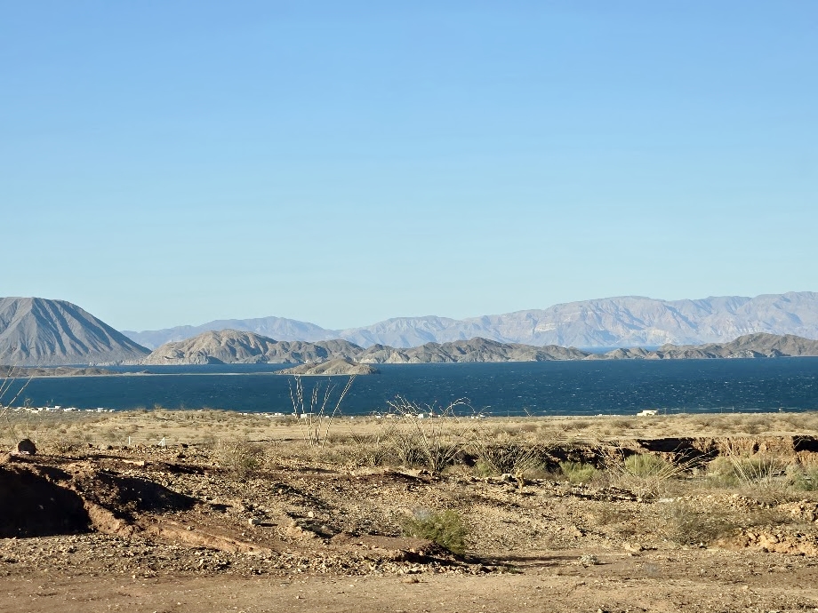
The highway into Bahía de los Angeles had been badly damaged by hurricanes, two years in a row. Repairs are nearly completed with new, larger bridges. The view of the ‘Bay of Angels’ is one of my finest traveling memories.
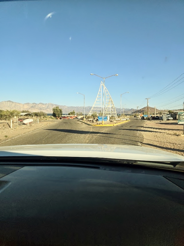
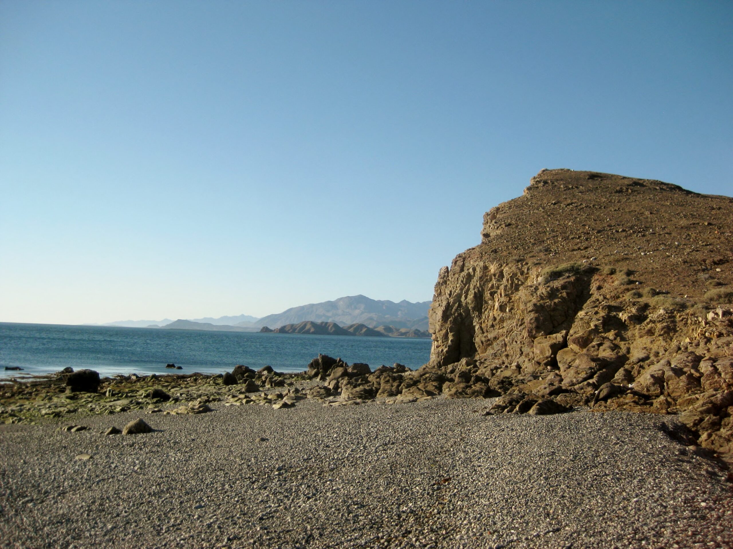
That is Punta La Gringa, on the left/ center. The north end of L.A. Bay. The volcano on the left edge is Smith Island.Sailboat monument in the traffic circle/ junction to north hotels and campos + La Gringa.
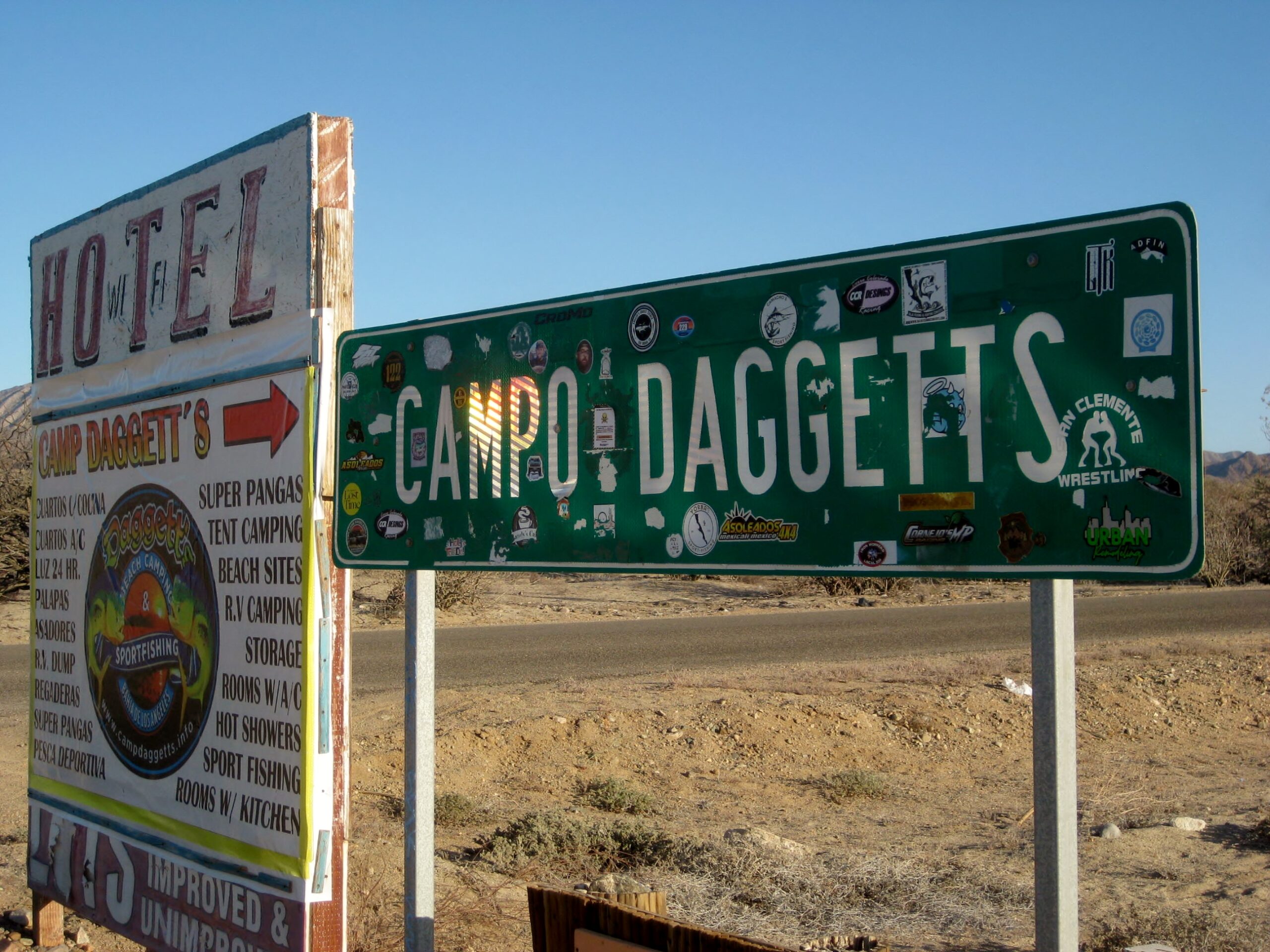
It is a busy day in L.A. Bay, with the fishing tournament going on. Most places are booked for the night! We luckily got a 3-bed-room at Campo Daggetts: https://www.facebook.com/campodaggetts/
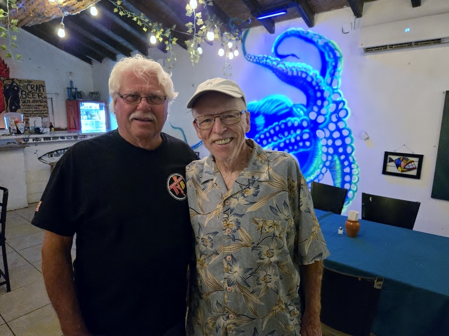
We had earlier contacted Baja adventure author Graham Mackintosh, an area resident, to have dinner with us. I first met Graham in 1990, during one of his popular slideshows about how he walked around the coast of Baja (3,000 miles) and wrote his first book, Into a Desert Place. In 2016, Graham wrote a nice review for the back cover of my book, Baja California Land of Missions.
David Kier and Graham Mackintosh, 2026LeMoine Fulton and Graham Mackintosh
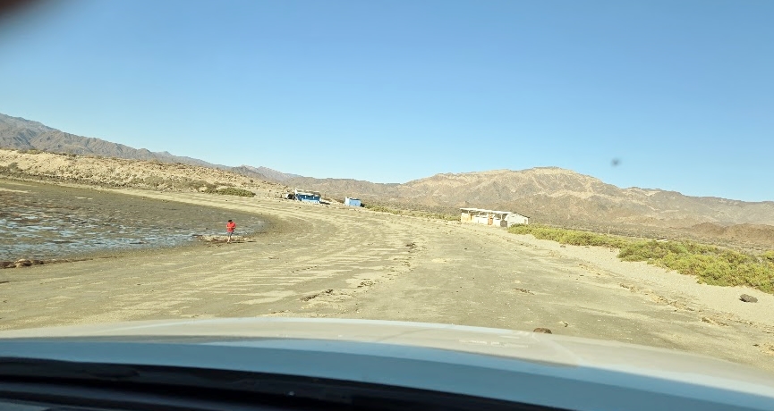
The wind was blowing pretty hard and we felt bad for the fishermen. Still, we had a good sleep. The next (Saturday May 16, 2026) morning, we did a little shopping then drove to Punta La Gringa.
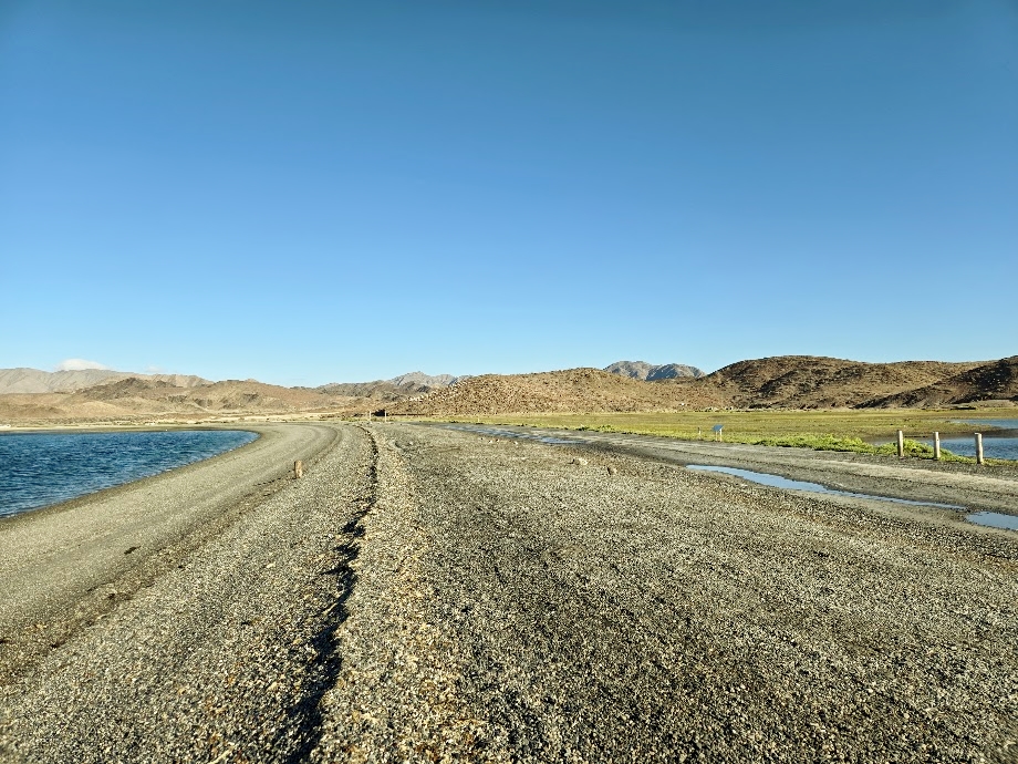
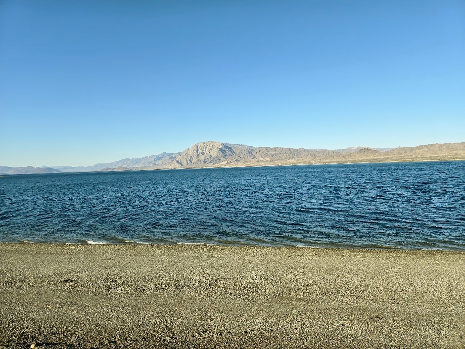
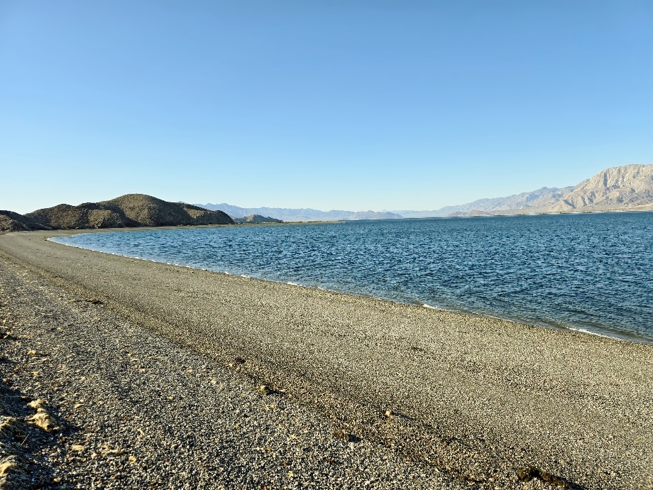
The gulf side of La Gringa:
The bay side of La Gringa:
A sand beach then changes to a gravel beach…
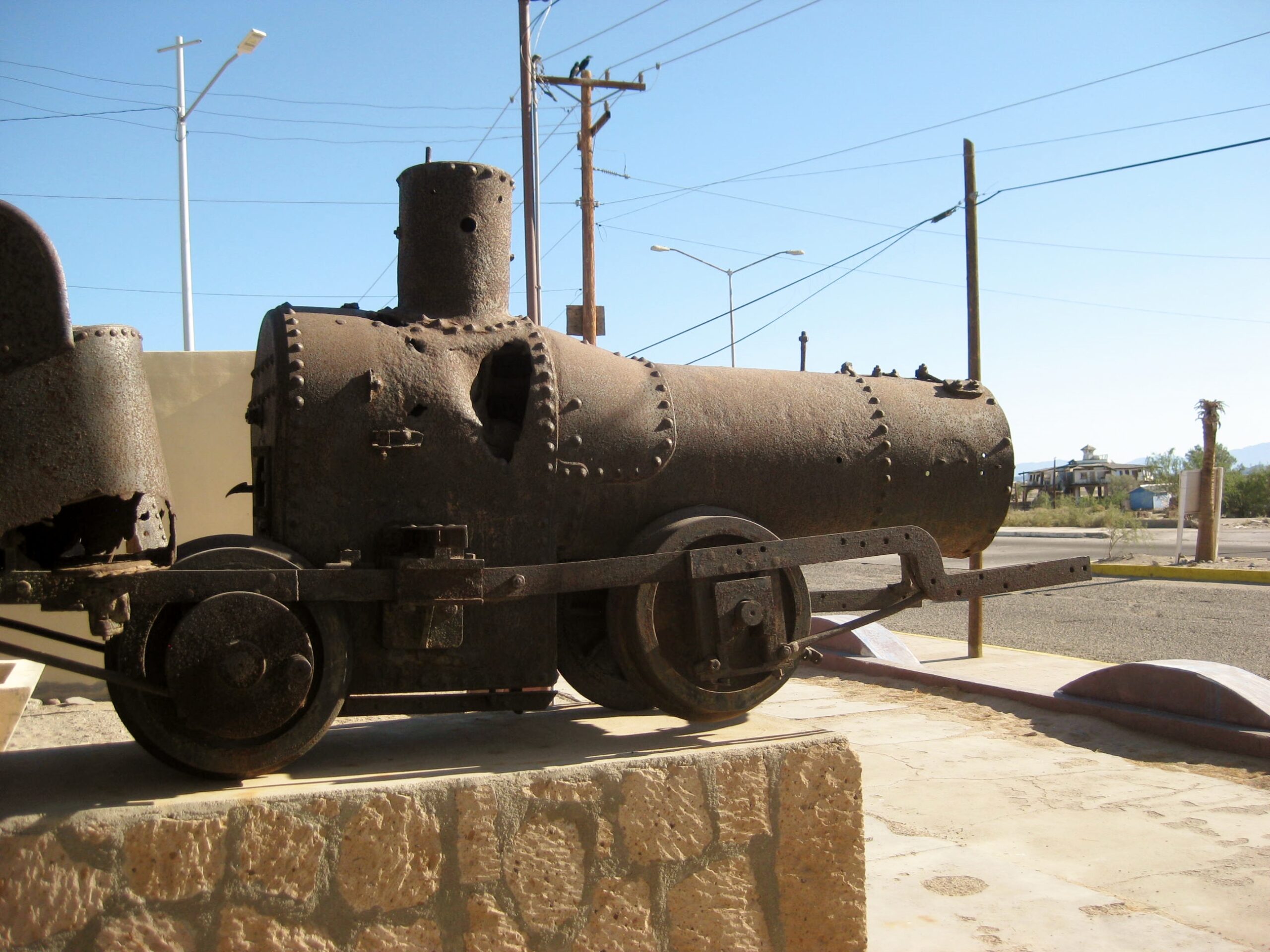
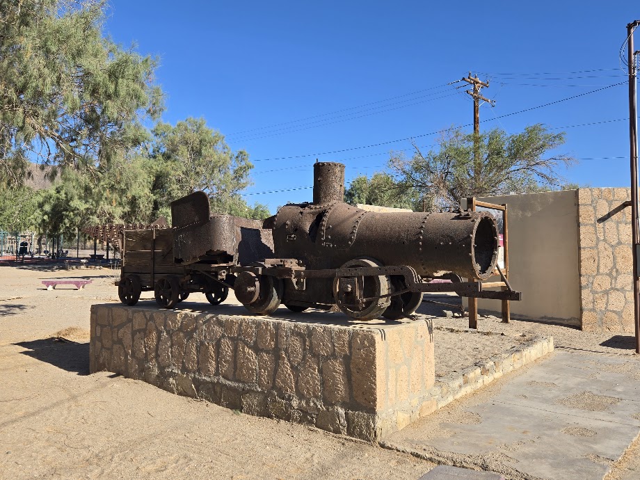
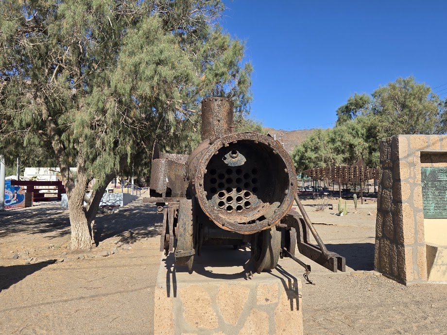
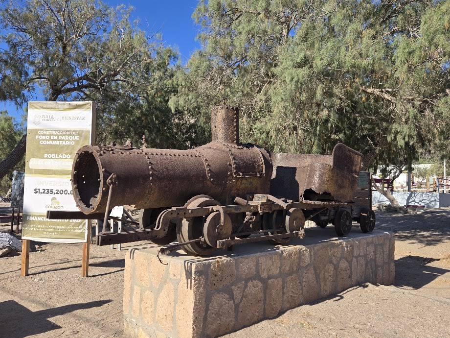
The Las Flores Train Engine, moved the to town plaza from 10-miles south.
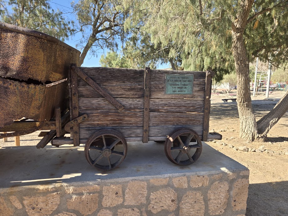
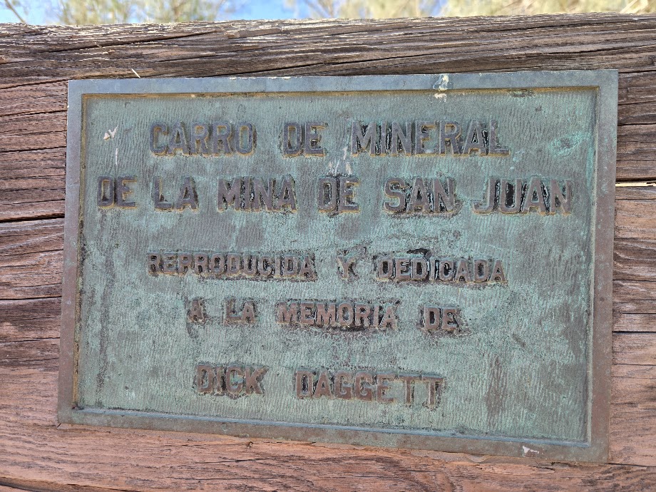
The ore cart is from the mule-driven railroad at the San Juan mine, high above and south of Las Flores. Close inspection shows it is of a different gauge railroad. See plaque, below: “Ore Cart of the San Juan Mine. Reproduction and Dedicated to the Memory of Dick Daggett”
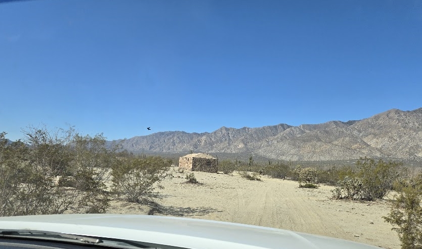
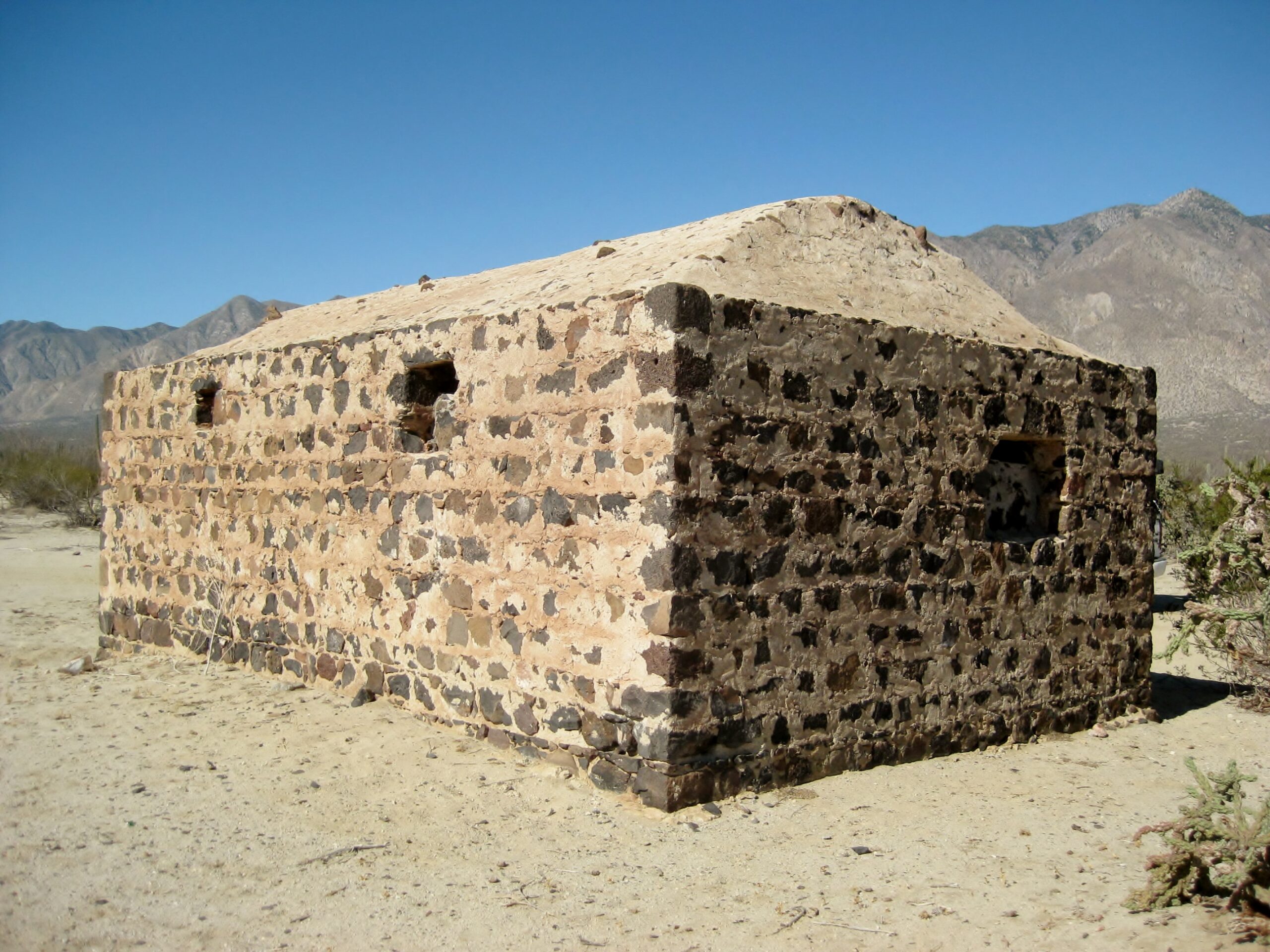
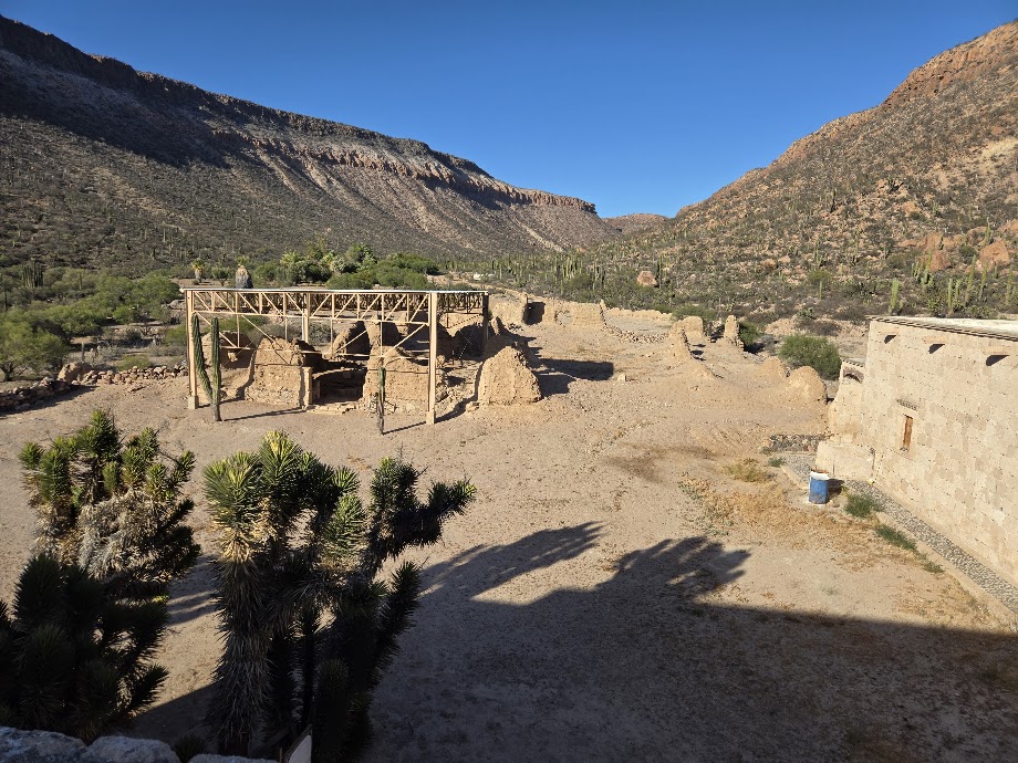
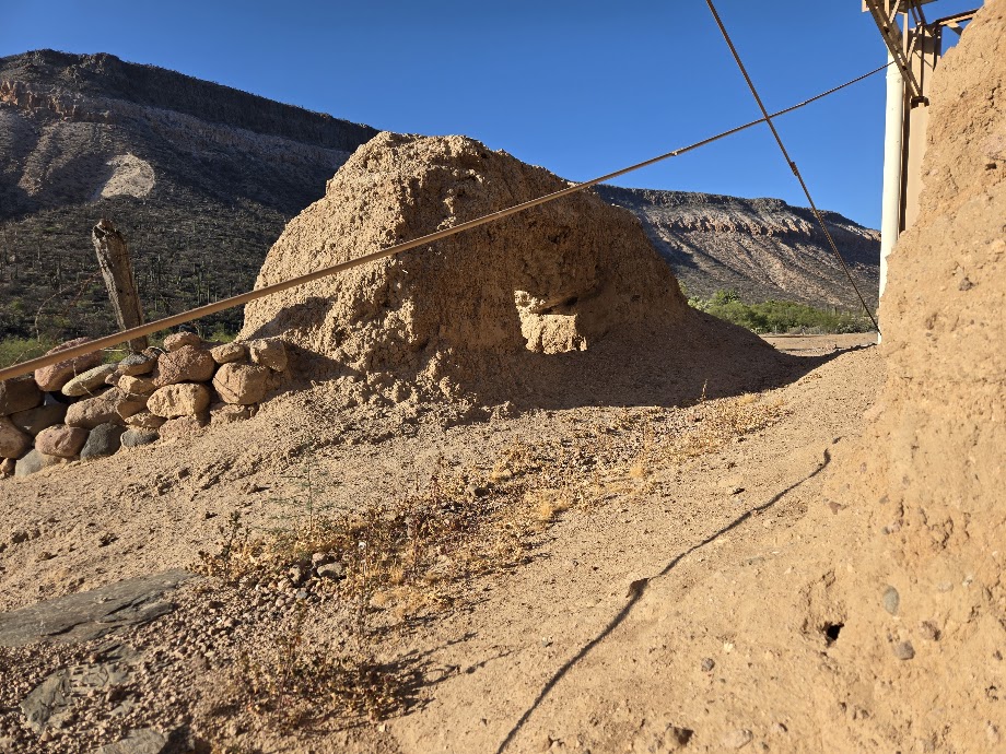
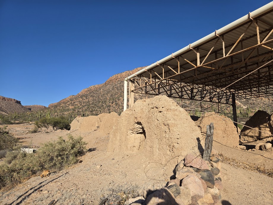
Las Flores
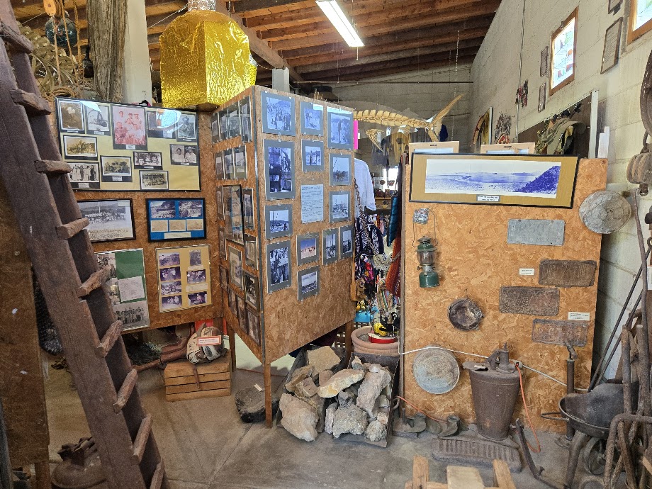
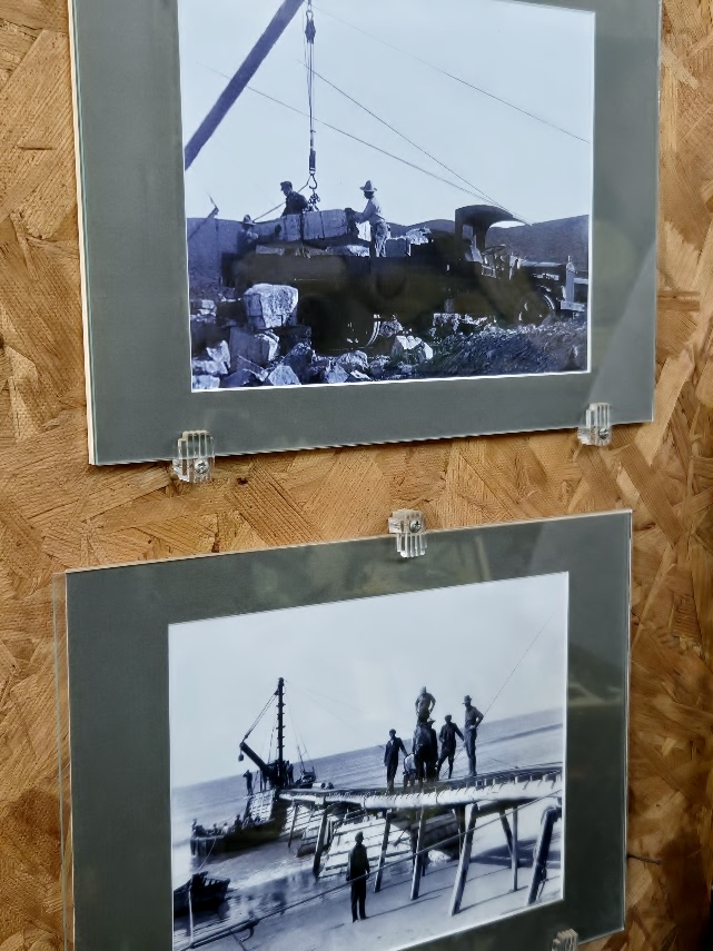
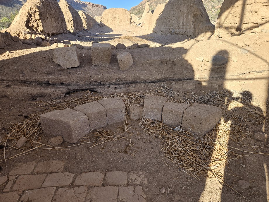
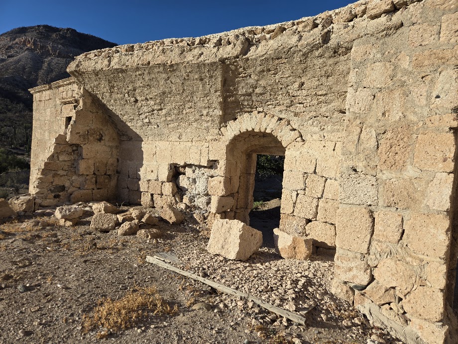
A mine-town-site, 9.7 miles south of town (Bahía de los Angeles) and 1/4 mile west of road. The railroad engine on display in town came from Las Flores. Ore buckets that filled the train carts, and more history, can be seen at the museum in L.A. Bay.
GPS: 28°49.09′, -113°31.77′ The site of a large gold and silver processing operation with ore coming here via railroad and aerial tram bucket line from high atop the mountain, 5-miles-south. Read more: https://vivabaja.com/las-flores-railroad/ and in a Baja Bound article: HERE
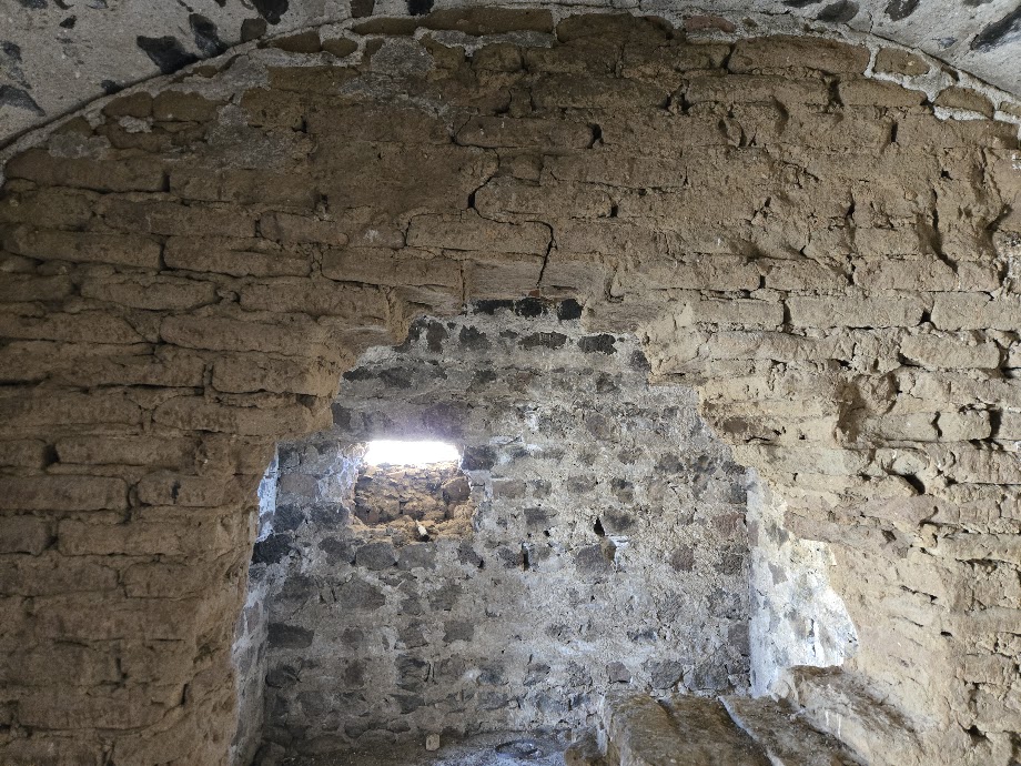
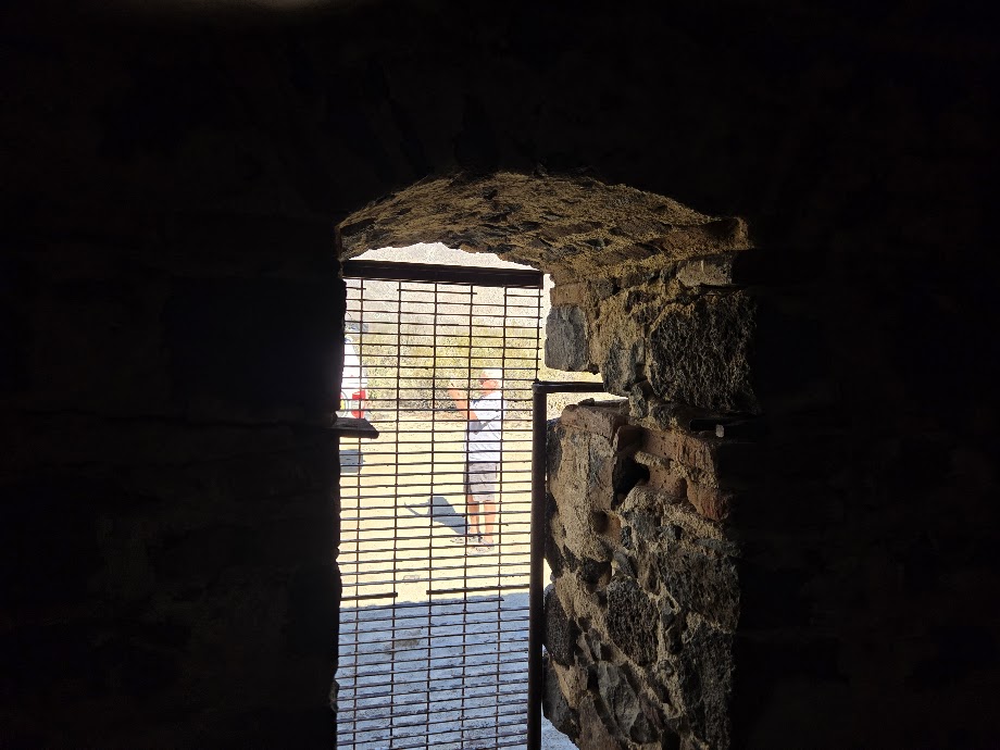
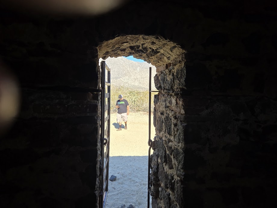
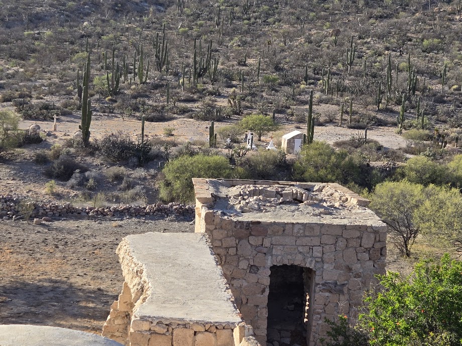
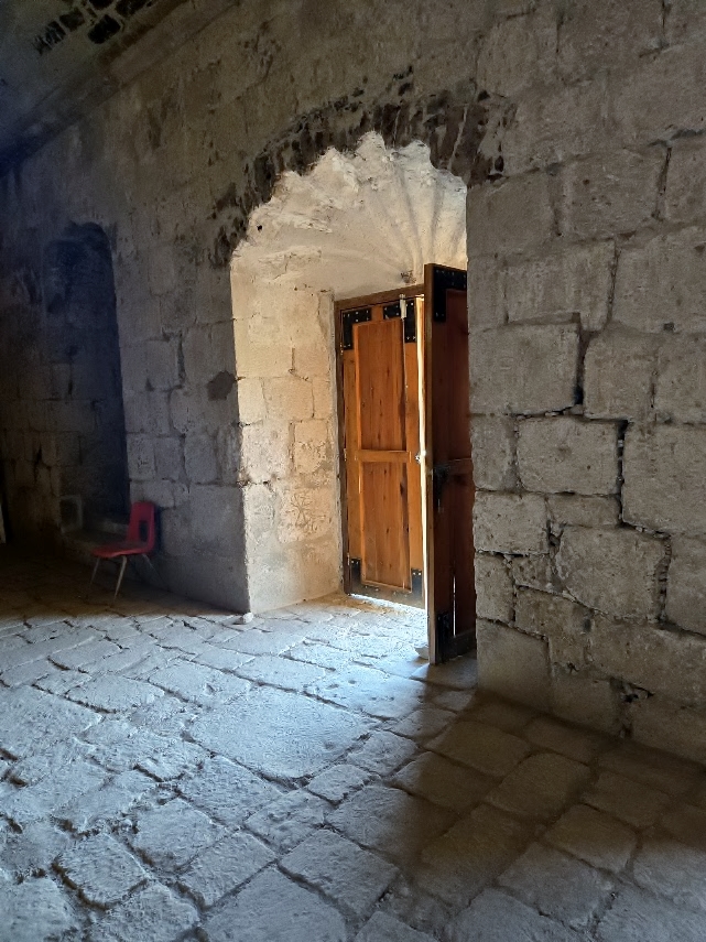
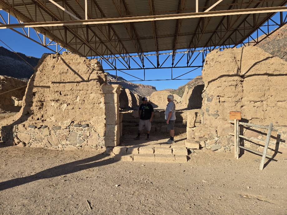
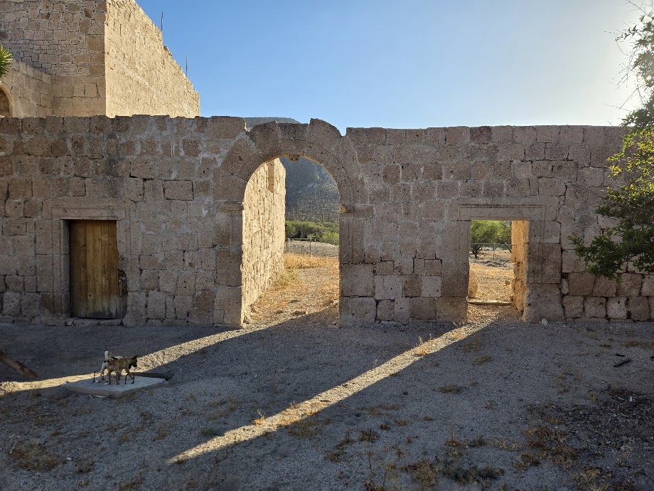
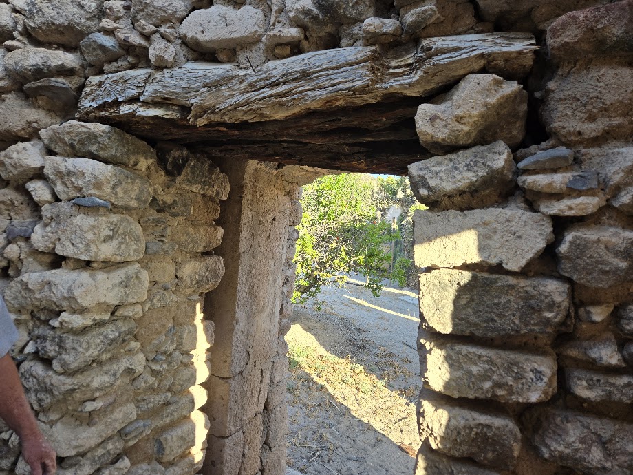
The only building still intact is the jailhouse, which was probably also bullion storage.
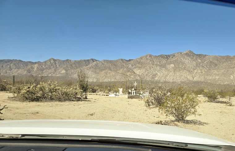
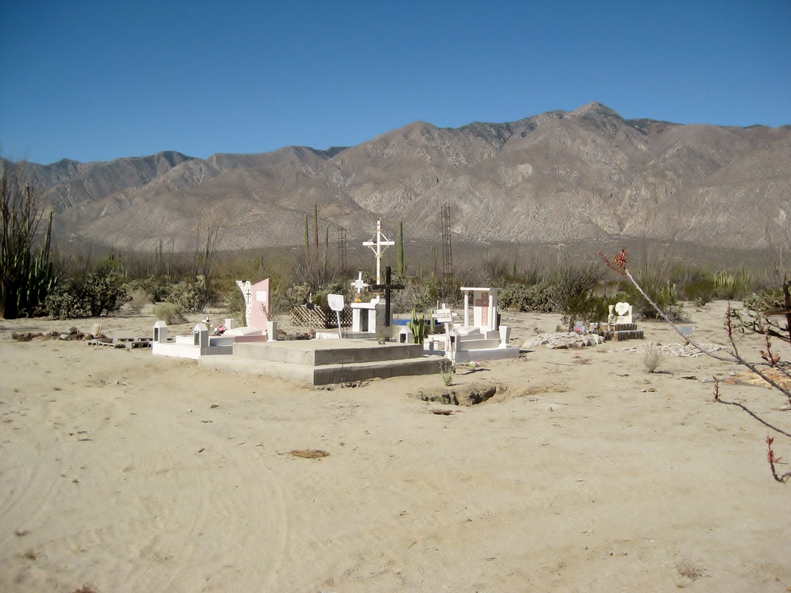
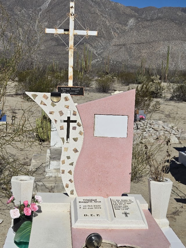
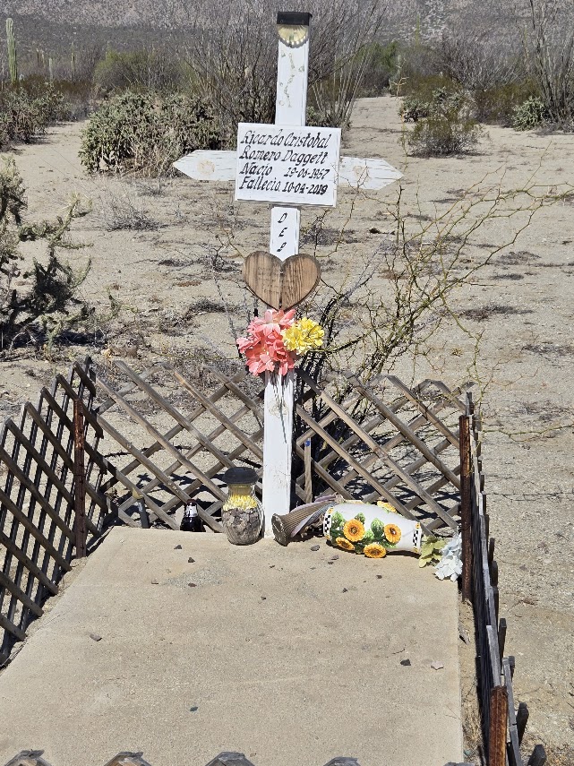
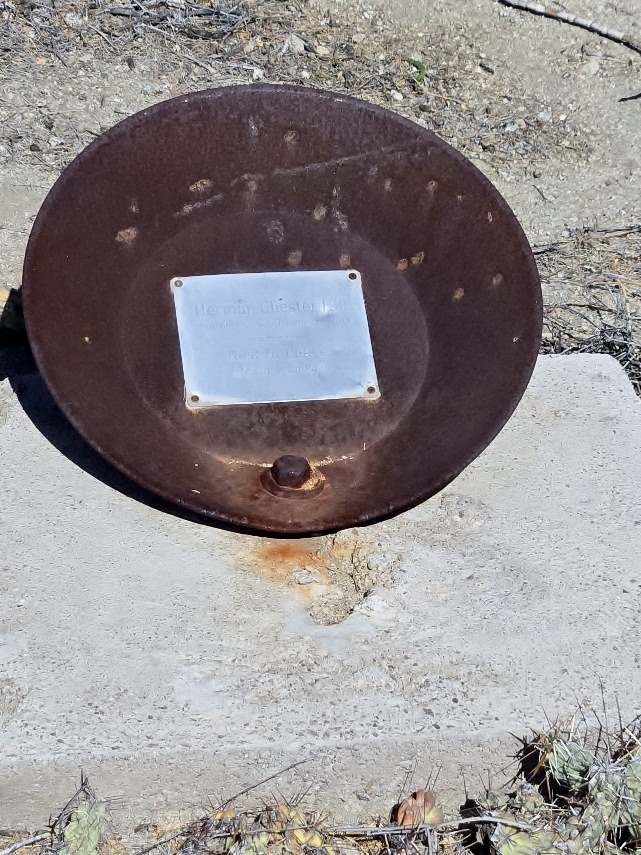
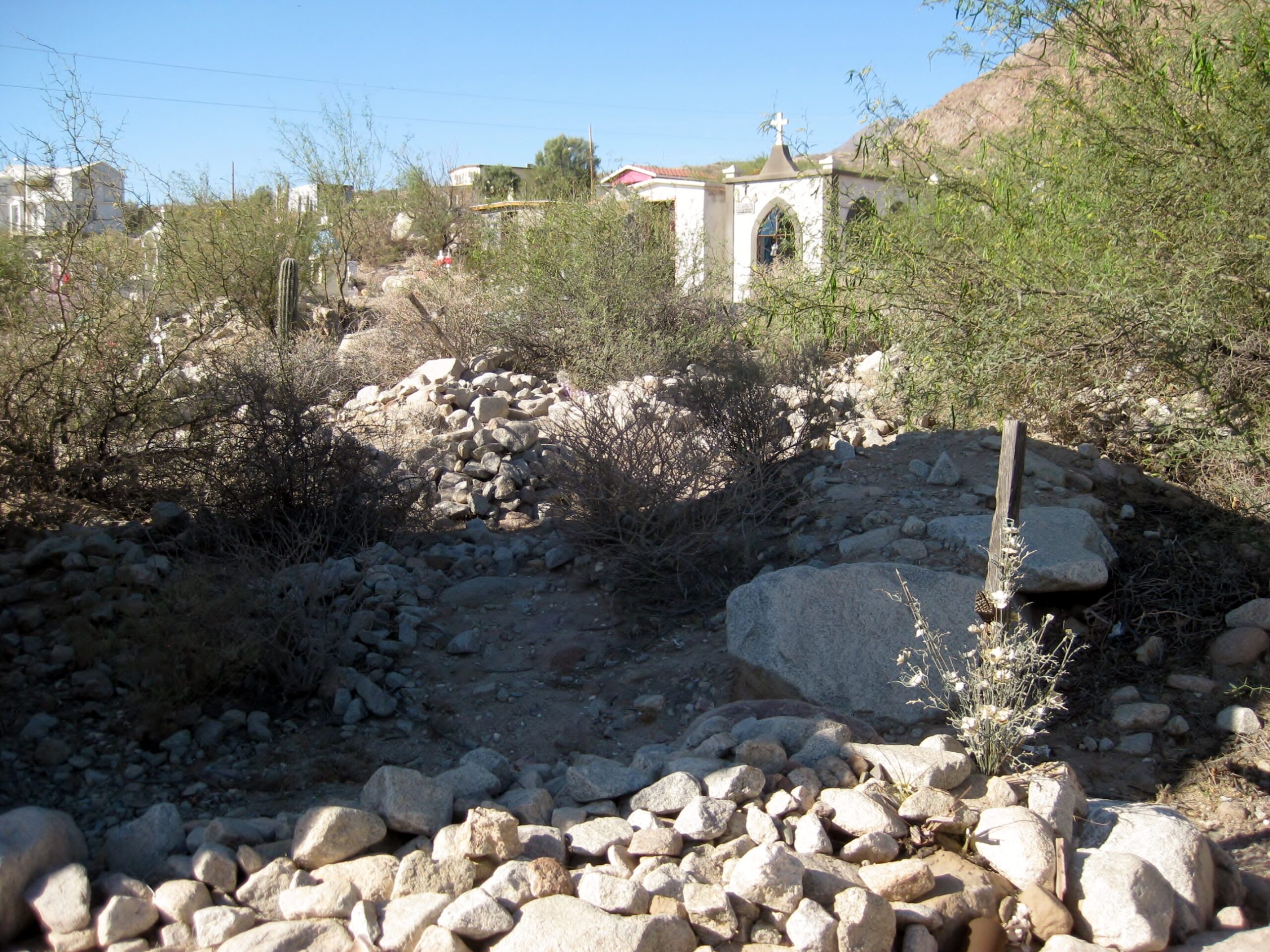
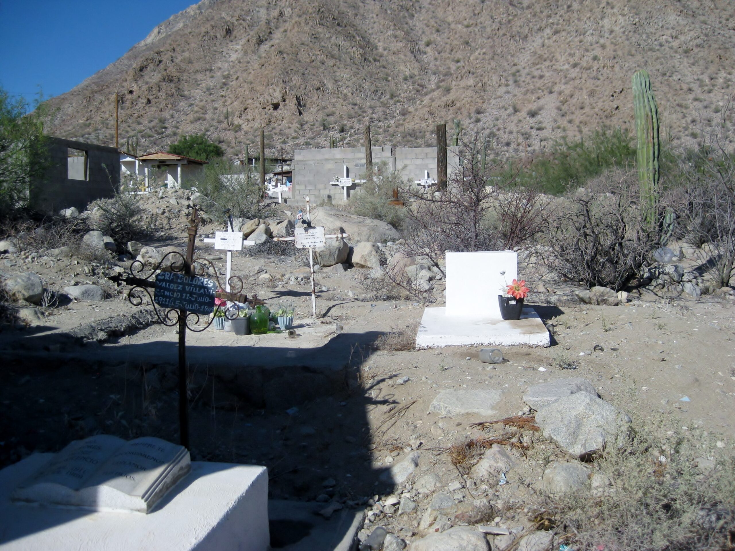
A small cemetery is a short walk northwest of the jail. It holds many of the Daggett family members. The largest grave marker is for Dick Daggett Jr., son of the miner who prospected around the L.A. Bay and Calamajué regions. I met Dick Jr. in 1967, where he lived worked as a mechanic, in Bahía de los Angeles.
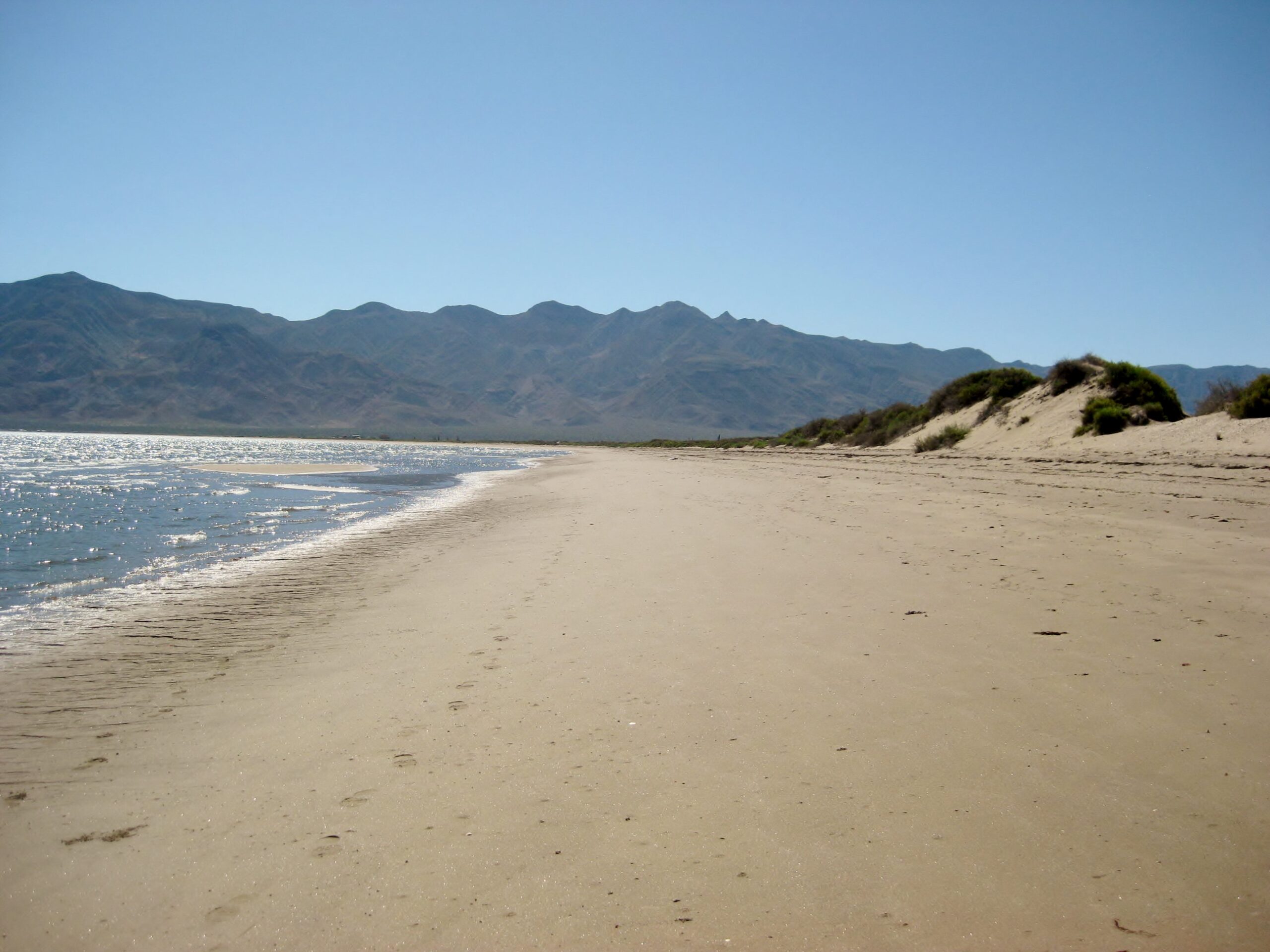
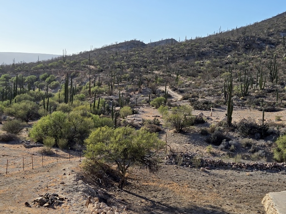
Midway back to town, we take a side road to see the south end of Bahía de los Angeles:
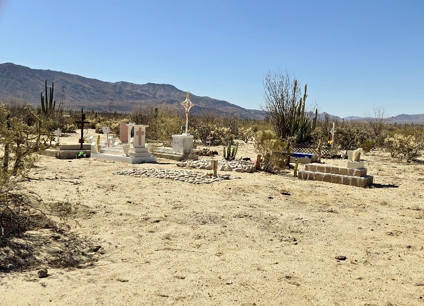
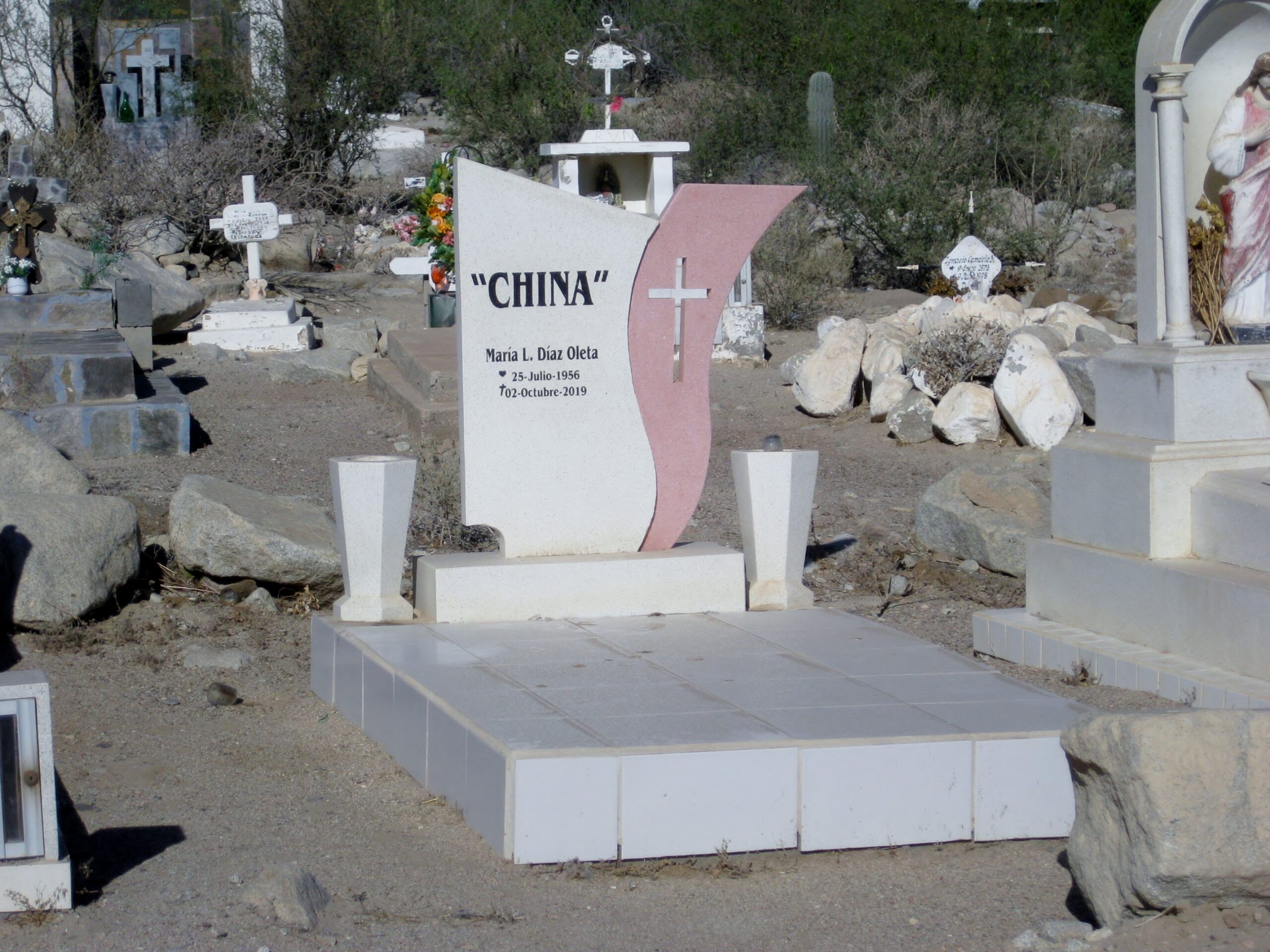
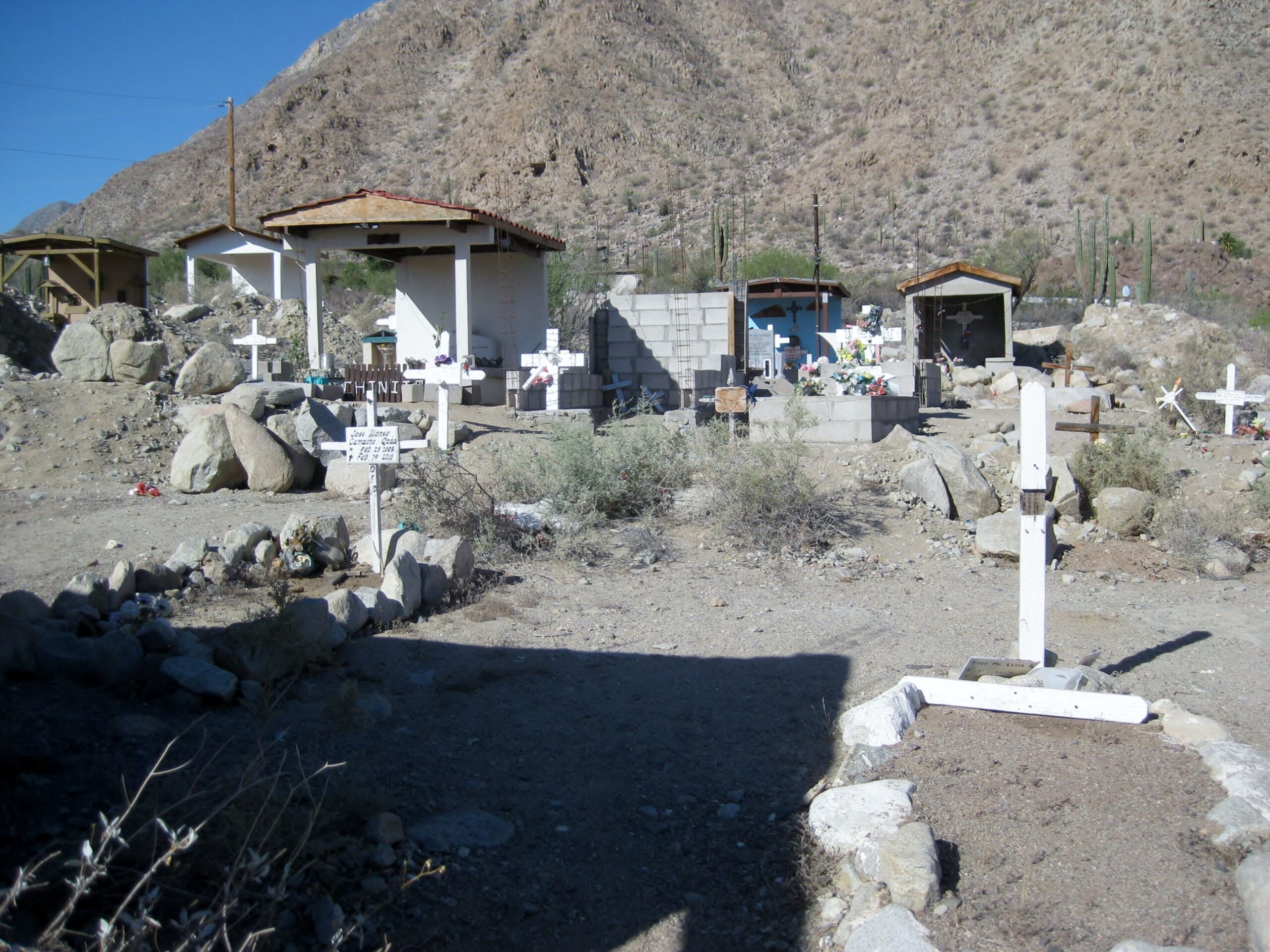
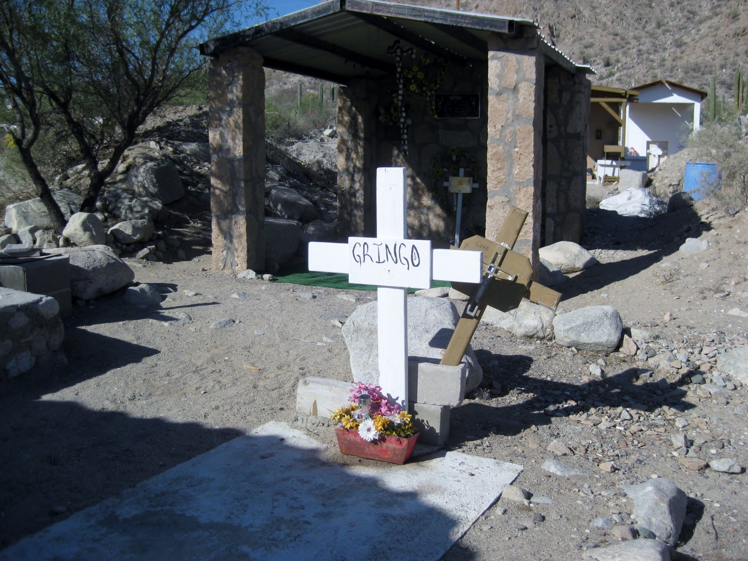
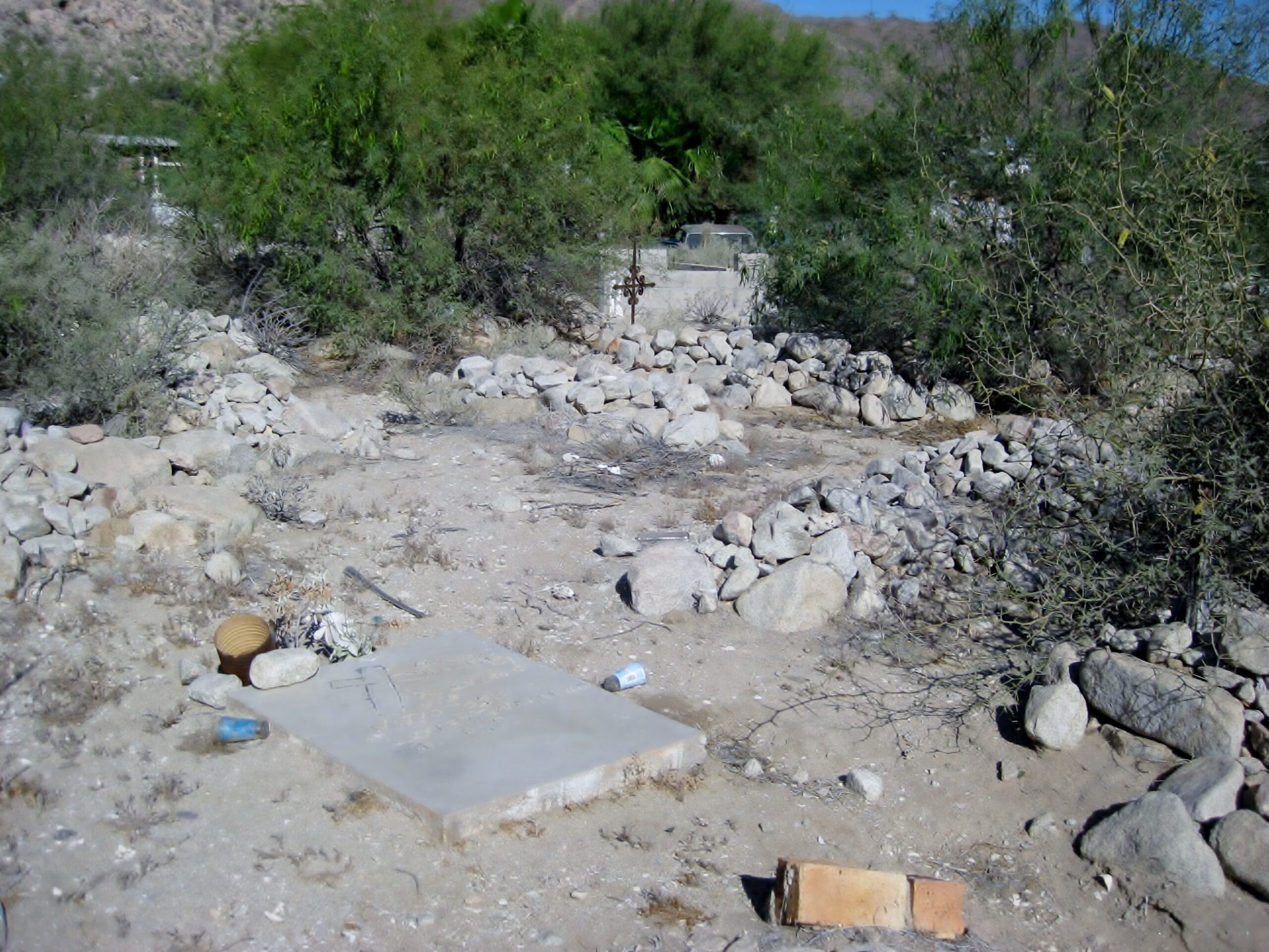
The L.A. Bay town cemetery
“China” (say ‘chee-nah’) was best known as the taco stand lady. Perhaps some of Baja’s best fish tacos came from her kitchen.
China, in 2009:
The last time she made me tacos was in 2017. She is sadly missed. However, her daughter has taken over and was open in 2026.
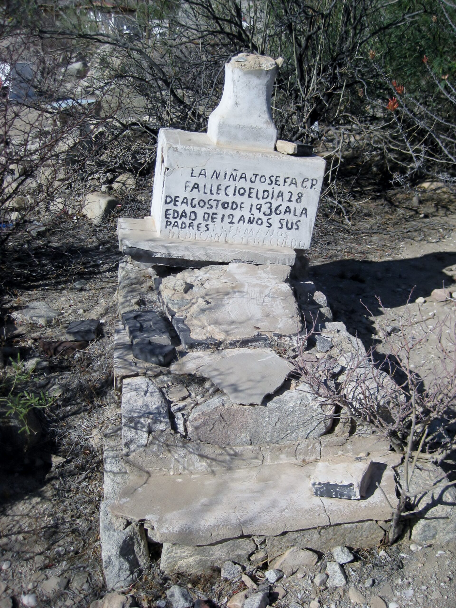
Back to the grave photos…
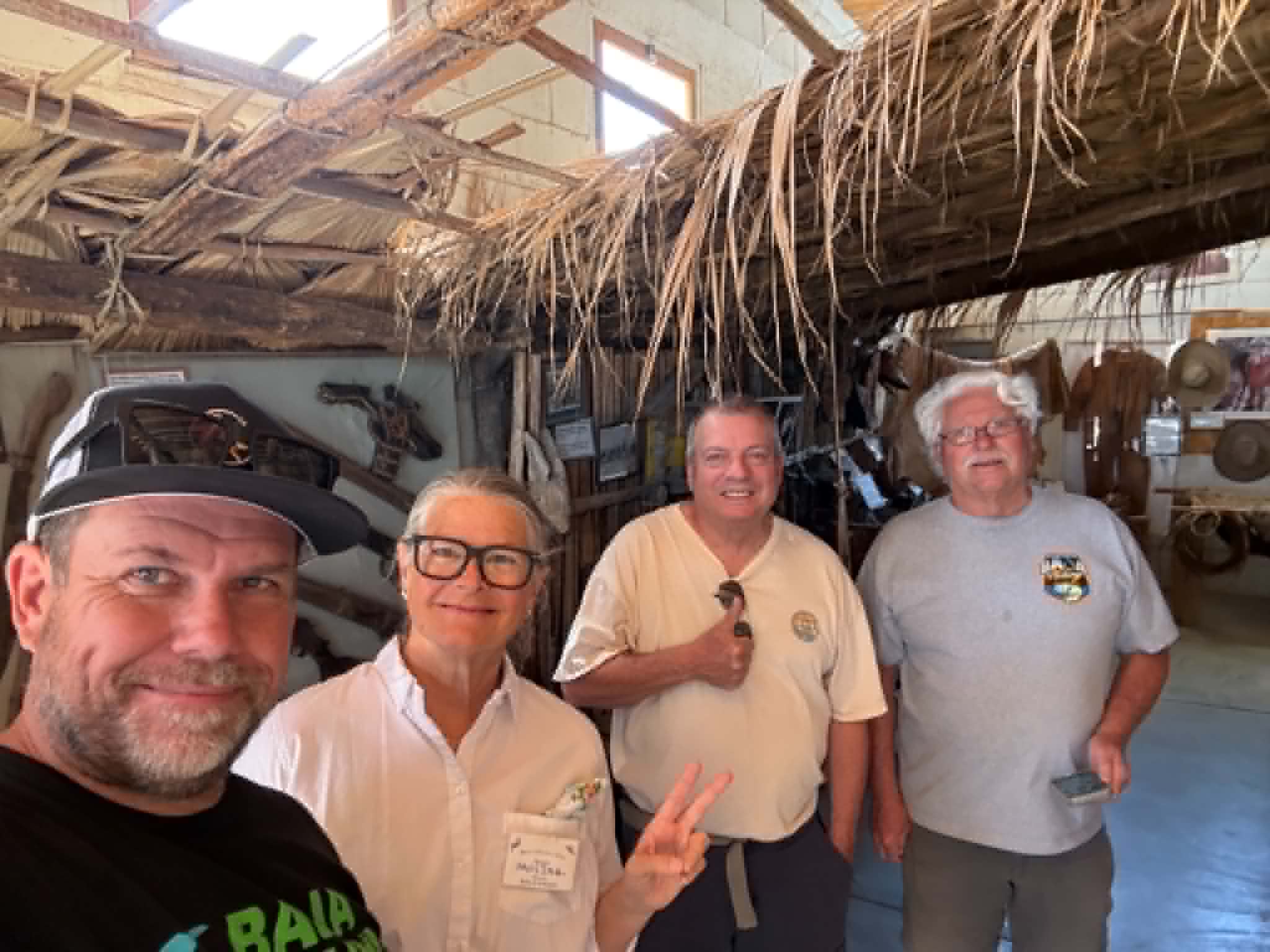
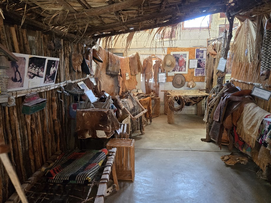
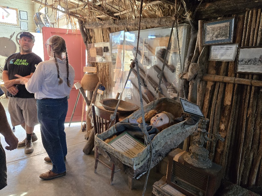
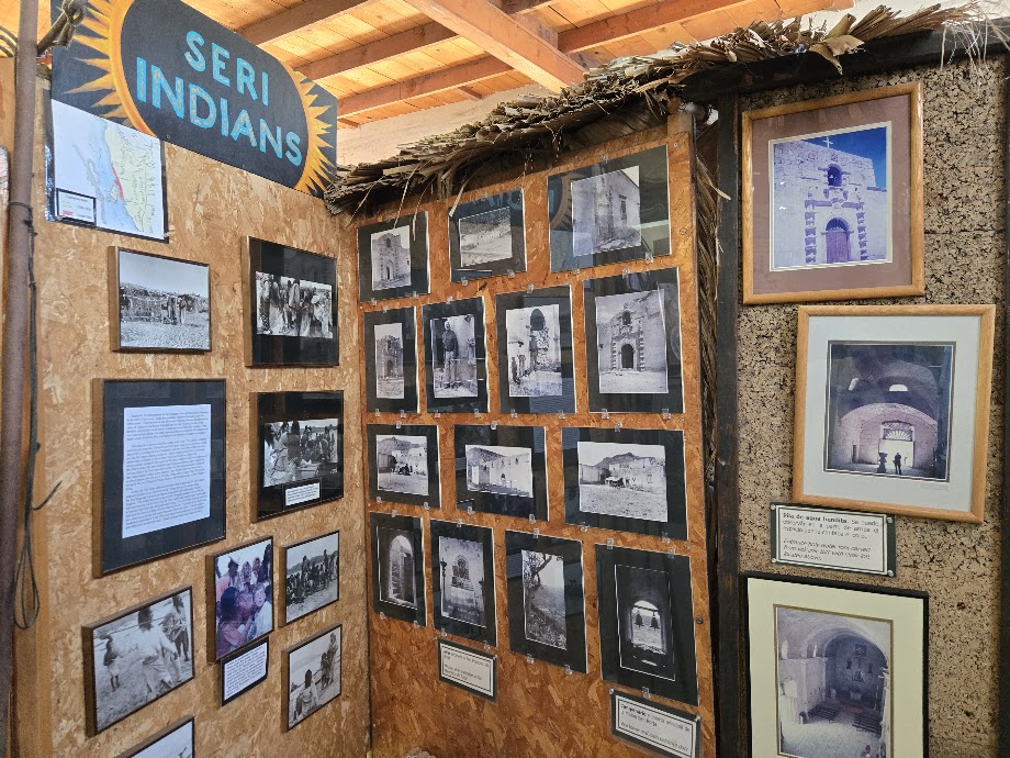
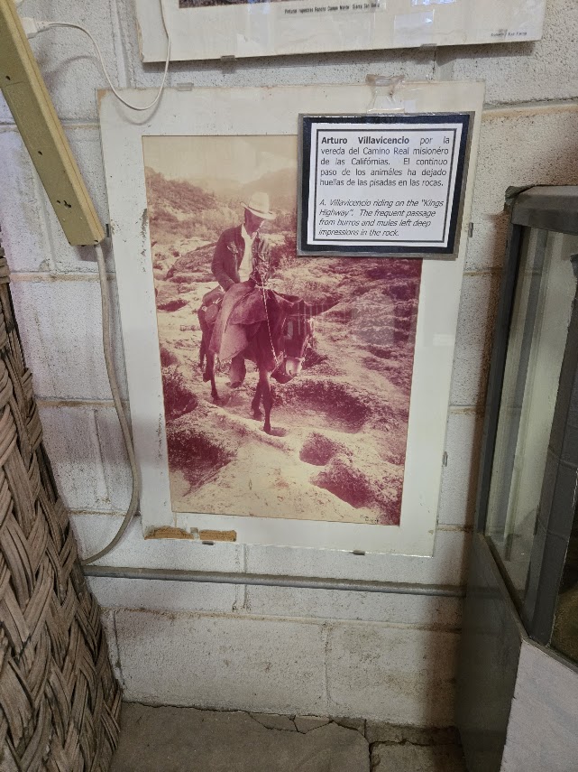
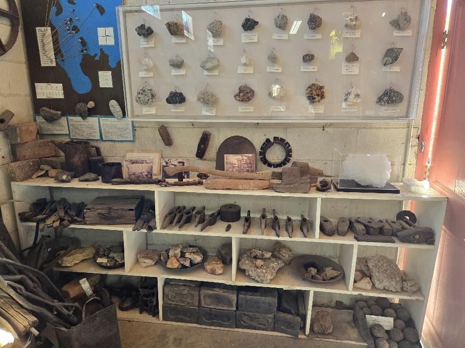
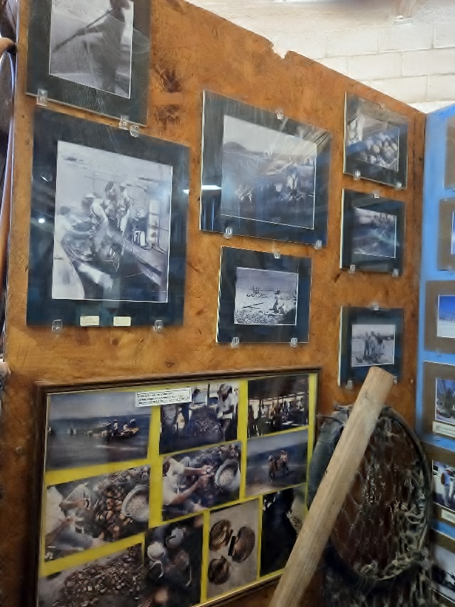
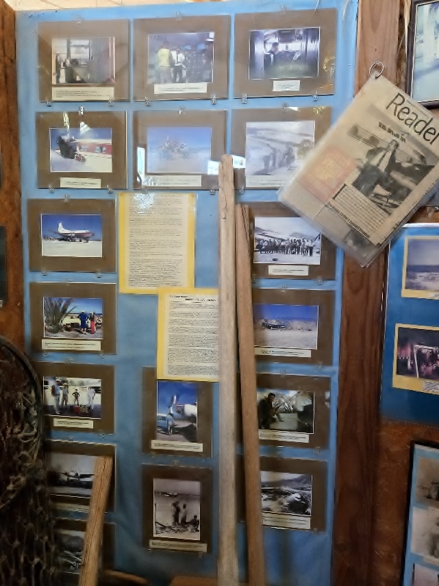
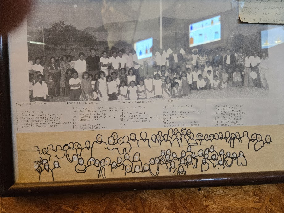
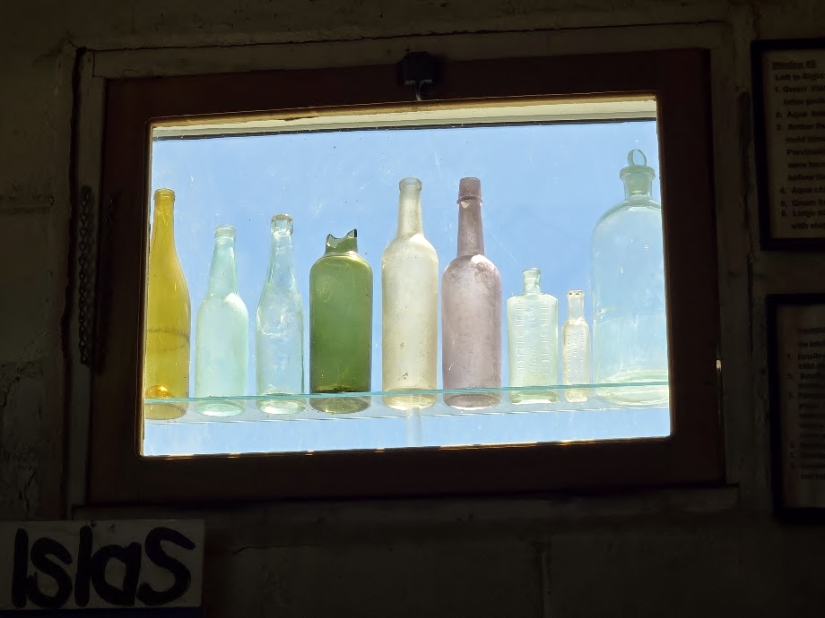
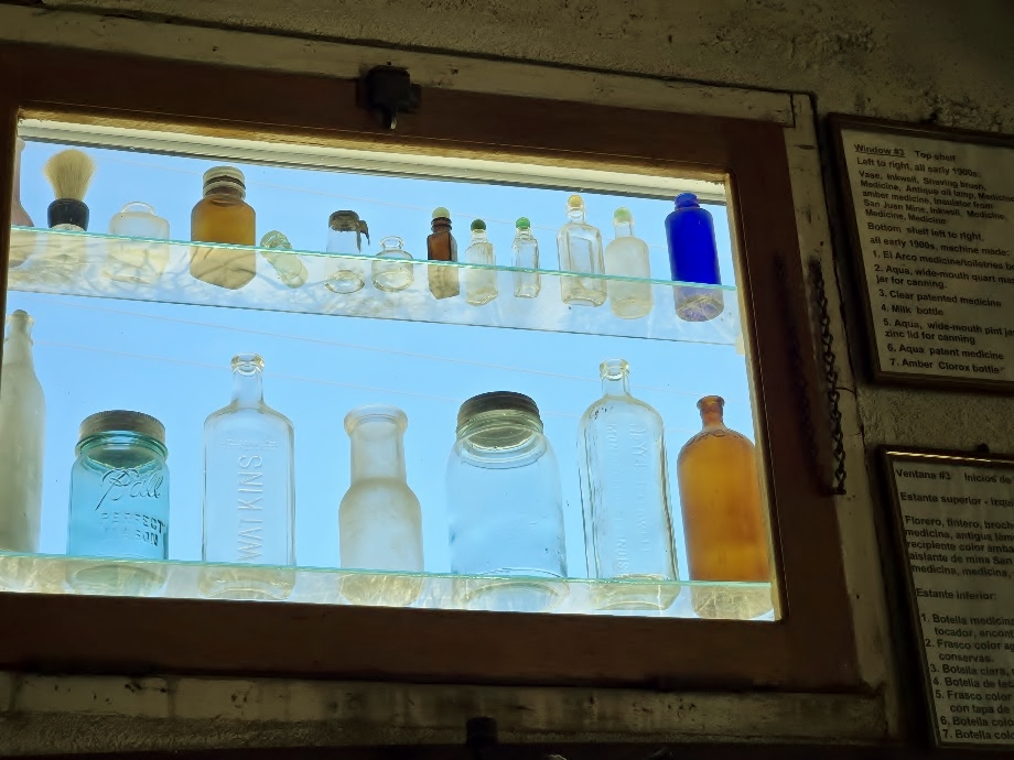
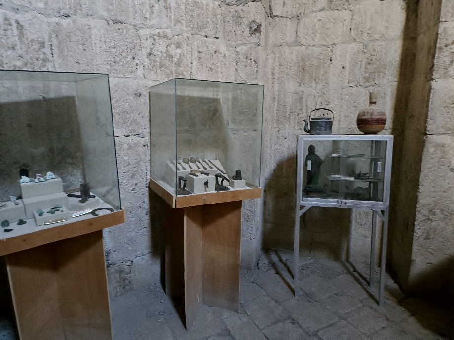
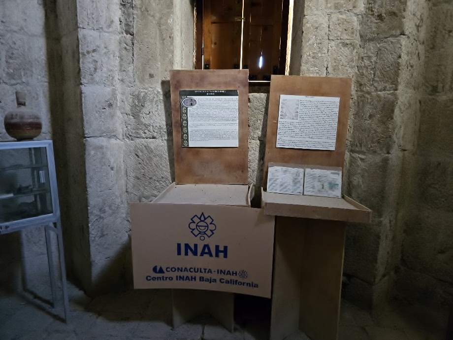
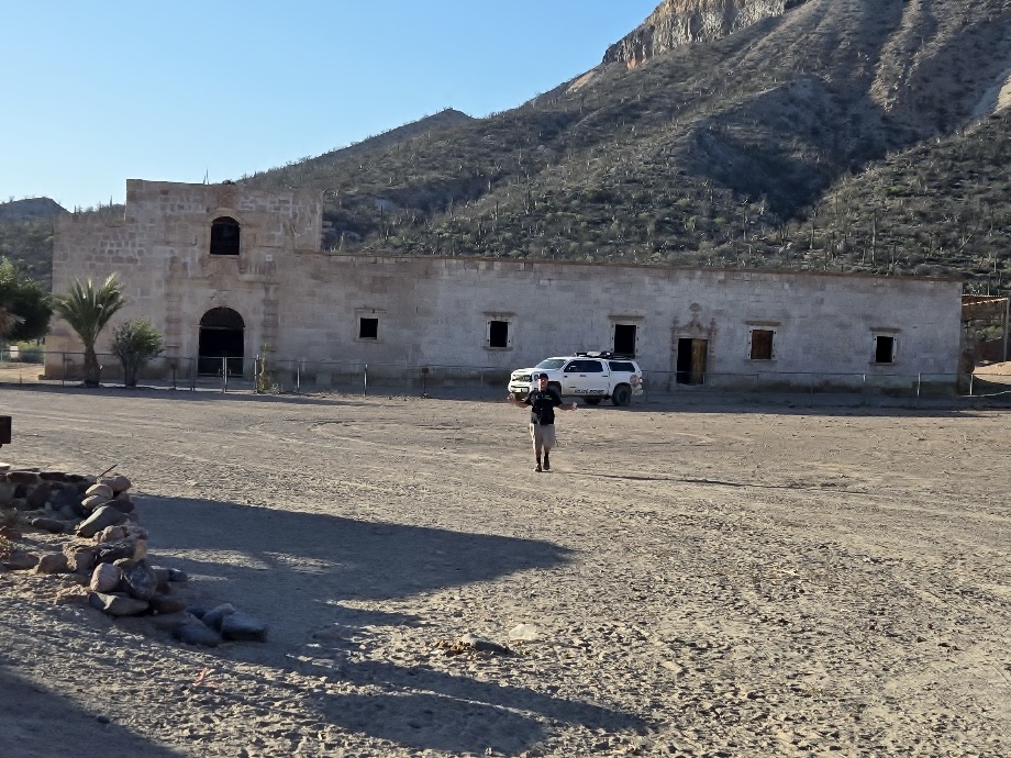
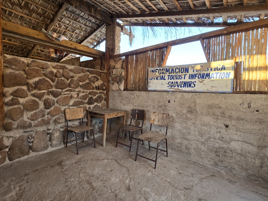
Bahía de los Angeles Museum
Paulina, my friend of more than 25 years, lives now in Baja. She is very involved with the area’s history preservation and provided us with a wonderful tour of this fine museum. Saturday and Sunday middays.
Dave, Paulina, David K, & LeMoineLeMoine and Paulina, a surprise meeting as they are also neighbors on the Pacific side of Baja.
Dave Wilcher chats with Paulina. Dave was so impressed with the museum, he gave a generous donation. The museum is free to enjoy and become more educated on the region.
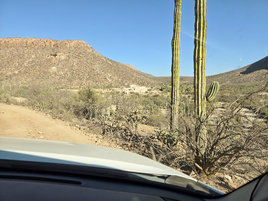
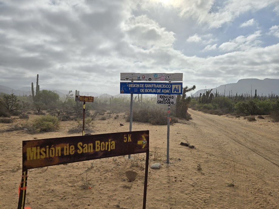
South to Mission San Borja
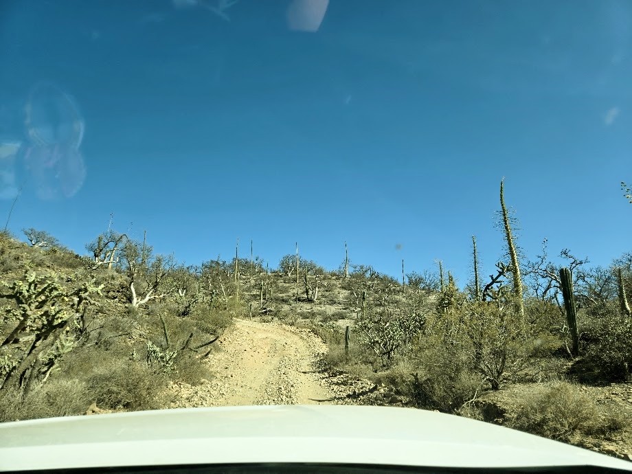
Mission GPS: 28°44.66′, -113°45.27′. The road junction was at Km. 45 but following hurricane damage, a signed detour now leaves the L.A. Bay highway at Km. 43. It is 22 miles south to the mission. We were able to take the original road exit, joining the newer detour route in a mile.
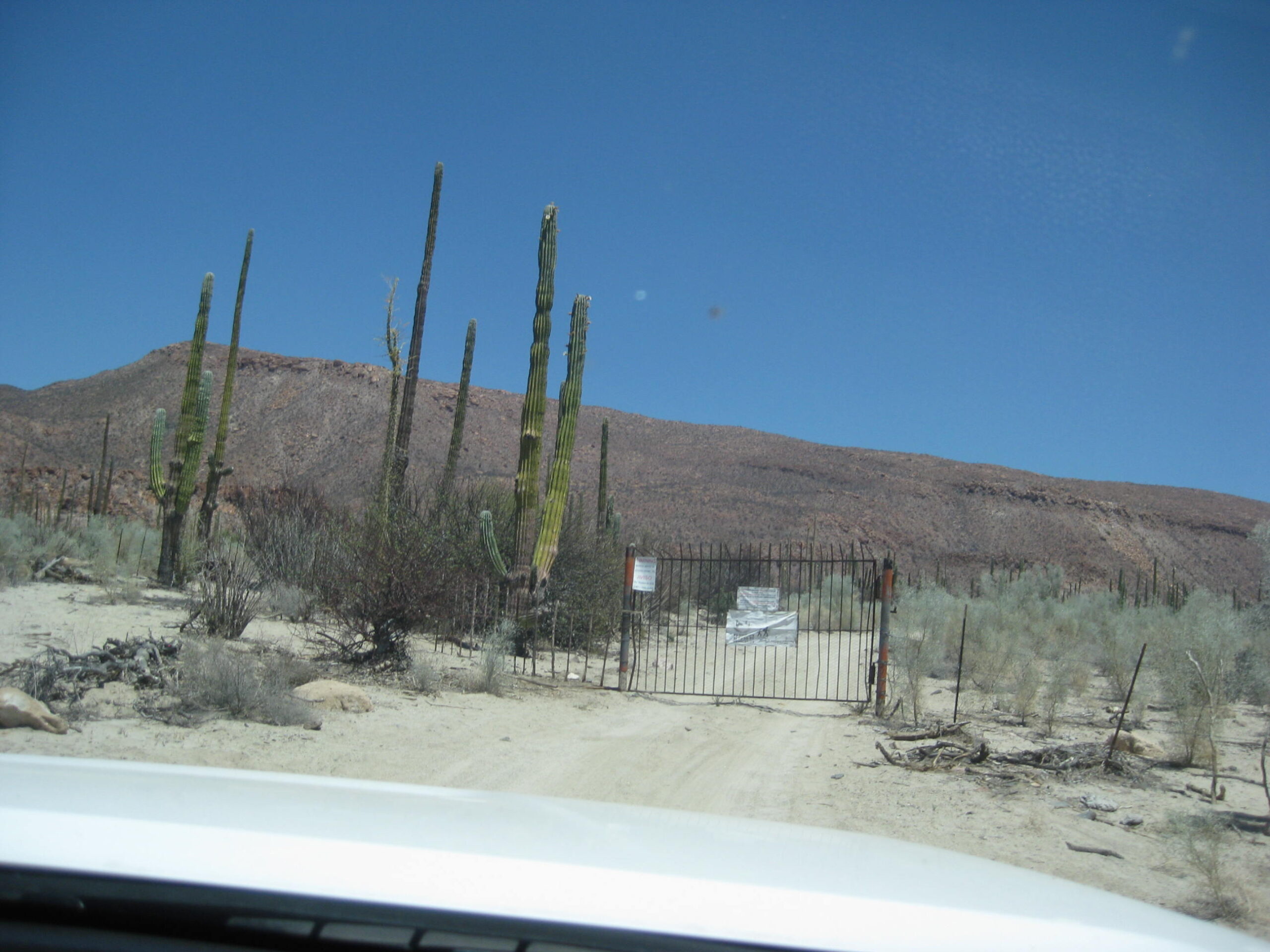
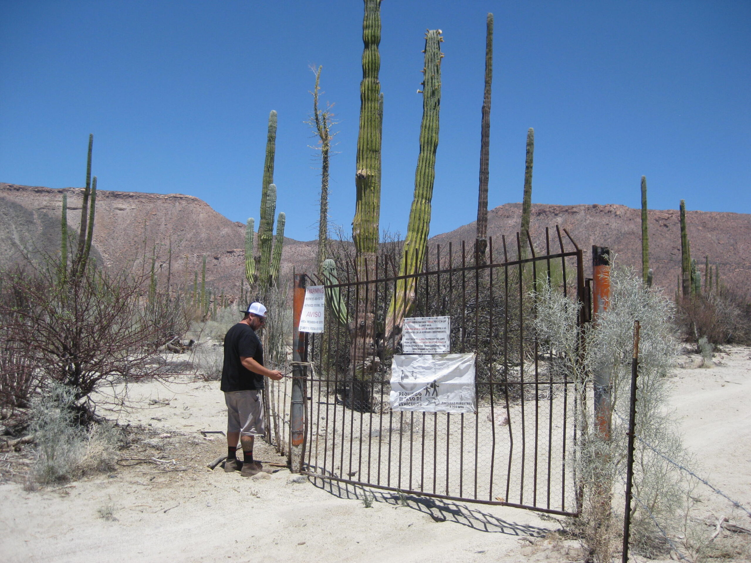
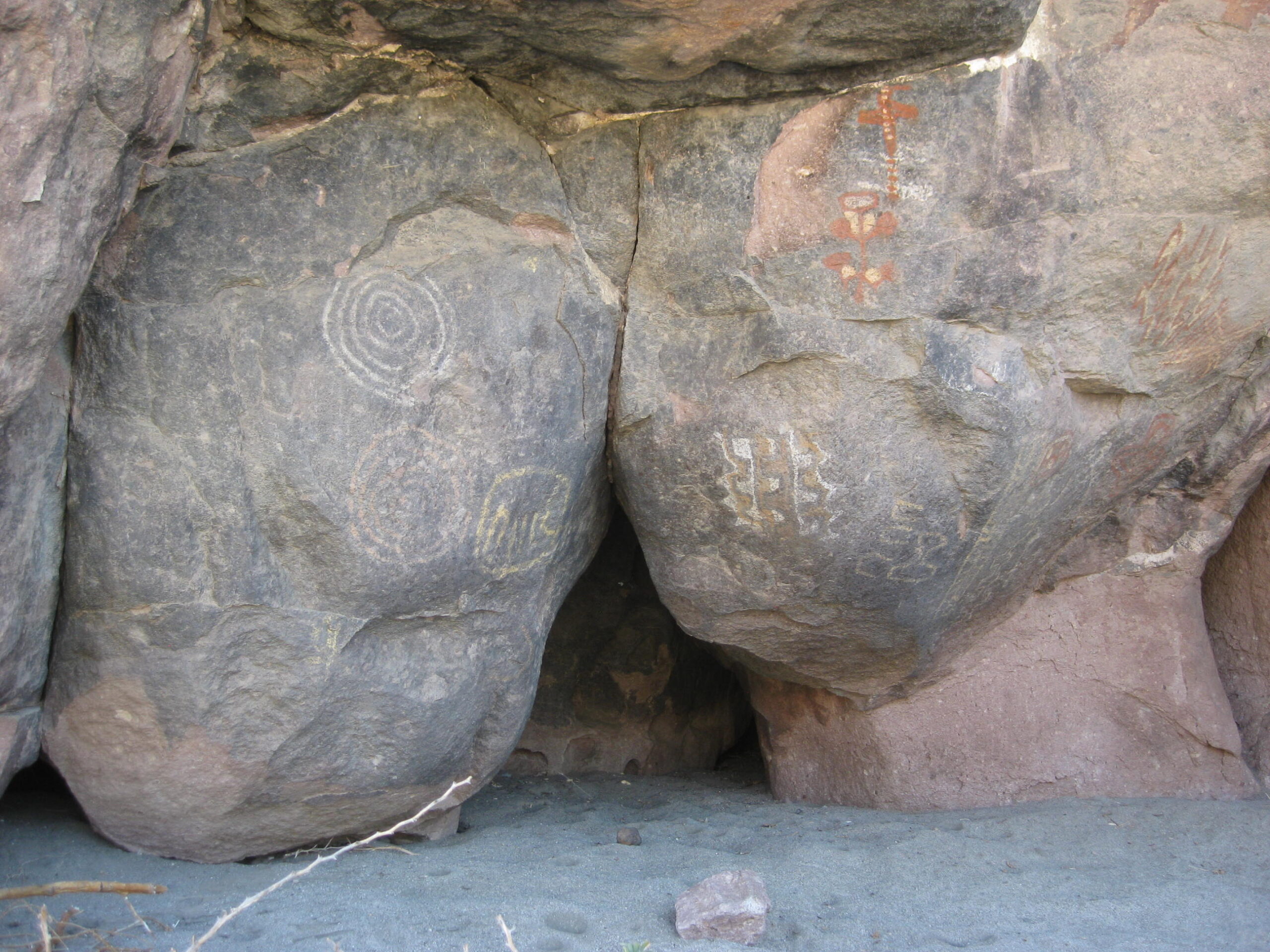
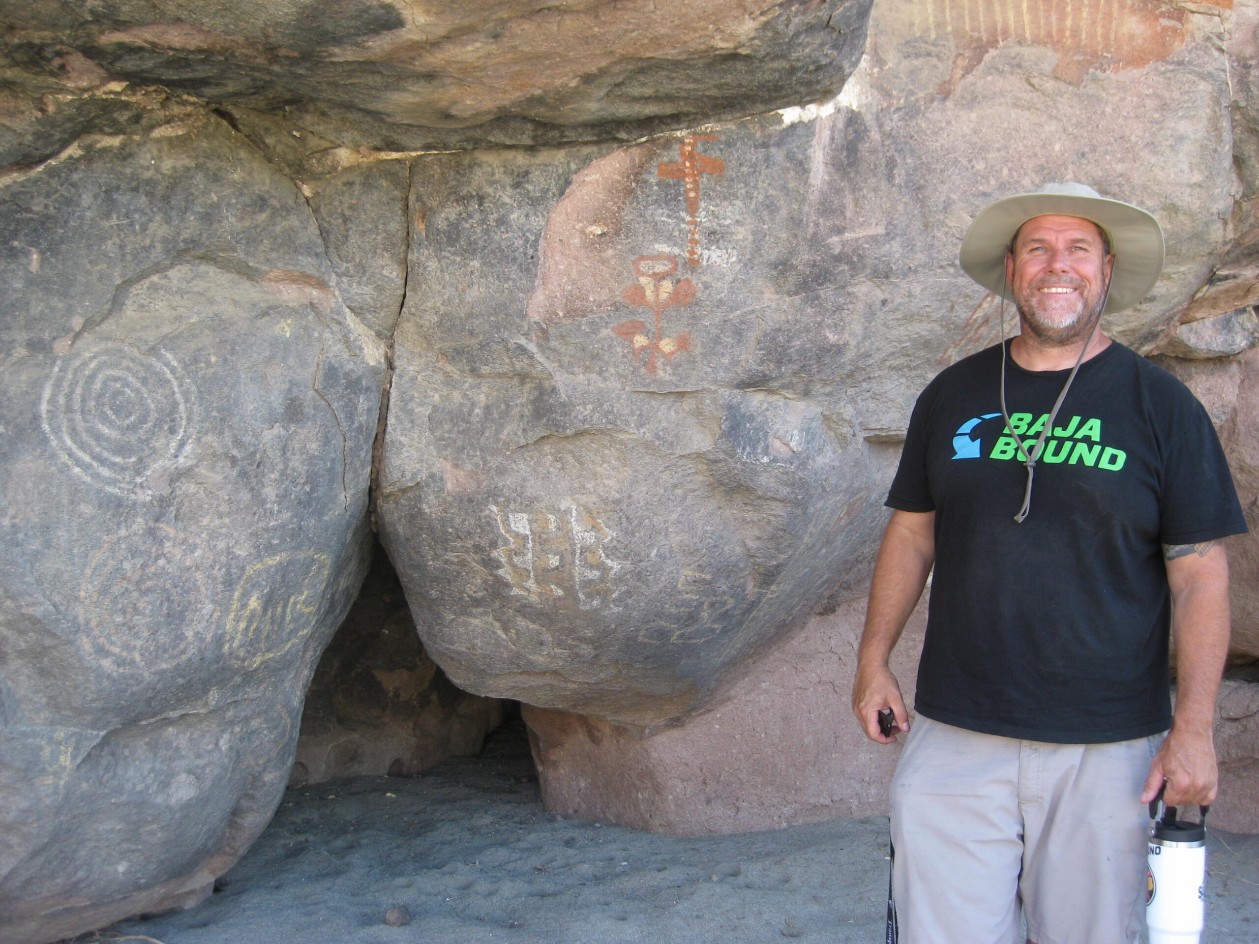
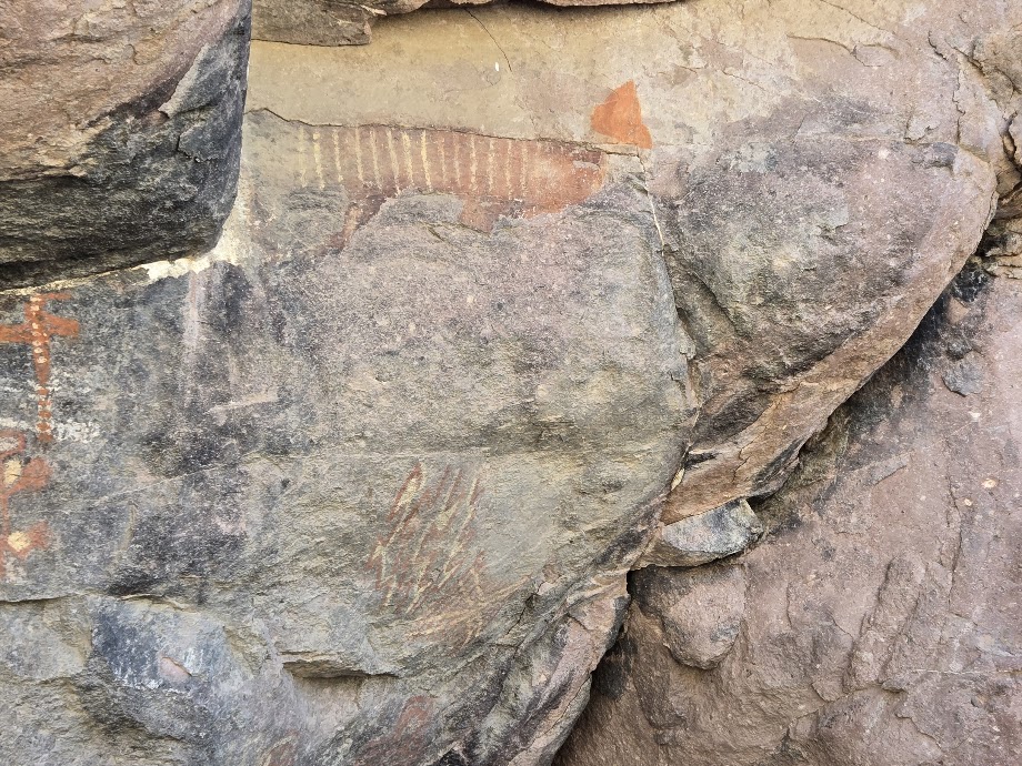
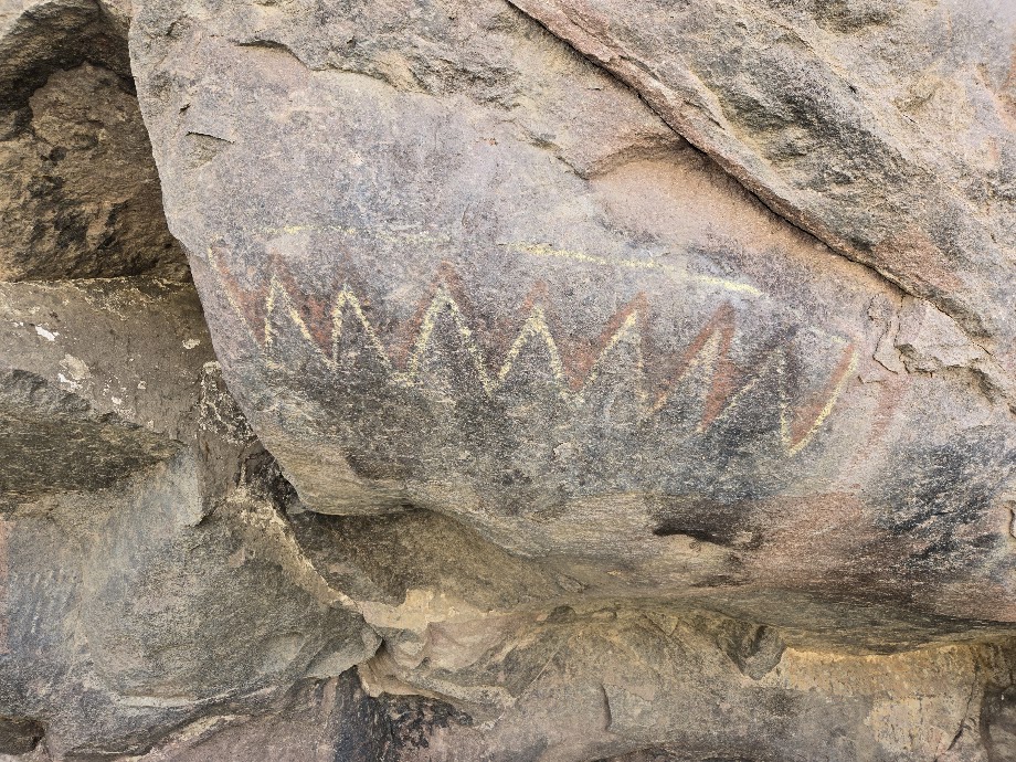
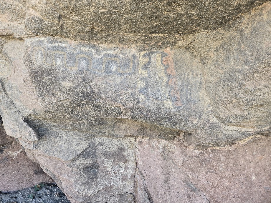
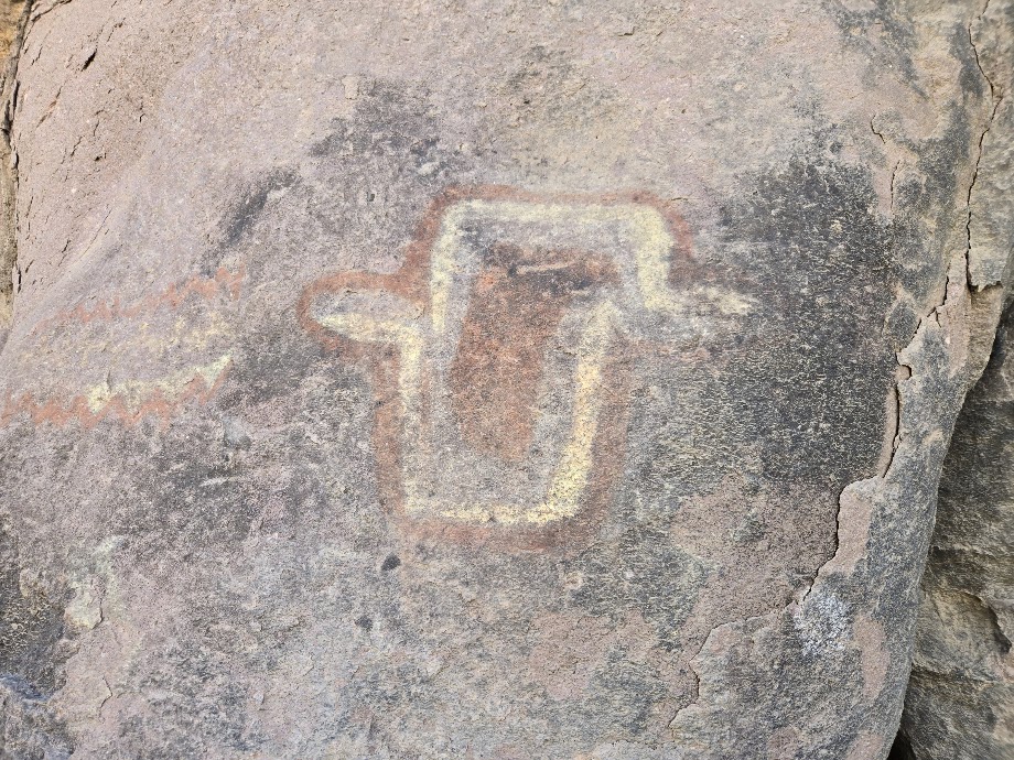
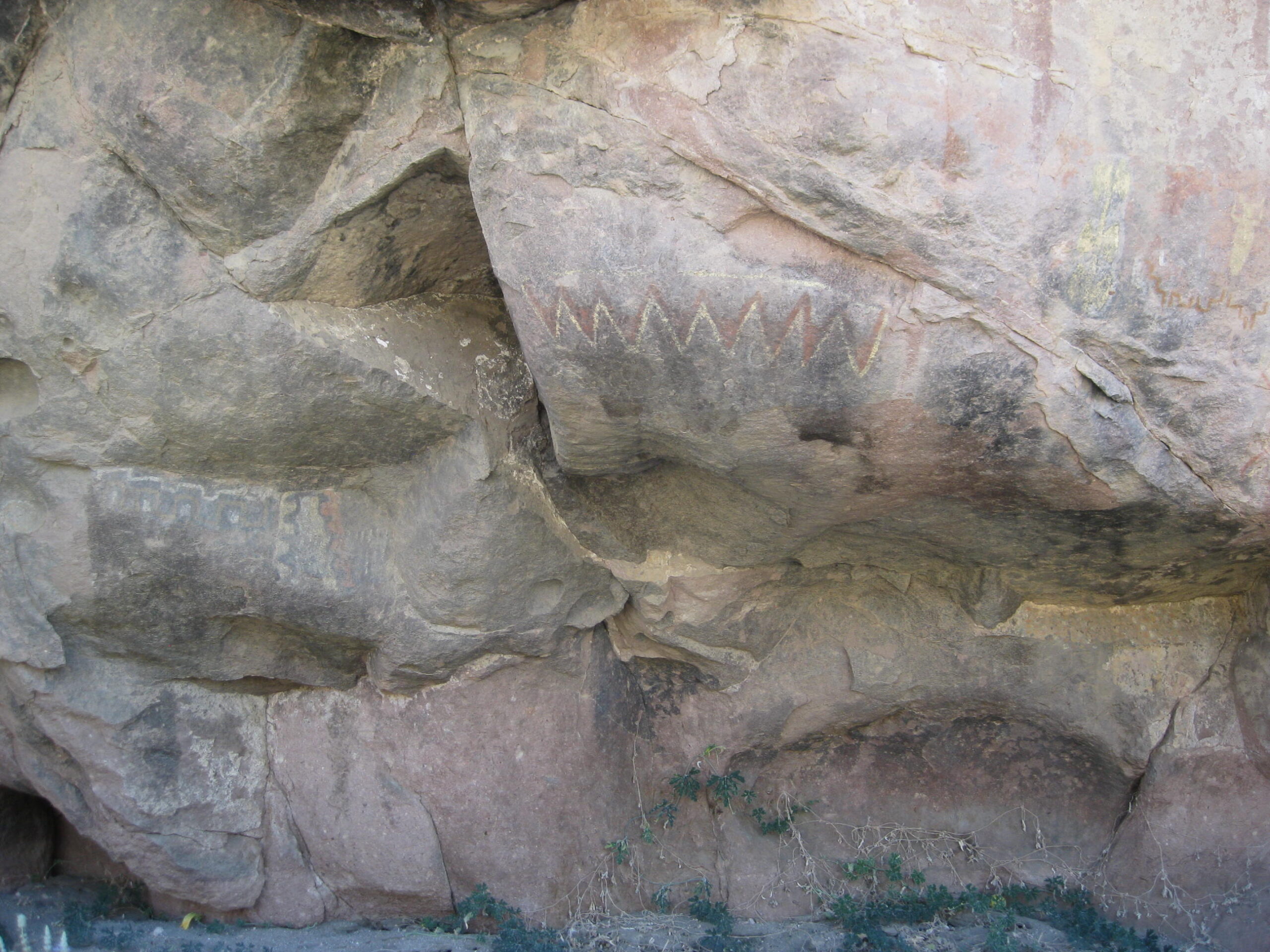
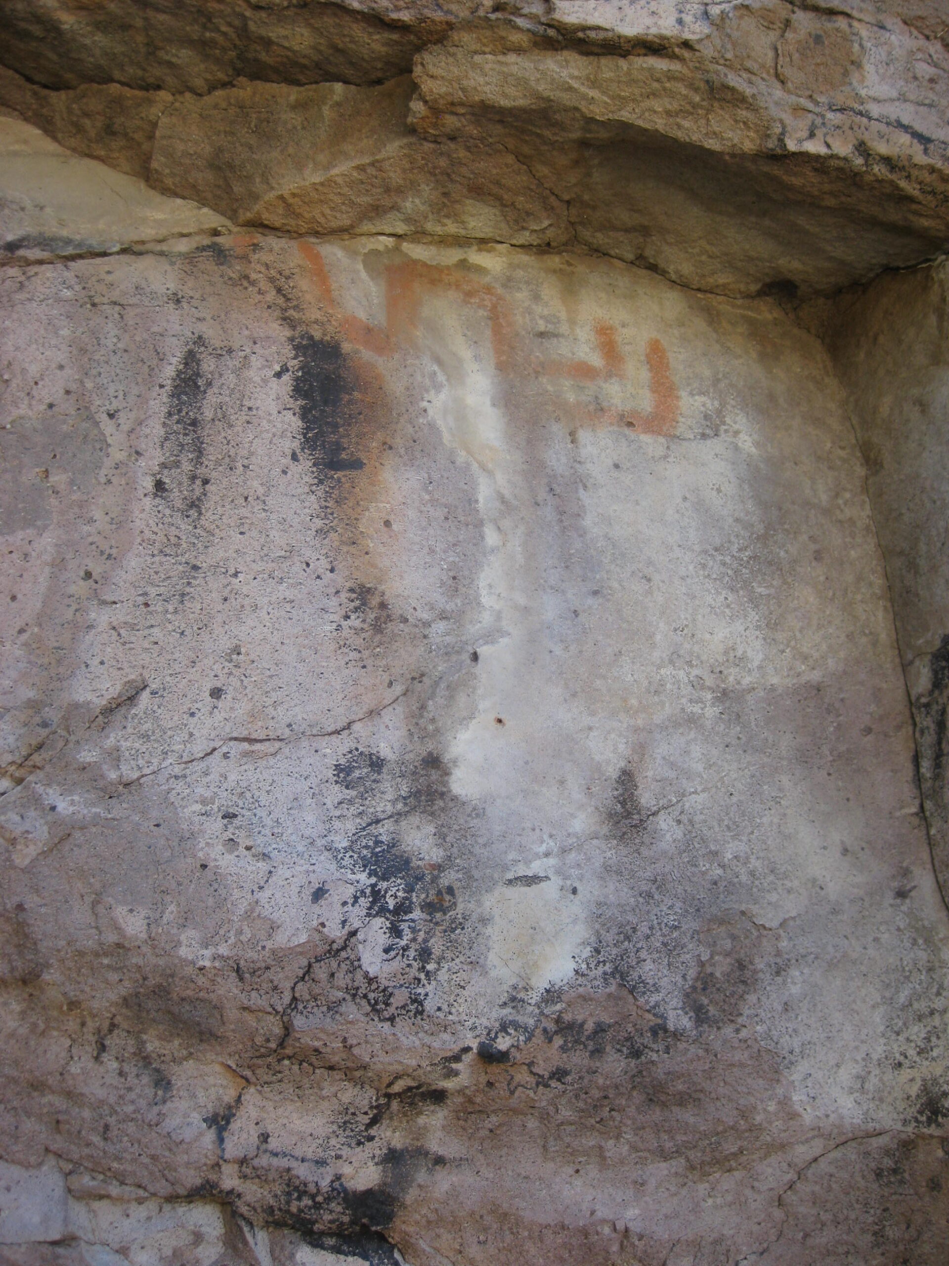
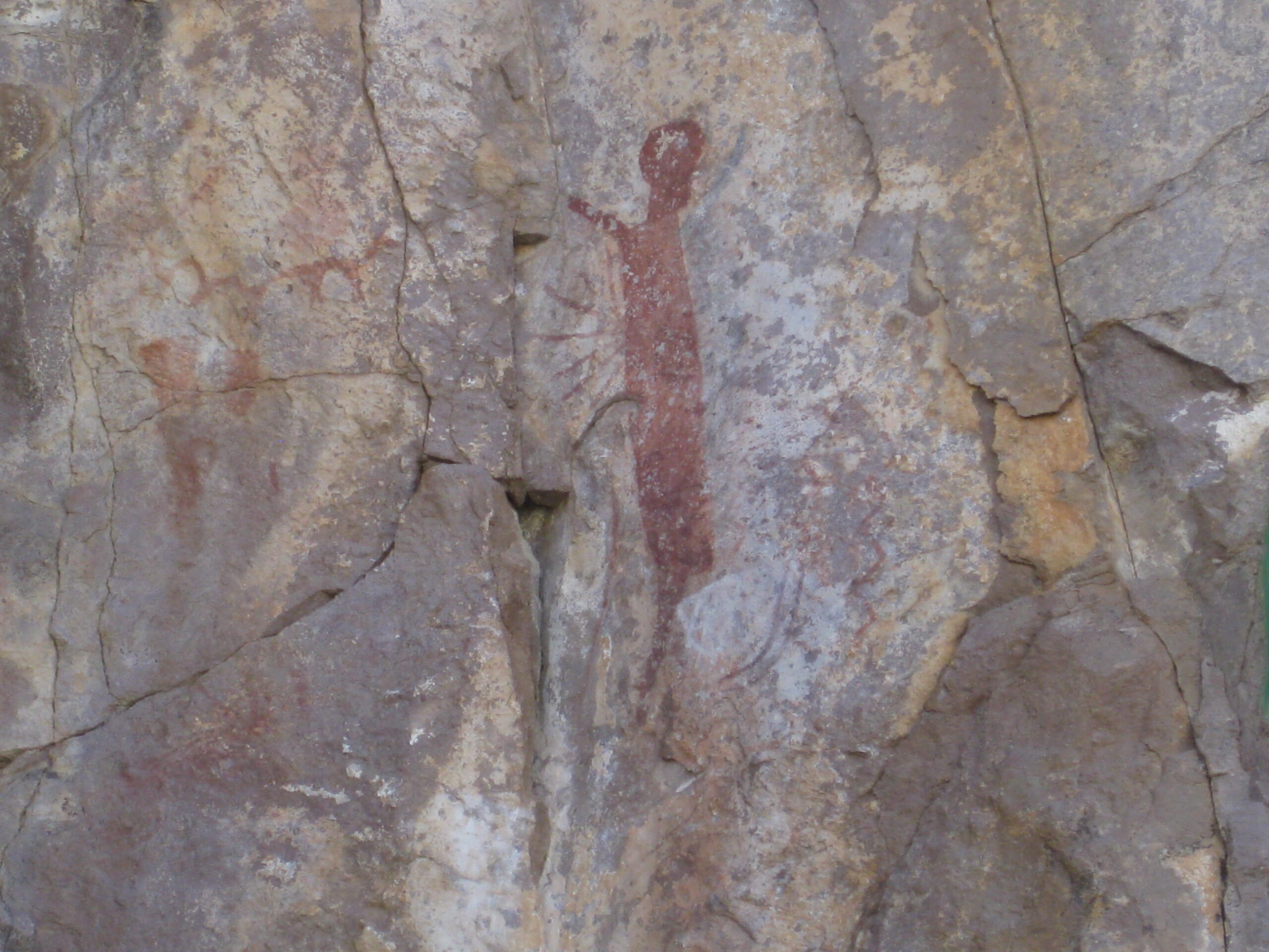
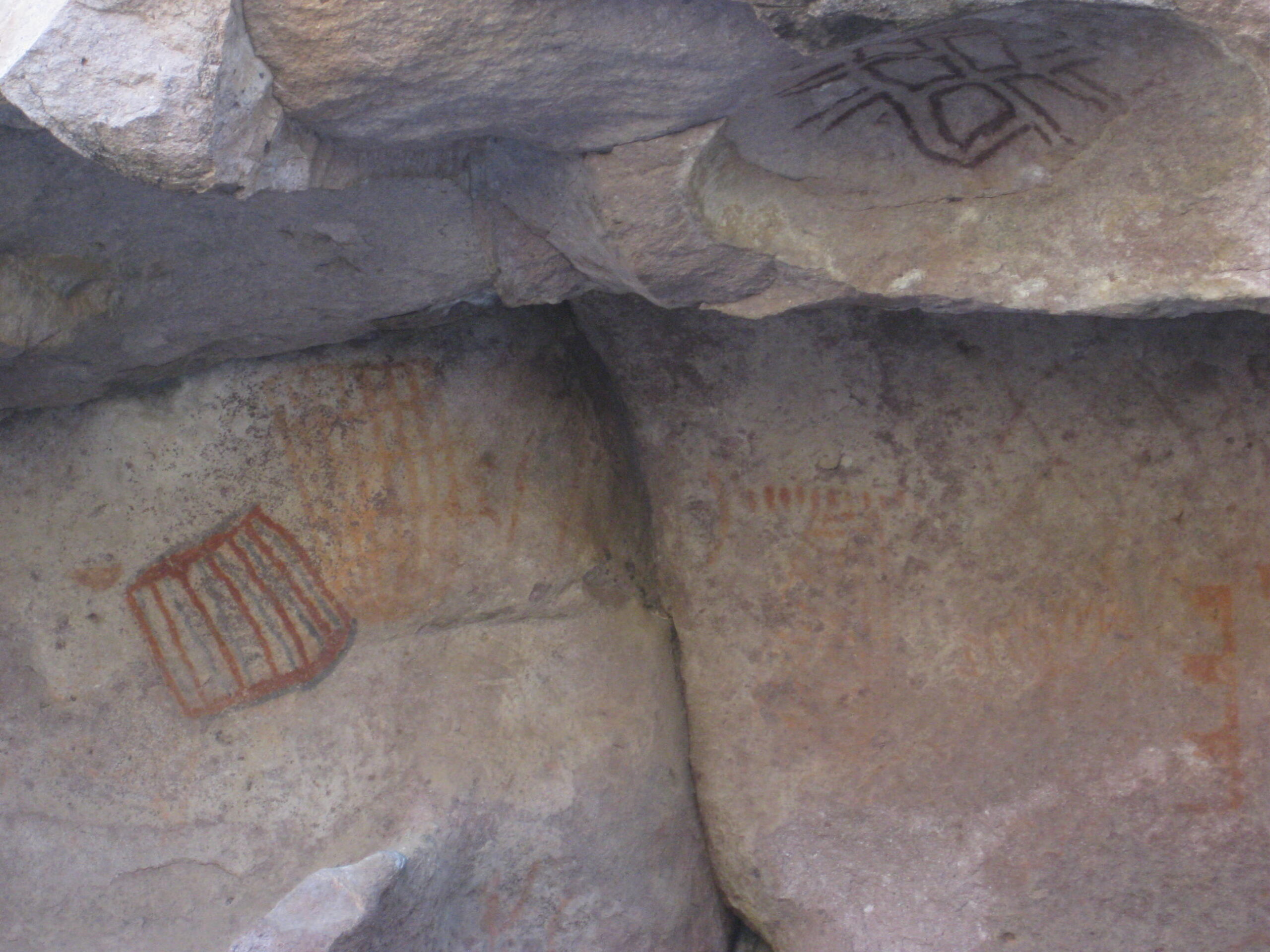
Side trip to Montevideo
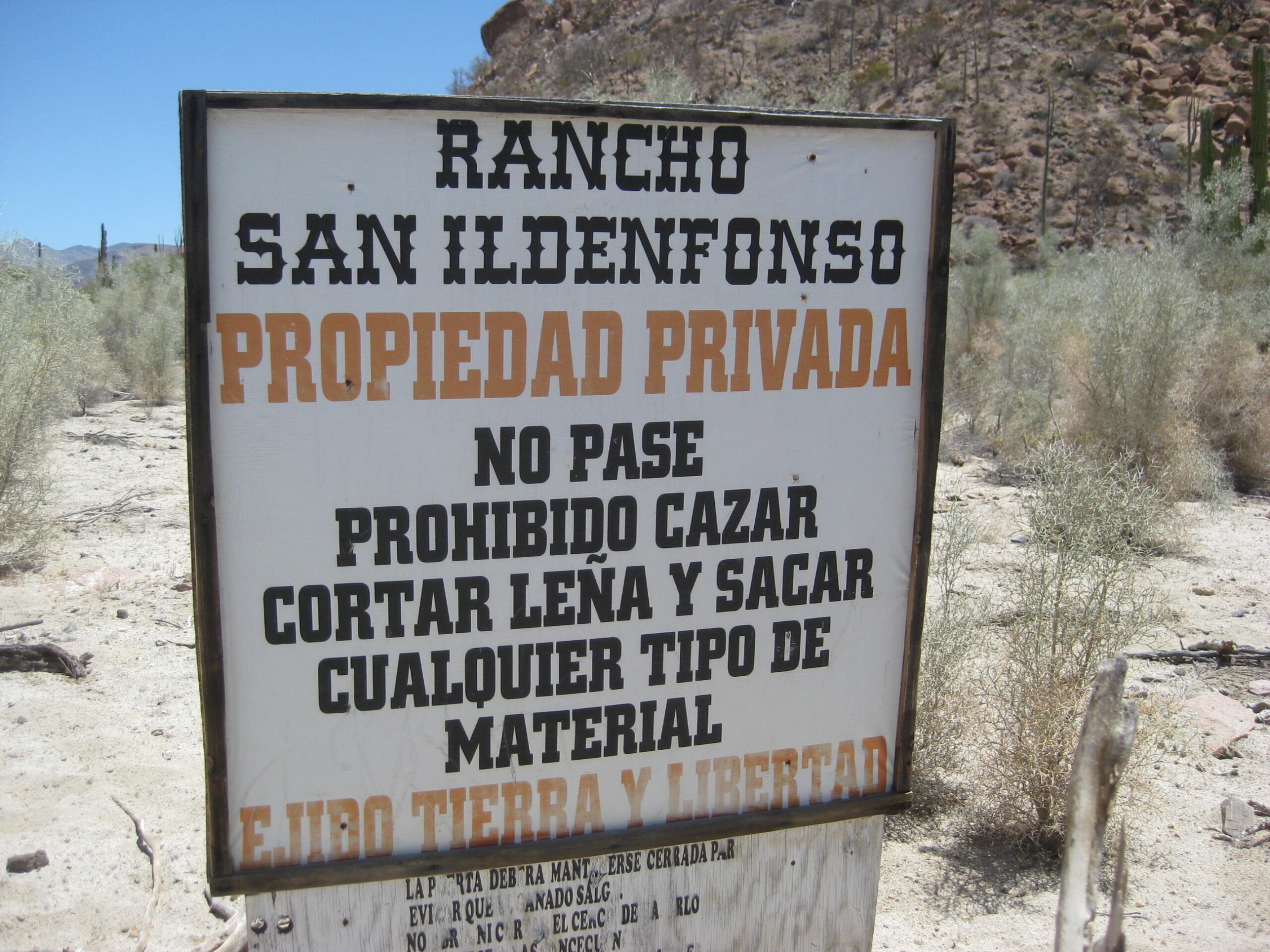
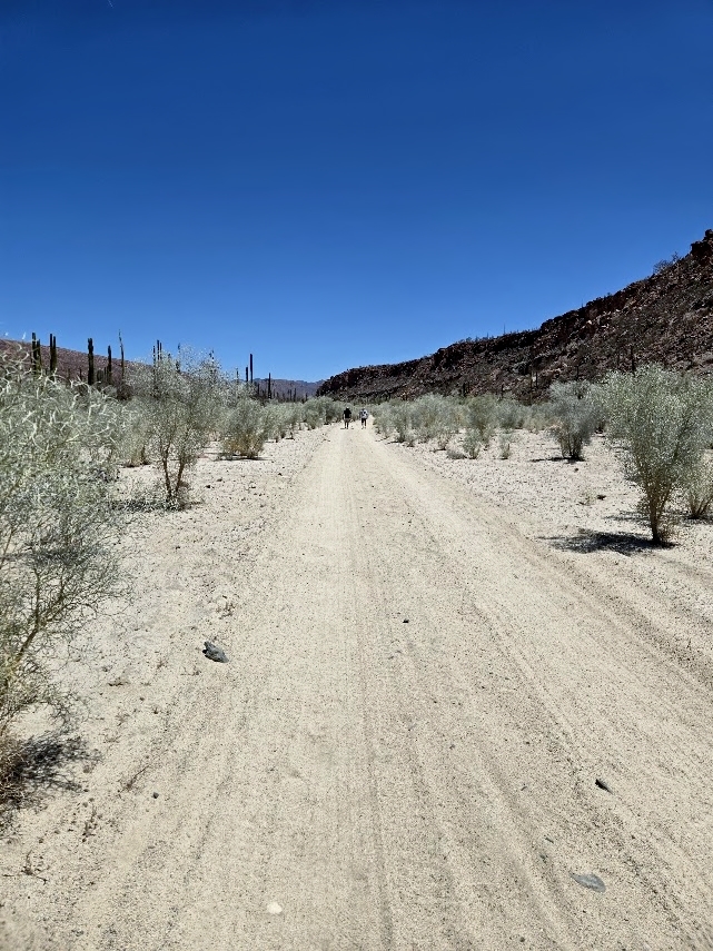
GPS: 28°54.75′, -113°43.27′ Off the road to San Borja, two miles south of the highway, is a road to Montevideo, 5.8 miles. Sadly, a locked gate was placed across the road in 2018 by a cattle rancher (to prevent cattle thieves, they said). We came to the gate much much closer to the painted cliff than I had heard. It was only a 1/2-mile to hike, once we got under the barb wire.
While a bit intimidating, we already knew visiting the rock art was allowed and since Daggett’s hadn’t the loaner key, to drive all the way, we were invited to walk to the site.
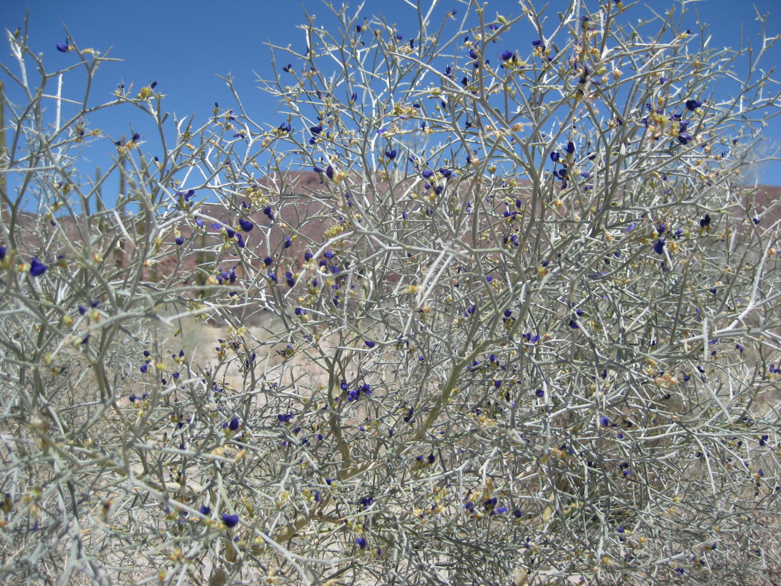
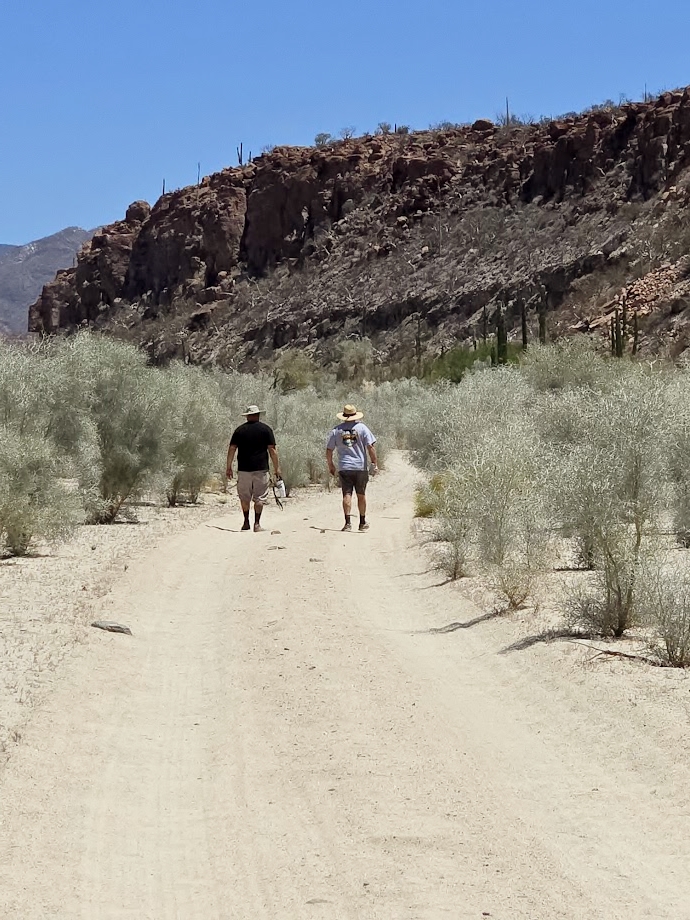
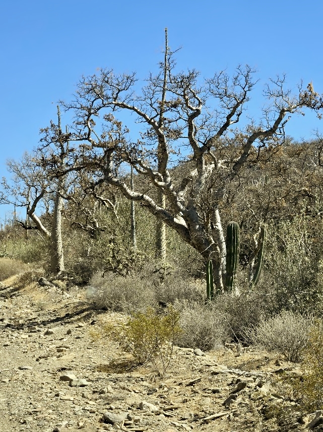
Little smoke trees lined the road.The smoke trees were blooming.Dave and LeMoine got a head start. It was their first time here.
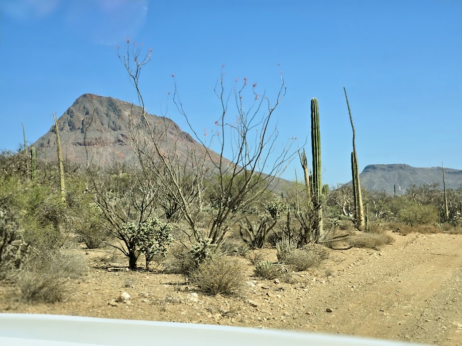
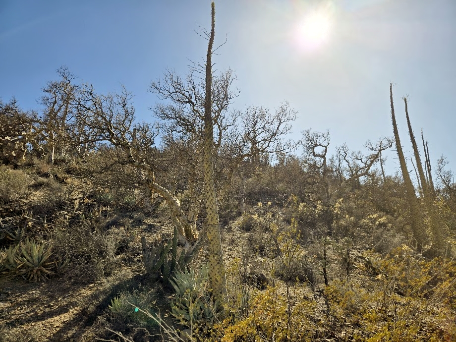
Elephant TreeA volcano, along the way to the mission.
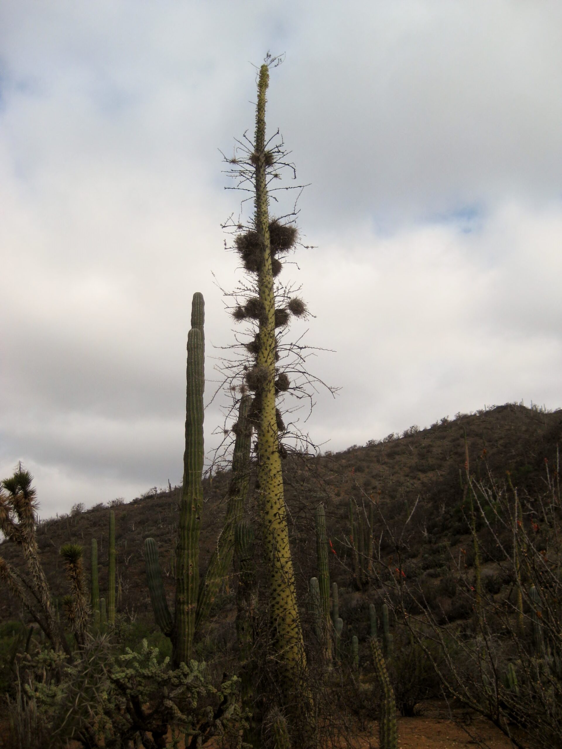
Bird’s nest on top of this boojum tree.
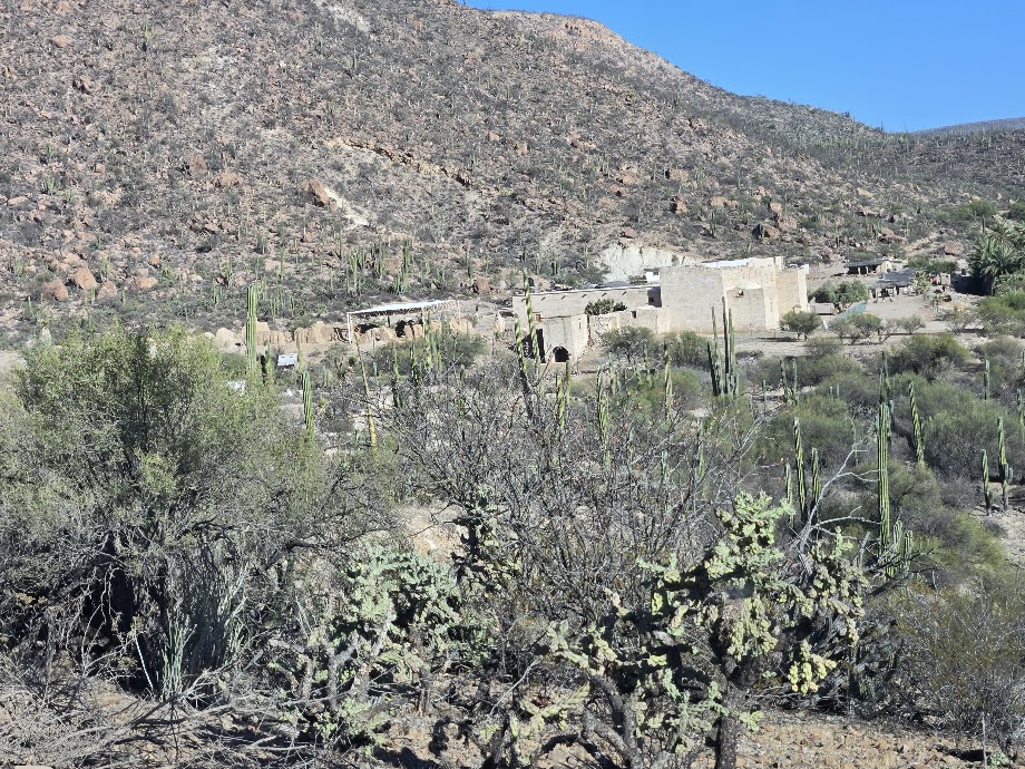
The new route climbs along this hill before reaching the mission. Previously, it was in the arroyo, below.
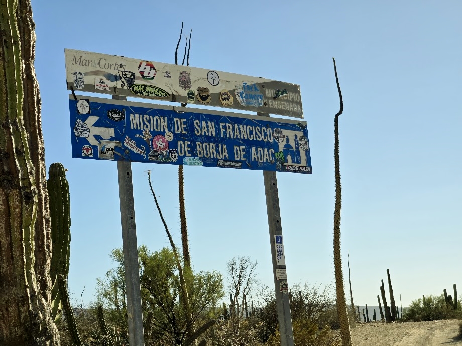
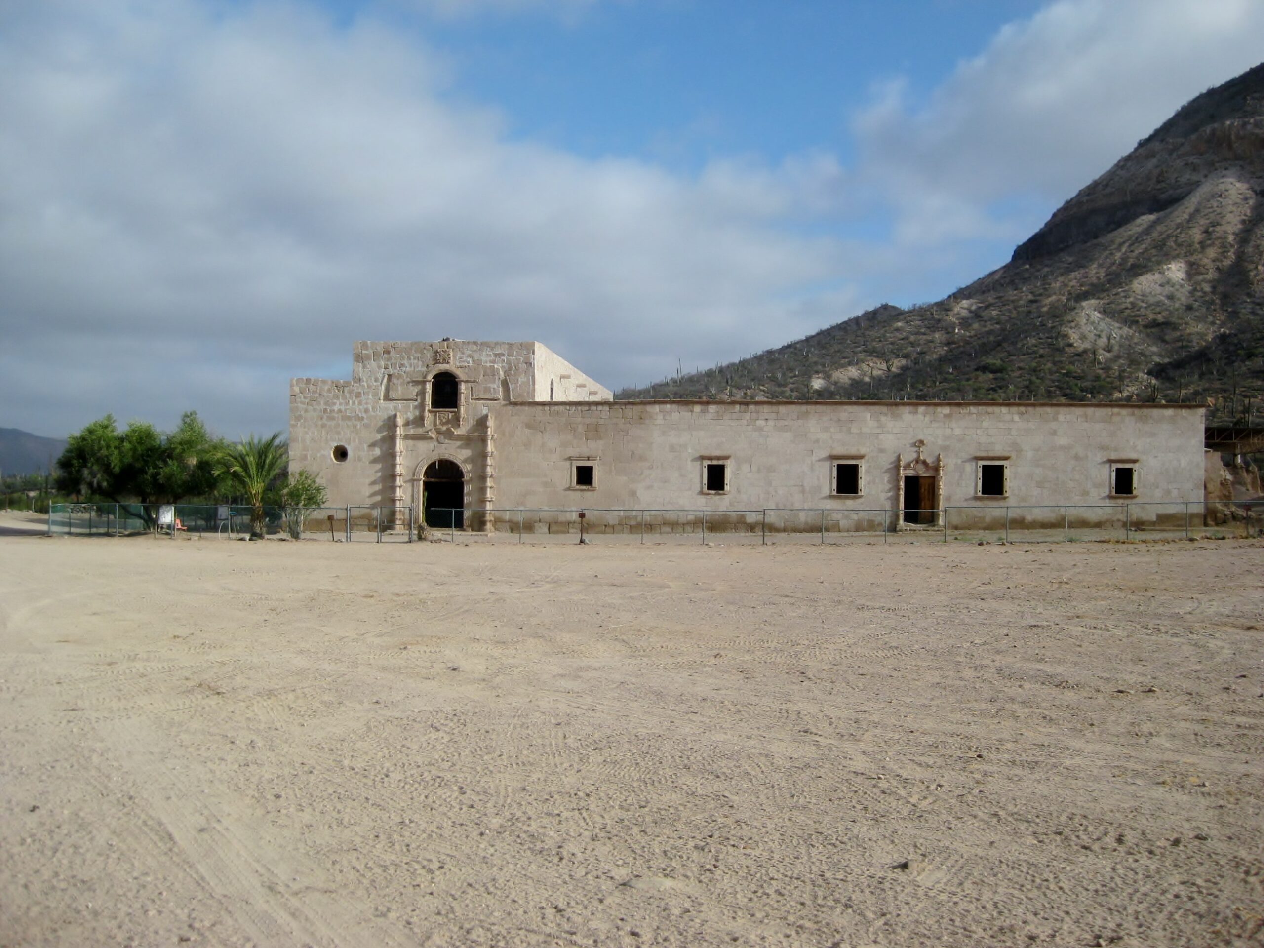
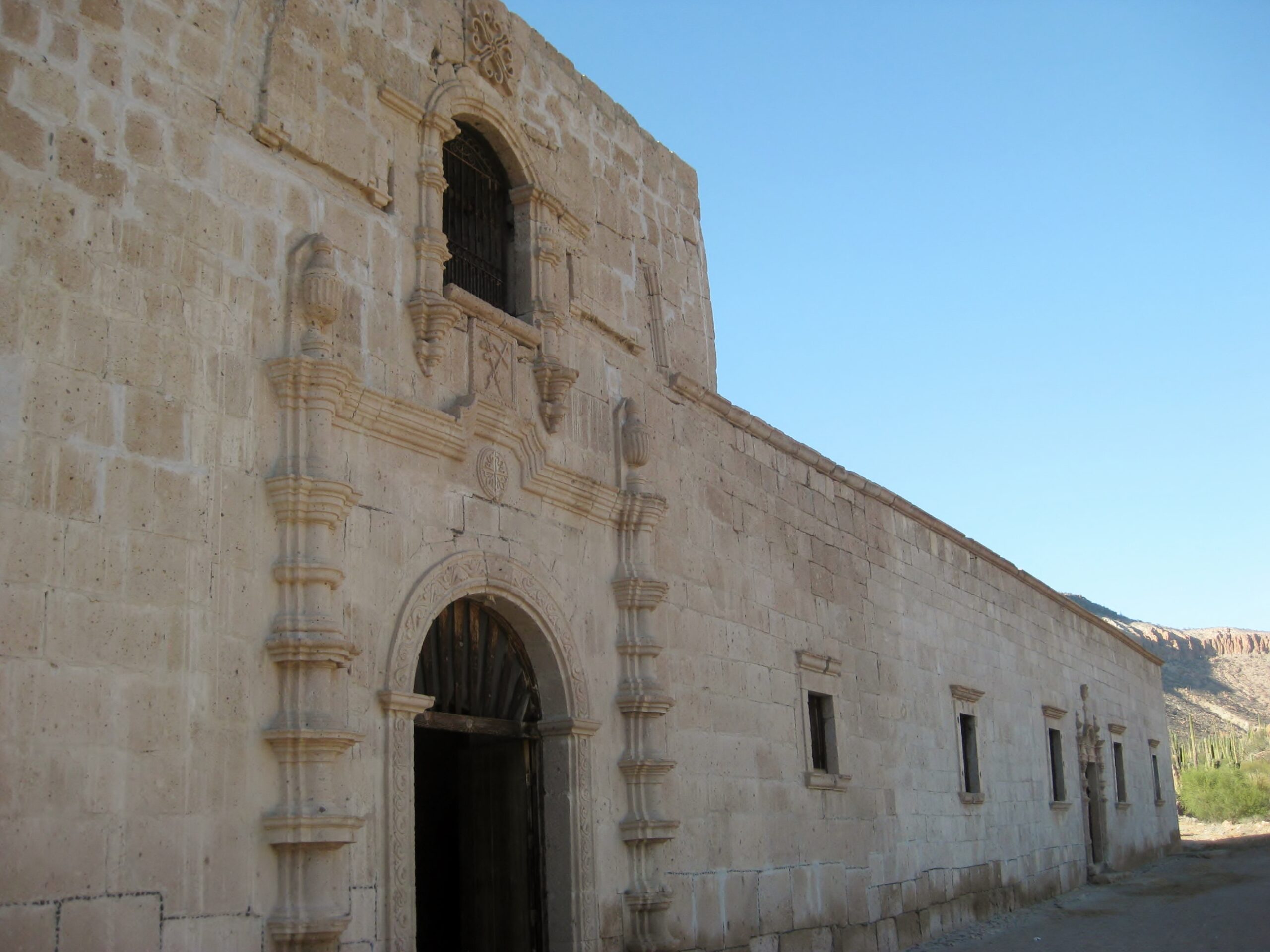
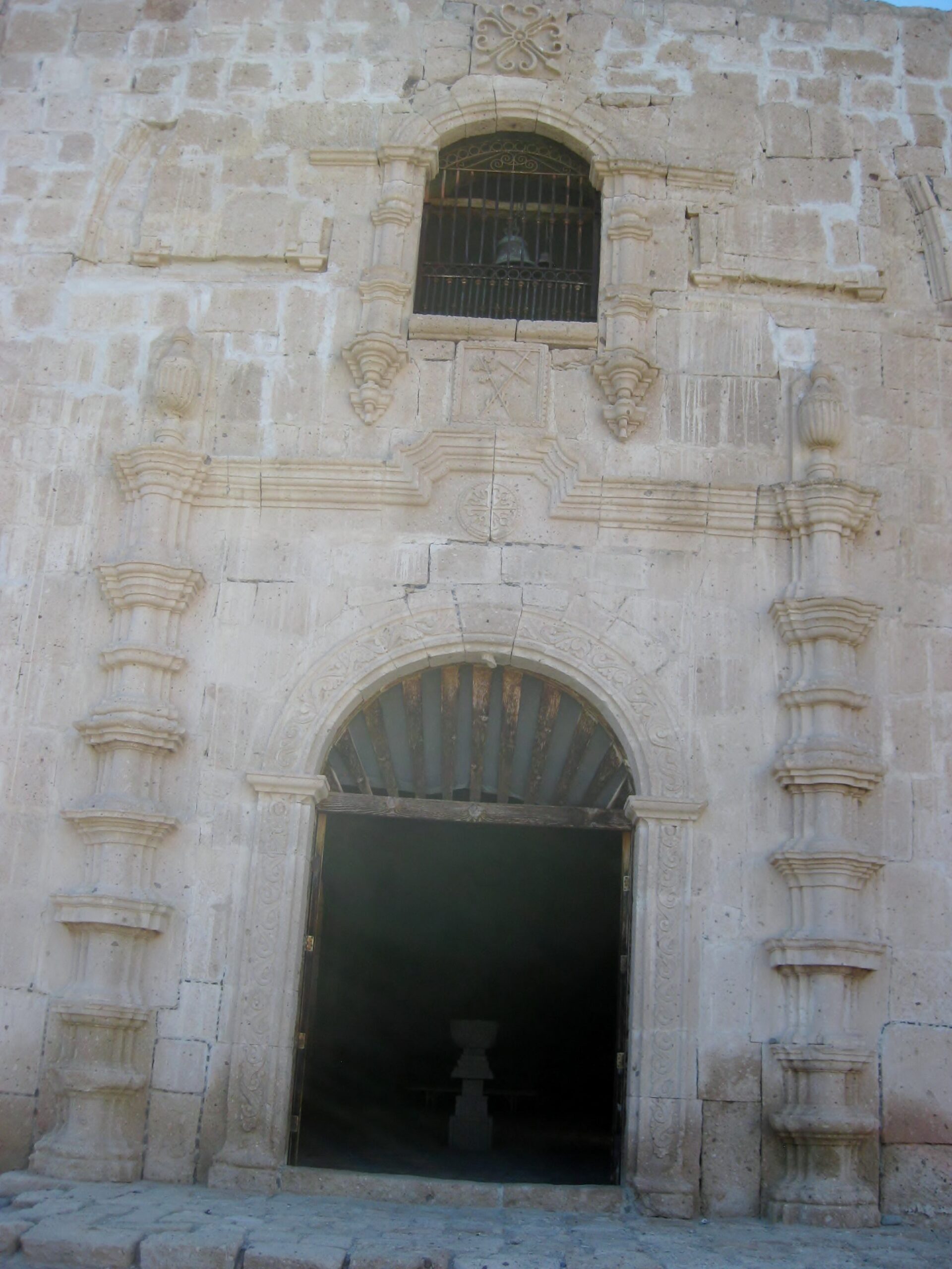
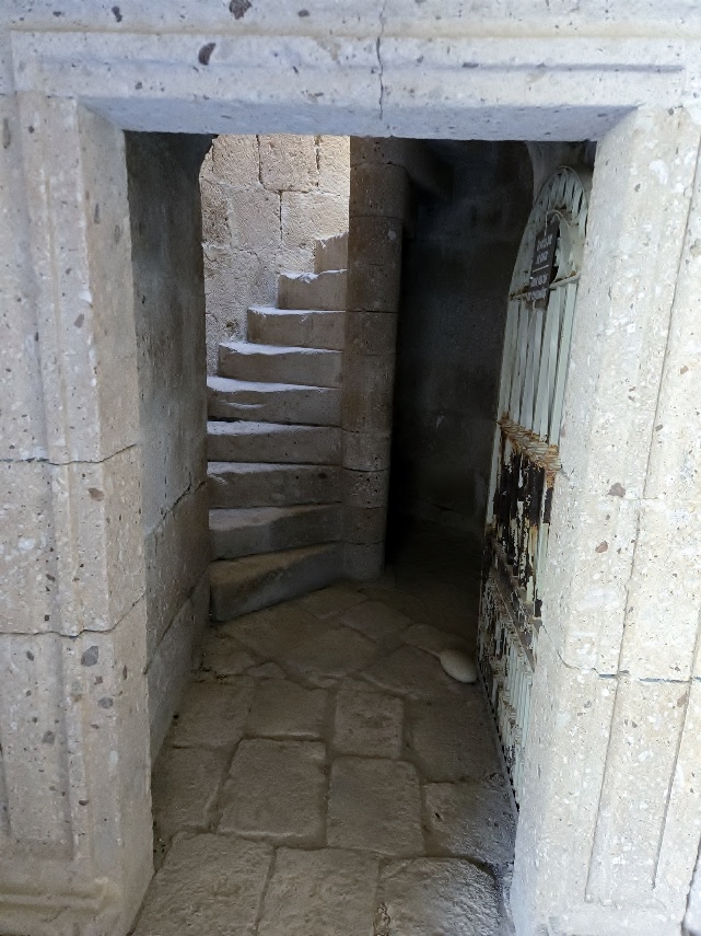
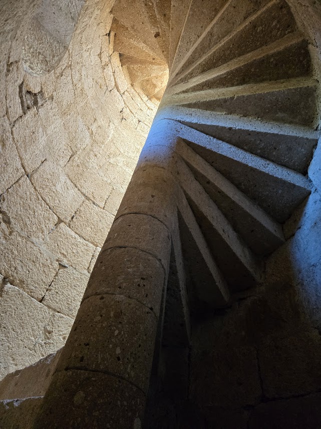
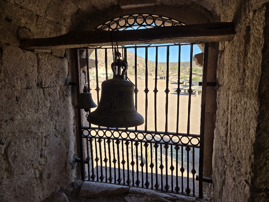
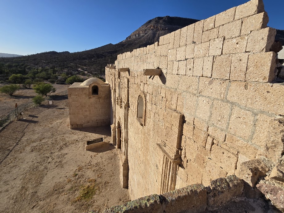
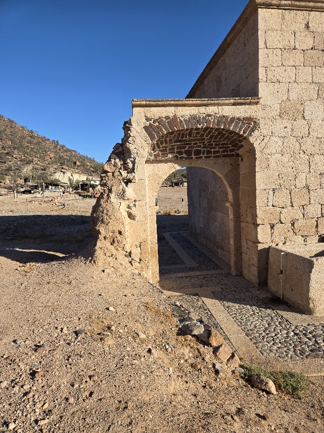
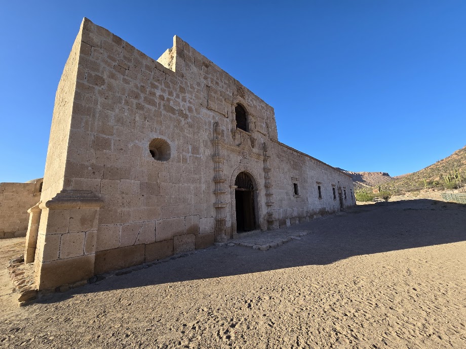
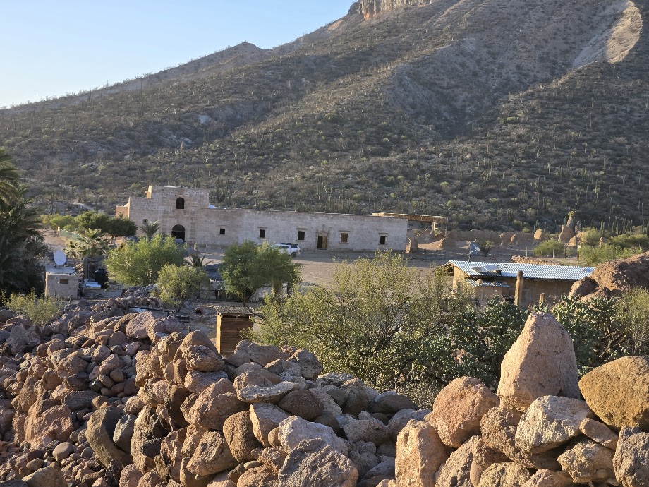
San Francisco de Borja Adac, founded on September 1, 1762 by Jesuit Padre Wenceslao Linck. The stone church was constructed by the Dominicans, to 1801.
View of the partially protected adobe church ruins from the Franciscan (1768-1773) and Jesuit (1759-1767) periods. The steel awning was added in winter 2000/2001. Building at San Borja began in 1759 when this was a visita of Mission Santa Gertrudis. San Borja was elevated to a mission in 1762.A graveyard is just north of the mission’s millroom.The new route in from Bahía de los Angeles.
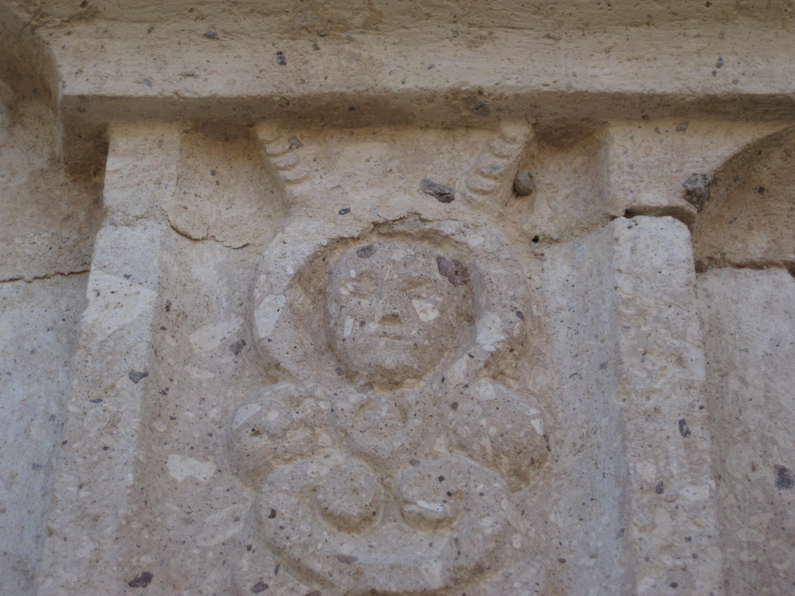
Padre in a space suit? Alien? Carving is on the left side of the doorway.
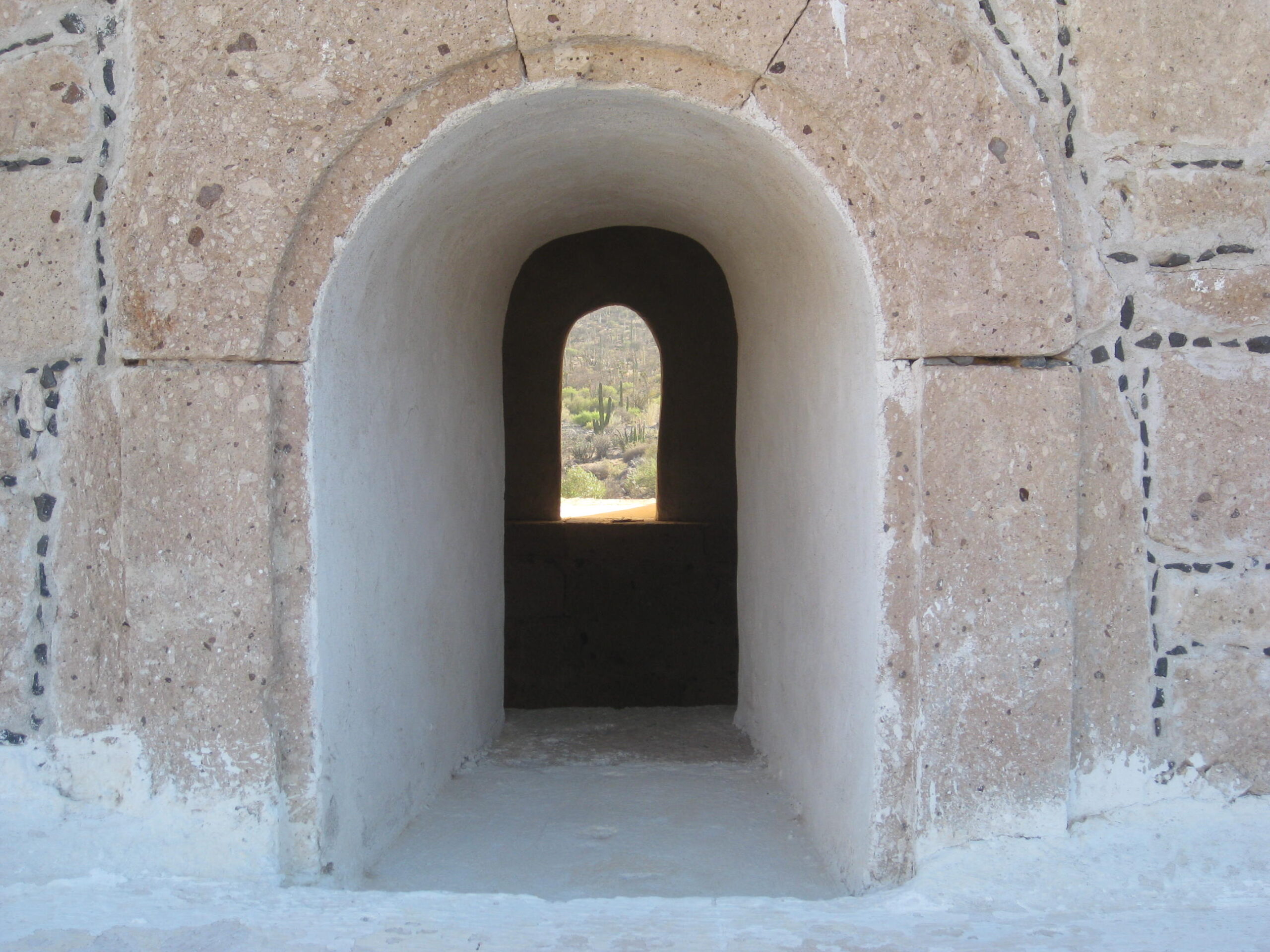
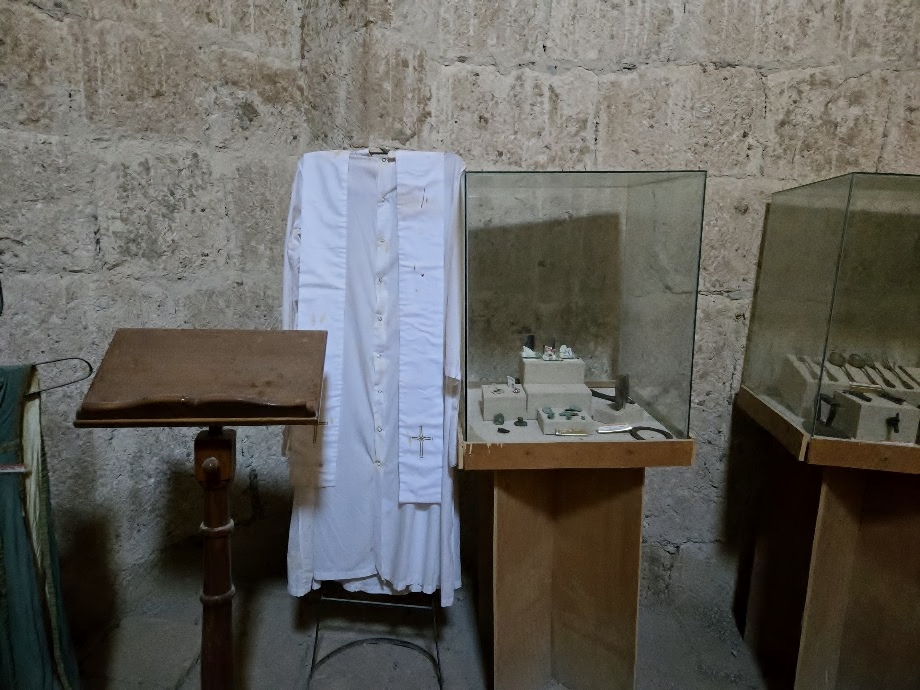
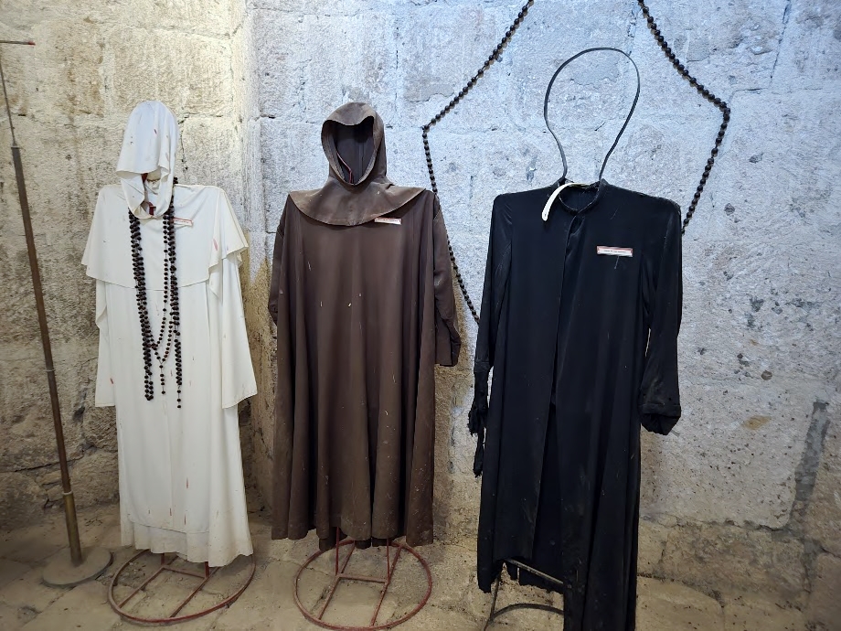
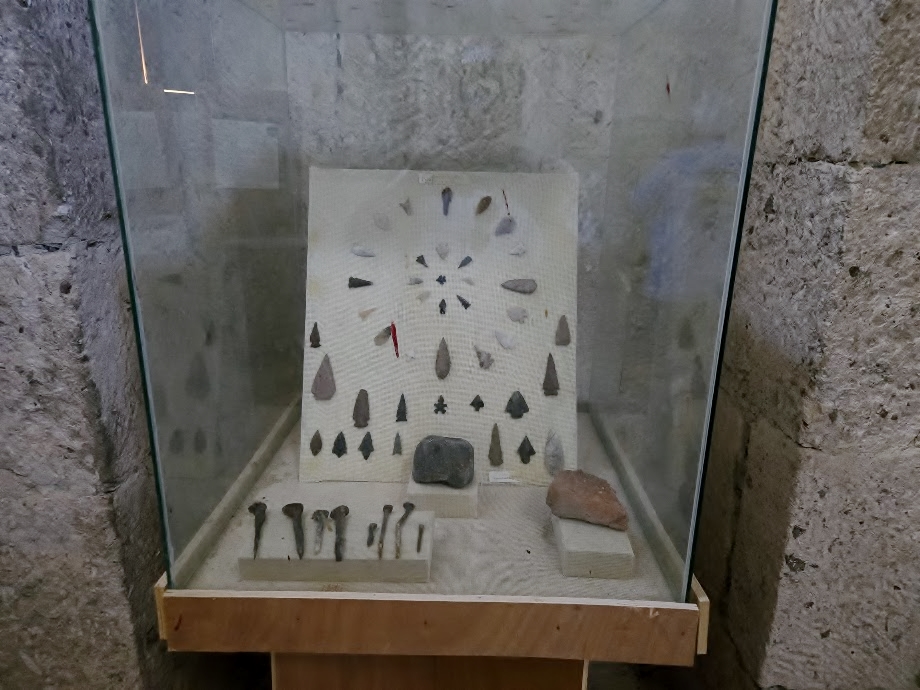
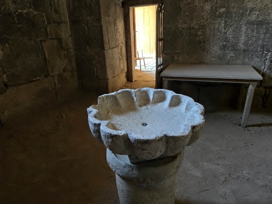
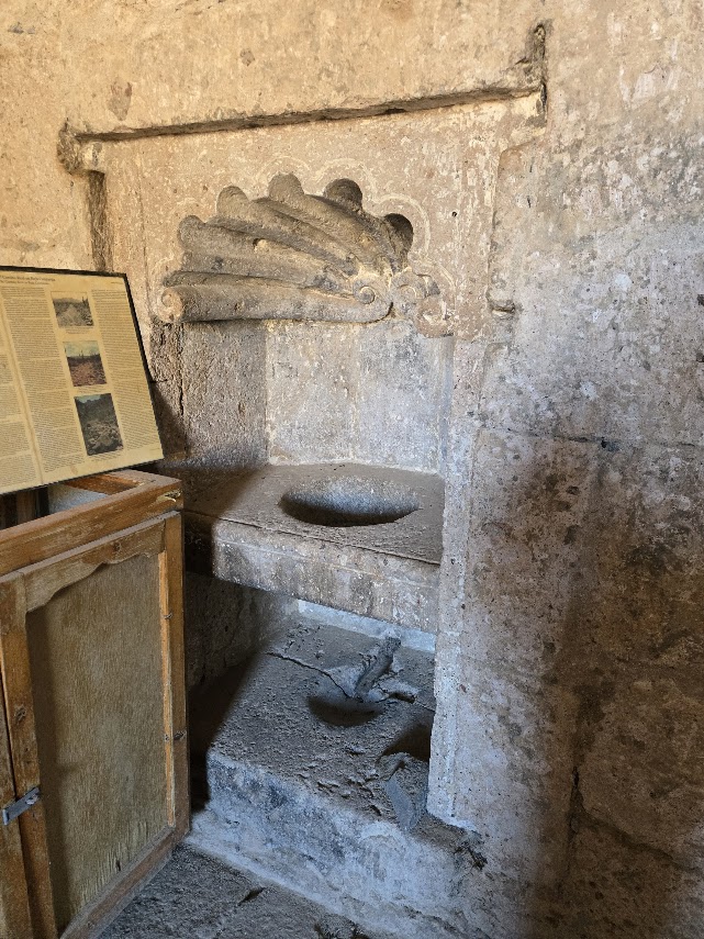
Inside is a museum
Padre’s robes, right to left: Jesuit, Franciscan, Dominican.
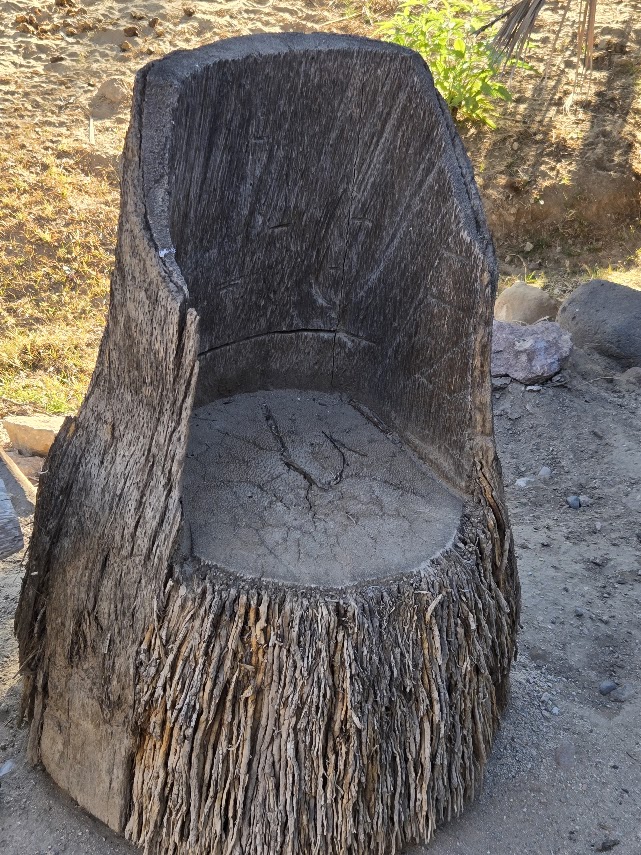
Palm tree chair
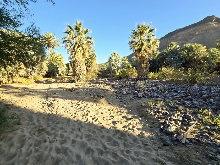
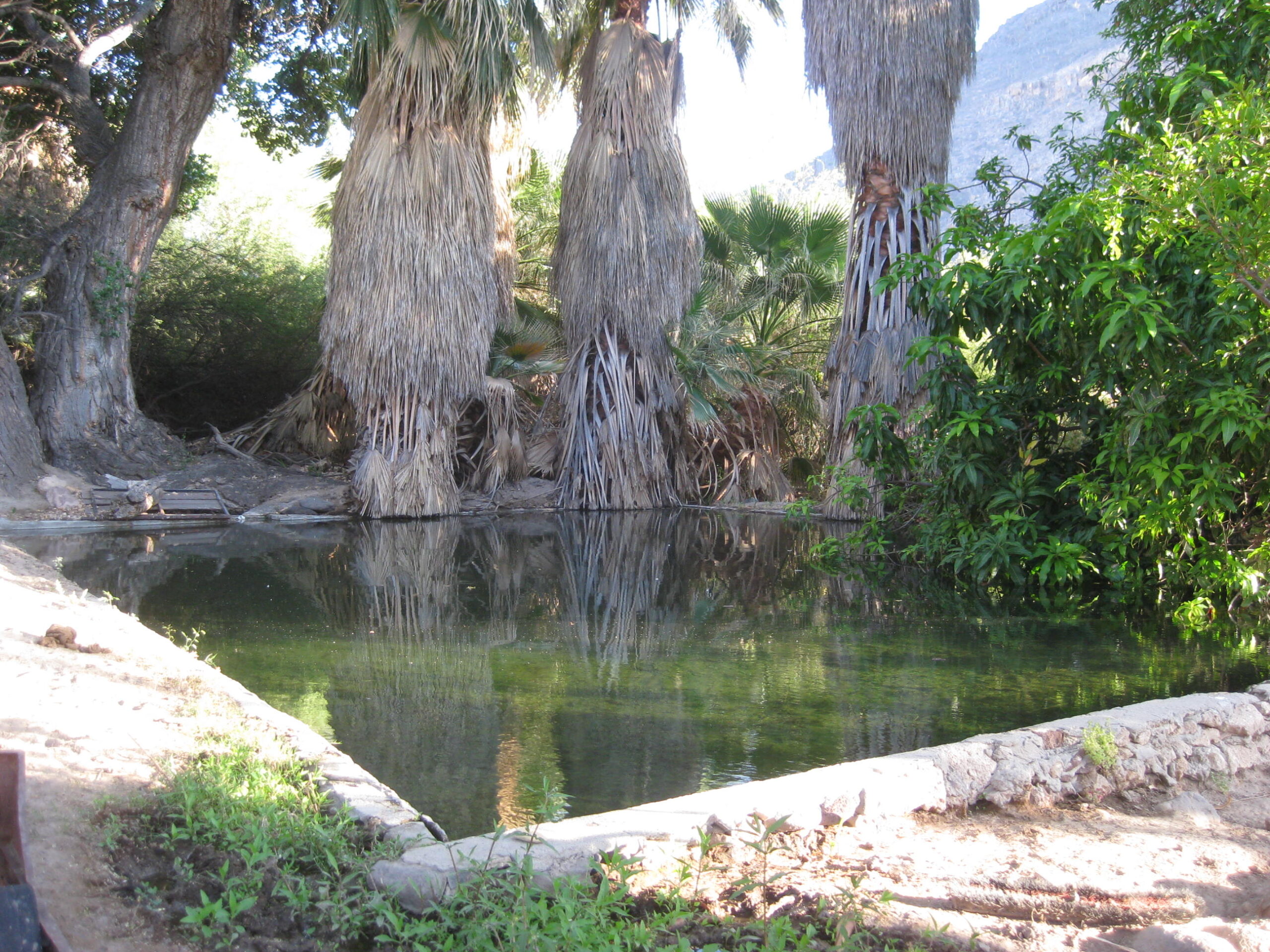
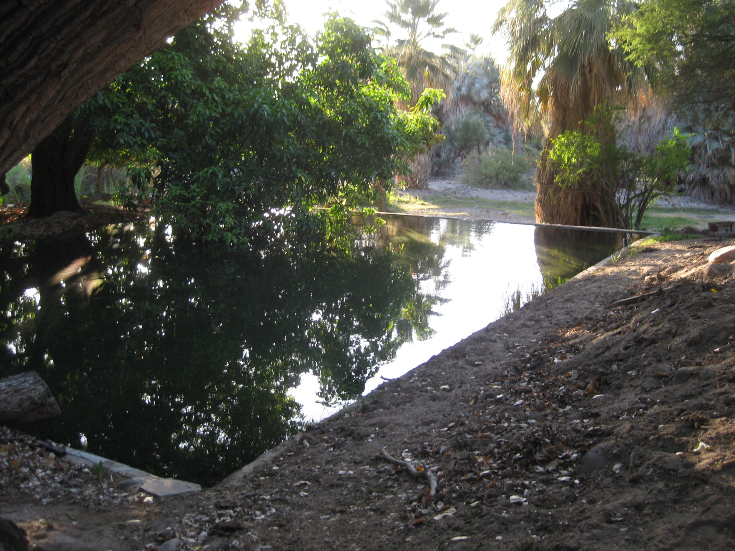
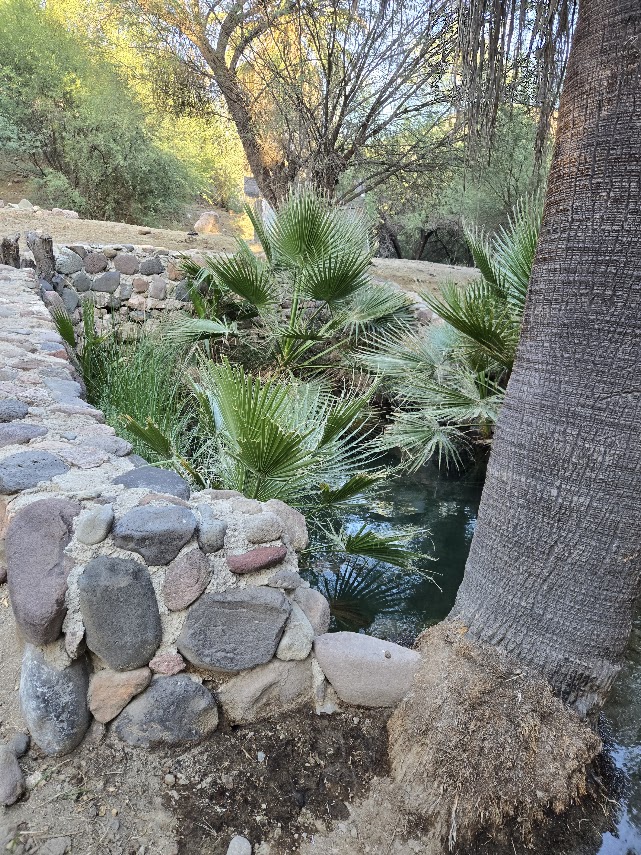
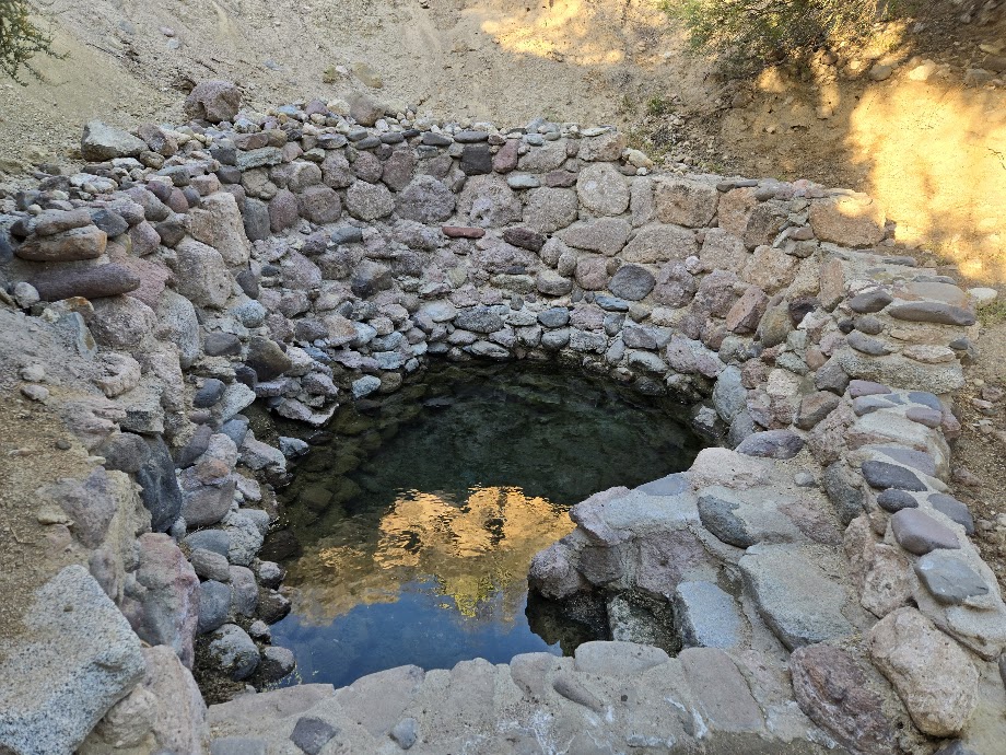
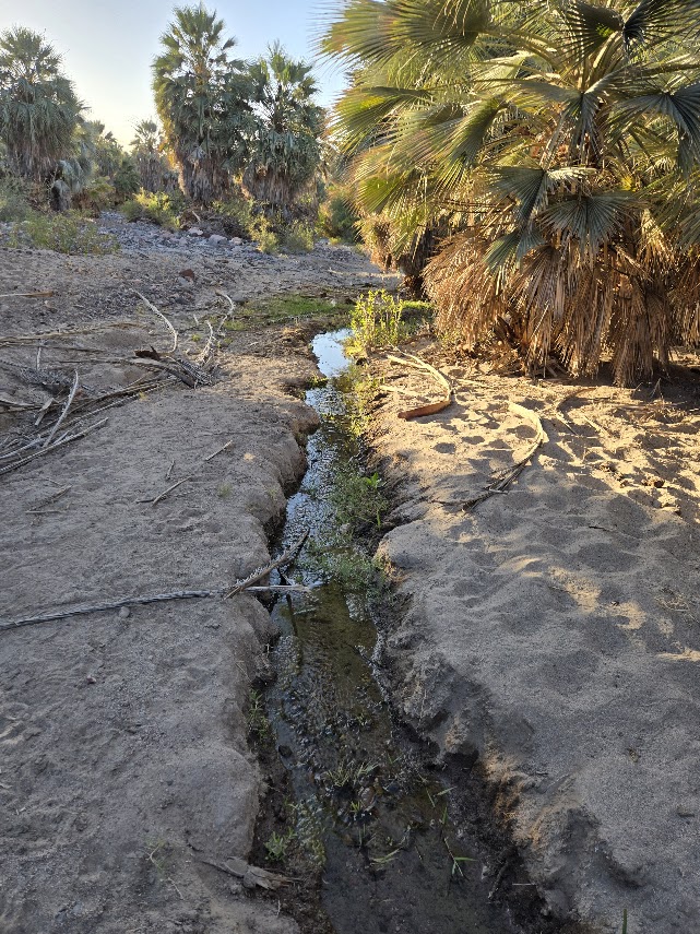
We walk to the warm springs in the arroyo that was the mission fruit tree orchard. The flash floods took away many trees but the palms survived. The location of the springs were named Adac by the Native Cochimí Indians.
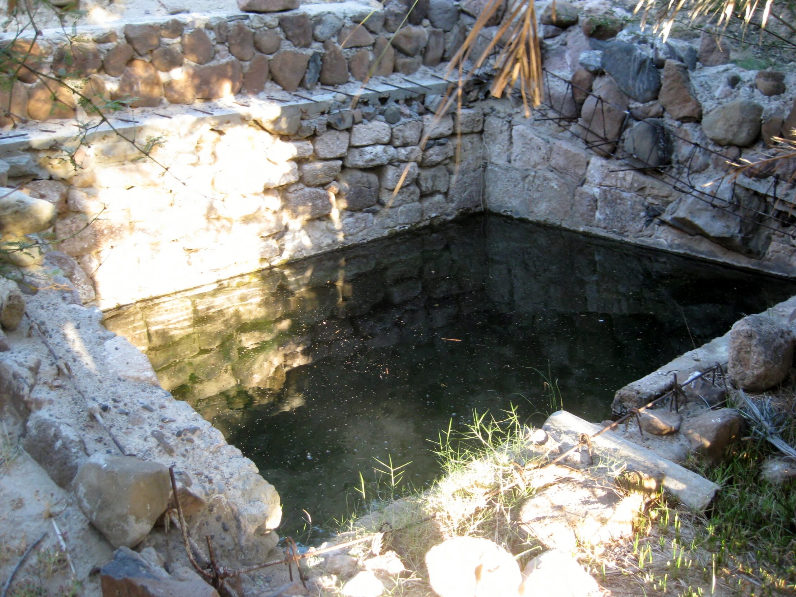
The beautiful blue palm of Baja California.One of the pilas (reservoirs).
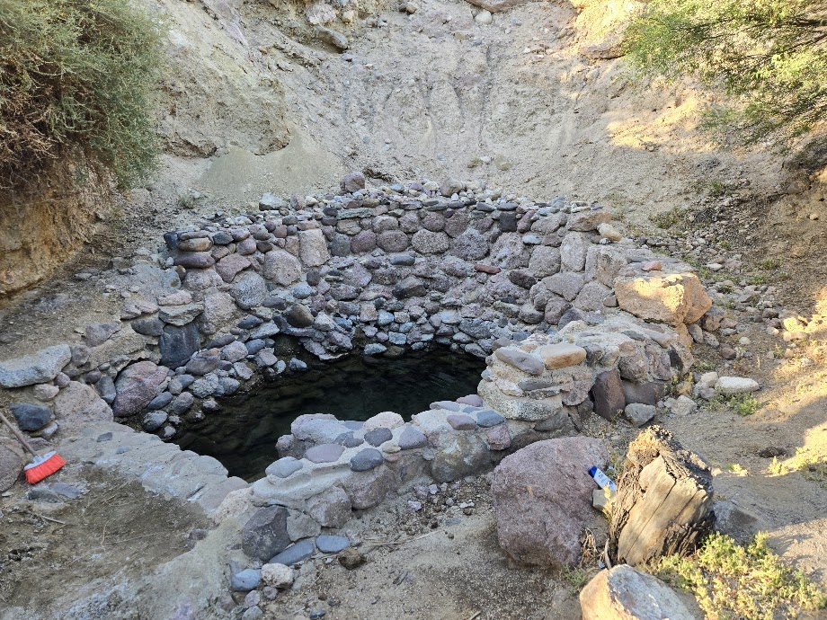
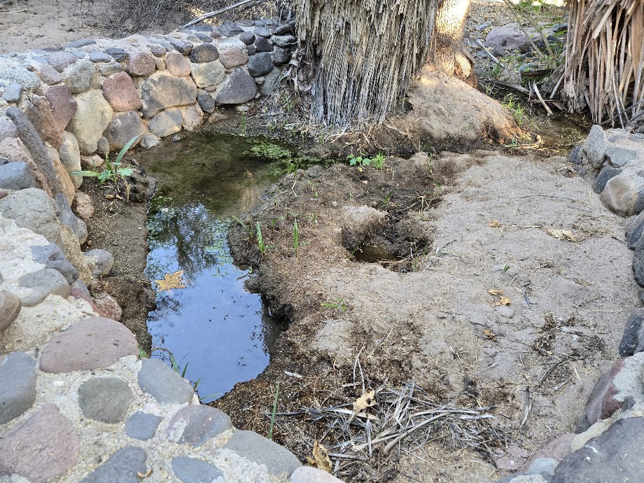
One of the 3-4 developed warm springsThis spring has been taken over by young palms.
This spring was filled with flash flood sand.Warm spring water quickly cools as it flows to the orchard.We climb up the slope from the springs for this look to the mission, as it would appear to travelers going north, on El Camino Real.
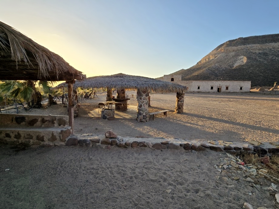
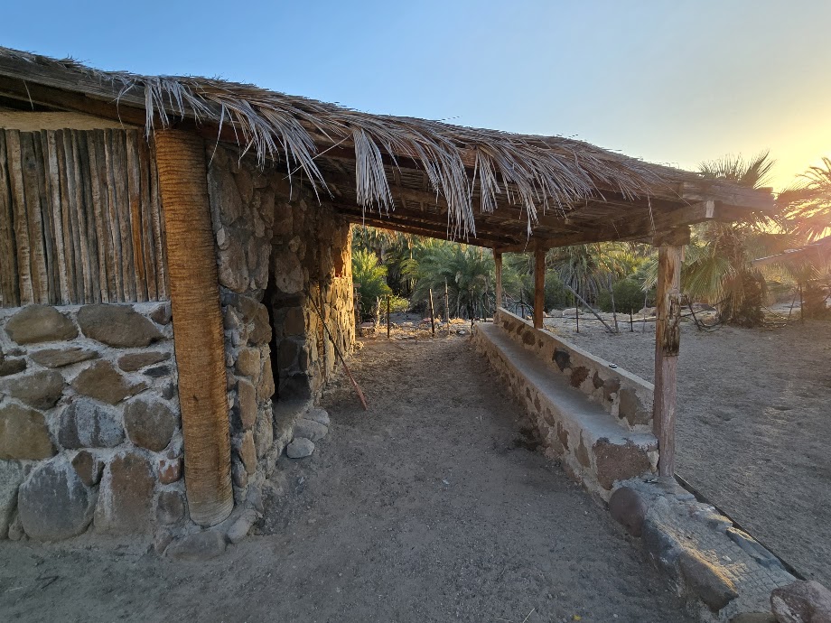
Accomodations at San Borja
Two rooms share a palapa palm roof. 200 pesos per person (~$12 US). A path on the left leads to showers and a flushing toilet. Licia lights a fire under the water tank for a hot shower. A large, open-side palapa is also available. A group of travelers arrived late in the night and set up camp here. The smaller row of palapas, I had used in 2016 and 2017, were destroyed by the hurricanes.
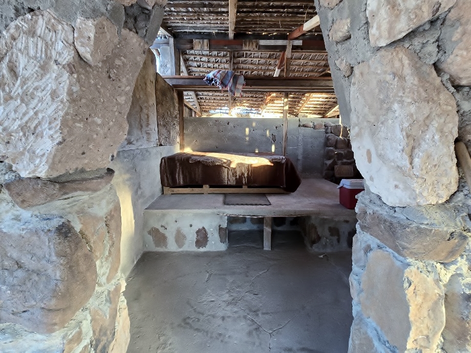
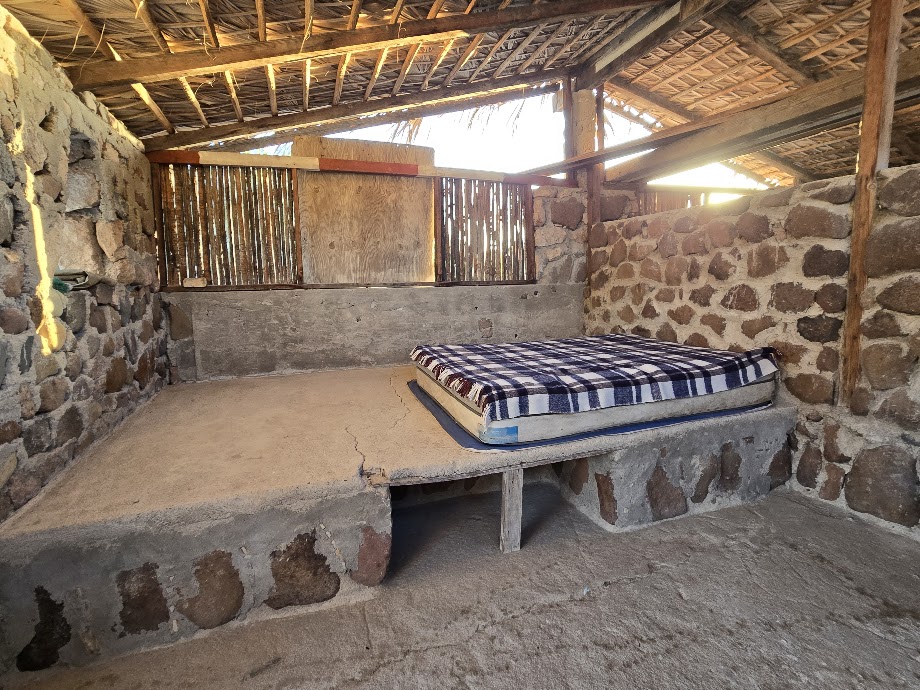
LeMoine stayed in the north room.I stayed in the south room. In the morning, a baby scorpion was under a tarp I had placed along the left side. Shake out everything!My room was furnished!
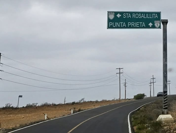
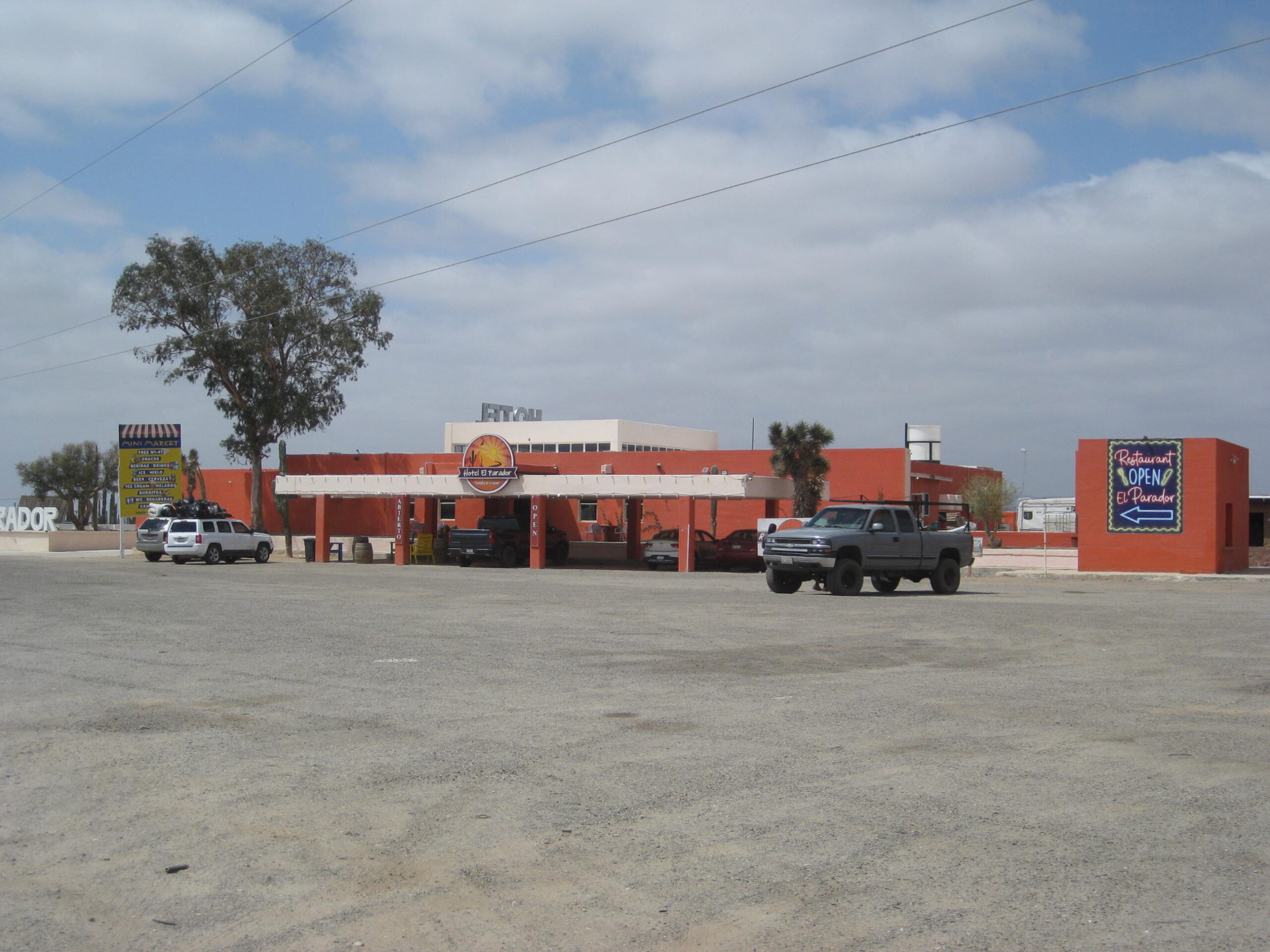
Today, we will be taking the west road from San Borja to Rosarito (Km. 52), then turning north with a side trip to Santa Rosalillita (Km. 38). Next, we stop at Parador Punta Prieta (Km. 0) for a delicious breakfast at the new hotel, El Parador.
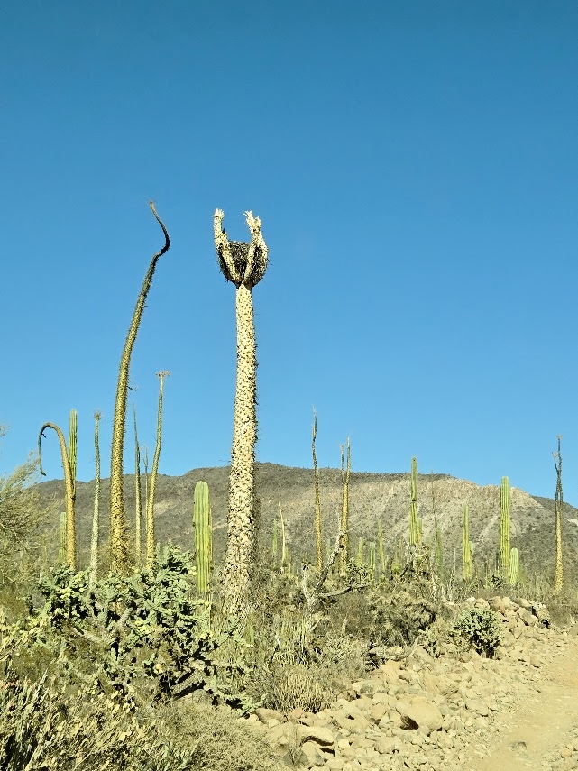
Many signs, 3 miles west of San Borja.Ball moss is a parasite that attaches to boojum and elephant trees. So Dr. Seuss-like!
We arrive at (Nuevo) Rosarito, some 21 miles from San Borja.
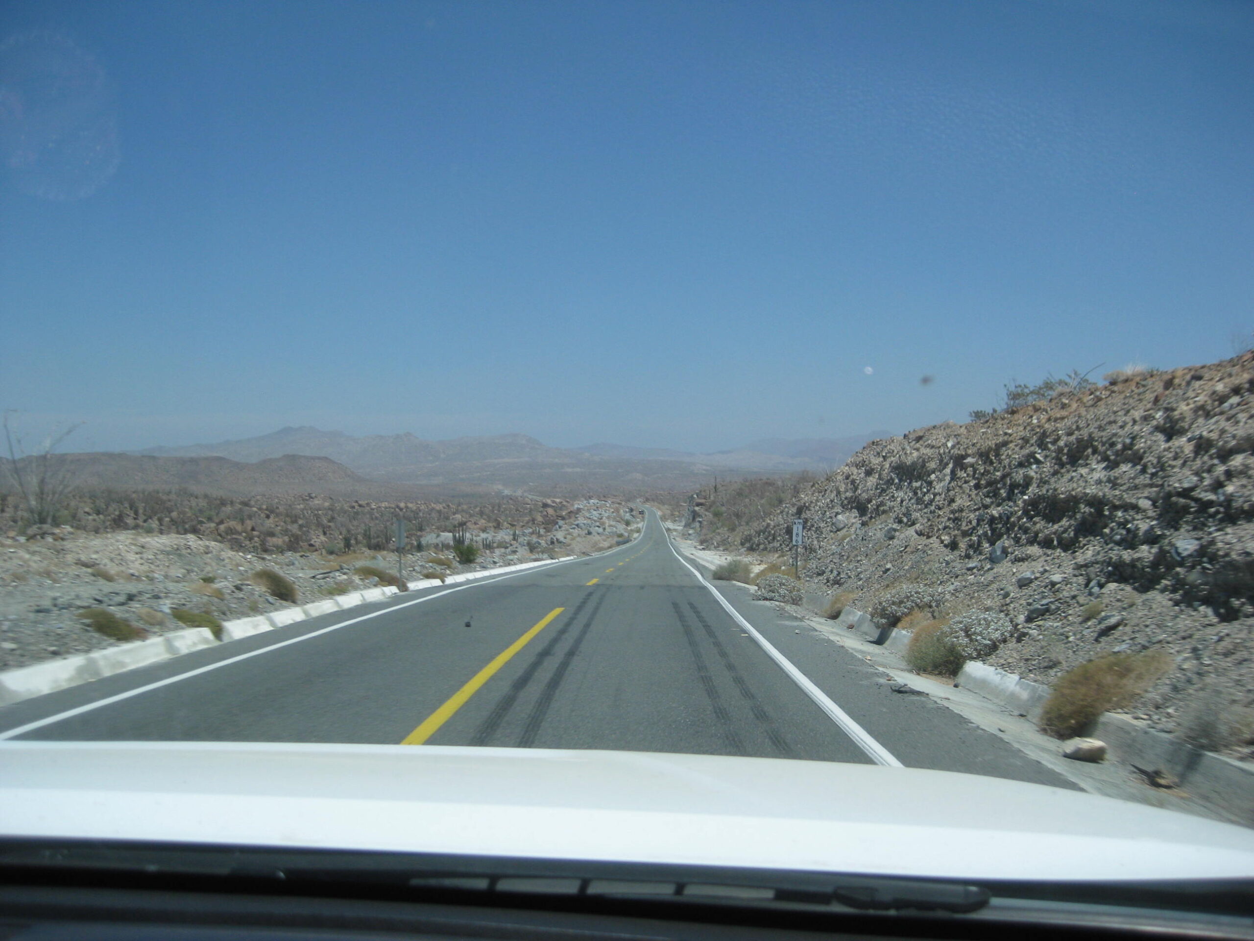
North on Mex. #1
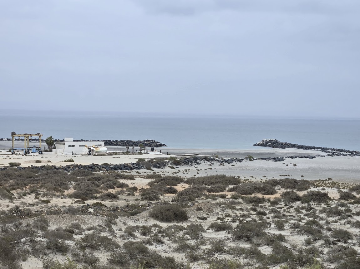
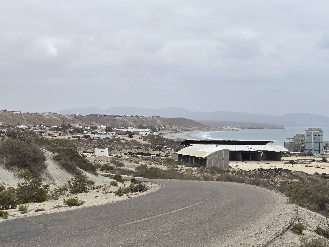
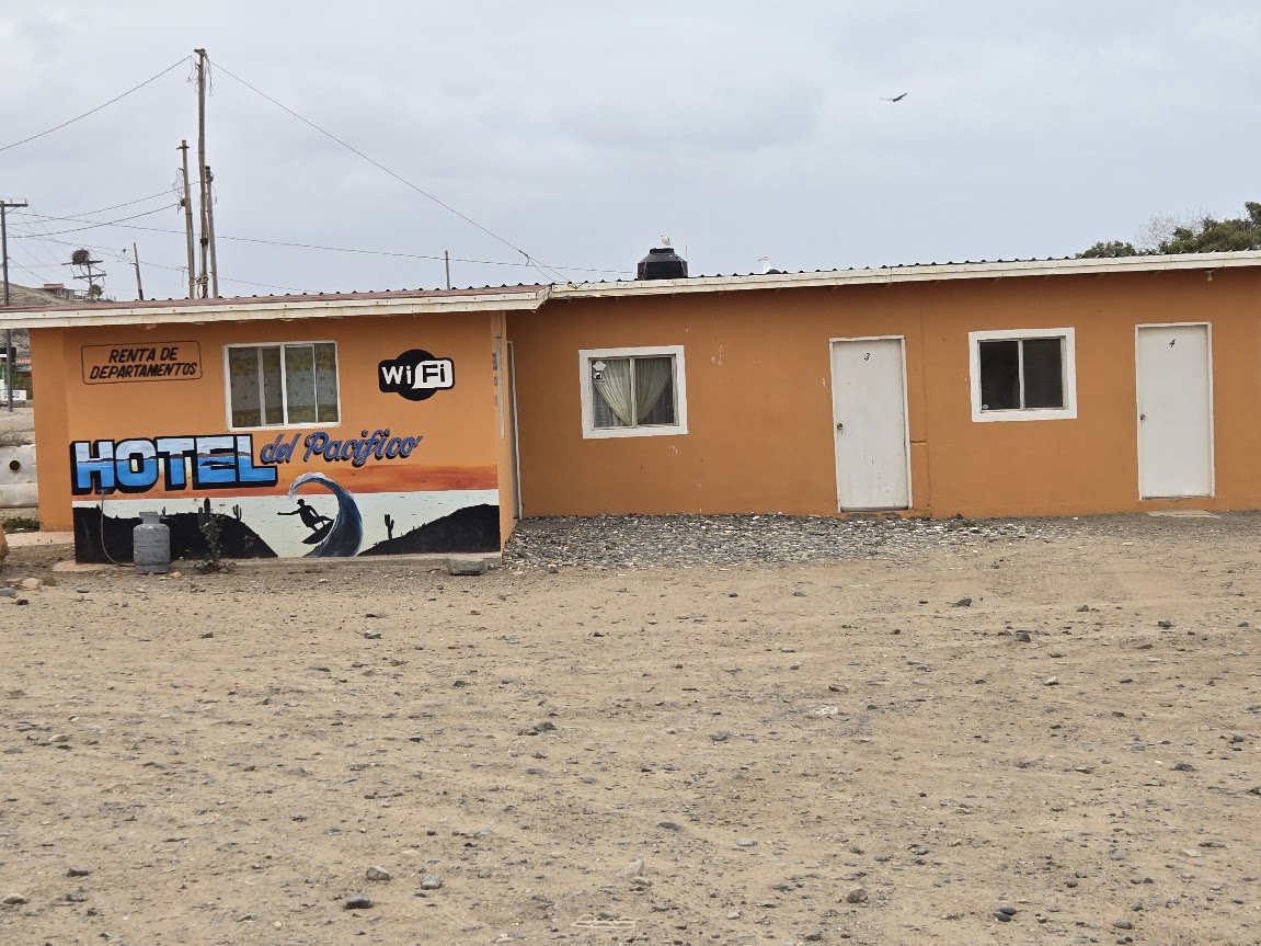
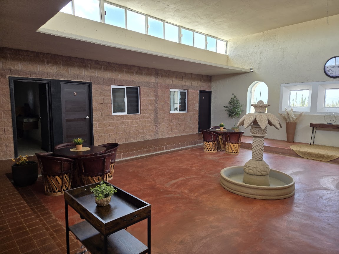
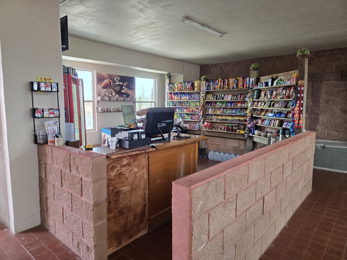
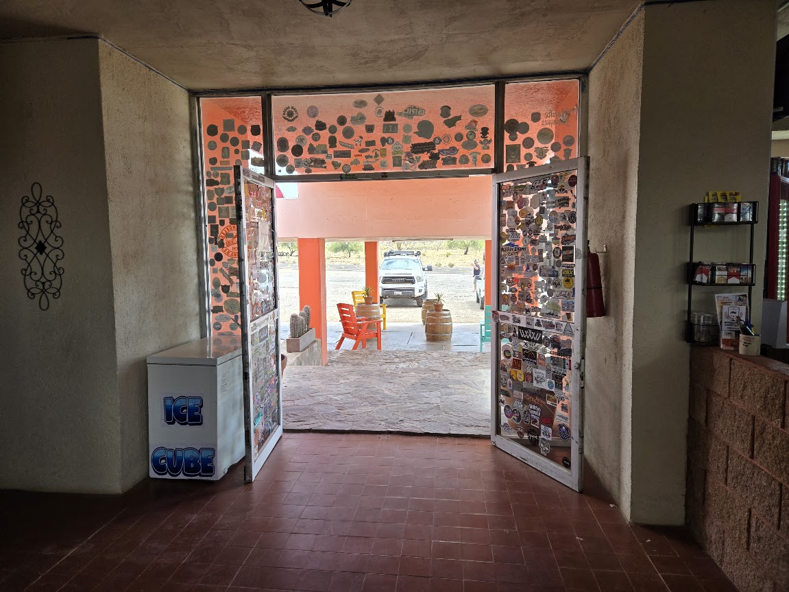
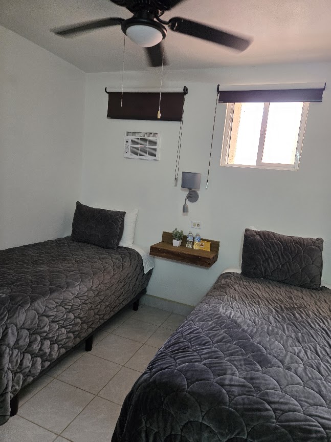
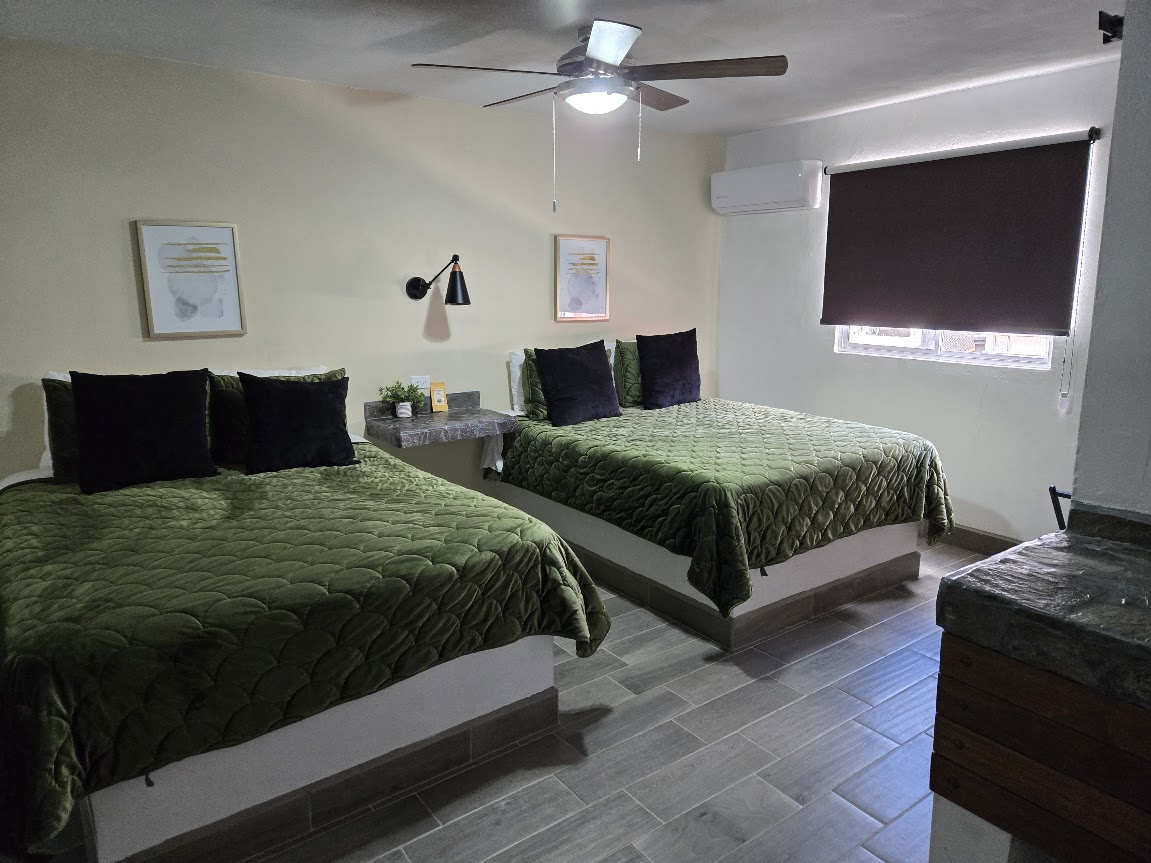
There has been a trend to spell the fishing town with two i’s instead of the correct double L. Nice to see the sign sticking to the traditional spelling!Santa Rosalillita escalera Nautica (sand filled) Harbor.Santa Rosalillita, from the north/ harbor.Santa Rosalillita ‘Hotel del Pacifico’Parador Punta Prieta (L.A. Bay junction) gasoline sales.5 gallons was 590 pesos = US $7.15/ gallonThe new El Parador Hotel & Café in the converted parador lounge and cafeteria building.LobbyConvenience storeEntrance1,000 peso ($60) room1,500 peso room ($90) + next two photos…
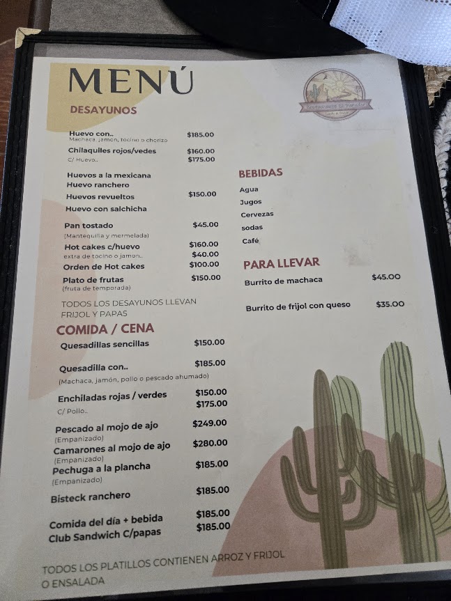
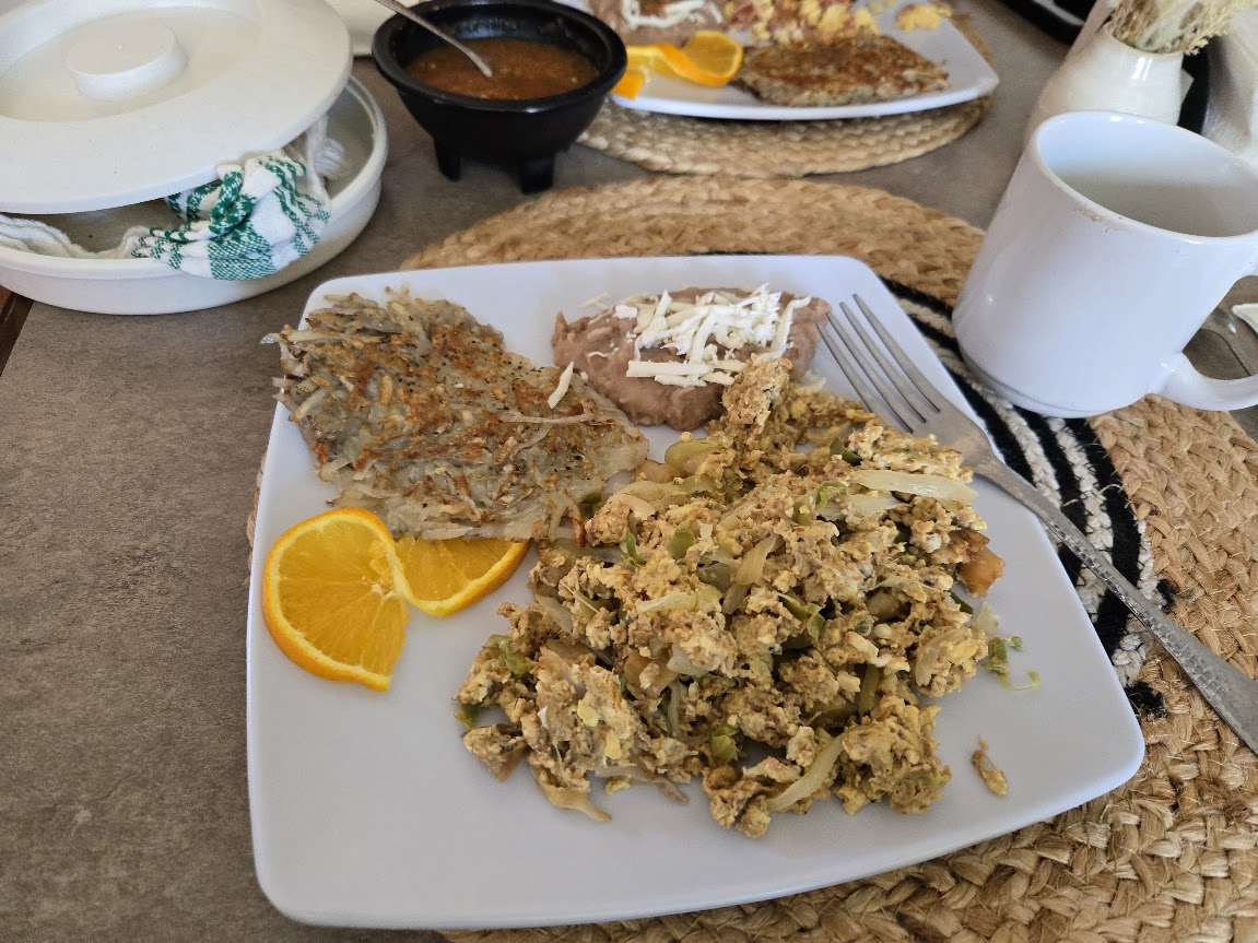
El Parador CaféHuevos con Machaca, 185 pesos ($11.21). It was very good, moist machaca.Laura, the owner, gave me this card
Northbound on Mex #1 to Laguna Chapala
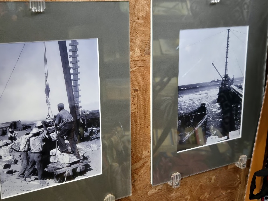
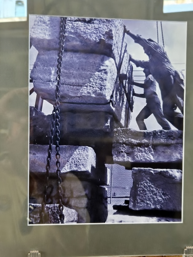
Laguna Chapala Valley in 2026… but when the highway was being built here, in July 1973…My dad’s new Ford wagon took on the new Baja road, even before it was all built!
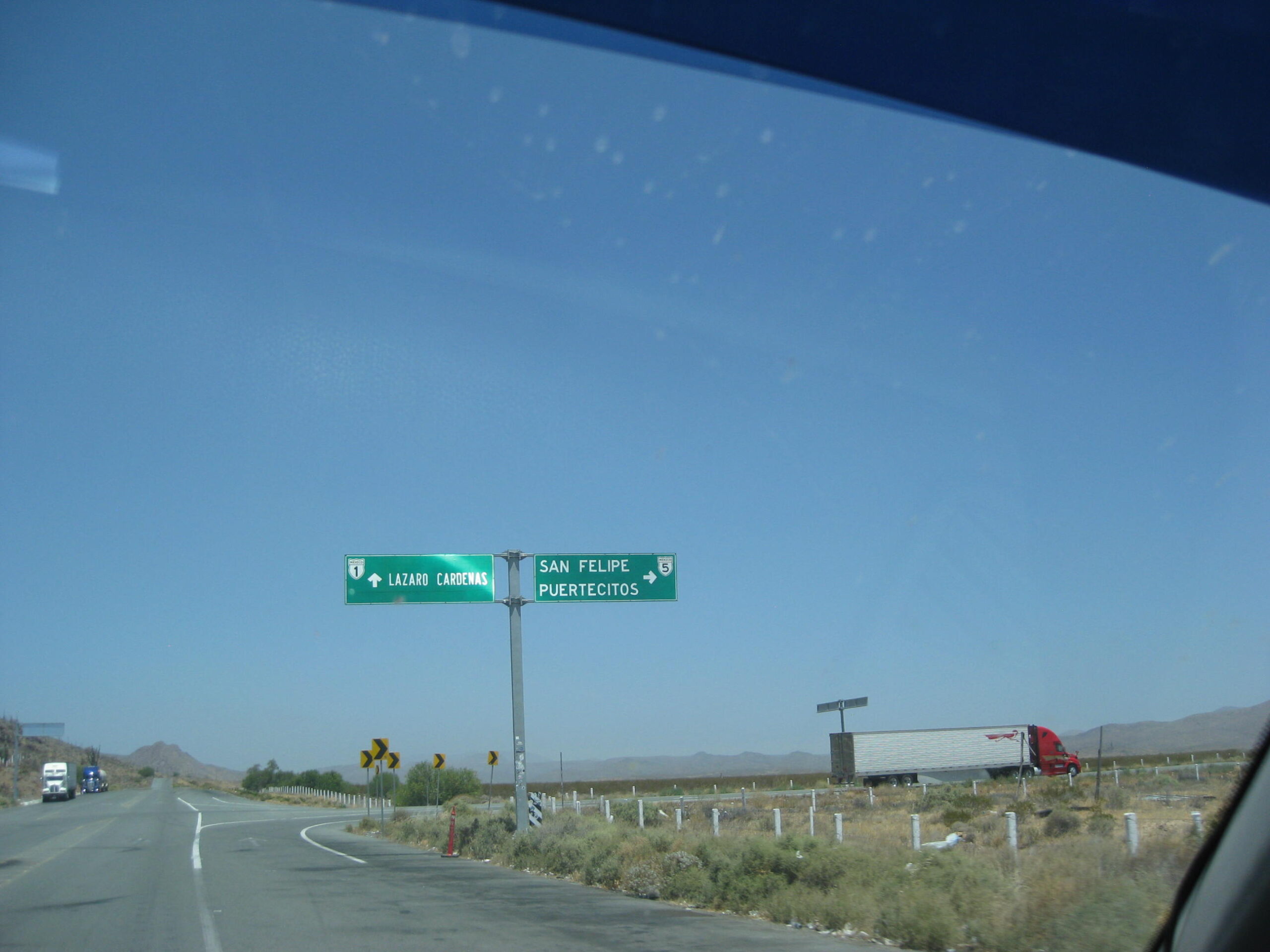
North on Mex. #5
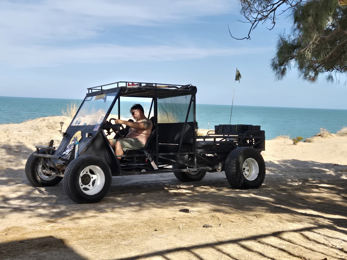
Highway 5 junction (Km. 233.5). The highway north to Puertecitos & San Felipe was completed in 2020.North on the 5 back to LeMoine’s and then Dave’s home.Dave brings out his ‘Barney Car’ and we go to LeMoine’s place for a great dinner.
Some edits or additions may still be made to this album. Be sure to return to check for them!
There are so many more sites and points of interest on this amazing peninsula. However, as I say “so much Baja… so little time”!

 The view of the ‘Bay of Angels’ is one of my finest traveling memories.