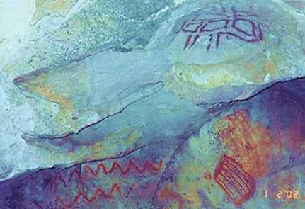
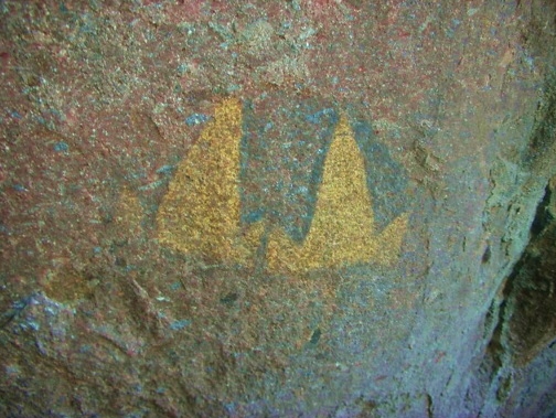
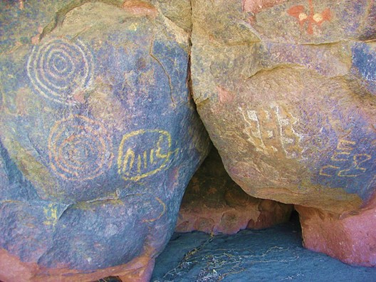
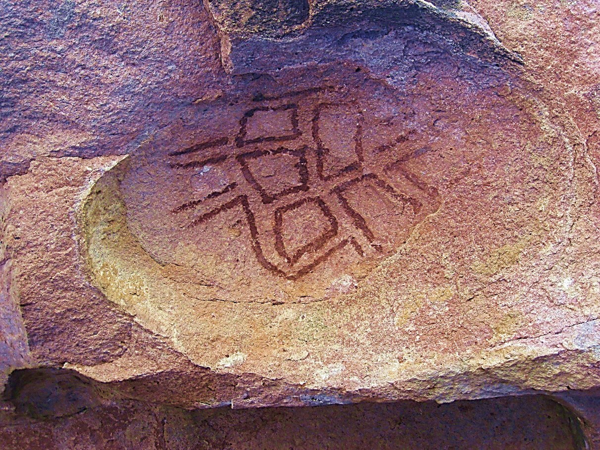
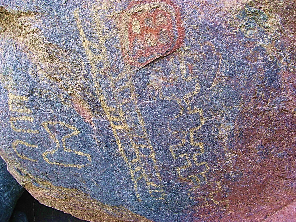
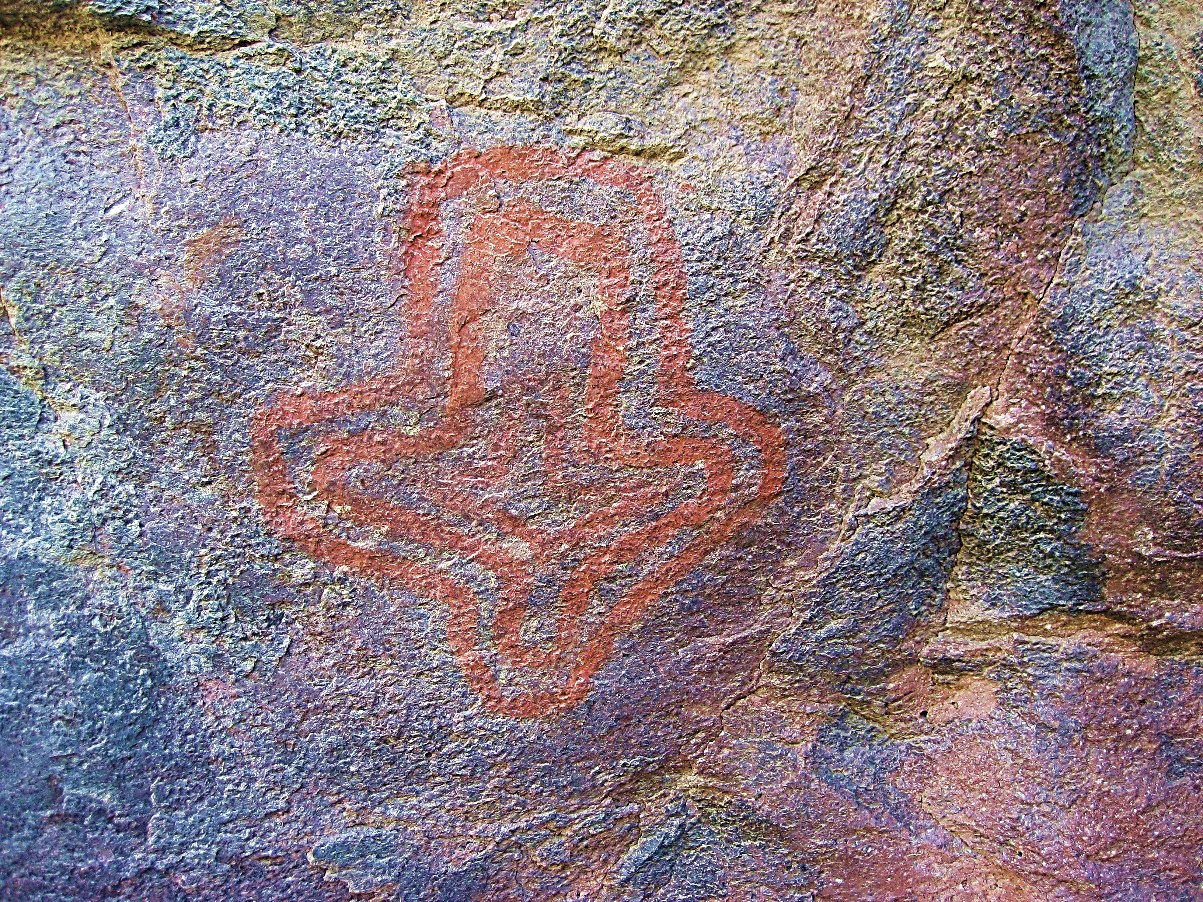
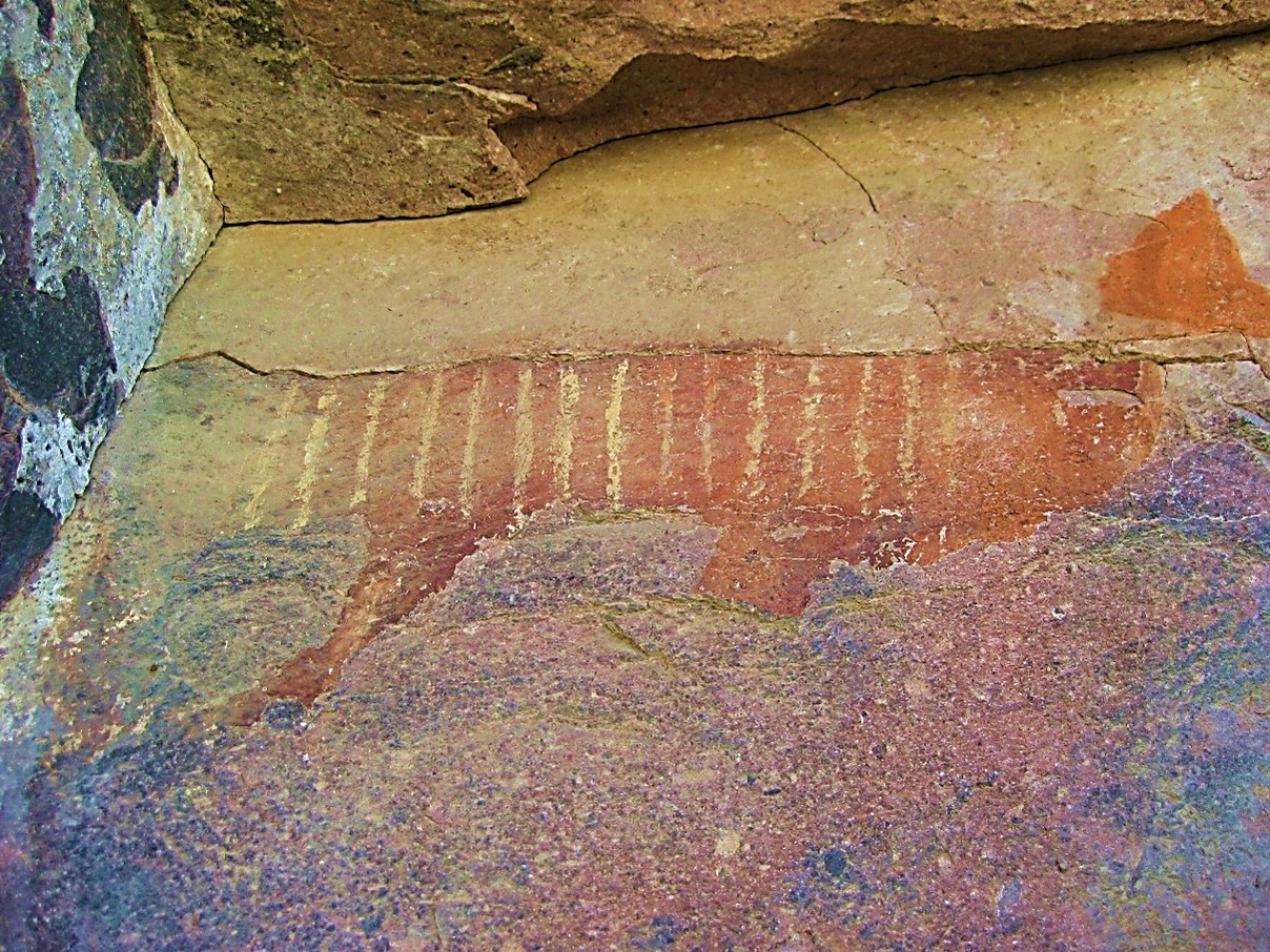
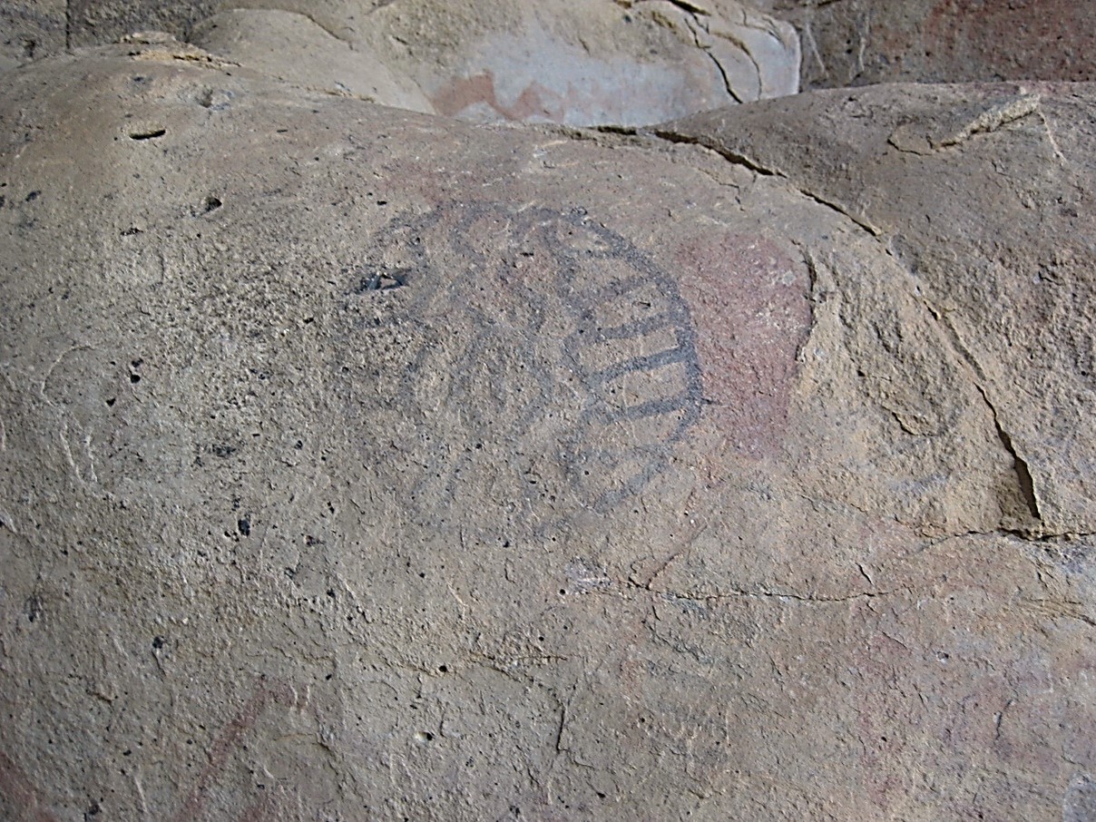
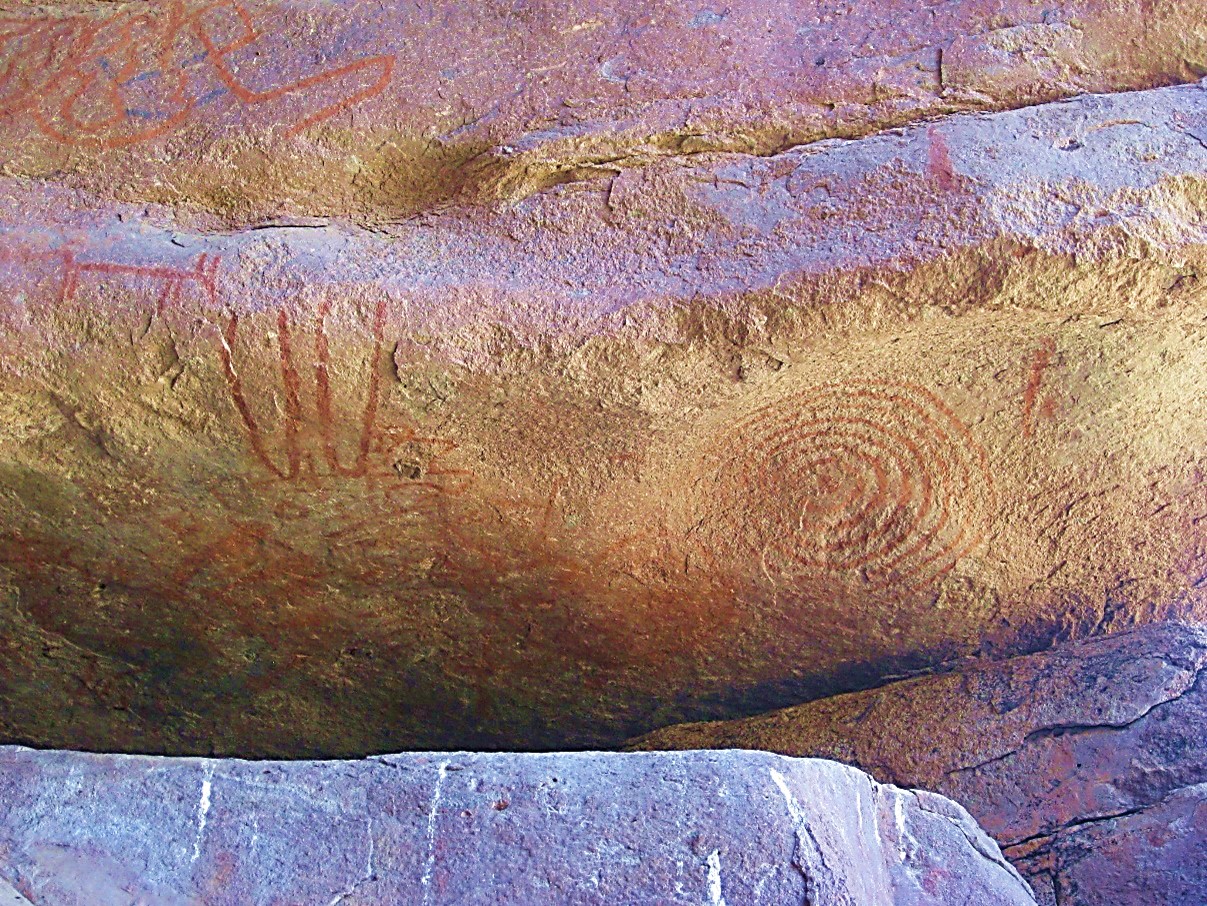
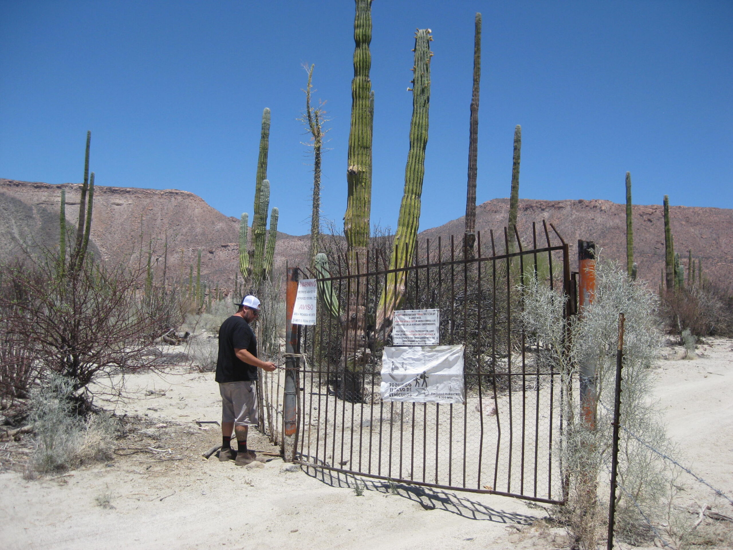
This page is dedicated to the colorful pictographs of Montevideo, taken by my camera from New Years Weekend 2002 to my final visit in February 2017. The bigger, better images will be the newer ones, found by scrolling down past the older ones. The photos have been color enhanced so they are more like what are as seen in person. Not one bit of modern graffiti was seen, fortunately. The road was best done with a 4×4 vehicle. This has been a good filter keeping out disrespectful people. Howard Gulick, author of Lower California Guidebook has the earliest photograph I have seen, from September 1963: https://library.ucsd.edu/dc/object/bb7338770z/. This site was mentioned in the 1967 edition, revision note on page 11 (for page 124). In the 1971 Sunset Travel Guide to Baja California, the map shows the approximate pictograph location. 1975 and later editions of Harry Crosby’s book, The Cave Paintings of Baja California also details the site with photos, drawings and text. In 2018, a new ranch named San Ildenfonso, erected a locked gate 5.1 miles up the 5.8 mile road to the pictographs. Fortunately, the following photographs preserve this fantastic site I have been so fortunate to have enjoyed many times. In 2026, I returned… without a gate key, we walked the final 3/4 mile to the cliff. See the photos in this album: https://vivabaja.com/baja-526/. GPS: 28°54.75′, -113°43.27′

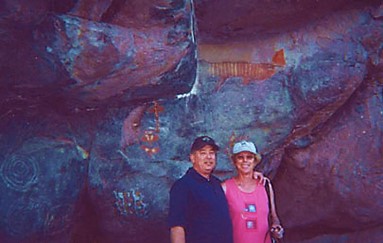
January 2, 2002:
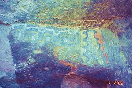
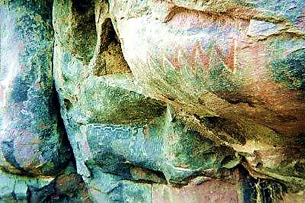
April 5, 2002:


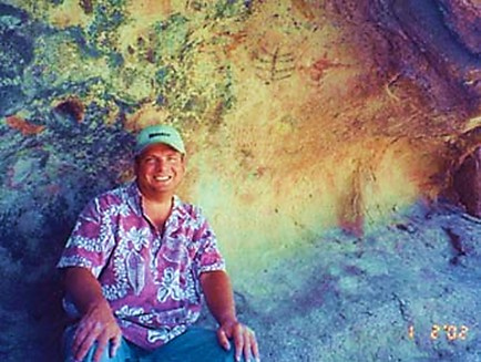
January 2004:

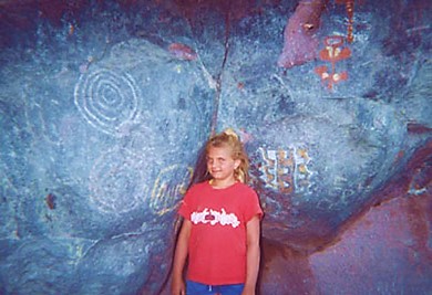
January 2005:


November 2006:
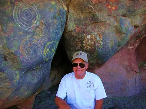


September 2016:


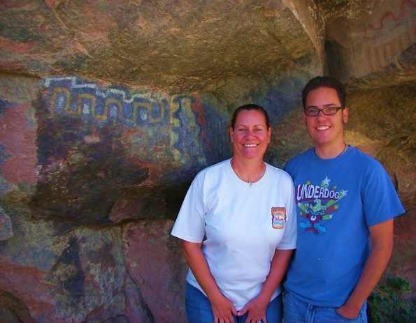
February 2017:


Thank you, www.vivabaja.com