Full name: San Fernando de Velicatá
Founding date: May 14, 1769 Mission #18
Catholic Order: Franciscan
Founded by: Padre Junípero Serra
Condition: Adobe ruins remaining date to the 1790s
Closing date: Closed in 1822
GPS: 29.971109, -115.236434
Access: Mex. #1, Km. 121, south of San Quintín, 2.3 miles southwest, cattle gate at 1 mile (open in 2025).
>To see where Mission San Fernando de Velicatá is, maps and directions at bottom of page<<
2025 Photos by David Kier and Dave W.
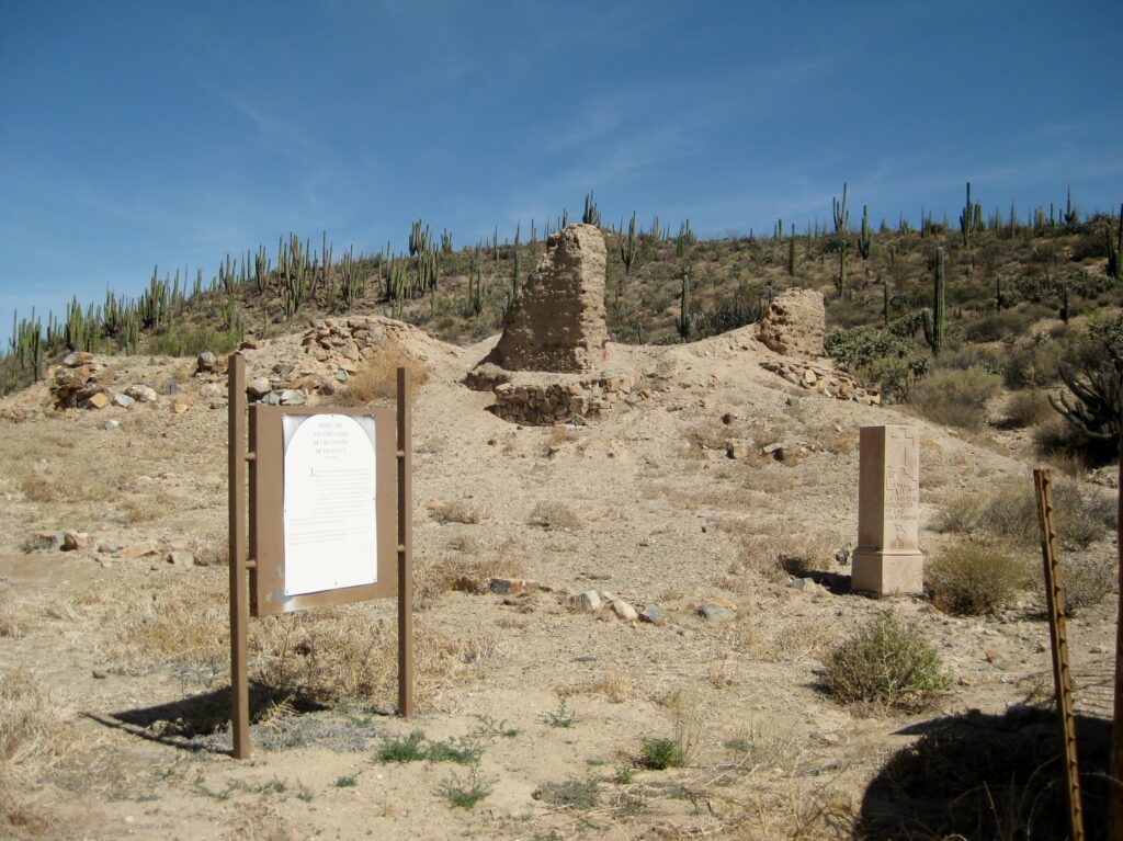
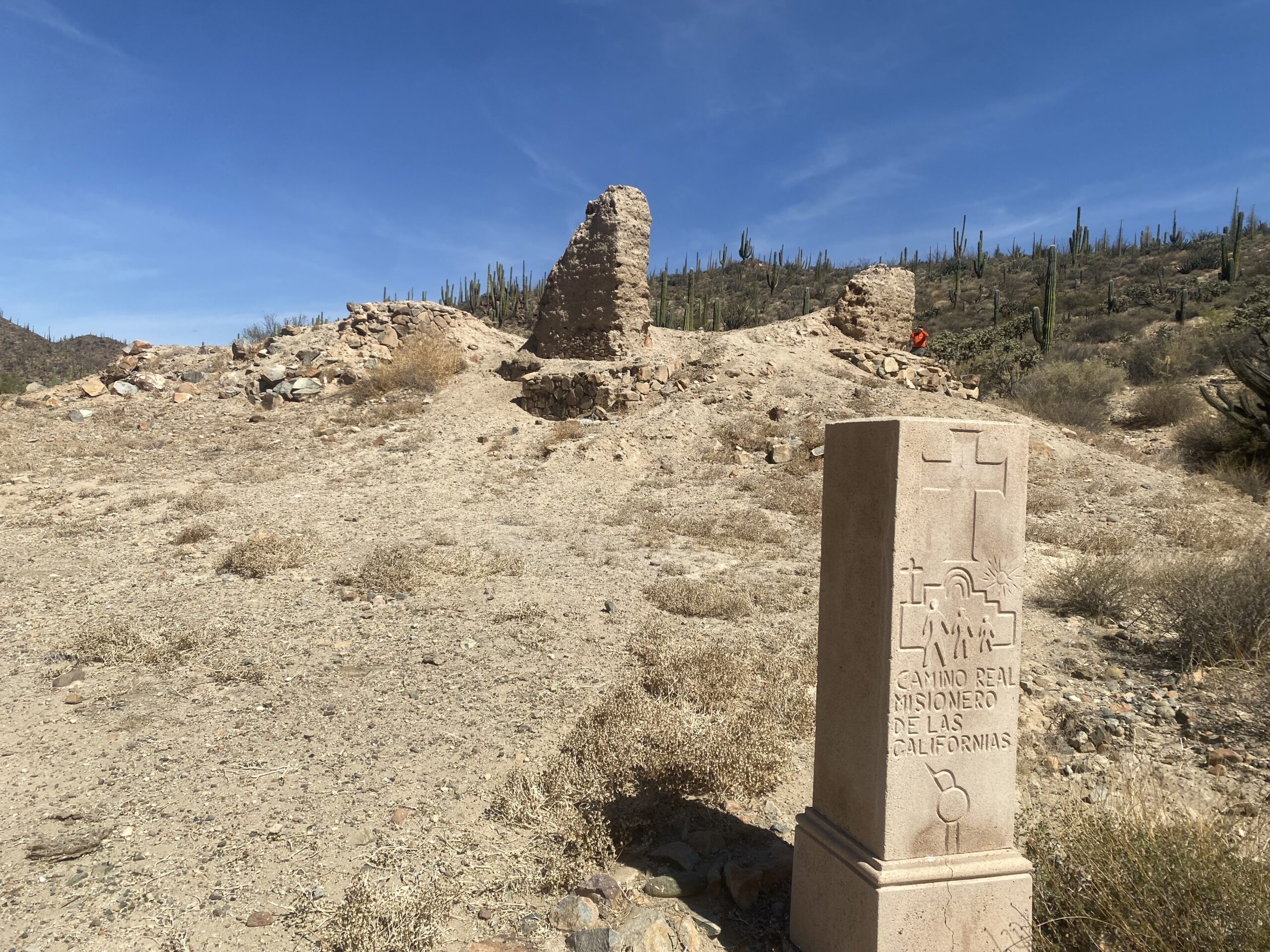
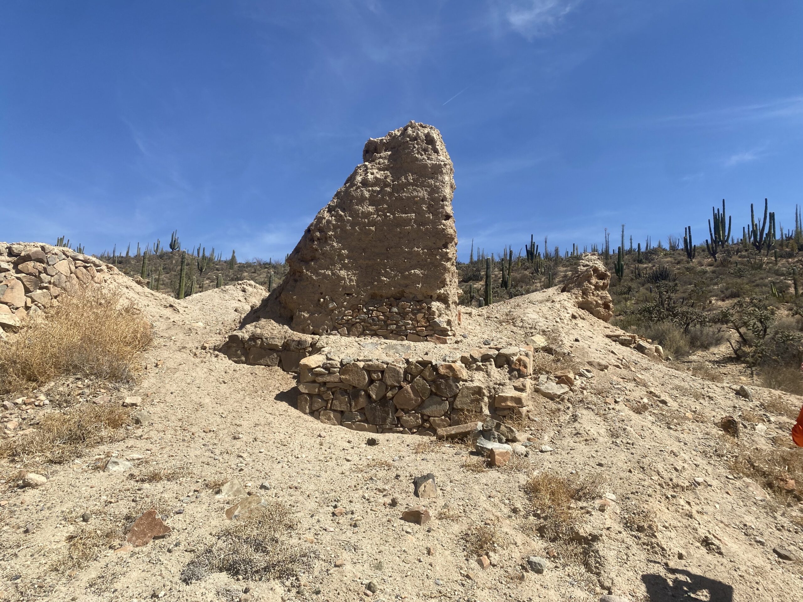
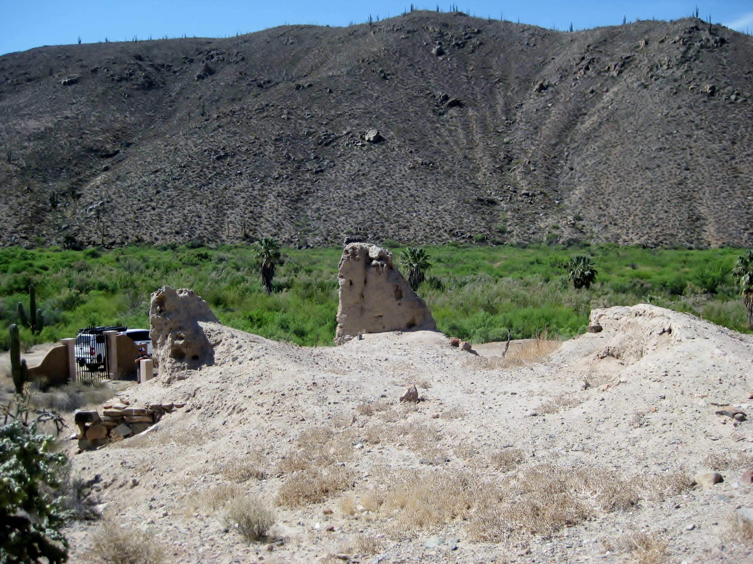
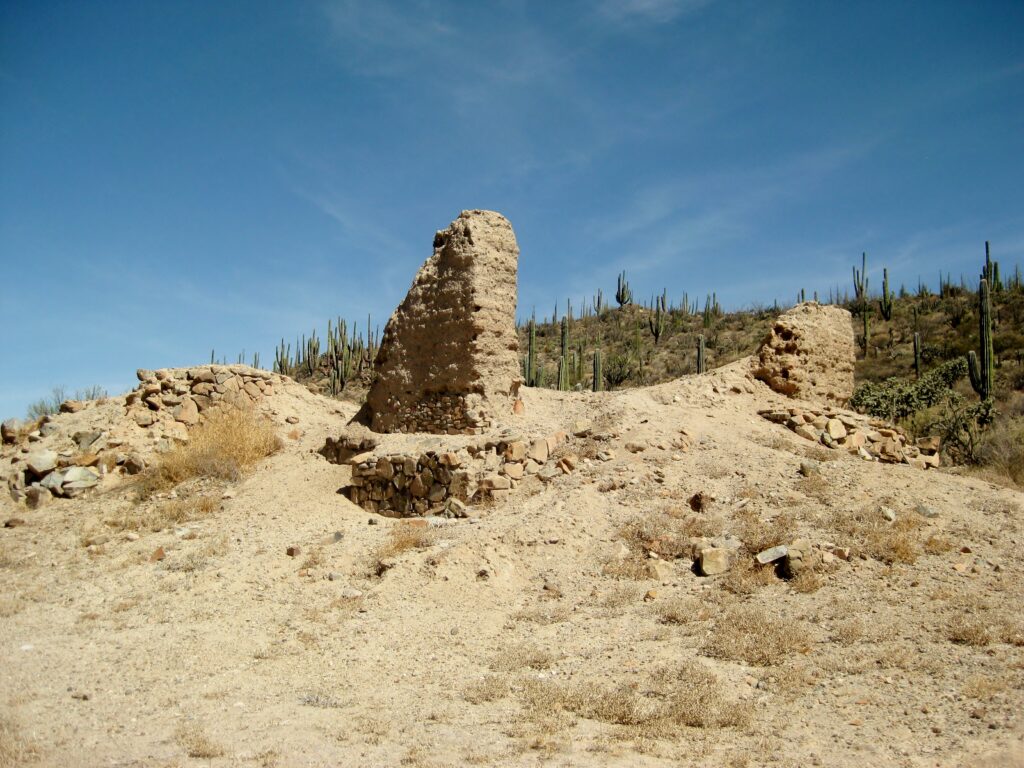
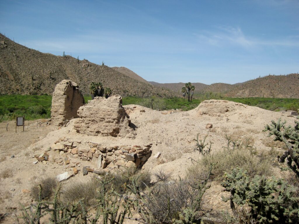
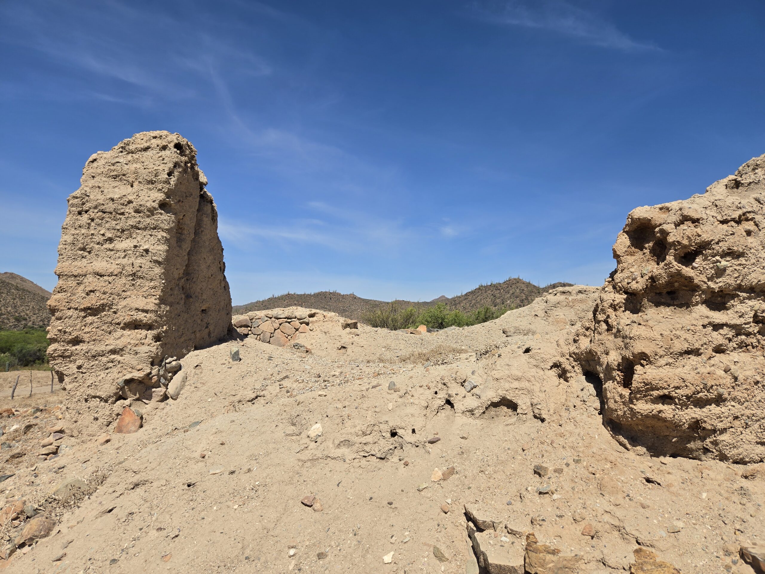
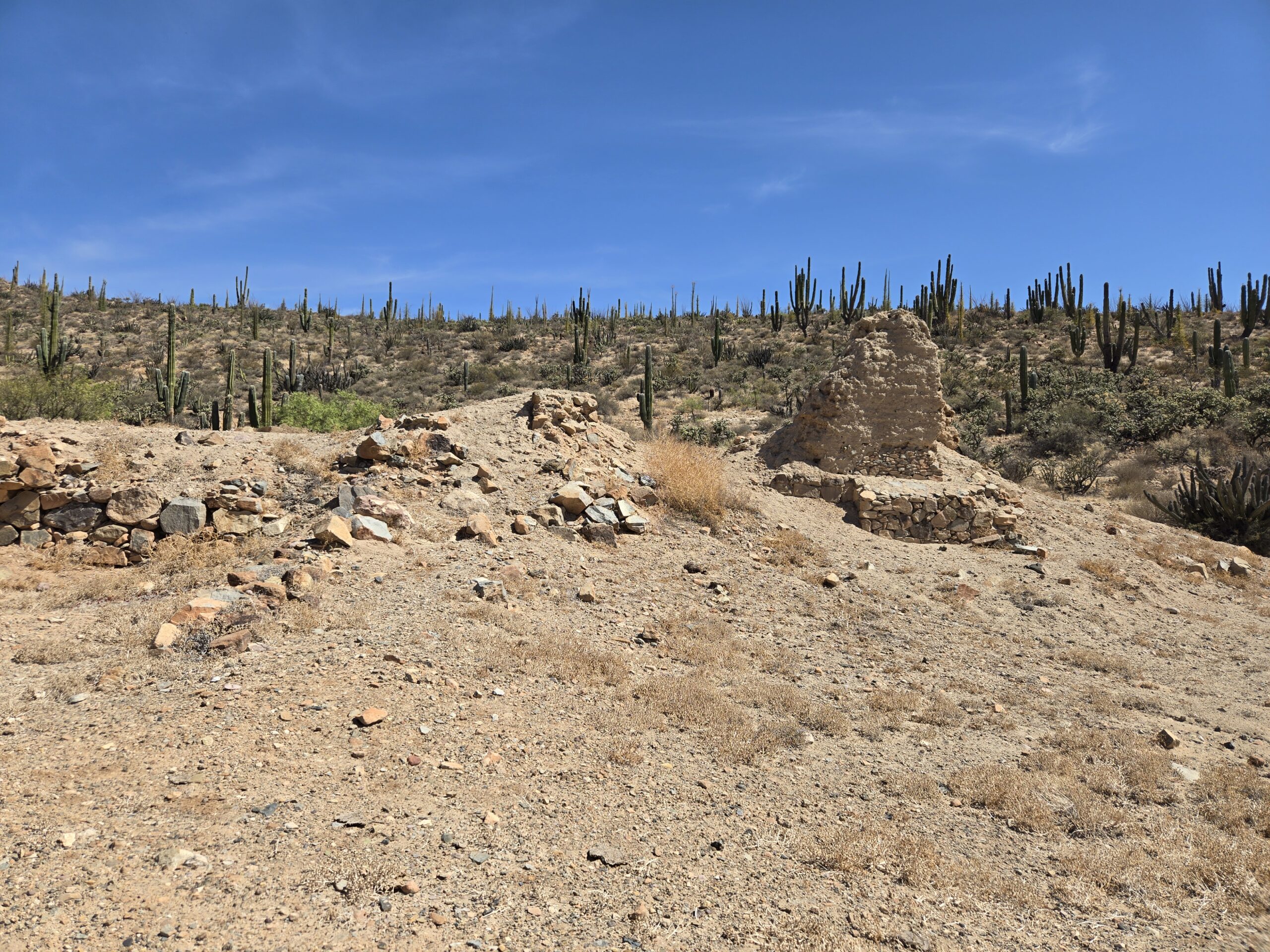
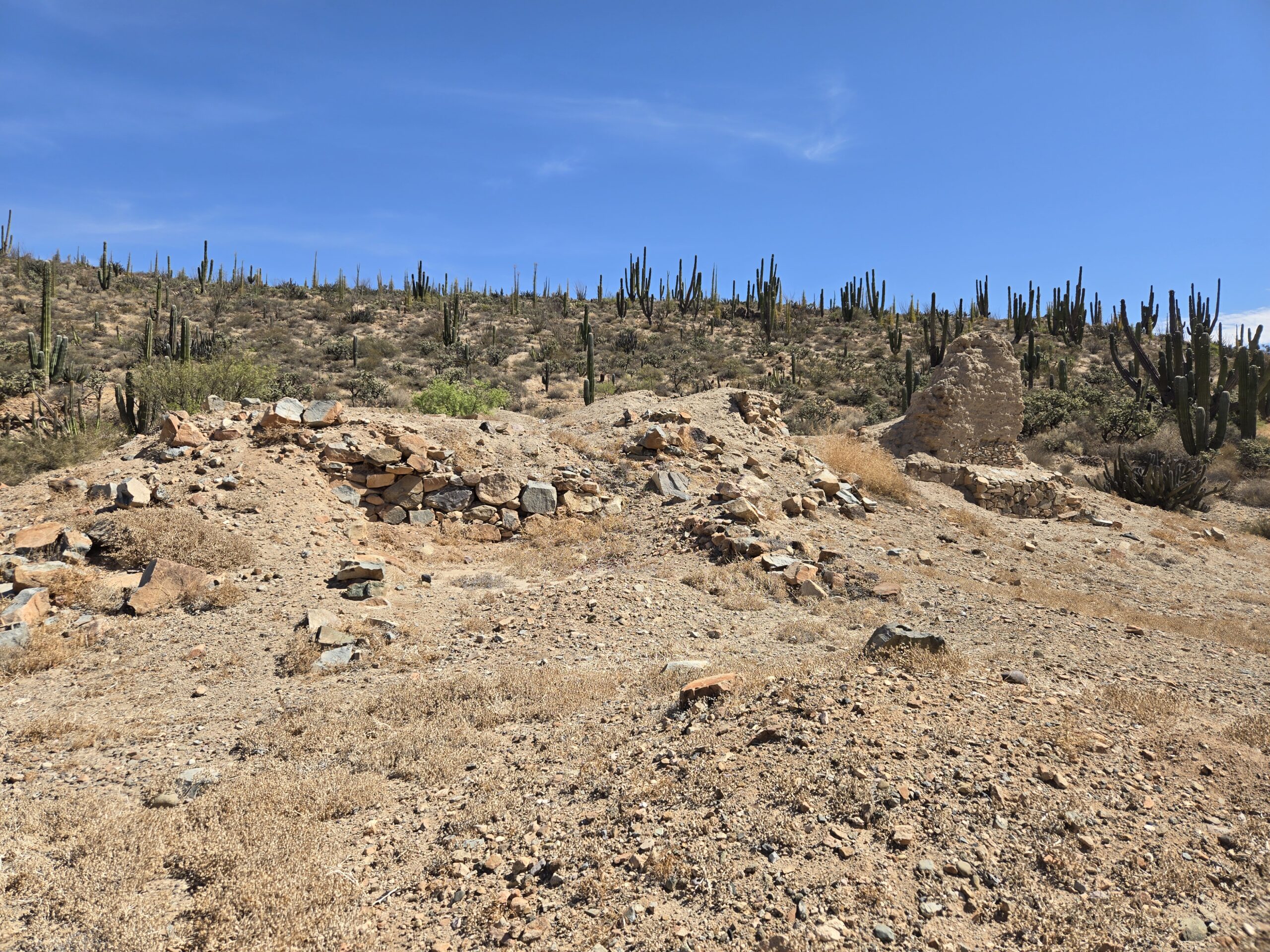
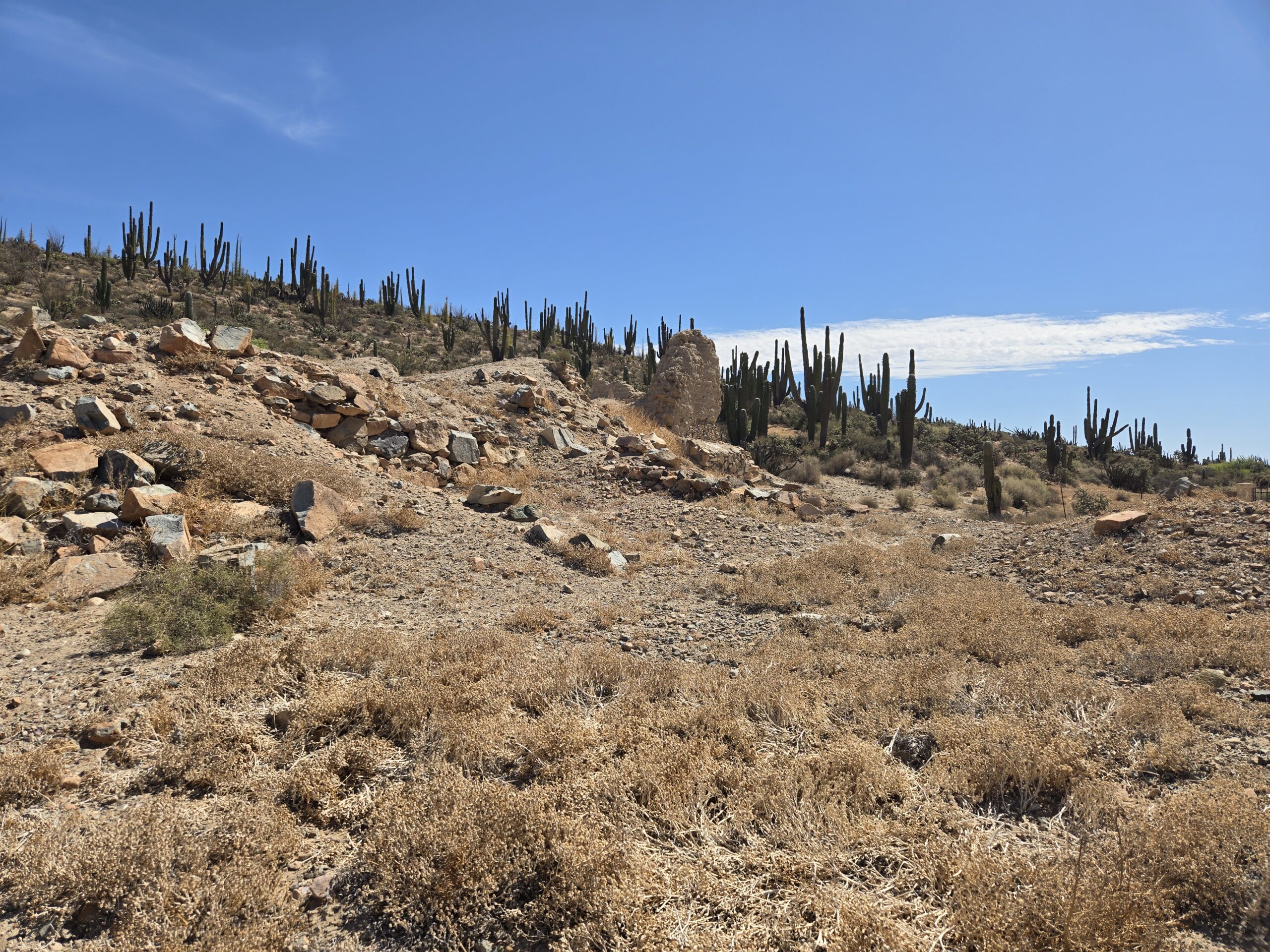
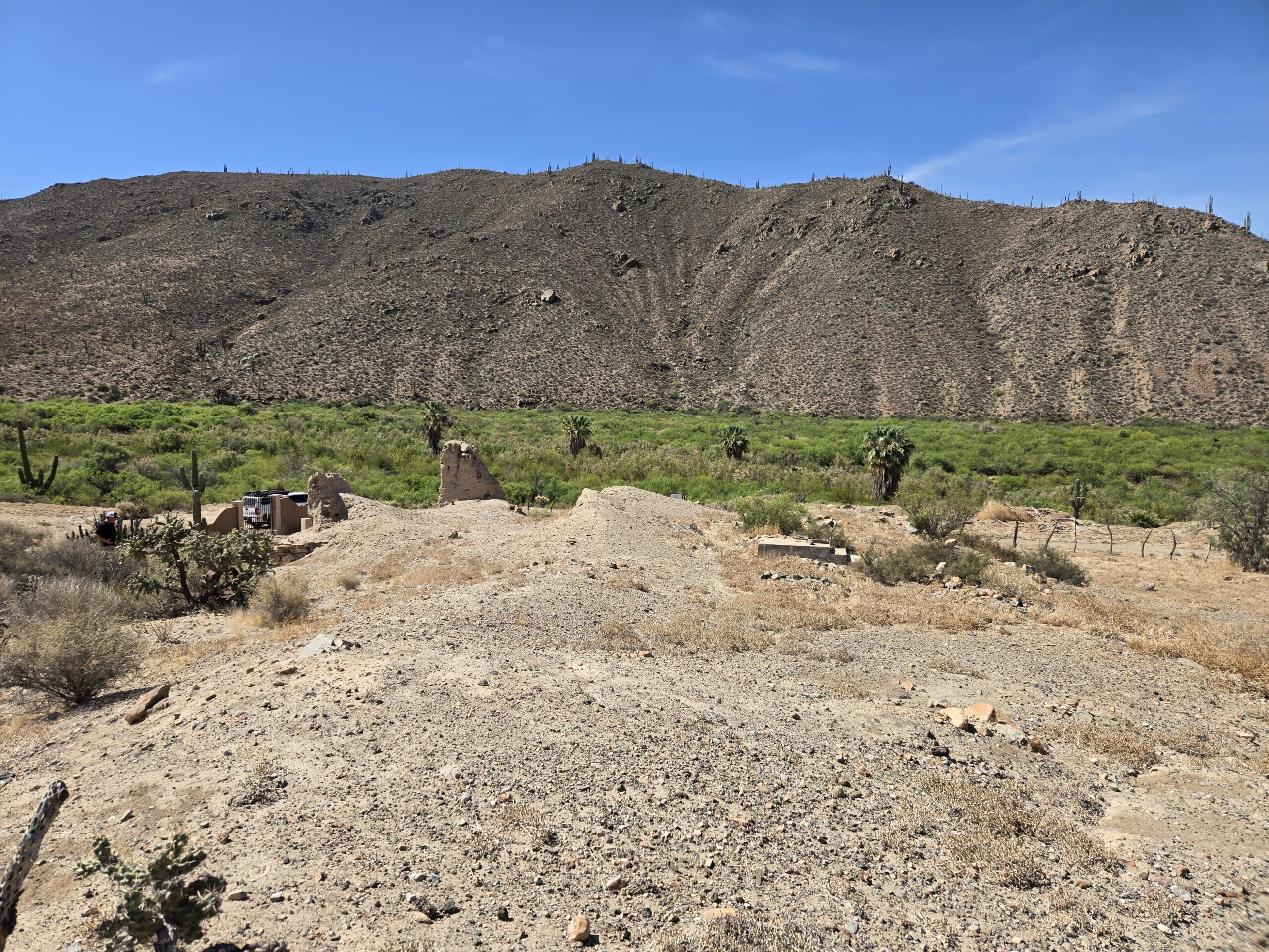
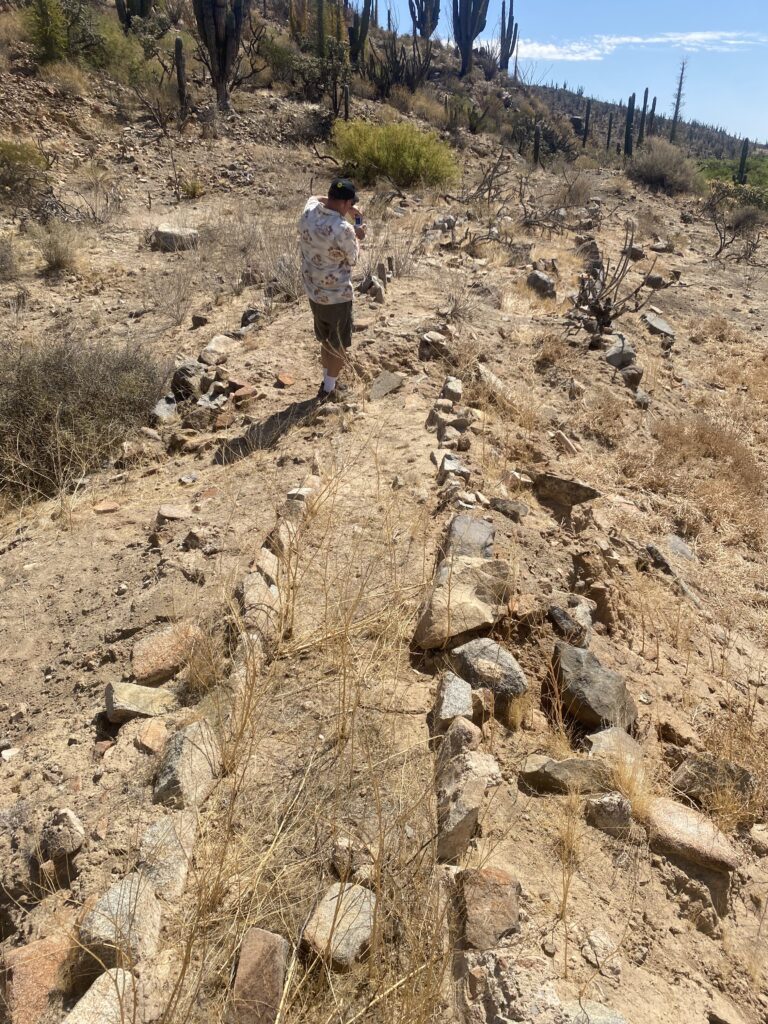
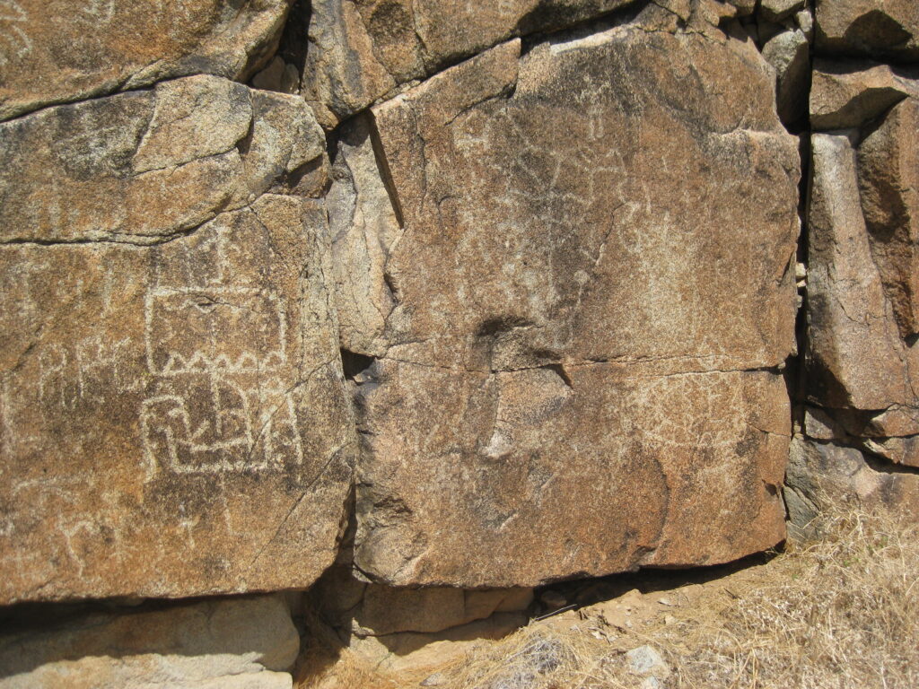
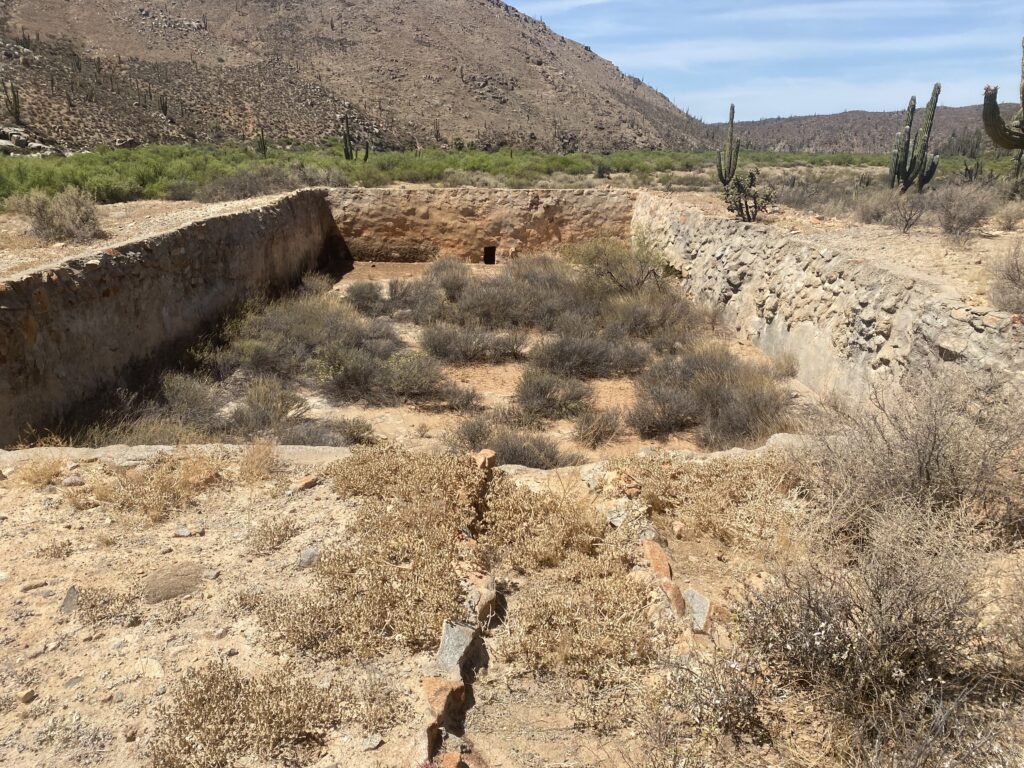
West from the mission is the aqueduct, petroglyph cliff, and reservoir (pila):
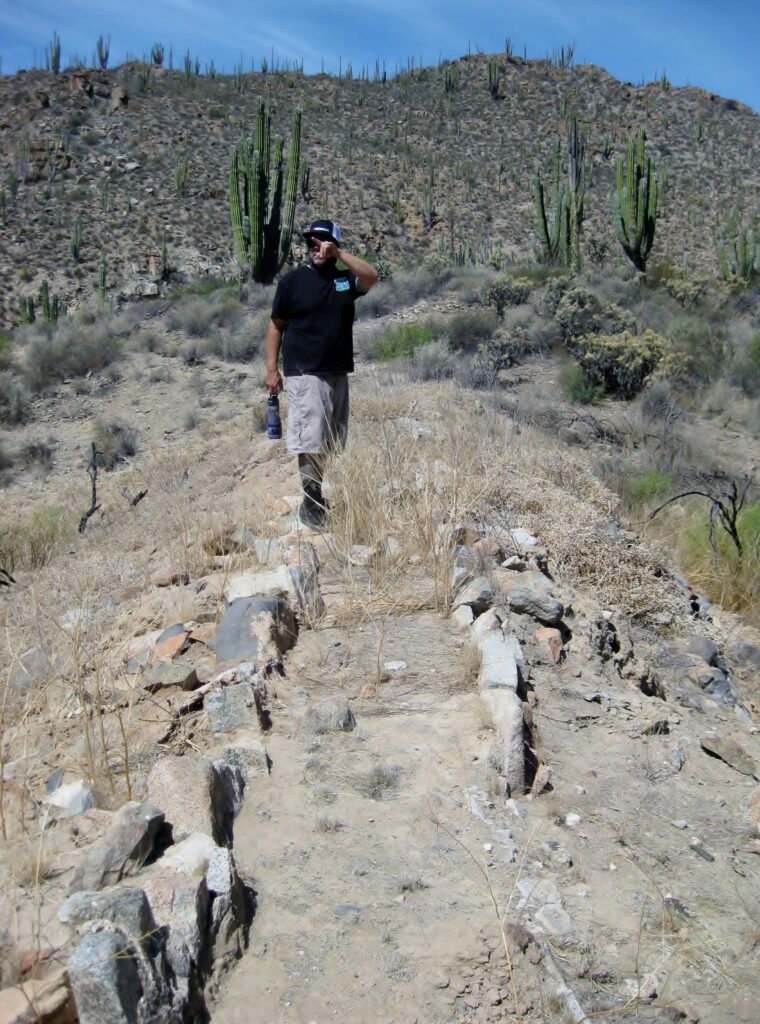
2019 Photos with Scott Wolter of America Unearthed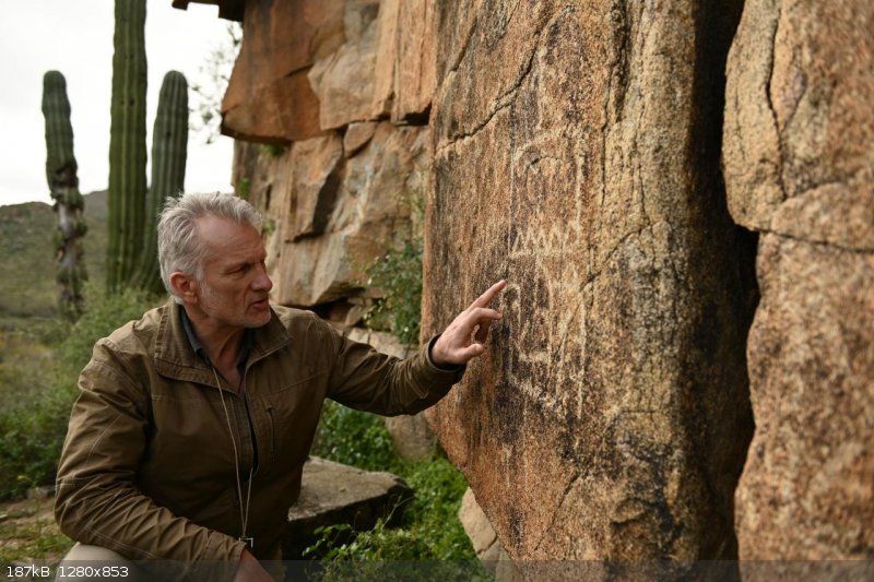

2017 Photos by David Kier


1 mile west and south, down the arroyo, and past the petroglyphs, is the mission ‘pila’ or reservoir.

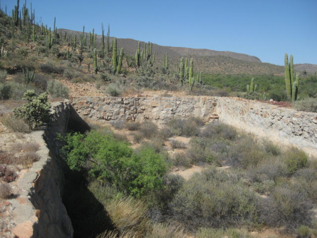
Below, two photos showing the water aqueduct that once brought water here from upstream.


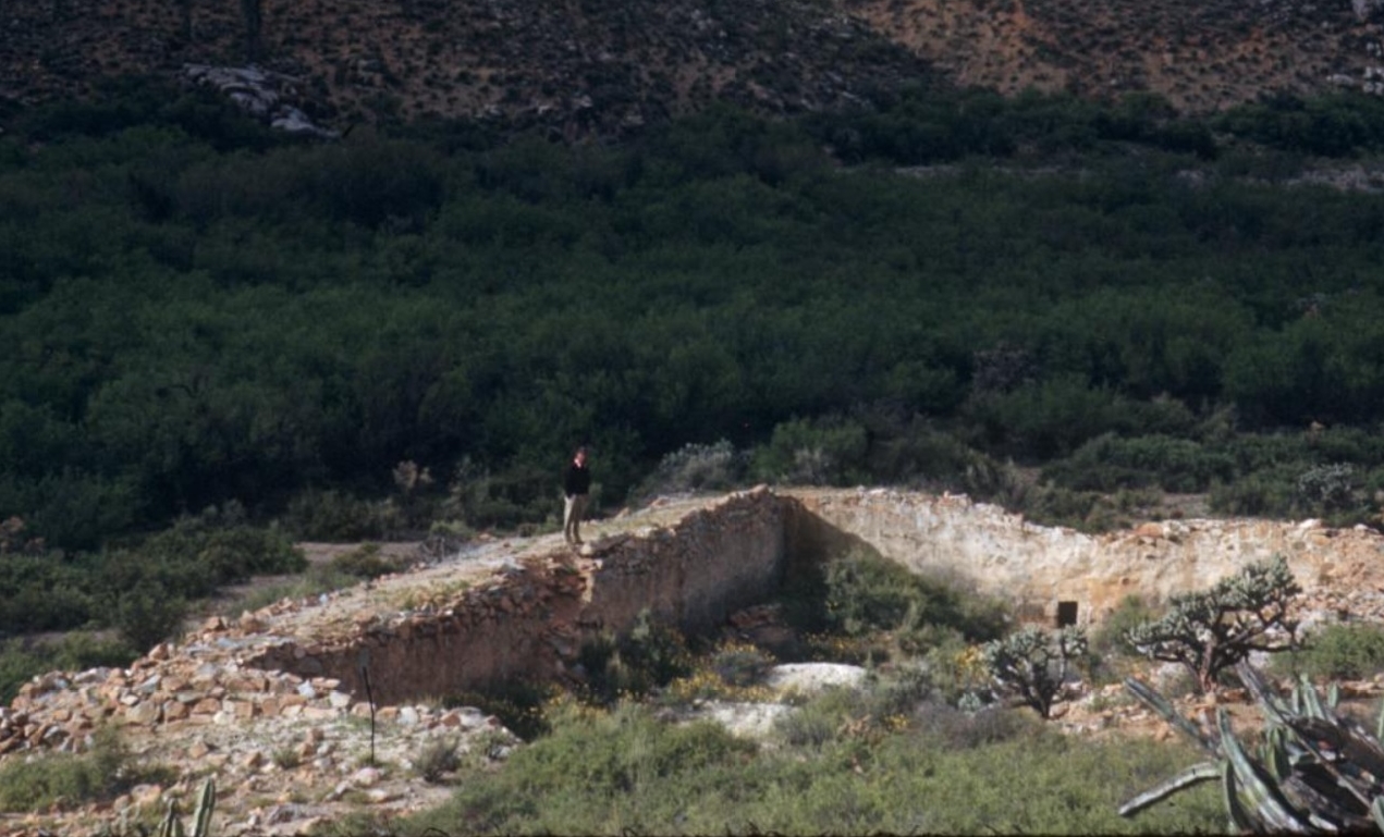
Pila in 1954 (Howard Gulick photo):
INAH Plans: reservoir and aqueduct:


Sept. 2016 Photos by David Kier

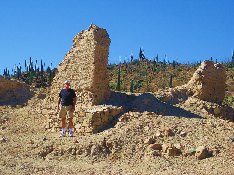
July 2016 Photos by David Kier
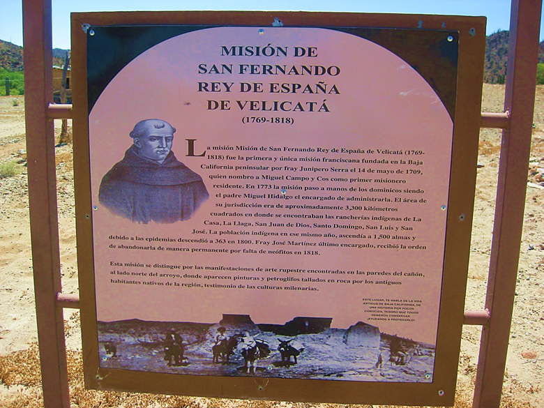
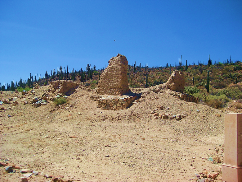
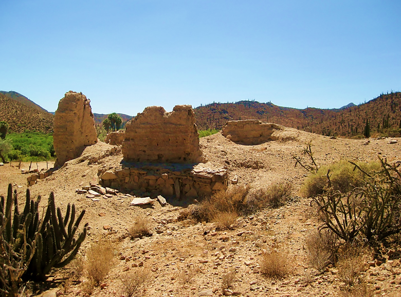
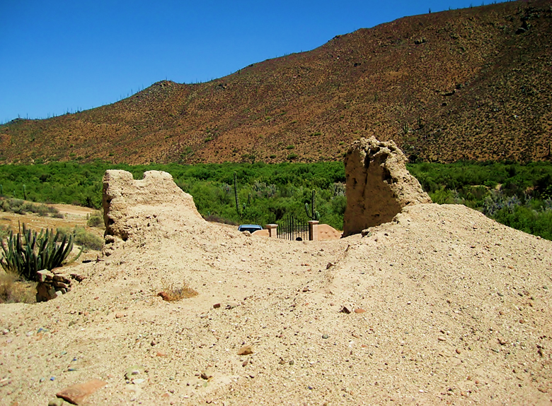
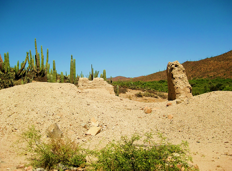
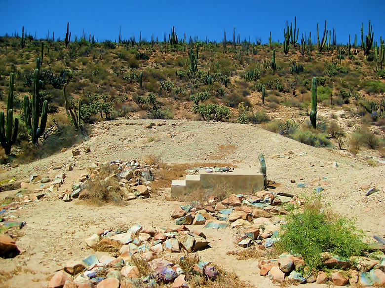
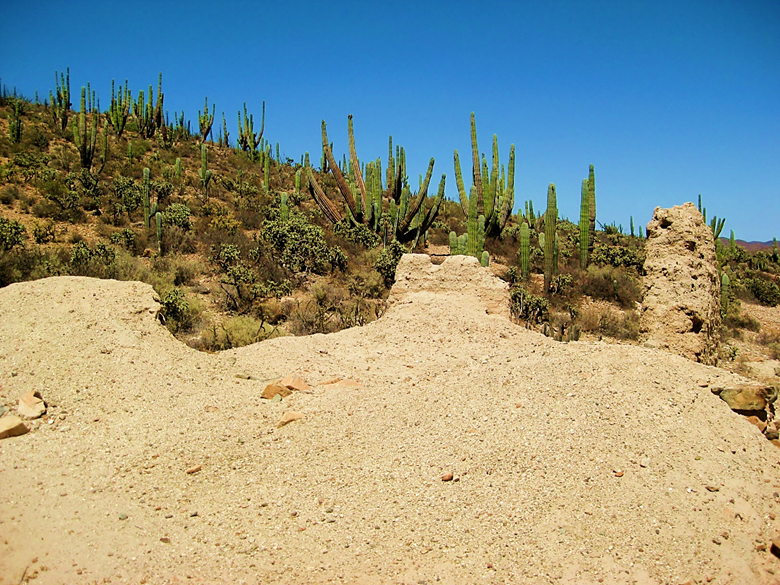
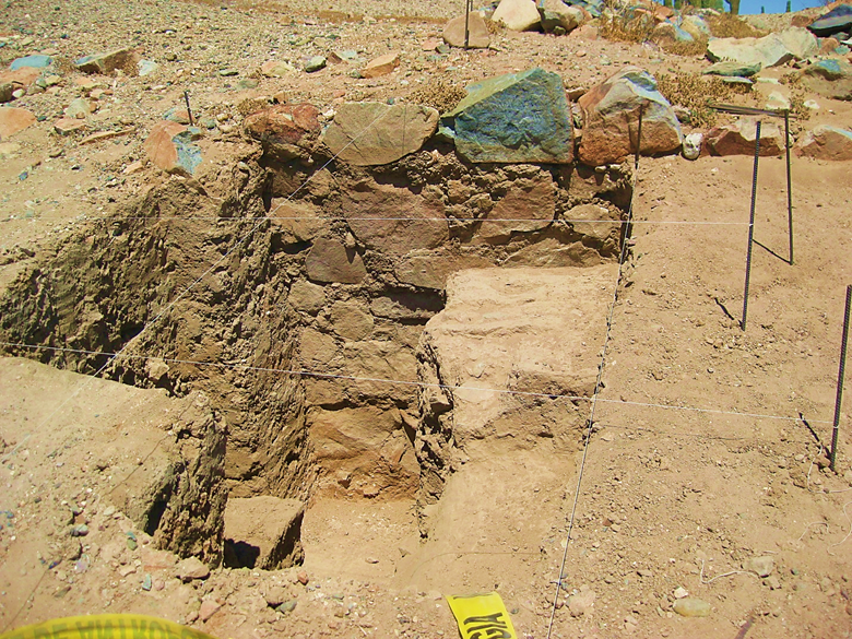
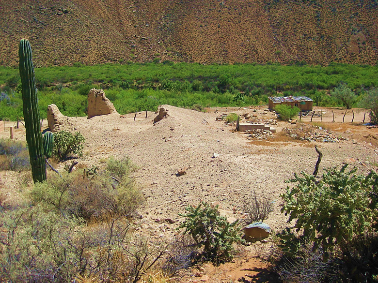
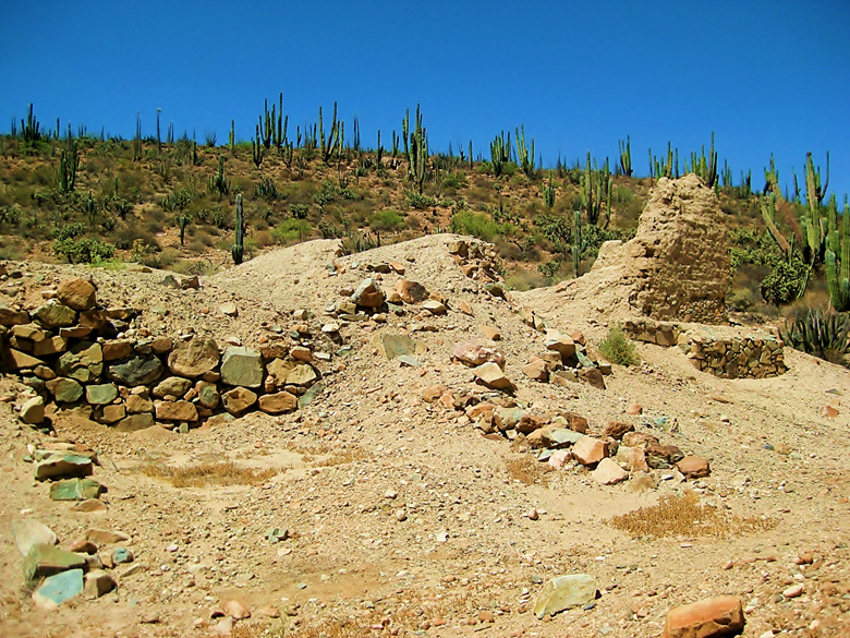
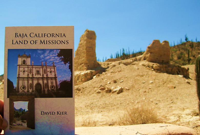
2008 Photos by Hans Bertsch
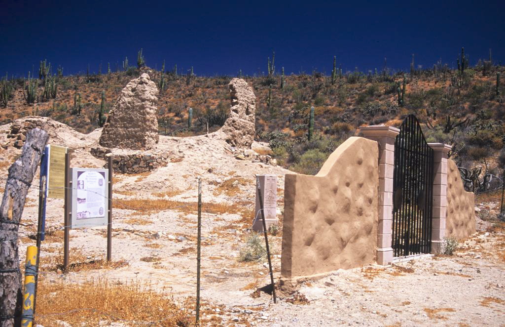
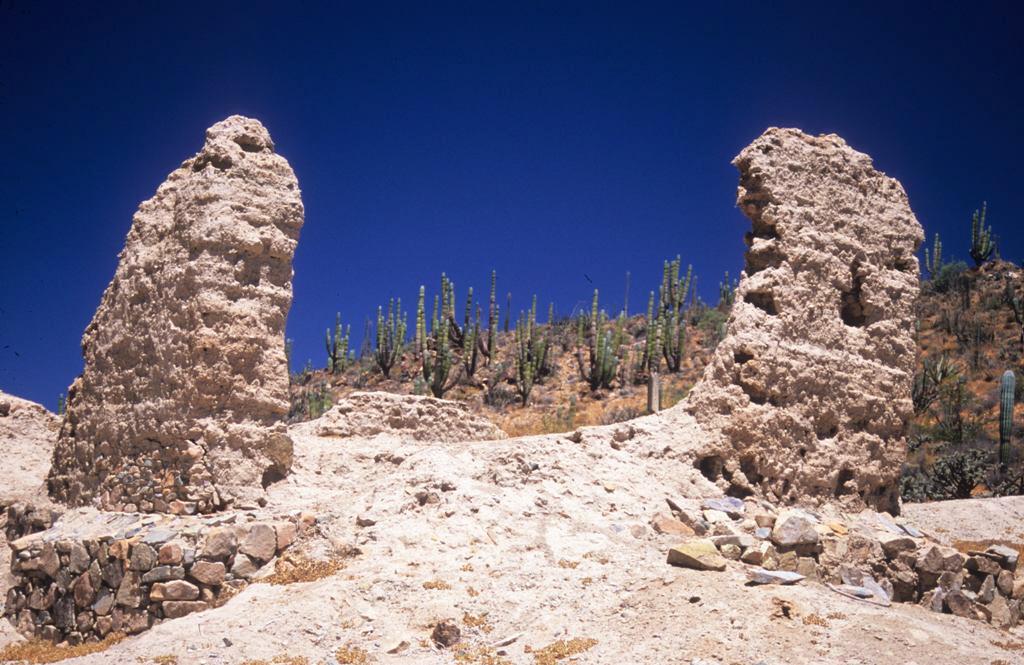
Dec. 31, 2004 Photos by David Kier


2002 Photos by Jack Swords


2000 Photo by David Kier

1987 Photos by Hans Bertsch
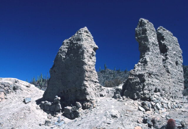
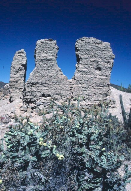
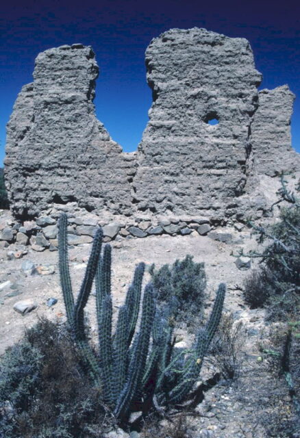
1981 Photos by Hans Bertsch
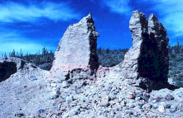
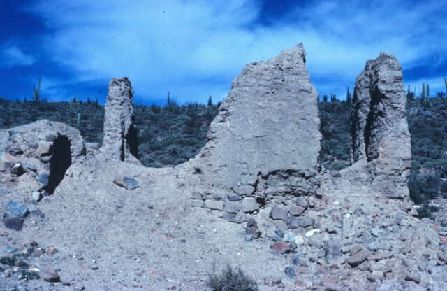
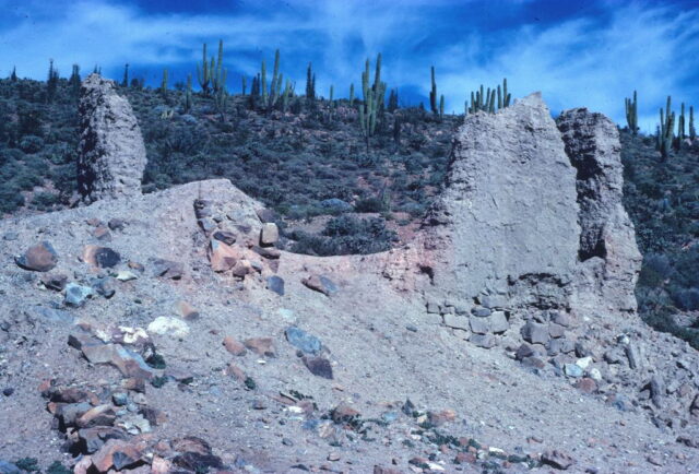
1977 Photo by Paul Ingram
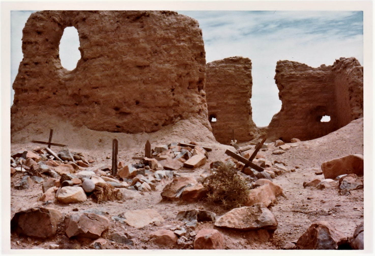
1975 Photo by David Kier (southeast side of ruins)

1974 Photo by David Kier (west side of ruins)
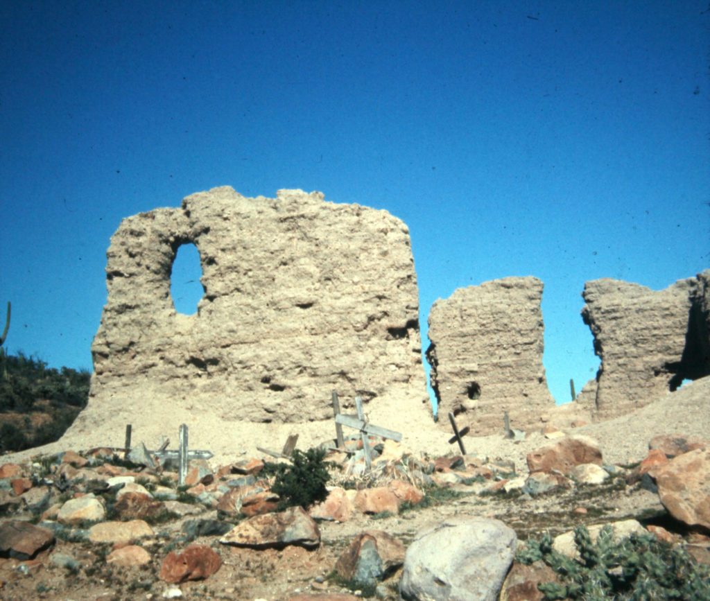

1963 photo from Michael Stewart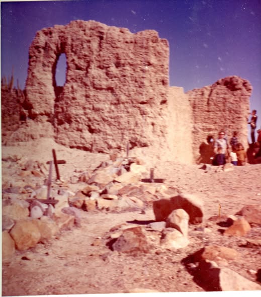
1959 photos by Howard Gulick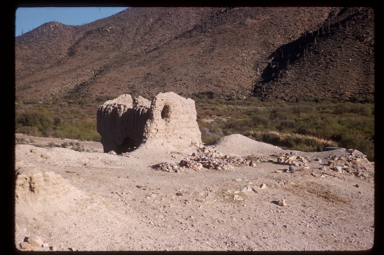
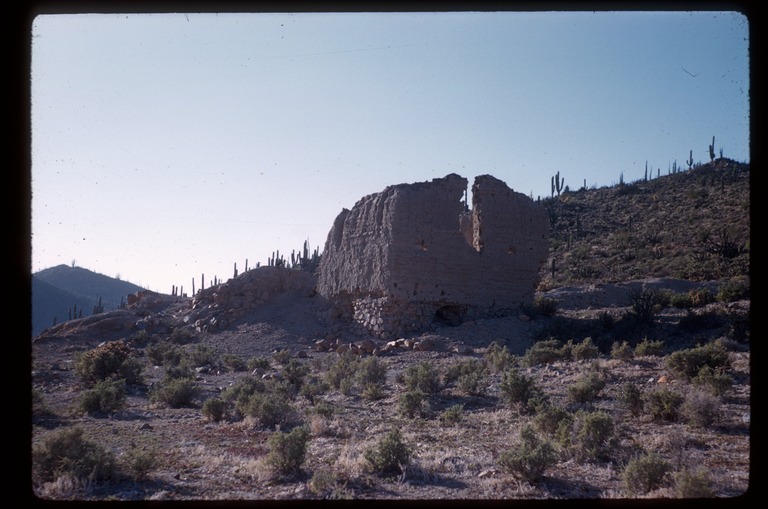
1953 photo by Howard Gulick

1949 photo from Marquis McDonald
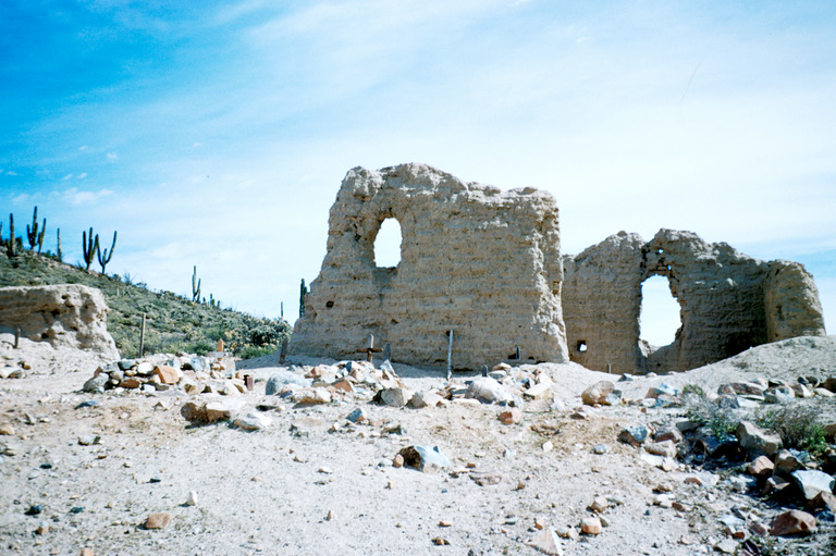
1927 photo from Internet
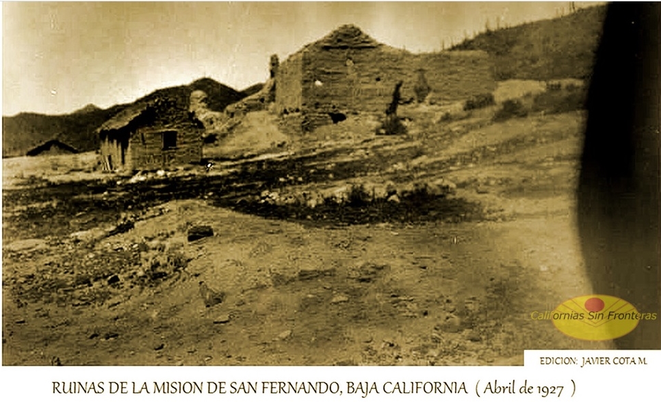
1926 photos by George Hendry/ Peveril Meigs


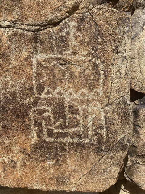
The ‘Ship’ Petroglyph comparisons
1925 photo by J P Harrington:
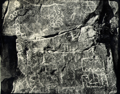
1926 photo by Peveril Meigs:
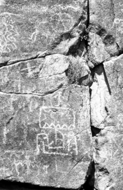
1974 and later photos by David Kier:
2004:

2017:
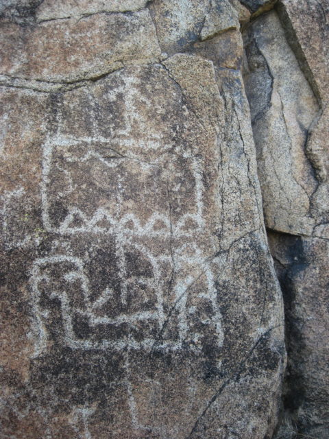
2025:
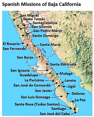
- GPS: 29.971109, -115.236434
- Directions: Highway #1, Km. 121 (south from San Quintín), 2.3 miles south and west. A cattle gate may be locked 1 mile from the mission.
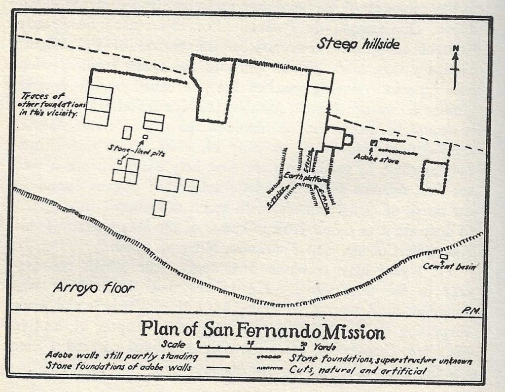
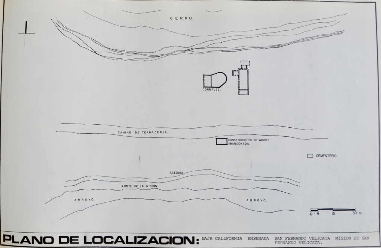
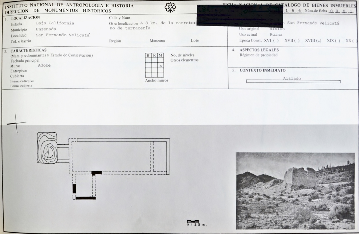
Site Plans from INAH:

I hope this was interesting or informative for you! Please be welcome to join our Baja California Land of Missions Book Group, on Facebook: HERE
- All the missions, quick look and history, north to south: HERE
- Other mission photo pages plus more Baja California history: HERE
- VivaBaja.com home page
The following chapter is from my book, Baja California Land of Missions Order your own copy from Amazon Books: HERE
#18 San Fernando de Velicatá (1769-1822)
As it had been firmly established that California was a peninsula, Spain wanted to expand north to prevent the Russians or British from claiming the land that was now proven to be contiguous to the north. Beginning in 1769, the peninsula was known as Antigua (Old) California, and the land from San Diego north was called Nueva (New) California. Later, the names changed to Baja California and Alta California. However, the two Californias did not become separate political districts until March 26, 1804.
The next California mission site beyond Santa María was called Velicatá by the Cochimí natives and was discovered on March 5, 1766, by the Jesuit missionary Padre Wenceslaus Linck while exploring for new mission locations. Velicatá was ideal with plenty of good water and friendly Indians to baptize. Before the Jesuits could establish a mission there, they were removed from the New World by orders of Spain’s King Carlos III. The sixteen Jesuits in California left in February 1768 and were replaced by the Franciscans, who arrived two months later.
The Franciscans were under the authority of the Spanish government and without the special conditions that the Jesuits had arranged. The Franciscans, and the Dominicans who followed, seemed less interested in native language skills. They also did not allow the Indians as much freedom to move about as had the Jesuits.
During his trek north from Loreto to establish missions in Alta California, Junípero Serra founded his first California mission at Velicatá. This was on May 14, 1769, and Serra named the new mission San Fernando. This was the first California mission founded by the Franciscan Order, and it was also the only mission founded by Franciscans on the peninsula. As Serra was to continue north to San Diego, he placed Padre Miguel de la Campa y Cos in charge of the new mission, who baptized some 390 Indians. Livestock and farming were productive thanks to the construction of a dam and irrigation canals. In February 1772, Padres Antonio Linares and Vicente Fuster relieved Campo y Cos at San Fernando.
On recognizing the potential of Alta California, the Franciscans relented to the Dominican’s request to share mission duties in California. The Dominicans were to operate all the active missions founded by the Jesuits plus the one Franciscan mission founded at Velicatá (San Fernando). They were also to establish five new missions between San Fernando and San Diego.
After just five years, the Franciscans handed over Mission San Fernando and the other thirteen active Baja California missions to the Dominicans. This was indeed far more than the Dominicans had bargained for, and only later did they discover why the Franciscans so readily gave up the peninsula missions. The southern peninsula missions were in decline. Epidemics and a total disruption of Native Californian life had doomed their future.
In July 1773, San Fernando was transferred to the Dominicans. The mission had a church and a priest’s dwelling both made of adobe and covered with tules (reeds). The new Dominican priest assigned to San Fernando was Miguel Hidalgo and he was assisted by Padre Pedro Gandiága. Gandiága served San Fernando mission for the next seventeen years. Friction arose between the Franciscans and Dominicans at San Fernando when the Franciscans insisted on taking the Baja California mission possessions with them to Alta California, including food that the Dominicans needed to feed the neophytes there at San Fernando.
Between 1774 and 1775, 500 natives were baptized by Padres Hidalgo and Gandiága. In 1775, the mission of Santa María was closed, and its neophytes transferred to San Fernando, increasing San Fernando’s population to 1,406. In the next seven years, the population of San Fernando mission dropped to 642 as epidemics took their toll. The 1782 mission livestock report shows that it had 110 head of cattle, 178 sheep, 65 goats, and 31 mules and horses. The mission farm produced 615 bushels of wheat, 685 bushels of corn, and 178 bushels of barley. A small amount of cotton was also grown.
Many other Dominicans also served at San Fernando over the following years. The mission books have survived into modern times and many details were saved.
The adobe church building was about eighty-five feet by sixteen feet when reported in 1793. In 1798, an additional adobe building measuring forty-five feet by twenty feet was erected for storage.
Padre Antonio Lázaro served from March 1799 to December 1804 and in those five years baptized only thirty-two native Indians. The mortality rate from smallpox, measles, syphilis, and the “European style of living” for the Cochimí natives far outpaced their birth rate. Antonio Lázaro was replaced by Padre Manuel del Aguila (1804-1806). Padre Aguila had seen a neophyte population of 295 dwindle to 201 in his two years. By 1814 fewer than one-hundred native converts were counted as residing at or near San Fernando.
Entries into the record book were made by several other priests between the years 1808 and 1825. The exact date of abandonment is not clear, but we can determine from the book of records that the final marriage was on October 3, 1814, by Padre Bernardo Solá. The final baptism entry was on June 21, 1818, by Padre José Martín. The final death notice was entered into the mission book on October 19, 1821, by Padre Francisco Troncoso. The last entry in San Fernando’s book of records was on May 16, 1825, for the visitation of Padres Domingo Luna and Félix Caballero.
A visita of San Fernando was located fifteen miles north, at San Juan de Dios. In 2006, a farmer clearing and plowing the desert destroyed the adobe ruins at San Juan de Dios. This happened despite its being a historic site documented by INAH. In 2017, some of the ruins had been uncovered. San Juan de Dios is twenty-two unpaved miles northeast of Highway One, leaving the highway near Km 103. See the photo from 2000 on page 204.
Mission San Fernando is reached just over two miles west from Highway One at the junction to El Progreso, Km 121. The dirt road is passable to most vehicles. El Progreso is thirty-nine miles from El Rosario’s gas station (Km 57). In 2018, a locked gate was placed halfway to the mission site on the dirt road.
Missionaries recorded at San Fernando:
Franciscan
Junípero Serra May 14, 1769
Miguél de la Campa y Cos 1769-1773
Antonio Linares 1771
Vicente Fuster 1771-1773
Dominican
Miguel Hidalgo (to 1777) and Pedro Gandiága (to 1790) May 15, 1773
Francisco Galistéo 1773-1774
Manuel García 1775
Manuel Pérez 1775, 1778, 1780, and 1782
José Díez Bustamante 1778
Antonio Luésma 1782-1783
Juan Antonio Formoso 1785-1788
Pedro de Acebedo (Azevedo) 1788-1789
Miguel Abád 1789
Tomás Marín 1789
Jórge Coéllo 1790-1795
Mariano Apolinário 1795
Rafaél Arviña 1796-1799
Vicente Belda 1797-1798
José Caulas 1797-1798
Jaime Codina 1798
Antonio Lázaro 1799-1804
Segismundo Fontcubierta 1800 and 1802
Pedro González 1804
José Portela 1804
Manuel de Aguila 1804-1806
José Duro 1807-1808
Ramón de Santos 1808-1813
Bernardo Solá 1811-1814
Tomás de Ahumada 1815
Antonio Menéndez 1815 and 1822-1825 (from San Vicente)
José Martín 1816-1818
Francisco Troncoso 1819-1822 (from El Rosario)
See the other mission pages: https://vivabaja.com/baja-mission-albums/