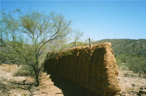
As are the missions themselves, many visitas are in danger of being lost to careless acts or apathy such as these ruins at San Juan de Dios destroyed by a farmer in 2006, 3 years after this photo was taken by Jack Swords (copyright).
Baja California Mission Visitas
Visitas (also known as ‘estancias’) were visiting stations of the ‘cabecera’ or primary mission. They had a church, inhabitants, and operated the same as a mission, but without a resident priest.
A mission was located at a source of water, often at an existing native Indian village (‘rancheria’) and had a limit on the population it could support. Visitas were located at other water sources and rancherias, where additional food could be raised to support the entire mission territory. The mission priest would visit these outposts and perform his duties, as needed.
Long after the mission system ended, some locals (and authors) believed many visita ruins were missions. Some Baja books still name visitas as mission sites. For a complete listing and details of the 27 missions of Baja California founded from 1697 to 1834, see the Baja mission web pages in the links, below.
Featured Mission Visitas:
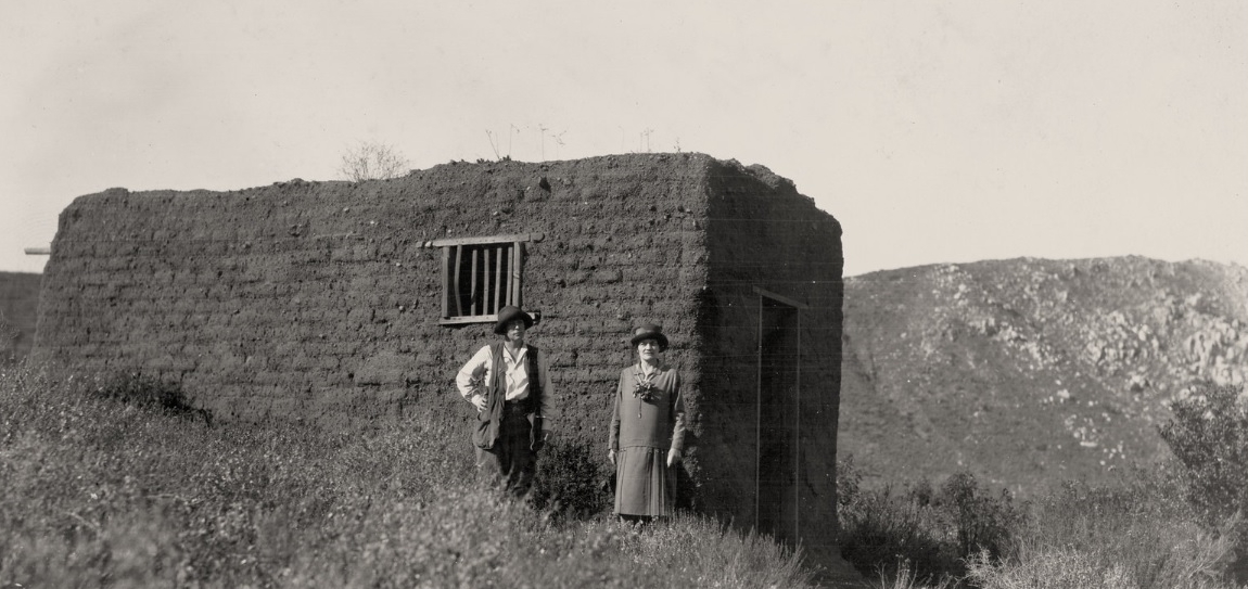
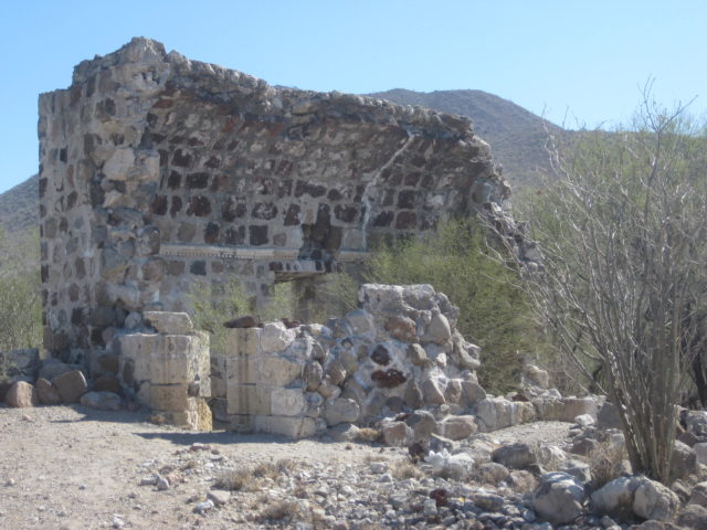
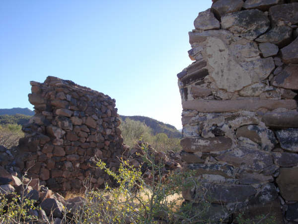
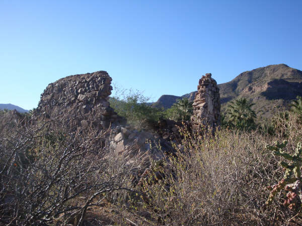
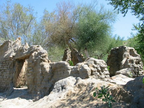
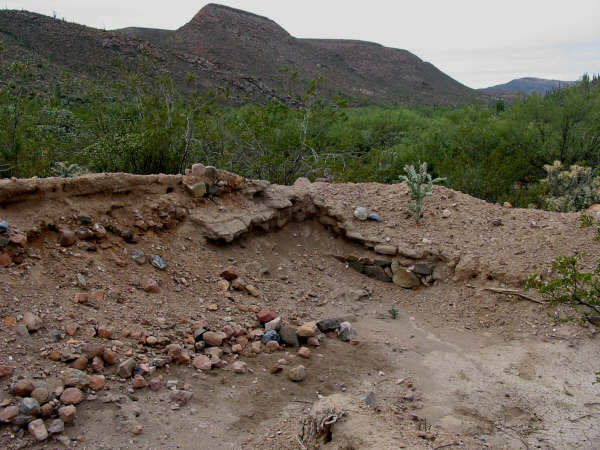
San Juan Bautista Londó 26°13’30.8″ -111°28’24.5″
2009 photo by Amy M. of this visita of the Loreto mission. Located just west of Hwy. 1, Km. 30, north of Loreto.
2001 photo by David Kier
1955 photo by Howard Gulick
Former west side doorway, 1955.
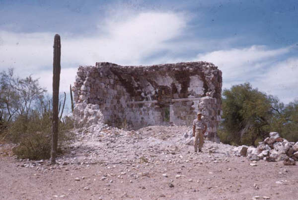
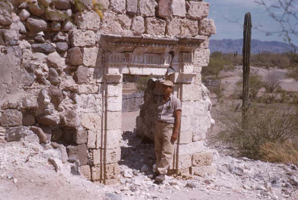
La Presentación 25°43’45.0″ -111°32’37.4″
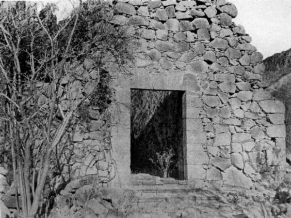
1906 photo by Arthur North of this visita of San Javier mission. Located south of San Javier, just west of the road to Santo Domingo.
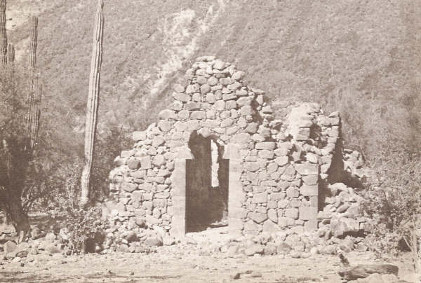
Photo by Mike McMahan (~1950)
1956 photo by Howard Gulick
1998 photo by Kevin Clough
2009 photo of the ruined, collapsed doorway by Tom H.
San José de Magdalena 27°03’40.3″ -112°13’24.9″ (old church ruin, not a mission visita)
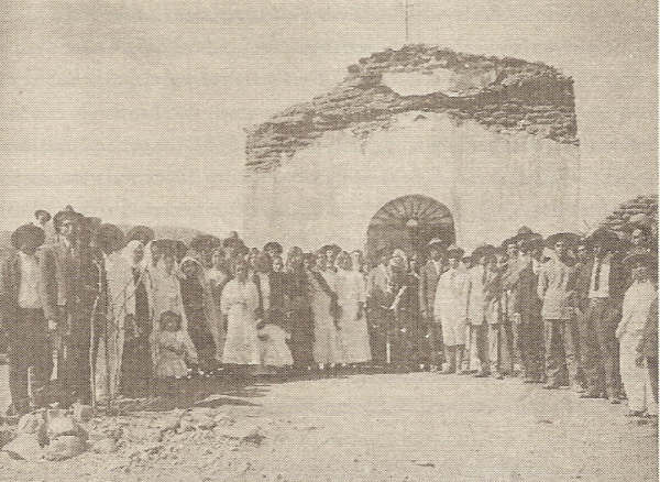
Some called it a visita of the mission of Mulegé, located in an oasis canyon. Photo from 1905 appears in Dave Werschkul’s 2003 book ‘Saints and Demons in a Desert Wilderness’.
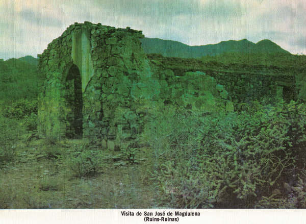
Photo from Michael Mathes’ 1977 book ‘The Mission of Baja California 1683-1849‘
1998 photo by Kevin Clough at San Jose de Magdalena. Evidence indicates this was an old church built in the 1800s, but not a mission visita.
An extensive aqueduct brought water several miles from the canyon out to the desert where the Dominicans had a reservoir (pila) and some buildings. Photo by Kevin Clough
La Magdalena, not ‘Santa María de Magdalena’
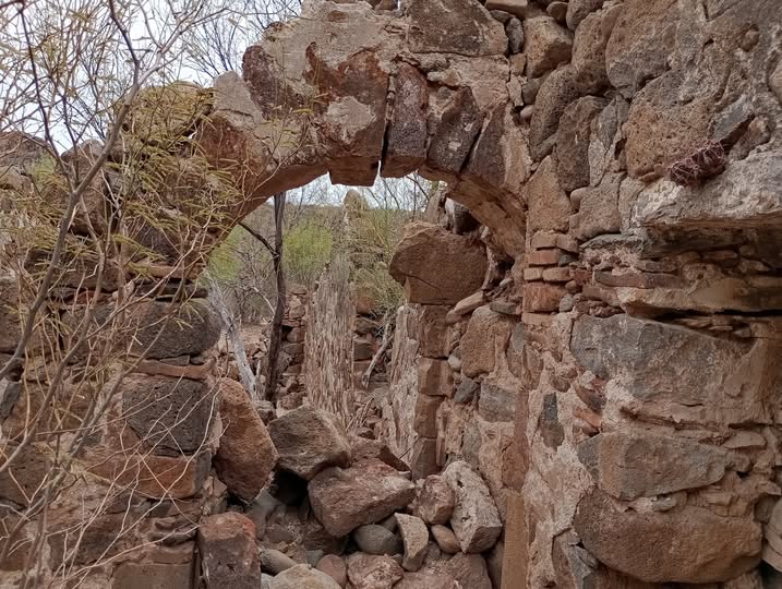
2009 photo of David Kier at one of the many ruined buildings that some historians identify as the Magdalena Dominican visita, and others as a Jesuit mission. GPS: 27°03’29.9″ -112°10’07.4″. Flash floods in 2014 destroyed this site.

The mission-era reservoir (pila) at the end of the aqueduct (acequia) is located in the desert outside the San Jose de Magdalena canyon. GPS: 27°03’29.1″ -112°10’12.3″
Ruins of some buildings by this pila had been misidentified by several Baja book authors and cartographers as the Jesuit mission of Santa María Magdalena.
Arthur North (in 1906) camped here and heard the name ‘Magdalena’ applied to the site, and that’s where the mistake appears to have started. The Jesuits had planned a mission of Santa María Magdalena in the 1740’s, but much farther north, beyond San Ignacio. See http://vivabaja.com/109
El Novillo 23°55’48.6″ -110°13’28.2″
A chapel at the ranch south of La Paz, from about 1770, not a visita or mission. Photo by Jack Swords in 2001 (copyright). The doorway has since collapsed (see 2015 photo, below).
Close up of the doorway at El Novillo. Photo by Jack Swords (copyright)
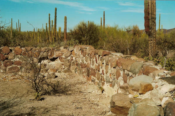
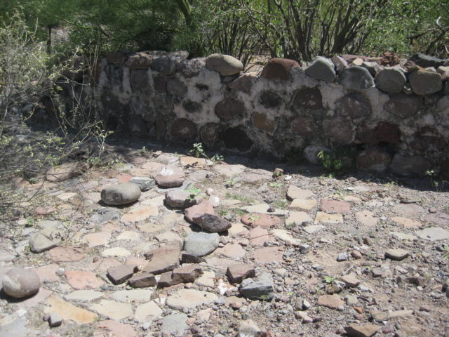
Angel de la Guarda (El Zalate) 23°53’27.6″ -110°10’14.8″
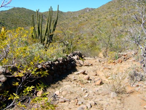
Established in 1721 as a visiting station of the La Paz mission by Padre Bravo. Located in the hills above San Blas, about 20 miles southeast of La Paz. Photo by Jack Swords in 2007 (copyright)
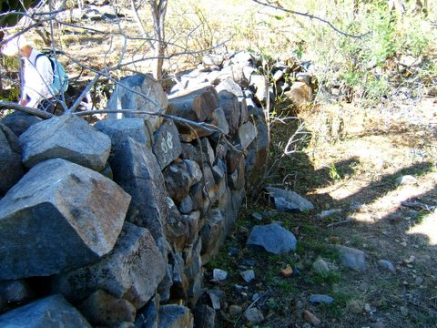
Close up of the wall at El Zalate. Photo by Jack Swords (copyright).
San Blas 23°53’10.4″ -110°09’16.2″
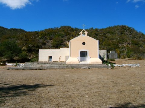
A modern church built upon ruins from the 1760’s is located at the base of the mountain, below El Zalate.
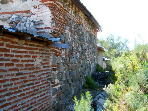
New bricks attached to the nearly 260 year old church’s stone wall, at San Blas… 20 miles southeast of La Paz.
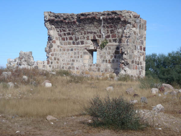
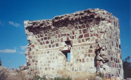
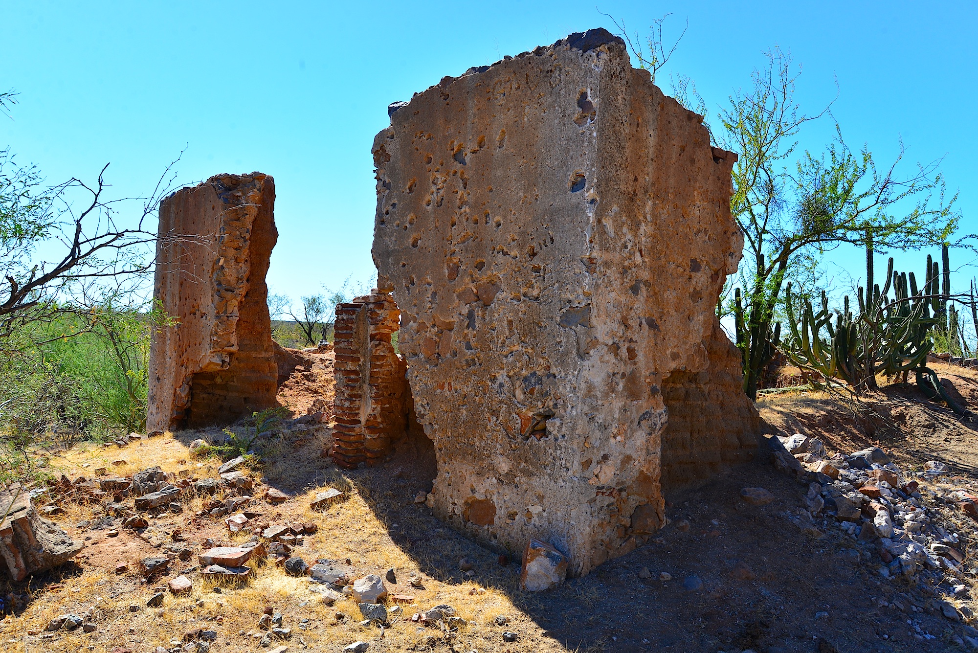
San Jacinto 23°14’32.5″N 110°04’38.6″W
Visita of the Todos Santos mission. All photos of San Jacinto ruins taken in 2005 by Jack Swords (copyright).
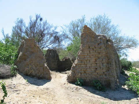
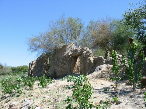
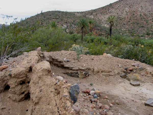
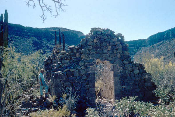
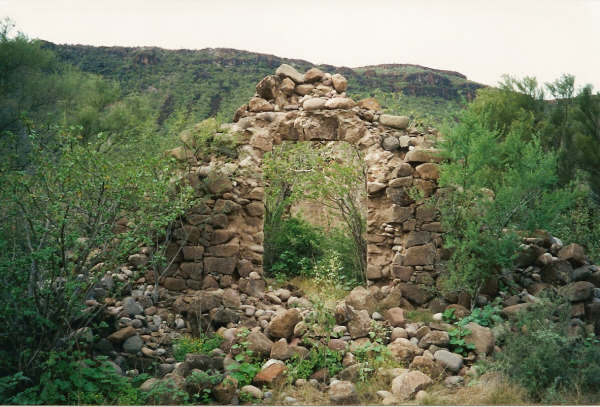
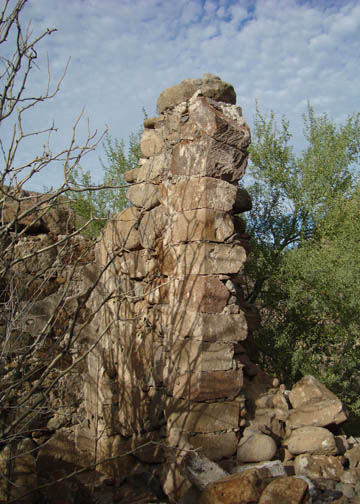
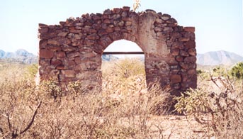
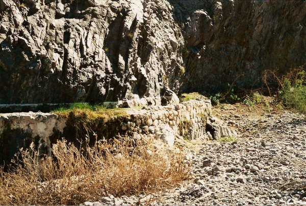
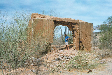
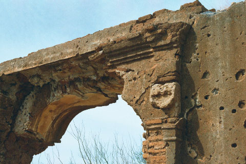
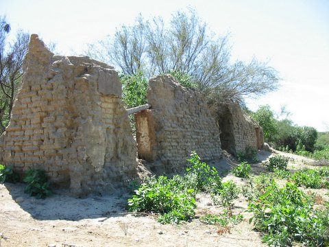
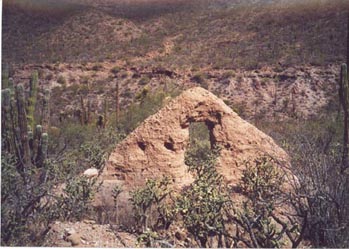
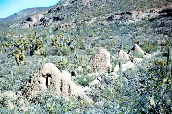
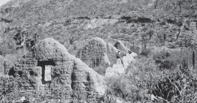
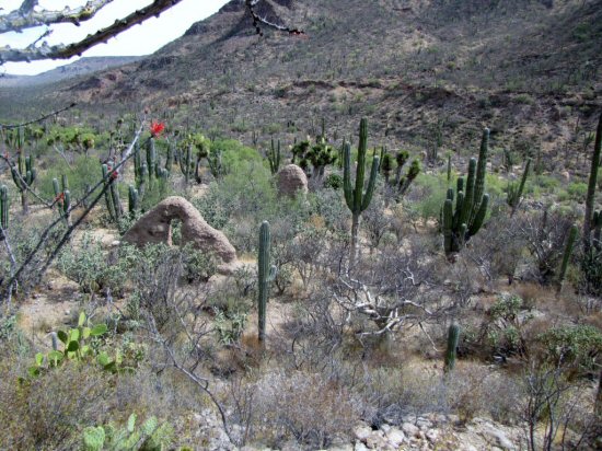
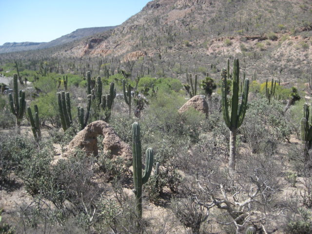
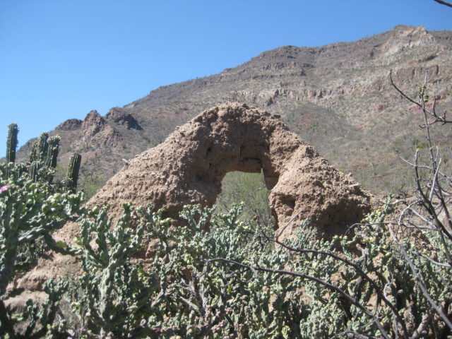
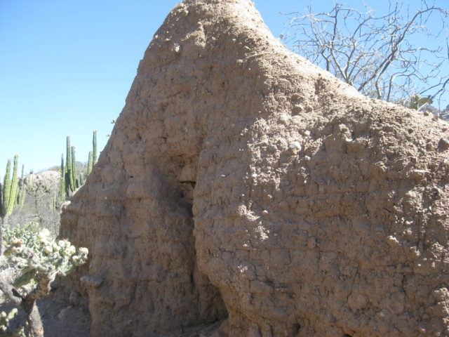
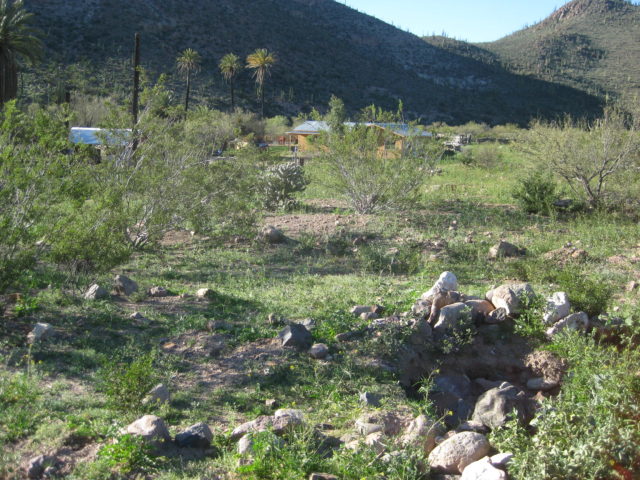
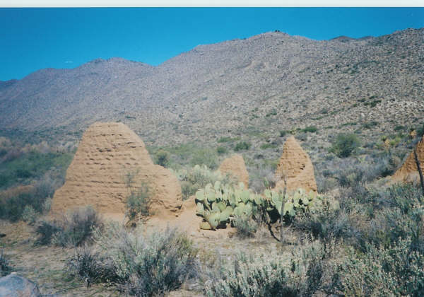
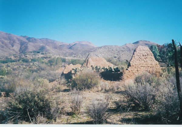
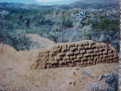
San Pablo 27°42’07.8″ -113°08’42.1″
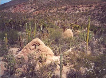
A visita of Santa Gertrudis located east of Vizcaino in San Pablo canyon, this adobe ruin is often called the lost mission of ‘Dolores del Norte’. 1999 photo by Kevin Clough
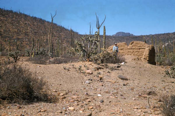
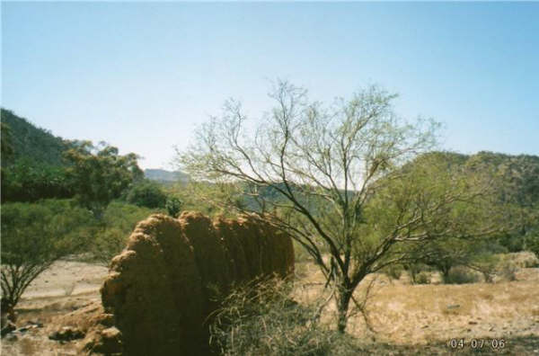
50 years earlier…
23 more years earlier…
The following two photos from Philip Lang were taken in 2010:
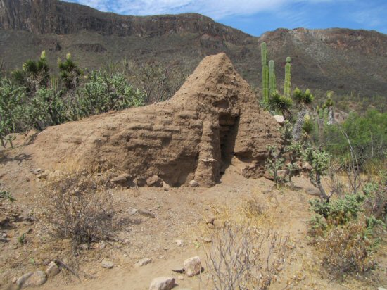
In 2019 I finally see the ruins in person (thanks to Cameron Steele and the Trail of Missions Recon Team):
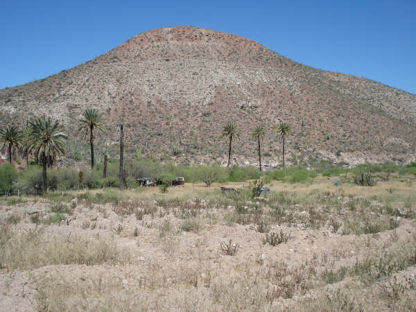
Santa Ana 28°41’25.2″ -113°49’14.3″
Santa Ana was a visita of the mission of San Borja. This is located at an oasis, 9 miles southwest of the mission. Photo above is from Howard Gulick, in 1956.
San Regis 28°35′42.5″ -113° 46′ 23.7″


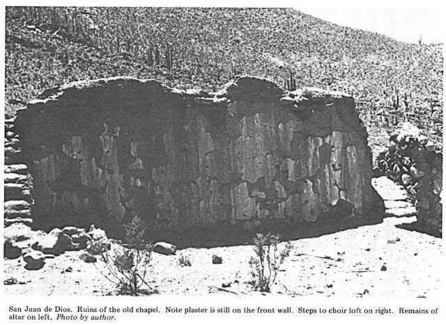
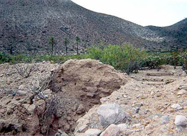
San Juan de Dios 30°10’57.6″ -115°10’04.5″
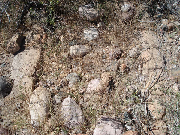
San Isidoro 30°45’55.2″ -115°32’49.8″

A visita on the mission trail between Santo Domingo and San Pedro Mártir. Following photos by Kevin Clough taken in 2005:
San Telmo 30° 58′ 4.9″ N 116° 5′ 33.6″ W (approx.)