Visitas (satellite visiting stations) of Baja California Missions:
Visitas were farms, ranches, and chapels connected to the head mission. They were not missions as they did not have a full-time priest or financial endowment. Many visitas were very productive and became missions in time or the mission they belonged to relocated to them. Some visitas were so impressive, writers called them ‘missions,’ but that was in error.
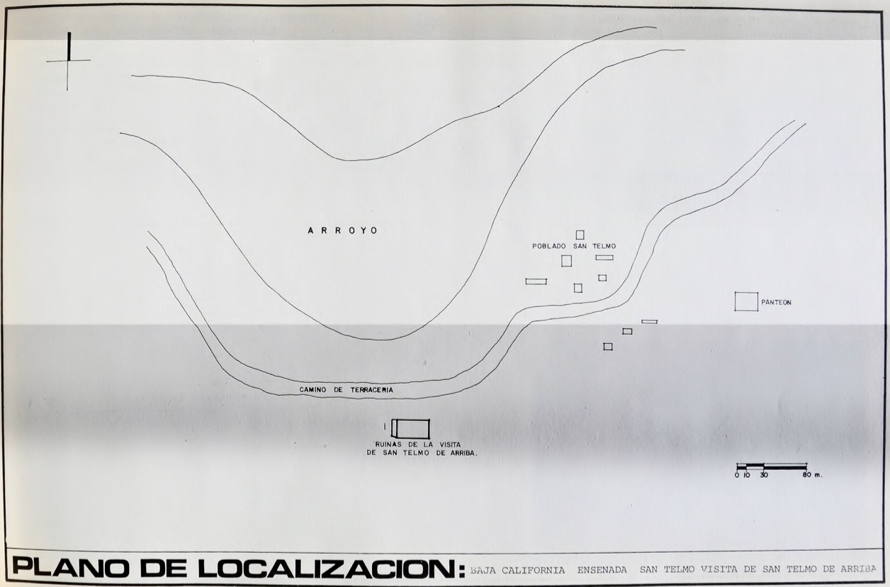
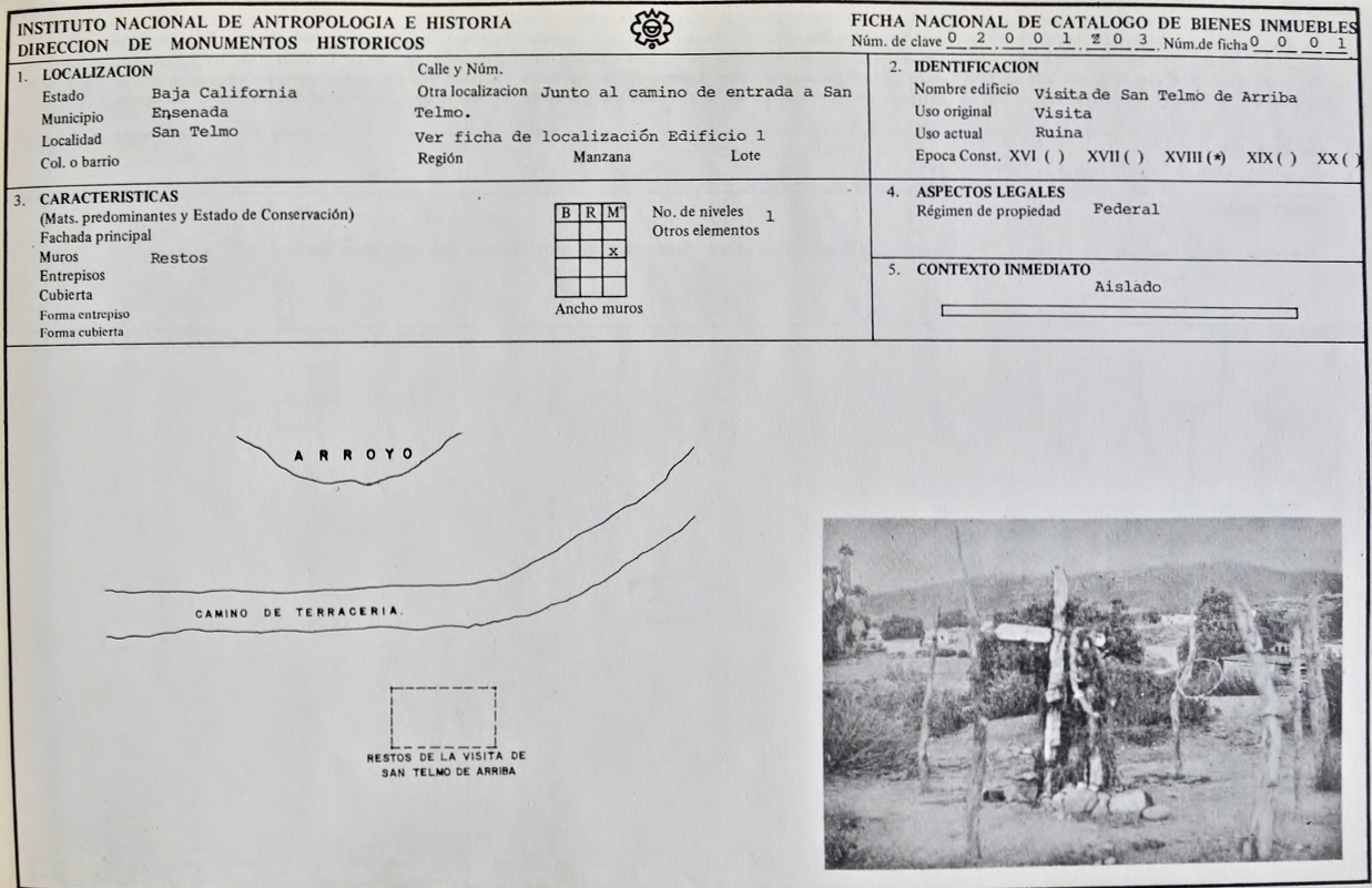
Visita de San Telmo (attached to Mission Santo Domingo)
30° 58′ 4.9″ N 116° 5′ 33.6″ W (approx.)


Visita de San Isidoro (attached to Mission San Pedro Mártir)
30°45’55.2″ -115°32’49.8″

2005 photos by Kevin Clough

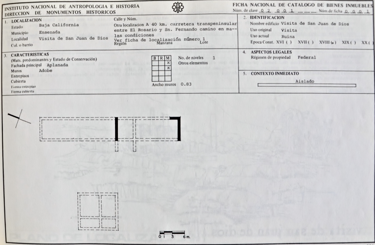
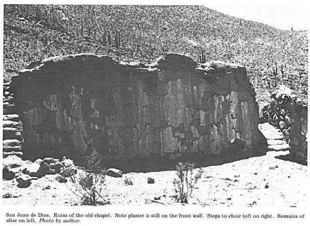
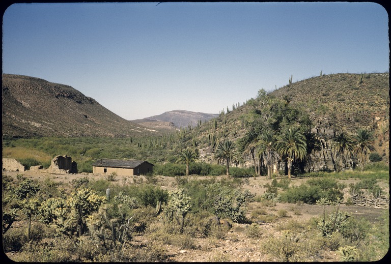
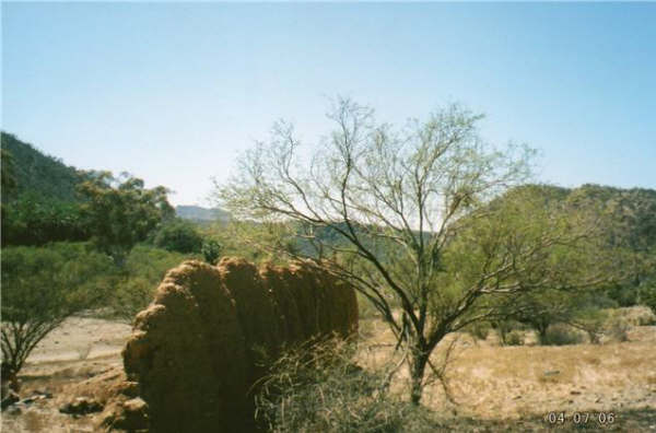
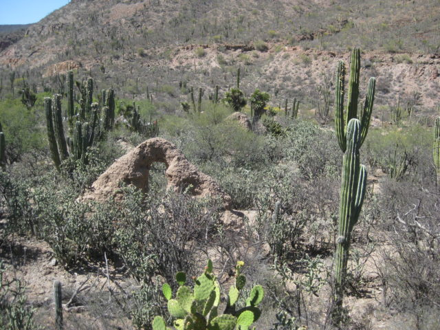
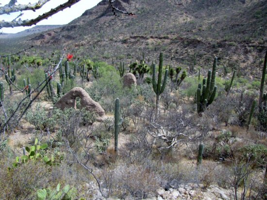
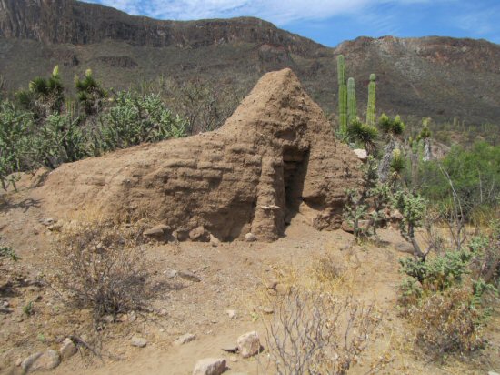
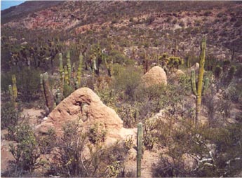
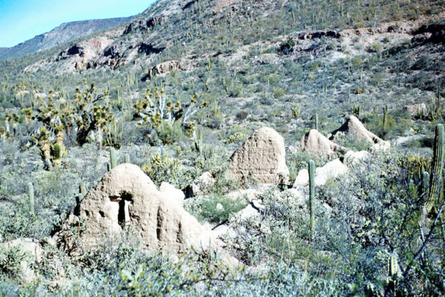
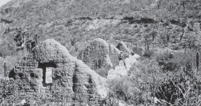
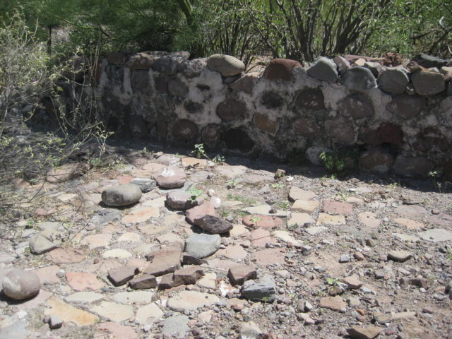
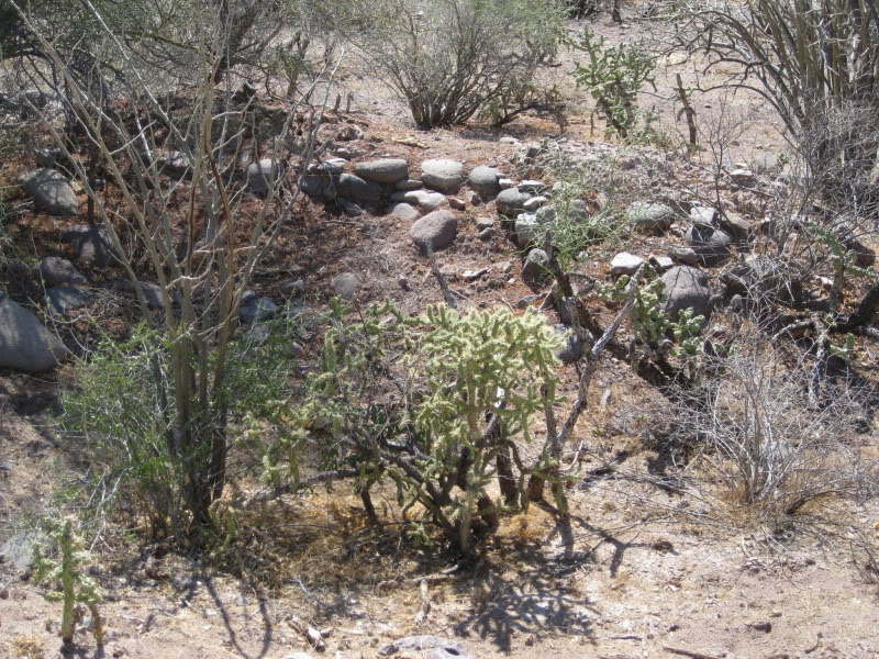
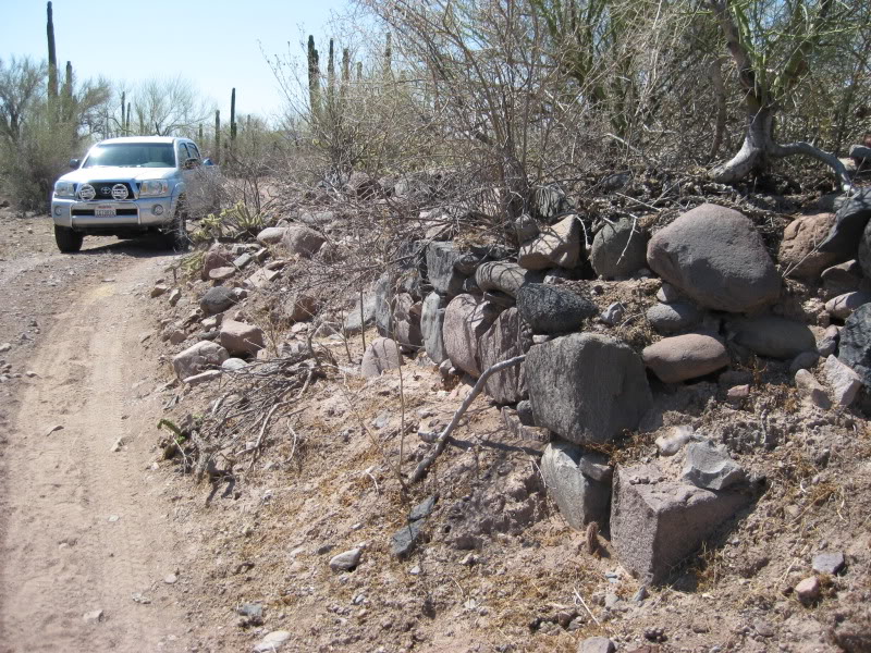
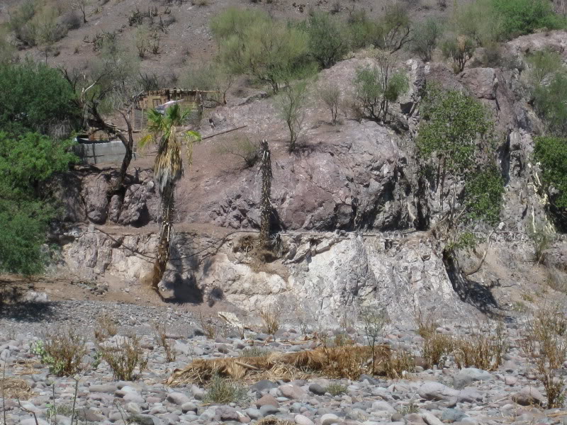
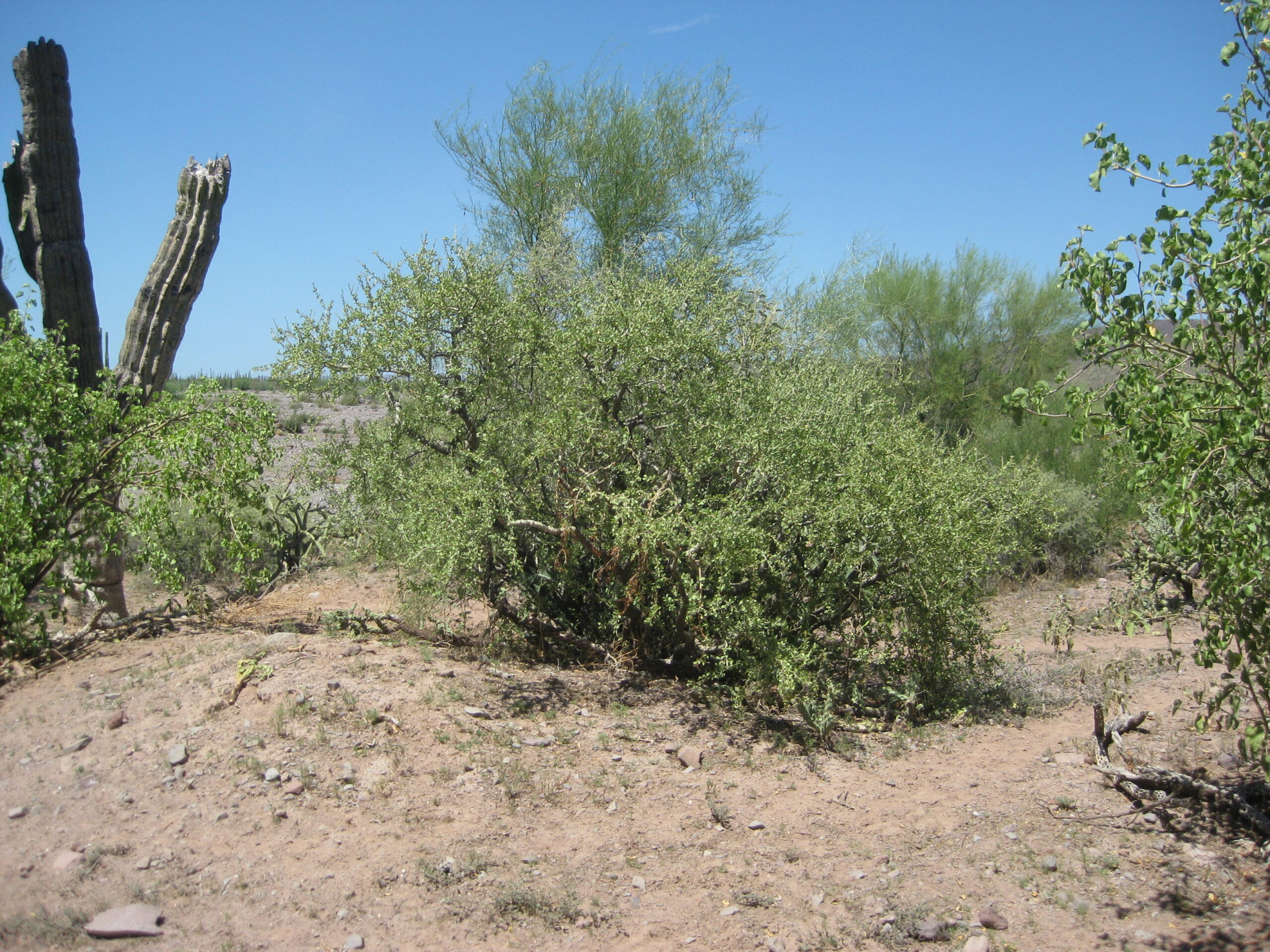
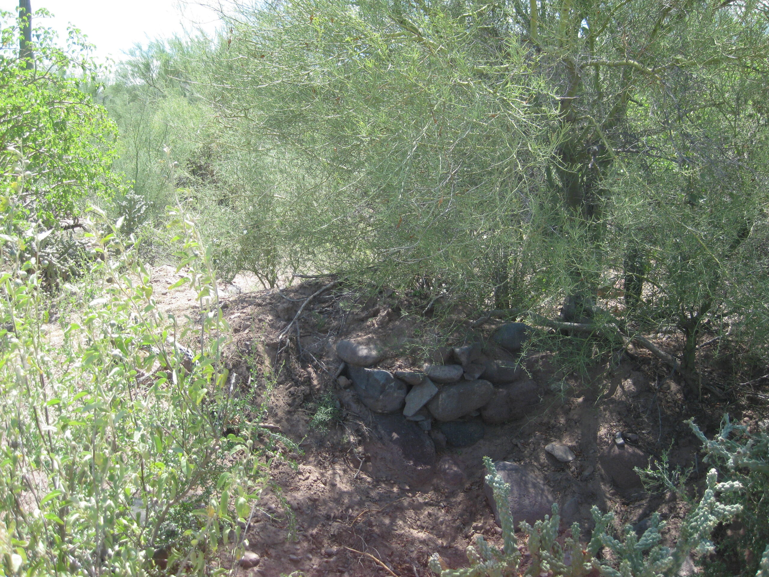
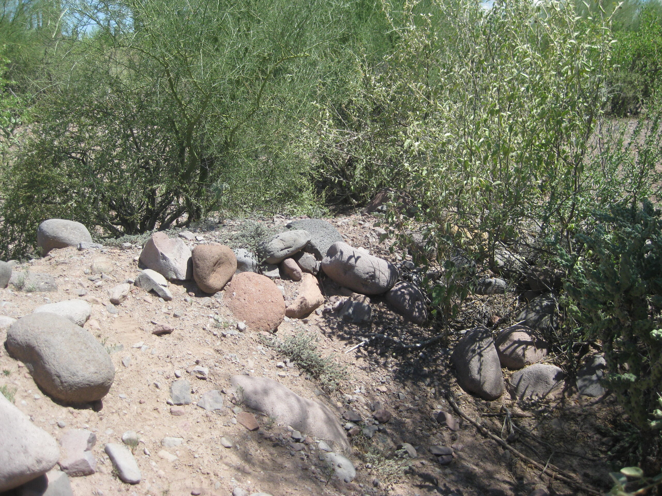
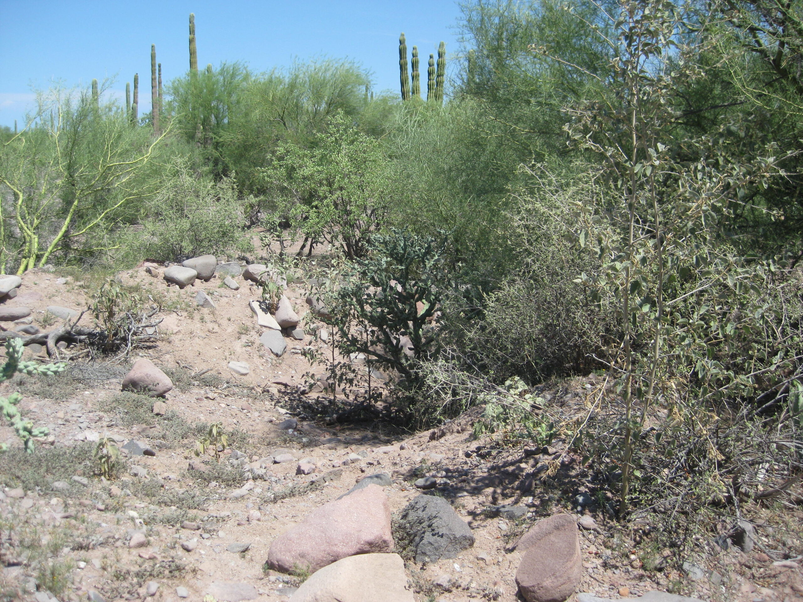
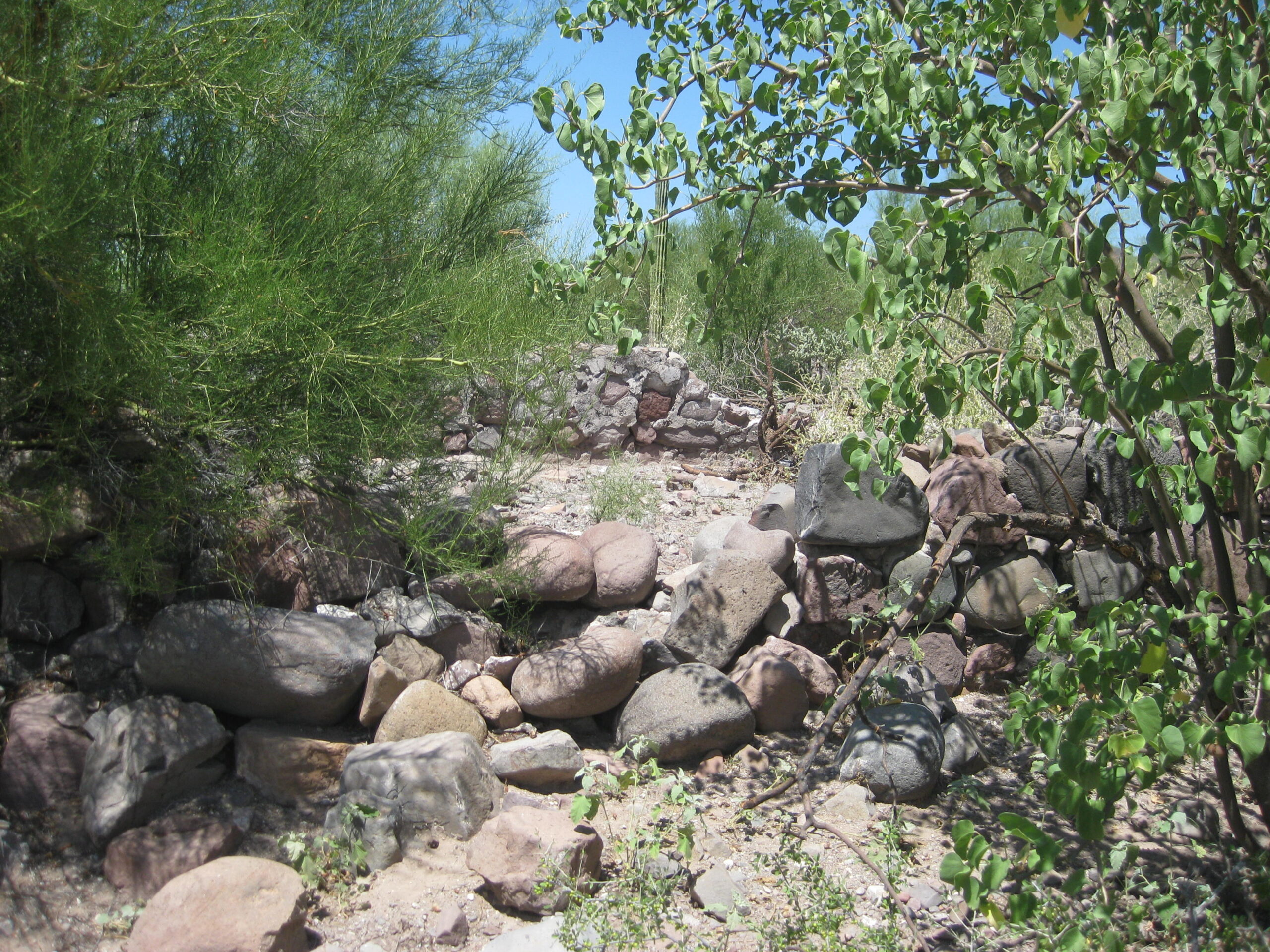
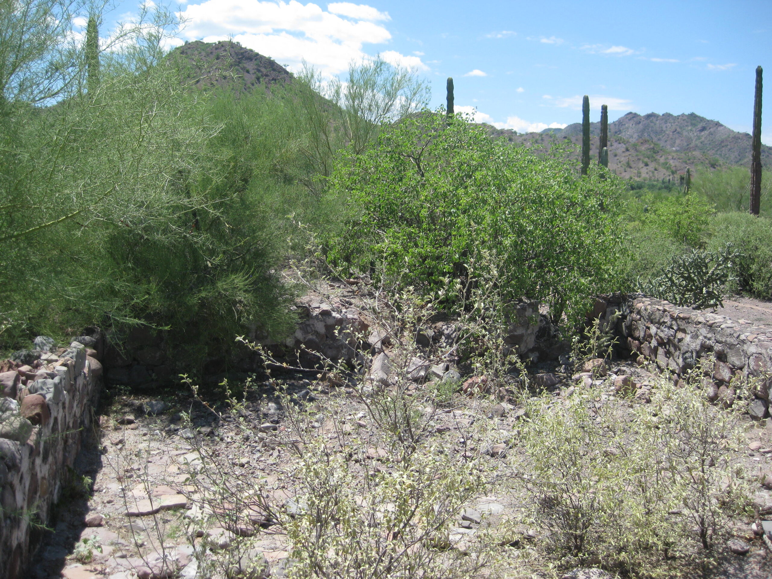
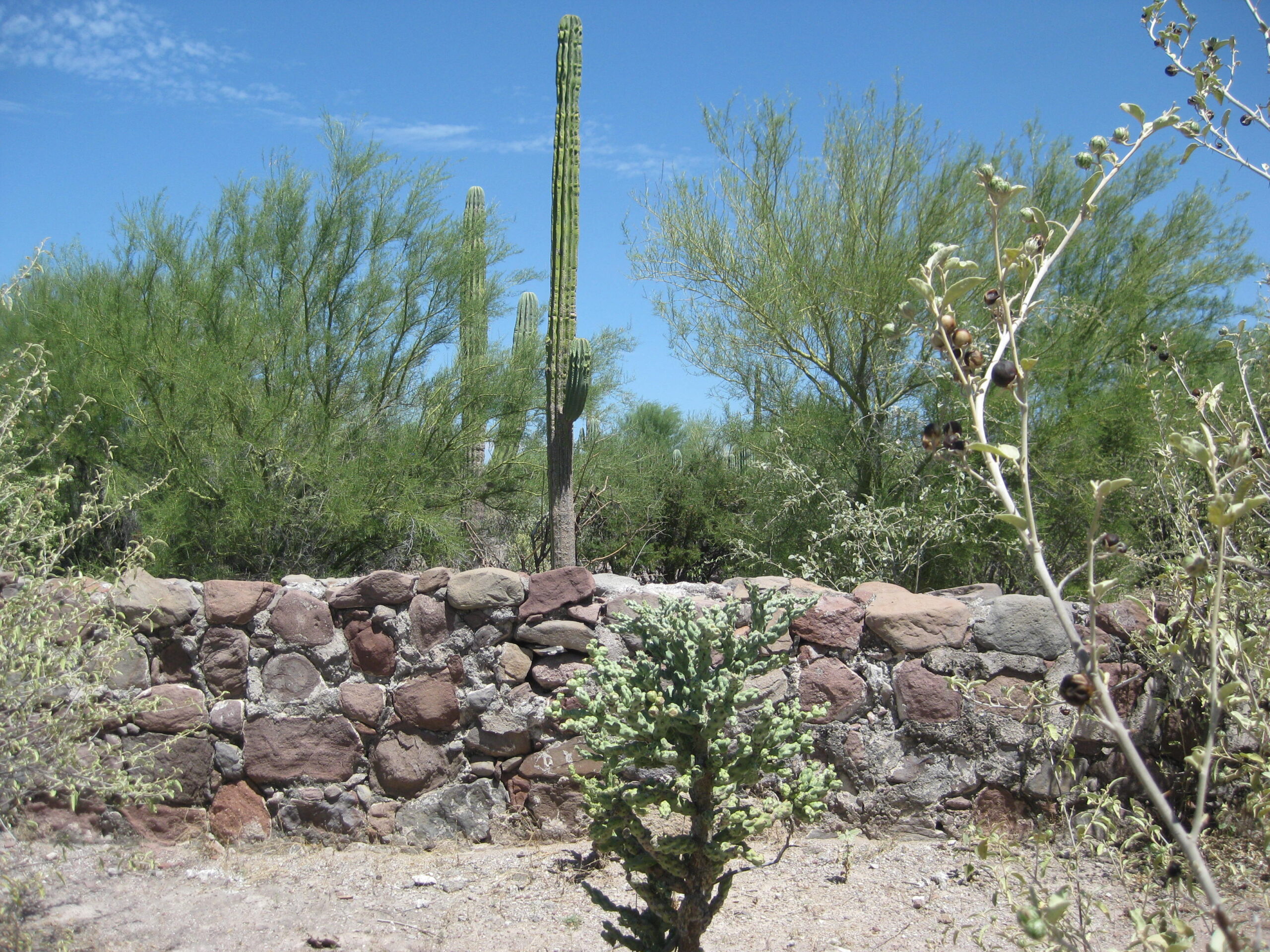
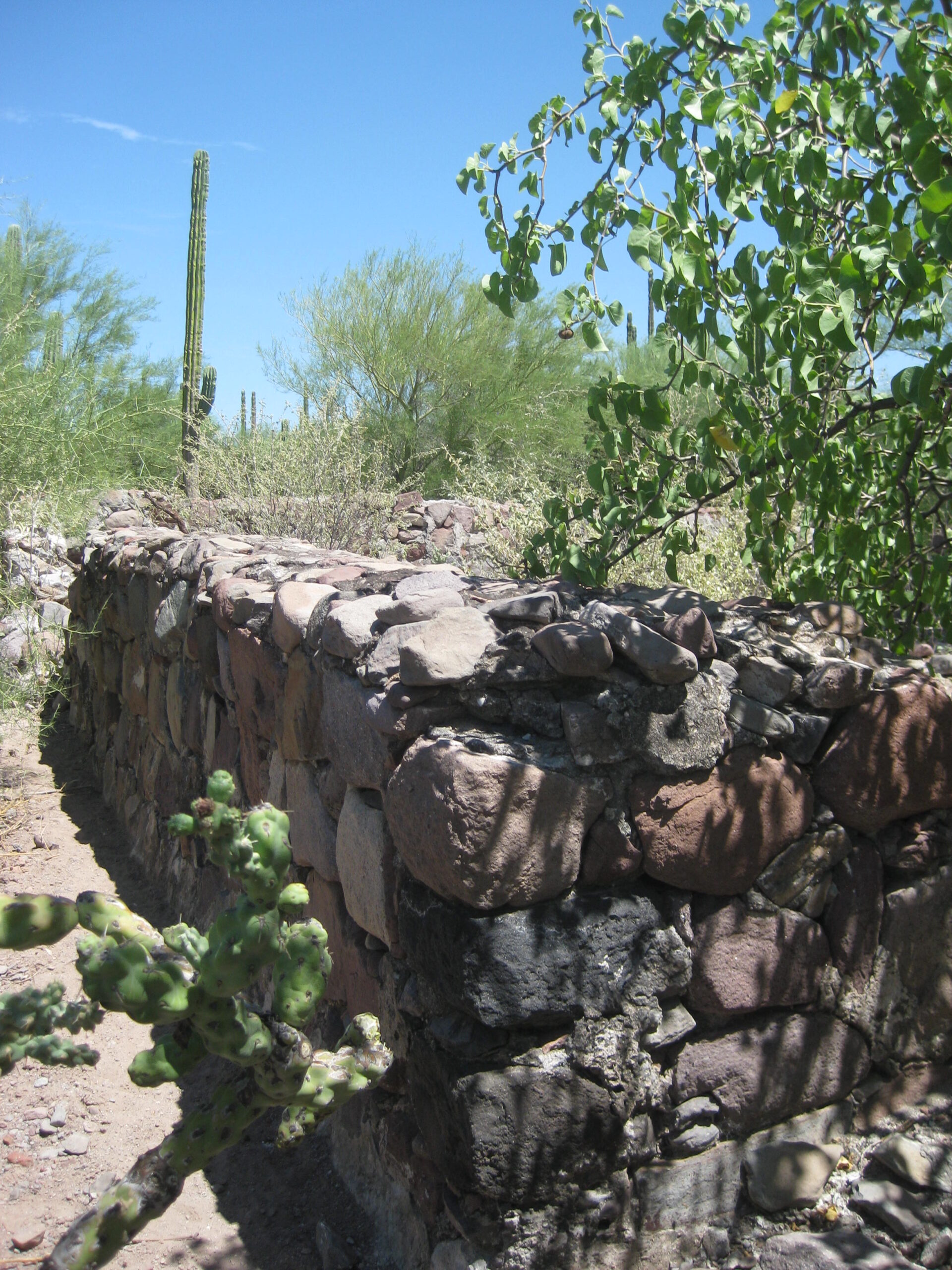
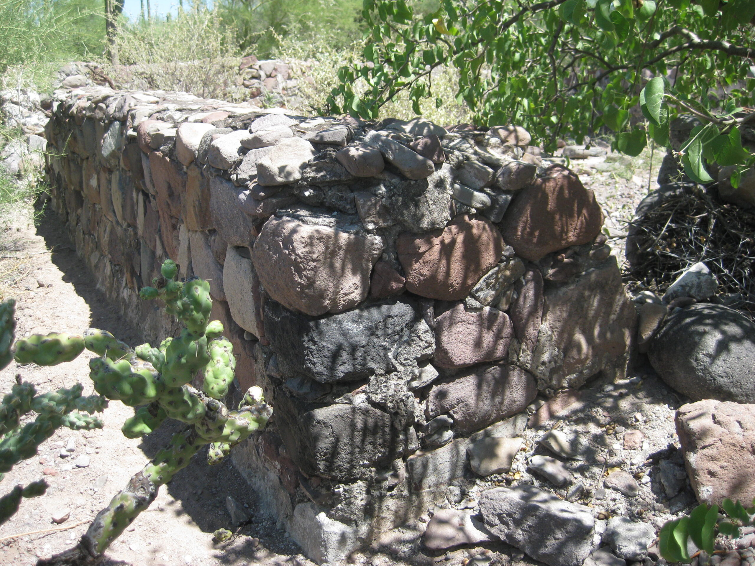
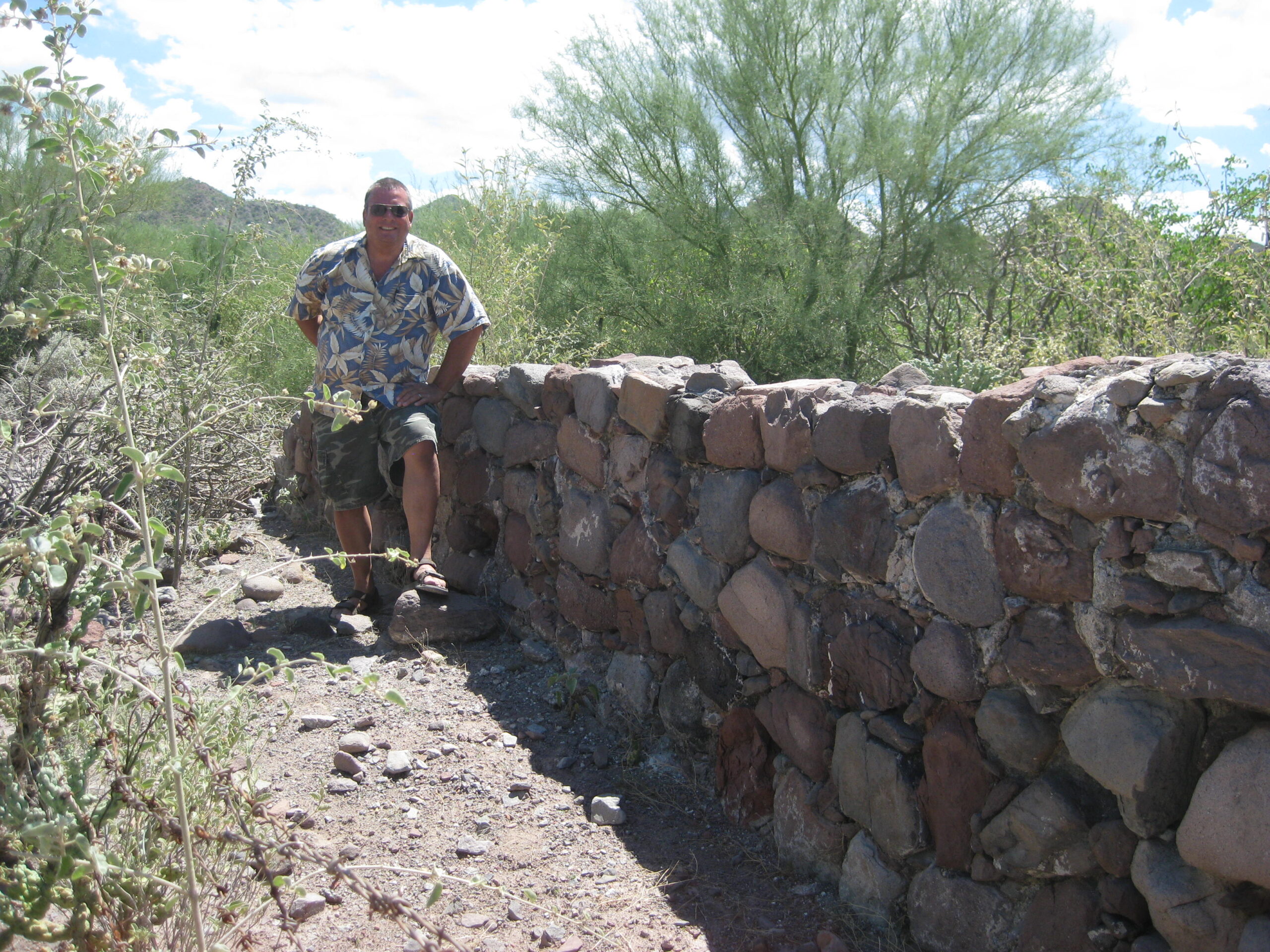
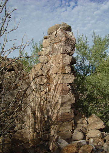
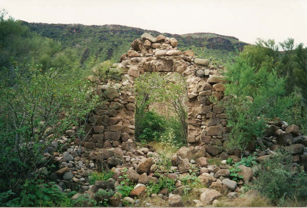
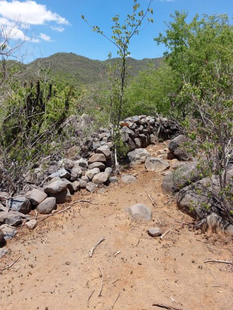
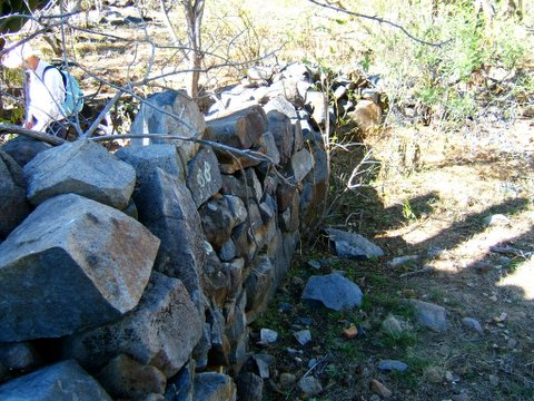
Visita de San Juan de Dios (attached to Mission San Fernando)
30°10’57.6″ -115°10’04.5″
2017 photo by David Kier
2008 photo by David M.
2003 photos by Jack Swords


2000 photo by David Kier

The following, larger adobe is closer to the arroyo and was not seen by myself or others 2000-2003:
1973 photo by Clyde McMorrow
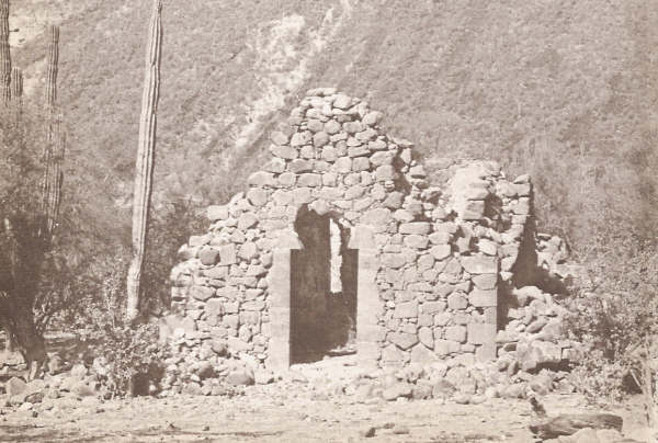
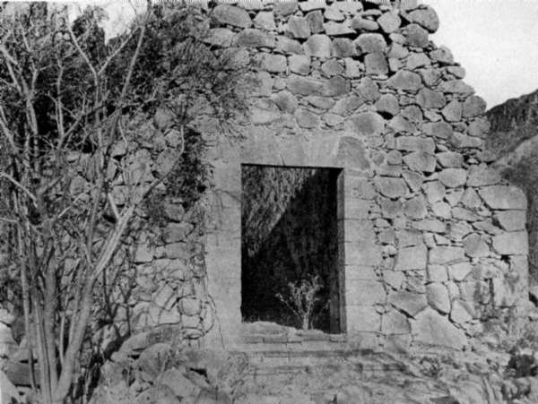
This wall is seen in a 1953 Howard Gulick photo, left of the ranch house:
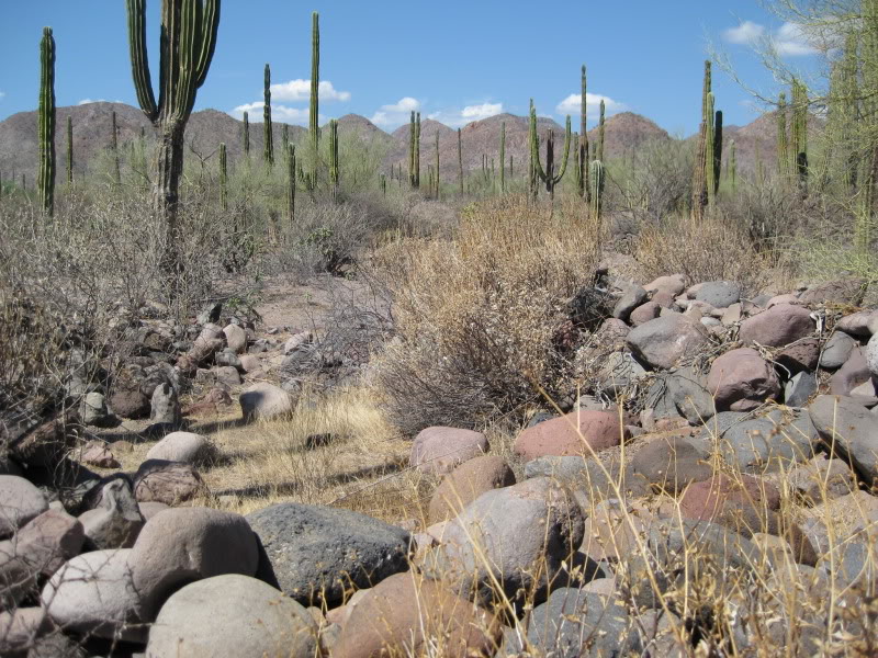
Visita de Santa Ana (attached to Mission San Borja)
28°41’25.2″ -113°49’14.3″

Visita de San Regis (attached to Mission San Borja)
28° 35′ 42.5″ -113° 46′ 23.7″ (approx.)


Visita de San Pablo (attached to Mission Santa Gertrudis)
27°42’07.8″ -113°08’42.1″

Read more: HERE
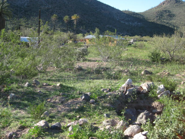
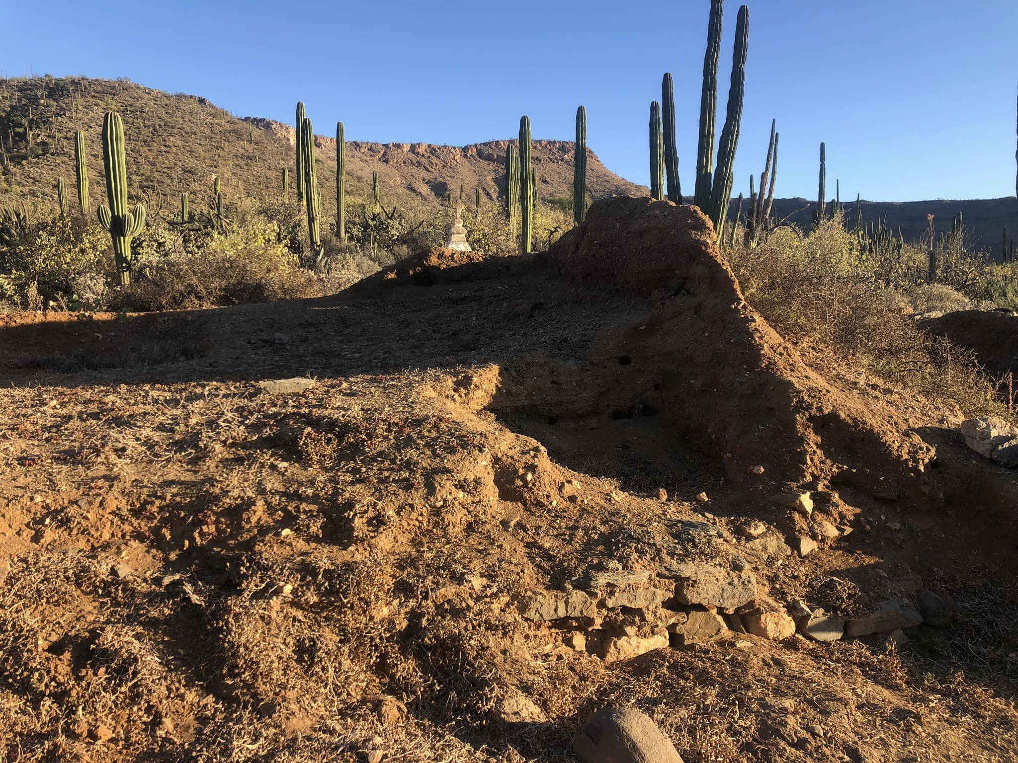
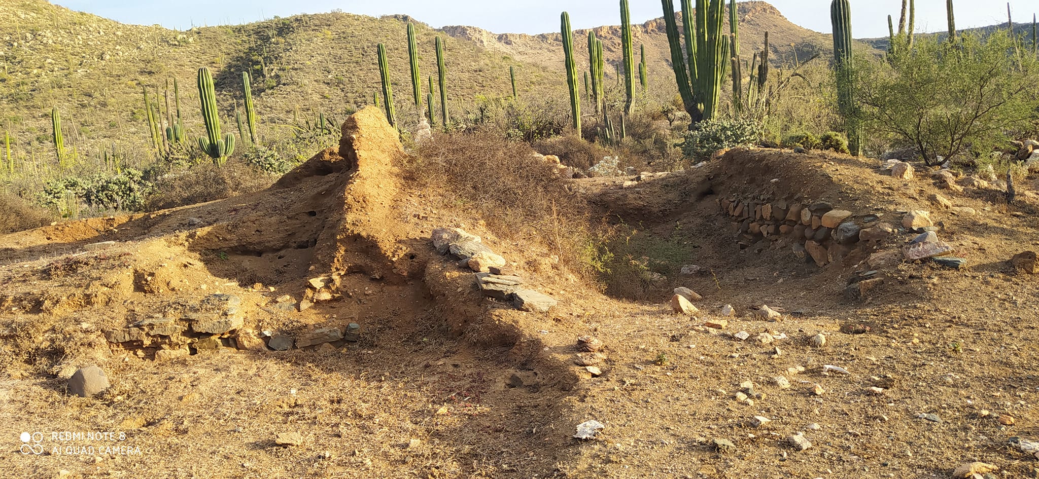
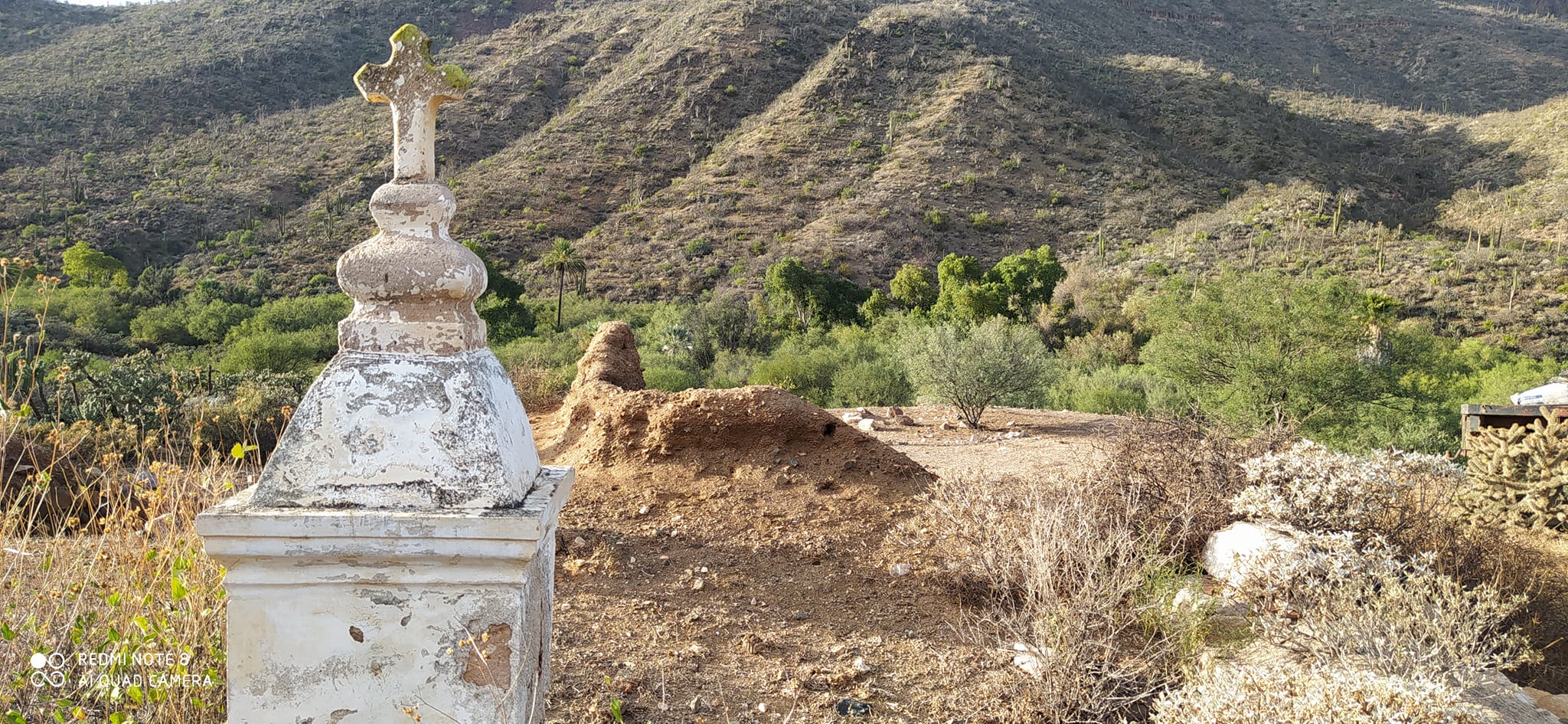
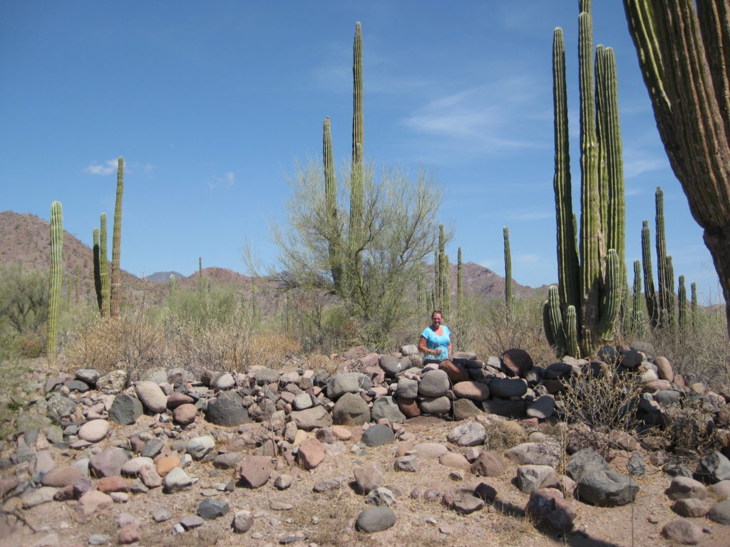
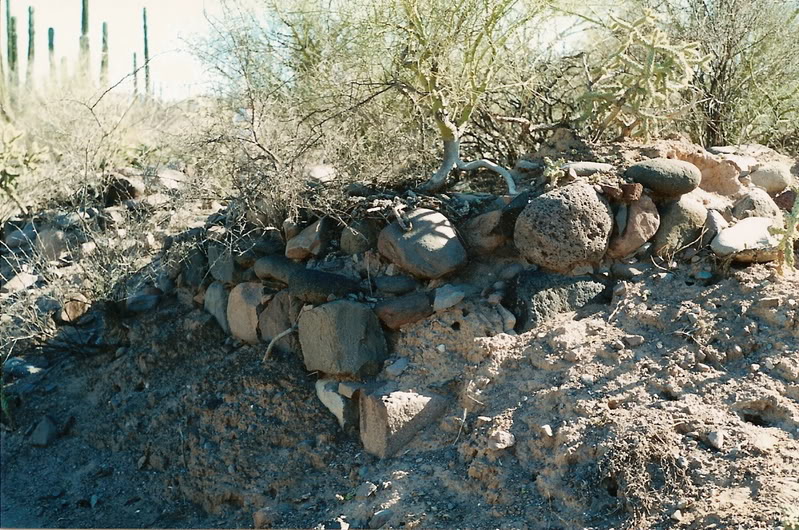
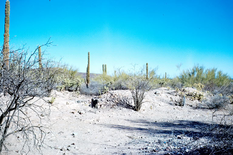
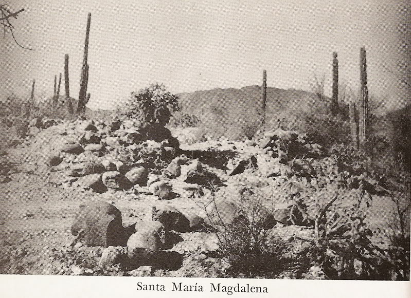
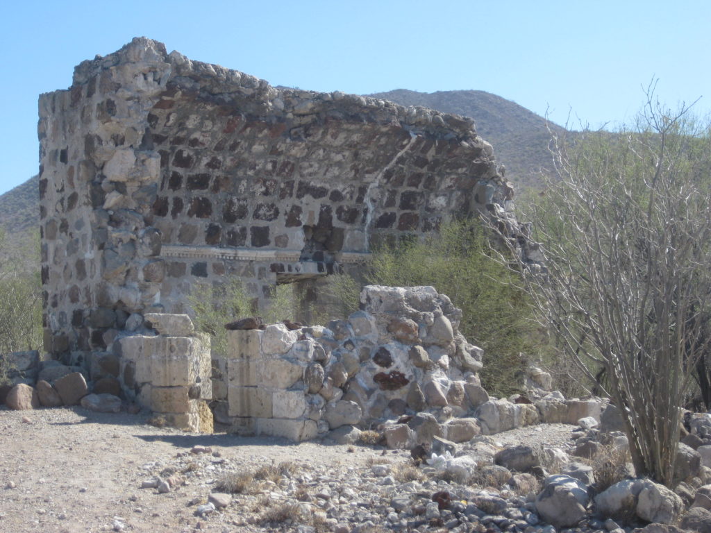
Visita de la Magdalena (attached to Mission Mulegé)
27°03’29.9″ -112°10’07.4″
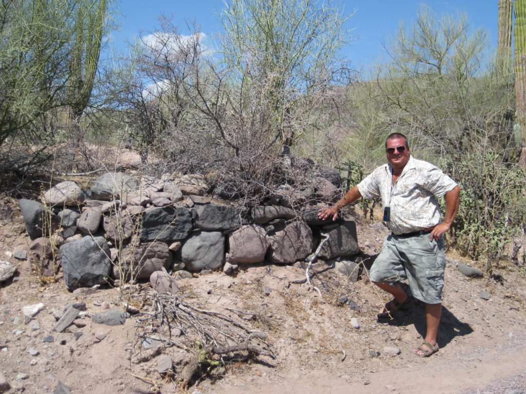
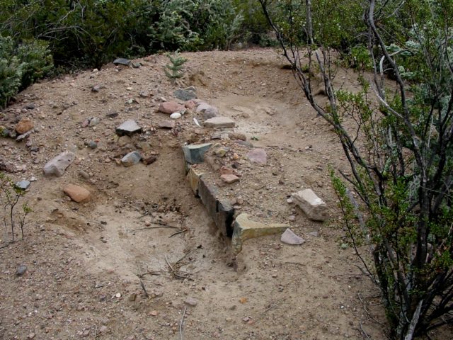
After the 2014 flash flood, the nearby pila (reservoir) remained: 27°03’29.1″ -112°10’12.3″ However, in 2022, even it was being washed away.
More 2009 photos by David Kier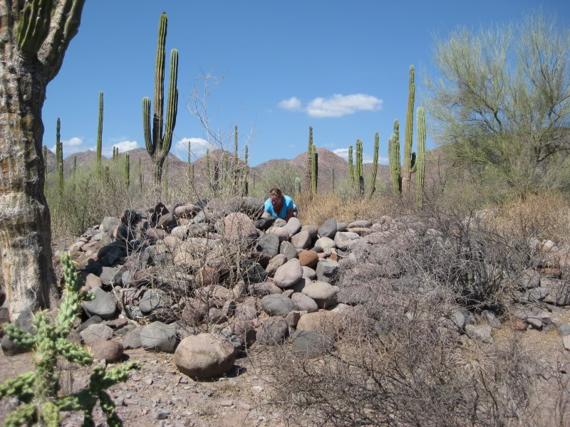

 Aqueduct west of ruins in 2009:
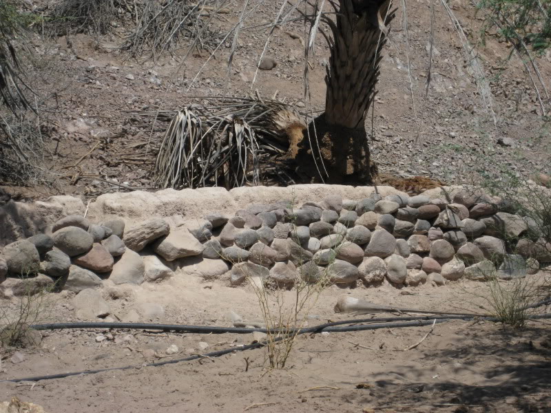
1998 photos by Kevin Clough
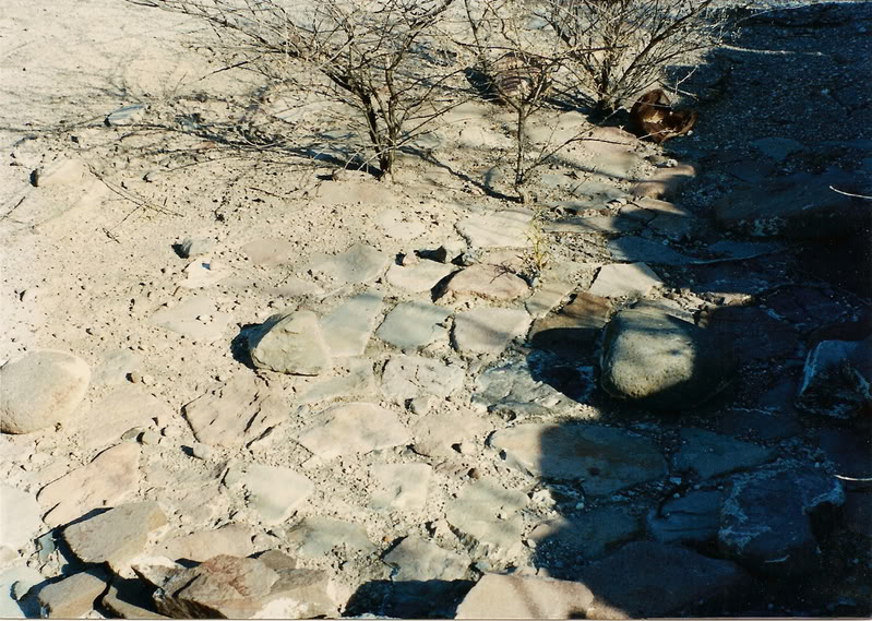
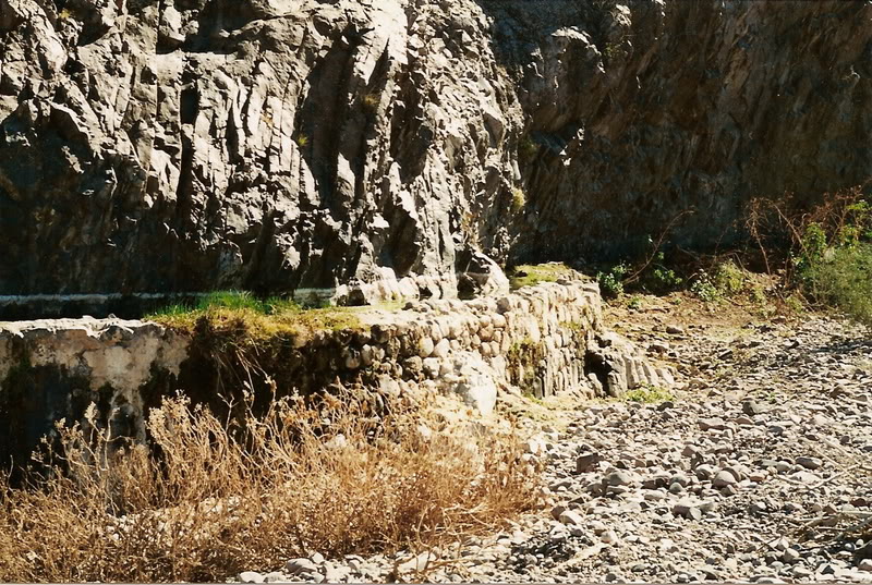
More 2015 Photos by David Kier
Remaining ruins not yet washed, away in 2015: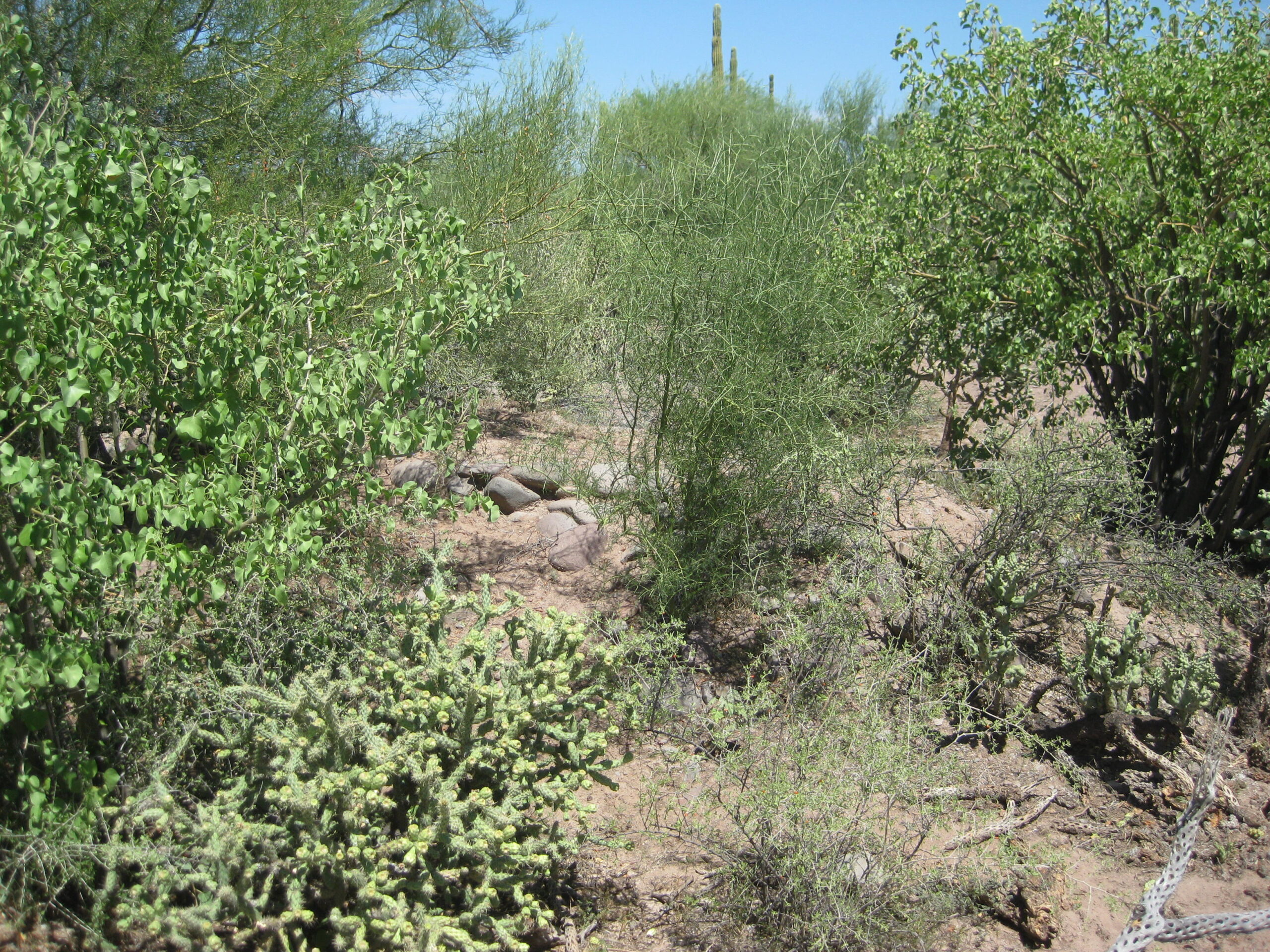
Pila (reservoir) in 2015:
Aqueduct west of pila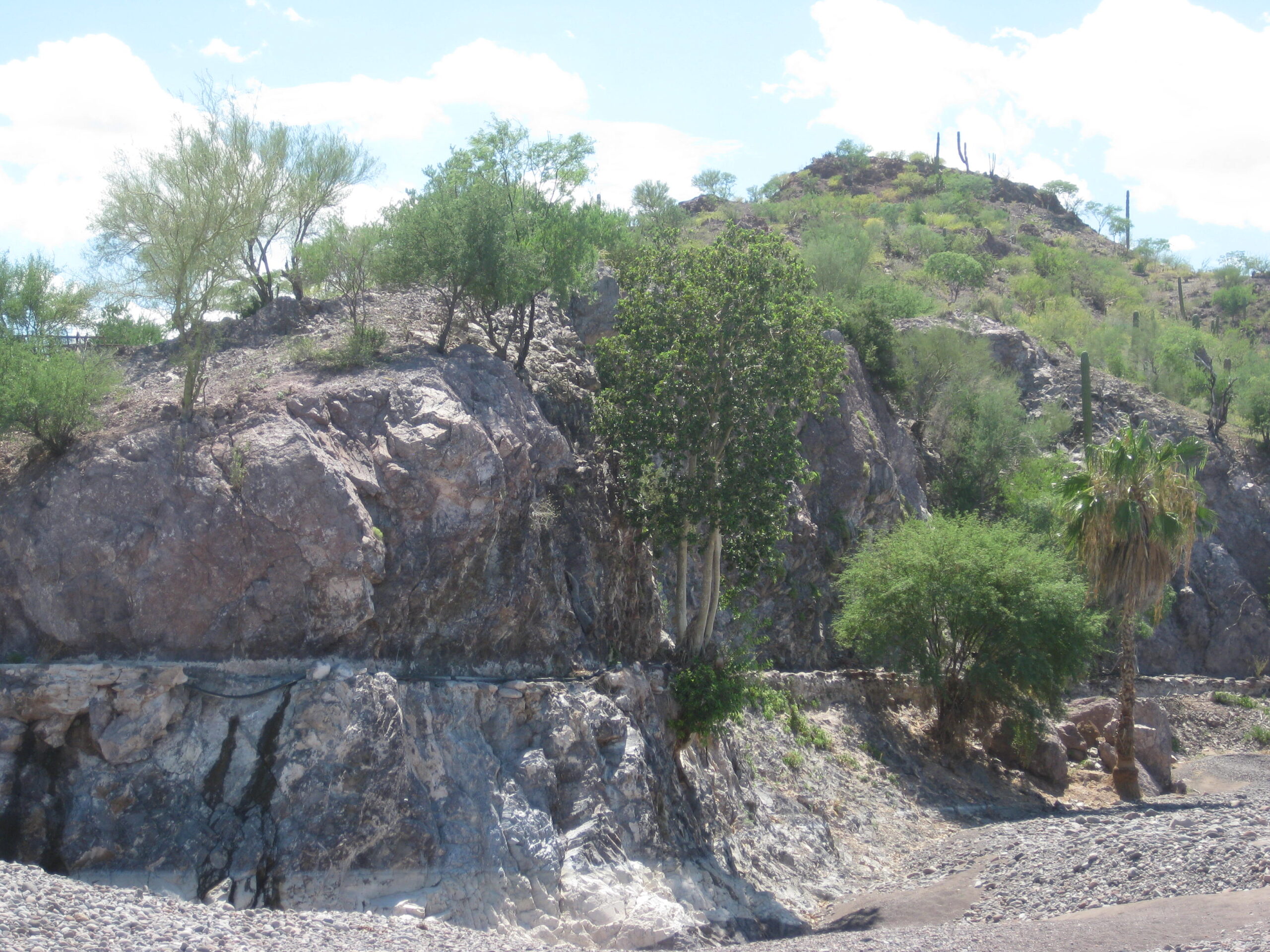
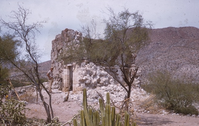
1950 photos by Marquis McDonald
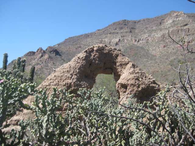
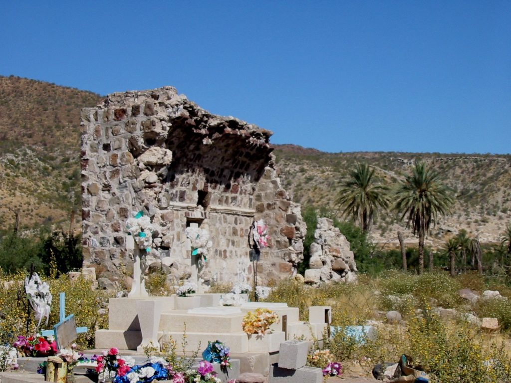
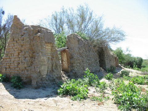
Visita de San Miguel (attached to Mission Guadalupe de Huasinapí)
26°43’5.3″ -112° 18′ 7.3″
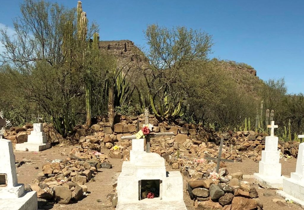
Cemetery of San Miguel that began inside the visita chapel. See the square, cut-stone blocks in the background that were once the chapel wall. First graves were inside the chapel. Photo on April 19, 2022 from NZdo Aicrag.
 From the 2002 book by Edward Vernon, Las Misiónes Antiguas, The Spanish Missions of Baja California.
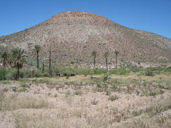
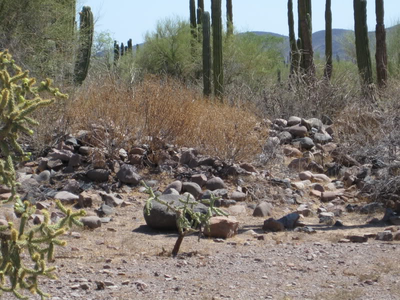
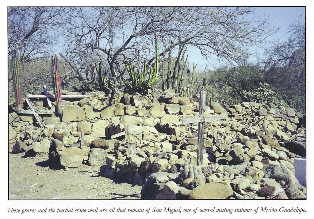
Visita San Juan Bautista Londó (attached to Missions Loreto & Comondú)
26°13’30.8″ -111°28’24.5″
Visita San Miguel (de Comondú) was originally attached to Mission San Javier. When the Comondú mission moved to just 4 kms away in 1736, the visita of San Miguel (de San Javier) became the visita of San Miguel de Comondú.
26°02’17.4″ -111°50’4.1″

Visita de Santa Rosalillita (attached to Mission San Javier)
25°55’31.0″ -111°40’15.1″ (approx.)


Visita de La Presentación (attached to Mission San Javier)
25°43’45.0″ -111°32’37.4″


Visita Angel de la Guarda (attached to Mission Pilar de la Paz)
23°53’27.6″ -110°10’14.8″

Visita de San Jacinto (attached to mission at Todos Santos)
23°14’32.5″N 110°04’38.6″W


Additional visita photos, GPS, and data: https://vivabaja.com/missions3/
Mission and book discussion: On Facebook ‘bajamissions’ group
From the book, Baja California Land of Missions:
Usually, a mission center (cabecera) had some satellite chapels with farms. These were known as visitas (mission visiting stations). The mission priest would visit them periodically and conduct services. Visitas were typically located at existing Indian settlements (rancherías) that also had a good supply of water. Some visitas were very productive and had large stone chapels. Some would become missions, but a few mission sites would later be reduced in importance to being only a visita. Rancherías sometimes were relocated as the Indian tribes were often nomadic within a defined territory, following food sources. Some of the visita ruins were impressive and mistaken for being missions by more modern travelers. The best known visitas of Baja California include San Juan Londó, Magdalena, La Presentación, San Miguel (de Comondú), San Pablo, San Juan de Dios, and San Telmo. Ruins at Londó and San Pablo remain impressive to see into the twenty-first century. Most others have collapsed into rubble, been washed away by floods, or plowed over by farmers.