

DAY 4 (WED MAY 15): South we go!
The itinerary today was to try and get to the oldest European ruins in all the Californias, San Bruno. In 1683, months after a failed colony attempt at La Paz, Padre Eusebio Francisco Kino and Admiral Isidro de Atondo y Antillón re-crossed the gulf again and landed at the San Bruno beach, walked 2 miles inland, and established their new colony, with a fort, on top of a hill. Remains of the triangular-shaped fort are still visible on this hill.
First, we went to the mission visita of San Juan Londó. Cameron did not know of it and being just a half mile off the highway, it is an easy site for his tour to see. Londó was a farming location and a sort-of visita for San Bruno (1683-1685). Around 1699, it was redeveloped as a visita for the Loreto mission and even considered to be a mission by the Jesuits. However, as it did not have a benefactor or full-time priest assigned, thus it was not a true mission. The short road west to Londó is at Km. 30.
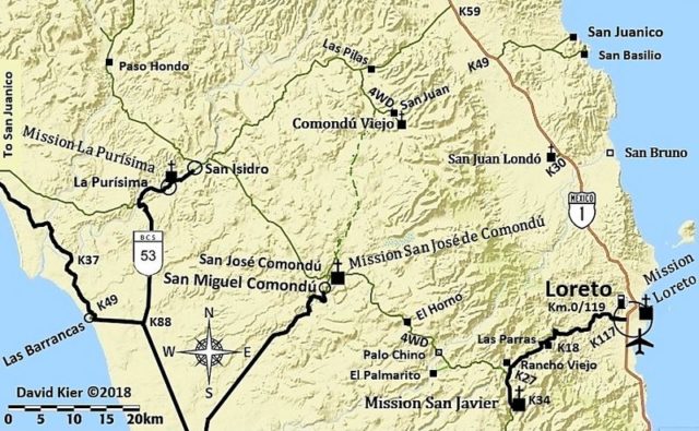
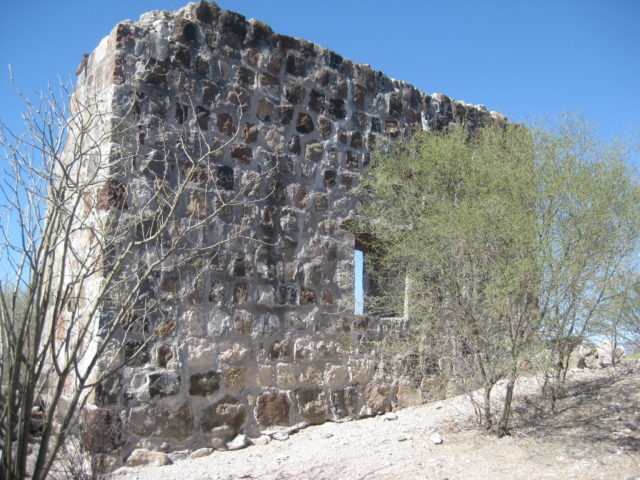

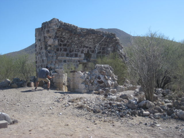

At KM. 26 is a bridge over the San Bruno arroyo and on the south side, a road goes down to the dry wash. This is the access to the site (4WD only) and there is also a gravel/ sand mining operation in the arroyo you pass by. Now, the arroyo forks and the road leading north to the ruins is hard to spot. We go down the right branch to the estero and come back out to the highway and try the Playa Publica road to San Bruno beach next. This is at KM. 24 and in the military checkpoint compound. You get checked then almost make a U-turn to take the road east to the beach, right through the middle of the checkpoint structures. We go to the beach, it is beautiful and I chat with a fisherman at his shack just over to the left by the estero.
He tells me to go back and see the white gate for a road going north.
First, we take photos at Playa San Bruno. This is where the Spaniards landed in 1683.
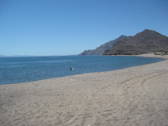
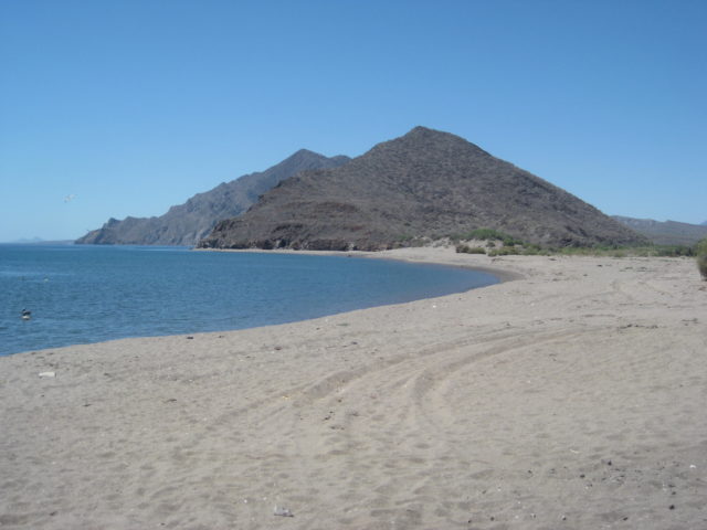
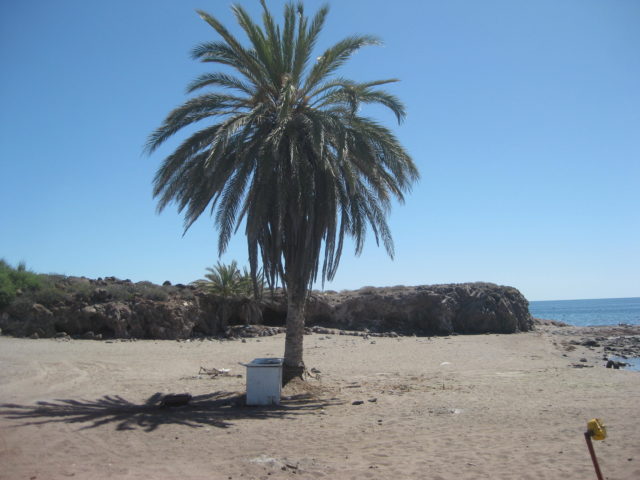
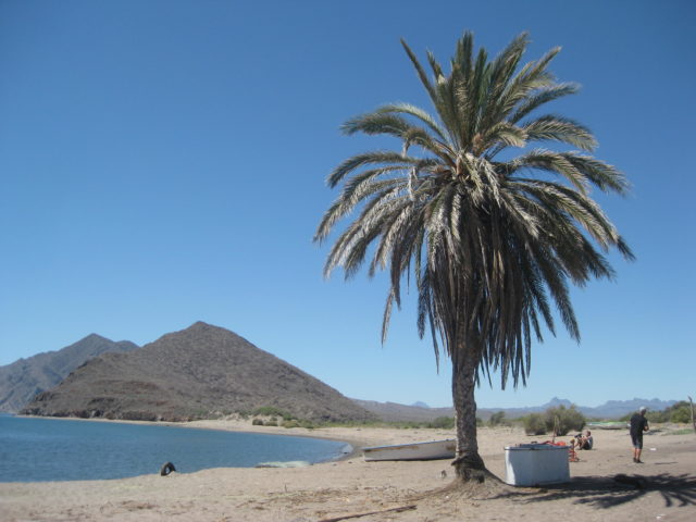
San Bruno
Some writers call San Bruno a mission, but it was more of a colony attempt to gain a foothold in California. It lasted less than two years. Poor water supply, lack of food, and scurvy all were hard to overcome. Kino and Atondo did make a crossing of the peninsula from here making them the first to reach the Pacific by land.
We first drove as close to the site as possible, did not see a trail through the shrubs and tried to find another access. We all parked on the flat to the west of the hill. The drone was launched and Jimmy and I looked to find any sign of the fort. Meanwhile, the others hiked to it and found it first. They found a good trail up from where we first drove to, it was simply hidden to our eyes. I walked directly from the Raptor to the hill and up to the site. We all returned the way I went and said the trail they took up was easier.
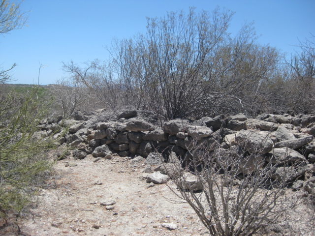
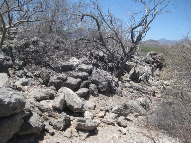
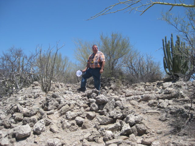

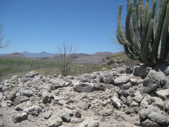
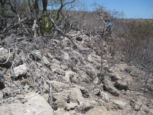
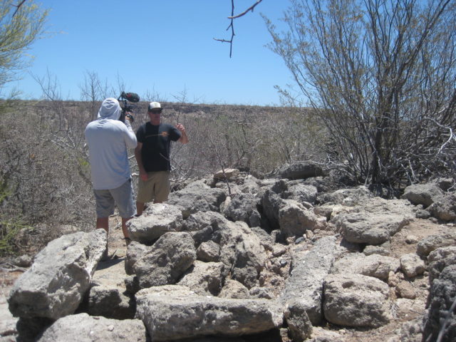


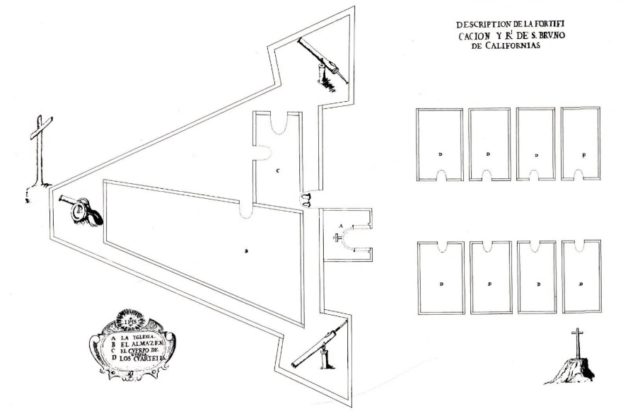
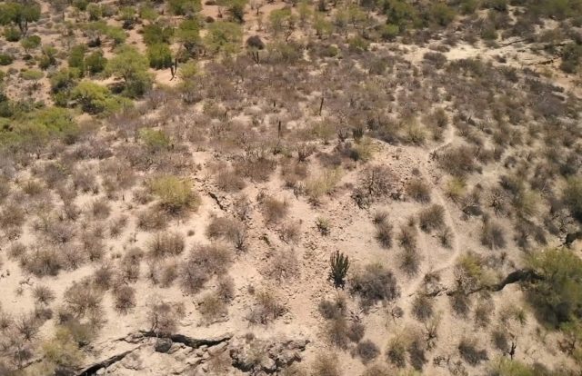
The San Bruno ruins were destroyed in 2022 when the hilltop was graded. The walls were ‘remade’ to resemble the original design. More on San Bruno: https://vivabaja.com/san-bruno-1683-1685/
Next, time for lunch at Concepción Bay!
DAY 4, in the PM
With success at getting to San Bruno, we make a beeline for lunch at Mark & Olivia’s Playa Buenaventura where we have a cheeseburger in paradise or some carne asada (I think)… I was one of the cheeseburger eaters, and it was great as always!
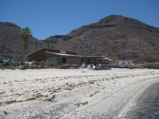
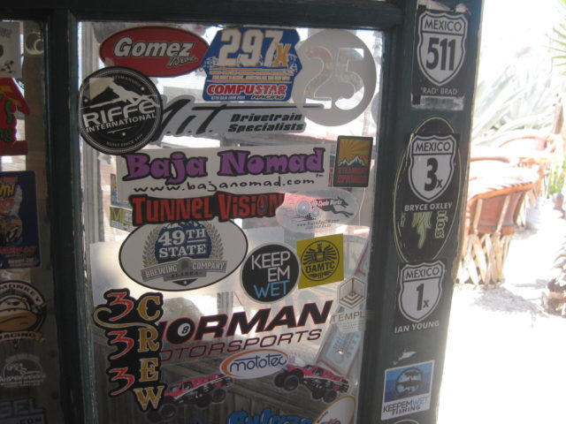
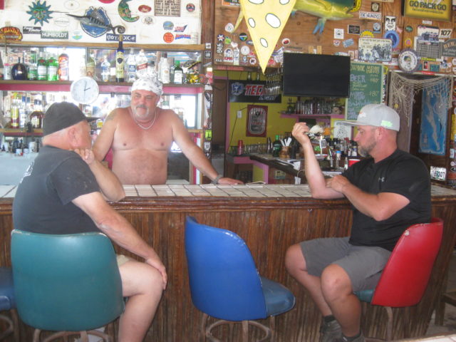
Cameron and another took a swim before lunch was served.
Everywhere along the Sea of Cortez that week was beautiful, the water was flat, no white caps, and warm! A great time to be in Baja!
After lunch, they were asking about a side trip to another place and I recommended they see the fantastic Playa Frambes Lighthouse Resort www.mulege.org run by Baja Nomad ‘Bob & Susan’. It was great to visit with Bob & Susan, again. I was last there with Baja Angel on our 1-year anniversary (2009).


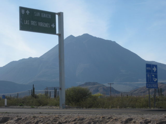
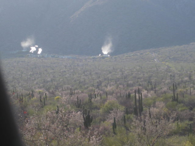
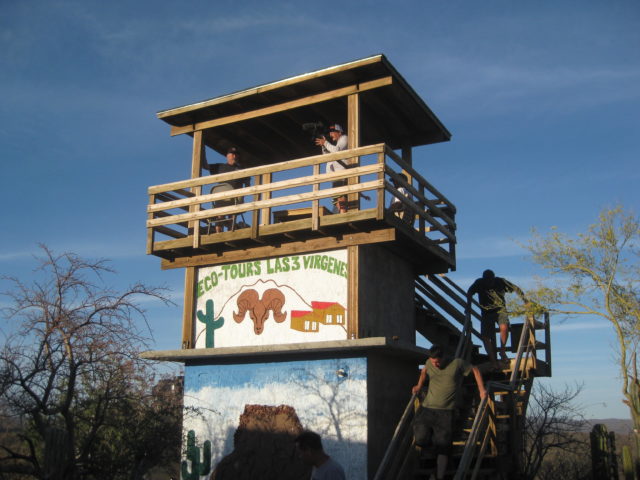
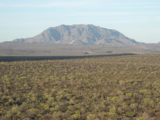
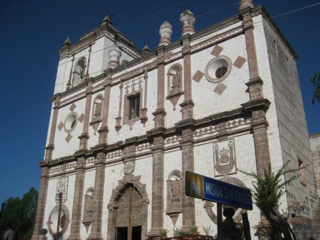
From there we headed north to the Tres Virgenes volcano power plant and eco-resort before arriving at San Ignacio for a night at the La Huerta Hotel, where we had a great dinner! Cameron invited the owners of the ice cream shop to join us.



Continues on next page >>>