DAY 1 & 2 (May 12 & 13, 2019)
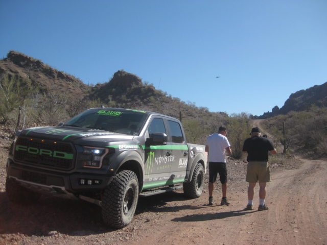
I drove to Cameron’s shop (1 hour from my home) on Sunday, where my truck would be secure for the week and we were off about 2 pm with 3 Raptors. I was in the newest one, with only 1,800 miles on the odometer (it was well over 3,000 after 6 days). Jimmy Lee Cook drove… he is one of the cameramen and operates the drone, too. Jimmy has produced/ filmed most of Cameron’s tv shows as well as other tv shows, including NatGeo.
We picked up another cameraman (Sasha) along the way and made a beeline for Calexico where Curt LeDuc and another guest, with a Raptor, joined us.
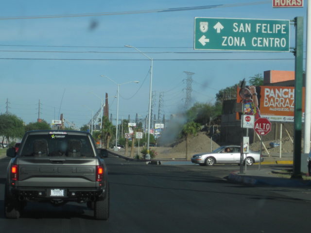
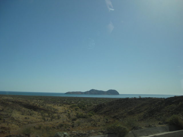
Across the new Mexicali West border, several of us got FMMs, and then south to San Felipe, arriving as it got dark. We had rooms at the Stella Del Mar motel that (as I understand) was once part of the El Cortez, but got divided up into 3 smaller motels. It was right on the sand… Dinner was great.
We sat out under a palapa by the sea drinking and chatting before crashing.
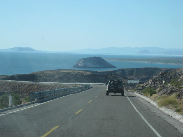
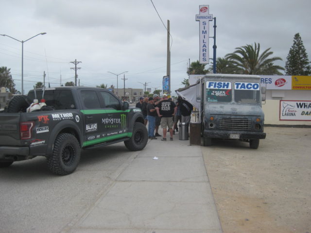
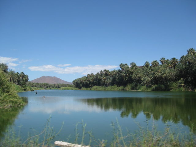
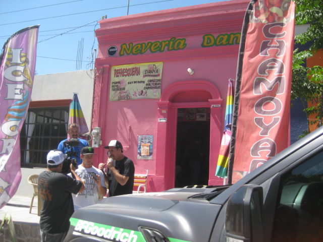
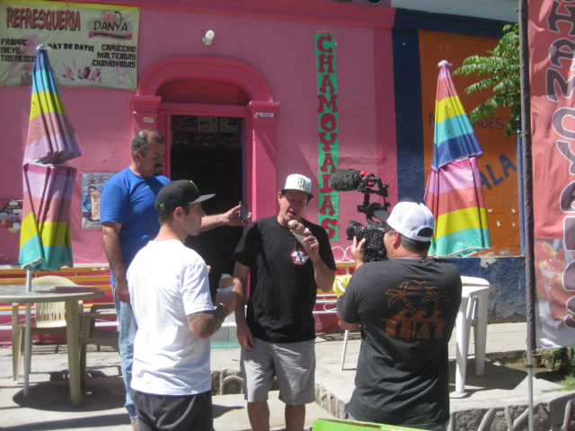
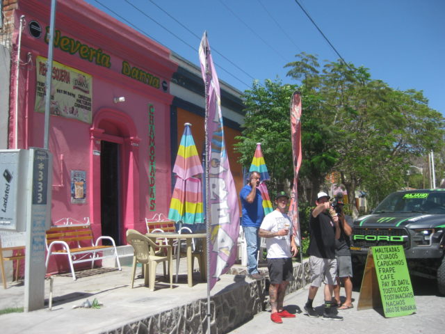
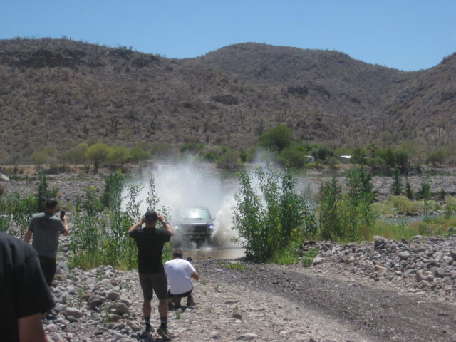
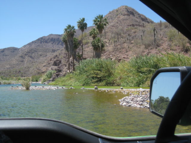
The next morning we had breakfast at George’s, a few blocks inland from the motel. I had hotcakes and bacon. We then were off to Mulegé with stops at Guerrero Negro for tacos, San Ignacio for ice cream, the dirt road north of Santa Rosalía for some action shots (the network wanted more off-road action in the show), and at Mulegé we did some filming with the drone along the river. El Patrón was closed and Pancho Villa’s was no longer there, either… so sad. We met Salvador to ask about logistics to see La Trinidad cave art, but we ended up passing on it. Salvador was very nice and Cameron offered to compensate him for meeting us.
We spent the next two nights at the Serenidad and ate dinners and breakfast there, too. I never saw Don Johnson but did see the nice memorial chapel for his wife, Nancy, who has recently died.


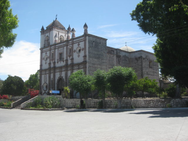
Day 3 Tuesday: Mission Guadalupe de Huasinapí
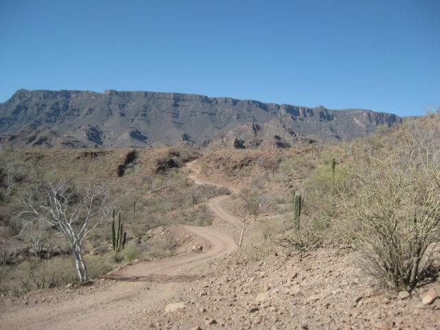
We had a good breakfast at the Serenidad and headed west, onto the Ice House Road and across the big valley, passing the signed roads to La Trinidad and climbing the hills…
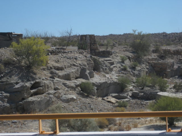
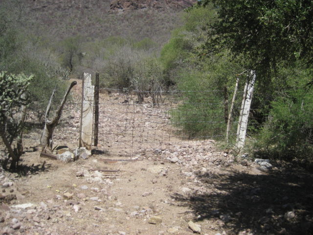
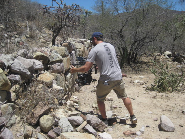
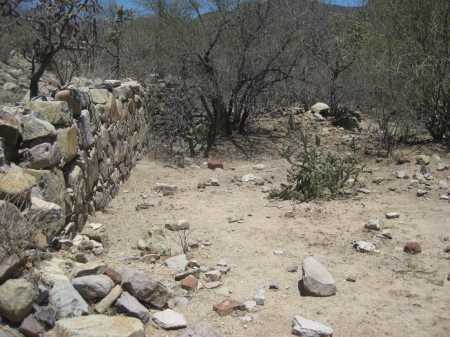
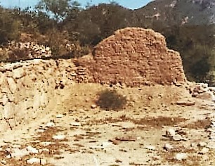
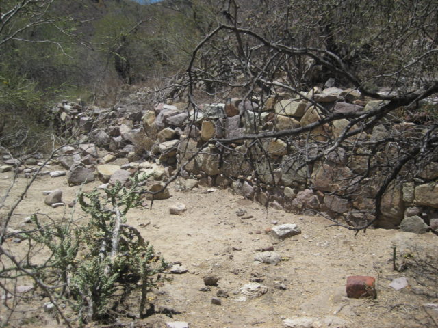
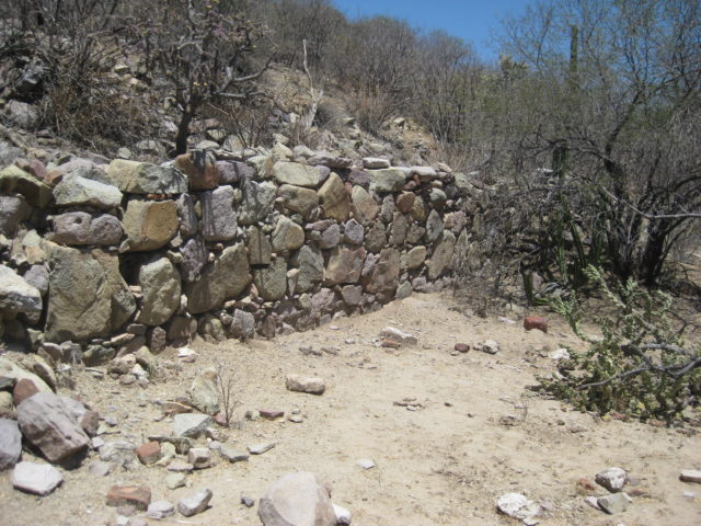
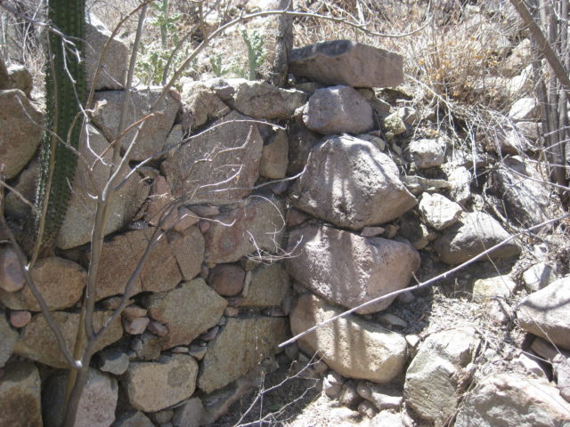
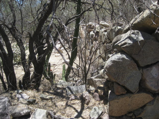
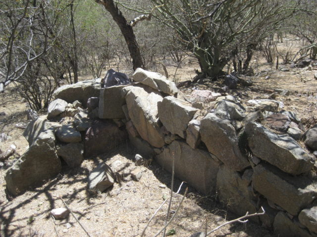
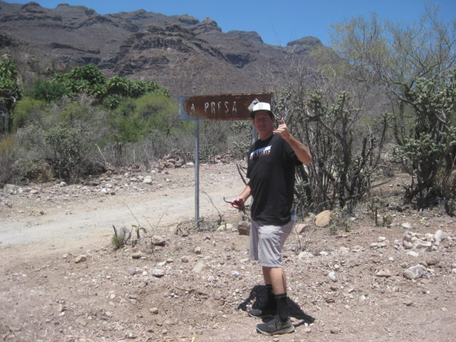
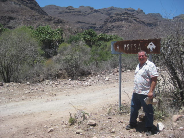
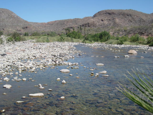
The road north (signed for Ex-Misión de Guadalupe) from the Mulegé to La Ballena (San Juanico/Scorpion Bay) road is much better than when I drove it in 2017. We arrived at the gated and wired shut driveway up to the cinder block building, made lunch, then hiked up the arroyo as I did before and walked to the mission ruins (they are west/ uphill of the cinder-block building). In addition, we went further north to the spring surrounded by the palms before walking out to the main road at the La Presa sign and junction with the road up the hill that goes to San José de Magdalena. The road from there towards the mission is a better approach and there are no fences to go through other than the gate. This was my second time going to the 1720-1795 mission in the mountains.
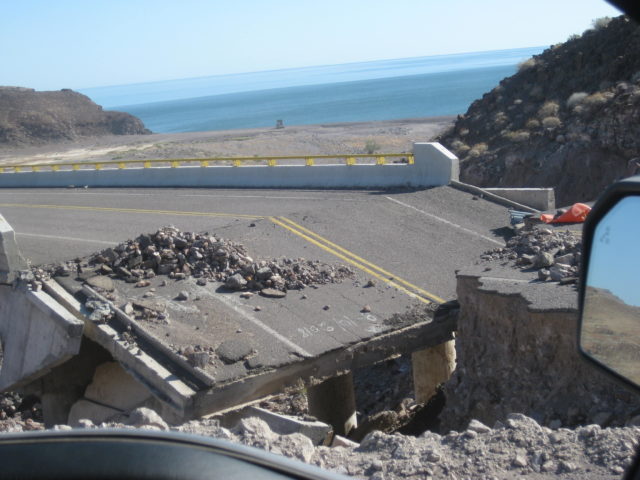
The road to San José de Magdalena was destroyed in 2014 and reported reopened in late 2018. It is indeed repaired and a very dramatic and photogenic route. There is a very steep grade and for that reason, I suggest only 4WD vehicles attempt it (at least from the east).
Passing through San José de Magdalena, it appears to be a most interesting village with a cemetery of many old graves. Cameron doesn’t like cemeteries so he didn’t stop. I hope to return and have a better look.
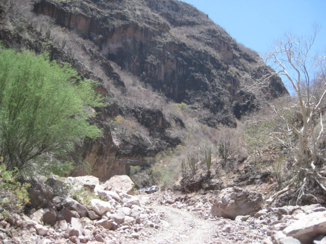
Once on the highway, southbound to Palo Verde, there was a lot of discussion about going to the San Borjitas cave with the time we had left that afternoon. We stopped and had a pow-wow to discuss it and Cameron asked me if we should try the road. Salvador (in Mulegé) said it takes 3-hours to get there. I said we should at least try and see if the road is that bad as we still had daylight and the rest of the group also wanted to try.

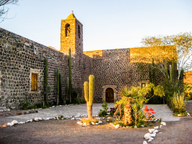
Arriving at Mission Guadalupe de Huasinapí (1720-1795)


To see where the güéribo trees were cut in 1719 and some 300-year-old logs: https://www.dstretch.com/CNPSGueribo/


To San Borjitas Painted Cave

The turnoff is at KM. 156 north edge of Palo Verde (the town where the Punta Chivato road is, at Km. 155.5). I will calculate the miles to the cave site from my GPS track or Google Earth and add it here. It is approx. 15 miles of pretty good dirt road.
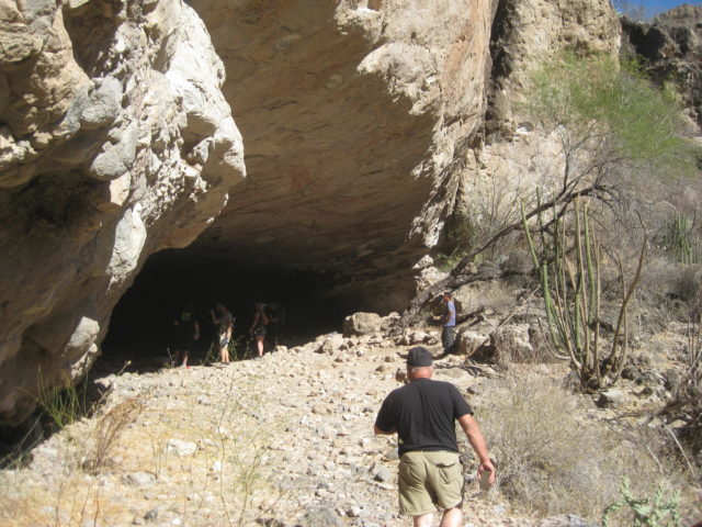
You drive to the end of the road (left branch at the only fork midway in) and there you will see all the signage to arrange a tour to the site. We met Ernesto there, paid the permits… as I recall it was 75 pesos per person and 300 pesos for the one guide. I don’t recall if there was a camera fee (like at San Francisco de la Sierra?
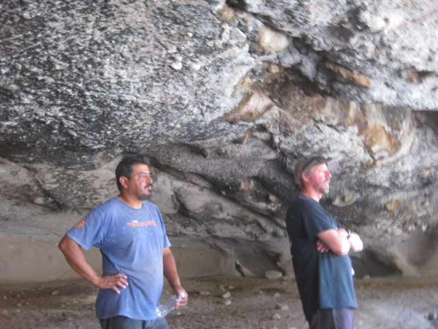
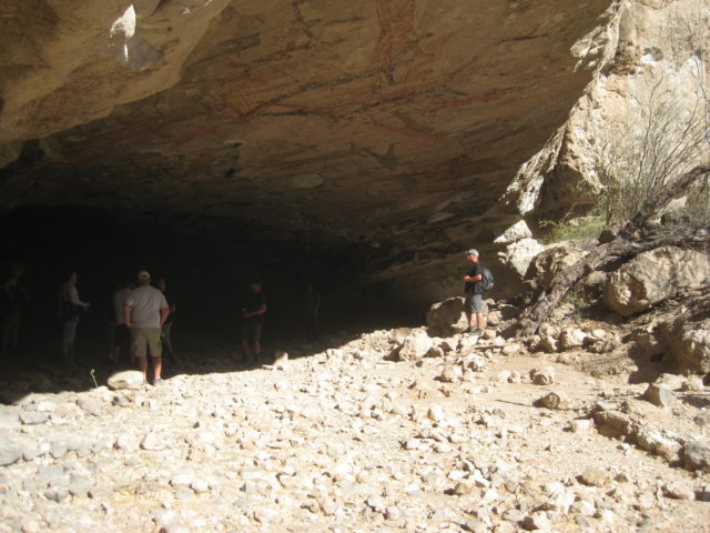
Ernesto hopped into one of the Raptors, took us back a bit to a side road with a locked gate, and we went down that valley, to a parking area (has bathrooms and shade tree) where the hike begins. Ernesto said it was an 800-meter hike. There are a couple of steep parts so this is for healthy people only. Two people in our group were older than me and we all made it, but my legs were sore later!
Well. the cave is fantastic… so many human figures on such a high, steep ceiling. How were they painted up there? Michelangelo worked the same way, at the Vatican!
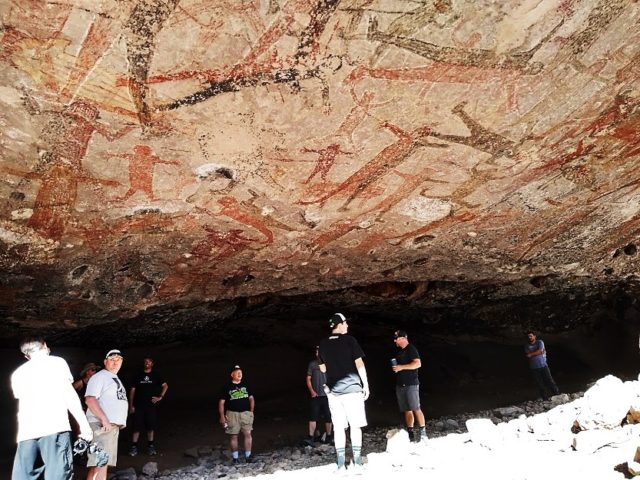
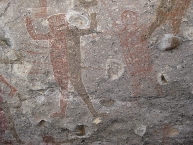
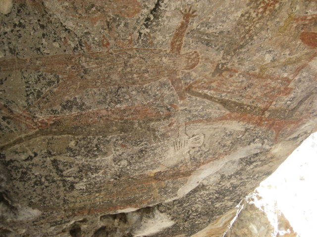

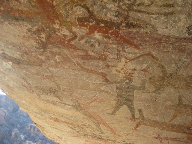
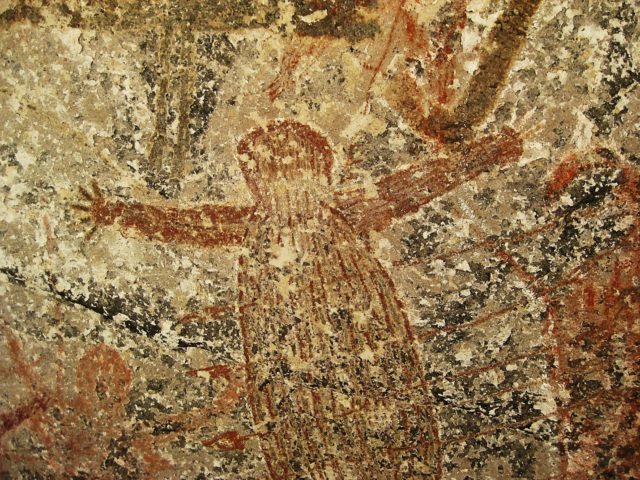
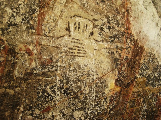
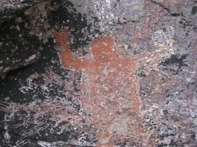
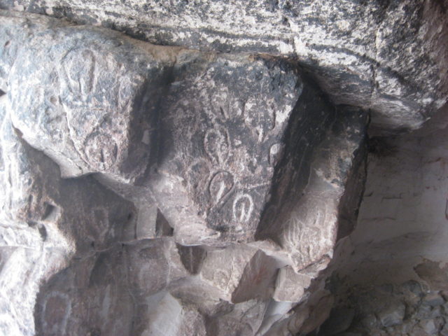
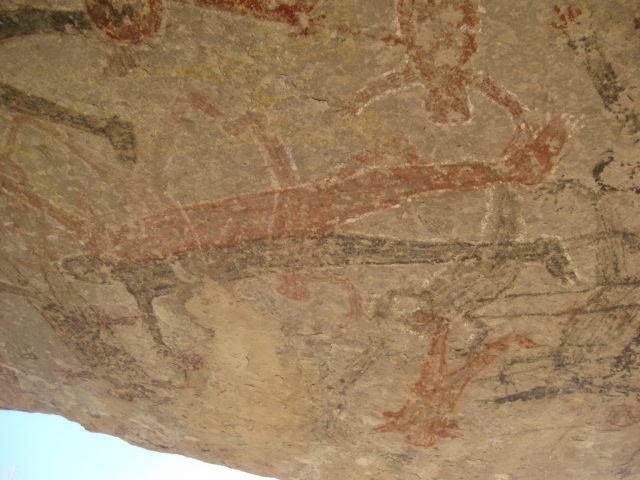

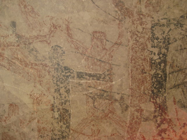
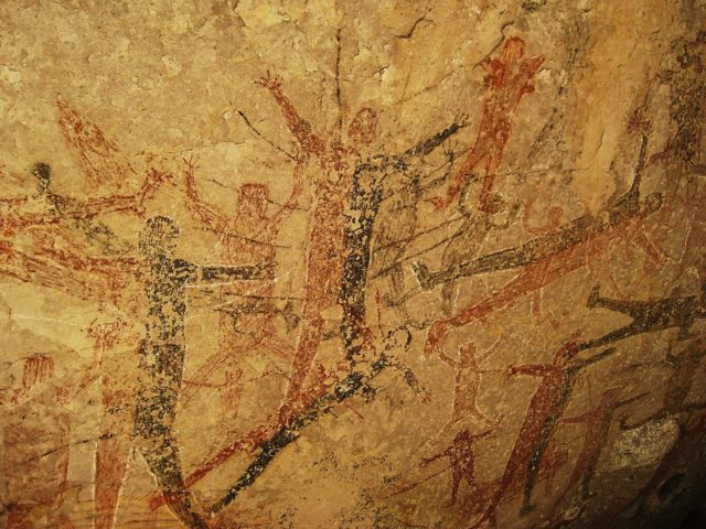
Perhaps the most incredible painted cave in Baja California?
See much more detail at San Borjitas using DStretch: https://www.dstretch.com/SanBorjitas/
When we returned to Mulegé, there was still enough light to film at the mission… see it on the next page>>>