On December 10, 2005 we drove the coast south from El Rosario. This made a very nice day trip out from El Rosario.
The road log for the trip is in three parts:
- Log 1 is El Rosario to Punta Baja.
- Log 2 is Punta Baja to the coastal road south.
- Log 3 is the coastal road on south.
The first section we drove was the well traveled road from El Rosario to Punta Baja (10.5 miles). Here is a road log to Punta Baja:
LOG 1
0.0 Leave Hwy. 1 at the sharp 90° curve in El Rosario and head west for less than 500 feet to a left turn. Turn left and enter the river flood plain then take fork to the right following the river course with some (usually safe) water crossings.
1.0 (one mile) from Hwy. 1, you will reach the south bank of the river and enter the town of El Rosario de Abajo. Pass the school, museum, El Rosario’s second mission site, some homes, etc.
2.5 (miles from Hwy. 1) a road turns left (south) and heads uphill. This is the route south for the coast beyond Punta Baja. It joins with the route we traveled via Punta Baja in 5.6 miles. We continued straight ahead (west)…
2.9 Turn left (south) for Punta Baja. Ahead is a 4WD road to La Bocana Beach (2.2 miles). or road logs to La Bocana Beach see http://vivabaja.com/206/page4.html
8.7 Road right, to continue south along the coast: GPS is 29°58.40′, -115°47.22′ (WGS84).
9.9 Arrive at the fishing village of Punta Baja. A road once went south along the coast from here, but was washed out requiring the detour at Mile 8.7.
10.5 miles from Hwy. 1 the road ends at the lighthouse on Punta Baja.
Road log continues below…

Agave Flowers Harvested

Punta Baja


Elizabeth enjoys the view
Punta Baja lighthouse

LOG 2 We return to the junction (Mile 8.7) and turn right to continue south, along the coast. Reset odometer to 0.0. (Point A on map) 0.6 Take center fork 0.9 Reach original coast road that came directly from Punta Baja, but was washed out. Turn left. GPS 29°57.70′, -115°46.84′ (Point B on map) We try to use the road that stays as close to the coast as possible and we arrive at a little cabin where a German lady named Gloria lives with several dogs. The road drops steeply into the gorge by her cabin. 5.6 After passing a striped mountain (see photo, below), we reach the main coastal road south that branched at Mile 2.5 in Log 1. GPS 29°57.89′, -115°43.82′ (Point C on map). Reset odometer to 0.0. Road log continue below…
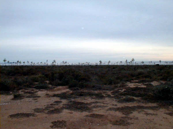
San Geronimo Island was almost always in view from Punta Baja to Punta San Antonio.
The Striped Mountain


The road here crosses Arroyo San Vicente (Mile 13.3)
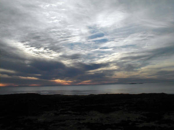
Neat Sky!
Isla San Geronimo is seen again, here.
LOG 3 0.0 Junction of road west from Punta Baja and north from El Rosario that branched at Mile 2.5 in Log 1. (Mile 0.0 is Point C on map). 1.6 GPS 29°56.59′, -115°43.37′ (Point D on map) Road to the right to Agua Blanca. Continue ahead. Pass by several roads to the coast. 2.7 Road to the right 5.3 Road to the right 13.3 Road goes through a (dry) mud canyon as it crosses Arroyo San Vicente (see photo, above). 15.2 Fork, we go right to stay closer to the coast. 19.6 Arrive at the coast with a ‘bird rock’ just off shore. 20.5 Punta San Antonio fish camp with a concrete boat ramp! GPS 29°44.66′, -115°40.69′ (Point E on map). Log continues below…
Burro by the road

Punta San Antonio fish camp

San Carlos Mesa in the distance

Photo taken near Punta San Fernando
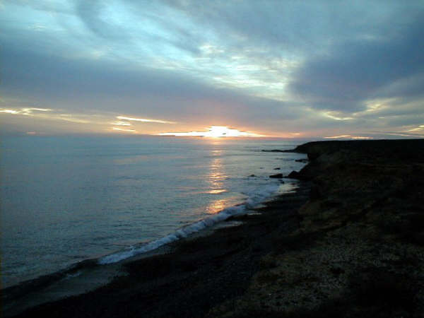
Sundown from Punta San Fernando
23.4 Cross Arroyo San Fernando 25.2 Road comes in from back, left (northwest). This may be the road that branched at Mile 15.2. 27.3 Campo Nuevo, a big fish camp at GPS 29°41.91′, -115°36.10′ (Point F on map). 31.4 Leave coast and head east. 33.7 Arrive at the Punta San Carlos road. GPS 29°40.79′, -115°32.14′ (Point G on map). Punta San Carlos is 6 1/2 miles to the right and Hwy. 1 is 31 miles to the left (at Km. 80/81, 14 miles from El Rosario’s 90° curve).
Elizabeth

My Baja Angel

Makes me very happy!

