
DAY 4 (Friday Oct. 13, 2017) San Pedro Mártir
I left El Rosario at 9 am after filling my gas tank at Antonio’s service station. It is still a Pemex station, but things are changing in Mexico. The price per liter of Magna (87 octane) was 16.39 pesos (62.03 per gallon or US$3.56).
Driving north, I noted that the road up into the Sierra San Miguel (lower San Pedro Mártir), passing near San Isidoro, is paved now where it leaves Hwy. 1. This is at Km. 187.5. TW, The squarecircle, and John M recently traveled this route: http://forums.bajanomad.com/viewthread.php?tid=81801
I passed by the observatory highway (Km. 140.5, San Telmo de Abajo) to top my fuel tank before going up the mountain. The Pemex station is at Km. 139, just north of town. The price here was 16.29 pesos/liter. It is 71 miles from El Rosario and it took 3.7 gallons to top the tank. That was 19.2 miles/gallon (I love ethanol-free gasoline) which is good for about 2-3 mpg better than I ever get on California gasoline highway driving!
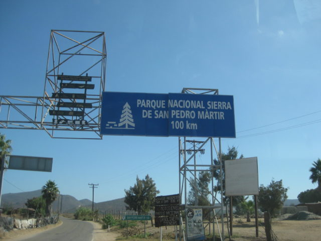
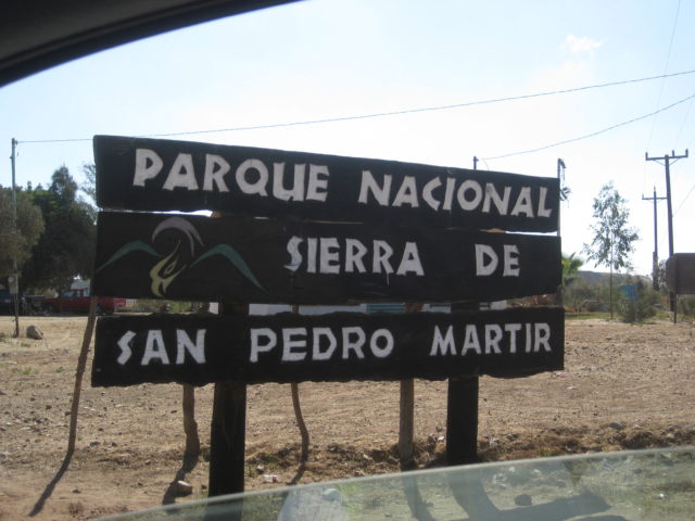
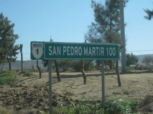
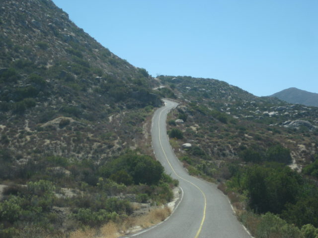
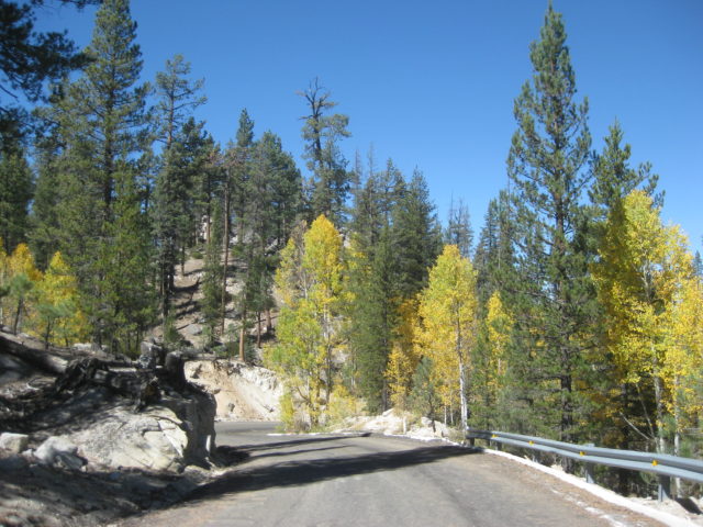
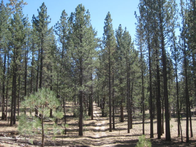
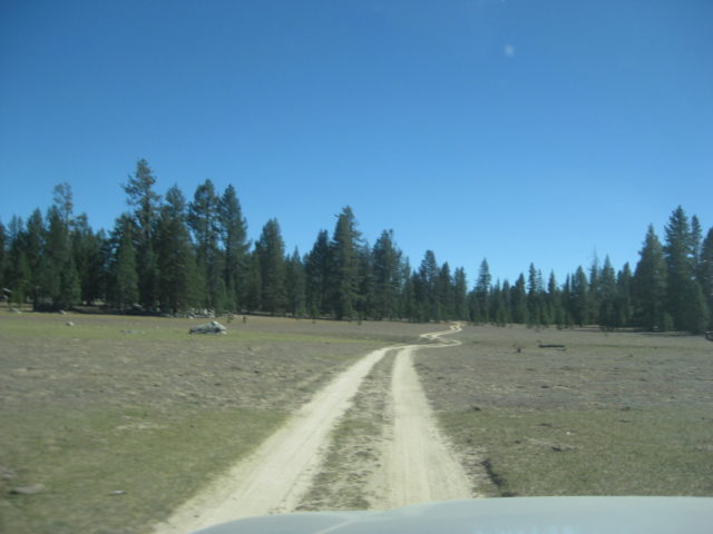
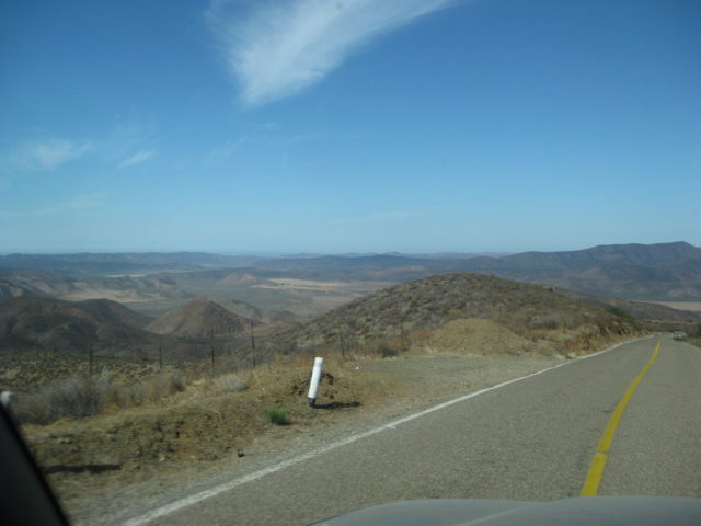
Back to the highway junction to head up to the San Pedro Mártir. The junction is 130 feet above sea level. This (now) paved road goes 100.5 kilometers (62 miles) and climbs to 9,280 feet above sea level!
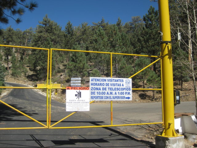
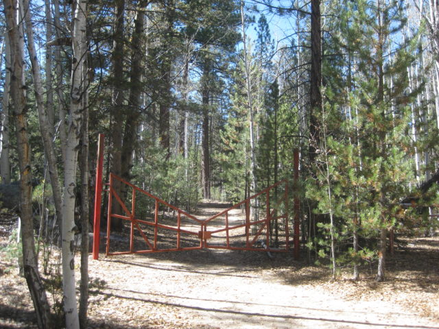
There is a gate at Km. 97.5 (elev. 8,705′) only open for three hours (10 am-1 pm) unless there is work going on at the telescopes. There is no view other than of the trees at the gate. Time your trip to arrive early and hope you can get through. A call box is at the gate where you are to ask it be opened. The call box was out-of-order.
ROAD LOG:
0.0 Highway 1, elevation 130′.
4.2 Narrow bridge
5.6 San Telmo (now a ghost town) was an important visita od Mission Santo Domingo and a farming supply center until recent years when many have moved down to Highway 1 for more opportunity.
11.3 (Km. 18+) Hacienda Sinaloa a town of farm workers with one small store.
17.0 (Km. 27.5) Road right goes into the hills to Valladares and Santa Cruz.
17.6 Signed road left to Ranchos (Las Choyas, Cortez, El Papalote). Road begins a steep climb.
22.0 1,000′ elevation.
24.0 2,000′ elevation.
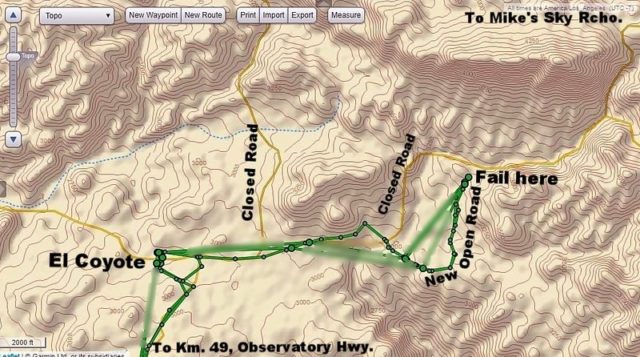
30.3 (Km. 49) Road north to El Coyote guest ranch (rooms, camping, meals).
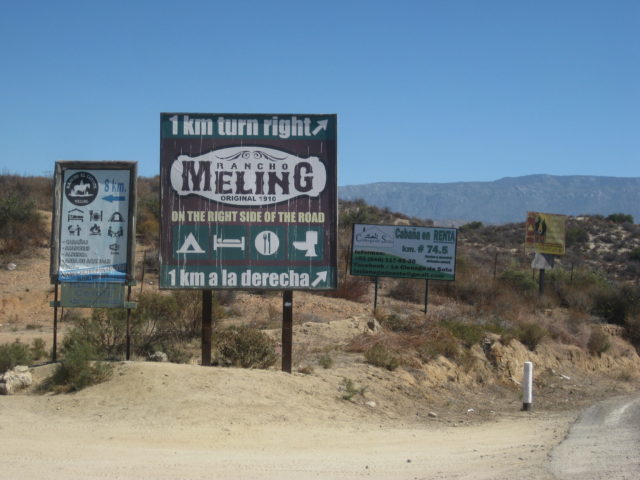
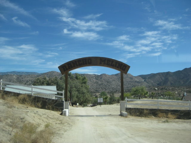
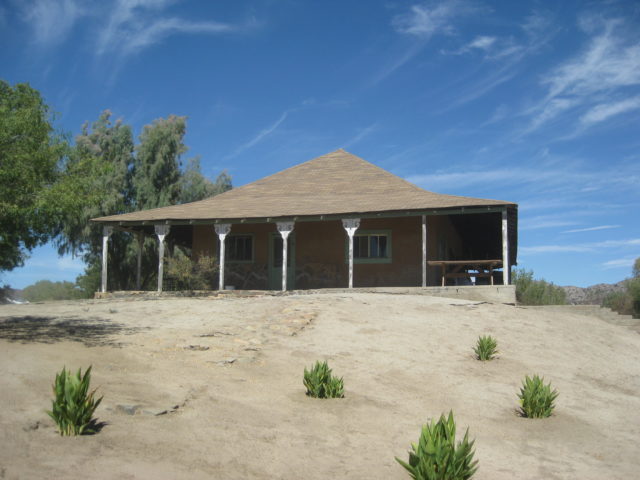
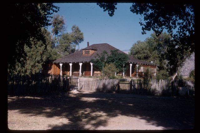
30.6 (Km. 49.5) Road to right to Meling Ranch, a guest ranch with a long history. Rooms, meals, camping, airstrip.
34.0 3,000′ elevation.
39.0 4,000′ elevation.
39.3 (Km. 63.5+) Road south to El Potrero.
40.6 (Km. 66) Socorro mine site. Not much left from the early 1900s when the Meling/Johnson family worked the placer goldfield. A water ditch was constructed about 1896 by Harry Johnson for some 20 miles along the mountainside from the San Rafael River for the water needed at Socorro.
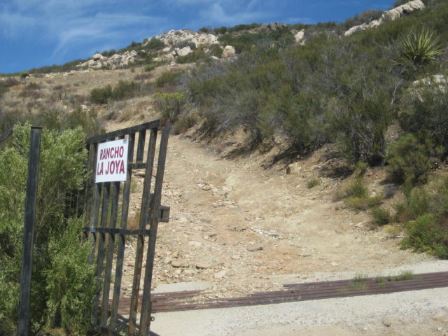
41.6 (Km. 67+) Road left, signed to La Joya. Badly eroded from last winter’s rains, this ranch and the former Dark Skys Inn (Rancho La Concepción) was once reached this way, but today may be impassable.
43.4 (Km. 70) 5,000′ elevation.
45.0 6,000′ elevation.
45.2 (Km. 73) Fire break road to the right (yellow gate).
Km. 73.5+ Road right 0.3 mi. to the former Los Manzanos RV Park/Campground. Abandoned.
Km.74.5+ La Cienega de Soto resort project.
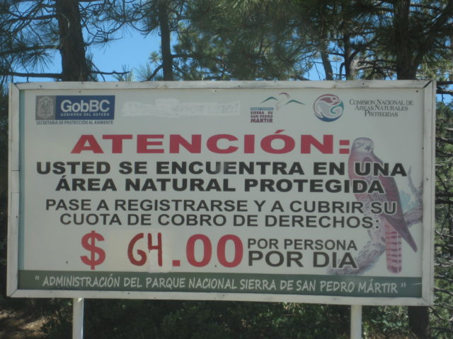
48.1 (Km. 77.5) Former park entrance payment gate, ex-ranger station (6,800′).
48.6 7,000′ elevation.
51.0 8,000′ elevation.
51.7 (Km. 83.5) Park Entrance Payment Ranger Station ‘La Corona’. Elevation: 8,259′.
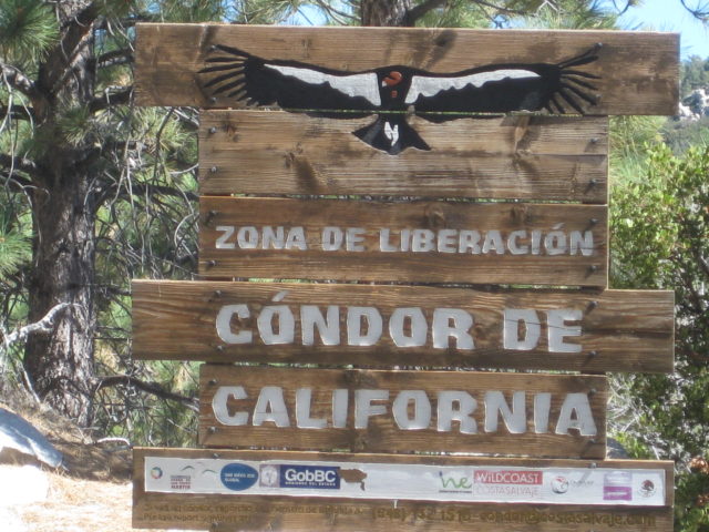
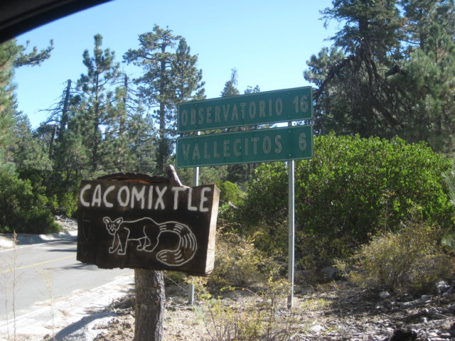
Km. 84 Campo Cacomixtle, El Condor, Cimarron, and more, on both sides of the highway.
Km. 86.5 Capilla San Pedro. A small chapel on a hilltop.
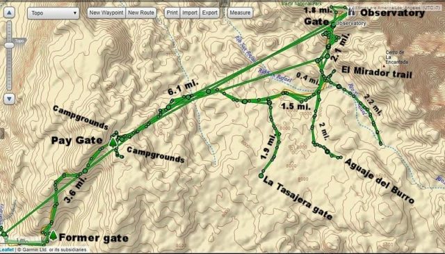
56.3 (Km. 91) Road south for La Tasajera (10 km.). Locked gate at Mile 1.9.
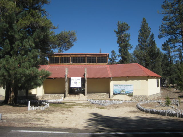
56.8 Museum (closed).
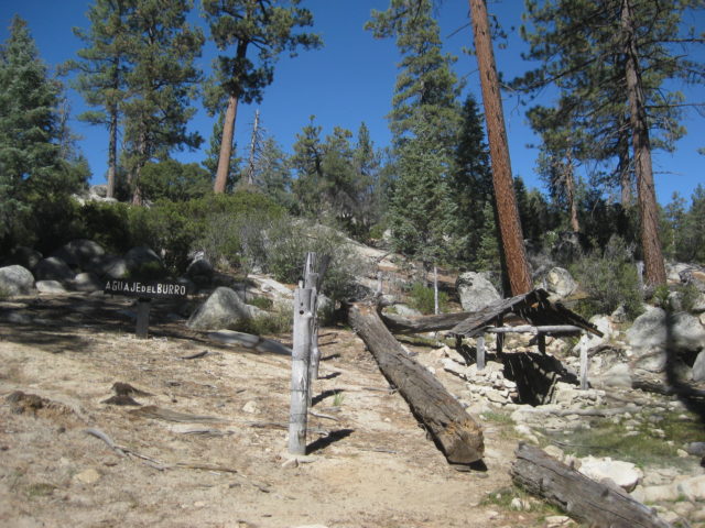
57.8 (Km. 93+) The Aguaje del Burro road to the right goes 2.0 miles to a covered spring. This was an old cattle camp.
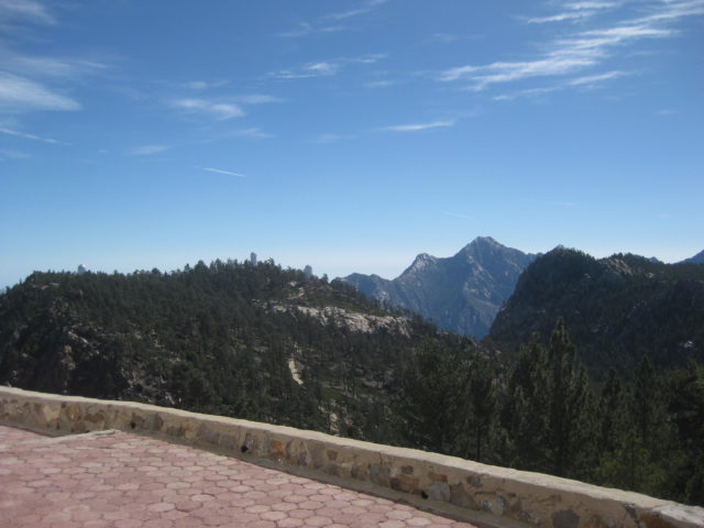
58.2 (Km. 93.5+) Mirador El Altar road right (elev. 8,000′). It is 0.3 mi. to the El Mirador trail. A right fork just off the highway goes 2.2 miles to a pretty area.
58.9 (Km. 94.5+) Pass a military camp and a side road left to the Venado Blanco trail.
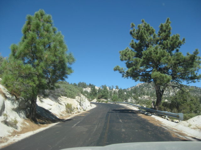
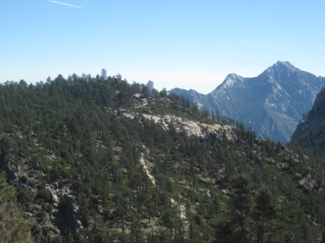
60.3 (Km. 97.5) Parking area (left) and gate restricting access to the observatories. 8,705′. A phone box on the left (out-of-order) to request passage. It is 3 kilometers and over 500′ higher to the end of the road at Mexico’s largest telescope.
61.2 (Km. 99) 9,000′ elevation.
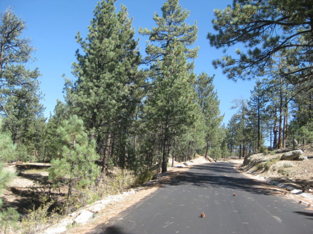
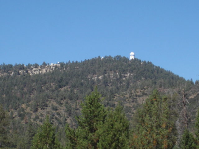
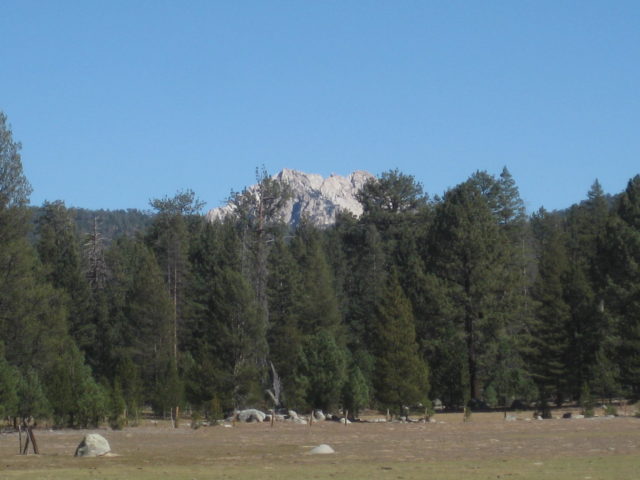
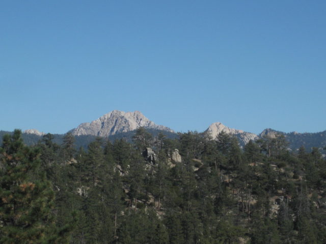
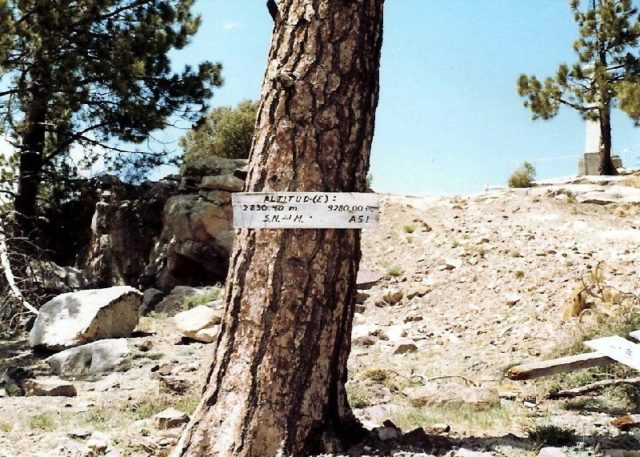
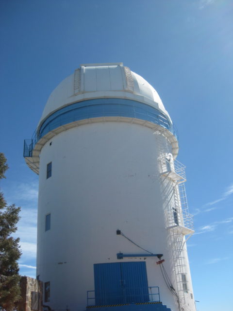
62.1 (Km. 100+) Elev. 9,280′. The highest point reached by automobile in Baja California. The national observatory.


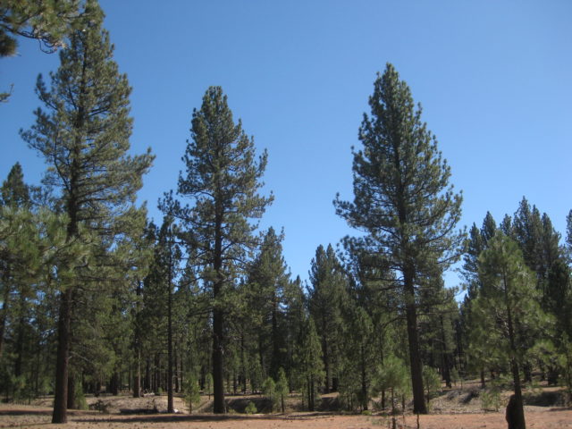
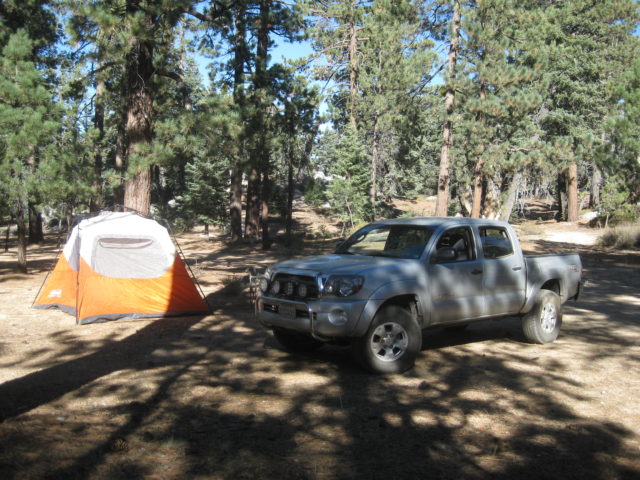
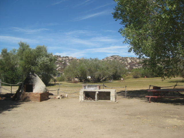
Just past the ranger station are several camping areas, each named for forest animals. Some are near the paved road and others are a ways off the road. Most have trash cans, pit toilets, and a few have fire pits and bar-b-ques. Note, that once you pass these signed camping places around Km. 84/85, there is no camping allowed. The rest of the park is for day use only.


I turned around and took the time to check out many of the signed side roads off the paved road.

END OF DAY 4.
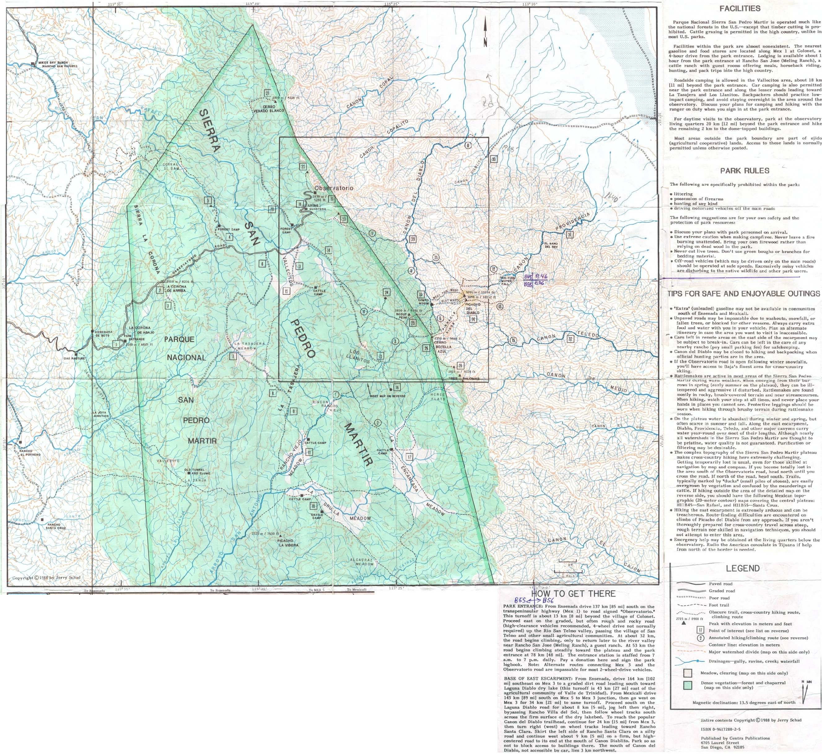
In 1988, Jerry Schad published an excellent map for Sierra San Pedro Mártir hikers: Here. On the reverse side is a close up of the area from the observatories to Diablo Mountain: Here.
Tomorrow, the observatory (I hope)!
DAY 5 (SAT Oct. 14, 2017): Observatories, Meling, El Coyote, and what the heck?
Saturday October 14, 2017:
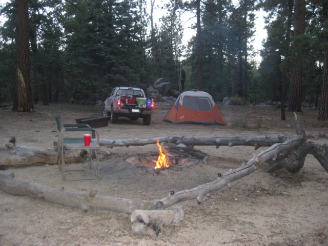
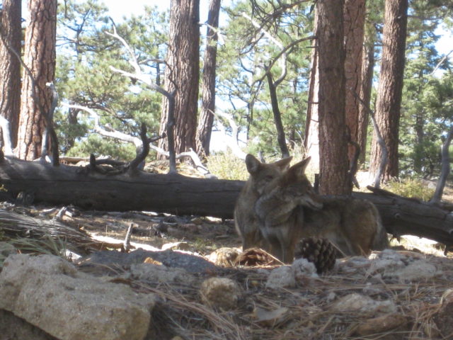
The overnight at 8,200 feet was not so bad. I had a fire for awhile then a warm bed in my tent for the night. I heard coyotes just once and some distant camper’s noise, but not bad.
I let the morning sun shine on the tent while I had hot cocoa, OJ, and some Life cereal. All was good!

Leaving camp before 10 am, I did take note of the many camping area names. Each area has several camping spots.
They include:
Campo de Cimarron
Campo el Condor
Campo Cacomixtle (where I stayed)
There are also cabins for rent near the ranger station (entrance gate).
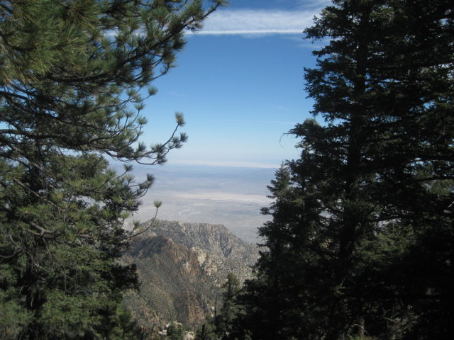
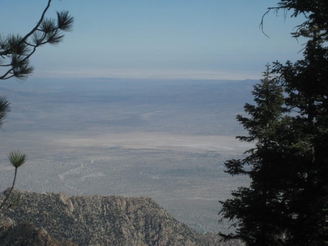
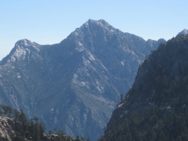
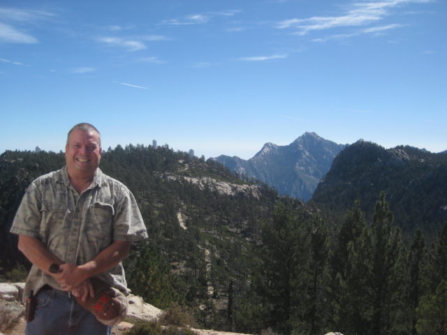
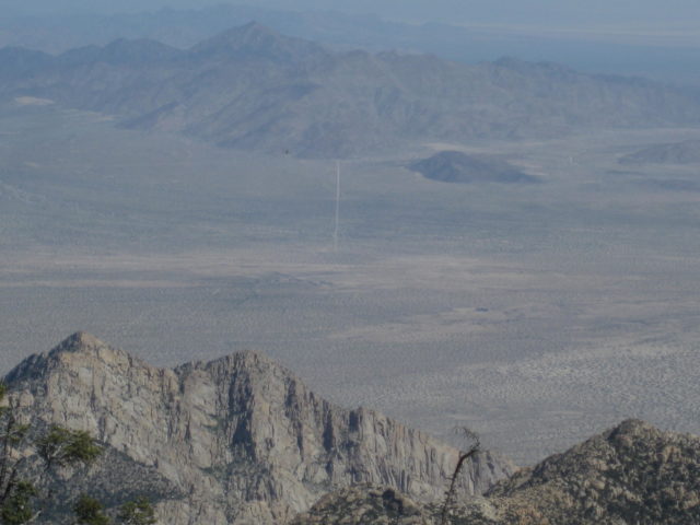
My goal was to get to the observatories, more to see the view of Diablo Mountain and the desert below than the telescope buildings.
I arrived at the gate shortly after 10 am (when it was advertised to be open), and it was closed! There was another car parked over to the side in the parking area with a few people and one soldier from the base below. I just stayed in the road at the gate waiting for someone to come down and (hopefully) open it for all of us. Another family arrived while I waited.
Maybe 20 minutes passed and a vehicle came down from the telescopes (which are 3 kilometers away and 500 feet higher, on the ridge). After he chatted with the others through the gate I walked to him and learned it wasn’t open yesterday or this morning because of some maintenance going on with the telescopes. Because I only wanted to take photos for all of you and the new guidebook and get a GPS reading, he said for me to wait 30 minutes. The other two vehicles full of people left and 45 minutes later, he came down. I noted he was wearing a Superman shirt and he said that was because he was the “supervisor”!
He couldn’t get the electric gate to open so he invited me to ride in his truck. How cool was that! He told me that normally the gate is closed but during those three hours each day (10-1), you can use the call box to get the gate opened… only the call box was currently out-of-order.
I recall he said he has been working there for 9 years. 15 days a month up at the observatories and 15 days in Ensenada at sea level. Prevents elevation sickness.


I am making many notes of the kilometer markers and elevation as well as taking a small side road to see if I could find the (former) Los Manzanos Campground and tiny RV park… I did!
There is a big gate in a wide open field on the south side of the highway (Km. 73.5+ (just downhill a bit from the Km. 74 marker. Traffic can access the location by driving right past the gate into the abandoned facility.
Los Manzanos was named for the apple trees once here. A ranch house, shower/bathroom building, and the camping area were around it all. Now, the ranch house and bathroom building are all that remain. Weeds have filled in and some gardening looks to have been going on, with drip irrigation tubes.
There was a big spring here, against the hillside and the astronomers used to get their water from it. This was back in 2000 when I was here last.
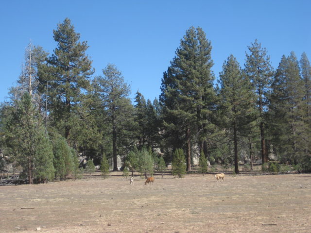
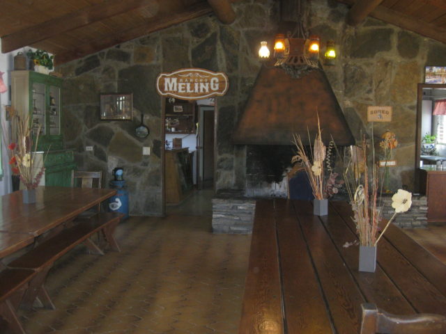
Once off the larger mountain, I went down the dirt road from the highway to check out the Meling Ranch. It is a guest ranch with an airstrip and people have enjoyed the hospitality of the Meling family for over 100 years.
Next, I go the 6 miles from Rancho Meling to Rancho El Coyote-Meling.
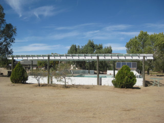
It is about noon and Larry and his friends have not yet arrived. The chase truck with two ladies was there and Andrea was enjoying the poolside sundeck. I collected the price details then went over to meet Michael Diogo, who is a friend to dirt bike riders and a solar electric specialist in this region of Baja, down to the coast. Larry told me to look him up before trying to go to Mike’s Sky Rancho.
Michael was very nice but believed the road was too badly destroyed by rains and the recent Baja 500 for my nearly stock truck. I told him I would be careful and see how far I would get if not to the Sky Ranch, about 12 miles away. To complete my data collecting on this trip for the future road guide, getting to Mike’s and on the Hwy. 3 was pretty important.
Well, almost immediately, the road was very ‘dippy’ with ravines that almost wanted to hang up my rear bumper or stub my front. That didn’t happen, but at Mile 3.7 from El Coyote was a short steep climb up a granite boulder and was easiest done with the A-TRAC* in low range.
(*Active Traction Control, a system that nearly locks the front and rear tires to rotate equally and eliminating the spinning caused by open differentials.)
The Tacoma mastered the climb. I stopped on top.
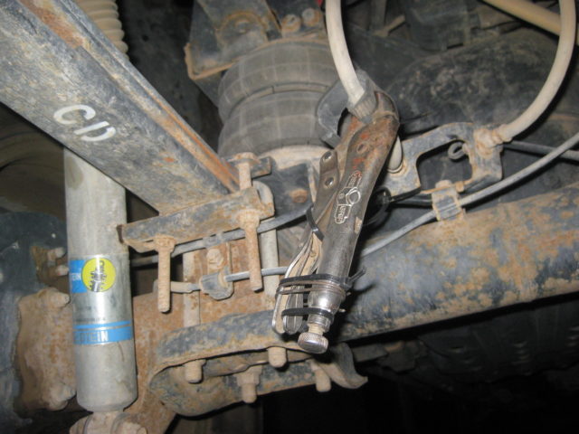
When I parked to get a visual of what was ahead, for tire placement, and got back in, released the e-brake and put the truck in Drive… the brakes on one side (left) stayed locked. Thinking the hot front disc was just sticky, I rolled on. However, there was a distinct thump-thump and feel!
I then thought the brake pad was either cracked or a rock got lodged in it?
I parked and thought about the situation, sent a couple emails (using the inReach satellite device) alerting my friends to contact me (for advice). Knowing lots of help was less than 4 miles away, I decided to see if I could drive it back to El Coyote, and I did.
I parked by the pool and visited with Andrea as we waited for Larry (‘bajatrailrider’) and the guys to show up. Maybe an hour later I decided to plan on camping there and was going to drive onto the grassy area for camping. That’s when I noticed the liquid on the inside of my left rear tire… brake fluid. Until then, I presumed the problem to be my front brake pad, not the rear drum brakes (which get very little wear and these were the original brakes that came on the truck). Yes, my mechanic checked them last time I replaced the front pads and they did not need replacing.
Larry and the guys riding with him arrived and he gave me a pair of vise grips (adding a strip of rubber from Michael) to pinch off the rubber brake line going to the rear wheel. That was all I could do until getting to a mechanic. Nobody had brake fluid up there so I would watch the remaining half inch in the reservoir as I drove down the mountain, the following day.
I set up camp and had a fantastic dinner with Larry and his friends that evening… followed by a huge campfire outside the cabins, with fun conversations. I slept well but was seriously bummed that my last full day of research and the drive back to the border from where I planned to be (Laguna Hanson) was not going to happen.
End of Day 5.
DAY 6 (SUN Oct. 15, 2017)
Was loaded up and left El Coyote at 9:40 am. Said goodbye to Larry and his friends with last-minute warnings to me to not use brakes heavily and downshift instead. Stop frequently to check brake fluid level. If it drops then I could add engine oil, coke, even urine… just so long as to not let air get introduced into the system!
I checked it three times coming down the mountain and there was no problem or drop in the fluid level.
At Hwy. 1 in the town by the observatory junction (San Telmo de Abajo, in the Almanac), the auto parts store was closed (Sunday) that Larry said I could find brake fluid to buy. Next, the Pemex station just north at Km. 139. They sold little bottles of brake fluid for under $2 (32 pesos)… I got two.
Gas was 16.25 pesos/ liter and I took on 46 liters for 750 pesos (178 miles traveled = 14.6 mpg).
In Ensenada (and Maneadero) with so many full stops to make, it was really taxing the brakes to begin rolling each time as there was usually some grabbing or rubbing of the shoe to the drum.
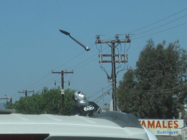
At one intersection in Ensenada was this silver guy juggling shovels on a step stool!
I got to the Tecate borderline wait at 3:15 Sunday afternoon and was across the border at 5:00 pm.
Home at 6:30.
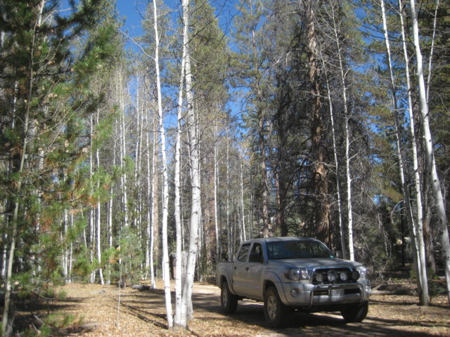
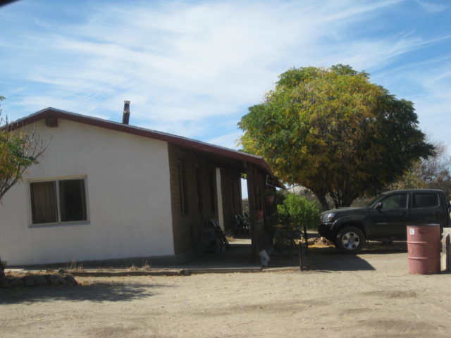
I took this photo of the Baja-Fix that got me home… Thank you, Larry, I owe you (vise grips +)
END OF TRIP #7 REPORT.
In August of 2018, I was able to return for TRIP #8 to research the Sierra Juárez road, Highway 3 (both parts) and a check of Highway 5 construction progress.
Thank you for coming along! Enjoy more of Baja California at https://VivaBaja.com