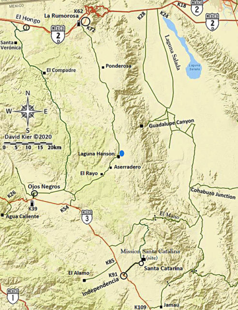
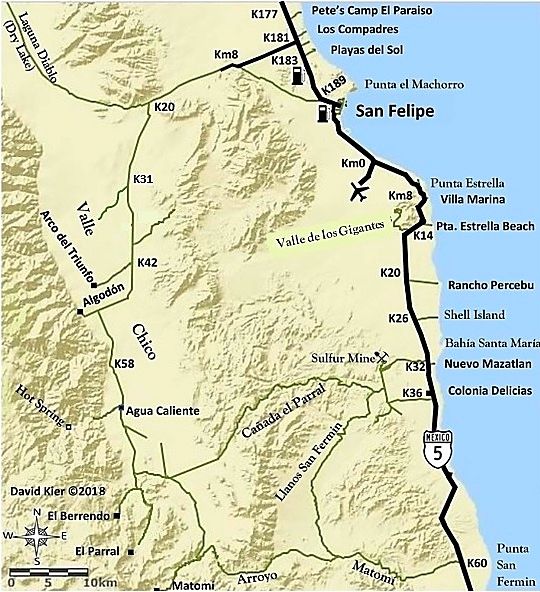
Highway 3, Tecate to Ensenada to Highway 5 then south to San Felipe and on to Laguna Chapala. Sierra Juárez road to Laguna Hanson and on to Highway 2.
This has been a long time coming, to get the final Baja Bound research trip done, but Baja wins in the end!
What I mean is, this was the final Baja Bound Road Guide research trip to make up for the 2 days I lost last October due to my brake fail between El Coyote and Mike’s Sky Rancho. Thanks to ‘bajatrailrider’ (Larry), I made a field repair and got my truck back home and to my mechanic.
So, the road guide was missing my detailing Hwy. 3 (other than Valle de Trinidad to Hwy. 5) and the Sierra Juárez road passing Laguna Hanson.
Well, I cleared three days this week and not only covered the rest of Hwy. 3 and the Sierra Juarez road, but I did a run south past Gonzaga Bay to get the latest details on Hwy. 5 construction since I last was over in August 2017.
I left North County San Diego at 7 am and crossed at Tecate about 8:30. Green light and I tried parking in the empty inspection spot to easily get my new FMM in that building. However, when I asked if I could, naturally I was told no and pointed to the street for parking.
As I detailed before, once you find a parking spot on the one-way cross-street near the crossing, you walk through a turnstile and follow the white line/ arrows north (as if returning to the USA by foot) then across the Mexico entrance street and into the INM office. Paperwork filled out, you are instructed to go back outside to the bank window for payment (180-day FMM). I ask the banker what hours and he said that if he is closed you can pay the INM official inside). INM is open the same hours as the border (5am-11pm) officially. You go back in with your payment receipt and the INM officer does his final stamp. Took about 10 minutes overall. I was the only person doing this. I asked him about the free 7-day FMM and if it still it had to be returned (as instructed the past 2 years at Mexicali INM) or could be thrown away like the 180-day one. I was surprised when he said it should be returned, yes… but it would be “okay” to throw it away!
I was only going for 3 days but did not want to do the return work on my way home… plus, I may go back to Baja again in the next 6 months (I hope).
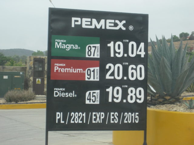
Okay, so I head south and see BP and Arco stations as well as Pemex. Last October, I saw a BP under construction in Tecate. There are still mostly Pemex stations, but the white ARCO stations are really bright and stand out. Also, all the stations are advertising prices since they are allowed to compete and prices for Magna (Regular) ranged between high 18 and mid 19 pesos per liter… with a peso to dollar exchange between 17.60 and 18-something per dollar. In short, 87 octane gasoline was a hair over $4/gallon!
I did a quick stop at the Guadalupe mission/museum location and the Guadalupe Wine Museum (outside) and noted Laja and Mustafa’s restaurant kilometer locations.
Topped my tank in Ensenada: 19.05 pesos/liter; 18.00 pesos/dollar; 16 mpg on this leg.
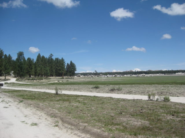
Heading out of town towards Ojos Negros, I saw some gravel on the pavement just past Km. 15 where Bajaguy reported a landslide. All clear.
I had intended to drive into Agua Caliente hot spring resort at Km. 26, but the gate was chained closed… not inviting even though signs said “open”.
There was a military checkpoint just past the Pemex by the Ojos Negros entrance road, waved on. I drove into Ojos Negros and back out.
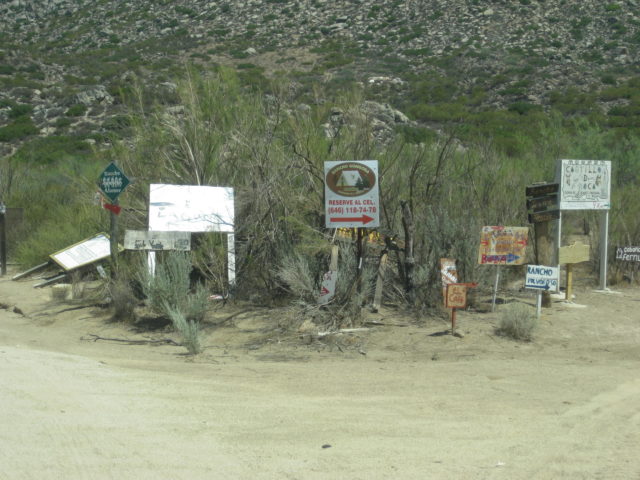
Next, I did a quick stop at the Laguna Hanson/ Sierra Juarez turnoff at Km. 54.5. I would be returning to this spot in 2 days.
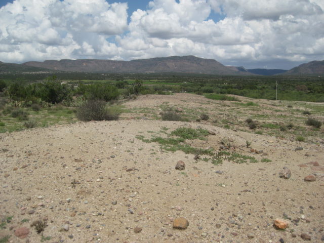
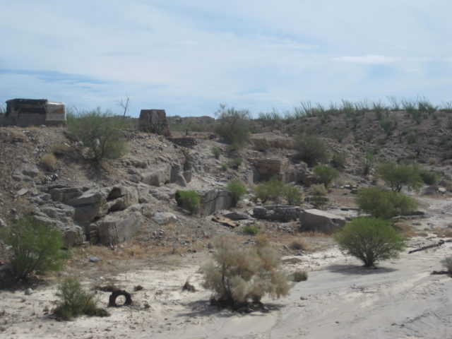
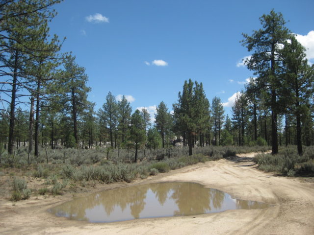
My first side trip was to check out El Alamo, a one-time huge gold mine town. The road is unsigned and the kilometer marker before it is only facing the other lane and hidden by a shrub! It is Km 85 and the graded road to the west for El Alamo is at Km. 85.5.
The road is pretty easy to drive with just one huge puddle to cross. it is 9.5 miles to ‘town’ and it was pretty deserted! A real ghost town indeed. I could not get near the mine structures because of closed gates.


Photos at El Alamo…


OK, so that is about it for El Alamo…
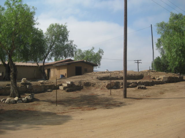
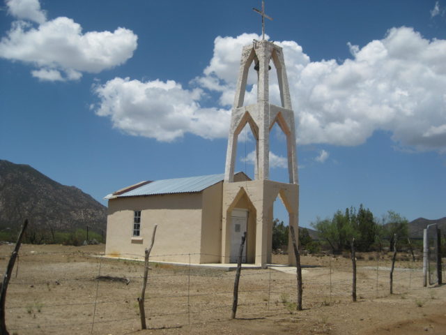
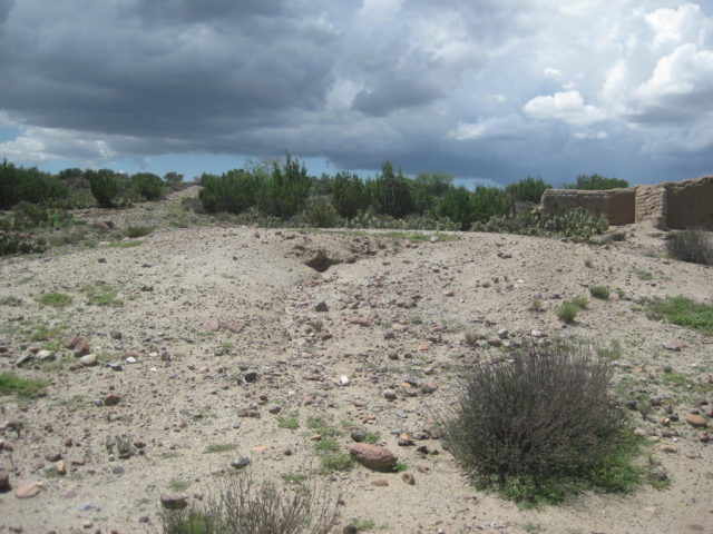
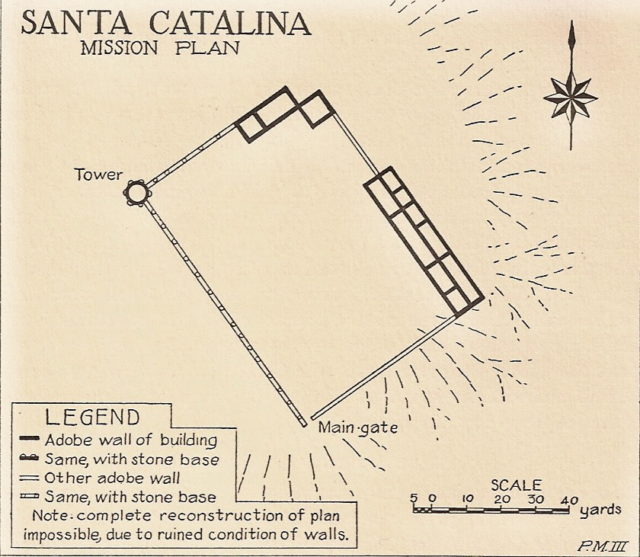
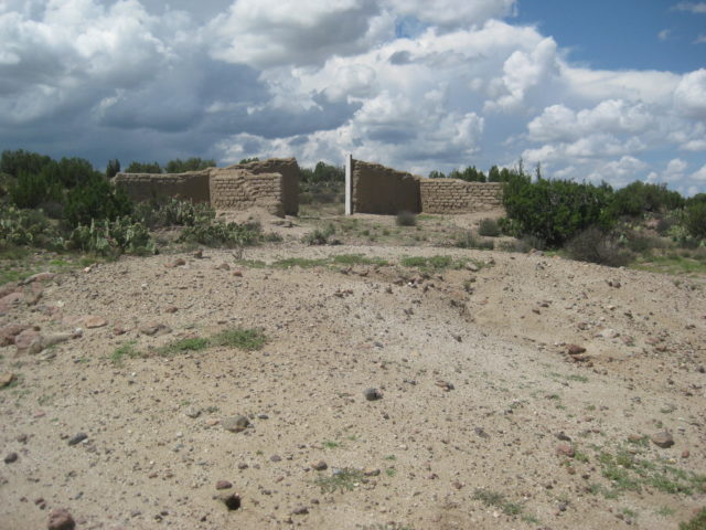
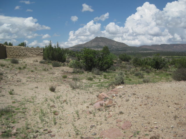
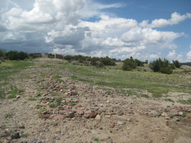
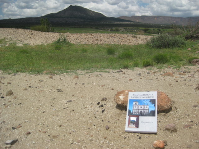
Next stop, the final Spanish mission in Baja California, Santa Catalina 1797-1839.
Mission Santa Catalina 1797-1839
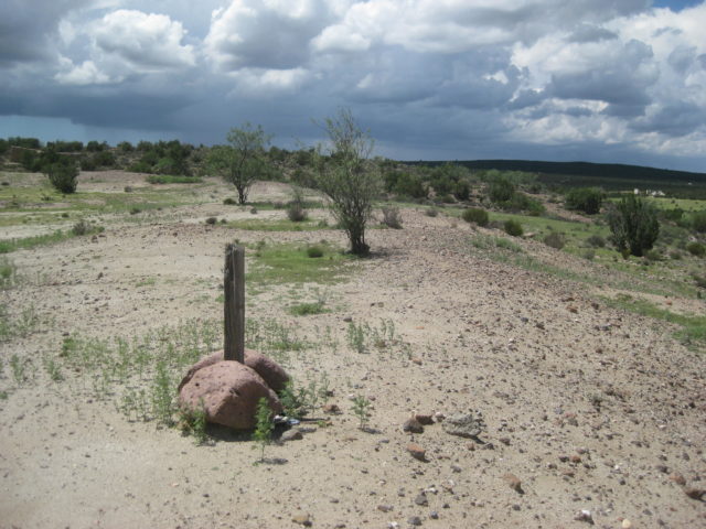
Back out to Hwy. 3, it is just 3.5 miles to Ejido de los Heroes de la Independencia at Km. 91 where the road to the Pai-pai Indian village of Santa Catarina heads east.
My last time down this road to see the mission site was in June 2006 with Baja Angel (Elizabeth) and The squarecircle (Roy). We had just finished doing radio relay help for Baja Pits during the Baja 500, south of Valle de Trinidad. www.vivabaja.com/606
Since then the road has been paved (concrete) and power lines run the 5 miles. The town is just 1/2 mile from the mission site and has a slightly altered spelling from the Dominican mission.
Where the concrete road ends, follow the power lines down and to the left, passing the large church. Work your way towards the left (north) and over a small hill to the cemetery. Park here or if in a truck/ SUV, you can take the faint road to the left to the top of the hill and park.
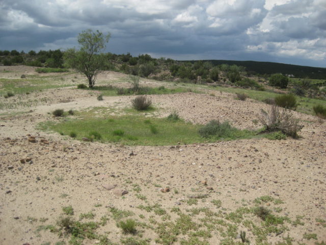
There is almost nothing of the mission beyond the large square that was the compound and some melted walls of a few rooms and the round watch tower and perimeter wall.
Since my last visit, someone had an adobe wall built above or beyond the mission site as some sort of monument, or new entrance, it would seem.
I took many photos and will show just a few here, as they will most likely bore most of you! LOL Ok, a few more…
As I mentioned, this was the last Spanish mission in Baja. The two additional missions (El Descanso, Guadalupe del Norte) were established after Mexico’s independence, making them “Mexican missions”.


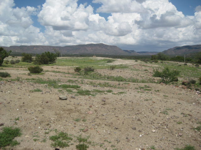

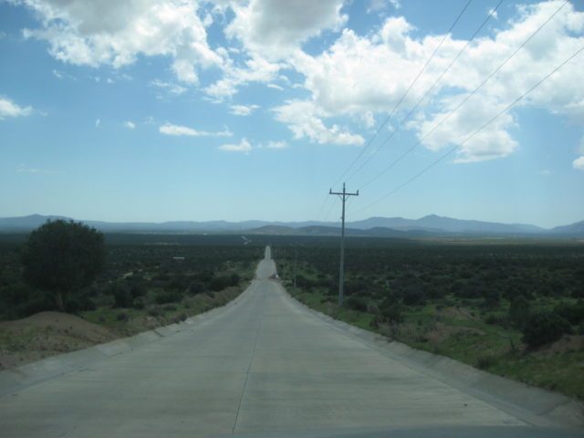
Continuing on Hwy. 3 past Independencia…
At Km. 109 is the road to Ejido Jamau and an off-road m/c rider resort:

At Km. 117.5 is what Score calls the “Goat Trail” or race course in or out of Valle de Trinidad. In fact, it was the Ensenada-San Felipe main road before the highway was built in the mid-1970s. Originally it was BC Hwy. 16.

Valle de Trinidad entrance road (and one of two Pemex stations here) is at Km. 120+ (a plus sign means about 1/4 km past the sign).
The orphanage made famous in the movie Dust to Glory, supported by Malcolm Smith, is at Km. 130+
The short way to put “Mike’s Sky Rancho” on a sign…

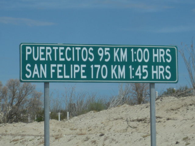
At San Felipe, I get gas at the “ejido” Pemex (Km. 184) after hearing good things about it from PaulW. Indeed, it seems like honest pumps and good persons working there. Magna was 19.35/liter and the exchange was 18.35:1 dollar. My truck took on 37.2 liters (9.8 gal.) for 185 miles giving me a great 18.9 MPG! I love ethanol-free gasoline!
It is 4:40 pm and I head south to see if the tides will allow me to get across the marsh/muddy salt flats to Shell Island. It is just after a new moon and it was really high.
Well, there was water in low spots but the flats were not underwater (I have crossed these when I could not see the ground, just the shrubs, more than once).
About halfway across the flats, I sink in… oh balls!
I put it reverse and try to back out… I am in low range and my A-TRAC is always on in low range. However, my tires can do nothing more than spin in the goo and A-TRAC hates spinning tires (as it is useless to spin, typically)…
One last resort that the Tacoma has, a rear locking differential (“for emergency only”, says Toyota). When the rear is locked, A-TRAC is disabled under 3 mph and only works on the front tires in that situation. This forces the tires to spin (in back) and I get out. Good thing, as I am alone, and nobody is in Baja in August, except the most sincere Baja lovers!
I back out of the goo, and since my truck is now got mud splattered, I take a different tack and that worked!

I go for a swim, make dinner, and sleep well. I see some meteors when I wake briefly before sunrise while it is still dark and a moonless sky.
END OF DAY 1 (Wednesday, August 15, 2018)
DAY 2 (THU Aug. 16, 2018)
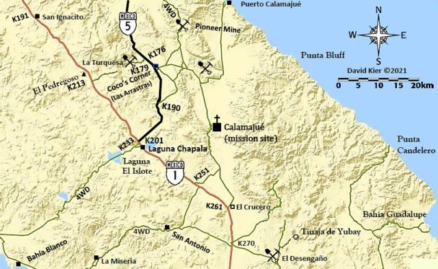
Let’s see what’s happening on Hwy. 5 to Chapala!
It has been exactly one year since I last was over Highway 5 to the very south end.
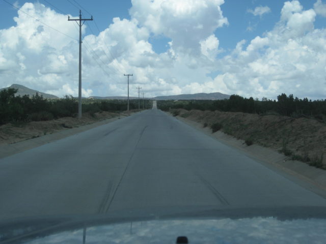
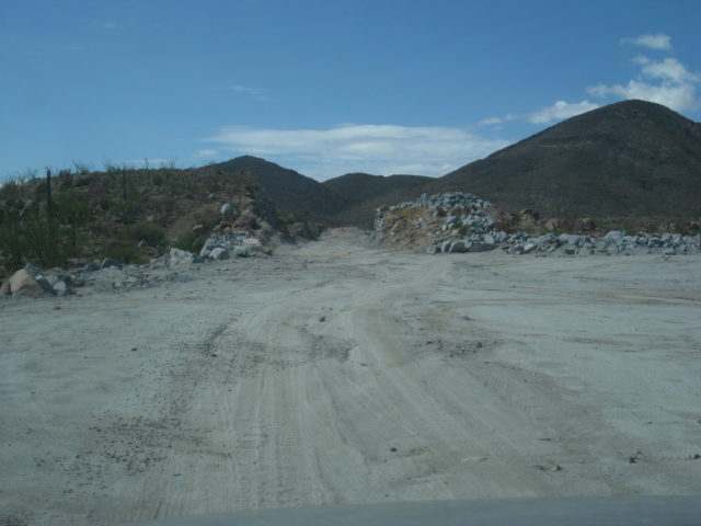
In brief, it appears as if Mexico has abandoned this project of finishing the highway, other than adding some blacktop to the stretch of new road in the Chapala Valley (and have not connected the south or west end of it, 1 mile from Highway 1). Basically nearly nothing in one year. I could drive the north end new roadbed with no problem and using the nearly one added paved mile from Km. 167 (where the pavement ended in 2014).
The Coco’s Bypass (as we call it) was basically done except for the southern mile, which is through the mountain ridge and into the canyon (where the worker camp is located). After weeks or months of neglect, rainwater has begun eroding the sides of the road. It is not well cleared or finish graded. It is as if they just left the job uncompleted. So close to being done, too. A rough detour or access road goes down to the current Coco’s route.
The worker camp has all the heavy Caterpillar equipment parked… almost nobody was there… but smoke was coming out of the kitchen shack. There was one backhoe working on one of the ridge cut and I saw one water truck being driven.
I have GPS track maps and mileages to share. I can’t be the only one who likes to know the location of new roads in Baja, can I?

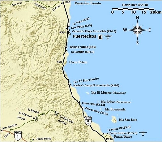
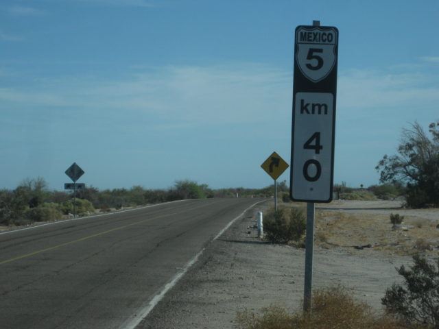
First, let’s talk about where the workers are working… if they are the same ones? The new Hwy. 5 stretch from Arroyo Matomí to Cowpatty’s, near Puertecitos is getting all the love and putting us onto a 7-mile dirt detour. It begins at Km. 61 (Arroyo Matomí road is Km. 60 and Rancho El Pozo is at Km. 60.5) and ends at almost Km.73, where Cowpatty’s cantina is.

Passing Papa Fernandez’ road, soon come to the military checkpoint. They asked me where I was going and where I came from… no search… and I was on my way!
The Pemex station at Km. 147 is still a Pemex station. There was word of it becoming a Union 76 station… but only Pemex signage. I got gas here on my way back north, later today.
New sign at Km. 167.5, where the detour points you to the older road, alongside the new. However, the paved road continues ahead (as it did a year ago) for about a kilometer and a half. There is even a Km. 168 sign added along the road.
The NEW ROAD to CHAPALA AUG. 16 2018
As I mentioned earlier, except for a small crew, the work is currently dead… and has been dead long enough to the point where erosion is taking away dirt from the sides of the road. They are so close to finishing, the logic of using up all the funds to blast through the mountain, only to not finish it or at least open the completed or near completed parts is hard to reason.
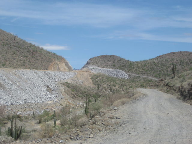
In January 2015 pavement reached what is now Km. 167.5 and over 3 1/2 years later they still have a detour sign pointing off to the older road here.
In 2017, just over 1 km. of new blacktop was added. In 2018, a Km. 168 post was added… and that is it for the north end paving. You may, however, stay on the new roadbed over the bridges to Las Arrastras and decide to take the detour or old road via Coco’s Corner or if you are in an SUV with good tires and don’t mind a couple of slow miles, take the new route (Coco’s Bypass road) for interest.
Previous to this year, the unpaved section to Highway one was about 23 miles, via Coco’s Corner.
Mile 0.0 (KM. 167.5) A detour road goes right, log continues on the new road. Most traffic still using old road, some use new, going around a small sand berm. There are no missing bridges or hazards other than fallen rocks if using new highway route here.
Mile 0.3 (KM. 168) The last kilometer sign noted.
Mile 0.7 End of paving.
Mile 1.1 Another detour road down to the right to the older road.
Mile 1.6 On a very high bridge. Seen from older route below and to the west.
Mile 2.4 Detour road/old road crosses new. All traffic now uses the new road from here south.
Mile 3.3 Road west to La Turquesa Canyon (not driven this trip).
Mile 5.3 Detour route forks left to the old road via Coco’s Corner. Most traffic still uses. Log continues on new highway route.
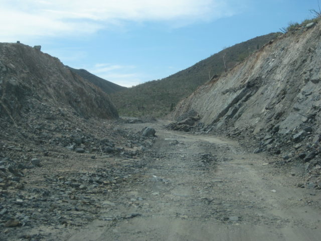
Mile 5.5 Las Arrastras Bridge. See caves and large arrastra (gold ore grinding wheel) down to the east of the highway. New road bed heads upslope, cutting through ridges. Road base never completed, many rocks to dodge and rain erosion for apparent abandonment of the project.
Mile 10.1 Leave new roadbed (which ends ahead at top of the mountain cut) on detour/access road going down 0.9 mi. to the older road, south from Coco’s Corner. This is an SUV/truck/4×4 style road.
Mile 11.0 On old road, damaged construction sign and orange cones are all that mark this junction.
Mile 11.8 Construction camp, parked equipment, almost no activity.
Mile 12.4 New highway will junction about here when completed, coming over the mountain from Mile 10.1 above. This will cut approx. 1 mile from this logged distance when open.
Mile 14.0 Pavement.
Mile 15.5 Detour right, off the pavement to the older road for most vehicles.
Mile 18.5 End of pavement, large sand pile on road, only deep dust (silt) tracks from here to old (detour) road. 1 mile to Highway 1.
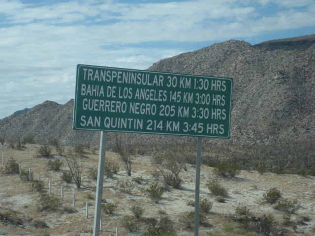
Mile 19.5 Highway 1/ Laguna Chapala/ Km. 200 sign for Hwy. 5 end. I will estimate the final kilometer will be reduced to 197 because with the small detour it is 199 kms and the route will cut about 2 kilometers off when it is pushed through to the canyon.


I turn around and head back north towards Gonzaga Bay.

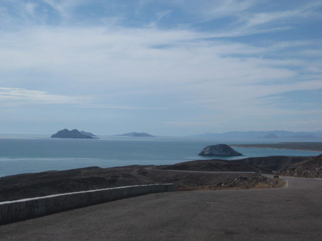
Gonzaga Bay… or Ensenada de San Francisquito!
Yes, technically Gonzaga Bay is the small harbor between Papa Fernandez’ and Alfonsina’s. The bigger, open bay from Alfonsina’s to Punta Final is the Ensenada de San Francisquito. But, hey, nobody wants to say all that! Gonzaga Bay works for both!
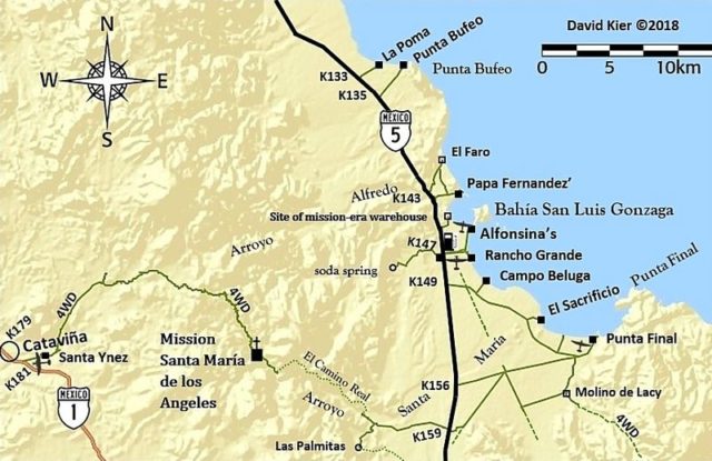
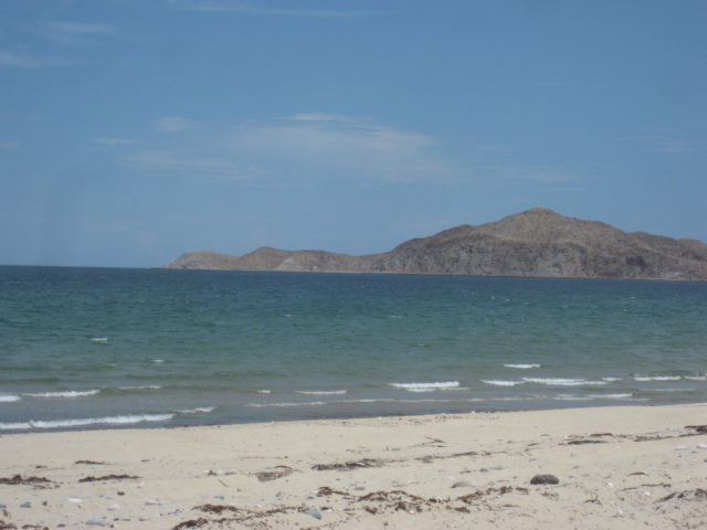
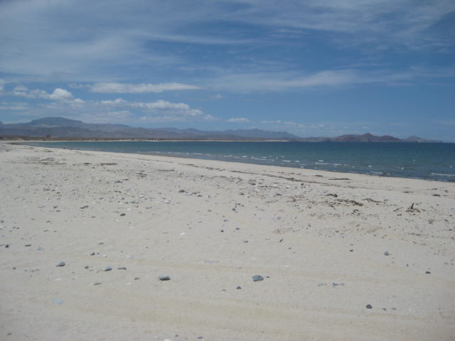
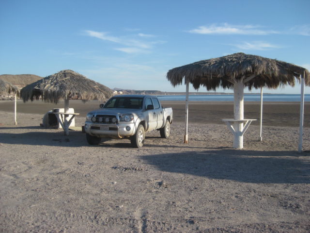
I go to the bay between El Sacrificio and Punta Final, where I camped at New Years week 2017. A nice break from all the driving was needed. I had no shade, but it was only 91° and some high clouds eased up on the sun.
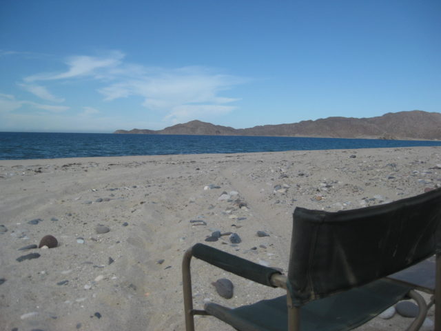
A bit later, after I take a soak…
I go around the area to collect a few twigs to add to my artificial log for a fire when it gets dark… and I see weird stripes ALL OVER the place…
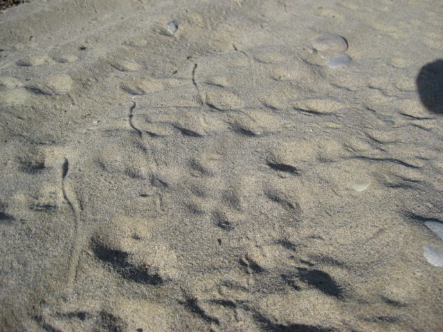
I folded my chair, got in my truck, and left! LOL
I got $25 worth of gas at the Gonzaga Pemex… 22.6 liters, 445 pesos. It was 17.80 pesos per dollar and Magna was 19.69/liter. The attendant was a young guy on his cell phone texting (service at Gonzaga or wifi?) but very nice! 20 peso tip!
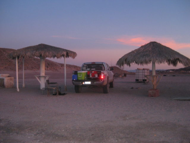
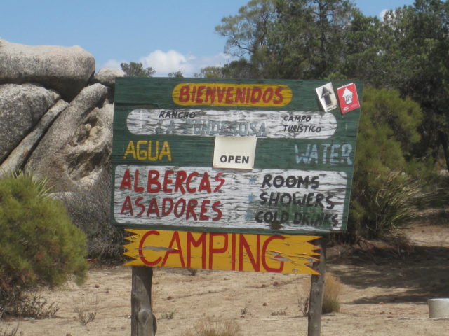
I drive north, a fast stop at the checkpoint, and am wondering where to crash for the night. I pull off on the Puertecitos paved sideroad (Km. 74.5) and very soon is Octavio’s Playa Escondida. It is hot, getting dark, and no other campers are there. Manuel tells me normally it is 250 pesos, but 200 is fine. I pull between palapas and make dinner.

DAY 3: Friday Aug 17, 2018: Puertecitos to Laguna Hanson to Tecate
Can you guys believe it but I have never been to Laguna Hanson!
Close, from the north… but not to this famous body of water (or mostly mud) named after a murdered American… Here’s what I researched for Cameron Steele’s Trail of Missions 2017 Itinerary:
Laguna Hanson: A shallow lake named after an American rancher who arrived in the area in 1872 and who was murdered in 1880, nearby, at Rancho El Rayo. A fellow American named Harvey was found guilty of killing Hanson and cooking his remains in a large cast iron pot.
Great stuff, right?
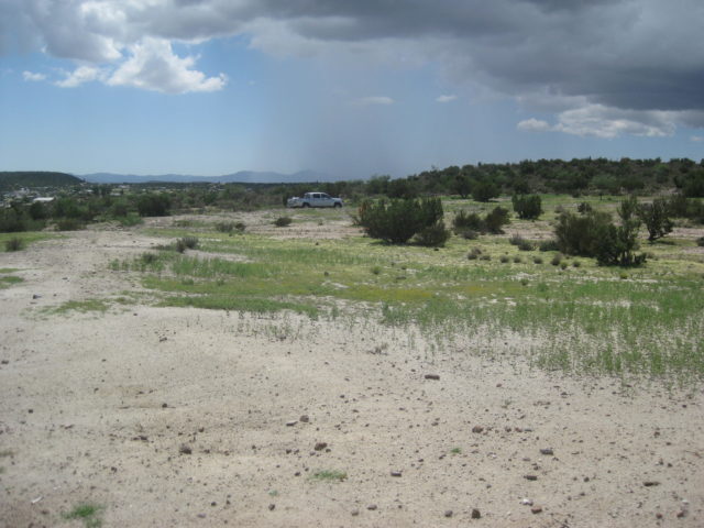
On the way south and on the way north, between San Felipe and Puertecitos, I noted the dozens of campo km. marker locations… I will produce the list and add it to The South Campos Facebook page (and my Viva Baja Kilometer page… if any of you have an interest.


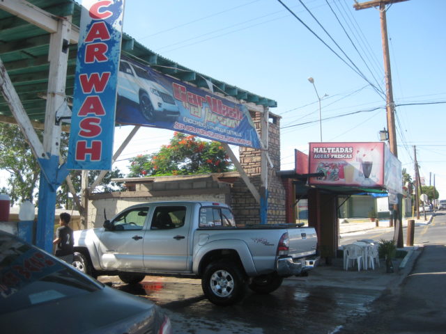
After getting in the salty mud two days earlier, I was so happy to find my favorite car wash open and waiting for business… about 8:30 Friday morning…
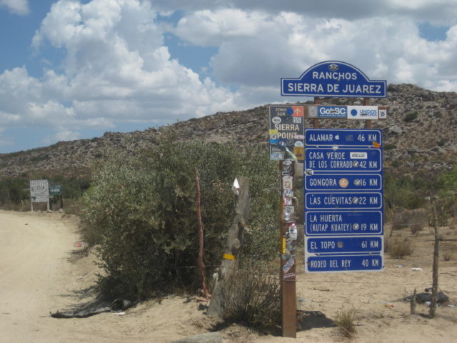
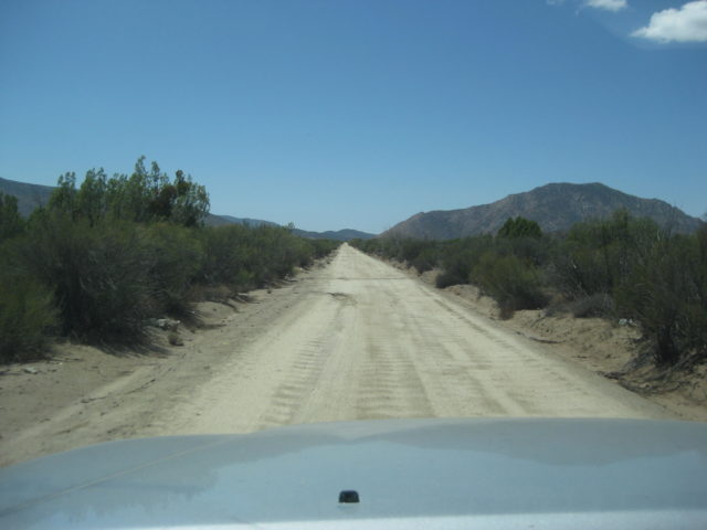
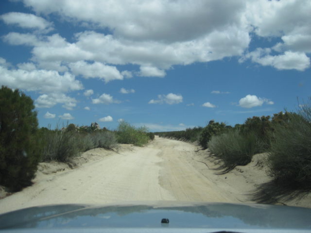
The road to Laguna Hanson begins at Km. 54.5 and there are a few forks along the way, mostly well signed!


Road Log: Hwy. 3 to Hwy. 2 via Laguna Hanson
0.0 Miles Hwy. 3 at Km. 54.5 (from Ensenada).
2.7 Fork, go left
3.8 Fork, go right
4.8 Oak Grove
5.2 Fork, go left (elev. 4,000′)
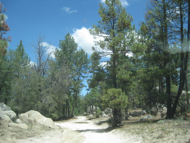
11.2 First pine trees (elev. 5,000′)
13.7 Rancho El Rayo
15.1 Road right to Rancho La Botella, cattle guard crossing.
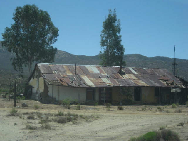
16.2 Aserradero (abandoned homes) a former sawmill, elev. 5,277′.
16.4 Food advertised.
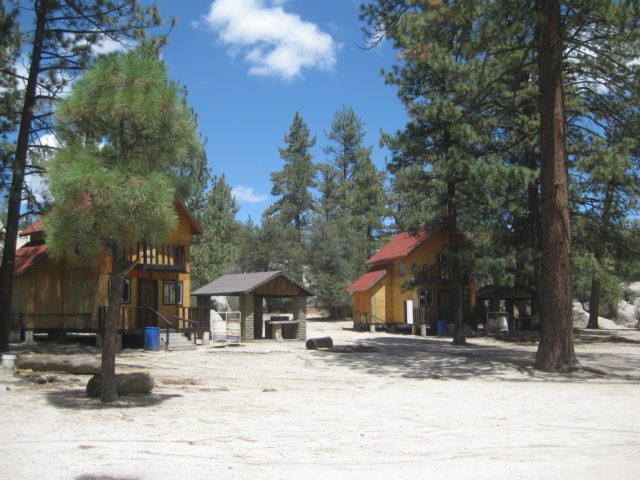
17.5 Cabins for rent, food store “Oxxxo”.
19.1 Fork, go left.
19.8 LAGUNA HANSON (cabins) 68 pesos camping fee, elev. 5,300′
20.5 Km. 60 sign (37.2 miles from La Rumorosa, Hwy. 2).
22.1 Road east to Rancho San Luis… located above the top of Guadalupe Canyon.
23.8 Km. 55 sign.
24.6 Rancho Rodeo del Rey, an abandoned/ deteriorated hotel/restaurant.
25.0 Rancho Bajío Largo road west.
26.9 Km. 50 sign.
35.6 Rancho El Topo road west.
35.7 Km. 35 sign.
40.4 Former mining area of La Milla.
41.4 Condor road west, elev. 4,916′.
41.9 Km. 25 sign.
42.7 Junction with a road southwest from Las Margaritas.
44.4 Road to the east.
45.6 Rancho La Ponderosa road east.
47.2 Km. 17 sign.
48.7 Rancho Nuevo road east
53.1 Km. 7, ‘Inspection’ station, open gate.
55.1 Blacktop paved road begins.
55.4 Parques Los Potrillos and El Tesoro campgrounds.
57.5 Highway 2 (Km. 72), La Rumorosa.
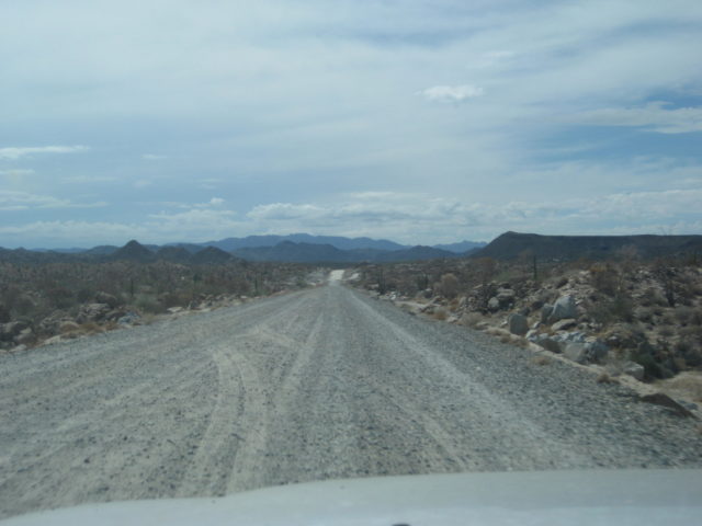
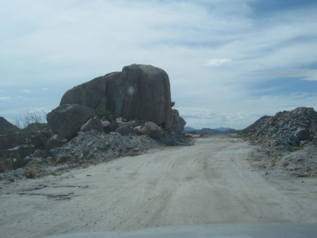
Photos going north from Laguna Hanson:


THE END!
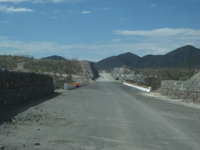
I drive west, get on the toll highway and soon find it is down to one lane wide each way as they convert the blacktop to concrete for several miles.
I reach the border at Tecate about 4 pm Friday and there is NO LINE. One car in front of me and my turn comes and the agent looked at my passport, punched something into his computer, and asked me if I had anything to declare. I was on my way home.
Lots of data to crunch and then incorporate into the Baja Bound Guide including the updating of Highway 5.
The guide may be an online or printed, but either way, it is made to be updated as things change or more roads are added. No guide is ‘current’ as something can change the day after I was there. The idea is to provide recent, detailed, and accurate road and location information to show some of the many interesting places to visit in this fascinating peninsula of California!
Thank you and I hope you enjoyed traveling along with me!