DAY 4 (SAT. APR 22, 2017):
Because the tent was wet from the heavy fog, I wanted it to dry out before packing. It took the sun awhile to burn through the grayness but once it did, things dried up fast. I was on the road at 10 am.
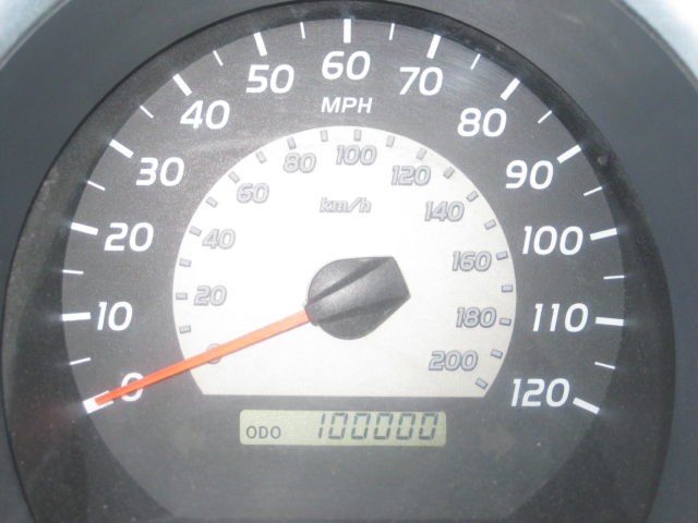
Starting back at the junction of the road south and the Bahía Córbin entrance road, I zero my odometer. Soon, a road comes in from the left. It would appear to be a road up the valley to meet with the others going inland to Rancho San José and beyond? There is a big downhill grade, some road junctions, salt flats, and come to Bahía Blanco in about 15 miles from Córbin. In 18 miles the road becomes a fast dirt highway at the junction to Punta Cono.
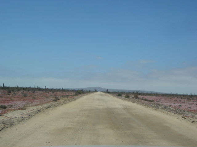
It is 45 mph most of the way to Santa Rosalillita (about 33 miles) on this well-built dirt highway. Only a few spots where rain erosion has eaten away a bit, was in necessary to slow down. I made many stops to explore side roads and take photos. My truck was lightly loaded, my tires were down at 24 psi, and I have Bilstein 5100 shocks all around, so the washboard that can slow down heavier rigs, well, it just smoothed out once I was driving over 35 mph.
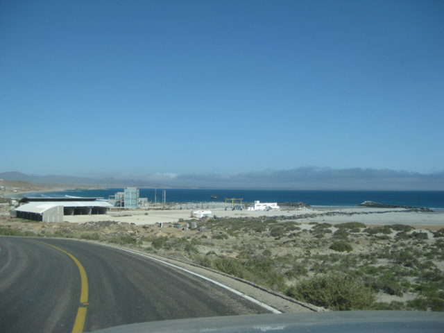
When I got into Santa Rosalillita (a small fishing town on a paved road to Hwy. 1), I saw the Escalera Nautica harbor totally full of sand, but the boat elevator was still there and the buildings, etc. In town, I asked someone for gasolina and I was pointed to the market/ motel ‘Jessy’. The young lady said “No gasolina”. I get that they want to not be in the habit of selling to tourists who may not really need any. I said I was very low and my light was on (it was). I was not sure if I could make it to Villa Jesus María, the closest Pemex gas station, 46 miles away. She consulted with someone inside the store and came out all smiles and directed me to the shed near the store. There, opened up, was dozens of 1-gallon bottles and plastic 20 liter (5.28 gallon) tanks full of gasoline… whatever I wanted! 20 liters would be fine, thank you. It was 400 pesos ($22.60) for the 20 liters. That was only an 80 cent/ gallon markup from the Pemex price, more than fair to have gasoline where it is needed!
I asked about a restaurant and was directed to the yellow house, facing the basketball court, town center. There is a pagoda of white painted tires, in front. Inside, two tables… and meat tortas or halibut for dinner! I ordered the Halibut!!! The owner of the unsigned eatery is Ramona. I asked her if this business had a name, she said no… so, I think to call the restaurant ‘Ramona’s’ works?
I was stuffed, she gave me four halibut filets, rice, beans, tortillas, salad. She had no drinks for sale, so I brought a can of XX from my cooler.
After dinner, I drove out a few miles from the coast, into the desert to camp, where I thought the fog wouldn’t find me! I was wrong!
Road log:
0.0 Bahía Córbin Rd. 10:00am
0.3 Road east (to Rancho San José?)
5.5 Top of big grade going down.
7.7 Fork, right to beach house Punta Vibora.
8.2 & 8.4 Roads left (east) to Laguna Chapala.
9.9 T Junction. Left to Chapala roads (?), turn right.
10.4 Road right onto salt flats, continue on most used route ahead.
12.5 Road right to beach and lighthouse (0.2 mi).
15.2 Road right to Bahía Blanco fish camp, 0.2 mi. Ahead, cross salt flat.
19.8 Junction. Taking road right, across marsh (dry) to follow coast. Ahead goes approx. 4 miles to gravesite ‘Codornices’ (or Las Palomas) on maps, and a junction of roads south and east.
22.2 After crossing the marsh area, and climbing a steep eroded, bulldozed grade, come near a beach. The road then goes east and into an area of silt dust.
28.3 Junction with north/south road. Left (north) goes 4.7 miles to Codornices graveyard. Turn right. 12:37 pm
33.3 Road right to Punta Cono (3.6 mi). Begin, fast dirt highway southbound. Reset odometer to 0.0.
0.0 Punta Cono Road.
3.2 Punta María Road (2.5 mi, abandoned fish camp)
7.1 Camping El Cardón signs, 0.3 mi in. Also known as Punta el Diablo.
8.1 Rancho El Cardón, on the left.
10.9 Road right goes down a hillside to Punta Lobos beach.
17.5 Road in from right to the beach (1.4 mi) and on to El Marrón fish camp (1.9 mi).
27.2 Road right to San Andrés ranch (0.9 mi) and beach (2.9 mi).
31.0 End of dirt highway at a paved road. Right is Santa Rosalillita (1 mi). Left to Hwy. 1 at Km. 38.5 (8 mi).

Photos:

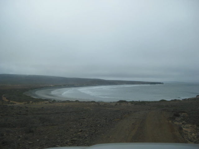

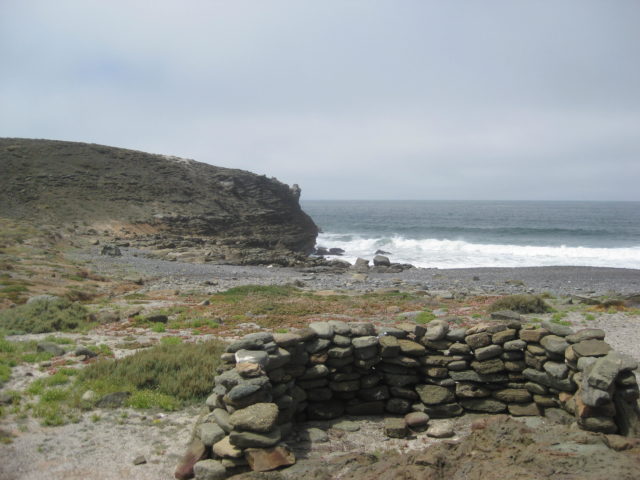

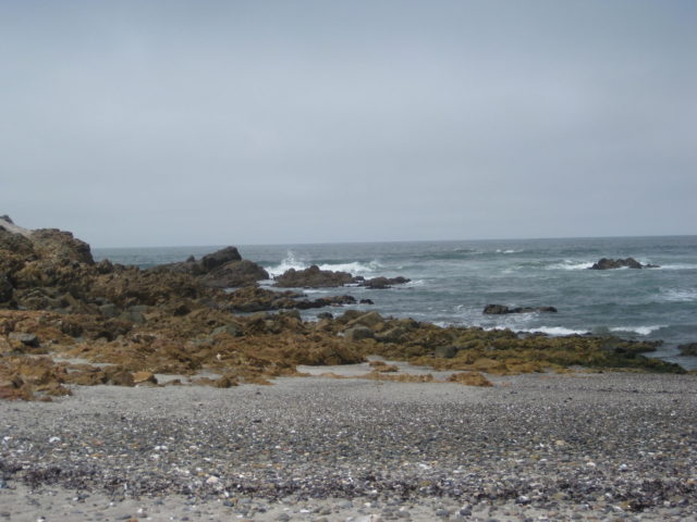

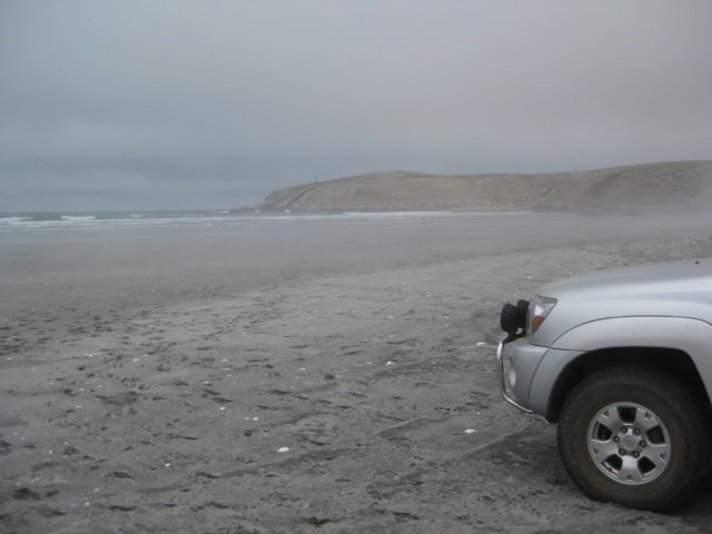


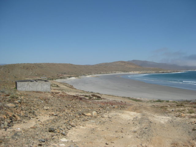
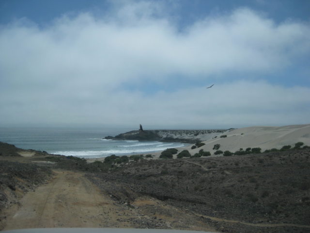
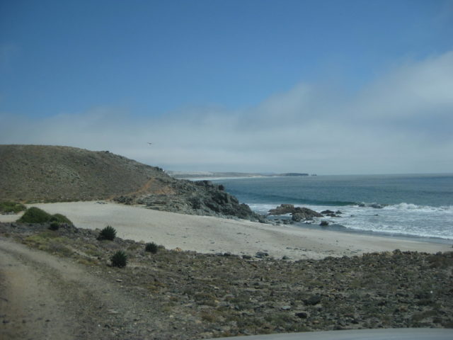
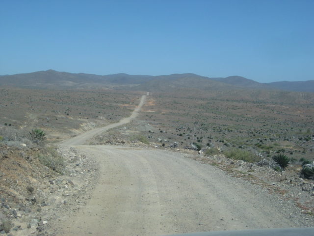
The next three are a panorama at Punta María…



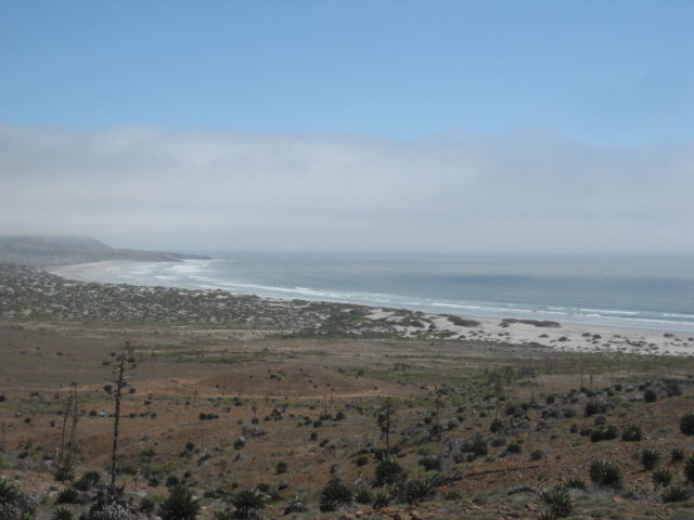
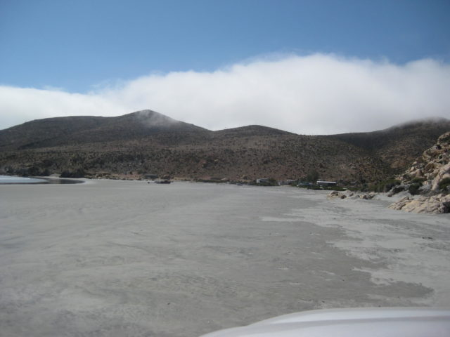
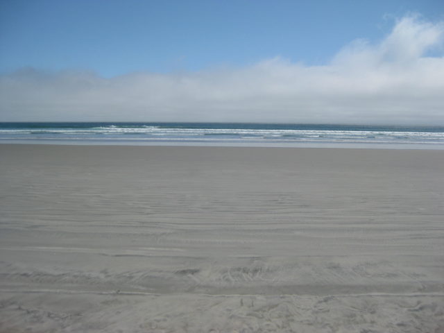
Panorama at Playa El Marrón (south of Punta Negra):


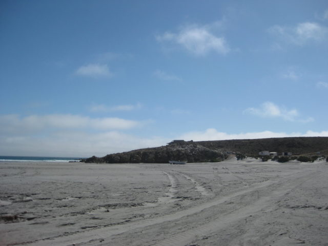
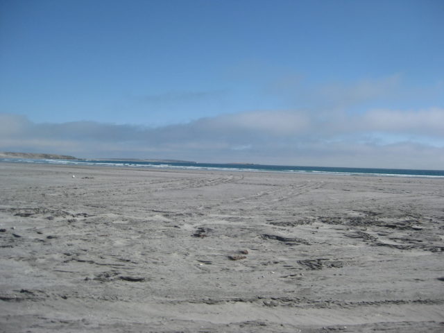
Santa Rosalillita
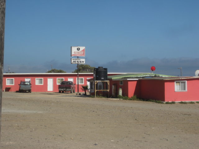


My dinner (halibut) had four filets, salad, rice, tortillas… more than I could eat! No drinks available so the beer was from my cooler. Cost 100 pesos (US$5.65) which demanded a 50% tip in my opinion! Everything in Baja was a great value (except perhaps the price of gasoline). All in all, I choose Baja!
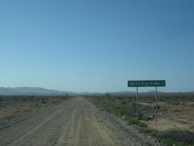
After dinner, I want to find a wind free (and fog free) spot in the desert to camp so I do a run out the paved road to where the graded dirt highway meets it. Just under a mile from town is the dirt highway north, with this sign:

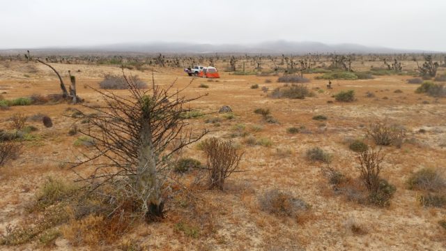
Well, sometime after midnight, the sound of water dropping onto the floor of my tent alerted me. I looked out, and no more stars. The fog had made it back inland during the night… I was not far enough inland!
DAY 5 (SUN APR 23, 2017):
The sun fights with the fog, my tent dries, and I am on the road at 8:40 am.
Today’s goal is to continue south and explore El Tomatal and Laguna Manuela as well as gas up at the Pemex at Villa Jesus María.
I drive back south on the graded dirt highway to the paved Santa Rosalillita road, turn left, reach Hwy. 1 (at Km. 38.5) and turn south.
The ranching community of Rosarito seems to have been renamed ‘Nuevo Rosarito’ (so there is no confusion with the resort city Rosarito Beach, I guess?). It has two famous restaurants, one is on the north side of town (Km. 51.5+) called Mauricio’s Restaurant (on the left).
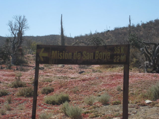
Next is the dip (vado) over Arroyo Rosarito (Km. 52) and then the first road to Mission San Borja goes south where the highway bends to the west, on the other side of the dip. Going to San Borja? The route is 0.2 mi ahead on the dirt street to a cross road in the village, where you turn left for the mission. After the curve, 2/10 a mile, the other signed road for San Borja goes to the left.
The highway soon widens for the next 27 kms. as in other places with an actually paved shoulder that could double as a bike lane. Km. 53-80.
Unfortunately with the exception of the 5 km. markers (which are bigger with the Highway 1 logo), all but one I saw of the kilometer markers are missing from this widened section near Nuevo Rosarito for at least 15 kms. Use your odometer, as every .6 mile is a kilometer (it’s .62 actually).
Km. 54.5: La Cienega Restaurant, the other popular eatery.
Km. 57: Dirt road right toward Punta Rosarito (joins the more used road, ahead).
Km. 62.5+ Punta Rosarito road (continues along the coast to Santa Rosalillita, rough).
Km. 69 El Tomatal junction and Military Checkpoint. Get the inspection done first, then go in reverse to head to El Tomatal, as the intersection is just north of the checkpoint. This was the instructed process.
To the coast:
Mile 0.0 Hwy. 1/ Checkpoint/ Km. 69
1.0 Fork. Campo Esmeralda right, El Tomatal left. Esmeralda has some camping ‘cabins’ and a bathroom building, it is 2.1 miles on the right branch. I go there and back out. Continuing toward El Tomatal…
2.4 Crossroad. Sign for Esmeralda (right). Continue west.
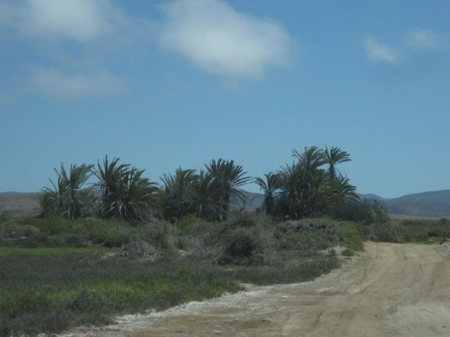
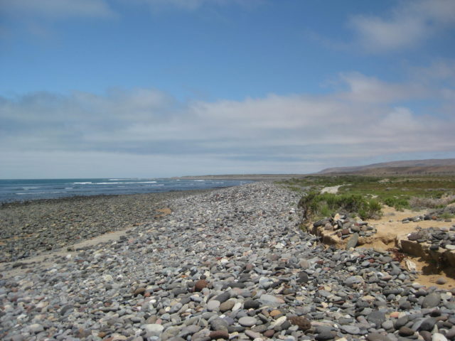
2.9 After passing a small oasis of date palms come to a rocky beach. Tracks turn south.
3.2 Fish camp, abandoned homes. Was this where Graham Mackintosh writes about ‘Blondie’ (the late Ginger McMahan-Potter) and her beach home where he made some money cleaning the mess made by the local fishermen during his 1980s walk around Baja? See pages 204-207 of Graham’s book, ‘Into a Desert Place’.
I go back out past the oasis to the cross road and turn south. In a couple miles, I take a road heading back to Highway 1 (after a look at the rocky beach). In just over 2 miles is Hwy. 1 at Km. 73+.
Next, I zip south to the Pemex station at Villa Jesus María (Km. 95). Note the highway department placed a sign calling the town ‘Valle Jesus María”. I was assured by the woman attendant at the Pemex, that their town was Villa, NOT Valle!
Gas is 16.10 pesos/liter (US$3.44/ gal), I top off with 63 liters. Adding in the 20 liters I got at Santa Rosalillita and 390 miles since the El Rosario Pemex has me averaging over 17 mpg, off road mostly. Also, in that my tank holds 80 liters, I would have run out if I didn’t get the 20 liters at Santa Rosalillita. I only use 4WD when I needed to avoid tire spin (climbing or sand).
It was 11:39 am, and there is great food all around the Pemex station.
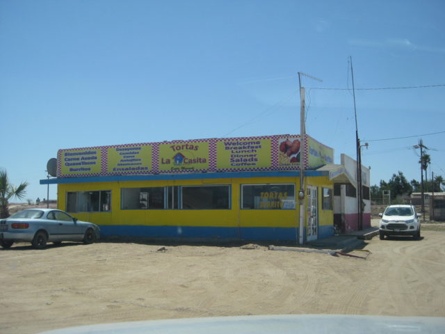
A seafood restaurant (Mariscos Paulina) is across the highway. On either side of the Pemex are taco places, Kassandra’s and the late Carmelita’s (famous tamales) but they both were closed. Open was Carmelita’s sister Lupita’s restaurant, Torta’s La Casita… Big menu, indoor seating, and ice for sale! I had two quesatacos (they were good sized), a coke, and a bag of ice (frozen solid) for my chest… the total was just 100 pesos! This place is a winner!


Photos:
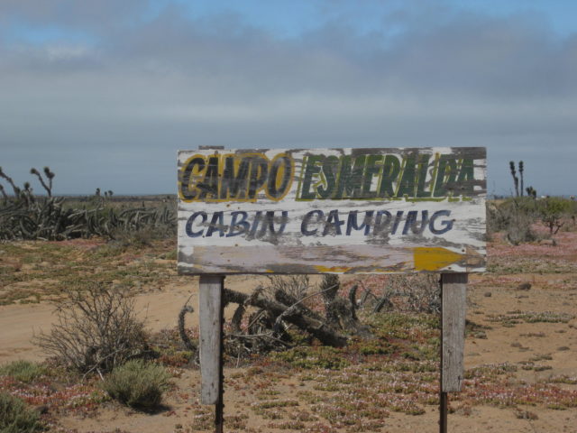
The next two photos are at Esmeralda…
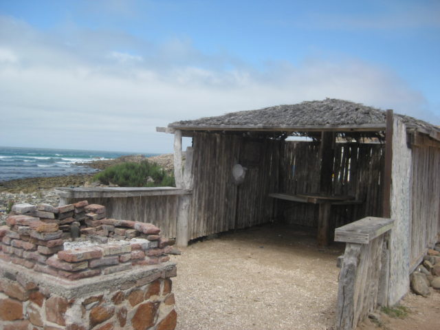

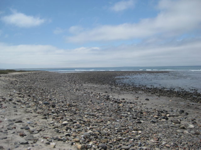
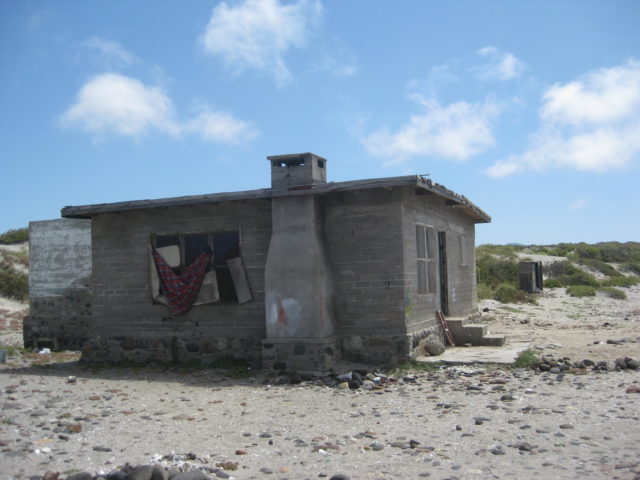
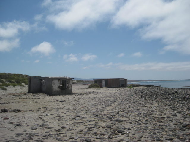
I did not see any sign of Miller’s Landing with onyx blocks from the El Marmolito onyx mine inland from here or the mystery of El Tomatal described so well by Michelle ‘M’ here on the Internet around 2001 (on Amigos de Baja, then). Here is a web page I made to tell her story of the mystery sound amplifying stones and battery draining powers, with her photos: http://www.vivabaja.com/et/

0.0 Hwy. 1 Km. 96 (Villa Jesus María), take paved road west.
0.8 Turn left off pavement onto wide graded road.
4.9 Road to right is a deep sand route to the long north beach. Excellent fishing in past years. Known as ‘Variety Beach’ for the wide selection of surf fish caught (croaker, calico bass, halibut, etc.). The road ahead can be driven to it, over Morro Santo Domingo, past the beach, and back to this point (4WD).
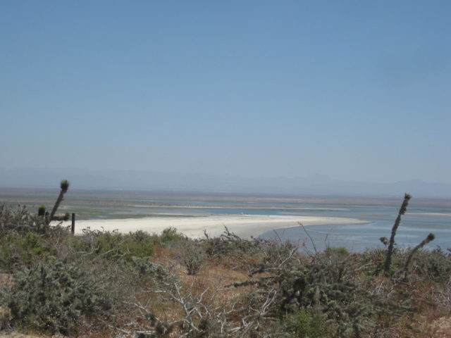
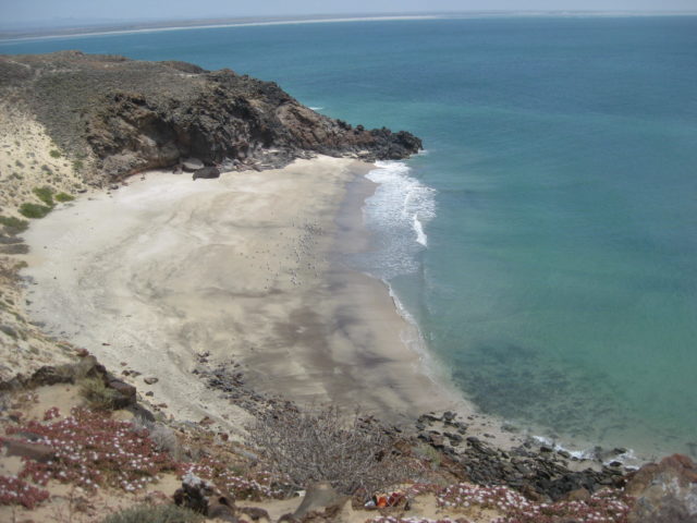
6.7 Edge of big beach at Laguna Manuela. This log continues up the hill. Palapa camping here.
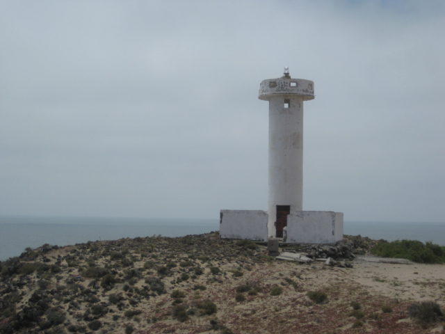
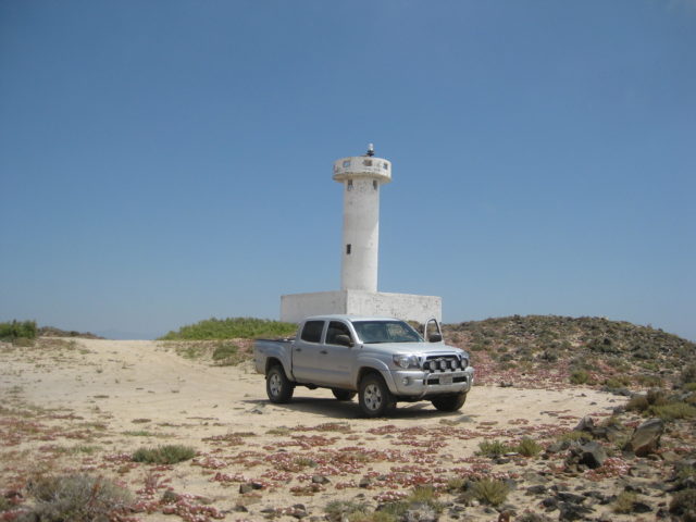
7.8 Lighthouse.
8.2 Fork. Left goes 0.3 to a spectacular sea-arch beach.
10.8 Drop down the hill and meet with road parallel to Variety Beach. Camp spot at end of road to left, 1/4 mile. Turn right.
11.2 Turn right and soon go over deep sand to return to Villa Jesus María.
13.1 Back at Laguna Manuela road, 4.1 mi from paved road, 4.9 from Hwy. 1.

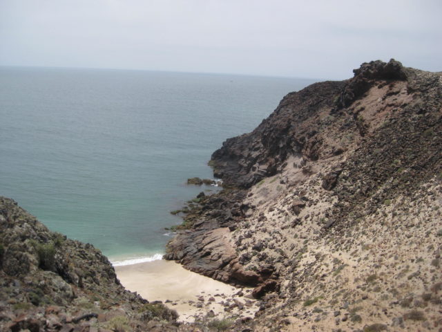
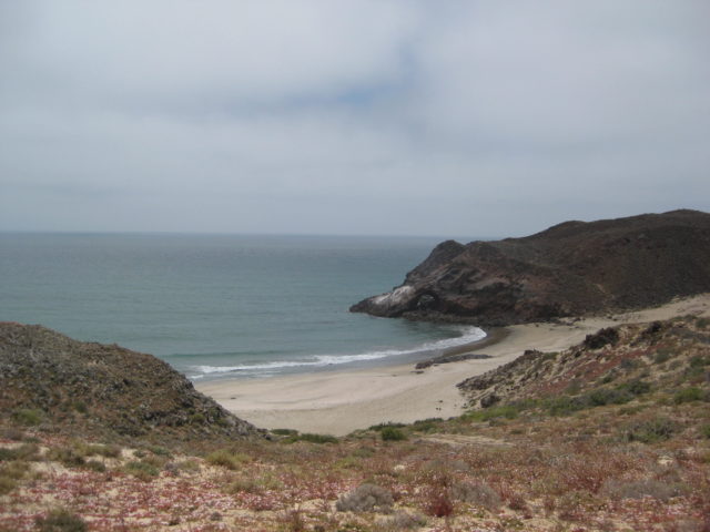
People in the arch help show the scale!

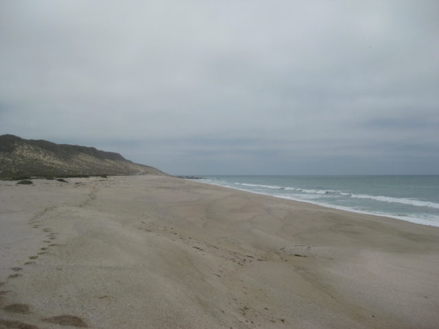
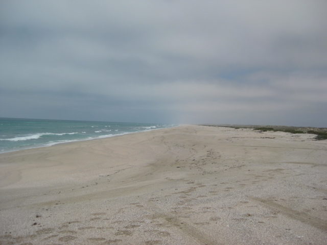
Continuing north from Morro Santo Domingo…
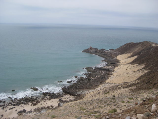

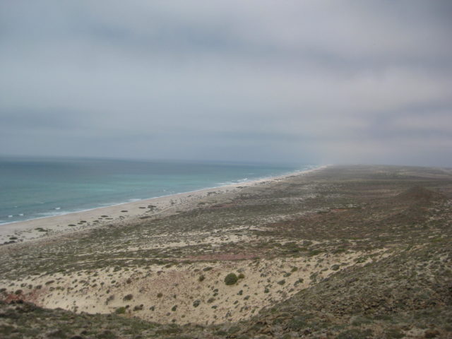

Continues on next page…