
Nuevo Mazatlán, Baja California
30°43.31′, -114°42.32′ (WGS 84)
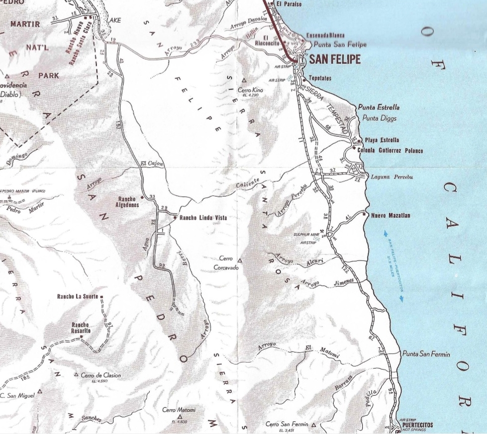
Nuevo Mazatlan was originally known as Agua de Chale, named after a well and ‘Charley the Chinaman’, from over 100 years ago. Some maps still show the name as Agua de Chale even though the name was changed in 1966. Developed into a beautiful campground by Luis Castellanos Moreno who planted rows of tamarisk (salt cedar/ pino salado) trees to offer unique shaded camping. Located 1/2 mile off Mex. Hwy. 5, about 26 miles south of San Felipe, at Km. 32. Limited services include flush toilets, cold showers, water bibs (non-potable). Restaurants, stores, and a doctor are 2 miles south at Ejido Delicias (Km. 35).

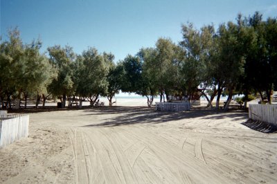
‘Forest’ camping is rare in the desert!

Some trees are right on the edge of the beach, the others just behind. There is room for several dozen campers.

Nuevo Mazatlan’s beach is all sand on the Sea of Cortez. The above three photos from Burk and Linda Quintrell of British Columbia. Thank you! Our Matomí 2004 group base camp was here in Feb. ’04: http://vivabaja.com/204 Some vintage photos of mine starting from 1967 begin next….
Nuevo Mazatlan 1967 +

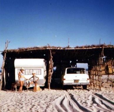
November 1967, Nuevo Mazatlan (Agua de Chale)

Before he planted trees, camp owner Luis had large palapas on the beach (then called cabanas). My parents, my school friend and I pose next to my dad’s Jeep Wagoneer.
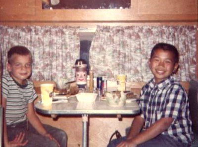
Thanksgiving 1967


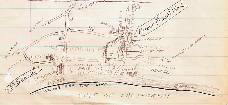
The 1967 Auto Club Map:
March 1972
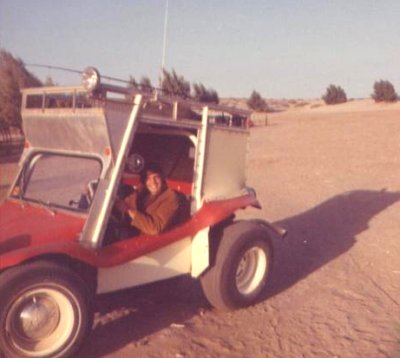
My dad bought this Baja custom Myers Manx, with a roof rack and snap on sides. It became my car when I turned 16. I am 14 in this picture.
July 1972

The founder of Nuevo Mazatlan, Luis Castellanos Moreno, David K (age 14), and Felicitas (Luis’ wife).
Remembering Luis of Nuevo Mazatlan article: https://www.bajabound.com/bajaadventures/bajatravel/remembering_luis_nuevo_mazatlan.php
Nuevo Mazatlan, Summer 1973
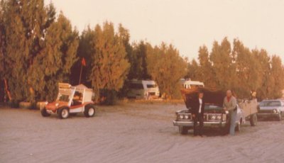
My dad was always game for a trip to Baja…. Like father, like son!
Nuevo Mazatlan in Summer 1974
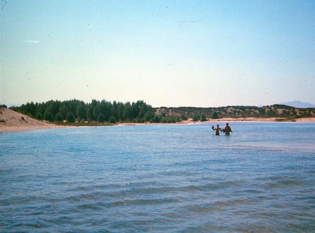
November 1975, Baja 1000
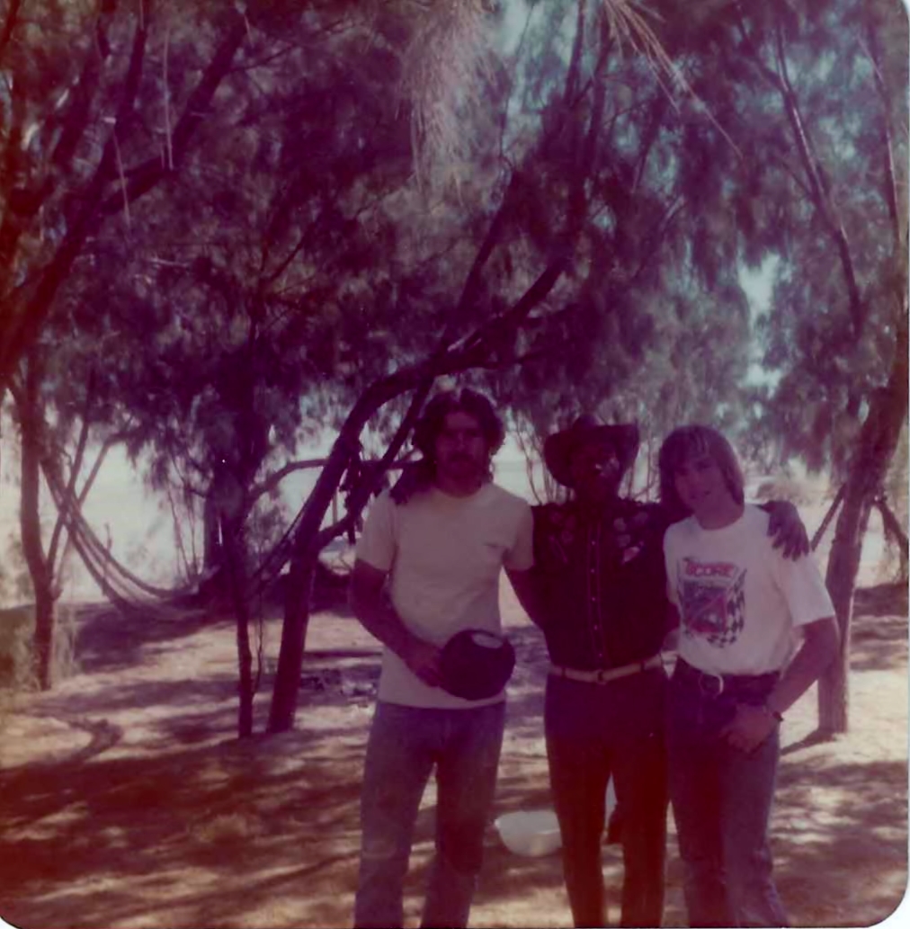
Nuevo Mazatlan in Summer 1977

Camping with my girlfriend Cassy, in my new Subaru 4WD wagon. I had a Jeep Cherokee Chief previously, which replaced my Myers Manx in 1975.
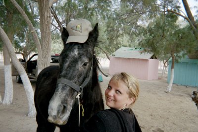
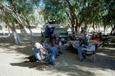
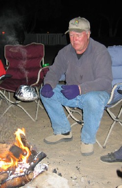
Nuevo Mazatlan in February 2004:
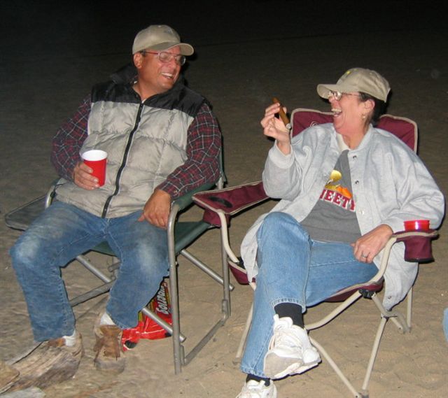
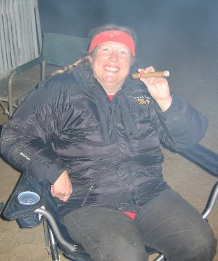
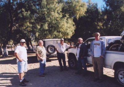
Nuevo Mazatlan in August 2006: Here (for all photos)
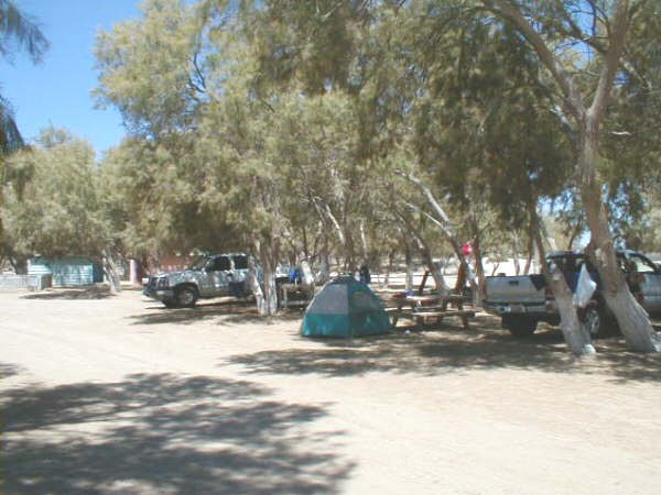
Nuevo Mazatlan in July 2015:


Once I found a way to drive onto Shell Island in 1978 (4 miles north of Nuevo Mazatlan), I typically camped there… See those 40 years of photos 1978-2018: https://vivabaja.com/shell-island/
Mar. 1978 on Shell Island
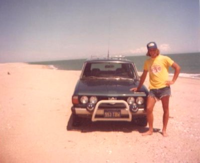
Finally found a way to get on the island at low tide. That Subaru was a super sand bug (tires at 10 psi)! With such a beautiful beach usually all to myself, I began camping there. Access is about 4 miles north of Nuevo Mazatlan. Today, that’s at km. 26.
Aug. 1979 Matomí Canyon Oasis
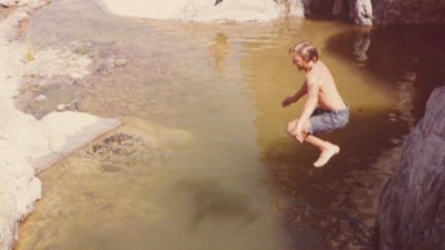
Even in the burning heat of summer, Matomí Canyon offers refreshment. David K (age 21 ) takes the plunge! This is about 40 (4WD) miles southwest of Nuevo Mazatlan.
Dec., 1982 El Parral Canyon (aka ‘Azufre Wash’)
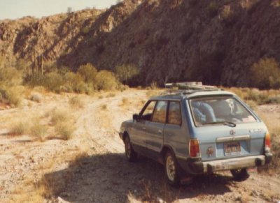
My second 4WD Subaru entering the canyon from the east, about 2 miles south of the sulfur mine.
1982 Map by David K

The new road to Puertecitos was just put in, but not paved for 10 more years.
My 1988 Map of San Felipe to Puertecitos and West

The ‘Difficult Passage’ (Matomi Narrows) was in 1979. Since then, sand had covered up the boulders and it was an easier drive (in 2001 & 2005). However, again (in 2017), the pass was very difficult to impossible for stock 4x4s.
1962 Map by Howard Gulick

San Felipe to Gonzaga Bay is illustrated in this 1962 map from the Lower California Guidebook, with Agua de Chale shown.
My website: www.vivabaja.com
Please contact me if you have any questions: info@VivaBaja.com