On January 21, 2006 Elizabeth and I took a day trip from El Rosario to the abandoned onyx mine of El Mármol and the active soda springs of El Volcán, 4 miles beyond. El Volcán is the site of a cold water geyser which erupts monthly.
Mexico Highway #1

South of San Quintín, Highway One gets very narrow… pass or be passed with caution!
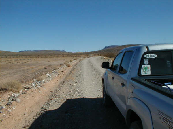
The 9.3 mile road to El Mármol is an easy drive for nearly all vehicles. This photo taken about a mile from El Mármol is next to the town’s airport.

All remote runways in Baja have been ditched by the military to prevent their use by drug runners.
ONYX SCHOOLHOUSE
The remains of the world’s only onyx schoolhouse is the main attraction here.
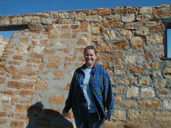
Elizabeth (‘Baja Angel’) at El Mármol’s onyx schoolhouse.

Very sad that this structure was half torn down when so much fine blocks of onyx remain in the surrounding acres.

In 1952…

The schoolhouse when El Mármol was active.

The teacher and her students...
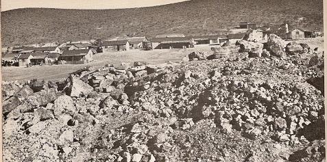
The town in 1952… On my first visit in 1974, only one wooden home and the locked schoolhouse remained. In 1976, the school’s door was open. When I returned in 2000, nearly half of it was torn down.
TO EL VOLCÁN

I took this photo later, on our way out to show the sign pointing out the road to El Volcán which continues to the La Olvidada barite mine.

Just beyond the right fork at 2.0 miles from El Mármol, the road begins a steep decline. 4WD suggested for the return trip. In 2011, this road had been graded all the way to the barite mine making 4WD less necessary. In 2025, the road was bit rough but easily passable with a truck.
Elephant Trees

White Slope
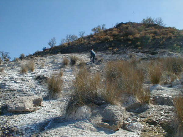
If you cross Arroyo el Volcán on the La Olvidada road, this bubbling spring covered hillside is 0.4 mile beyond the arroyo, on the right side of the road .

My first two trips here (1974, 2000) I presumed this was El Volcán. Jack Swords informed me that the true El Volcán was a short hike up the arroyo we crossed.
Arroyo el Volcán

Back to the arroyo (4.0 miles from El Mármol), we could drive 0.2 mi. up the wash then hiked the remaining 0.2 mi., past this cave filled cliff.

Green pools in the arroyo are passed.

On the trail to El Volcán, I take an arm’s length picture of Elizabeth and I. Some of the pools can be seen in the background .

Tiny stalactites in one of the cliff caves.

The Geyser Dome of El Volcán comes into view.
Baja’s Cold Water Geyser, El Volcán

My hand is on the top where a monthly eruption is reported to spray gas and water 60 feet into the sky for several minutes.

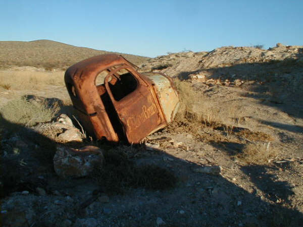
Estero Beach Resort’s truck (from 1958)?
We looked around the onyx mine after returning to El Mármol from El Volcán and exploring the left fork at mile 2.0. See the area map.
El Mármol Graveyard

Area Map


Road Log (Miles) GPS @ WGS 84
- 0.0 El Rosario Pemex Station (Km. 57)
- 14.6 Punta San Carlos Jcn. (Km. 80)
- 28.5 Los Mártires, San Juan de Dios Jcn. (Km. 103)
- 31.5 El Descanso (Km. 108)
- 31.6 Monument to Hector (Km. 116.5)
- 37.8 Old Road to right, Mission San Fernando access
- 39.4 El Progreso (abandoned café), signed San Fernando road (Km. 121)
- 46.2 Santa Catarina Jcn. (original shipping point for El Mármol’s onyx, Km. 132)
- 46.4 Guayaquil Jcn. (abandoned village north of highway, Km. 132.5)
- 54.2 San Agustin abandoned trailer park
- 54.3 Abandoned gas station San Agustin (Km. 145)
- 54.4 San Agustin highway maintenance complex
- 56.1 Abandoned Tres Enriques café.
- 56.5 EL MÁRMOL JCN. (Km. 149)
- 9.3 from Hwy. 1 is EL MÁRMOL at 29°58.21′, -114°48.57′ , elev. 2,190′
- 4.0 from El Mármol is Arroyo El Volcán (take right fork at mi. 2.0)
- 0.4 to the right/south, up the arroyo is EL VOLCÁN at 29°59.56′, -114°46.26′, elev. 1,885′
HALF WAY HOUSE (Media Camino)
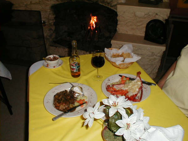
On our way home Sunday night, we had another great meal prepared by Chef Johnny…
Heeeeere’s Johnny…

Chef Johnny and David K, Jan. 22, 2006
Thanks for joining us on another fun trip into the magic peninsula of Baja California!