FREAKY FOURTH: SATURDAY 7-2-11
Who would have guessed that such a textbook perfect July day in Baja could become so ugly in just a few hours?
———————————————————————————–
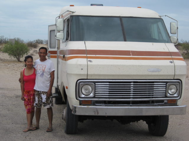
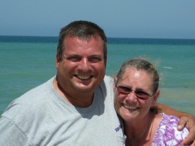
Baja Angel, Kristi and I made the drive from San Diego Friday night… crossing at Tecate (to avoid Friday PM Calexico traffic into Mexico) for a quick drive to San Felipe… not getting dark until we were well south of Mexicali.
There is still 6 miles of dirt detour in the Rio Hardy area and a few detours in the Laguna Salada canal area, up and down from the road as they change the conduits or bridges.
The military checkpoint at the Hwy. 3 jcn. is checking both north and south bound vehicles equally (it used to be just northbound)… 31 more miles to San Felipe.
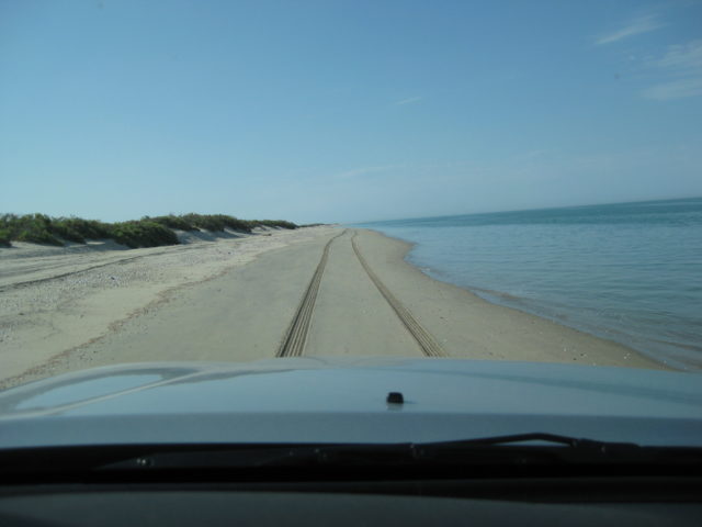
I made a log of some mileages south from San Felipe, all the way to Hwy. 1 at Laguna Chapala… Including where the new pavement ends now and extent of new roadbed work. Look for that in the Baja Road Conditions Forum, soon…
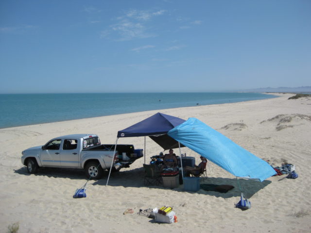
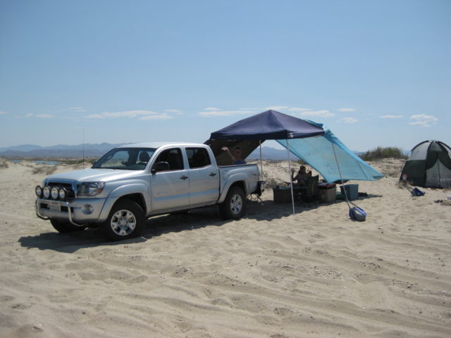
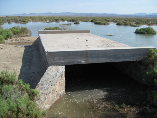
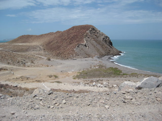
We arrived onto the island about 11:15 pm, well short of the next high tide… There was some sea water to cross by the concrete bridge, from the 18.0 foot high tide that afternoon… no problem…
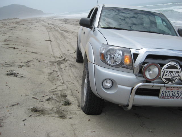
Once onto the lower beach, I lowered the air pressure to 18 psi and that worked well on my Hankook Dynapro ATm tires. Camp got set up…. and then, off to sleep!
————————————————————————————-
SATURDAY MORNING… was awesome… all blue skies, gentle breeze… the 2:29am high tide was still going out to the lowest point (8:41 am) so Kristi began walking the sand bars looking for goodies.
I was game for a swim that morning, but it required a half mile walk (or more) to reach the sea at low tide! Baja Angel was happy to just stay under the shade and relax.
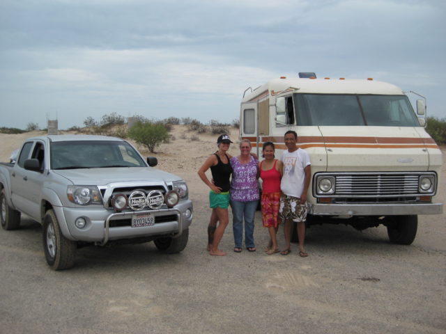
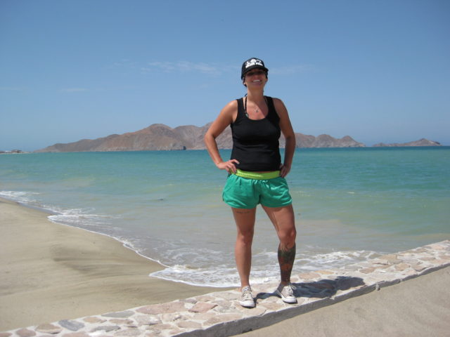
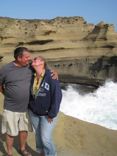
We knew that Art and Nora (edm-1) were coming in the new, bigger 4WD motorhome… I took a couple of drives out to the bridge before high tide hoping to greet them or help them in… I drove back and joined Baja Angel and Kristi swimming and floating in front of our camp (now just a couple hundred feet from camp). That was great… water felt perfect… not as warm as in the past, very comfortable. (story continues below the photos)
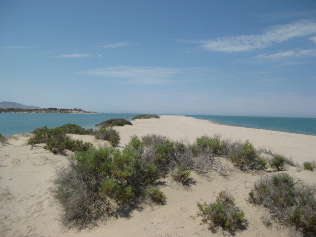
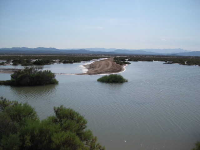
After the tide started going back out (about 3:30pm), I drove back to the bridge and took photos of the flooded area with just a slightly higher tide (18.2 feet) causing so much change in looks and making sure people can see it is an ISLAND!
Driving back to camp after not finding Art.
No Art… back to camp for a siesta! zzzzzzzzzzzzzzzzzz
The sound of an engine struggling had me jump up and run to the sand dune by our tent with the binoculars… there was Art! He was across the lagoon on the salt flat road that runs between Laguna Percebu and Bahia Santa Maria. He was in a mud pit… He got out, and motored to a point across the lagoon from our camp on the island. The tide was still high enough to have the lagoon full of water, but at about 3 feet deep, I waded across to greet Art and Nora.
The amount of water at the bridge (on the access road onto the island) was a concern for him and he wisely elected not to cross it.
Knowing Art’s mechanical skills at driving 4WD motorhomes (as in our adventure to Mision Santa Maria and onto Shell Island last year), I asked if he wanted to try it with me being a ride along harbor-pilot to guide him over the route my Tacoma took 17 hours earlier? Art was game, so we returned to the bridge and I walked in the water over my track from last night to show Art the depth and direction to charge across.
Sadly, the mud was just too slippery for the motorhome’s weight and street tires, and even with front and rear lockers (and all tires spinning equally) the motorhome got only 20 feet into the water crossing. Backing up only slid the giant rig sideways and soon we had no forward or backward movement… But also we were not going down deeper in the mud. The ground below was firm… It was the 6″ of wet, slimmy mud the stopped the coach.
Naturally, I felt mostly to blame for this mess… So, I had to be able to get Art and his 12,000 pound 4WD home out of there! Did I say the sun was close to setting and it was really going to take some Baja Magic to fix this??!!
A panga fishing camp is on Shell Island just a 1/4 mile south of the bridge and Art and I walked there with high hopes for help. (My Tacoma was 2 miles away, but it may not have been able to move such a huge thing if it was the only truck on the island.)
One fisherman was in camp, Esteban (Steven) who smiled and had us hop into his Ford 4X4 with fat rope onboard (used to pull the pangas way up on the beach). We motored out to Art’s motorhome (I nicknamed the Titanic)… and with such ease, Esteban pulled Art’s coach out of the wet and down the causeway to the dry salt flat. YEA!
Art drove the Titanic back to the area across from our camp… We were going to eat dinner together, but a sidewinder encounter (as they began heading towards the lagoon to cross it), had them decide to postpone our get-toghether until the following morning!!
I walked back over to our camp to find Kristi and Baja Angel just awakining from their siesta!!! It was getting pretty dark… I lit the lights and campfire… and figured Art and Nora were too exhausted to come over (we learned about the rattlesnake the next morning). We had some food and relaxed a short while… too short… 
We watched the lightning show across the gulf (typical in summer… it stays over there in Sonora). However, this evening it was moving closer to us! The the wind picked up… Then things started flying! Kristi’s nice sleeping bad blew into the fire… I grabbed it but there was damage, sadly. The sun canopy collapsed as we were taking it down… the legs buckled and broke!
Our dome tent was almost flattened from the hurricane-like wind and blowing sand… It would rip open allowing sand to jet into our tent. A miserable mostly sleepless night…
Well, it was quite a night with the hurricane blowing over Shell Island and our camp in a bit of a shamble… The pop up sun canopy was destroyed and our tent was ripped… Without a sunshade, we would need to leave and head for another location… We had planned to show Kristi Gonzaga Bay and El Rosario, we would just do it a day sooner, now!
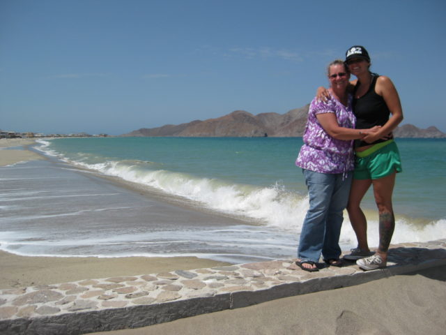
Art and Nora walked across the empty lagoon with pots of food in hand… Lumpias and Ox Tail Soup… what a treat! We had a nice visit and Art and Nora walked out onto the sand bars looking for goodies… while we packed up to exit the island and head south.
As it was, we both re-met at Hwy. 5 at the Shell Island turnoff (Km. 26) for photos and final goodbyes… for this time.
We headed south on a strangely cooler, overcast day… We stopped at Colonia Delicias (Km. 35-36) for some ice and headed towards Puertecitos and beyond…
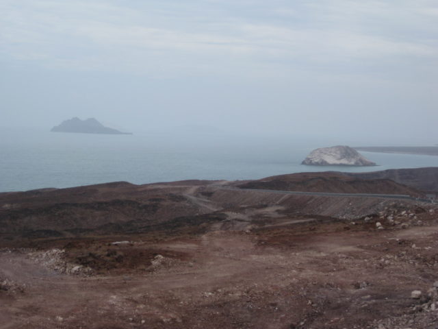
The Enchanted Islands… strangely in fog on a summer day. We had no idea that at this very moment over 30 people were in the water or had just been rescued from the sportfishing boat ‘Erik’… capsized in the overnight storm that forced us to leave the beach that morning.
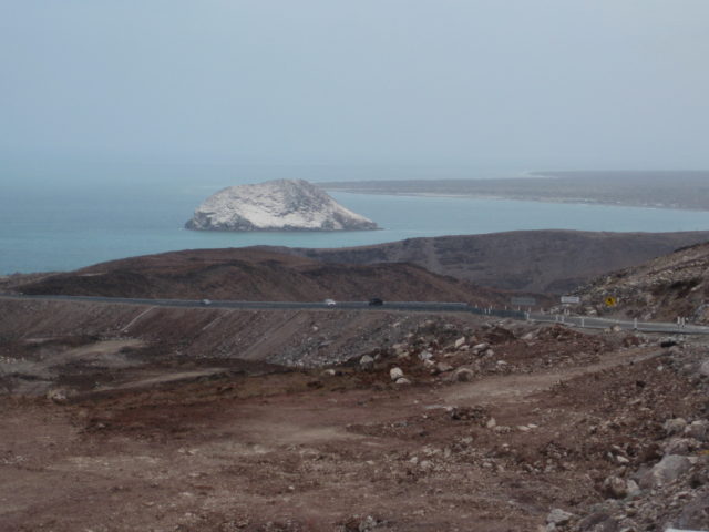
El Huerfanito Island
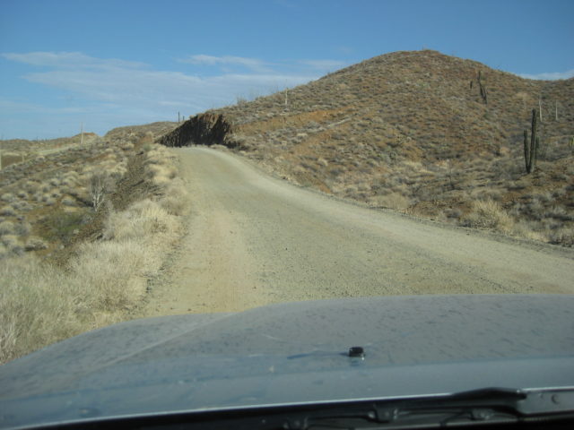
We took mileage notes this day and were on the new paved highway for 24.1 miles from the Puertecitos jcn.. The kilometer markers are from the San Felipe airport road (Km. 0) to El Huerfanito and then change to bigger numbers south of El Huerfanito… as if from Mexicali. The detour off the pavement was near Km. 318… and the older road has been regraded smoother (for highway crews) for another 7.9 miles (almost to Campo Delfines).
The pavement ends just 1.4 miles from the site of Okie’s Landing…
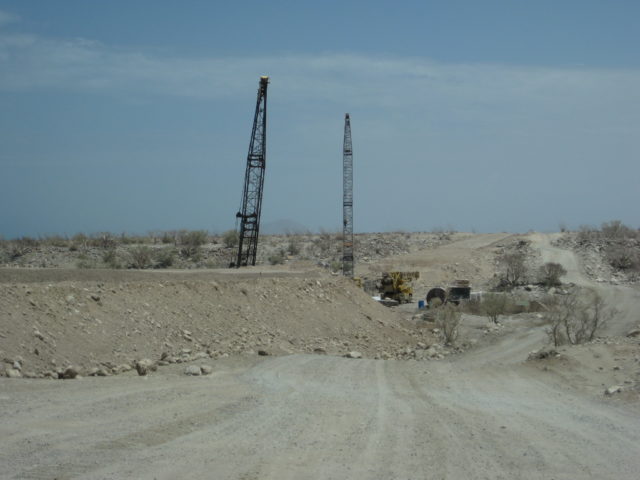
The rough, older road lasts for just 10.4 miles to Papa Fernandez’ road and improves greatly for the remaining 36 miles to Hwy. 1
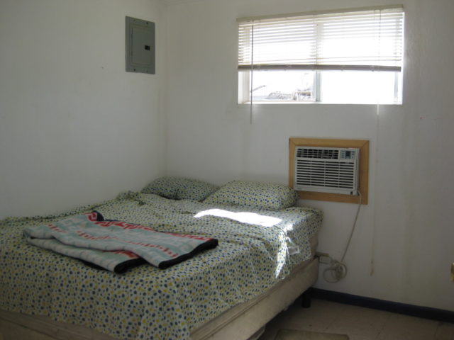
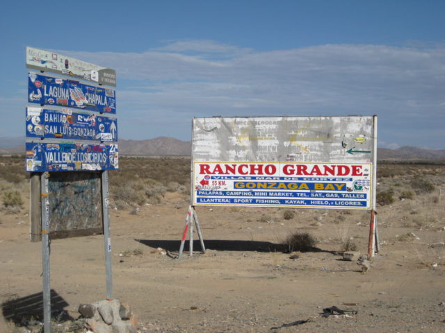
The military checkpoint, 1.2 miles south of Papa Fernandez’ road was open. It was after 2 pm and the Pemex at Alfonsina’s was closed for siesta (2-4) as before. Because it was now high tide, the airport and driveway to Alfonsina’s was underwater… so we drove to the Rancho Grande beach instead…
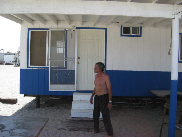
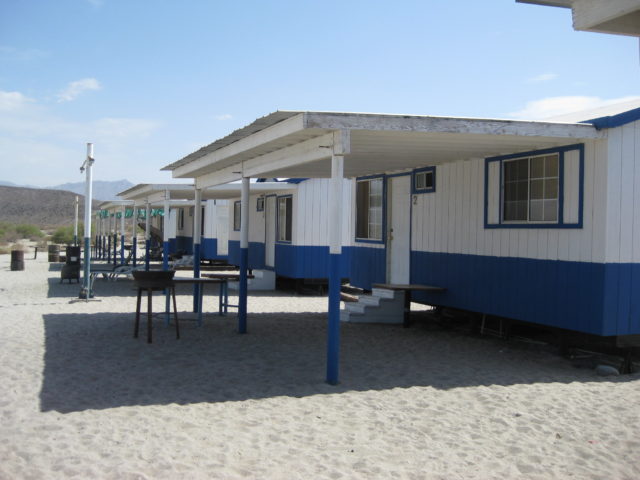
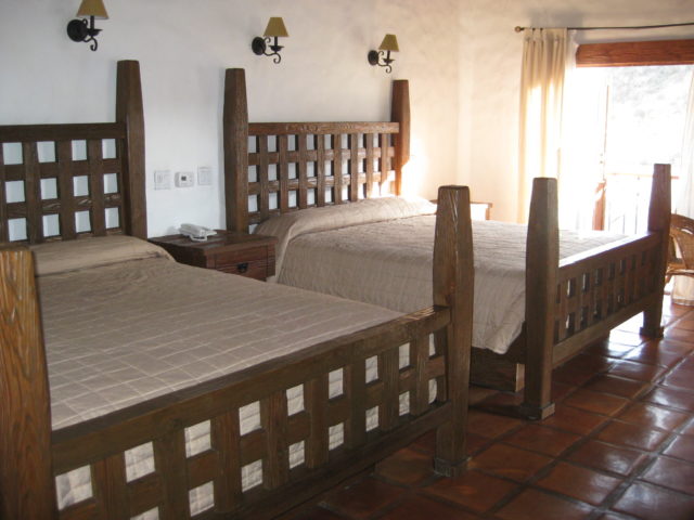
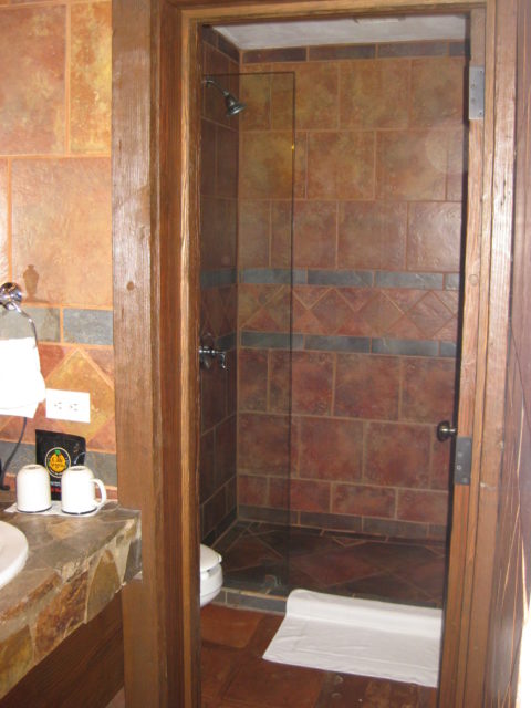
Here’s the 60 dollar room:
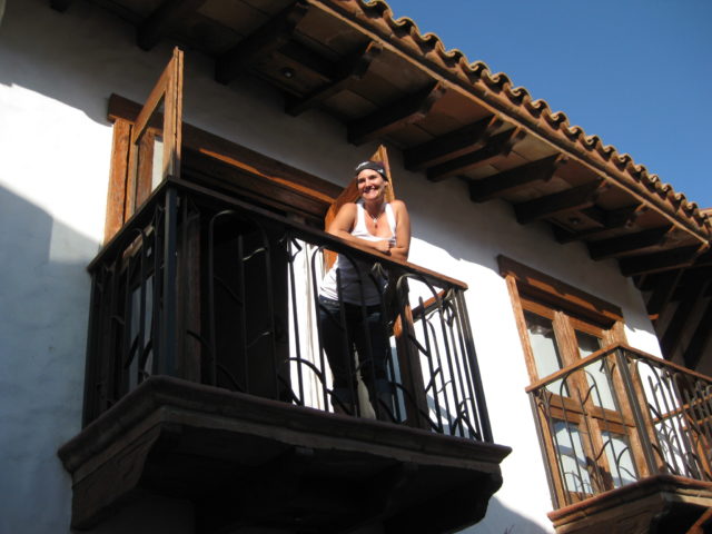
We are nice and say thank you to Eduardo and book-it-out of there for Baja Cactus in El Rosario!
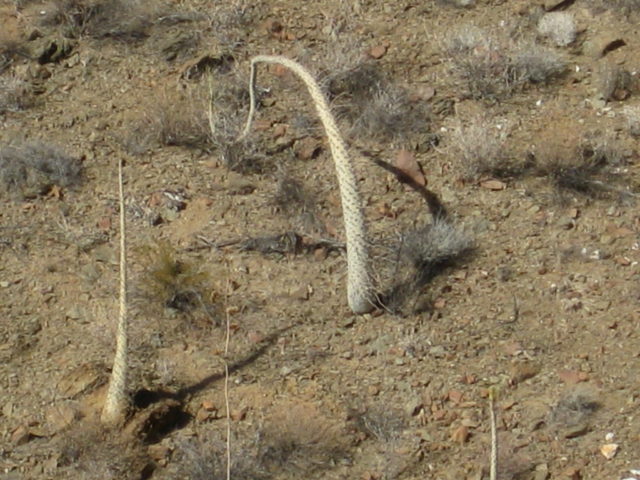
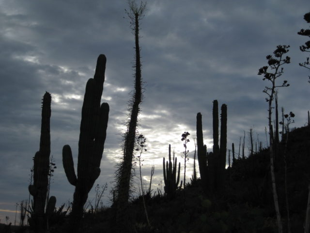
The first boojum trees are seen 14.4 miles south of the Gonzaga Pemex…
We drive the 33 miles to Cataviña with ease and need to buy 5 gallons (19 liters) of gas to not cut it too close getting to El Rosario. We learn that Alfonso no longer is in the gas selling business and his spot is now manned by Eduardo (yes, another one). The 5 gallon can is full to the brim, so no getting short changed on the quantity. The price was bit more marked up over Pemex than Alfonso sold it for (typically a dollar over Pemex per gallon). but what are you going to do, if you need it? It was $22 dollars for the 5 gallons ($4.40/ gallon) and the Pemex price that day was $2.99/ gallon. It was still appreciated in that they drive 152 miles round-trip to sell gas here!
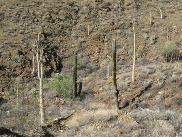
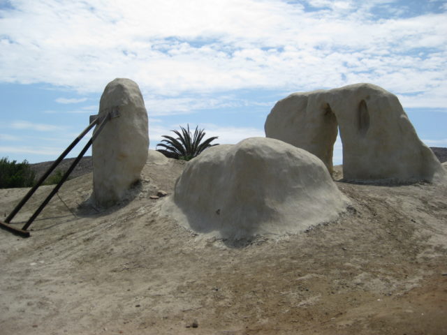
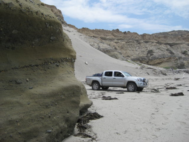
On to El Rosario… with a stop at Km. 105 to get close to some cactus:

We arrive at Baja Cactus to get a room secured (we had a reservation for the following night, not this night!). Then we drive out to Ed’s Baja’s Best Restaurant and Bar for his outstanding Tequila Sunrises, with fresh squeezed orange juice! For dinner we go to Hugo’s Tacos Misión and have stuffed baked potatoes… YUM!
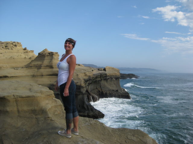
Monday we will have a great, relaxing day showing Kristi some sites in the area (Mission, Punta Baja, La Bocana, La Lobera)
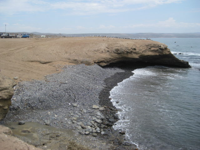
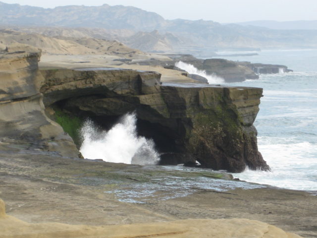
Punta Baja
La Bocana Beach
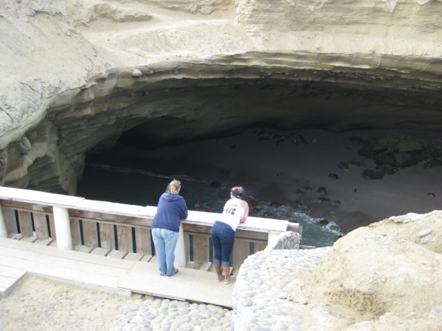
LA LOBERA (KM. 47.5 & 3 miles west) July 4, 2011
Monday afternoon we returned to El Rosario from La Bocana beach (5 miles) along the north (2WD) road and filled up the gas tank at Baja Cactus Pemex (8.93 pesos per liter, 11.30 pesos per dollar= $2.99 per gallon).
It is 6 miles north on Hwy. 1 to the La Lobera road, between Km. 47 and 48. Note the branch power lines going over the highway to La Lobera facility at the turnoff. It is 3 miles to the coast at La Lobera. A day use fee of 30 pesos per vehicle is collected when you arrive.
La Lobera is a giant sea cave whose roof collapsed except for the entrance tunnel that the seal lions (lobos or lobos del mar) use to get to their beach.
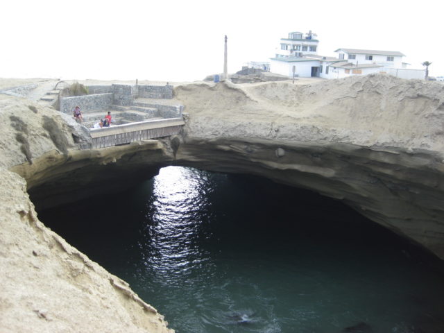

It is a rugged and beautiful coast, well worth the time to visit. The facility is a sea food cultivation plant that raises abalone, lobsters, and other yummy treats. The original plan was to have a restaurant in the first building, upstairs. A commercial kitchen was installed. Sadly, the drop in tourism and perhaps the failure of the Diamante del Mar project (that was ‘next door’) prevented the opening.
See photos of La Lobera from our first visit in May, 2005: http://vivabaja.com/505/
We returned to our room at the Baja Cactus Motel in El Rosario… See the room photos and our lunch stop Tuesday at the oak grove campground by the first Santo Tomas mission site… on our way home.
Baja Cactus Motel
First Santo Tomás Mission Location (1791-1794)
Like all my previous trips to Baja, this one was awesome even with the freaky weather that blew us off Shell Island on Saturday night/ Sunday morning! Sunday was overcast from the hurricane or chubasco that hit us and covered this part of the peninsula. Monday was beautiful in El Rosario, but Tuesday morning it was raining… more freaky, tropical weather.
Saturday all day was perfect and textbook Baja Shell Island awesome. So, we left a day sooner than planned… got to see how much progress the Gonzaga Bay highway has made since the previous trip south of Puertecitos (July, 2010). A whole 5 miles in one year. I guess that means 3 more years to reach Gonzaga and 10 years to Hwy. 1???
The drive to Gonzaga and on to El Rosario was great.. and our full day Monday showing Kristi some of El Rosario’s sites was great, too. Kristi still can’t believe how nice the Baja Cactus Motel was, both being where it is located and the price (under $40) compared to any other motel that charges much more and provides less.
Hwy. 1 and Hwy. 3 to Tecate were in great shape and only a couple of tiny unpaved section were encountered south of Ensenada.
We arrived at the end of the border line at 4:28 pm Tuesday afternoon and were across the border in 47 minutes.
A ‘Freaky Fourth’ because of the sudden weather change, but we still had a great time and look forward to the next time we go south!
Join me on my other Baja Adventure Travels: https://vivabaja.com