Edward H. Davis photographed the Baja California Native people and mission sites during his 1926 expedition. His San Diego County and other photo collections are preserved on many sites like SanDiegoHistory.org
San José de Comondú 1926
San José de Comondú, enhanced photo. This is the opposite side of church from previous photo
San JavierFresh water hole, Bahía Concepción. Photo below is Km. 82.5 where a date palm is now growing along the shore at the fresh-water spring location: 26° 34.364’N, 111° 47.051’W.
Km. 82.5 where a date palm is now growing along the shore at the fresh-water spring location: 26° 34.364’N, 111° 47.051’W.
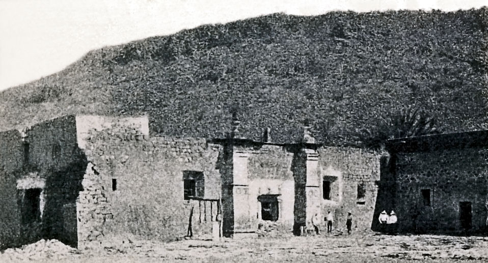
La Purísima, 1926Mission La Purísima, 1926
Visita de San Pablo (often mistaken for a mission ‘Dolores del Norte’) in 1926.
The next three photos show how adobe ruins vanish when unprotected from the elements:
+24 years=
A photo by Marquis McDonald, at San Pablo (which was called Dolores del Norte), in 1950.
+73 years=
Kevin Clough took this photo in 1999.
+84 years=
Phil Lang took this San Pablo photo in 2010.
+93 years=
Slowly vanishing, in a photo by David Kier in 2019.