The Beach, Birds and Bumps in Baja: July 17-20, 2010
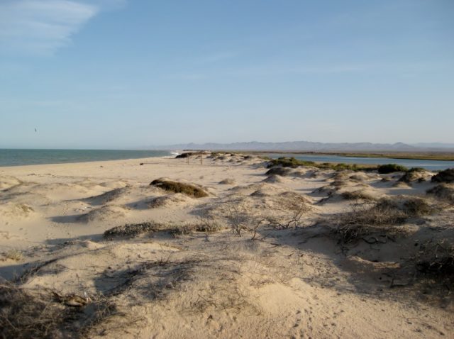
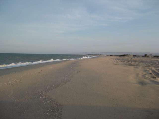
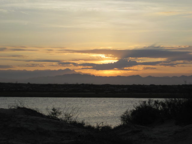
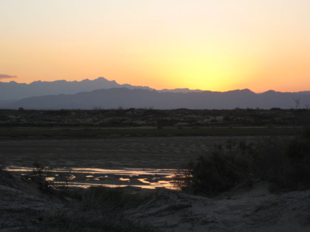
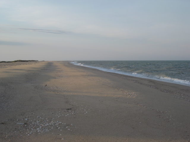
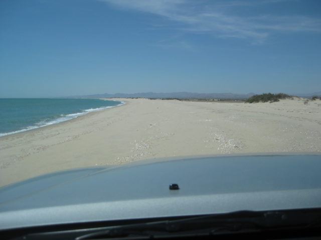
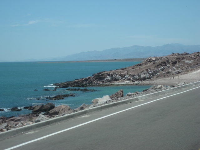
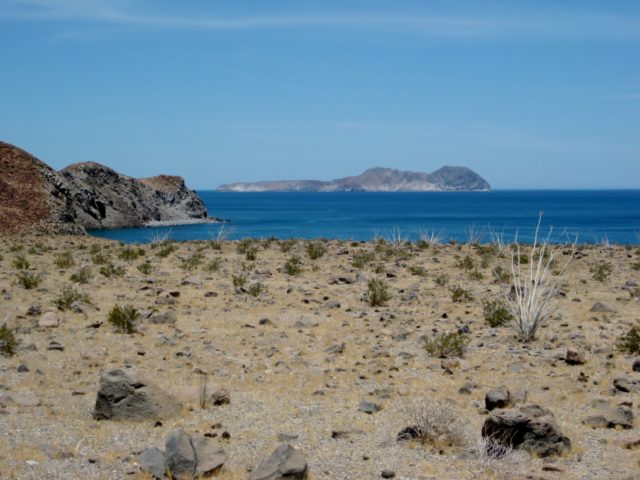
It was our second wedding anniversary on the 18th, and our favorite place to be just to ourselves is Shell Island, about 20 miles south of San Felipe where the Sea of Cortez is on one side and the Percebu lagoon is on the other.
We started our weekend with breakfast at Sunrise Café, in Vista, CA and were on the road south at 7:30 am. Because of the traffic southbound at Calexico, last trip (2 weeks earlier) we decided to cross at Tecate this time. We crossed the border about 8:45 and headed towards Mexicali, getting on the fast toll highway (Mexico #2-D) a few miles to the east.
Three tolls are paid heading east to the San Felipe highway (Mexico #5). El Hongo was $4.30 (55 pesos), La Rumorosa was $1.50 (16 pesos), and Mexicali (at the Hwy. 5 junction) was 55 pesos (no dollar amount sign posted, we paid in pesos here). It was 10:30 when we got to Hwy. 5.
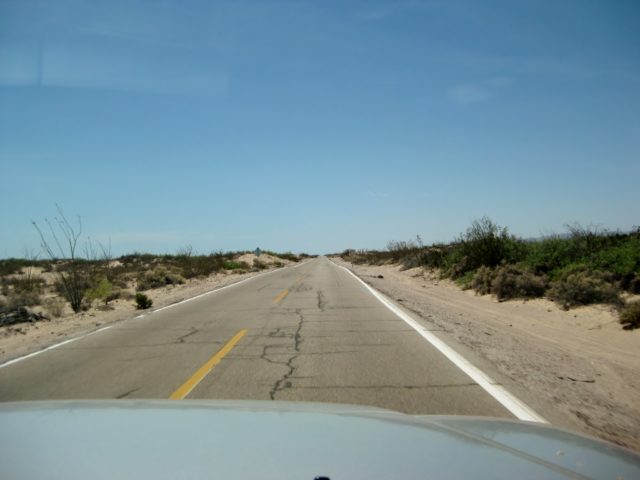
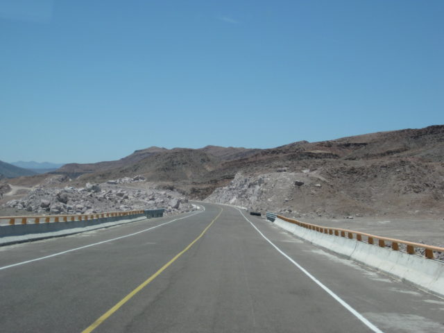
There was about 6 miles of dirt detour between La Puerta and Rio Hardy where there was earthquake damage and they may be widening the highway to four lanes. Another, but shorter section of dirt detour is near the Hwy. 3 junction, and military checkpoint. New, wider highway begins south of the Hwy. 3 junction and turns into four lanes closer to San Felipe. We got gasoline and a pack of Tecate beer at the El Dorado Pemex and market, and then went into San Felipe for a lunch of fish tacos and carne asada tacos before heading south.


Here is the Hwy. 5 road log from Monday, July 19, 2010:
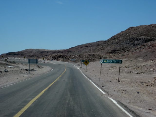
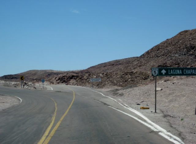
0.0 (0 min.) Puertecitos Entrance Road, sign ahead for Laguna Chapala.
5.2 (6 min.) Playa Cristina
6.2 La Costilla
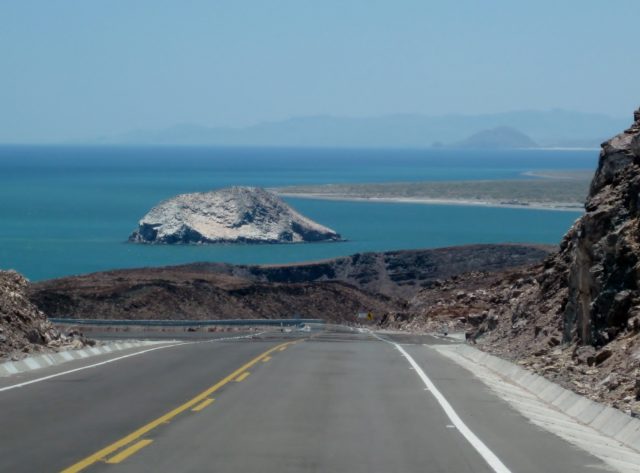
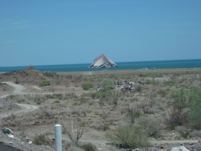
17.6 (20 min.) El Huerfanito (off to east of highway, no sign)
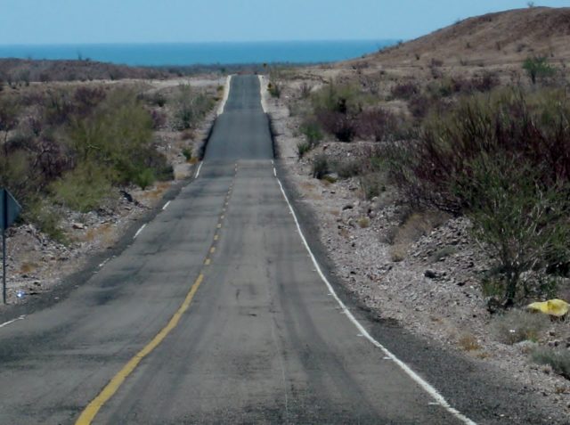
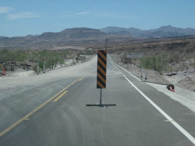
18.5 Detour off pavement onto older road, regraded for construction traffic. Piles of sand on road mark this point, no sign. Ahead on pavement is sign for Campo Tano at Mile 19.0. At 19.3 is a sign ‘End of Pavement, 200 mtrs.’). At 19.5 is the absolute end at an unfinished bridge. No sign of road work on the opposite side of arroyo. Road work does continue beyond, out of sight from here.
Return back to Mile 18.5, detour onto dirt… log continues from this point.
25.1 (34 min. from Puertecitos, not including run to end of pavement) End of new road construction alongside old road. Old road new grading ends… very rough, rocky road on to Gonzaga. Motorhomes and trailers should avoid!
26.0 ‘Okie Landing’ to east (note cement pads along end of gravel beach marking the fish camp of the 1960’s).
33.1 (1 hr. 14 min.) Campo Delfines
36.3 (1 hr. 26 min.) Las Encantadas
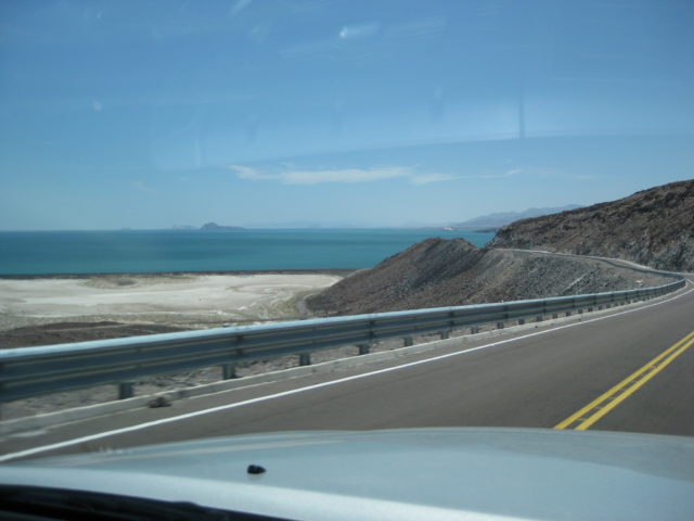
37.9 (1 hr. 31 min.) Punta Bufeo
43.1 (1 hr. 59 min.) El Faro
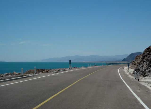
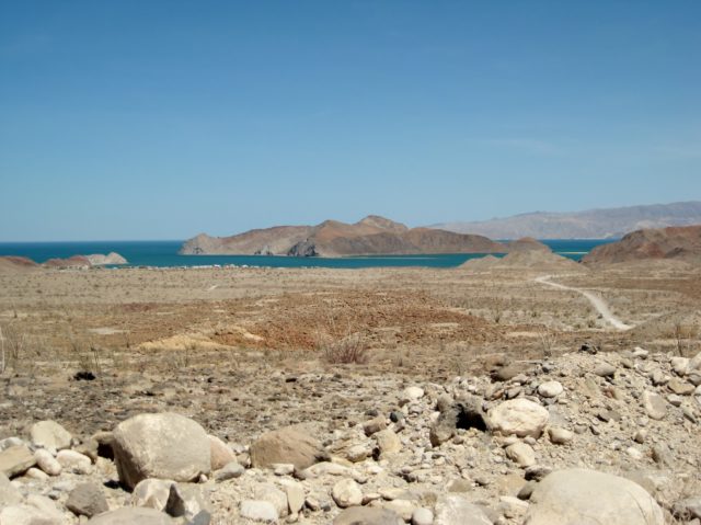
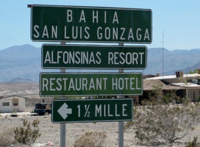
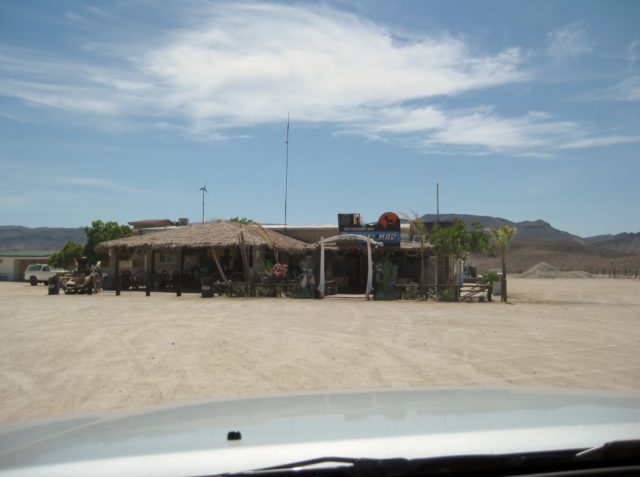
43.4 (2 hr. 1 min.) Papa Fernandez’ Bahia San Luis Gonzaga
Military Checkpoint is just a mile + ahead.
46.1 (2 hr. 12 min.) Alfonsina’s Pemex (closed from 2-4 pm), Rancho Grande Market just ahead on right.
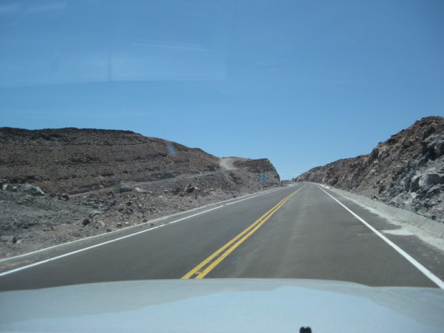
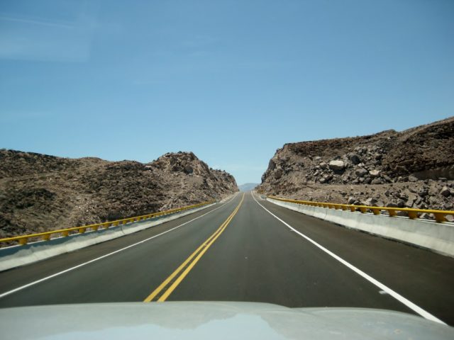
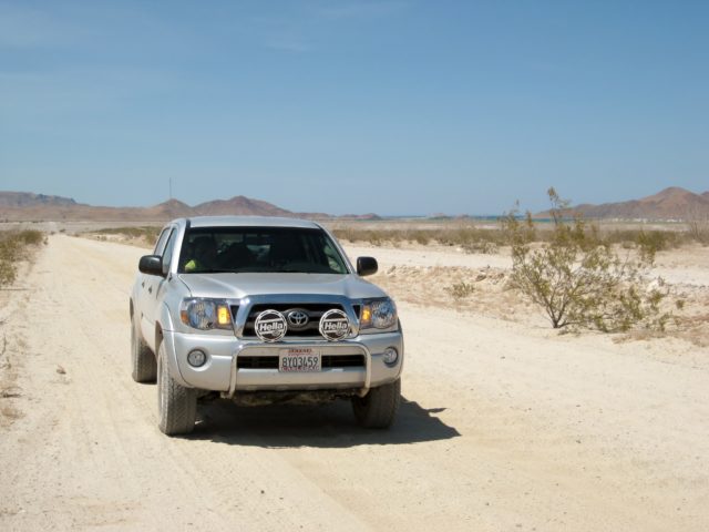
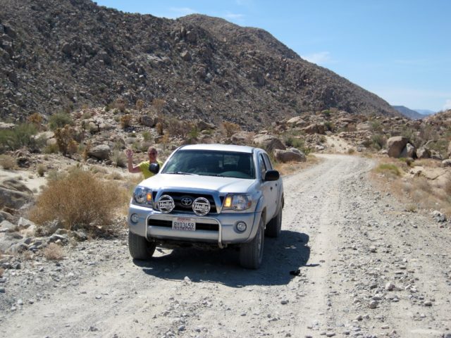
Clear odometer for next section… The main road south from Gonzaga is much better than the road north, but the rough surface still limits maximum speed to ~30 mph (twice that of the north section) in a Tacoma, loaded.
0.0 Rancho Grande ‘Gonzaga Bay’
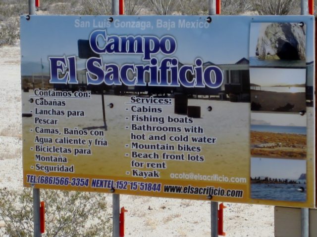
1.3 (8 min.) Road to Campo Beluga and Sacrificio
7.5 (22 min.) Road west to Arroyo Santa Maria and Las Palmitas oasis on the old mission trail ‘El Camino Real’
10.0 (28 min.) Road in from left is the south access route to Punta Final
16.7 La Turquesa Canyon road to west (green pools of water, turquoise mine, and very difficult off road and abandoned mine road shortcut to Hwy. 1 near El Pedregoso)
19.2 (52 min.) Las Arrastras site access road. Gold ore grinding mills, well, nearby waterhole of San Francisquito on the Camino Real.
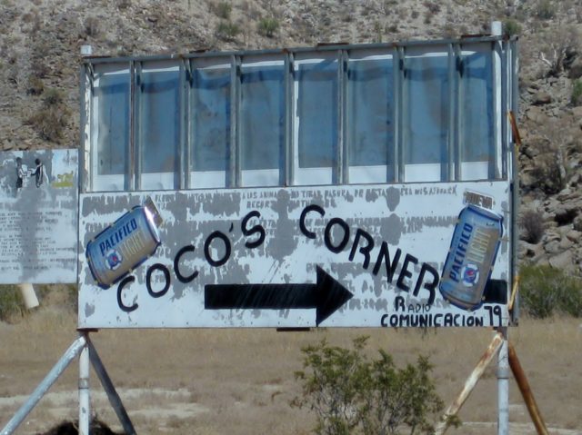
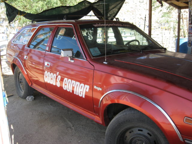
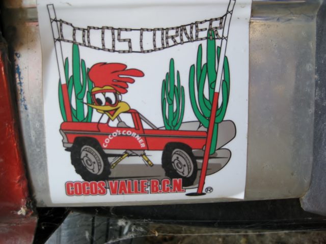
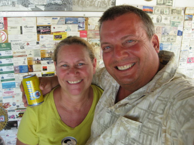
23.0 (1 hr.) Coco’s Corner (cold Pacifico for sale $2) Coco in Ensenada, helper Ramón on hand.
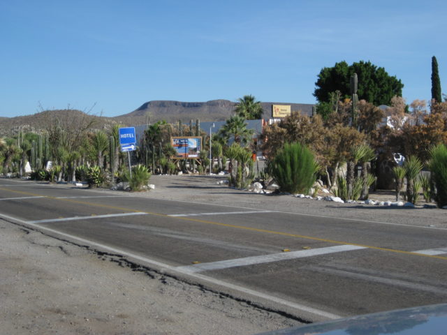
36.1 (1 hr. 30 min. driving time) HWY. 1, Laguna Chapala. Gasoline and tire repairs advertised, 1 km. south.
Two young ladies were on duty at the Cataviña ‘fuel depot’. We purchased 5 gallons of gas for $16 dollars ($3.20: gallon). This gave us security that we could reach El Rosario.
Thanks for riding along with us!
See more Baja Travel Adventures at www.vivabaja.com.