Highway 5 ends at Laguna Chapala, Highway 1 Km. 233.5. Turning left/ southbound to continue

El Portezuelo, the peninsular divide, elevation 2,440’. Km. 243 south of Laguna Chapala.

Map of the roads as they were in 2017.


The paved road to L.A. Bay leaves Highway 1 at Km. 282, the former Parador Punta Prieta. It is 41 miles (66 kms.) to the town of Bahía de los Angeles. Most services available, including fuel.

This sailboat monument is in the center of a traffic circle. A paved road branches here for La Gringa and passes entrances to campgrounds and hotels. Continue straight for the town plaza, more motels and stores.

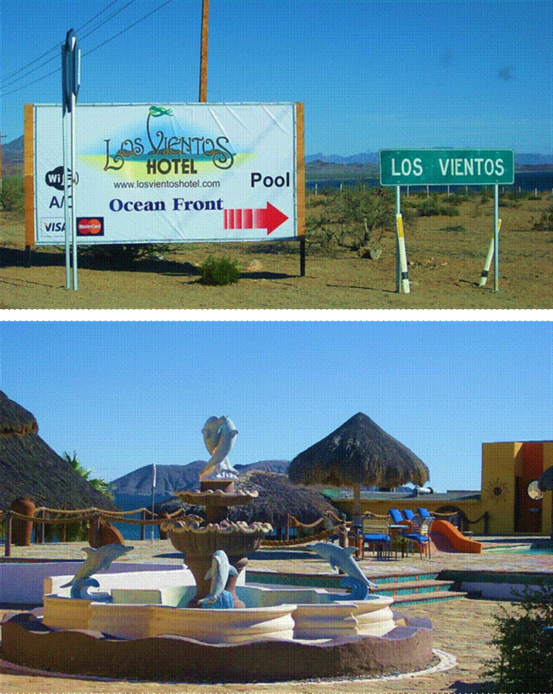
Hotel Las Hamacas

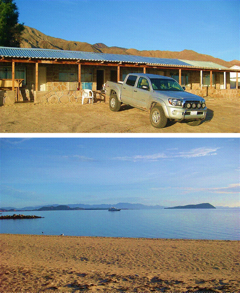
Hotel Costa del Sol.

Hotel Villa Vita

The beach and boat launch near Guillermo’s Hotel.

Casa Diaz was the first accommodations in Bahía de los Angeles and date back to the early 1950s .

Casa Diaz store and chapel. Additional rooms are near the beach,to the left.
Taking the paved road to La Gringa
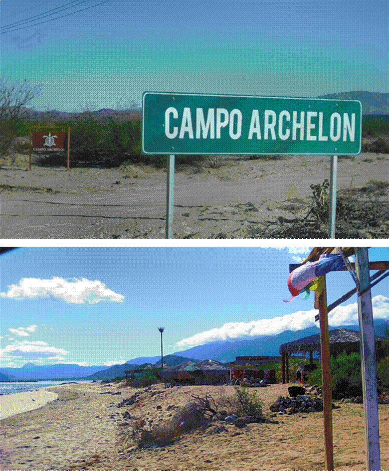
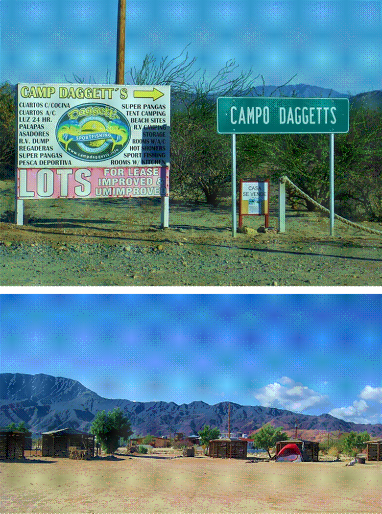
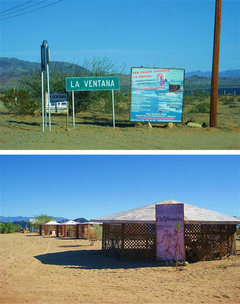
passing several campos and hotels:


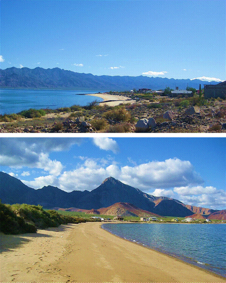
La Gringa, bayside gravel beach.

La Gringa, gulf-side beach and Smith Island volcano.

Heading south from town on the road to Punta San Francisquito
The south end of Bahía de los Angeles, looking left… and looking right


The Las Flores jailhouse and gold storage.
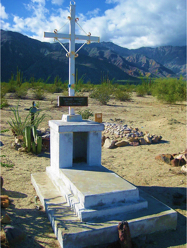
Grave of Dick Daggett Jr. in the Las Flores cemetery.

A memorial to Herman Hill, author of Baja’s Hidden Gold.

The 1890s railroad bed at Las Flores.

The graded road south from Bahía de los Angeles.

Sundown at Bahía las Animas.