The 2006 Baja 500 + Mision Santa Catalina
The weekend of June 2-4, 2006 was the running of the Baja 500 off road race out from Ensenada into the mountains and Pacific coastline of northern Baja.
Our friend Roy ‘The Squarecircle’ invited us to assist him at a radio relay near Valle de la Trinidad for Baja Pits Racing Team
On our way home from the race, we used some of the race course out from Trinidad and then visited the site of a Spanish mission and fort.
ENSENADA Friday, Race Registration

One of the most interesting entries was this motorcycle riding dog!

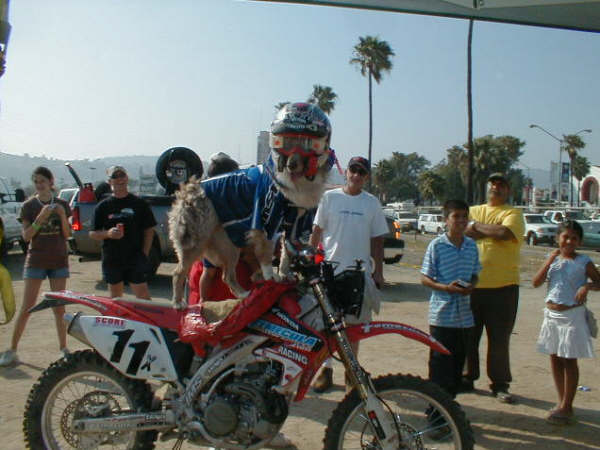
Like all racers, he had a helmet, goggles and a SCORE membership card!
Our camp, for the race…

We found a spot for both rigs at the top of a steep grade, south of the valley where we could make radio contact with other Baja Pit teams.

It was very hot.. easily over 100°.

The first motorcycle… That split in the road turned out to be an exciting option for some racers, as you will see later.

Motorcycles, quads, trucks and buggies of all shapes and sizes compete in several classes.


I moved across the road to get some close ups. Here, you can see our location and Valle de la Trinidad in the distance. We are about halfway between Ensenada and San Felipe.


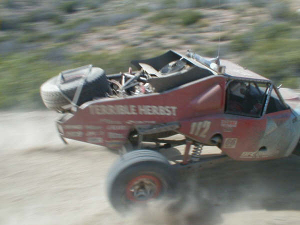
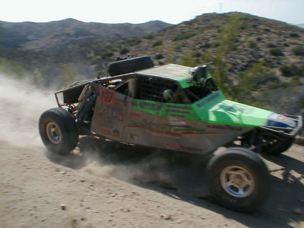


Long after darkness fell, the racers continued in their quest to finish!

The last photo I took Saturday… Racers continued to pass by after our last active team member cleared our position well after midnight!
Sunday

Here we are on the Baja 500 course, north of Valle de la Trinidad, following Roy.

Roy checks out a poor rattlesnake that didn’t make it across the race course.

Elizabeth takes a photo of Roy and I by our Toyotas.

Elizabeth and I,…
Next stop, Mision Santa Catalina!
Mission Santa Catalina 1797-1840

The mission was located on this hill, above the cemetery.
GPS: 31°39.63′, -115°49.27′ (WGS84) elev. 3,900′

On the mission site is this corner stake. Very little remains to show this was once home to 600 natives and their Spanish keepers.

Just a tiny mound of adobe marks the fort’s look-out tower location at the northwest corner of the compound.
View south from the mission site.
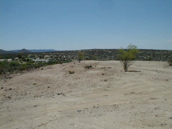
The Pai Pai Indian village of Santa Catarina is just over the rise to the right, the cemetery is just below to the left. A running stream is visible a short distance beyond. The Santa Catalina mission site is about a half mile northwest of the village.
Santa Catarina is about 5 miles from the town of Independencia. Turn northeast off Hwy. 3 at 31°36.72′, -115°53.40′ (GPS map datum WGS84).

Nearing Ensenada along Hwy. 3 are some examples of creative rock art!