At approx. race mile 80, my son Chris and I found a great spot to watch this year’s Baja 500. The first ‘500’ race began in 1968 as an Ensenada to Ensenada loop through northern Baja California. 35 years later the concept remains the same, but many of the vehicles have sure changed!

First to start are the motorcycles… several classes are based on engine size or rider’s age. They began to arrive at our location before 8 am.
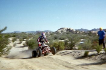
Next came the quads! There is a class for most any vehicle!

This year’s race was very close to a full 500 miles, over all kinds of terrain and up to 5,000′ above sea level.
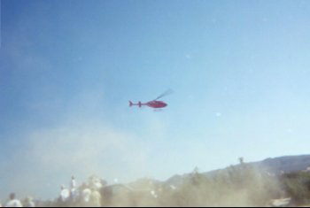
When we started seeing helicopters, we knew the big bad Trophy Trucks were coming!
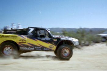
This one bright truck is sponsored by Off-Road.com
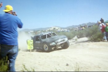
Right behind was the Riviera Racing Team Trophy Truck.
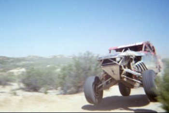
Next came Class 1, unlimited ‘buggies’… many were V-8 powered!
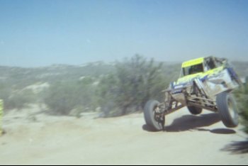
Some look like a design from NASA for exploring Mars!

Mini Pick-ups Class 7 (modified) and 7-S (stock) are popular race vehicles. Chris captured many rigs ‘catching air’ just past a short hill.
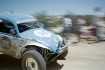
The largest class were the ‘Baja Bugs’ (naturally). Class 5 (open) and 5-1600 (restricted) have many entries from Mexico and the U.S.
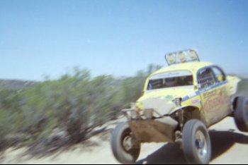
Plenty of big lights for the night on this Baja Bug.
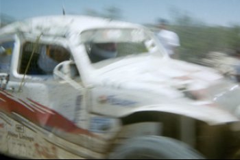
Off road racing sometimes gets close to the spectators! I think my son is too close (no telephoto, this is a disposable camera)!
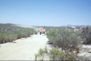
Baja racing is against the clock, not other racers. Sometimes contestants will not see each other for great distances.
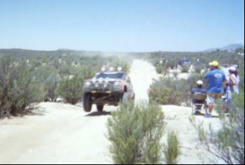
About the last group to start is Class 17 (Jeep Speed). Using the popular Jeep Cherokee to create an entry level, less expensive way to participate in this sport. See http://www.jeepspeed.com/ Hope you enjoyed this view from one spot along the 2003 Baja 500. More details of Baja racing can be found at http://www.score-international.com/
The drive down Mano Canyon to Guadalupe Canyon:
Guadalupe Canyon from Hwy. 3, going down the mountain
After watching the Baja 500 race with my son, we continued east to drop off the Sierra Juarez to the desert below, then turned north to camp at Guadalupe Canyon Hot Springs.
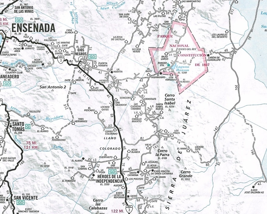
The road is shown in the AAA Baja map (see below) and Baja Almanac topo map book 2003 Baja Almanac You may follow along with either, but the Almanac offers superior details, although not totally accurate.
My GPS waypoints are at map datum setting NAD27 Mexico (same as the Almanac).
On the AAA map, note the following ranchos: Agua Blanca (just east of Hwy. 3, opposite the road to El Alamo); Los Pinos; Cerro Prieto; El Mano; and the ‘Locked Gate’ (it’s not).
We followed the race course (not on maps) from Hwy. 3 to a point just north of Agua Blanca and made camp near a cross road, where the race course turned left/east. Our camp near this crossroad was at 31°42.24’/ 115°54.75′ elev. 4,005′.
After the race, we followed the course from that ‘left turn’ and went up CAÑADA LAS CODORNICES 5.2 miles (map 8, R-1, Baja Almanac) to…
A junction near ARROYO EL TULE at 31°45.20’/ 115°51.52′ elev. 4,663′ (Almanac page 6, R-6, bottom edge) The race course turned right (south) here, we continued ahead.
The main traveled road eventually curves eastward through the forest (not shown in Almanac).
Road again turns north at 31°47.89’/ 115°49.25′, elev. 5,009′. We just followed the road with visual signs having the most traffic, going the general direction we sought, and it took us the right way.
Soon the road turned to the east, and we arrived at the big RANCHO LOS PINOS (shown on AAA map, but not the Almanac) at 31°48.77’/ 115°46.26′, elev. 5,086′. The peak CERRO PRIETO is just north of the ranch. Drive right through ranch property, going east.
Road curves north passing the north side of RANCHO CERRO PRIETO (31°49.23’/ 115°45.34′) then turns east (not shown in Almanac continuing east).
Great view looking north along the east side of Sierra Juarez, down CANON EL PALMAR 31°49.12’/ 115°43.01′.
Road climbs a ridge and then drops into the upper end of CANON EL MANO for a long, steep down grade. Painted arrows (graffiti) on boulders from SCORE indicates this was a race course, in the past.
RANCHO EL MANO is seen down in the canyon near some palms, driveway at 31°48.56’/ 115°40.39′ near canyon floor.
The road will climb out of El Mano canyon, over the north ridge. Some concrete was dumped for improved traction on a steep pitch. The ‘Locked Gate’ on the AAA map is a steel cable gate and was not locked or even closed.
The road descends the remaining slopes of the Sierra Juarez and is quite rough heading for the desert floor.
Once at the bottom, the road heads east to a junction with a faint road that continues south along the foot of the sierra, at 31°49.81’/ 115°33.89′, elev. 1,271′ Turn north, following the arroyo.
COHABUZO JUNCTION 31°55.74’/ 115°36.22′, elev. 860′. This point is not named on the map, but is the name used by off road racers (Located to the east of the airplane symbol in the Almanac, and east of Cerro Cohabuzo in the AAA map). Here is a large level area where pit teams can service their racers. A poor road and race route goes east to the Laguna Salada basin, joins a good road to Ejido Saldana, and reaches Highway 5 (midway between Mexicali and San Felipe).
From Cohabuzo Junction north to Guadalupe Canyon’s access is a fast graded road. Cohabuzo to Guadalupe is 29 miles.
Our Baja 500 camp (near Agua Blanca) to Cohabuzo was 36 miles, but don’t be in a hurry… this is a great short cut in miles, but not in driving time! Have a great Baja adventure!
Until next time, adios amigos! http://vivabaja.com/