Our Baja trip of December, 2002 to January, 2003 had my kids (Chris and Sarah) and I exploring unmapped roads north of Bahia de los Angeles.
The day after Christmas, we drove all the way to Guadalupe Bay. The next day we continued over the next dry lake north and found the entrance to Arroyo los Candeleros. This snaked through extremely colorful hills before reaching the gulf shore, where we camped the second night. The next few nights we camped with the Humfreville’s at Raquel & Larry’s, Bahia de los Angeles. After New Year’s we went south to Bahia San Rafael and then west searching for a lost mission!
Los Candeleros Beach
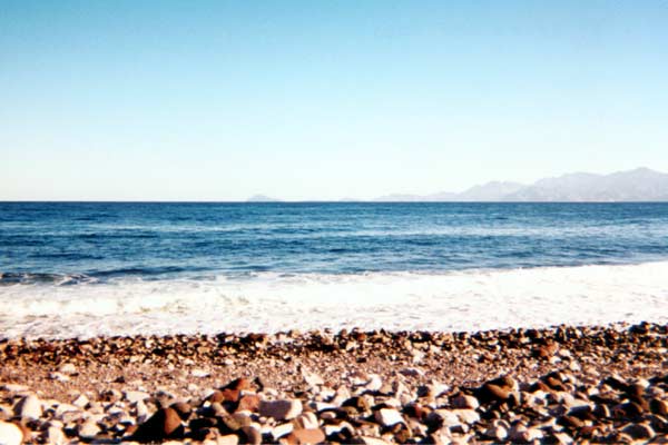
At the end of Arroyo Los Candeleros the GPS is N29°22.60′, W113°44.50′ (WGS84). In the distance is the north end of Isla Angel de la Guarda.
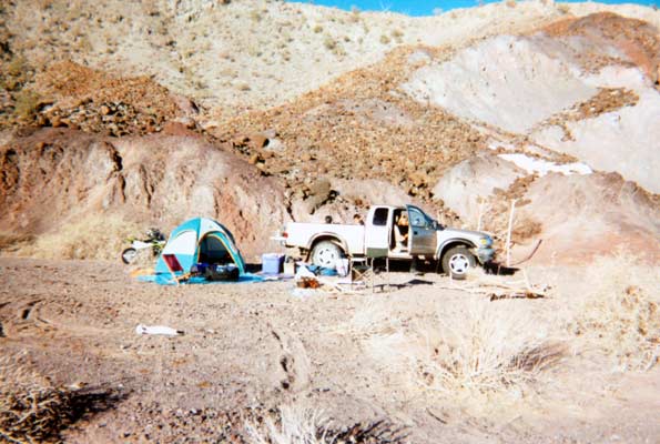
Our campsite on the north side of the arroyo. The hill gave us some protection from the north wind.
Near the El Toro Copper Mine
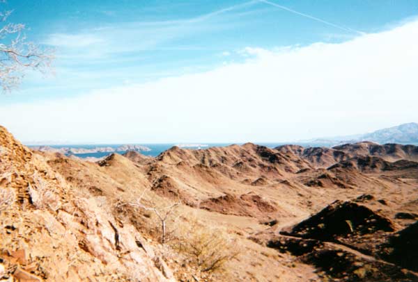
The road between La Gringa and the copper mine is below, Bahia de los Angeles is above.
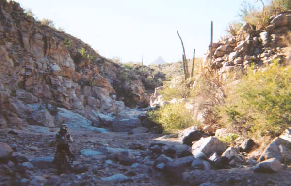
Old road south of L.A. Bay

Traveling west from San Rafael to Valle la Bocana in search of a lost mission. This was the road opened by the Gardner party almost 40 years ago.
Tinaja Santa Maria, photo looking west.
The end of the ‘road’. This water hole served travelers on the Golfo Camino between Santa Gertrudis and San Borja. GPS is N28°26.07′, W113°20.03′ (WGS84). Cerro la Sandia is in the distance. This is the same peak seen south from L.A. Bay.
David K in March, 2003
Taken at the Fred Hall Boat Show by Doug Means http://www.bajanomad.com/ Like my hat says: “VIVA BAJA”! http://vivabaja.com/