In November, 2006 Elizabeth, her son Josh and I volunteered to help with race communications with Team Baja Pits at EL CRUCERO, over 300 race miles from the start.
We also took a few days to show Josh some of the sites in Baja we would be near. La Lobera, Cataviña painted cave, L.A. Bay, Montevideo, Coco’s Corner, Gonzaga Bay and Shell Island.
Ensenada

Giant Baja Wal Mart shopping cart really drives the message home!
La Lobera

Six miles north of El Rosario (Km. 47 1/2) take the road along the power lines 3 miles to La Lobera, the sea lion crater.

Elizabeth and Josh, who recently graduated from WyoTech automotive university.
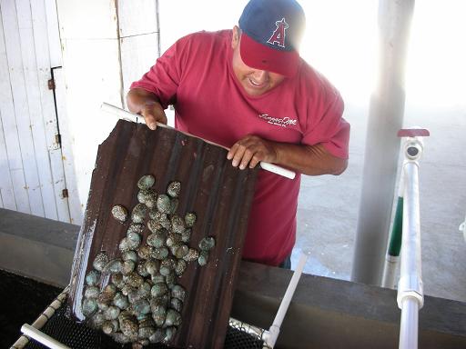
La Lobera’s owner, Adrian Santana shows us how abalone is raised. All kinds of sea food is being produced in the tanks, for the (future) restaurant.
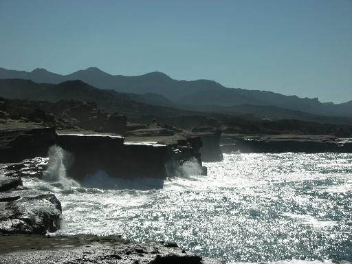
Dynamic coastline!
Painted Cave
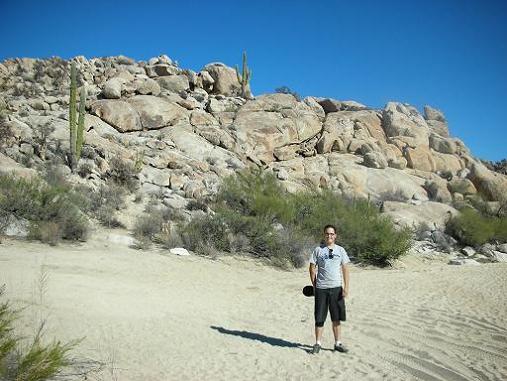
Indian pictographs are located under the big boulder on top of that hill… two miles north of Cataviña.


Roy ‘the squarecircle’, Elizabeth ‘Baja Angel’ and Josh inside the painted cave.

That’s me… ‘David K’, always happy to be in Baja!


More photos of the artwork taken by my daughter in 2003 can be seen at http://vivabaja.com/703/page5.html
EL CRUCERO (KM. 261)

Normally an empty desert where the old road from San Felipe meets the old road to La Paz, El Crucero becomes a small town of race teams. This was the day before the race, taken from Highway 1. There were many more here the next day!

Baja Pits getting set up
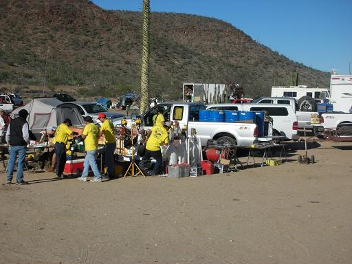

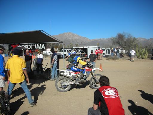
The first motorcycle we pitted was early afternoon and the first race trucks arrived early in the evening.

Here’s one of the quad racers being serviced
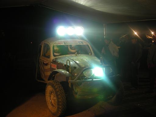
A Class 5-1600 racer (Baja Bug with a1600 cc engine)

A Class 11 racer (Pure stock VW beetle)

This truck has seen some action, but was still in the race!

Class 10 is 2 seat buggies with a limited size engine. These guys were looking pretty worn, with still almost 700 miles to go, to get to La Paz!
Bahia de los Angeles
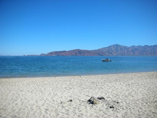
Just another perfect day in Baja! We had lunch at Guillermo’s and enjoyed thie view.
Hector & Sunshine Monument
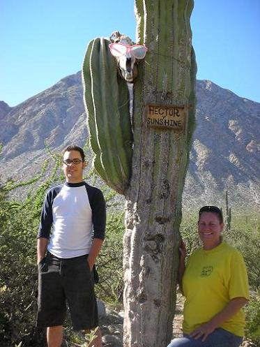
Josh and Elizabeth pose by the monument to two lovers… However, one is missing. Kidnapped perhaps?
Mike’s Mountain


The zoom on my new camera works well. This is the top of Mike’s Mountain where a cave with provisions is located.
Punta La Gringa

The north end of L.A. Bay is La Gringa. This photo shows the pebble beach on the side of the point facing opposite the bay.
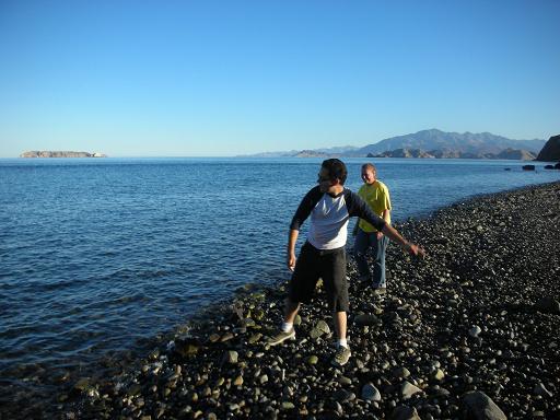
Josh skips some stones on the sea.

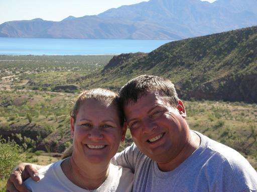
Elizabeth (‘Baja Angel’) and David K with Smith Island’s volcano in the background.
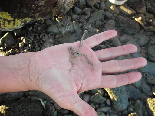
A brittle star from under a La Gringa rock.

Starfish
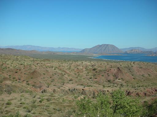
Panorama of Bahia de los Angeles

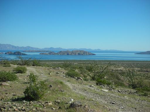
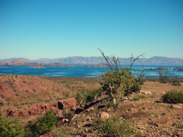
To Montevideo

The road to Montevideo passes through some of Baja’s finest desert gardens.
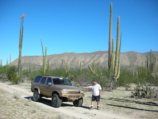
Roy (‘The Squarecircle’) and his 4Runner.
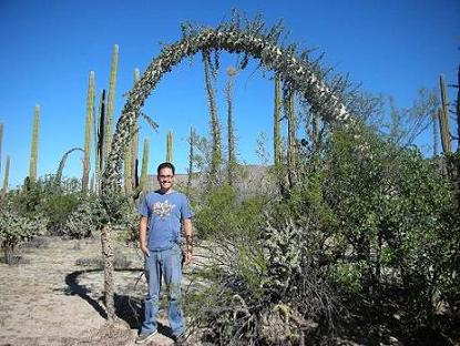
Some boojum trees grow back to the ground and make an arch.

Roy at Montevideo

Back at the L.A. Bay highway we have a beer stop waiting for Roy to catch up.
Coco’s Corner

Josh, Coco, Elizabeth

Roy and David get into the photo thanks to some bikers at Coco’s Corner.
Coco’s Guestbook

Coco shows my entry from January 2005 and the one from this day… ‘got baja?’
Ceiling Decorations
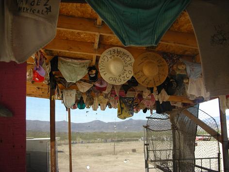

It was good to see that Coco was doing well.
Alfonsina’s at Bahia San Luis Gonzaga


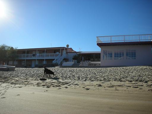
Alfonsina’s Motel and Restuarant
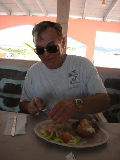
Roy is ready to dig in to his dinner!

Elizabeth, Antonio, his wife Marta and David at Alfonsina’s Resort, Bahia San Luis Gonzaga.

Adios to Gonzaga Bay as we want to spend the last night of our vacation on Shell Island, 80 miles north.
Islas Encantadas

The Enchanted Islands are off-shore, between San Luis Gonzaga and Puertecitos.
Sunrise at Shell Island
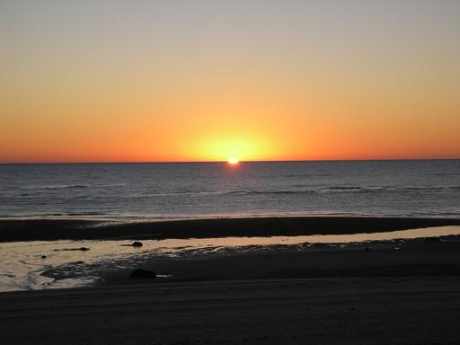
A great way to start our last day in Baja, for this trip.
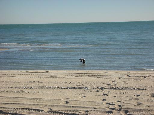
Josh looks for some treasures before the incoming tide hides them.

We take a drive to the south end of Shell Island to show Josh, before heading home.

Pelicans getting their breakfast, easily!

Sitting by the water’s edge…
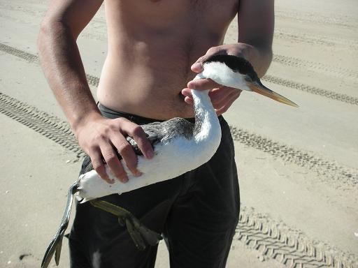
The bird didn’t fly away so Josh checked to see if some fishing line was wrapped around it. That wasn’t the case and we think it had lost its sight.

Back at camp, we pack up for the trip home. Thanks for visiting Baja with us!